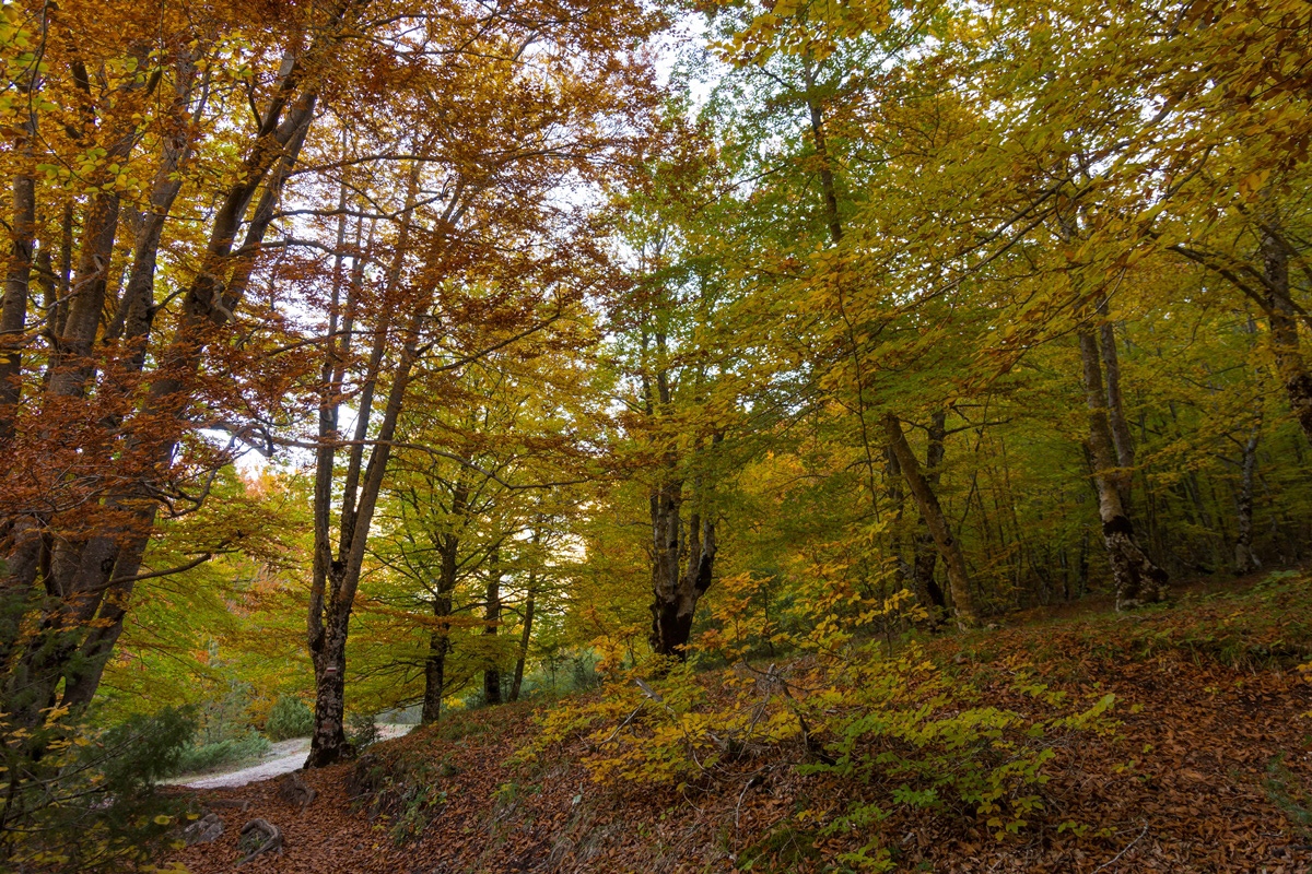
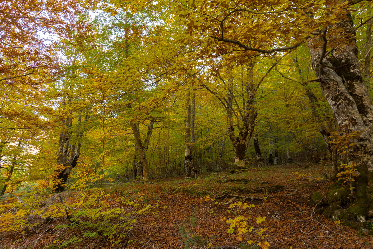
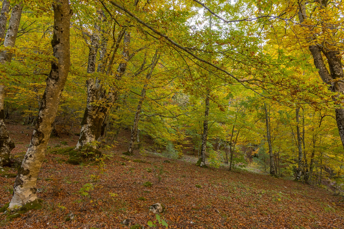
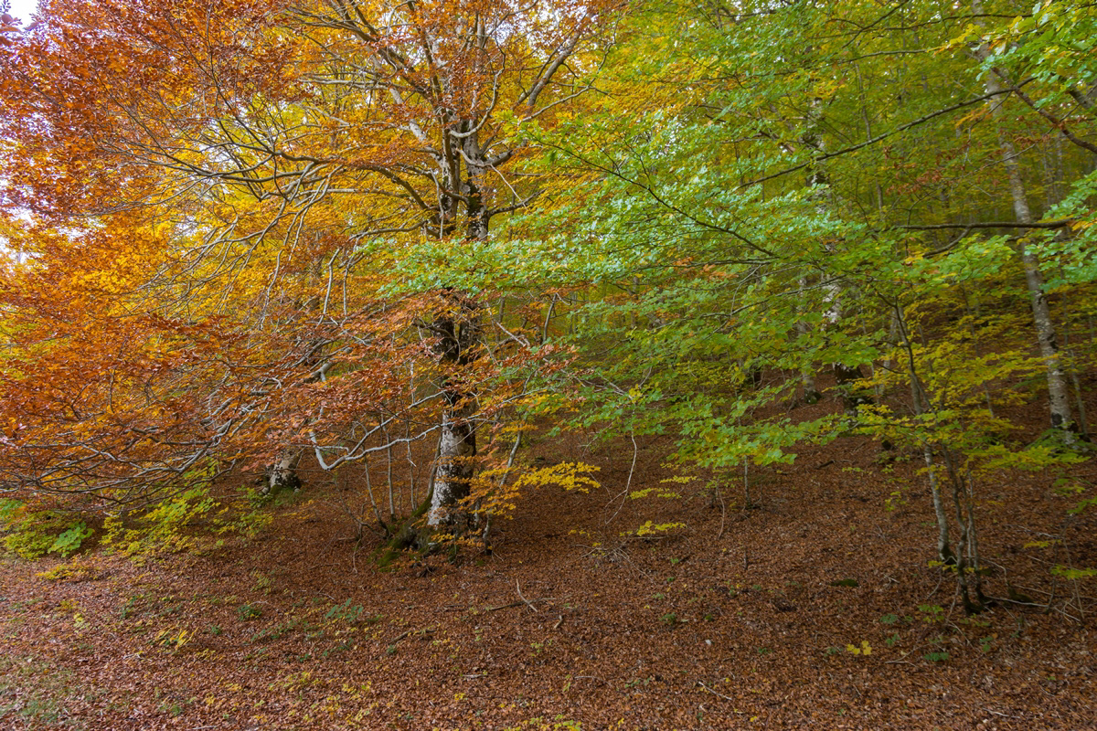
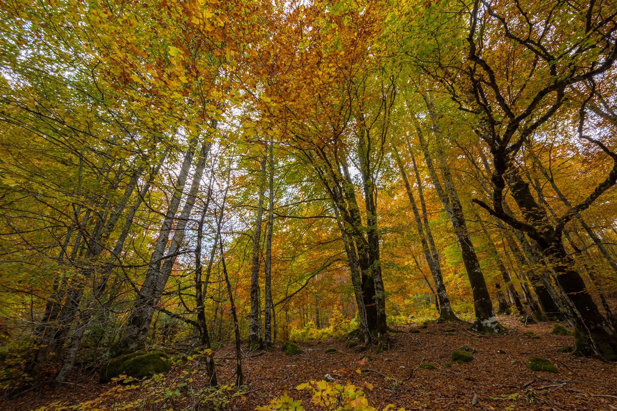
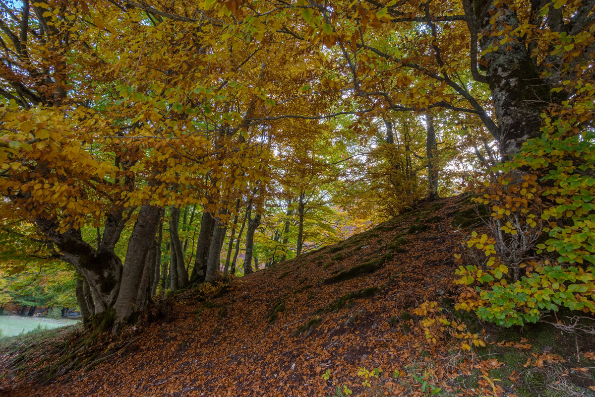
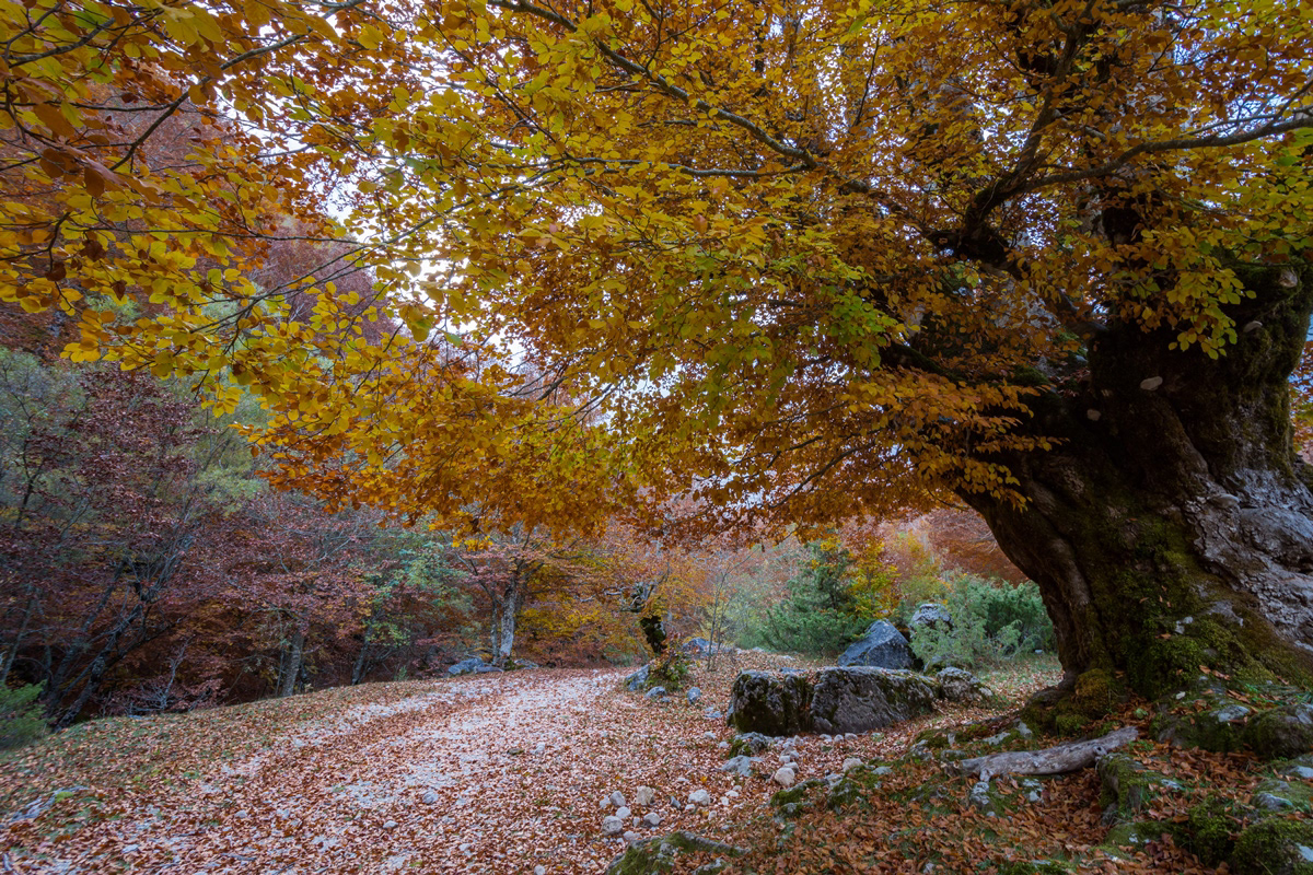
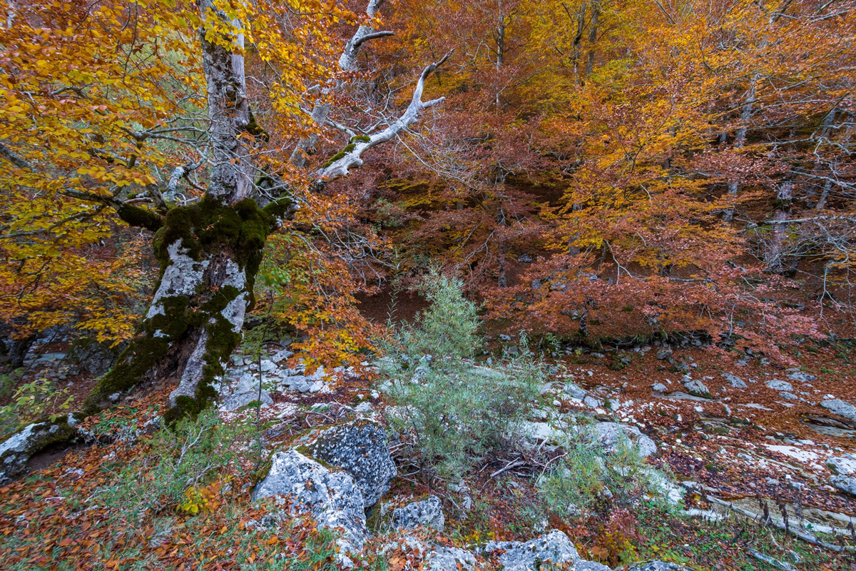
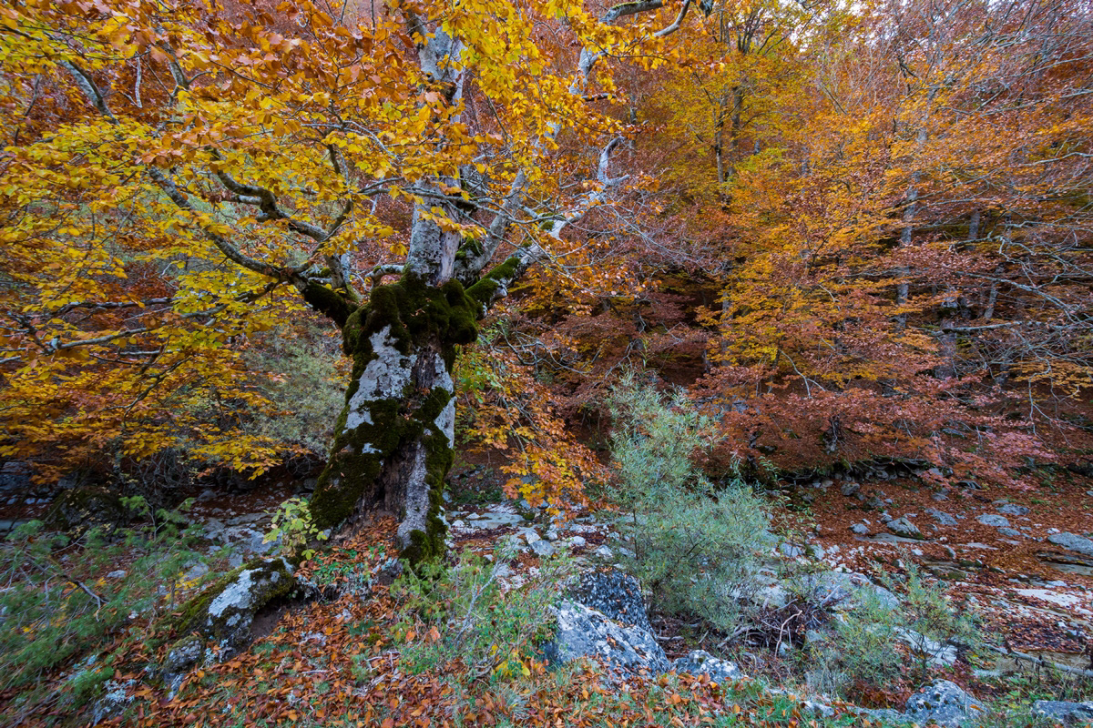
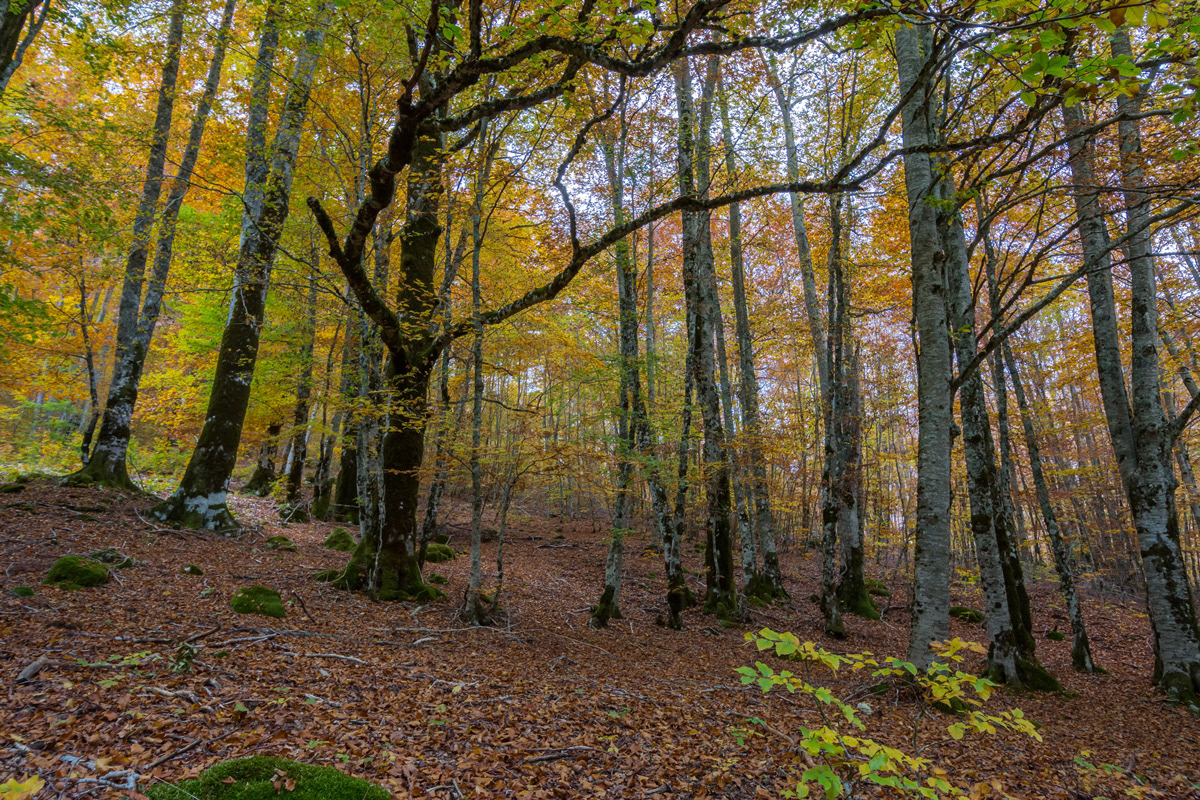
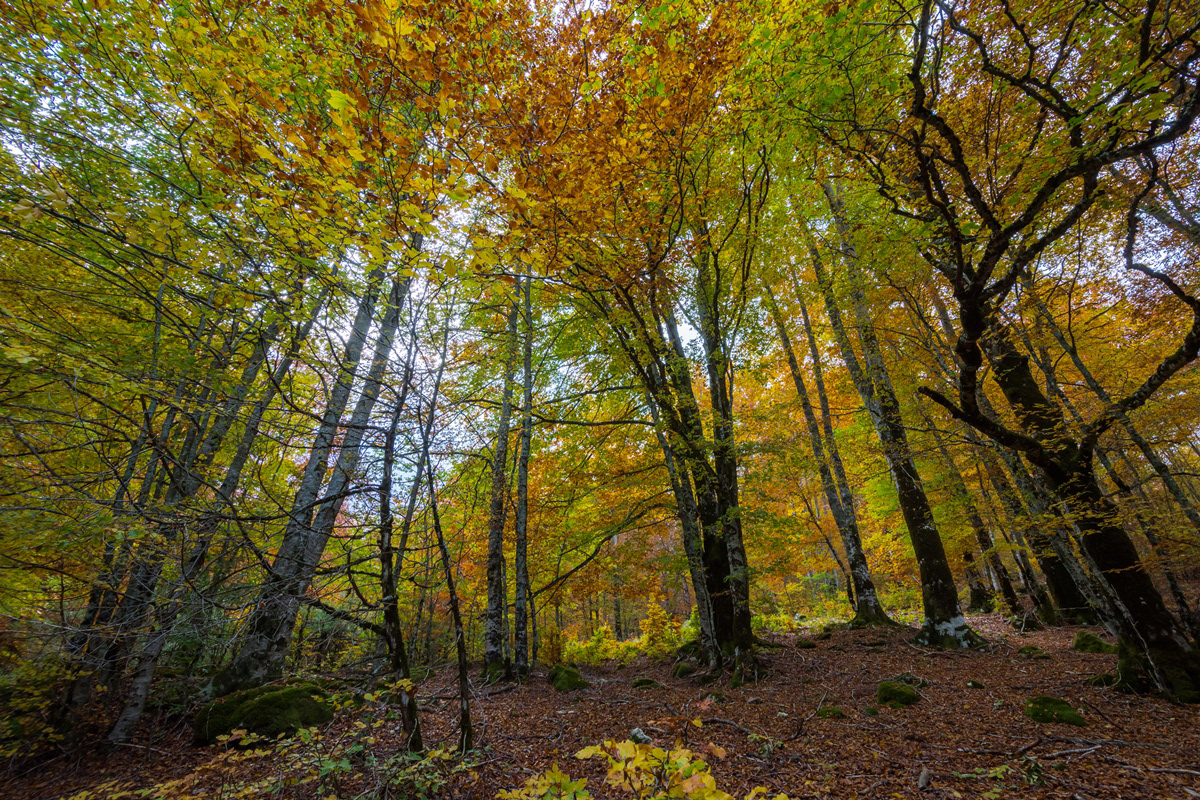
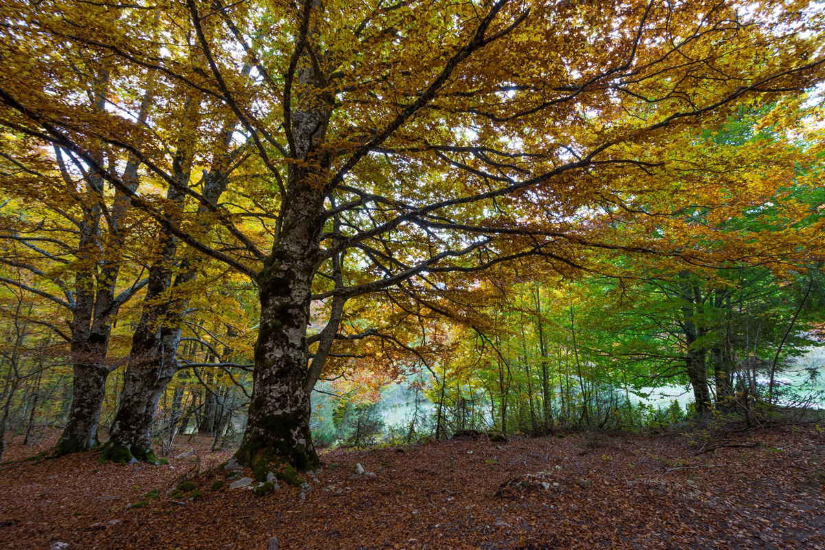
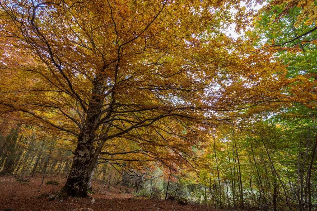
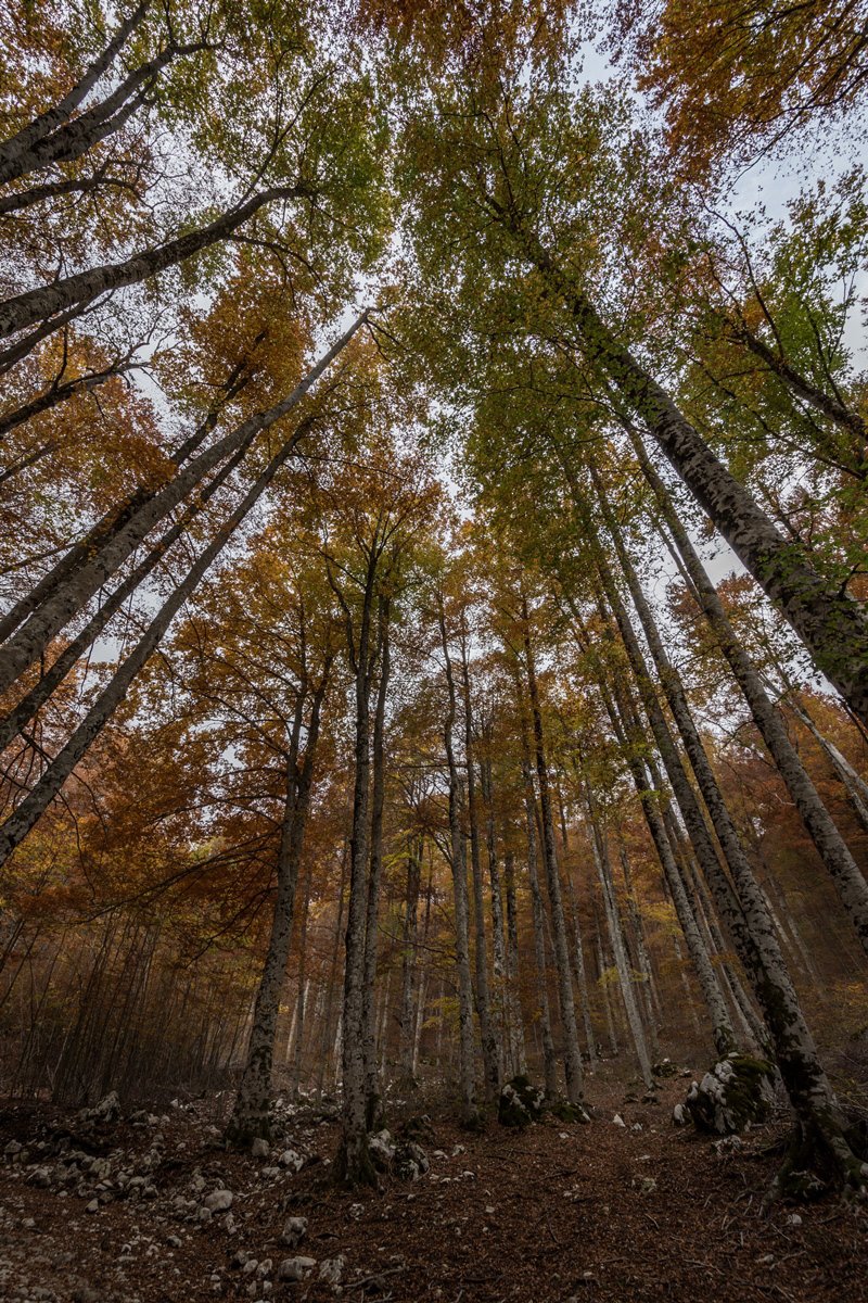
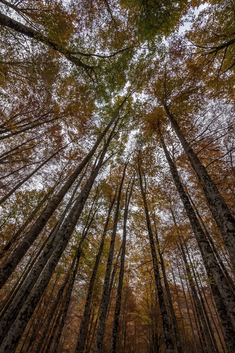
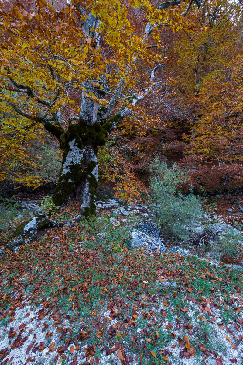
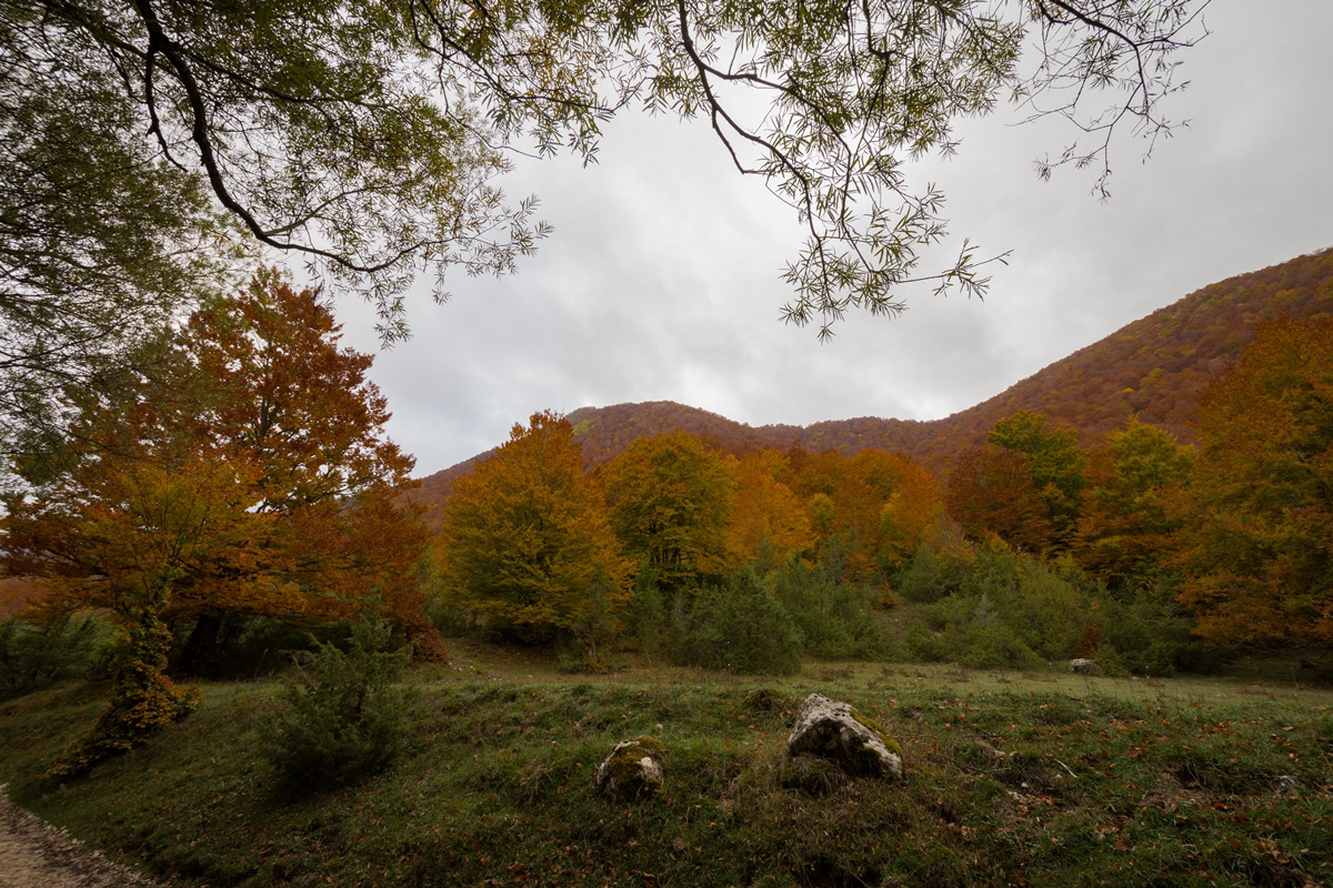
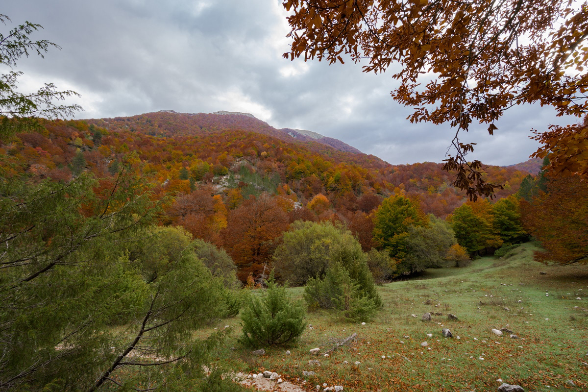
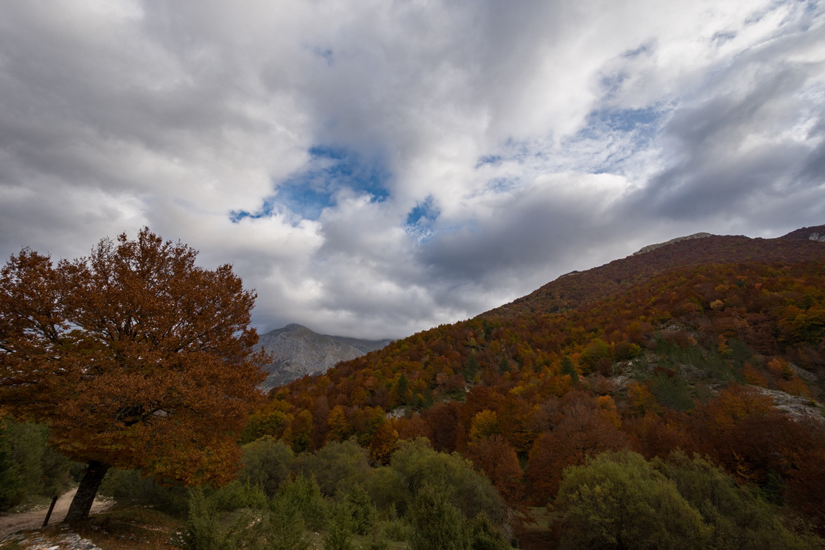
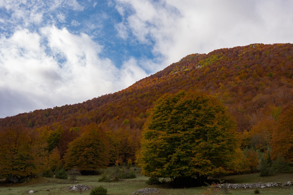
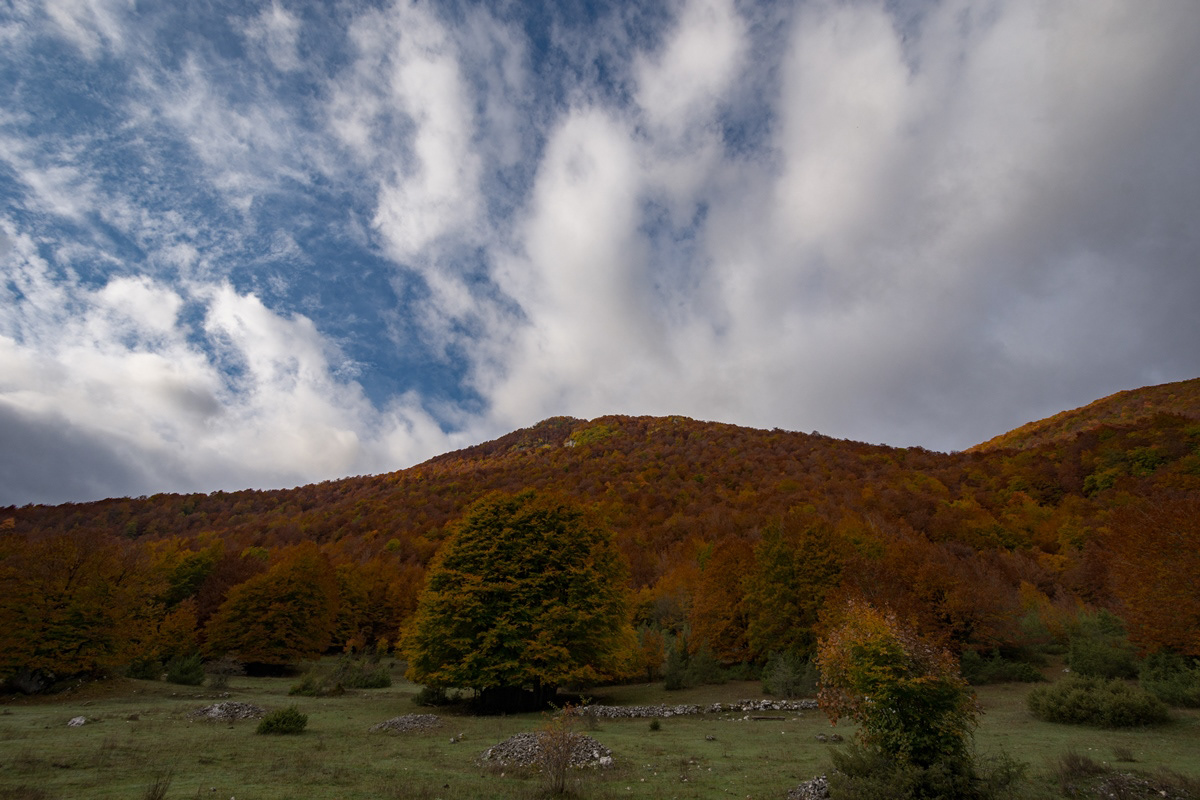
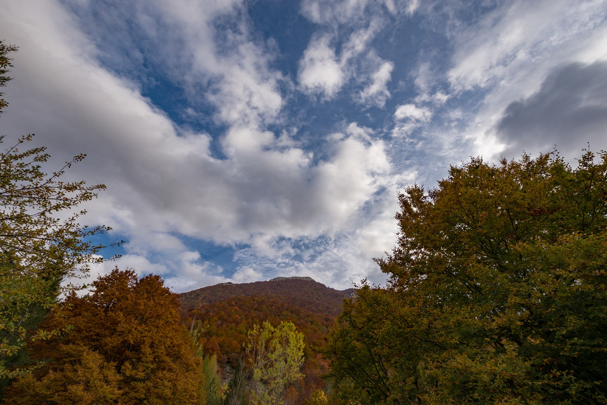
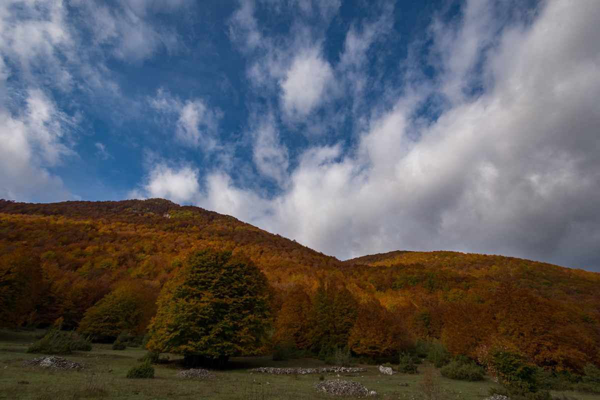
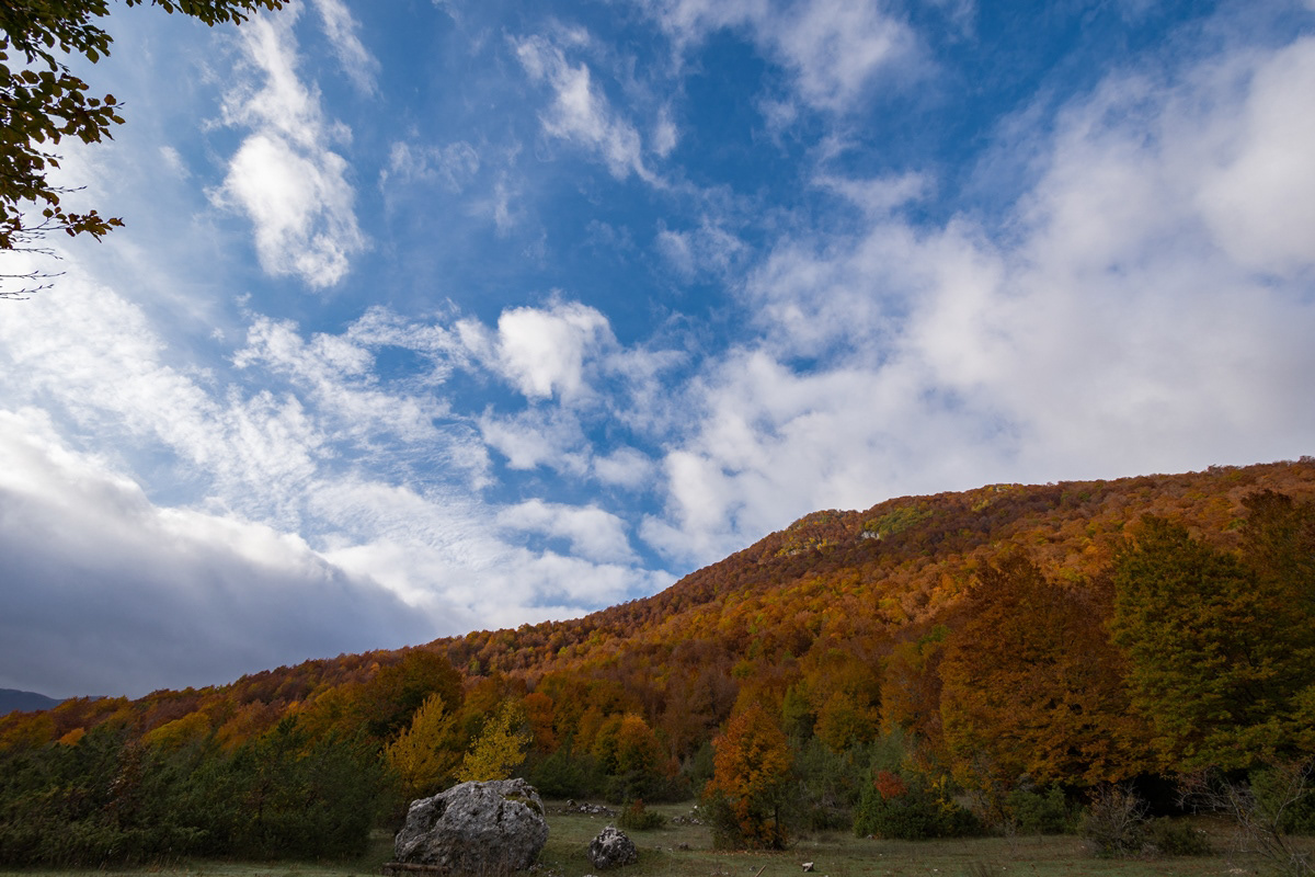
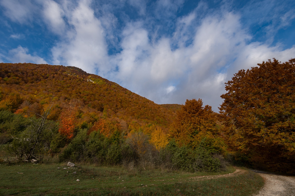
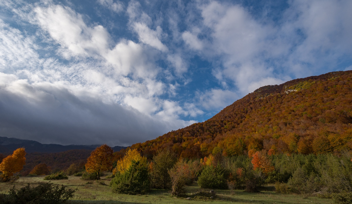
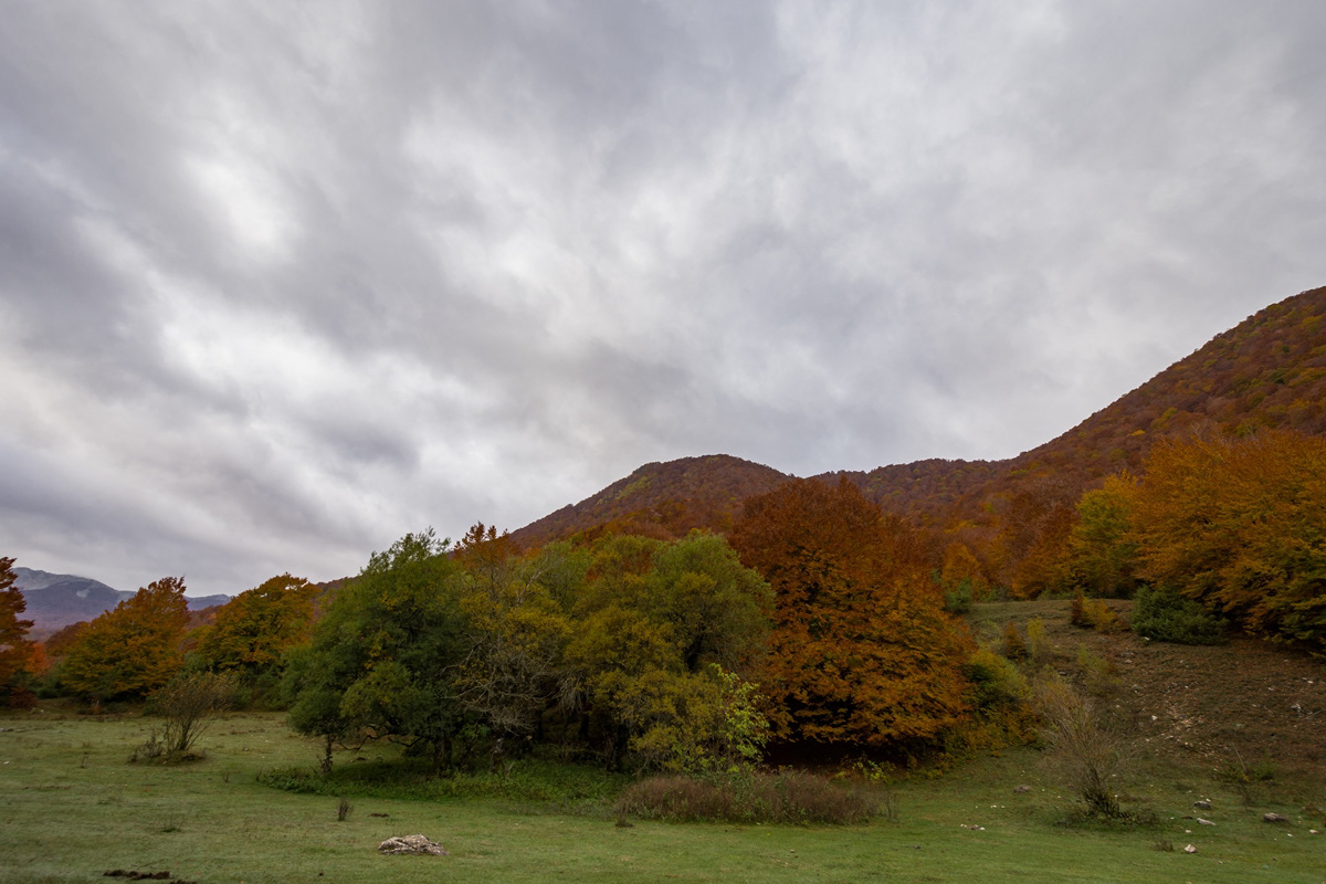
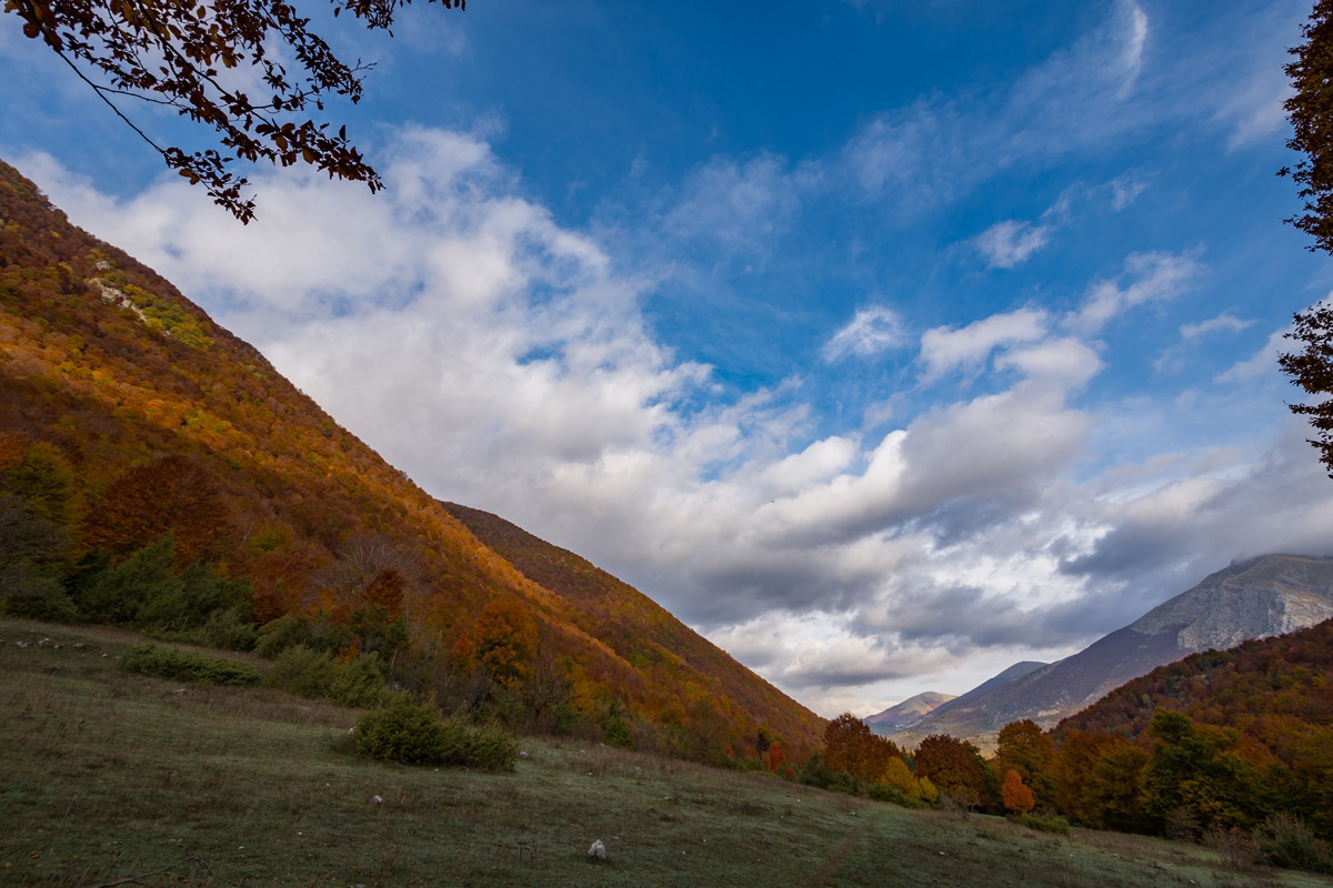
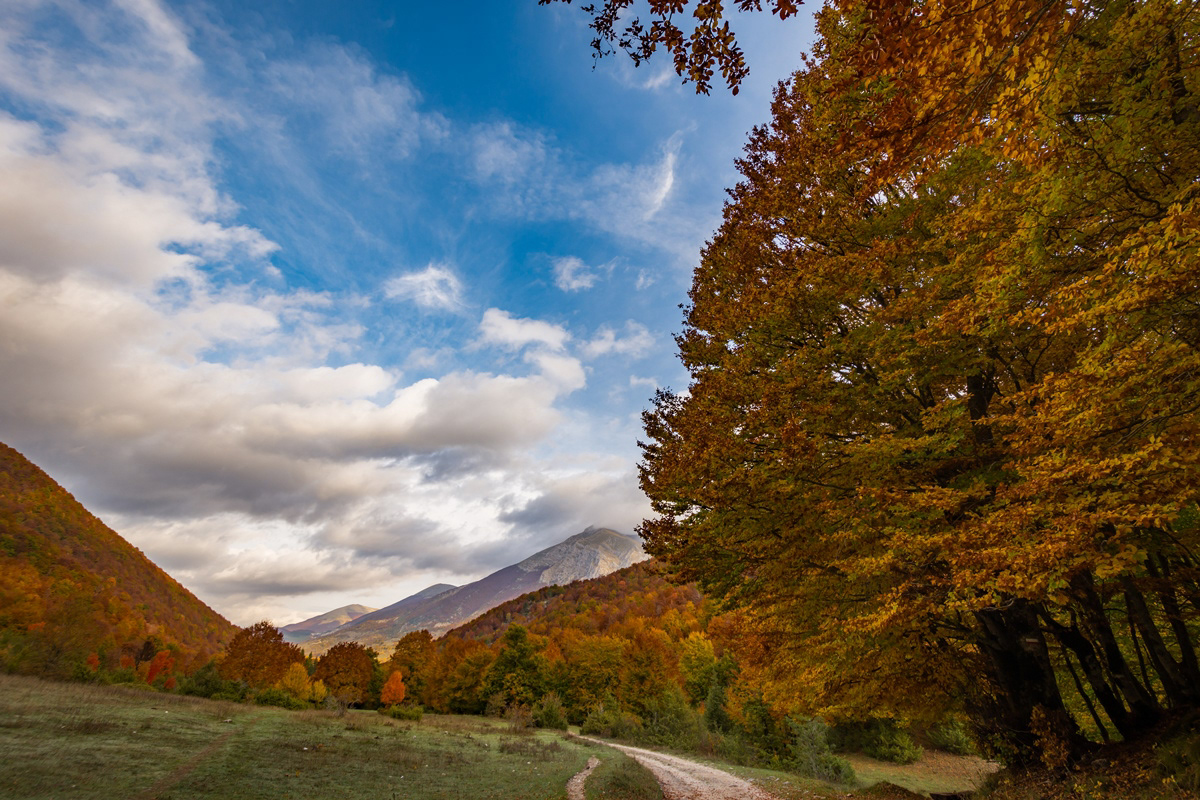
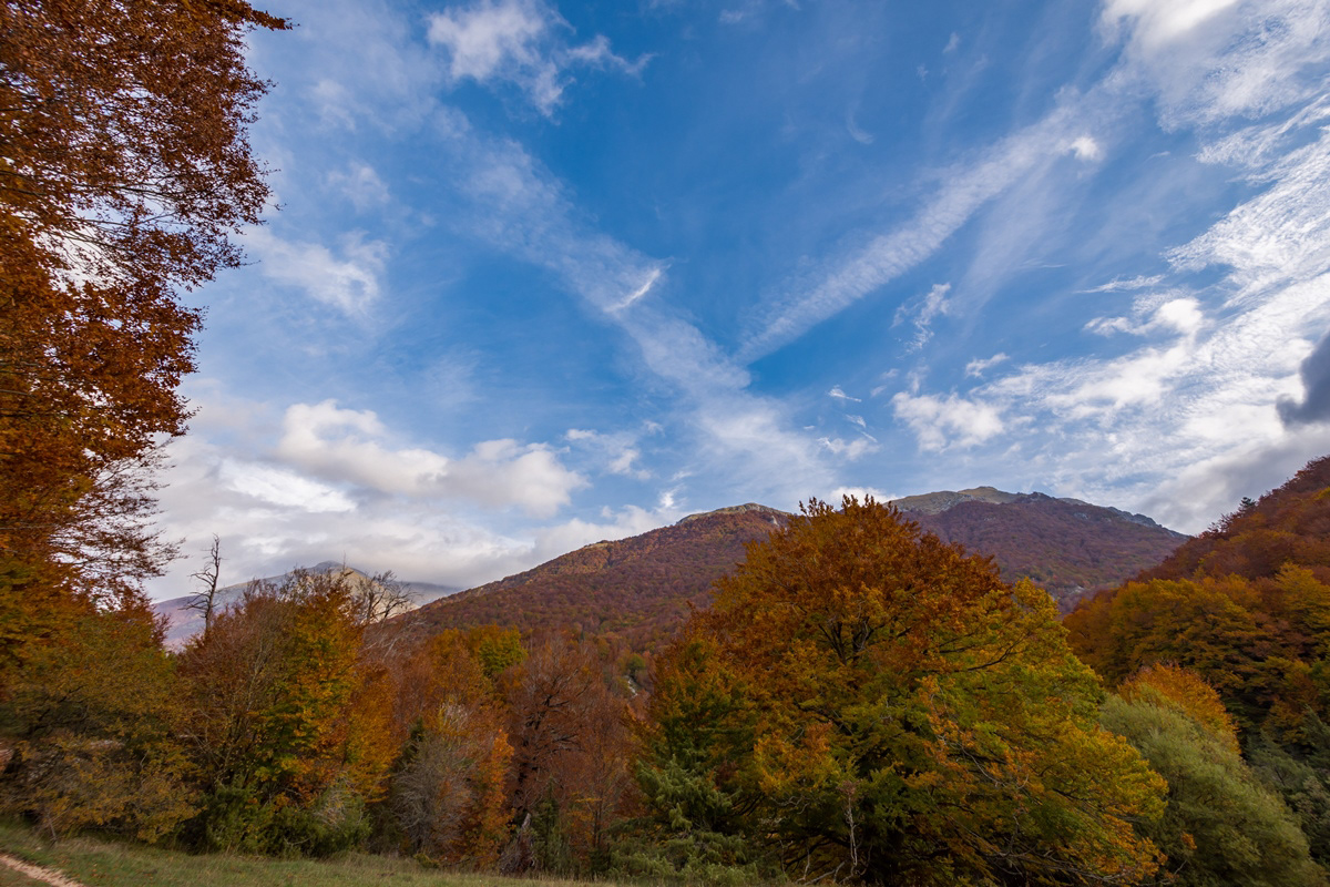
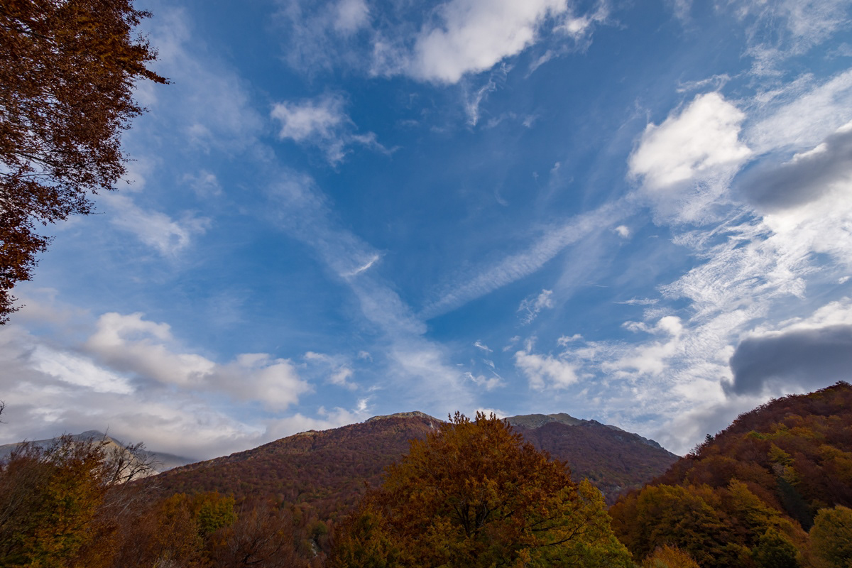
You may also like

2017
Mainarde
Mountain range which, compared to the Abruzzo National Park, extends from north to south and whose crests delimit the border between Lazio (west) and Molise (east). Due to its importance both from a naturalistic and faunistic point of view, the mountain range was inserted by presidential decree in the Abruzzo National Park in January 1990. It includes high altitude peaks that are around 2000 meters: Monte Meta (2241), Monte Metuccia, Coste dell'Altare, Monte Mare (2020), Monte Cavallo (2039), Monte Forcellone (2030). The Mainarde, like the rest of the Apennine mountains, are very ancient and of limestone origin. On them the erosion of winds and waters has left clear traces in gorges, gullies and beautiful potholes of the giants, the latter very clearly visible by anyone who looks out from the viewpoint of San Michele. Covered by dense arboreal vegetation (beech groves) up to an altitude of 1800-1900 meters, the Mainarde - beyond this altitude - offer a spectacular turf, ideal habitat for particular types of endangered fauna such as the Abruzzo chamois the Marsican brown bear, the Apennine wolf and the lynx.
2021
Rio Verde
The Rio Verde was born in Quarto, between Abruzzo and Molise, and after a short path it joins the Sangro with a considerable difference in height (400 m) creating the spectacular waterfalls divided into three consecutive jumps of 200 meters.
2022
Abruzzo, Italy. Spectacular sunrise.
2023
Alfedena. Church of Saints Peter and Paul
Church of Saints Peter and Paul (13th century), is located in the western part of the town, in Largo Don Filippo Brunetti, is characterized by a Romanesque-inspired façade (13th century), was restored following the damage of the Second World War. The interior of the church is the result of the reconstruction in 1954. The large mosaics on the facade and inside were created by Fausto Conti in the 1950s.
2021
National Park of Abruzzo, Lazio and Molise
The national park of Abruzzo, Lazio and Molise is one of the oldest national parks in Italy, officially established on 11 January 1923 by Royal decree-law including for the most part in the province of L'Aquila and the remainder in that of Frosinone and in that of Isernia.
2018
Caporciano (AQ) S. Maria di Centurelli
The church is located in the fork between the tratturo L'Aquila-Foggia and the tratturo Centurelle-Montesecco, making it a strategic structure in the period in which transhumance played a fundamental role in the economy of southern Italy.
2024
Santa Maria di Basciano. Church of S. M. in Porto Lungo
The Church of S. Maria a Porto Lungo is of notable artistic interest, dating back to the 14th century and, built on an ancient pagan temple, is in Romanesque style.
2023
Stiffe Caves, Abruzzo, Italy
The Stiffe caves are a complex of karst caves located near Stiffe, in the territory of the municipality of San Demetrio ne' Vestini (AQ), in Abruzzo, included within the Sirente-Velino regional natural park. Testimony of a unique active resurgence in Italy, made accessible to the public since 1991, today they constitute one of the main naturalistic sites of the L'Aquila area, recording over 40,000 visitors annually. The Stiffe caves represent one of the best-known karst phenomena in central Italy. The complex has been used since the Bronze Age even if archaeological remains have been found inside it dating back to the Neolithic and Eneolithic. The presence of an underground stream that gave rise to the complex led, in 1907 and on the initiative of the Marquis Alfonso Cappelli, to the construction of a hydroelectric plant of which some remains are still visible today near the entrance to the cavities. In 1956, when the plant was dismantled, the first speleological explorations began; after a first visit in 1957, the following year it was the Marche Speleological Group of Ancona that went beyond the first natural siphon. Subsequently, the Roman Speleological Group and, starting from the eighties, the Aquilano Speleological Group continued the first exploration attempts. The speleological excursions were then followed by a process of valorisation of the site which led to the opening of the complex to the public in 1991. In 1994 a mixed group of speleologists from L'Aquila and France managed to access for the first time the unexplored area after the first waterfall while in 1996 the speleology museum named after Vincenzo Rivera was opened. A second extension of the tourist route, up to the current length of about 700 m, was made in 2007 with the opening of the second waterfall to visitors, while the extension of the explored part of the cavity exceeds one kilometre. From 1996 to 2018 the site was managed by the public-private company Progetto Stiffe S.p.A. while it is currently managed directly by the Municipality of San Demetrio ne' Vestini. The 2009 earthquake led to a closure of the caves for safety reasons; the complex was only reopened to the public in 2011.
2023
Barrea and its lake. Glimpses of autumn
Barrea (Varréa in Barreano dialect) is an Italian municipality of 705 inhabitants in the province of L'Aquila in Abruzzo. Located in Alto Sangro, it is a tourist resort thanks to the presence of the lake of the same name and the national park of Abruzzo, Lazio and Molise. Barrea is located in a mountain area belonging to the Alto Sangro basin and Lake Barrea. The inhabited center, located at an altitude of 1,060 m above sea level, occupies a protrusion at the eastern end of the lake enclosed by the steep sides of the Meta mountains to the south and Mount Greco to the north. The lake was created in 1951 by damming the Sangro river and is used for the production of electricity. The Barrea Lake Wetland, managed by the Abruzzo Lazio and Molise National Park Authority, has been on the list of areas covered by the Ramsar Convention since 1976.
2018
Barrea and its lake (AQ)
Barrea is located in a mountainous area overlooking the Sangro Valley and the Barrea Lake. The inhabited center, located at an altitude of 1,060 m a.s.l., occupies a ledge at the eastern end of the lake enclosed by the steep sides of the Meta mountains to the south and Mount Greco to the north. Its territory is included in the national park of Abruzzo, Lazio and Molise. The lake was formed in 1951 by the damming of the Sangro river and is used for the production of electricity. The Wetland of Lake Barrea, managed by the Abruzzo, Lazio and Molise National Park Authority, has been on the list of areas provided for by the Ramsar Convention since 1976.
Back to Top