You may also like

2017
P.N.A.L.M. - Part I
The National Park of Abruzzo, Lazio and Molise is a national park including for the most part (about 3/4) in the province of L'Aquila in Abruzzo and for the remainder in that of Frosinone in Lazio and in that of Isernia in Molise. It was inaugurated on 9 September 1922 in Pescasseroli, the current headquarters and central management of the park, while the body of the same name had already been established on 25 November 1921 with a provisional directorate. Its establishment took place officially with the Royal decree-law of 11 January 1923.
2024
Celano. The Piccolomini Castle
The Piccolomini Castle of Celano overlooks the Fucino plain, once occupied by the third largest lake in Italy, majestically and imposingly.
2023
Stiffe Caves, Abruzzo, Italy
The Stiffe caves are a complex of karst caves located near Stiffe, in the territory of the municipality of San Demetrio ne' Vestini (AQ), in Abruzzo, included within the Sirente-Velino regional natural park. Testimony of a unique active resurgence in Italy, made accessible to the public since 1991, today they constitute one of the main naturalistic sites of the L'Aquila area, recording over 40,000 visitors annually. The Stiffe caves represent one of the best-known karst phenomena in central Italy. The complex has been used since the Bronze Age even if archaeological remains have been found inside it dating back to the Neolithic and Eneolithic. The presence of an underground stream that gave rise to the complex led, in 1907 and on the initiative of the Marquis Alfonso Cappelli, to the construction of a hydroelectric plant of which some remains are still visible today near the entrance to the cavities. In 1956, when the plant was dismantled, the first speleological explorations began; after a first visit in 1957, the following year it was the Marche Speleological Group of Ancona that went beyond the first natural siphon. Subsequently, the Roman Speleological Group and, starting from the eighties, the Aquilano Speleological Group continued the first exploration attempts. The speleological excursions were then followed by a process of valorisation of the site which led to the opening of the complex to the public in 1991. In 1994 a mixed group of speleologists from L'Aquila and France managed to access for the first time the unexplored area after the first waterfall while in 1996 the speleology museum named after Vincenzo Rivera was opened. A second extension of the tourist route, up to the current length of about 700 m, was made in 2007 with the opening of the second waterfall to visitors, while the extension of the explored part of the cavity exceeds one kilometre. From 1996 to 2018 the site was managed by the public-private company Progetto Stiffe S.p.A. while it is currently managed directly by the Municipality of San Demetrio ne' Vestini. The 2009 earthquake led to a closure of the caves for safety reasons; the complex was only reopened to the public in 2011.
2009
Scanno (AQ)
Scanno (Scannë in Abruzzo) is an Italian town of 1 883 inhabitants located in the province of L'Aquila, in Abruzzo. The municipal territory, surrounded by the Marsicani Mountains, is partly included within the borders of the National Park of Abruzzo, Lazio and Molise and is in turn part of the Peligna mountain community. It is an important winter and summer resort and is part of the club The most beautiful villages in Italy. In the surroundings there are the homonymous lake, which however belongs for three quarters to the municipality of Villalago, the ski resorts of Passo Godi and Monte Rotondo, the plateaus of Monte Greco and Lake Pantaniello, as well as the natural reserve of the Sagittario Gorges. Scanno is also known as the City of Photographers; a place much appreciated by many Italian and foreign authors. Throughout the twentieth century, its unmistakable views and its people were the subjects of many famous shots taken by Hilde Lotz-Bauer, Henri Cartier-Bresson, Mario Giacomelli, Renzo Tortelli, Gianni Berengo Gardin, Ferdinando Scianna, Mario Cresci and many others . In 1964 it was a photograph taken in Scanno by Mario Giacomelli that became part of the prestigious collection of photographic works of the Museum of Modern Art in New York. This image is known as The Scanno Boy, or Scanno Boy.
2024
Celano. Church of San Michele Arcangelo
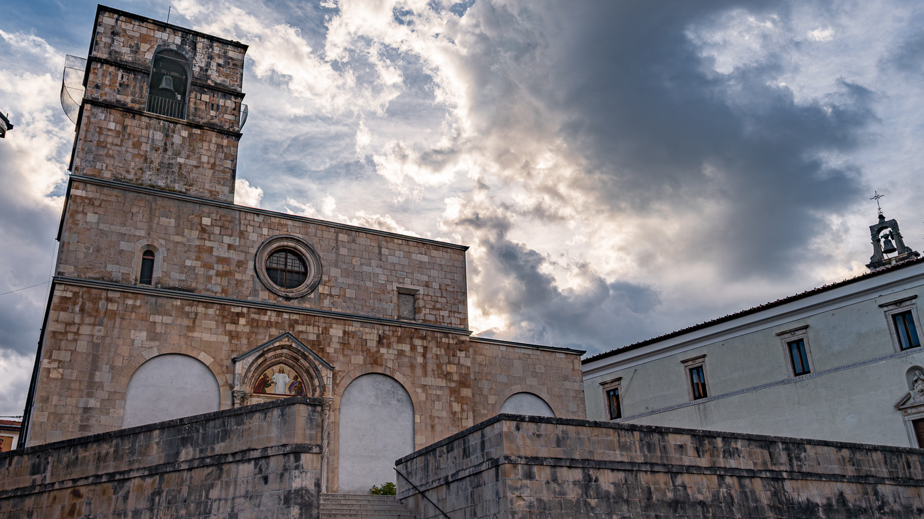
The construction of the Church of San Michele Arcangelo dates back to the 14th century. At the end of the 14th century the Counts of Celano donated it to the congregation of the Celestine monks
2017
Mainarde
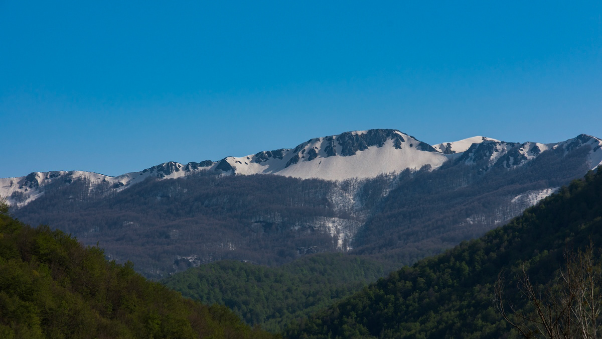
Mountain range which, compared to the Abruzzo National Park, extends from north to south and whose crests delimit the border between Lazio (west) and Molise (east). Due to its importance both from a naturalistic and faunistic point of view, the mountain range was inserted by presidential decree in the Abruzzo National Park in January 1990. It includes high altitude peaks that are around 2000 meters: Monte Meta (2241), Monte Metuccia, Coste dell'Altare, Monte Mare (2020), Monte Cavallo (2039), Monte Forcellone (2030). The Mainarde, like the rest of the Apennine mountains, are very ancient and of limestone origin. On them the erosion of winds and waters has left clear traces in gorges, gullies and beautiful potholes of the giants, the latter very clearly visible by anyone who looks out from the viewpoint of San Michele. Covered by dense arboreal vegetation (beech groves) up to an altitude of 1800-1900 meters, the Mainarde - beyond this altitude - offer a spectacular turf, ideal habitat for particular types of endangered fauna such as the Abruzzo chamois the Marsican brown bear, the Apennine wolf and the lynx.
2018
Barrea and its lake (AQ)
Barrea is located in a mountainous area overlooking the Sangro Valley and the Barrea Lake. The inhabited center, located at an altitude of 1,060 m a.s.l., occupies a ledge at the eastern end of the lake enclosed by the steep sides of the Meta mountains to the south and Mount Greco to the north. Its territory is included in the national park of Abruzzo, Lazio and Molise. The lake was formed in 1951 by the damming of the Sangro river and is used for the production of electricity. The Wetland of Lake Barrea, managed by the Abruzzo, Lazio and Molise National Park Authority, has been on the list of areas provided for by the Ramsar Convention since 1976.
2025
Crecchio. The Ducal Castle De Riseis-D'Aragona
The castle is composed of four corner towers that enclose as many buildings. It is surrounded by a perimeter of walls that also enclose a garden.
2023
Sulmona. Church of San Filippo Neri
The construction of the church and oratory of San Filippo Neri began in the mid-17th century and was completed in 1677. However, in the beginning the congregation was based - together with that of the Jesuit Fathers - in the church of Sant'Ignazio , located in Piazza XX Settembre and no longer existing today; only later did it move to Piazza Maggiore - the current Piazza Garibaldi - within the lively and populous Borgo Pacentrano. The earthquake of 1706 forced a reconstruction of the complex, which Baron Giambattista Mazara magnanimously took charge of between 1785 and 1794, deserving the commemorative plaque placed on the right wall of the church; the adjoining convent had to assume considerable decorum, so much so that in 1796 it was even able to host King Ferdinand IV of Bourbon on a visit to the city. In 1799, with the suppression of the Filipino order, the Fathers left the city and the sacred building, abandoned and reduced to profane use, was transformed into an oven and also used for military purposes. Likewise, the oratory, confiscated by the Royal Property, had various uses and today is the headquarters of the Command of the Guardia di Finanza. Only in 1920 did the church regain its religious use, becoming the seat of the parish of Sant'Agata. From here the traditional demonstration of the Madonna fleeing into the square begins on Easter morning, the joyful conclusion of Holy Week in Sulmona.
2024
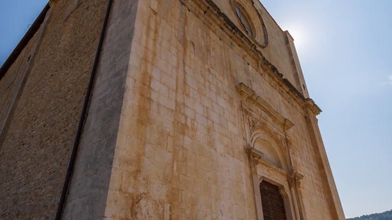
Celano. Church of St. John the Baptist
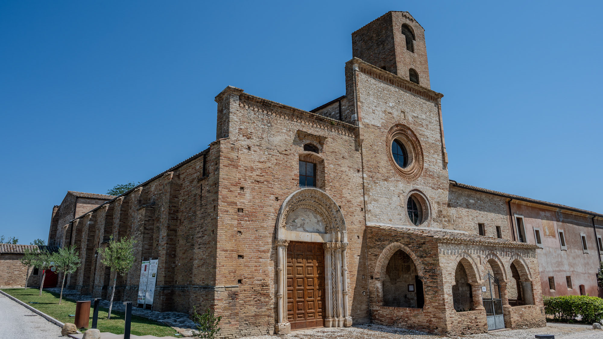
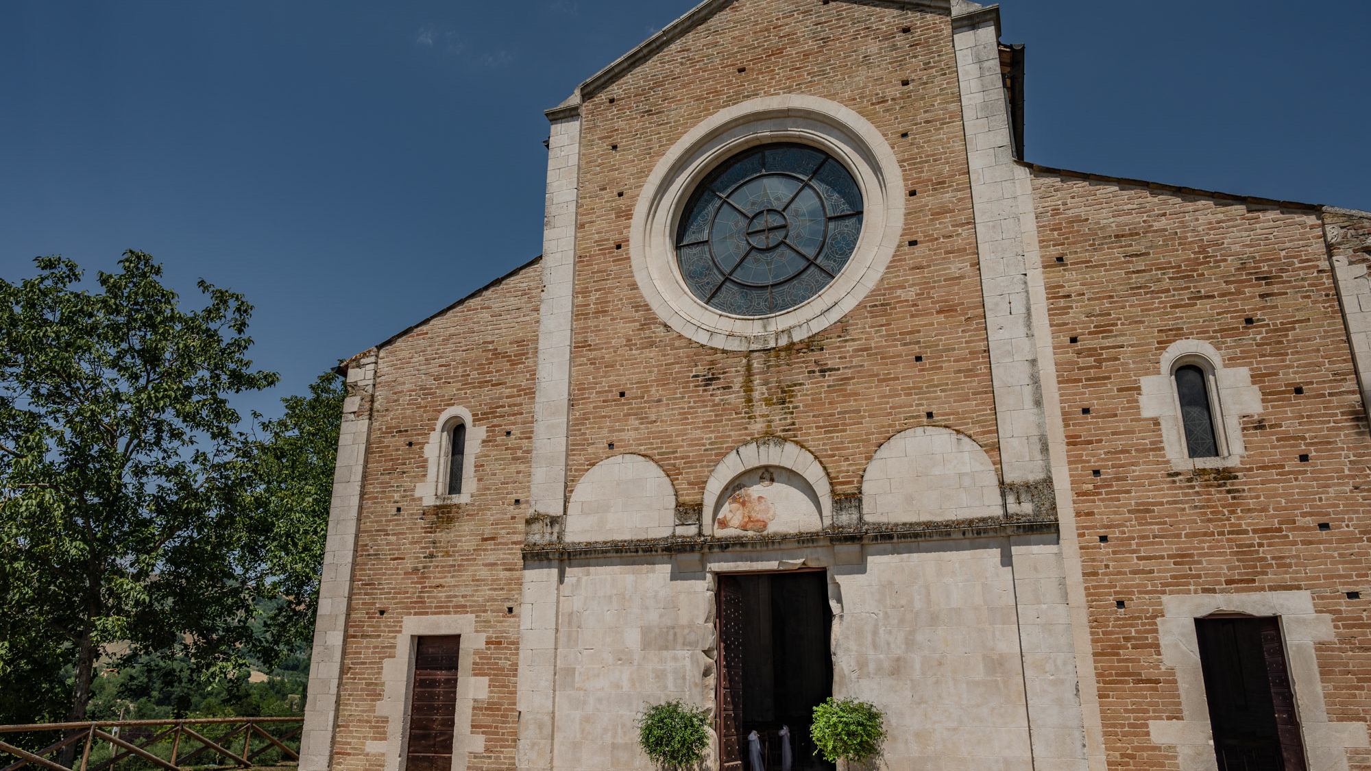
Begun in the 13th century, it was completed in the 15th century. The rose window has the head of the Baptist in the center. The three internal naves are divided by octagonal pillars
Back to Top