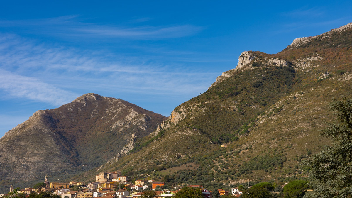
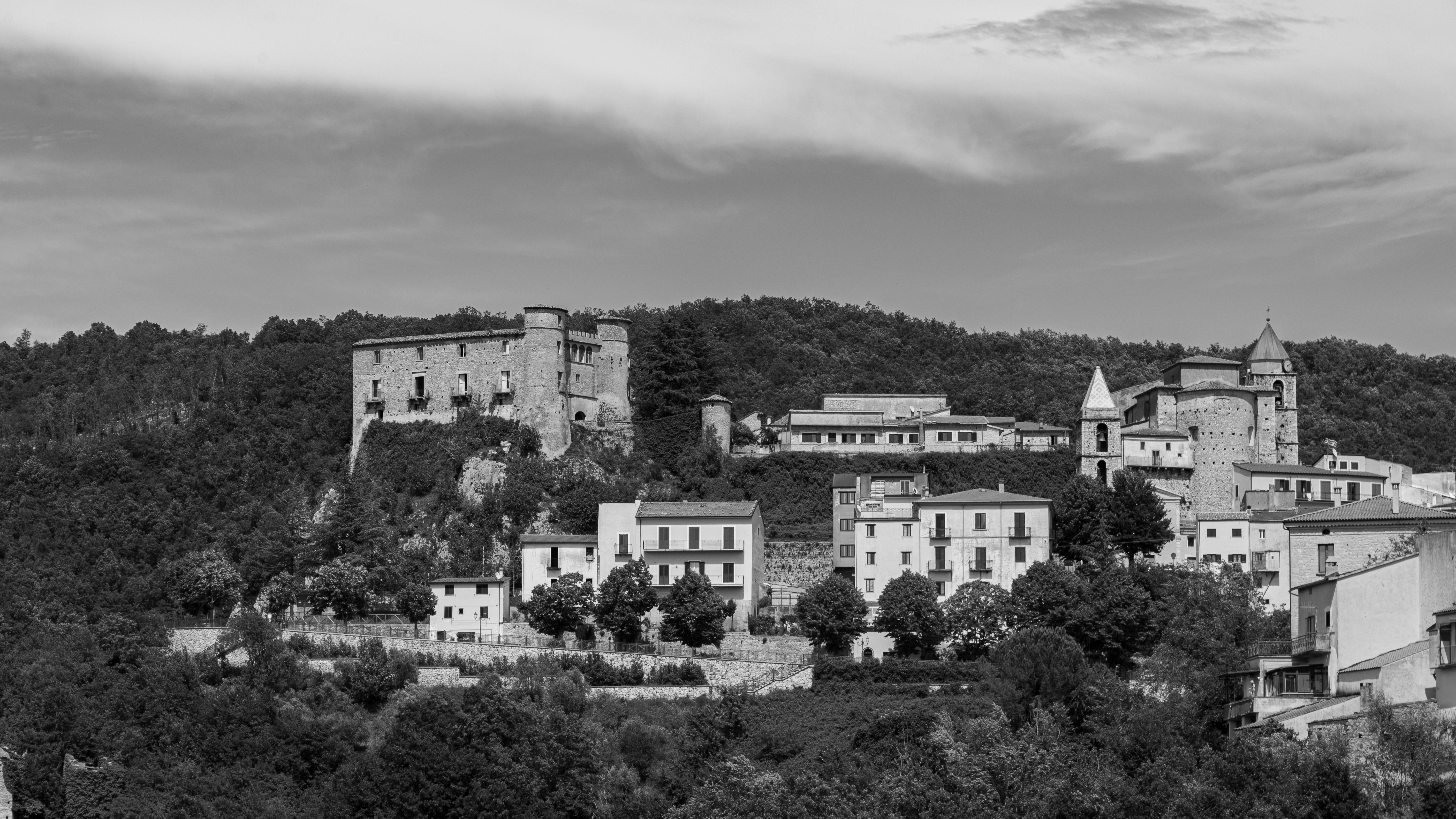
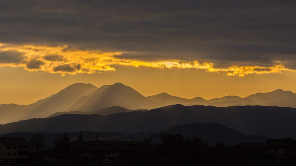
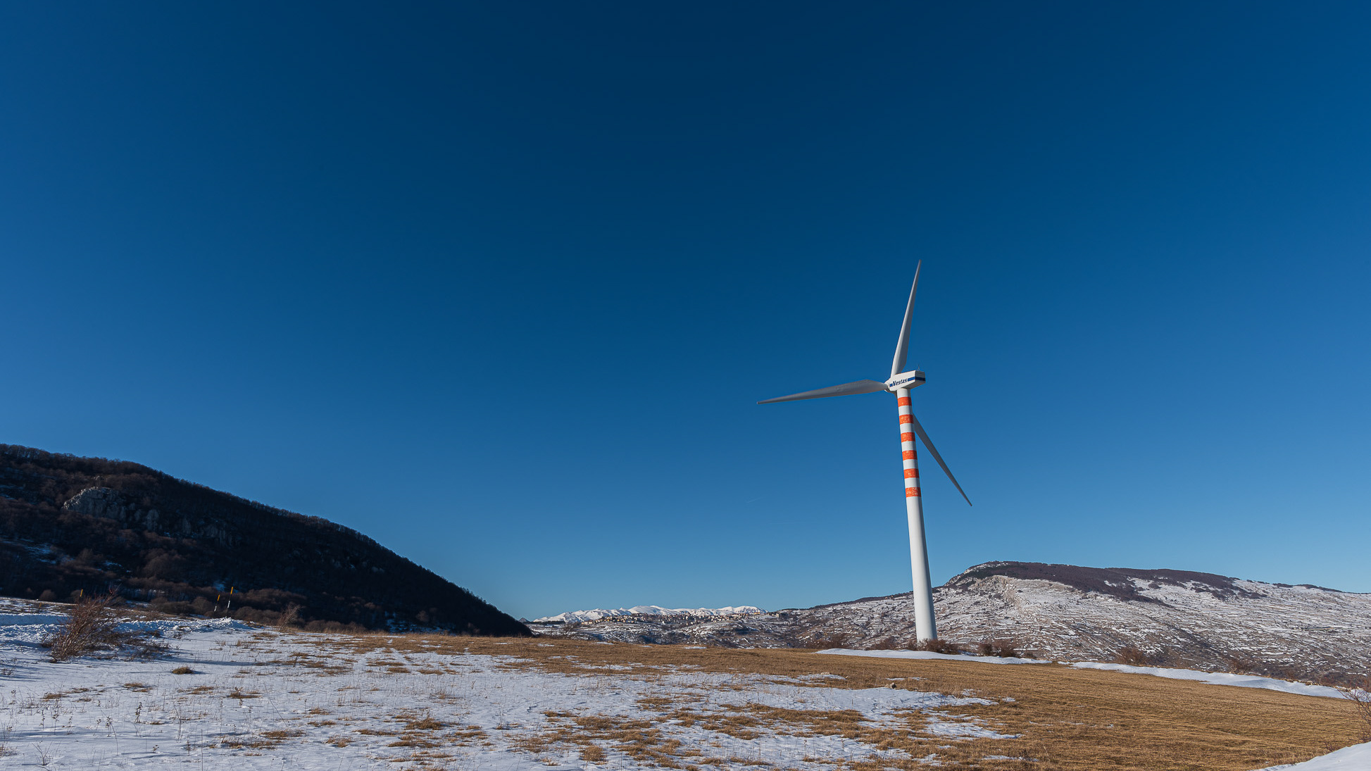
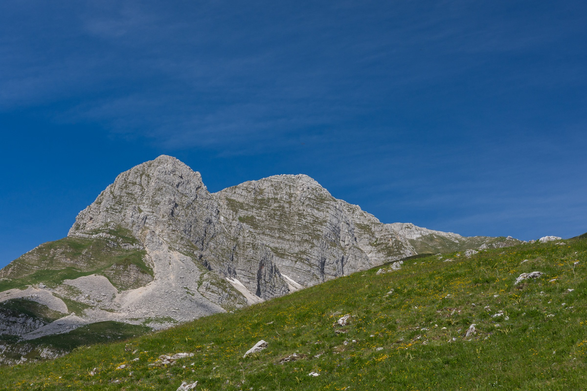
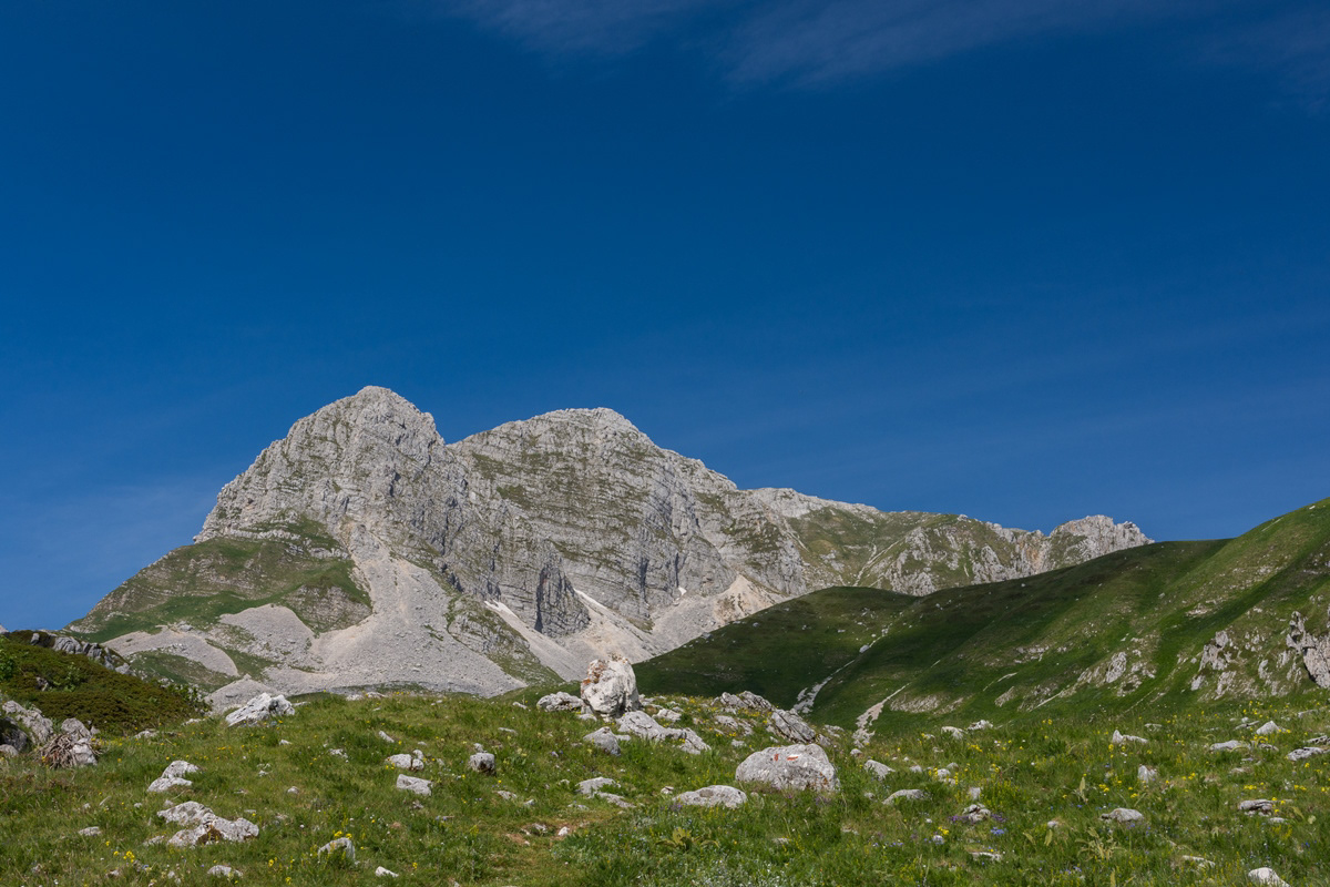
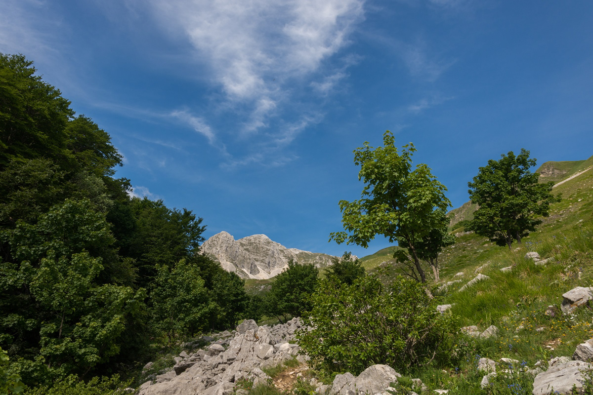
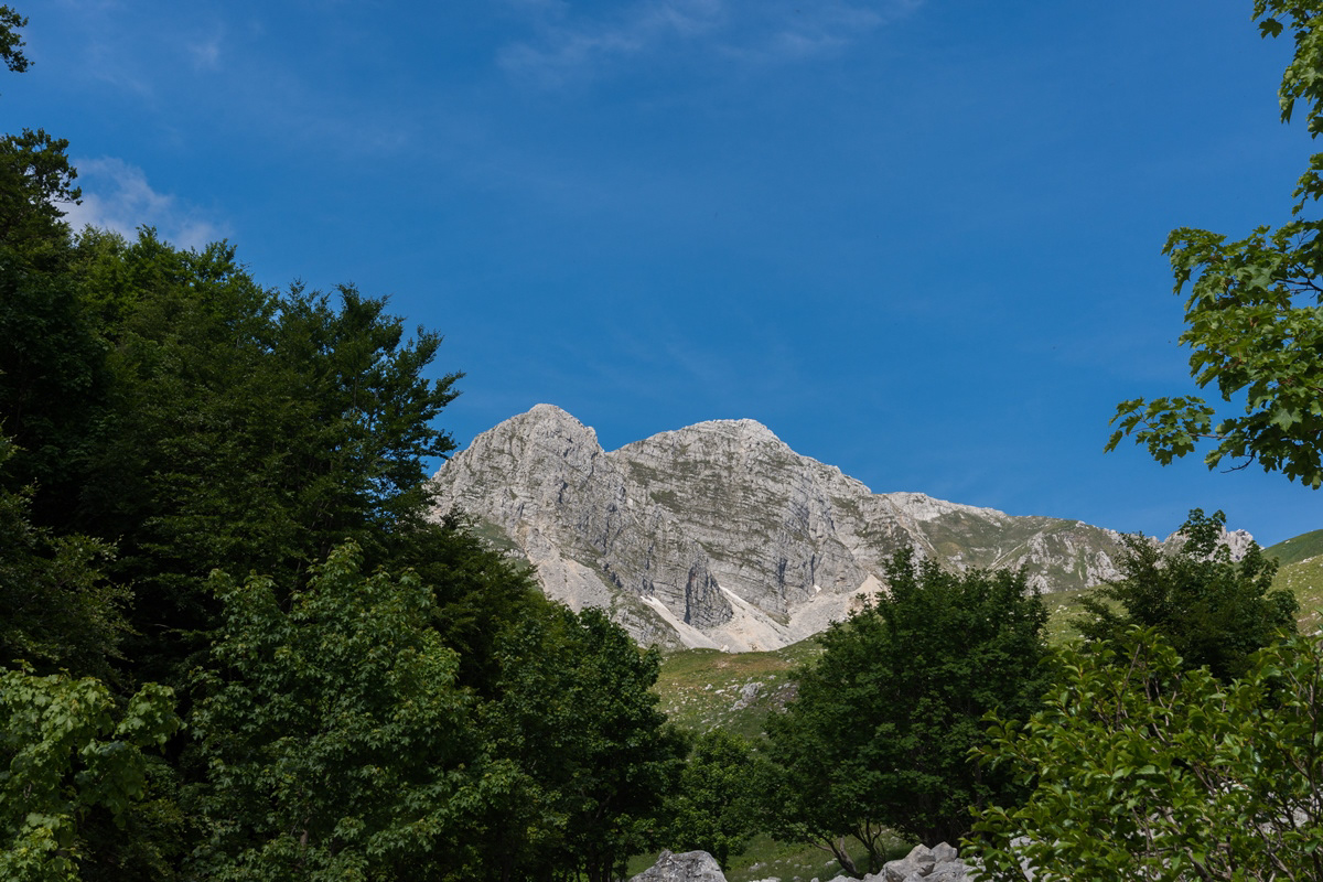
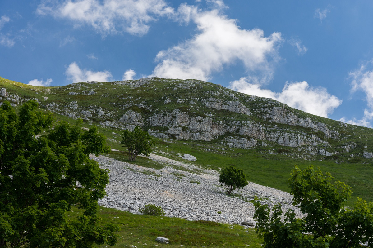
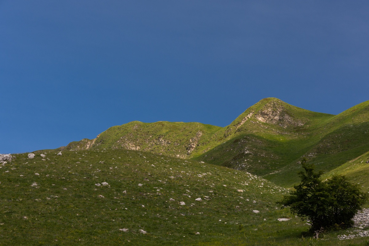
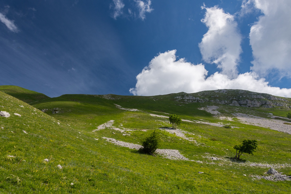
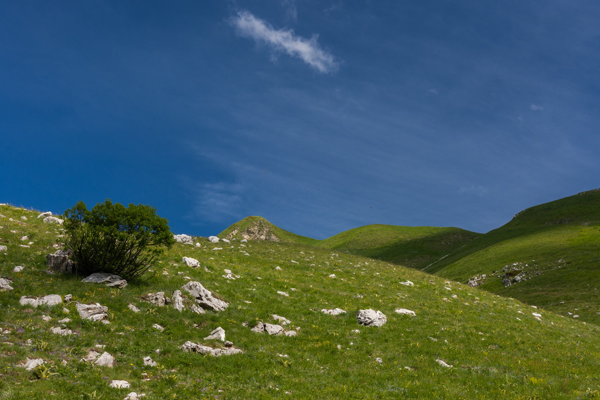
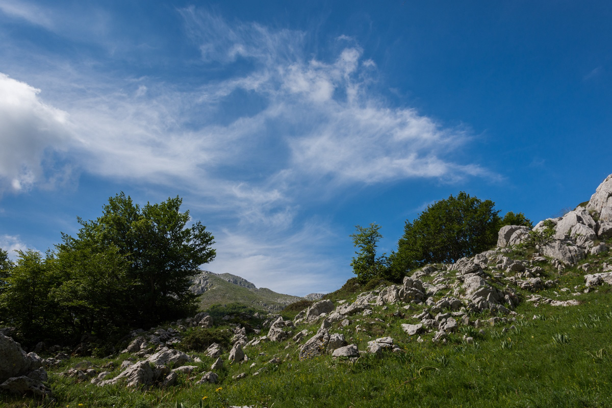
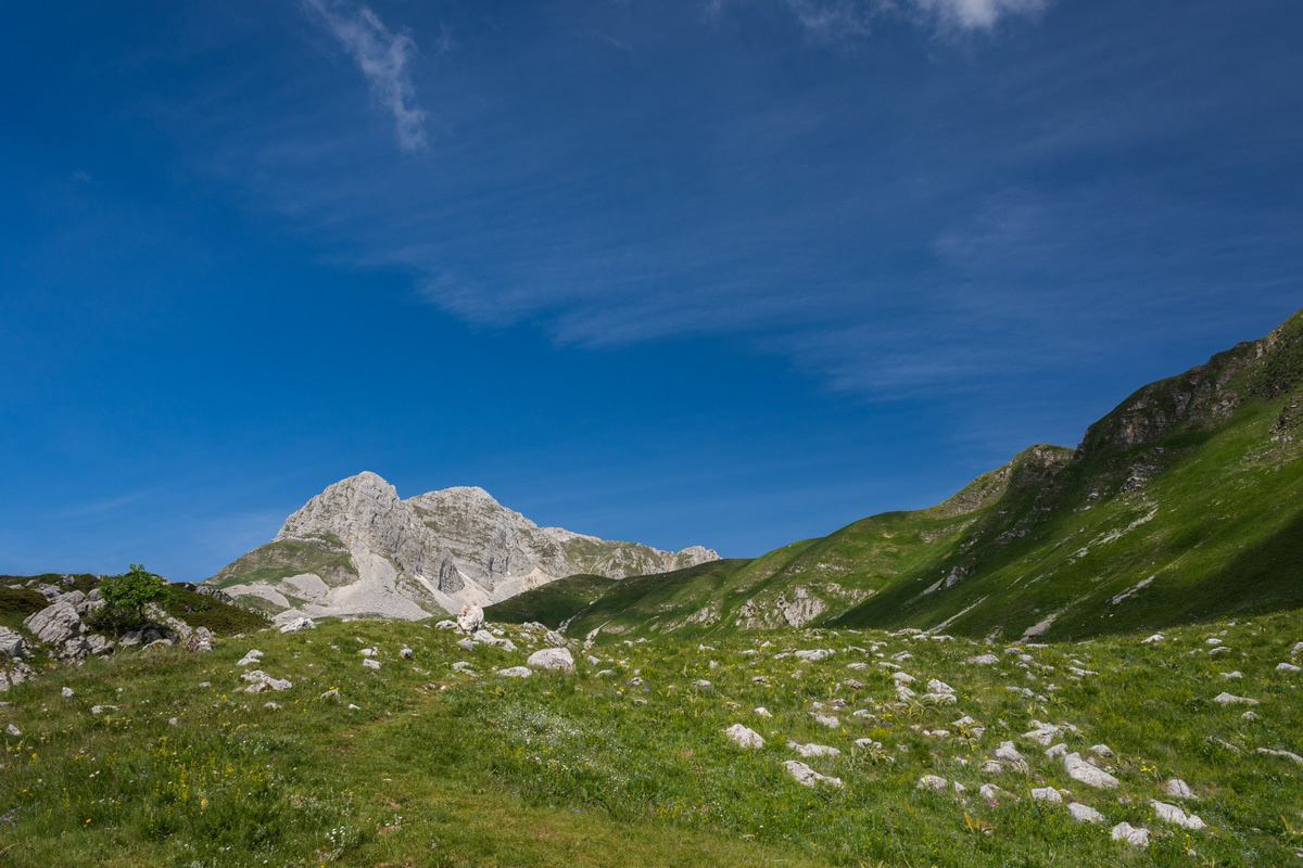
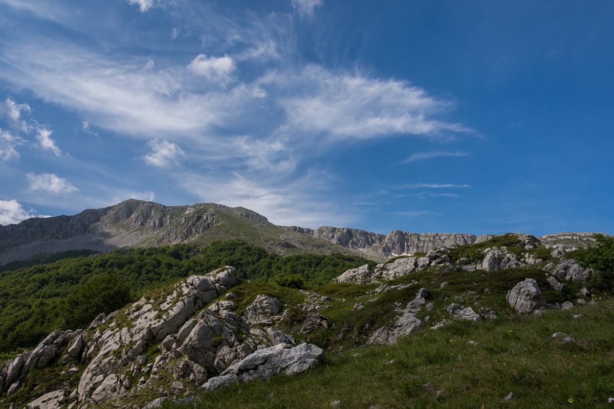
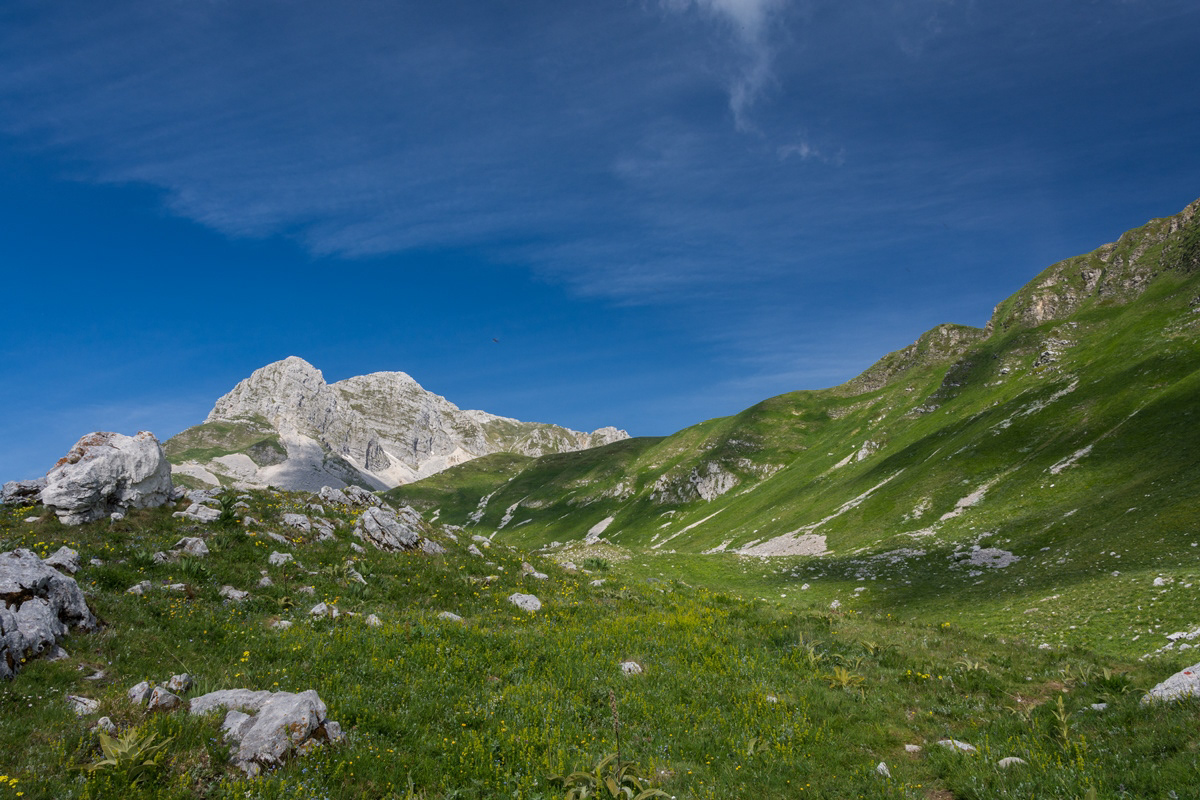
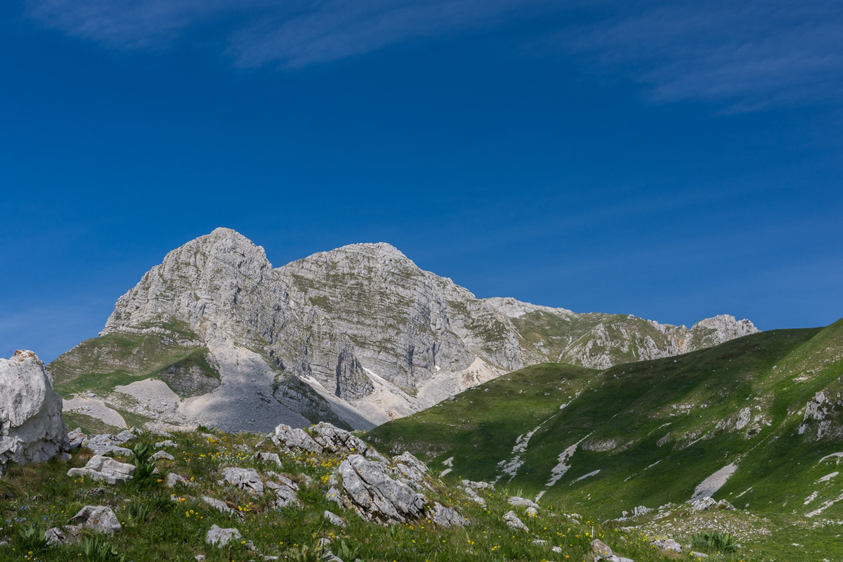
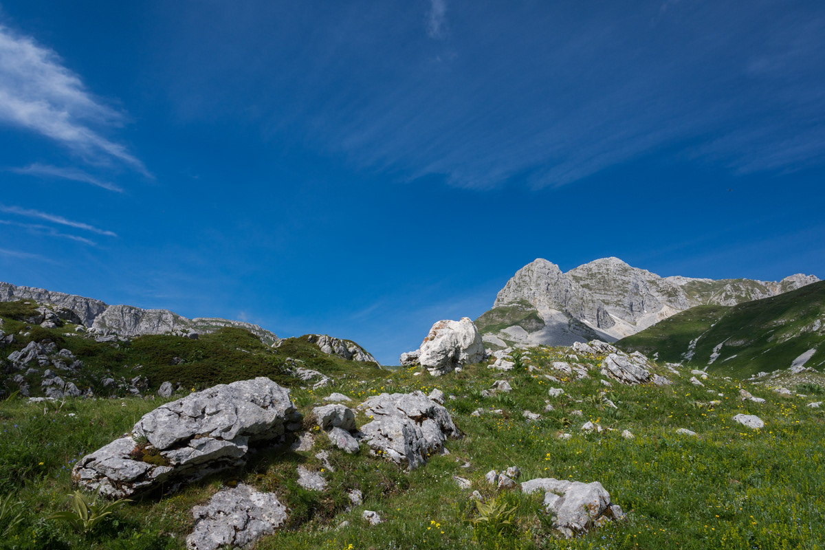
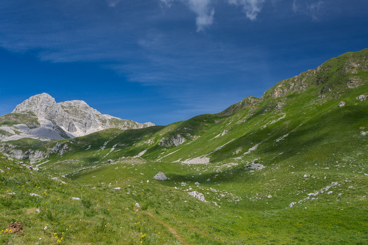
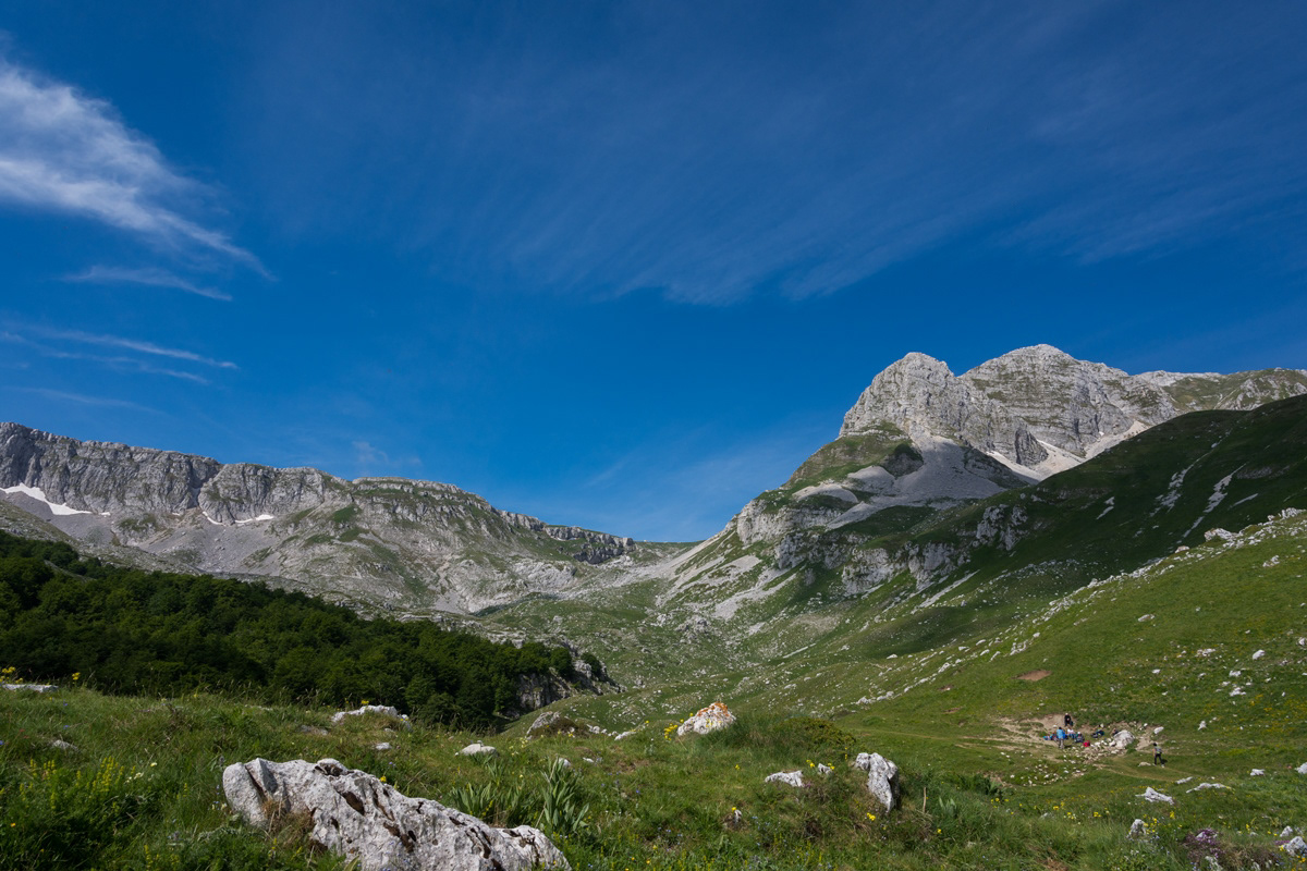
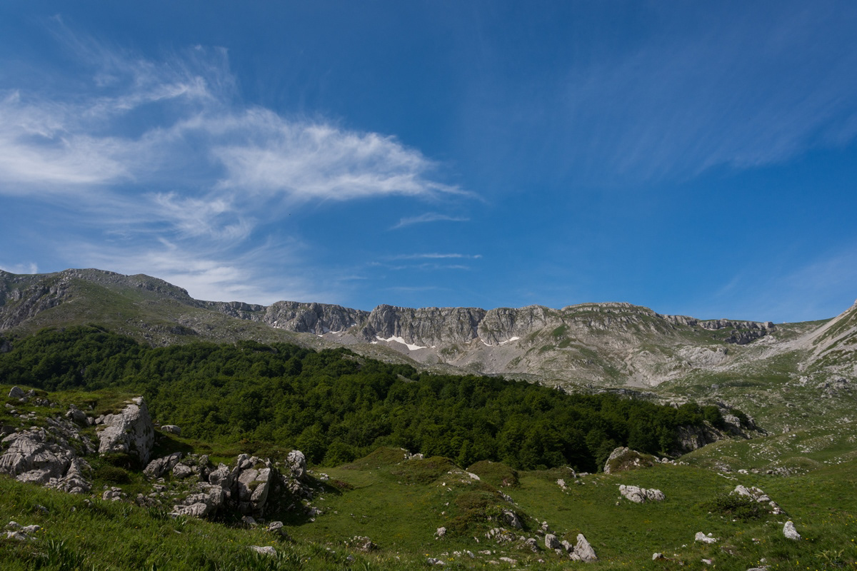
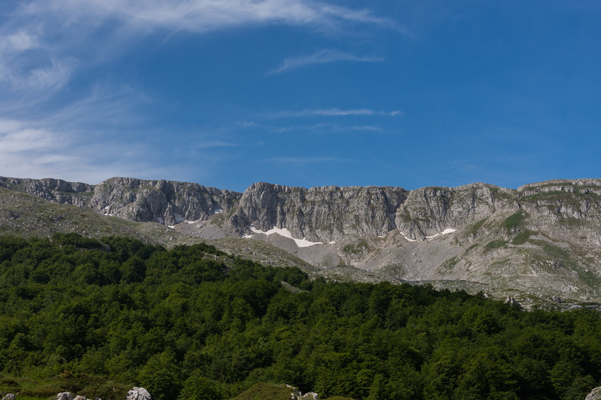
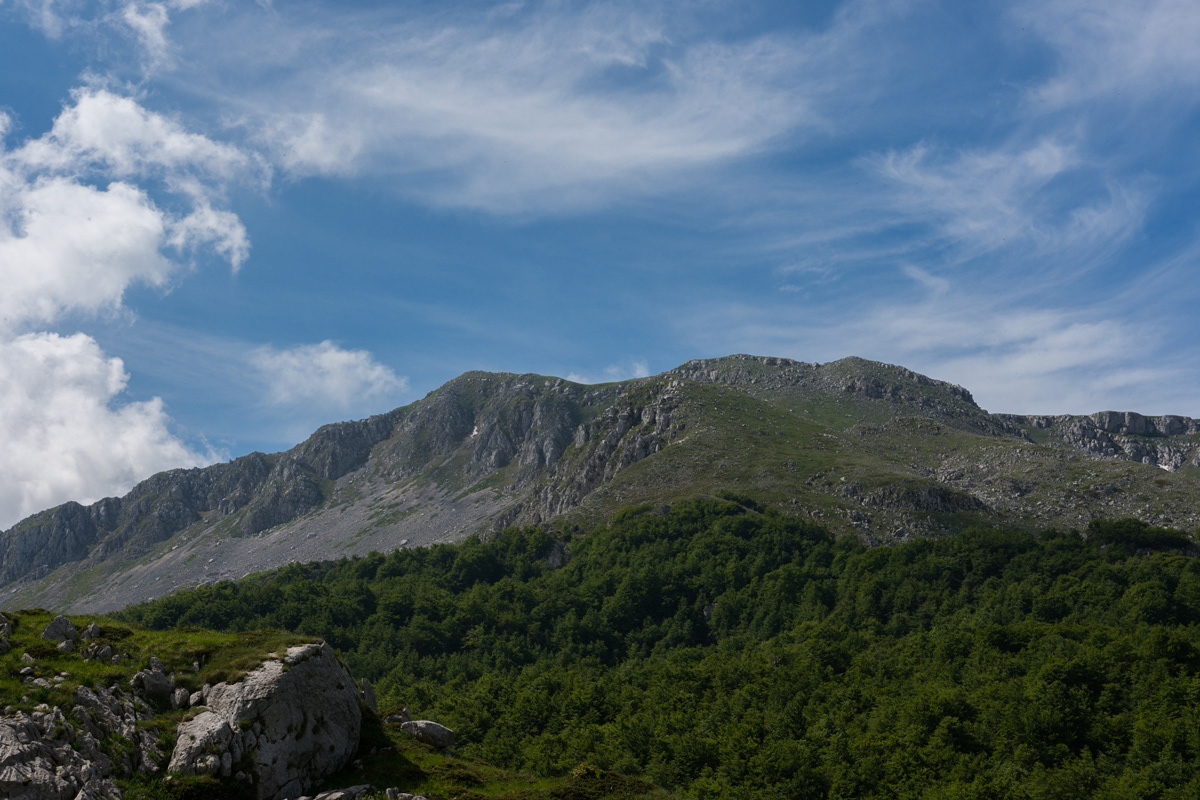
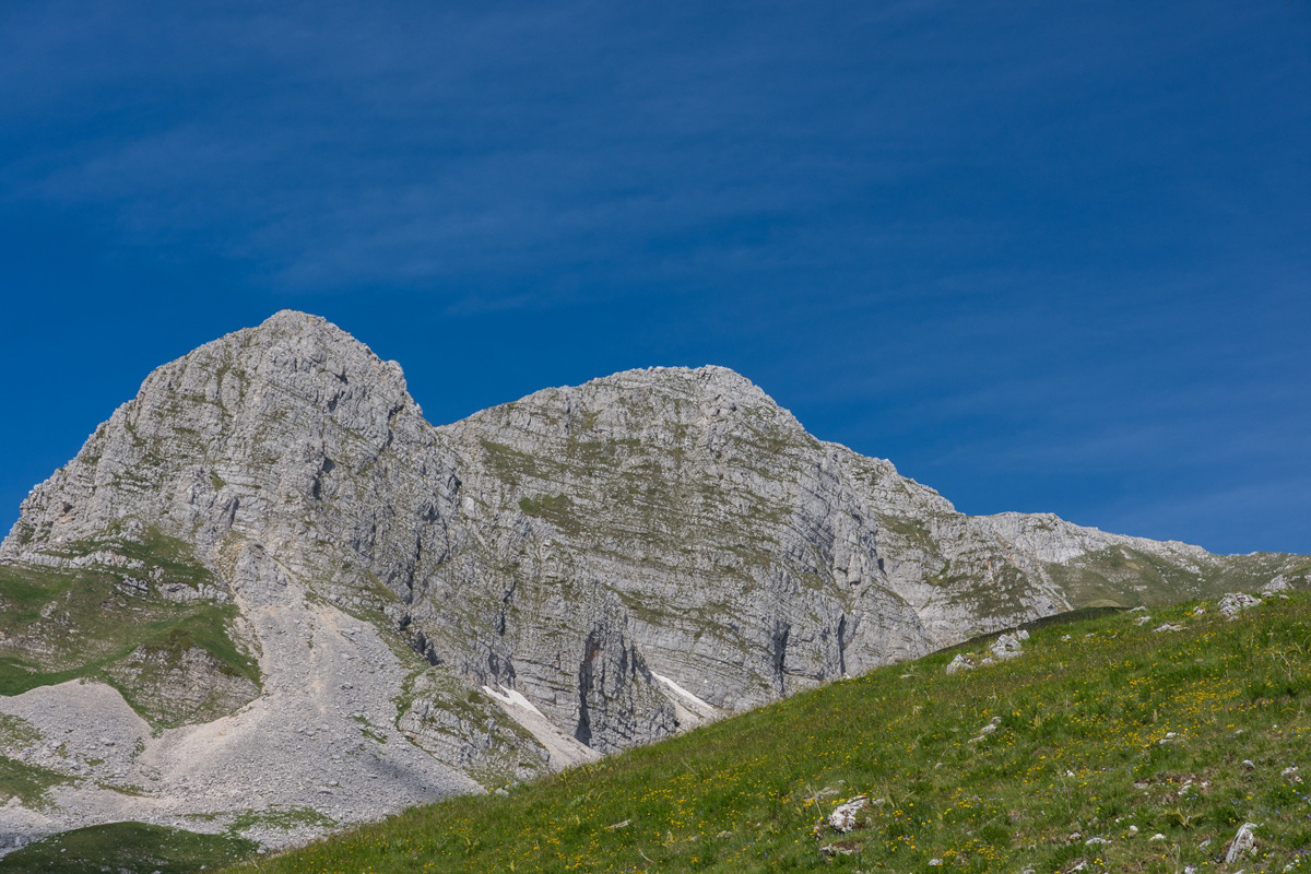
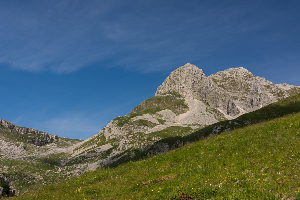
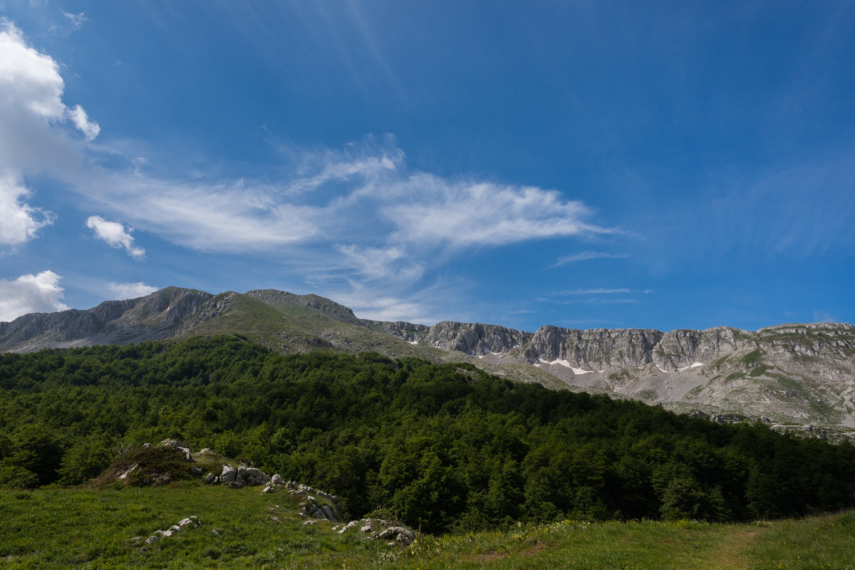
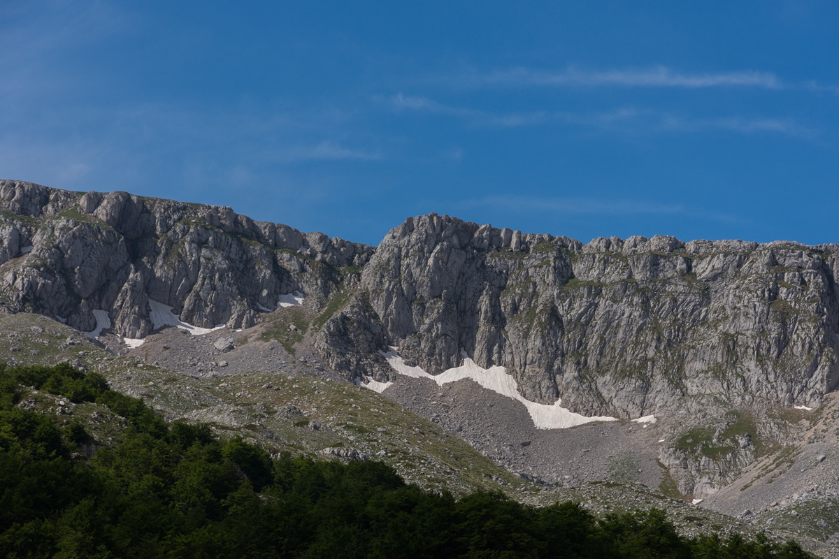
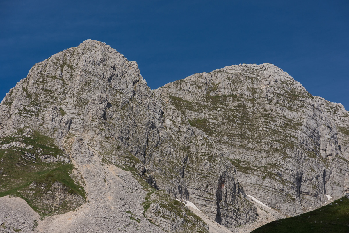
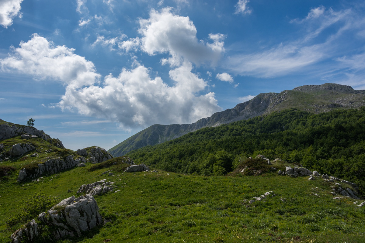
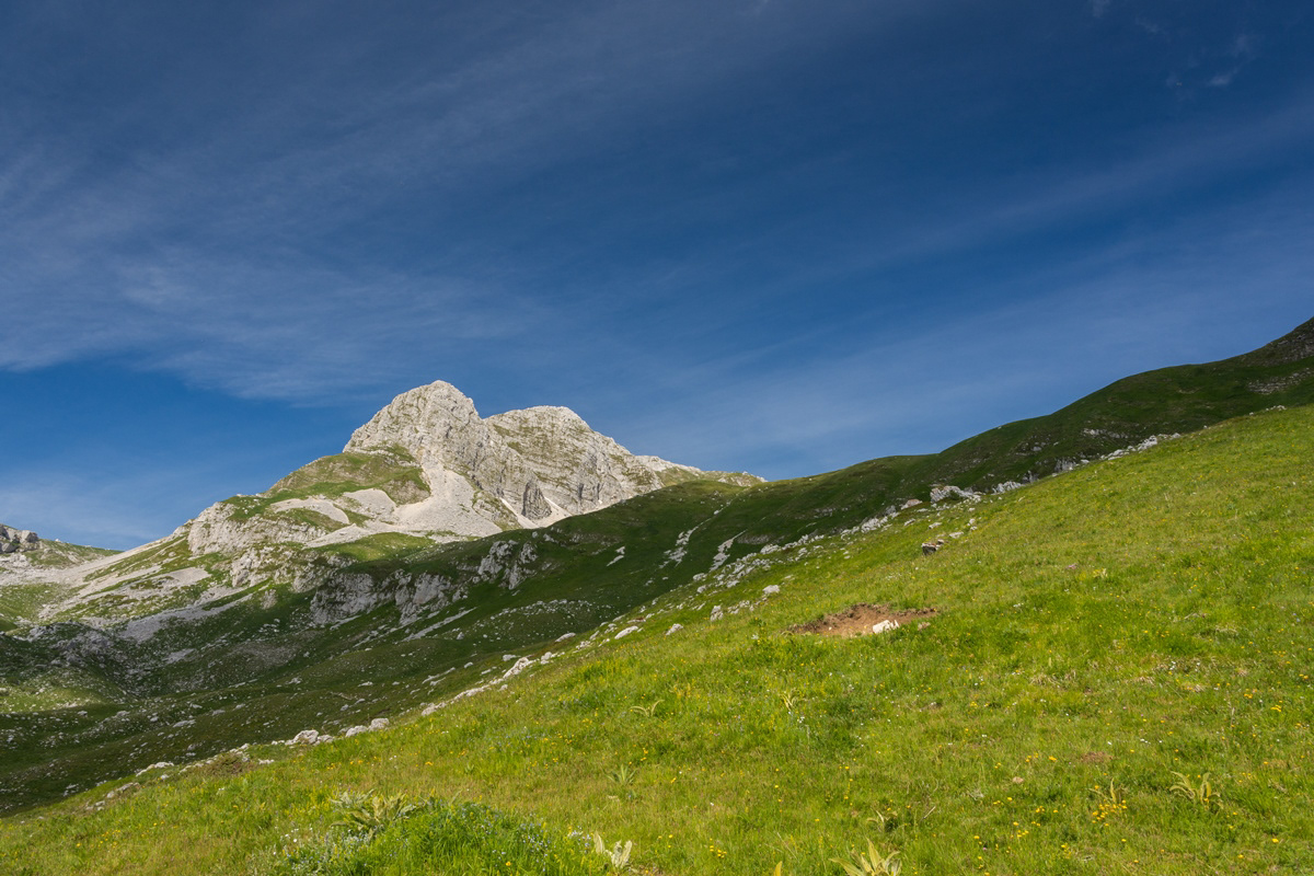
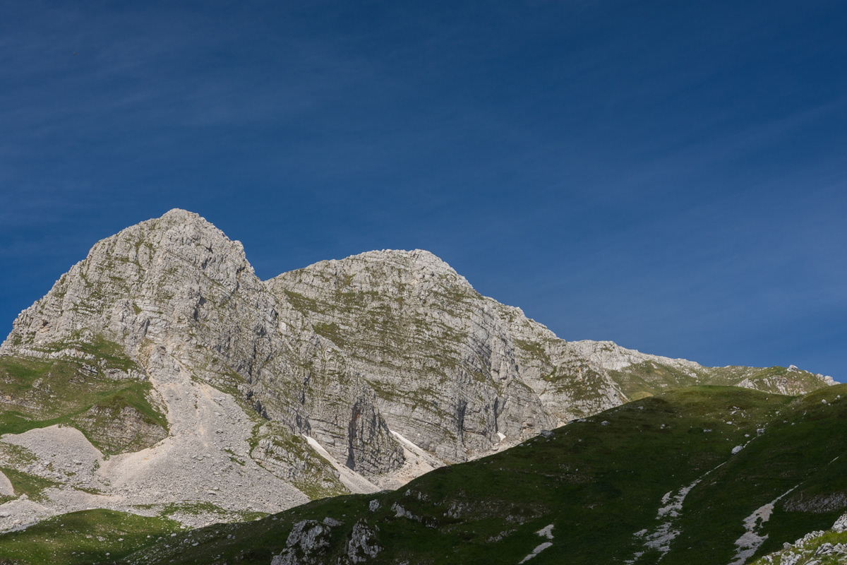
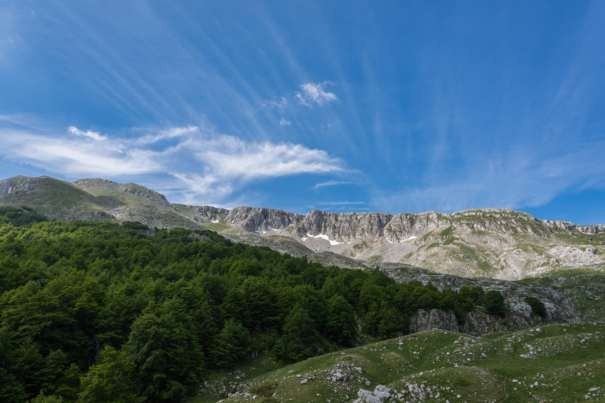
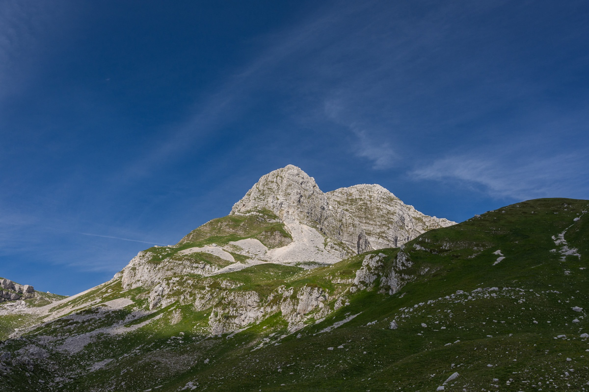
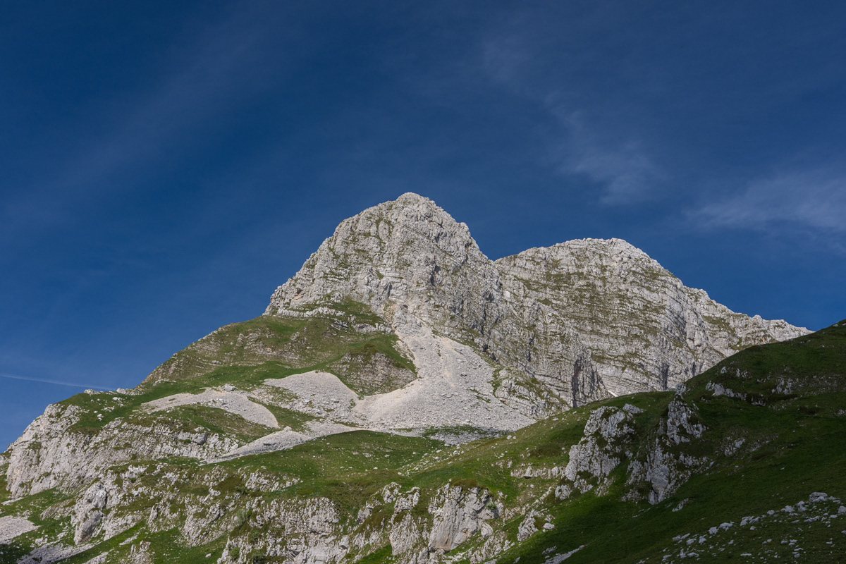
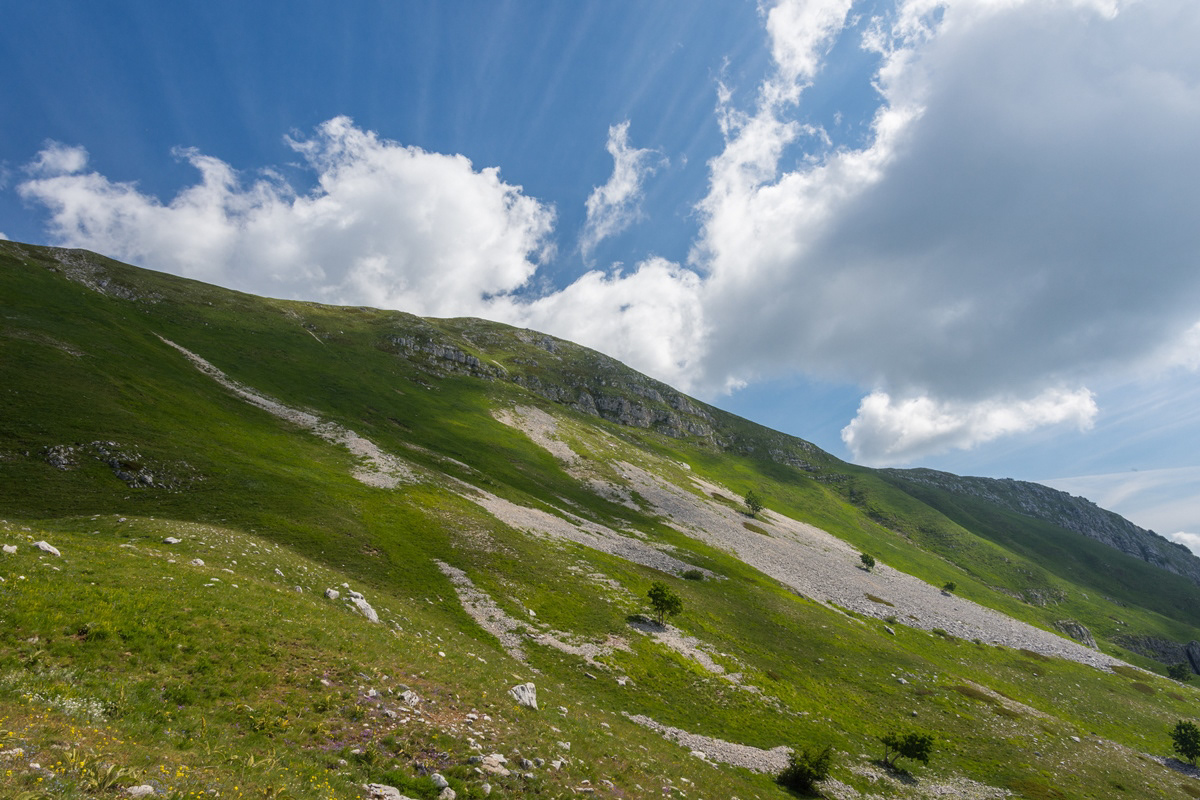
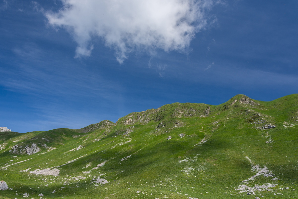
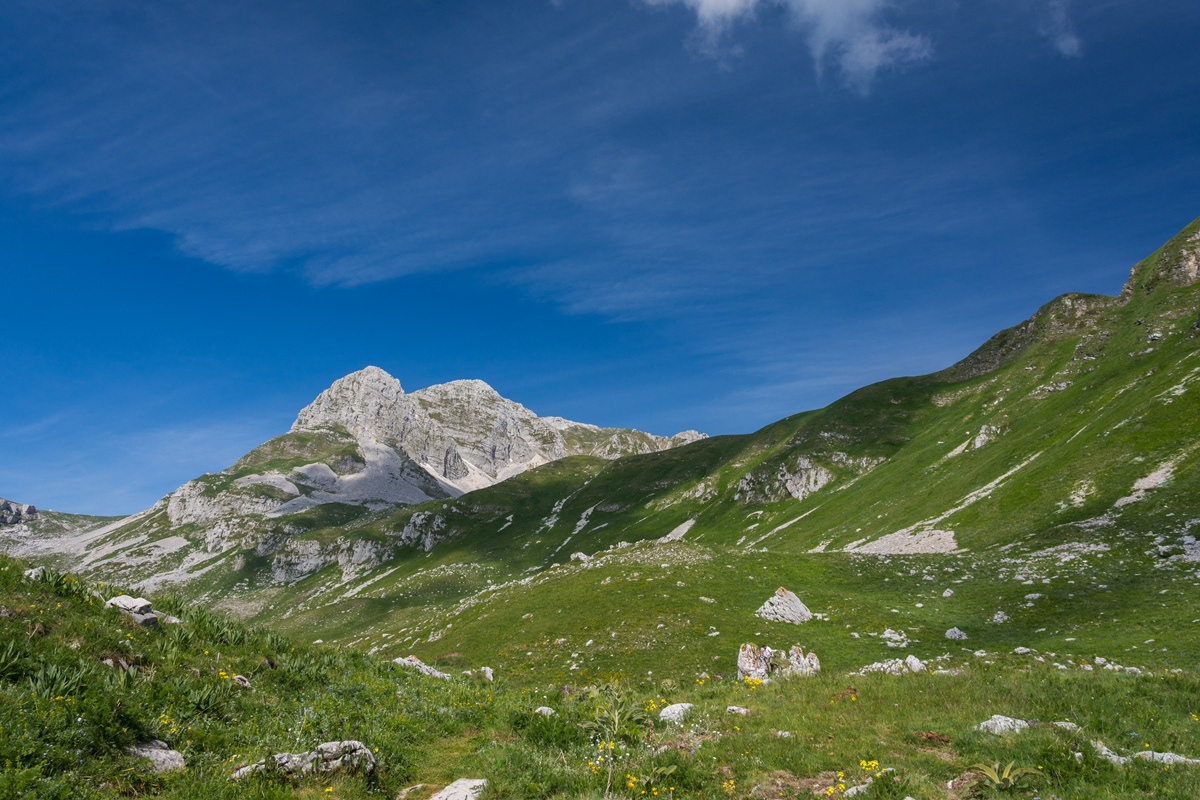
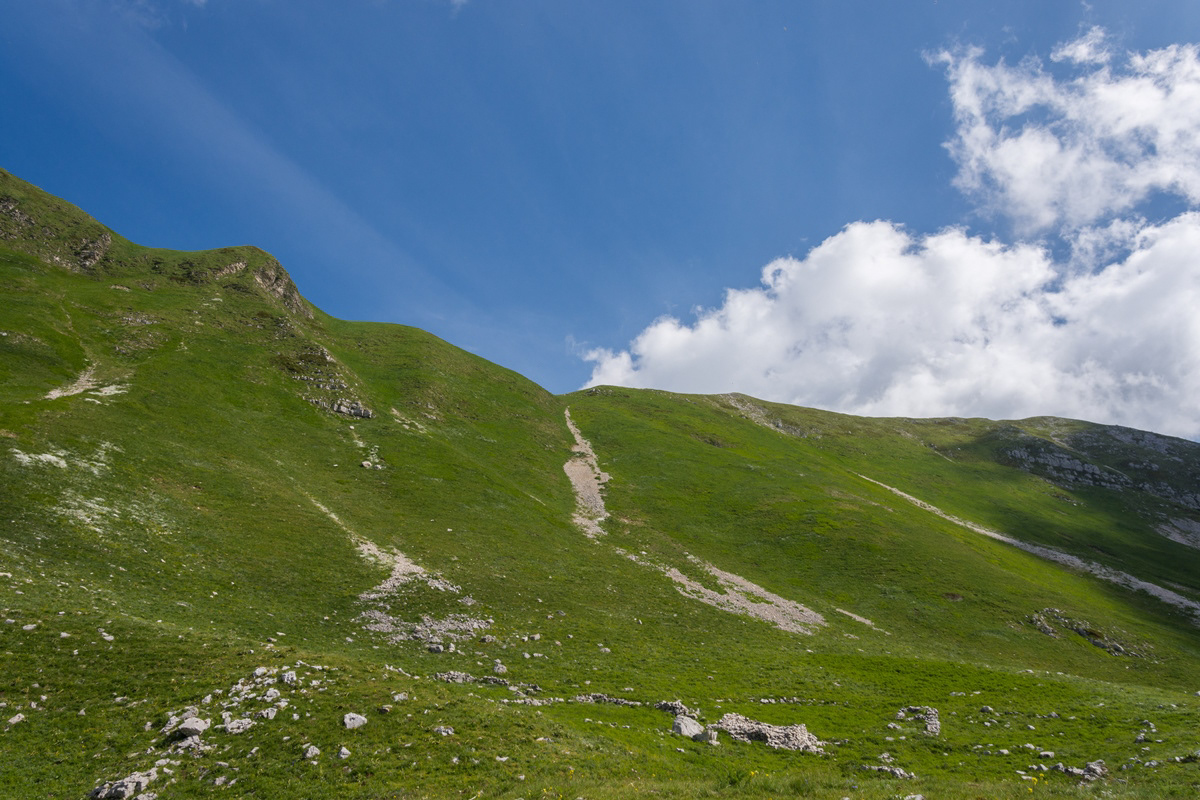
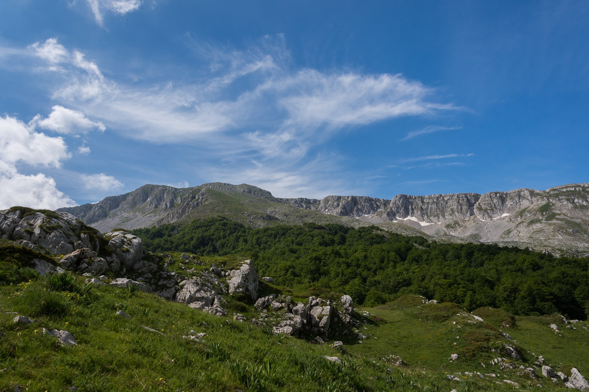
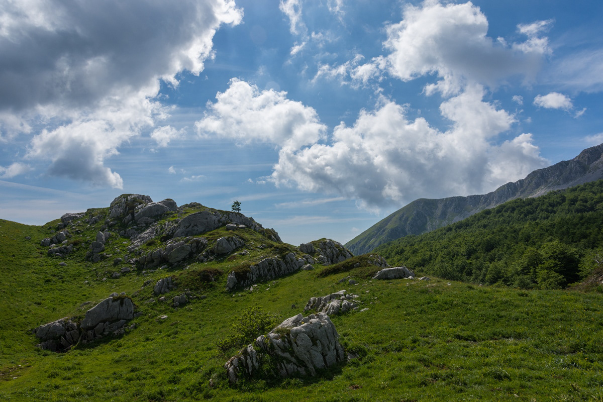
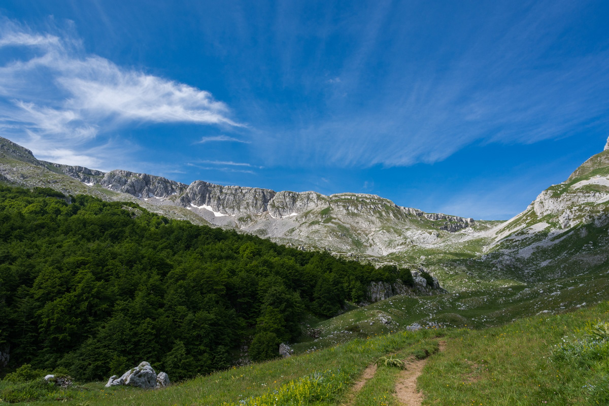
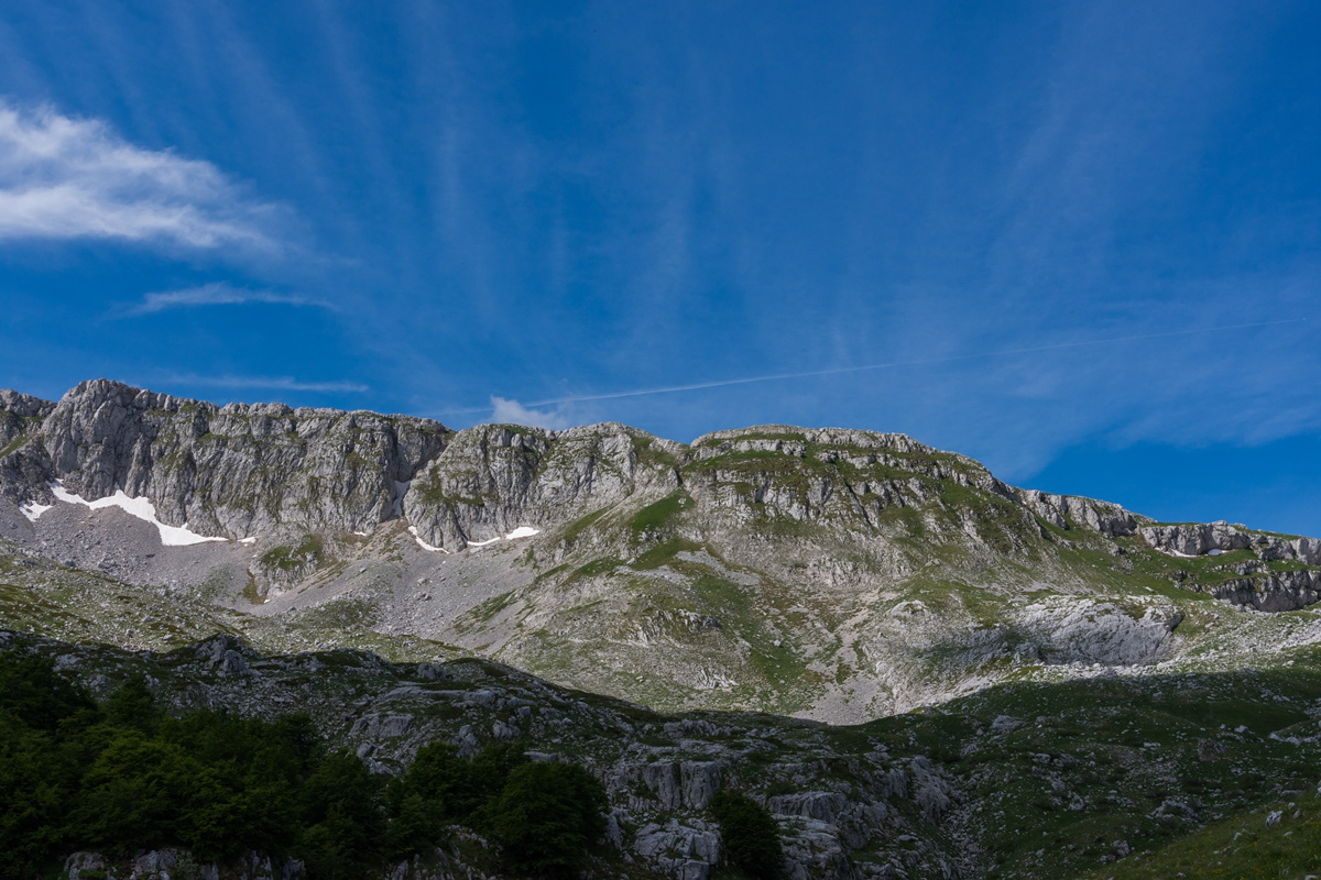
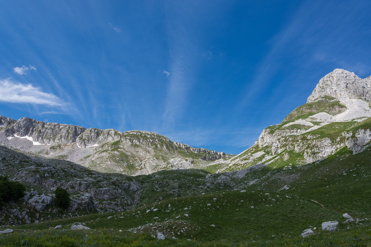
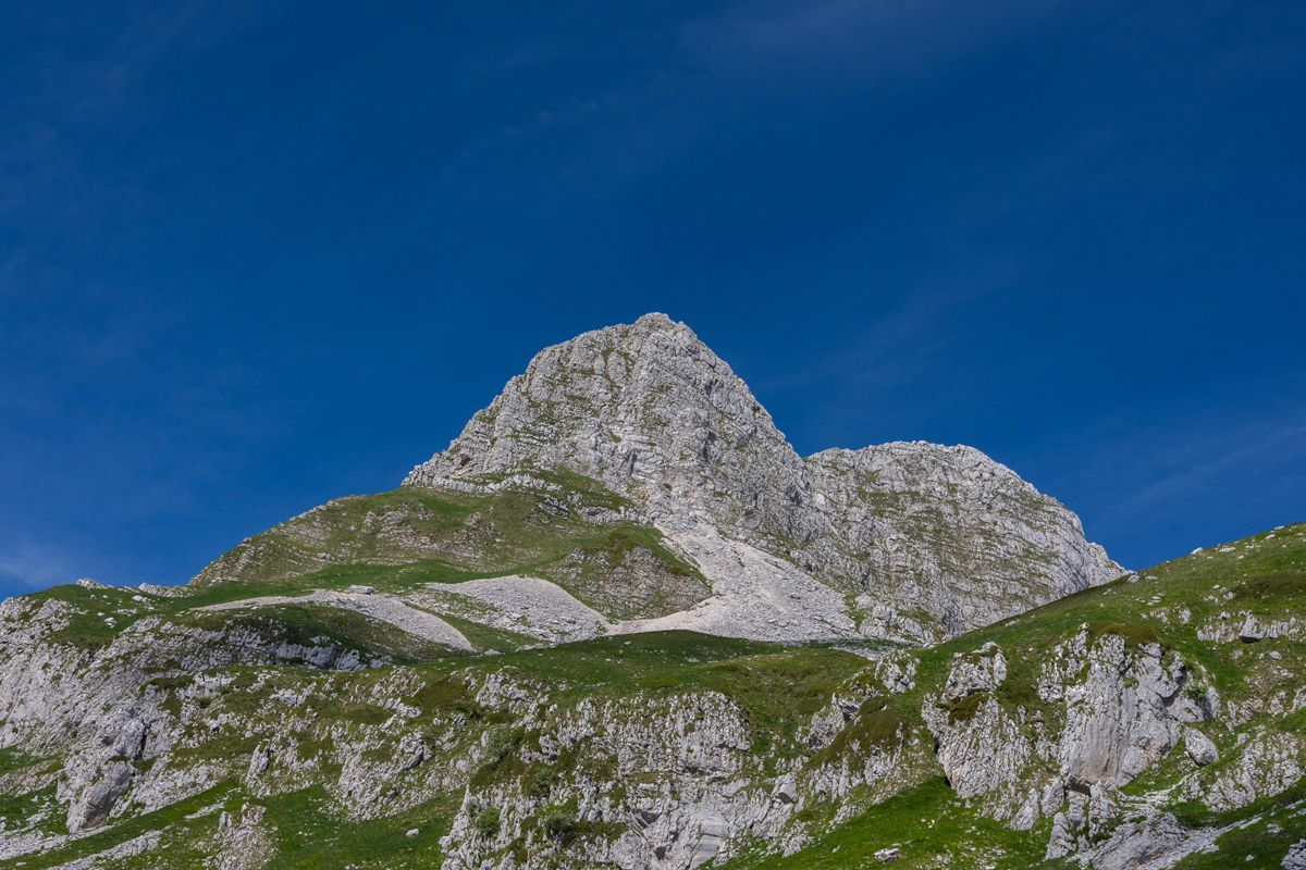
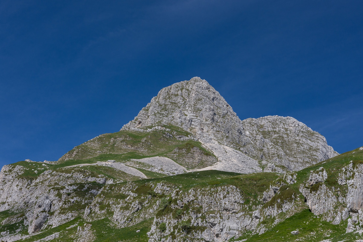
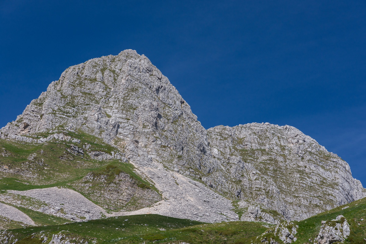
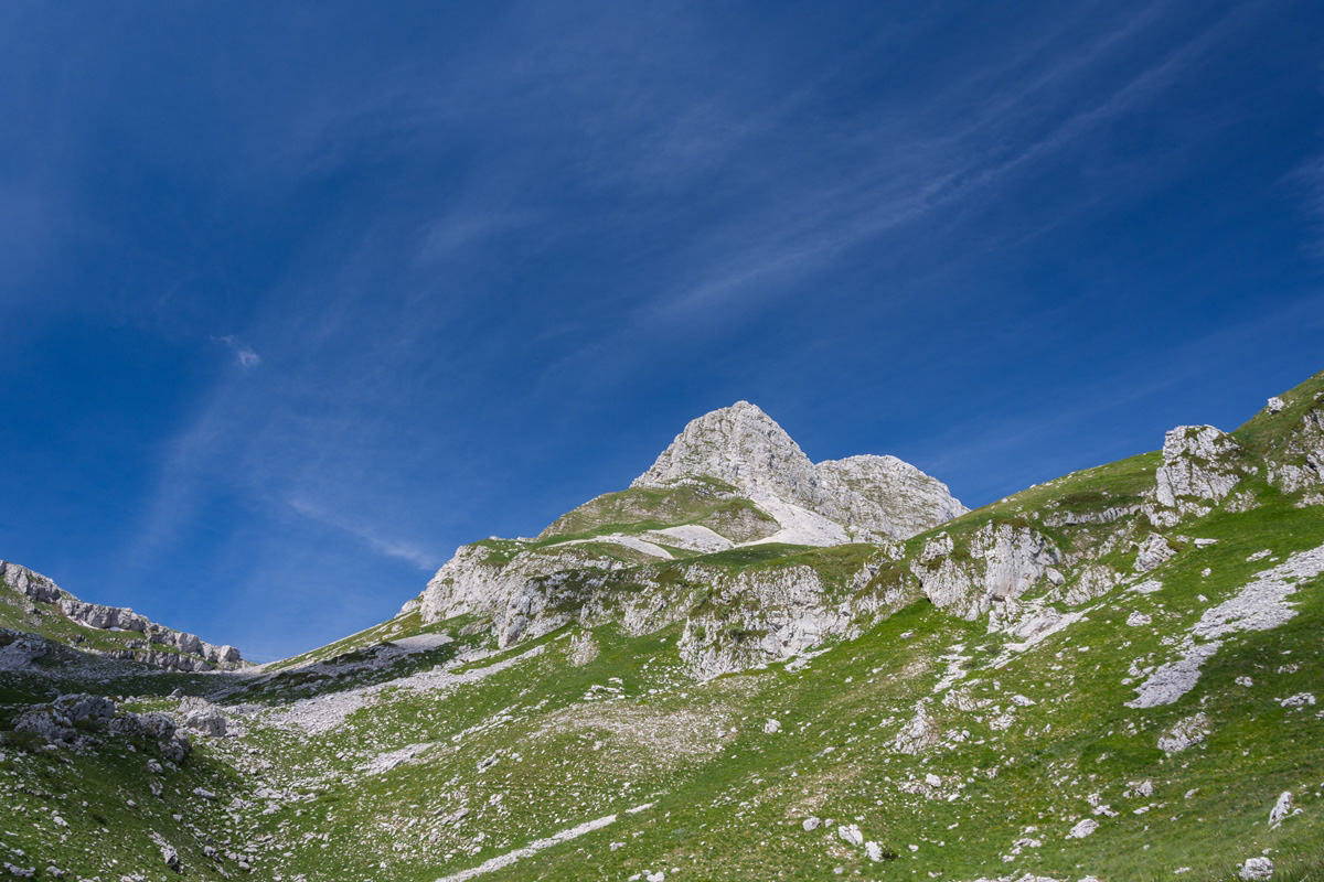
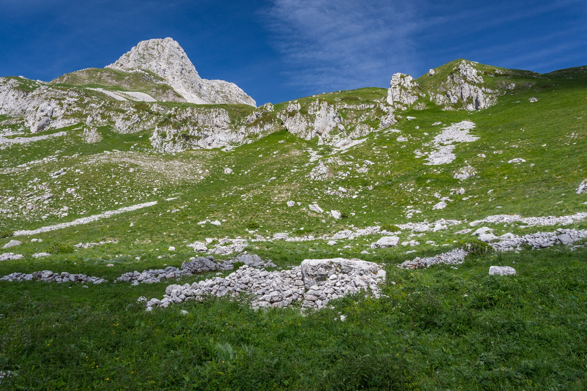
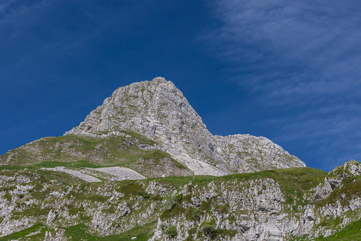
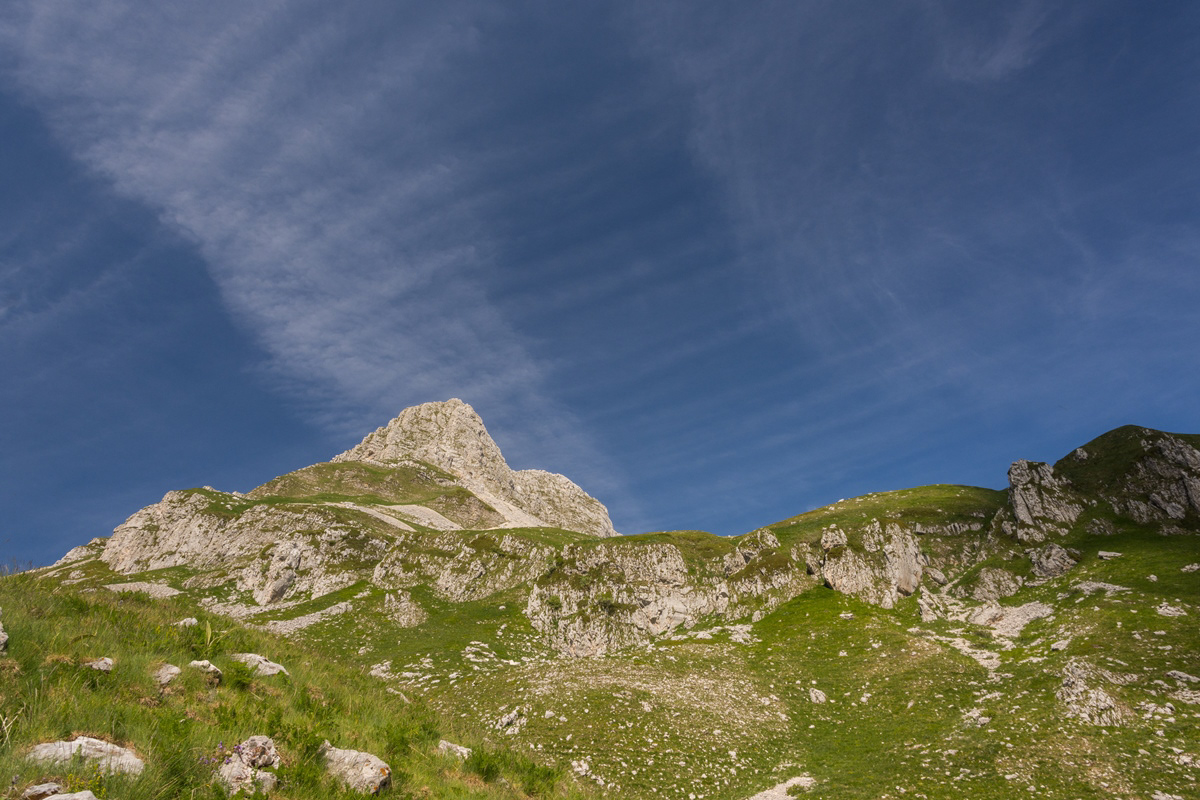
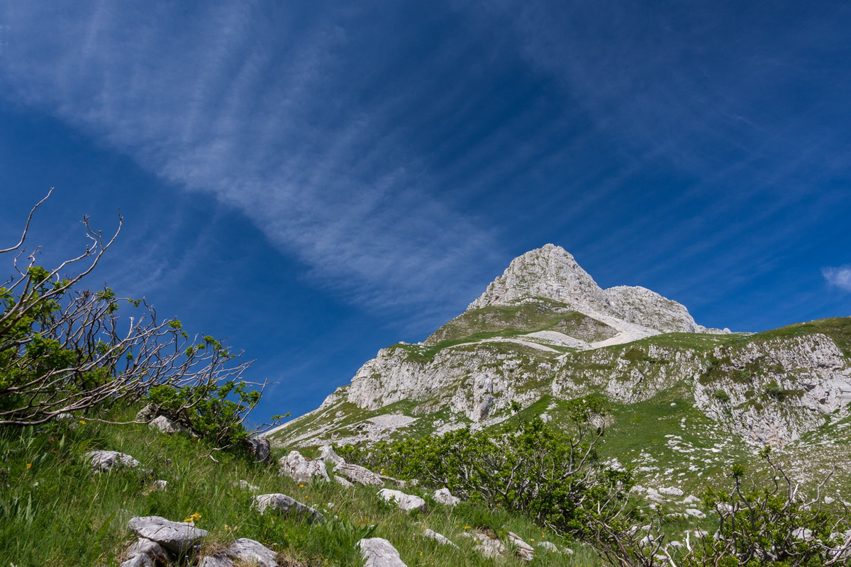
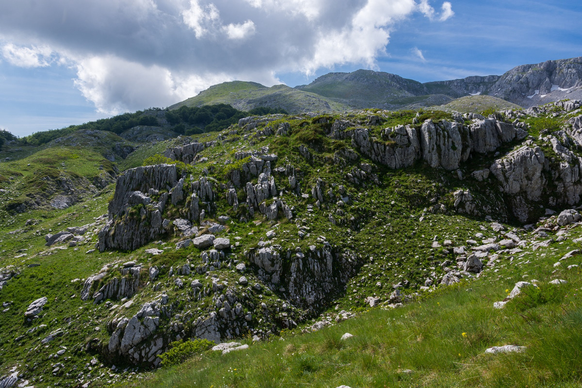
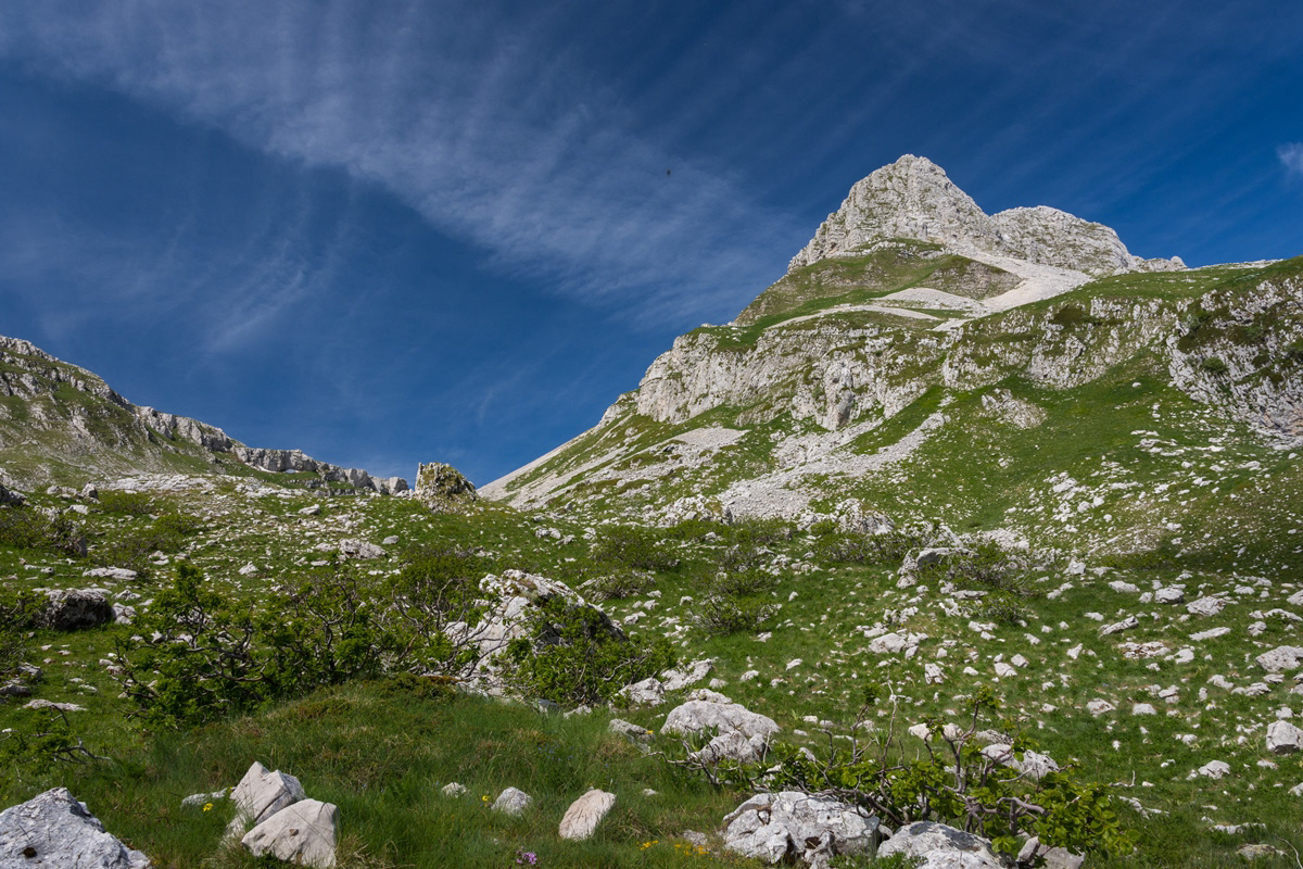
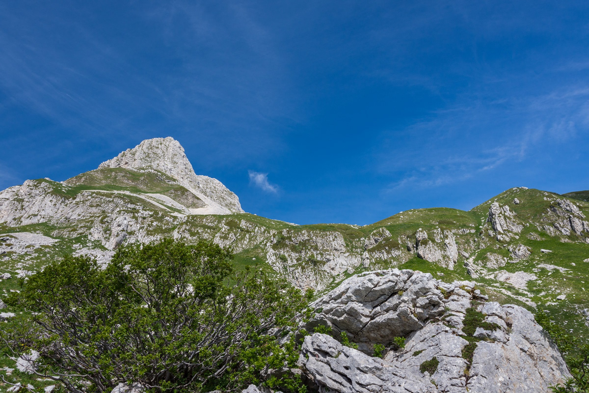
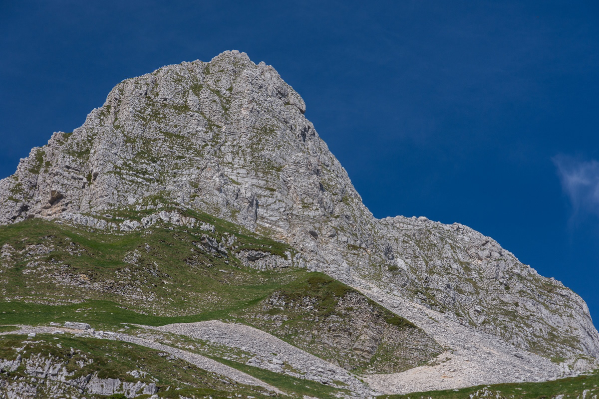
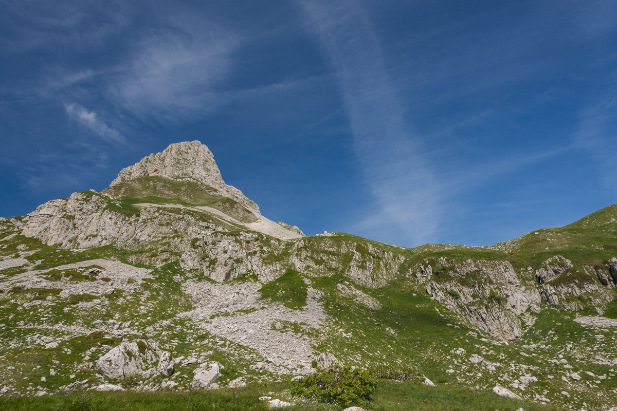
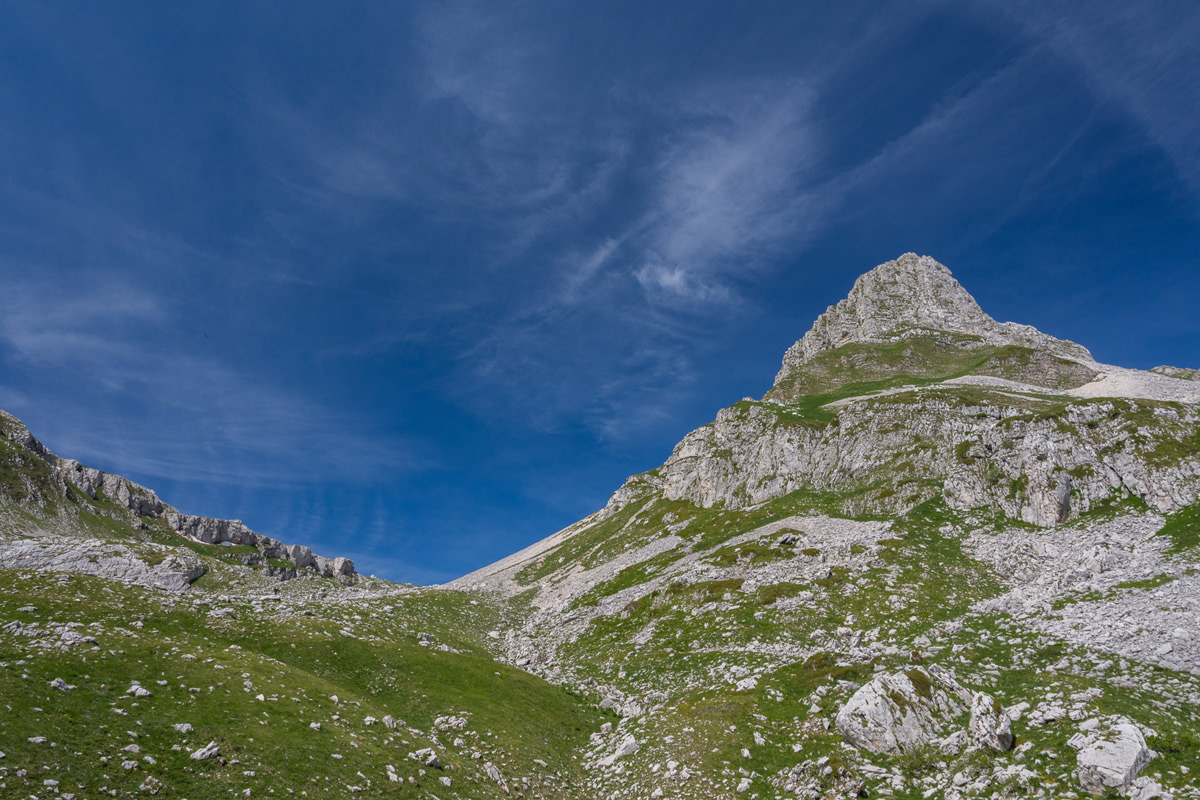
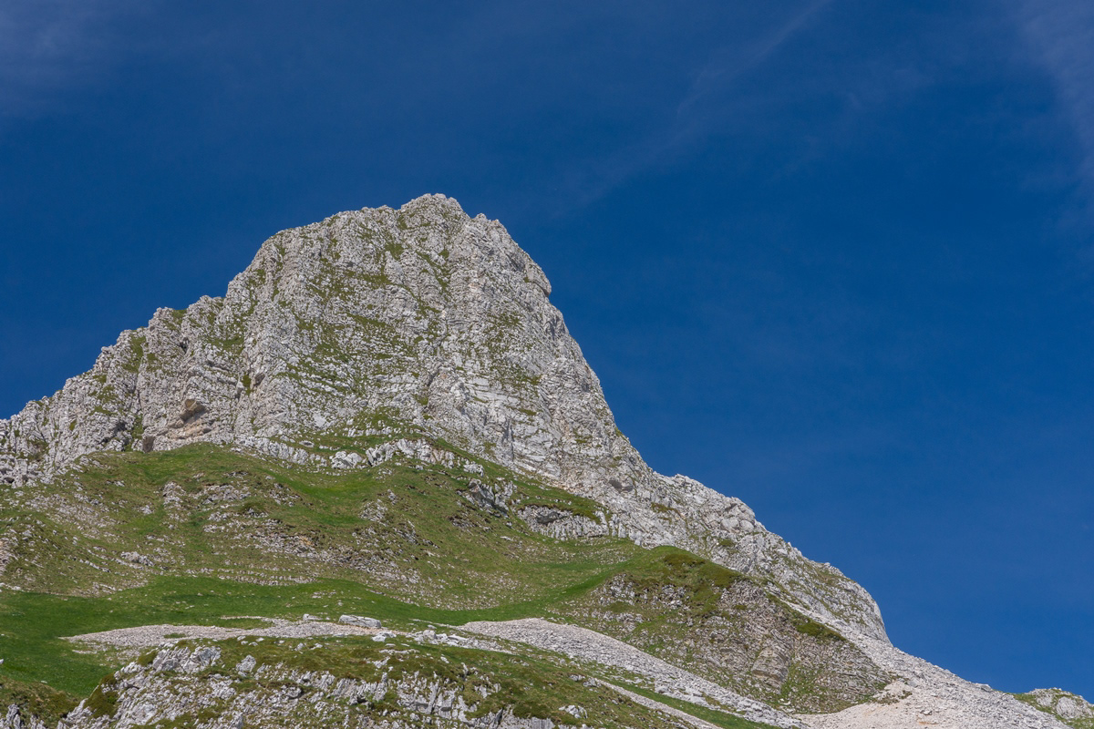
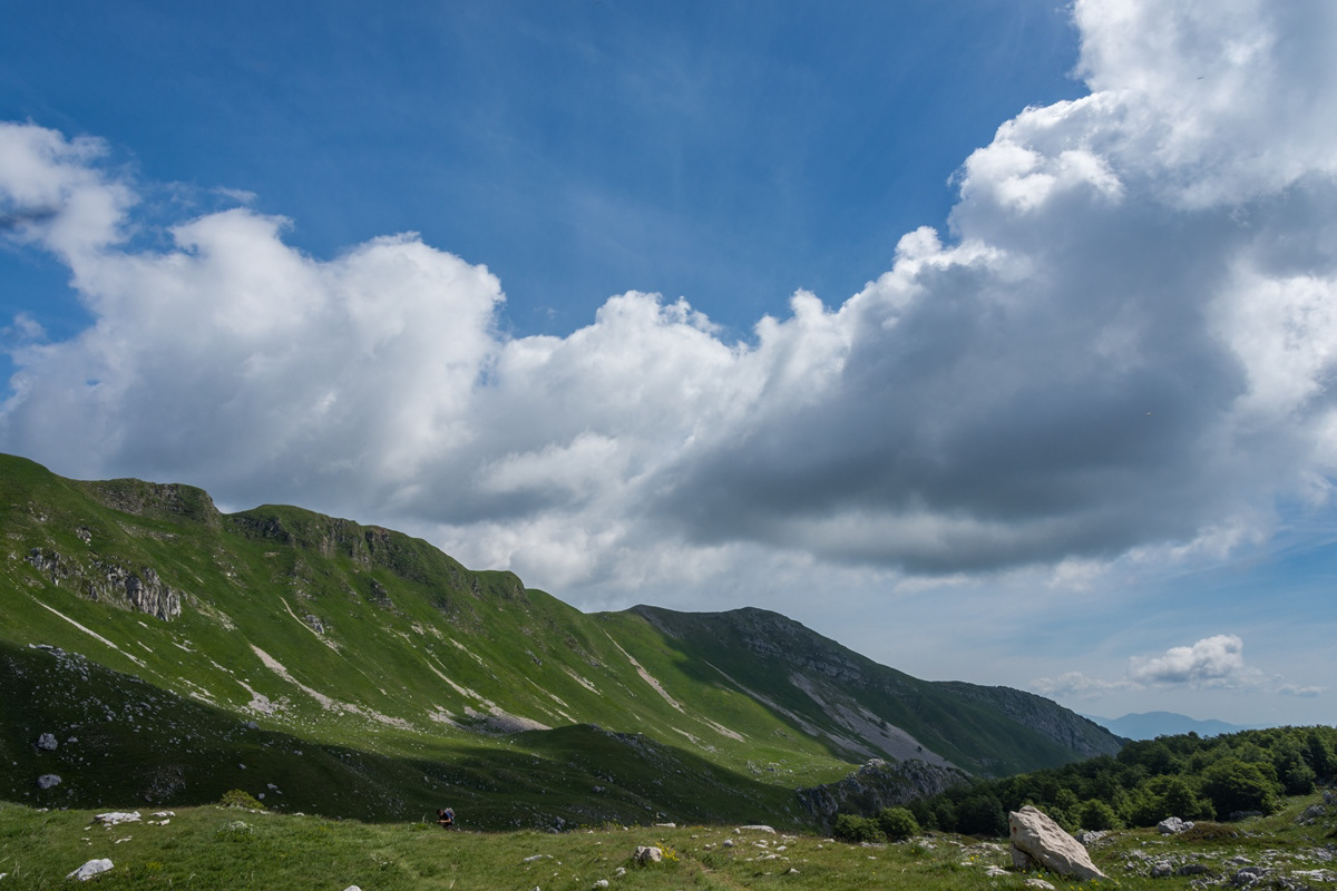
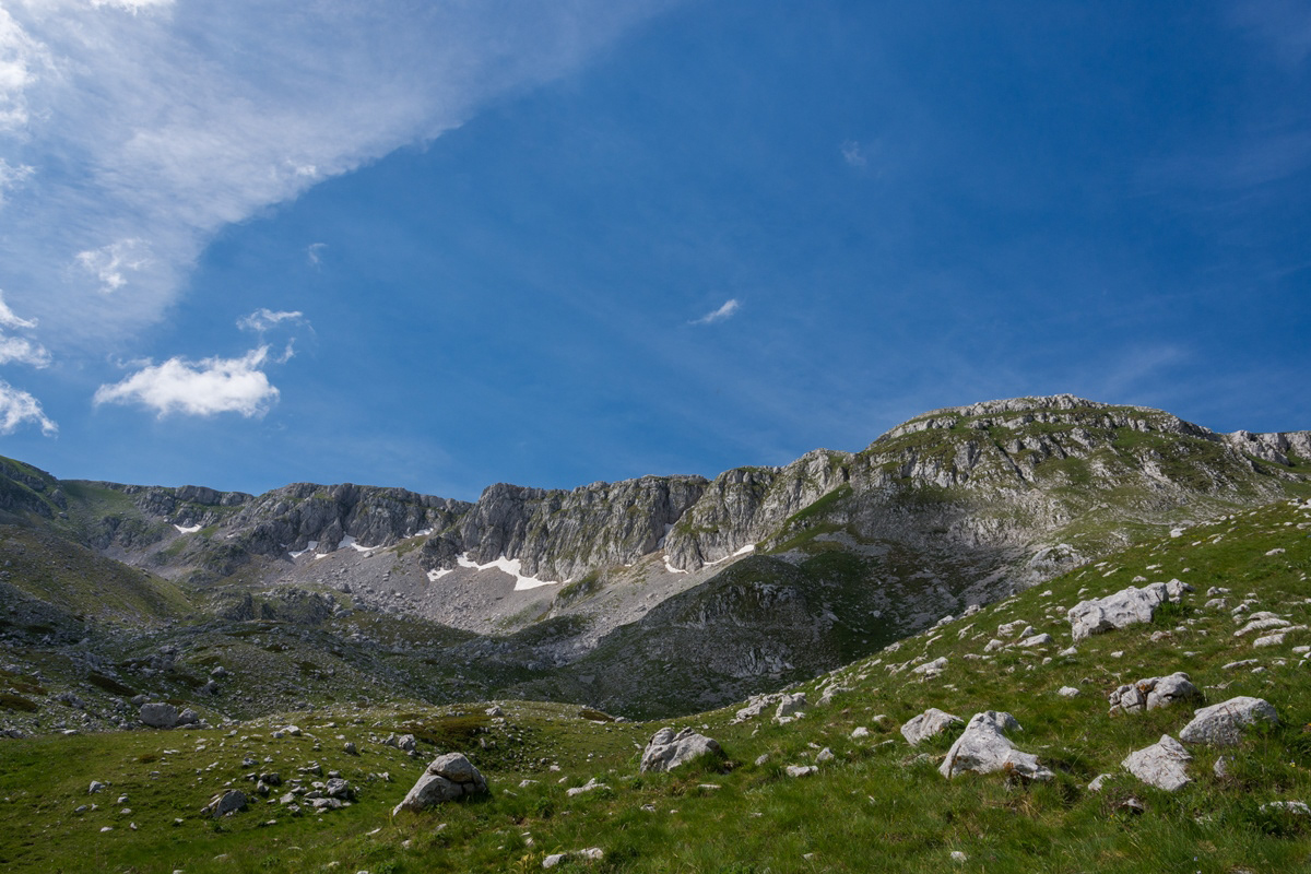
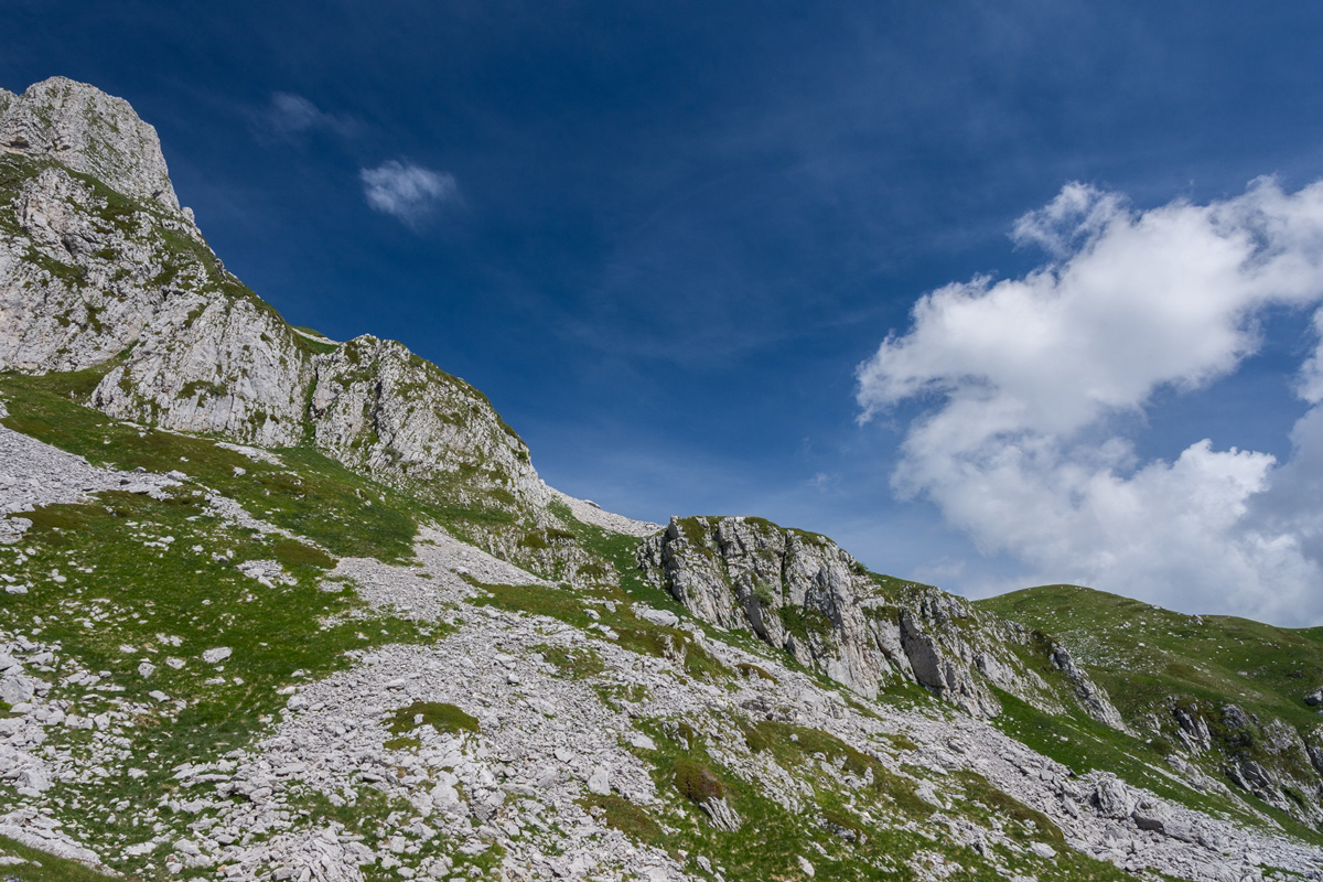
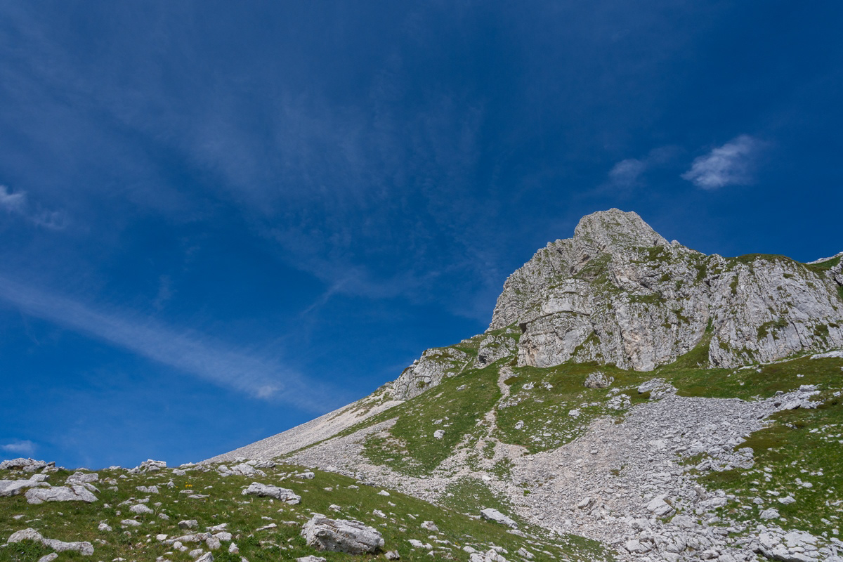
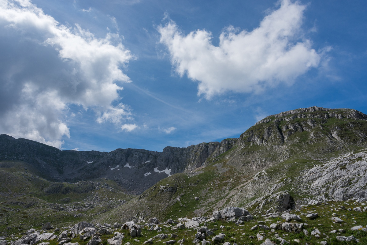
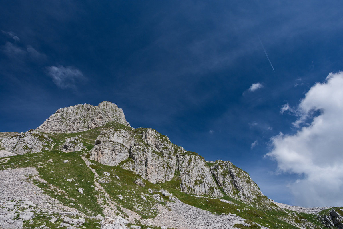
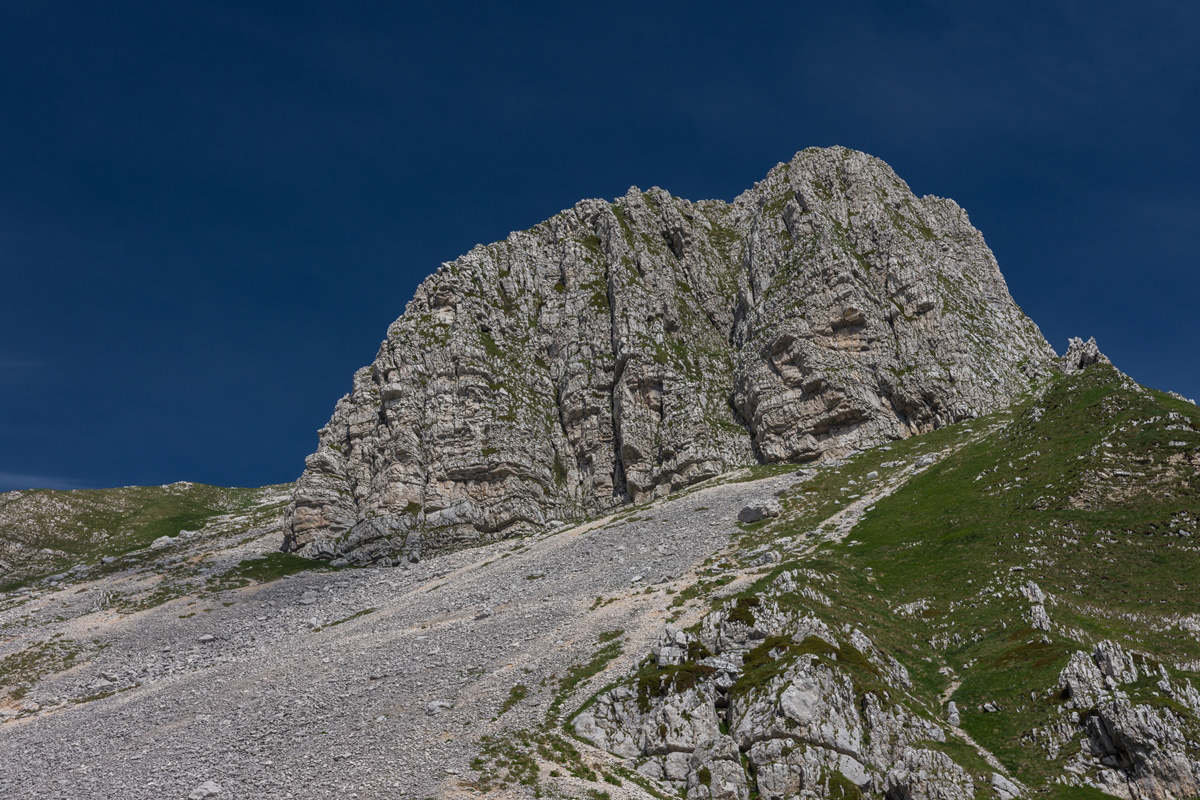
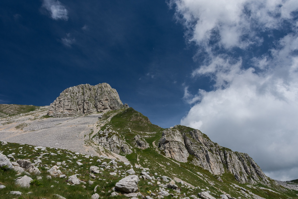
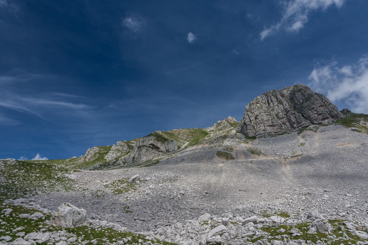
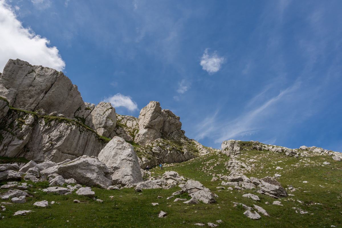
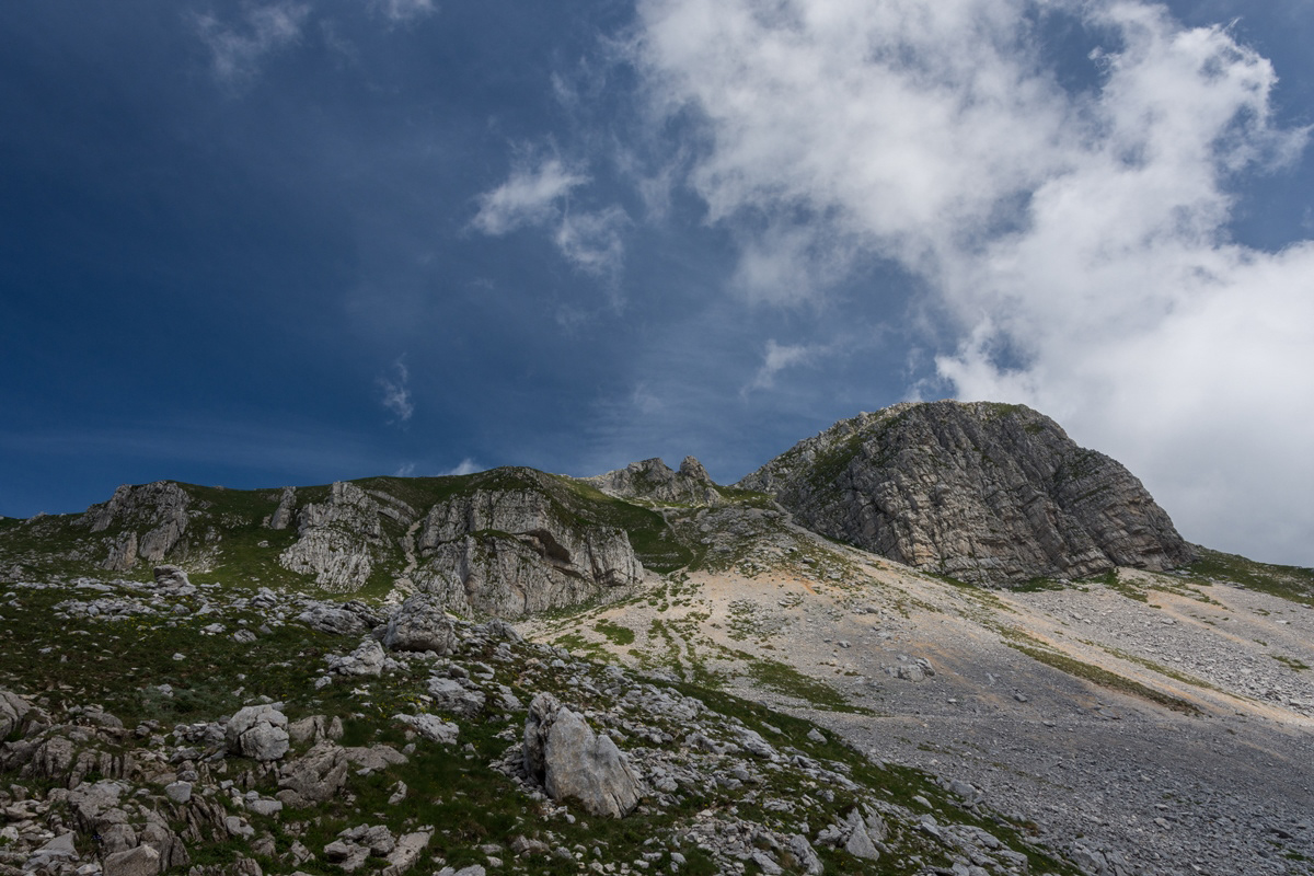
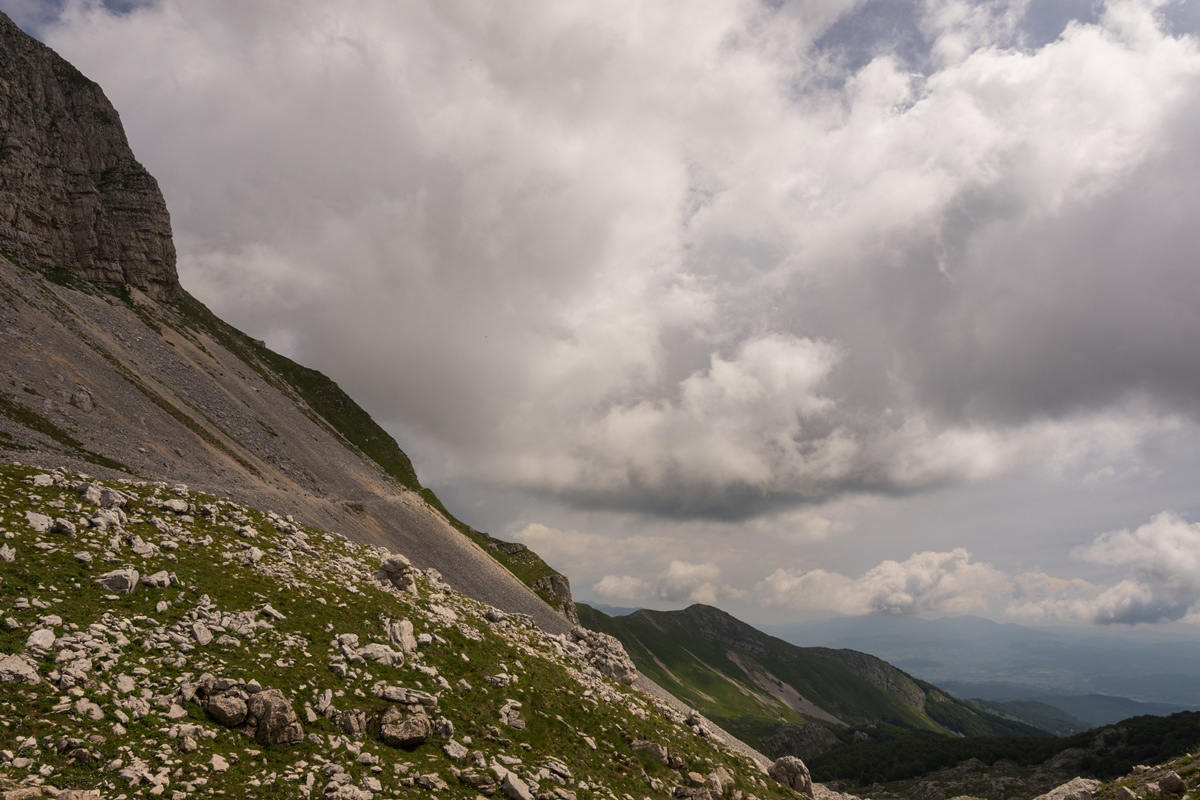
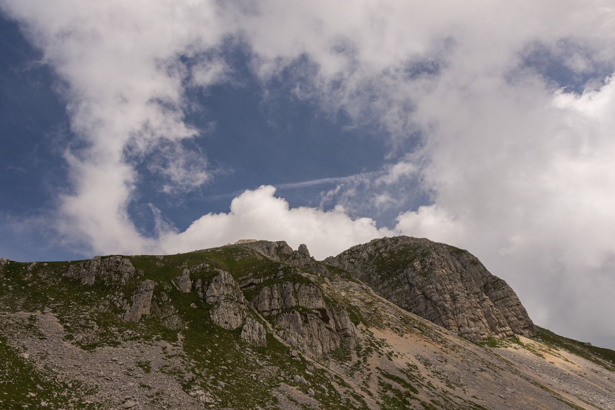
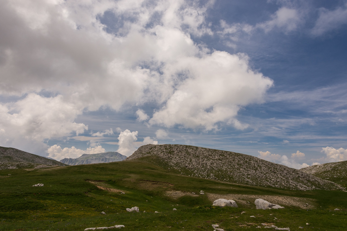
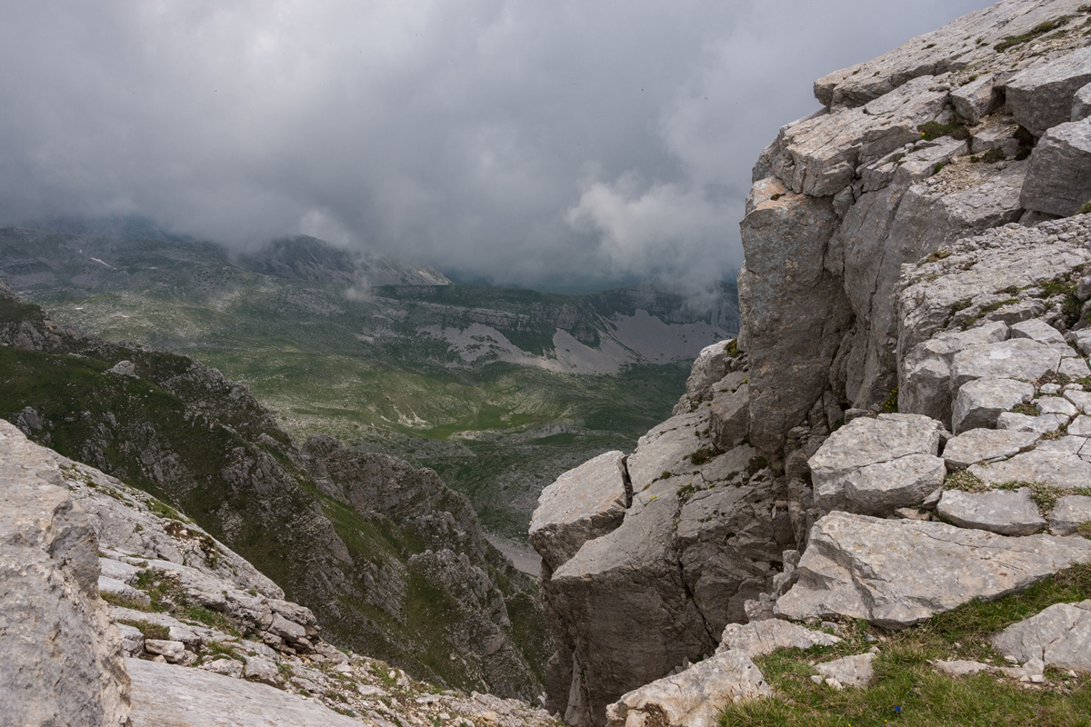
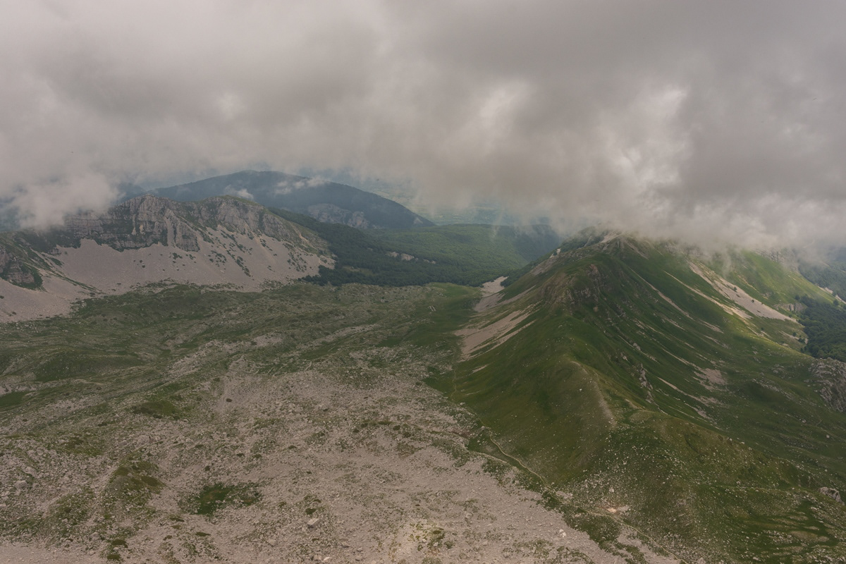
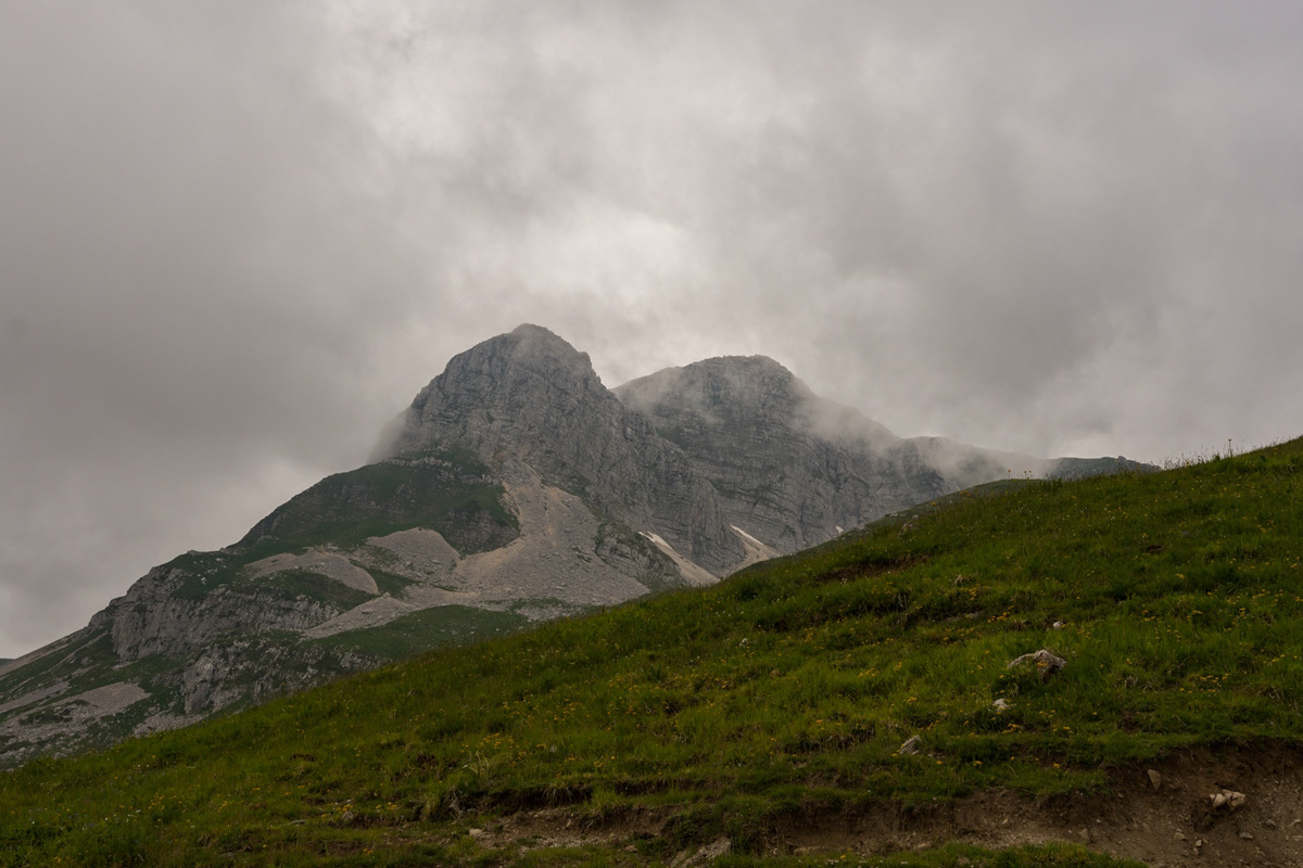
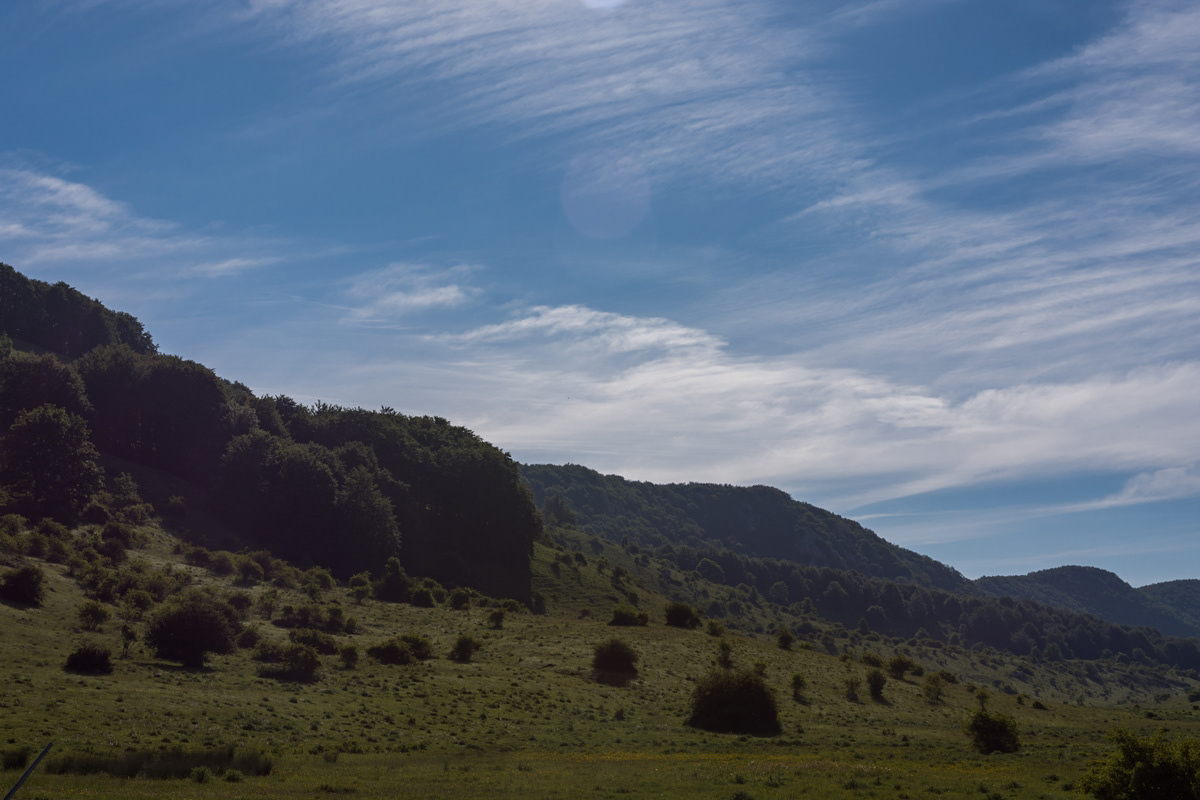
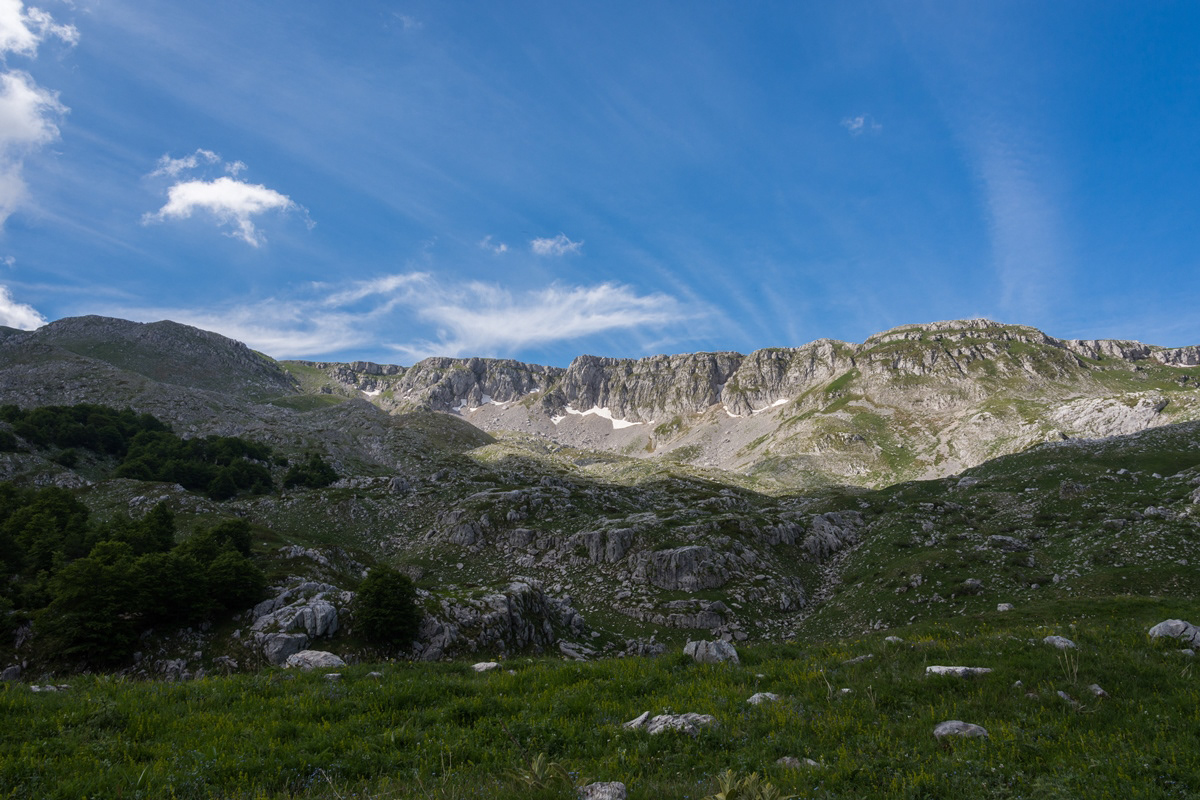
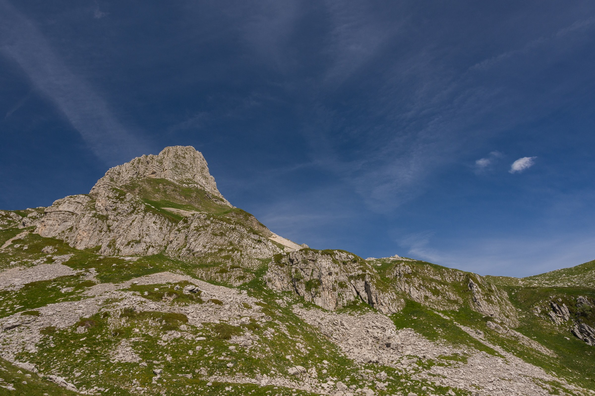
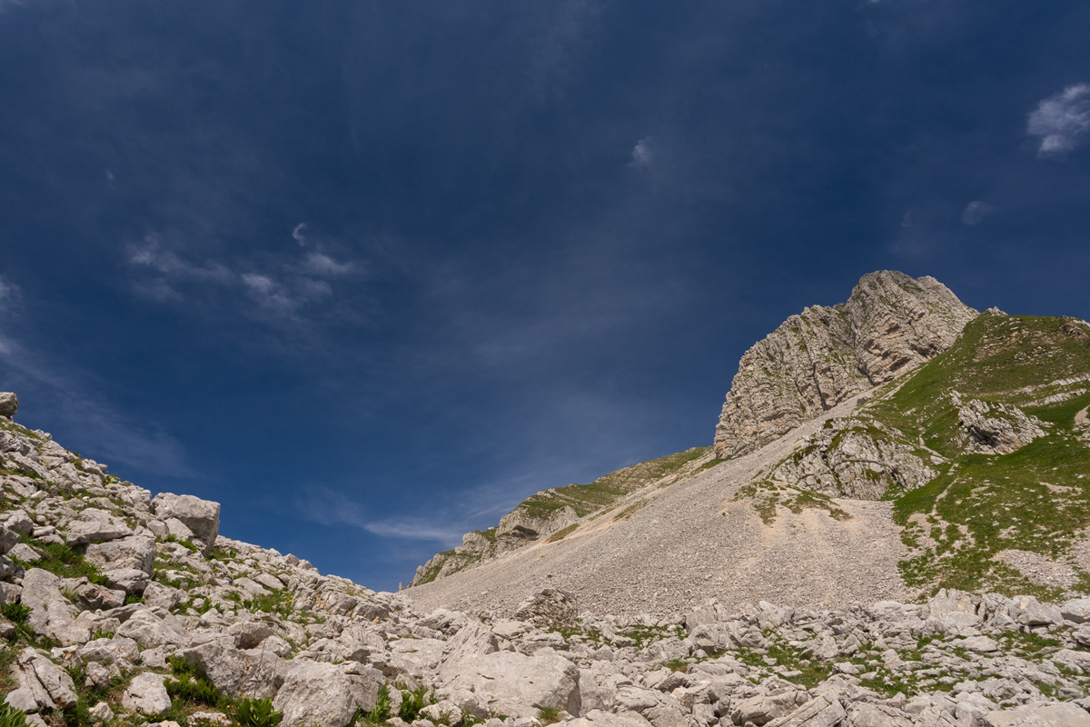
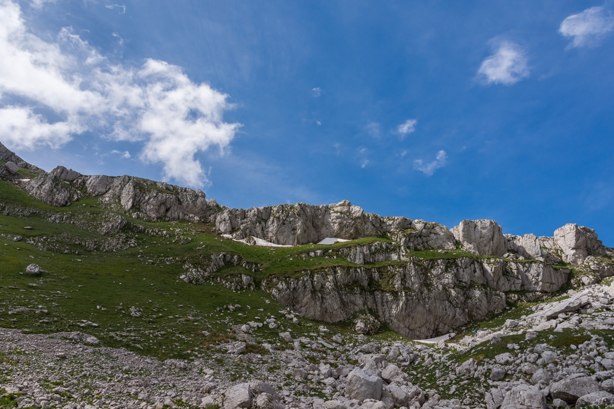
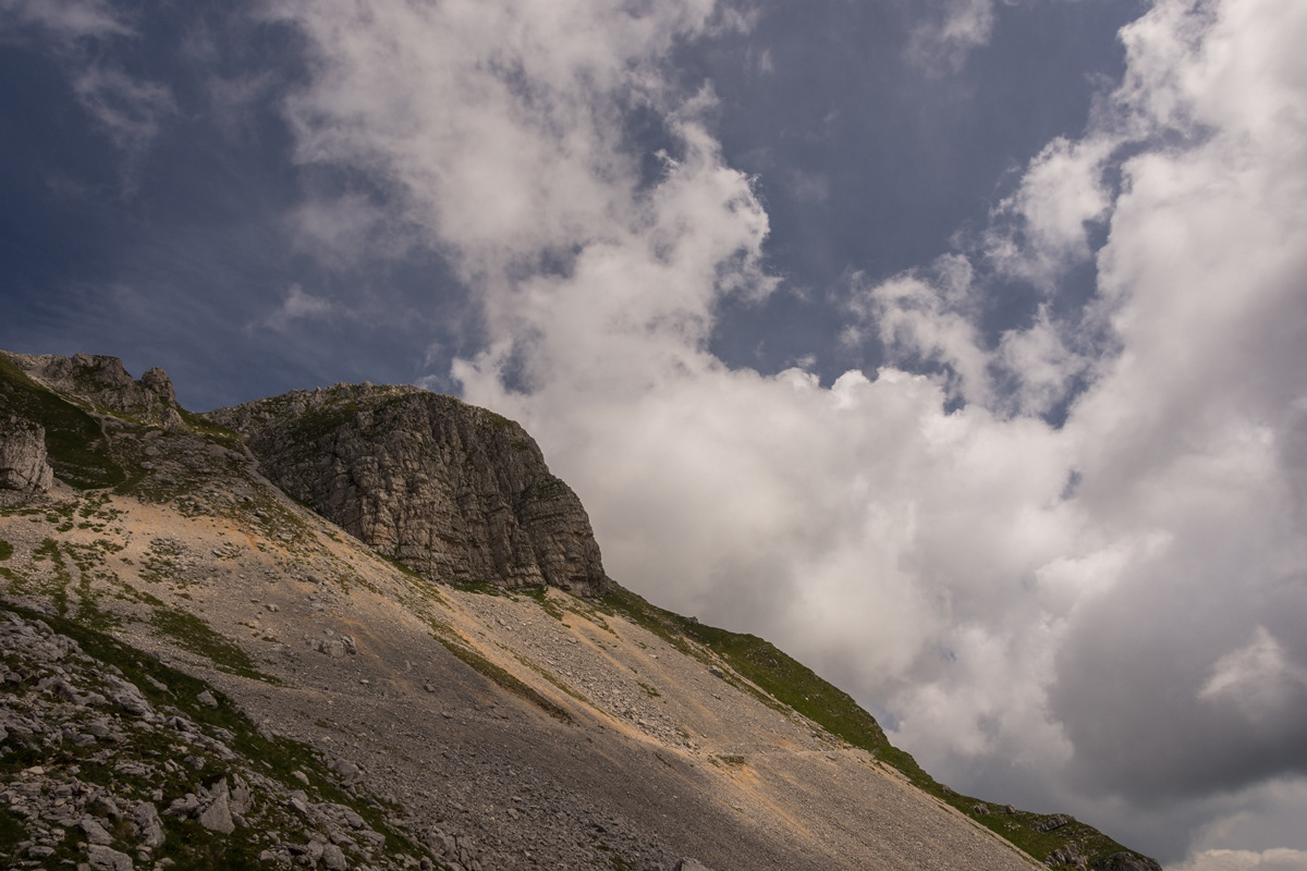
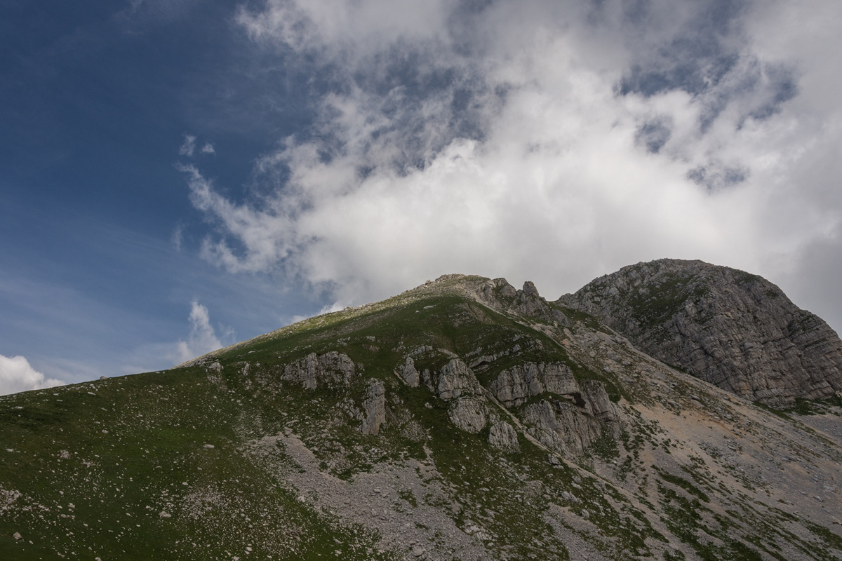
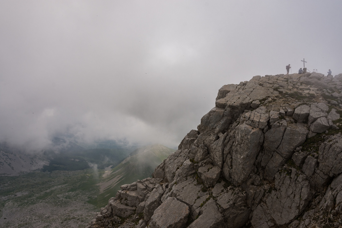
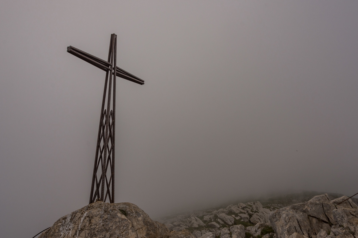
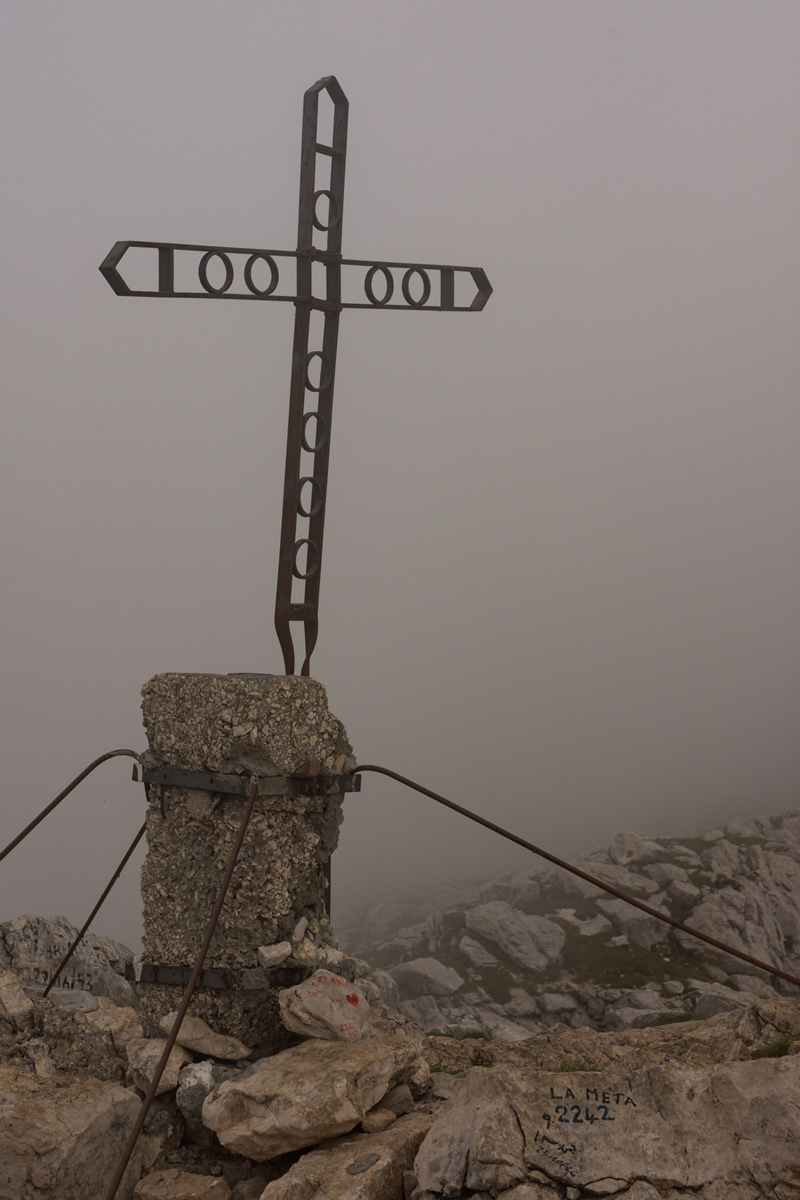
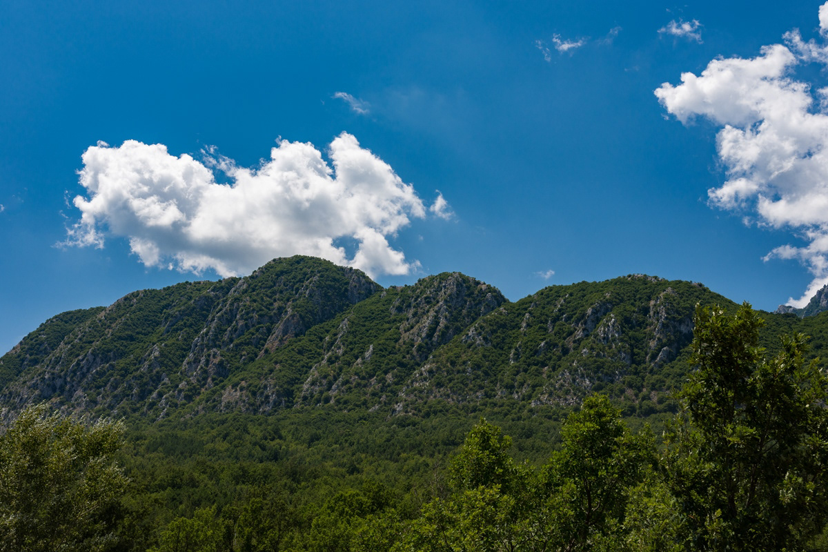
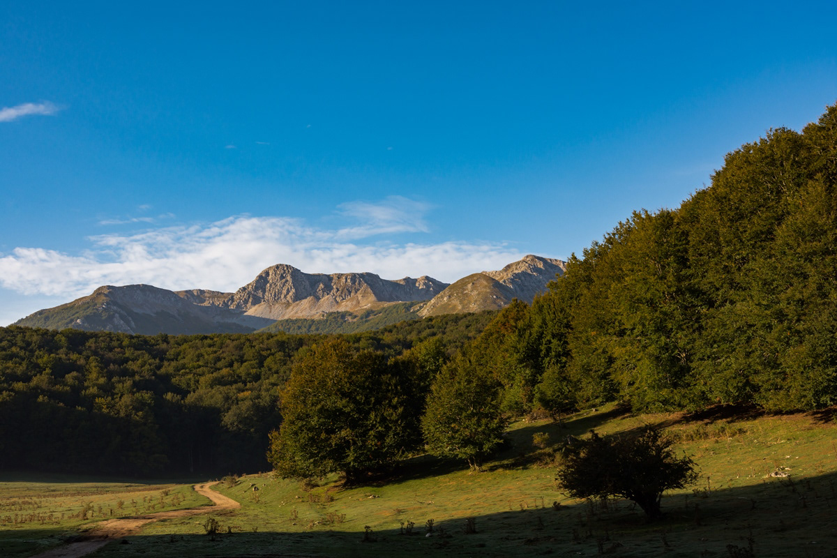
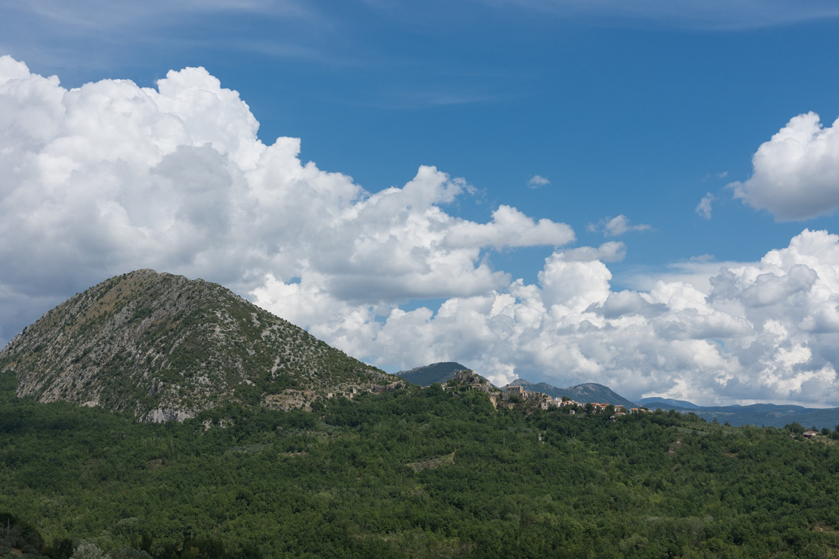
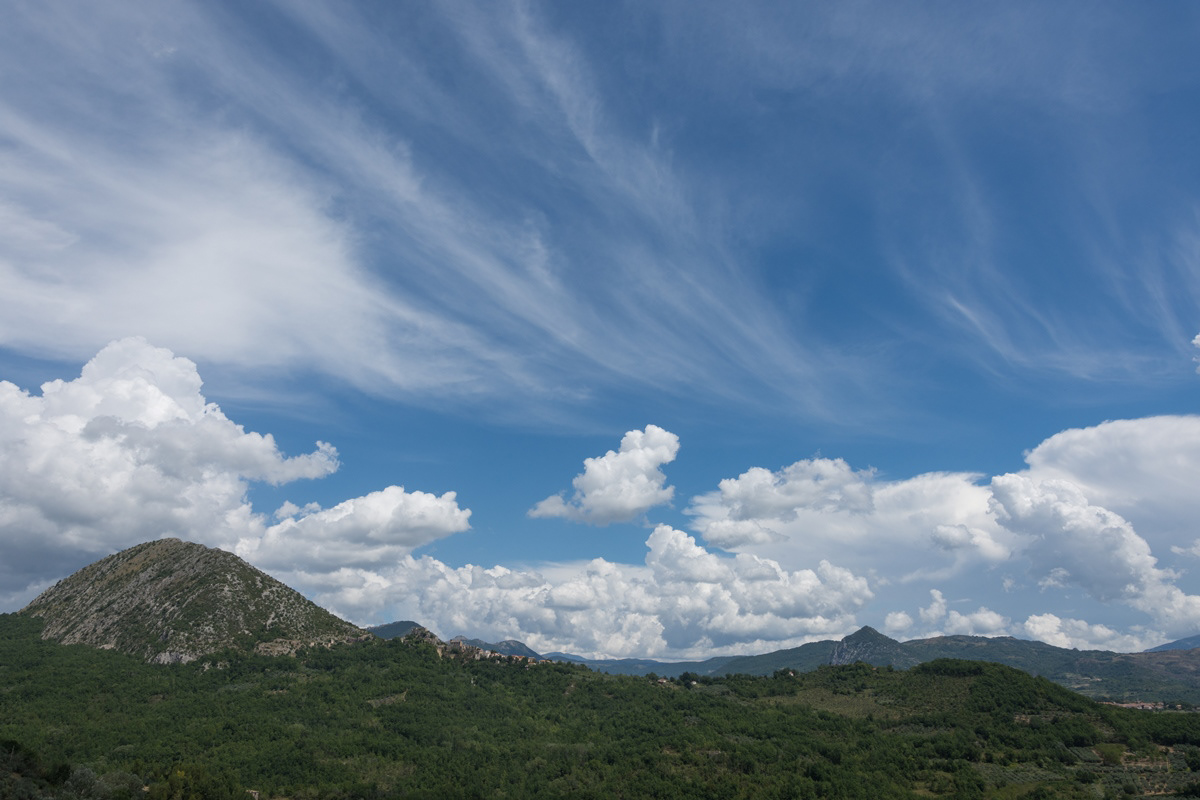
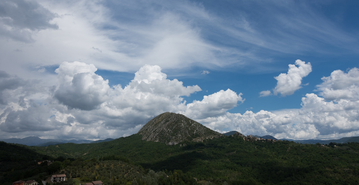
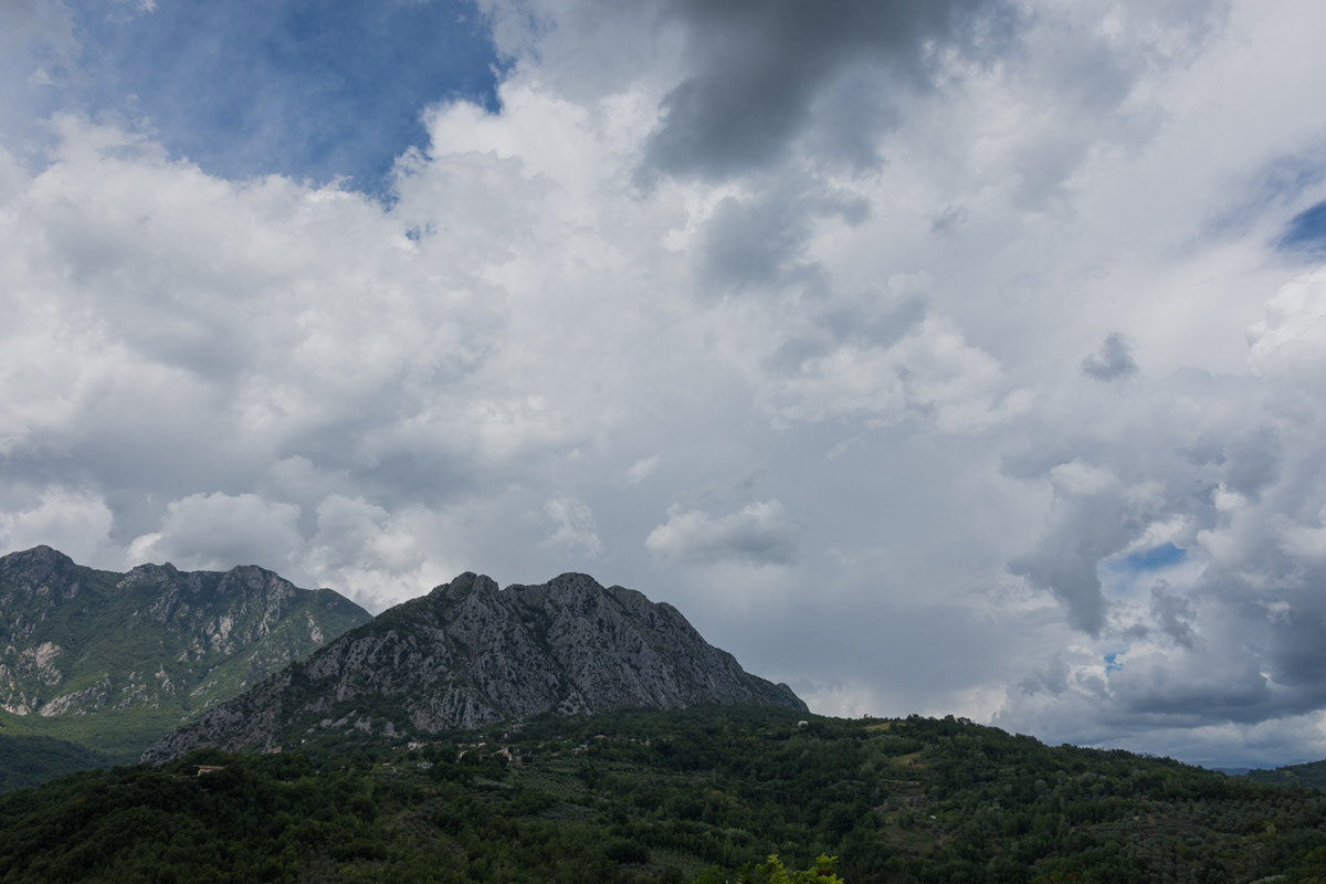
You may also like

2022
Molise, landscapes
2021
Termoli, la Cattedrale di S. Maria della Purificazione
Di notevole interesse architettonico è la cattedrale in stile romanico pugliese dove sono conservati i corpi dei santi patroni della città, Basso e Timoteo. Costruita nel punto più alto del promontorio termolese, ha uno sviluppo longitudinale ed è divisa in tre navate. È difficile stabilire la data di costruzione della basilica; alcuni elementi, però, farebbero pensare alla presenza di una cattedrale già nel IX-X secolo. La facciata della chiesa può essere idealmente (e anche materialmente) divisa in due parti: quella inferiore e quella superiore in netto contrasto tra loro.
2021
Isernia, Church of S. Maria Assunta
La Chiesa, in stile moderno, si trova nel centro cittadino della parte nuova ed è facilmente raggiungibile da ogni punto. Essa stessa rappresenta un punto di riferimento urbano per muoversi all'interno della città.
2015
San Pietro Avellana (IS), eremo di S. Amico
2023
Roccavivara, Sanctuary of S. Maria di Canneto
Surrounded by pines, in an area already inhabited in Roman times, the abbey-sanctuary of S. M. di Canneto rises isolated in the middle of an olive grove.
2023
Vastogirardi, novembre 2023
Physical geography It is located at 1200 m above sea level. in the part of Molise bordering Abruzzo. The territory of Vastogirardi (IS) extends over an area of 60.72 km² and borders the municipalities of Capracotta to the north, San Pietro Avellana, Castel di Sangro (AQ) and Rionero Sannitico to the west, Forlì del Sannio, Roccasicura and Carovilli to the south, Agnone to the east. From a morphological point of view, the territory is separated from that of Capracotta by reliefs of Monte Capraro, which oscillate between 1300 - 1350 m, which descend steeply to Piano S. Angelo and Difesa Grande and Capo di Trigno (ancient lake basin ) at an altitude of 1100 m from which the Trigno river originates, one of the two most important Molise rivers which flows into the Adriatic Sea and gives its name to the road of the same name which reaches up to San Salvo (CH), i.e. the Trignina. To the west are the mountains of Montagnola (1292 m) and Monte Miglio (1350 m), to the south is Monte Pizzi (1373 m), while to the east are the mountains of Montagna Fiorita with Montarone (1278 m). Vastogirardi develops close to a hill at the top of which are the castle and the ecclesiastical complex of San Nicola di Bari. Inside the walls is the village, which appears well preserved in its original defense function, as evidenced by the cylindrical towers incorporated in factories and the supports between building blocks. The result of subsequent expansions, the churches of S. Rocco and S. Maria delle Grazie were built at the beginning of the 18th century and incorporated into the third urban expansion dating back to the 18th - 19th century. Over the course of the last century the town no longer followed the aggregation trend of stepped bands, according to the morphological trend of the site, but developed along via Garibaldi c.da Difensa (towards Castel di Sangro) and via Re d'Italia (direction Isernia). Origins of the name It is assumed that the name Vastogirardi originates from the name of a crusader captain, Giusto Girardi. In the past it also took the name of Castrum Girardi due to the castle (other attested toponyms are Castel Girardo, Rocca Girardo, Guasti Belardi, Guardia Giraldo and Guardia Gerardo) and subsequently its current name, deriving from an alliteration of Lombard jargon.
2022
Rocchetta al Volturno
Rocchetta a Volturno is an Italian town of 1 098 inhabitants in the province of Isernia in Molise. The Municipality of Rocchetta al Volturno is made up of two nuclei: the original village, called Rocchetta Alta, or Rocchetta Vecchia, still perched in a defensive position on the mountain, and Rocchetta Nuova, which is located at a lower altitude. The new Rocchetta was born because, at the end of the 19th century, the slope that connected the southern part of the ancient town with the opposite hill was deforested and the land began to show serious subsidence from 1890 due to the progressive sliding of the superimposed layers of clay and sandstone, increased by water infiltrations, both rain and spring. In 1905, following further disastrous events, the population moved for the most part downstream, where there was a hamlet called Case Sparse. The modern town is developed today in the center of a plateau, bordered to the west by the terminal part of the Mainarde chain and to the east by a depression, at the bottom of which the Volturno flows; about two kilometers away are the sources of the river. Its name characterizes the toponyms of other nearby municipalities such as Colli a Volturno and Cerro al Volturno.
2022
Spectacular winter panorama 2022
2016
Poggio Sannita (IS)
Poggio Sannita (Caccavone in dialetto poggese) è un comune italiano di 639 abitanti della provincia di Isernia in Molise.
2023
Macchia d'Isernia. Baronial castle D'Alena. View
Baronial castle of Alena: the castle occupies a substantial portion of the ancient circular village. It was built around 1100 by Clementina, daughter of Roger II Norman, king of Sicily, when the feud was part of the county of Ugone del Molise. The garrison passed into the hands of the Anjou, the Afflitto and the Rotondi barons. In 1480 it was restored in Renaissance style as a patrician residence, purchased by Giovanni Donato della Marra, who was count of Macchia. In 1748 the castle was sold to Maria Grazia Rotondi, then given to Nicola d'Alena. Celeste d'Alena was baroness of Macchia, married to the Frisaris, counts of Bisceglie and patricians of Castel San Vincenzo. The façade of the building dominates the square in front of the village, embellished by a Renaissance loggia with round arches. The first part of this loggia dates back to the Aragonese era, with a roof resting on 5 small arches. The rest of the castle is spread over 3 levels, of which the highest is the attic. In the internal courtyard, the beautiful Renaissance staircase with the colonnade stands out, which leads to the main floors. On the ground floor there are cellars, stables and servants' rooms. The upper floor was the residence of the nobles, with various rooms, including the private chapel with various relics. In 1984 the castle was extensively restored, being brought back to its eighteenth-century splendour.
Back to Top