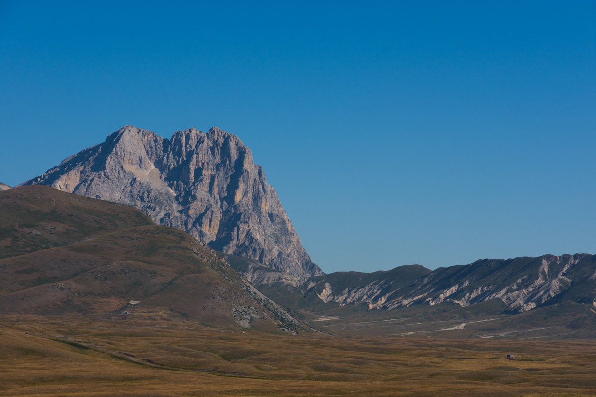
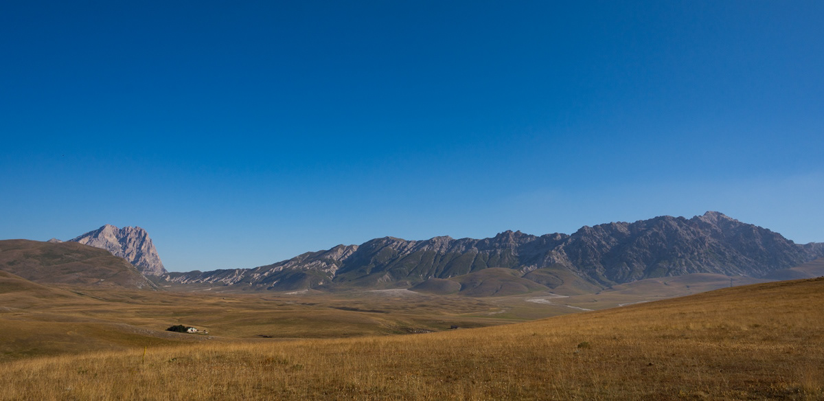
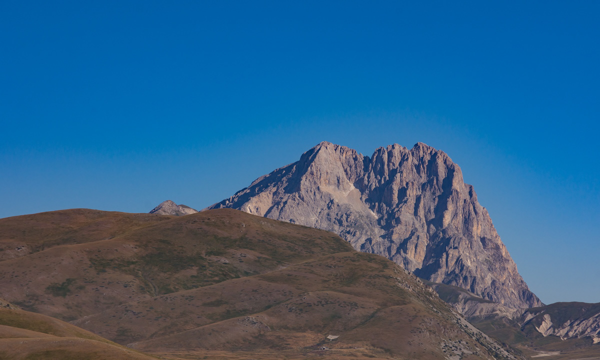
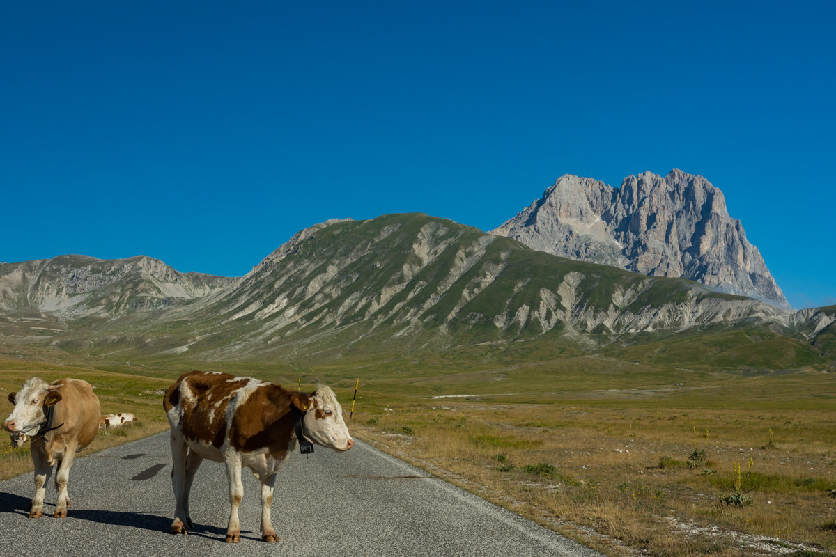
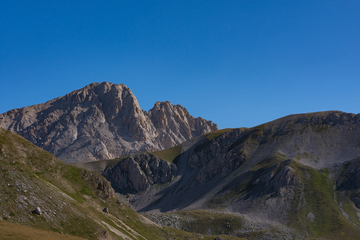
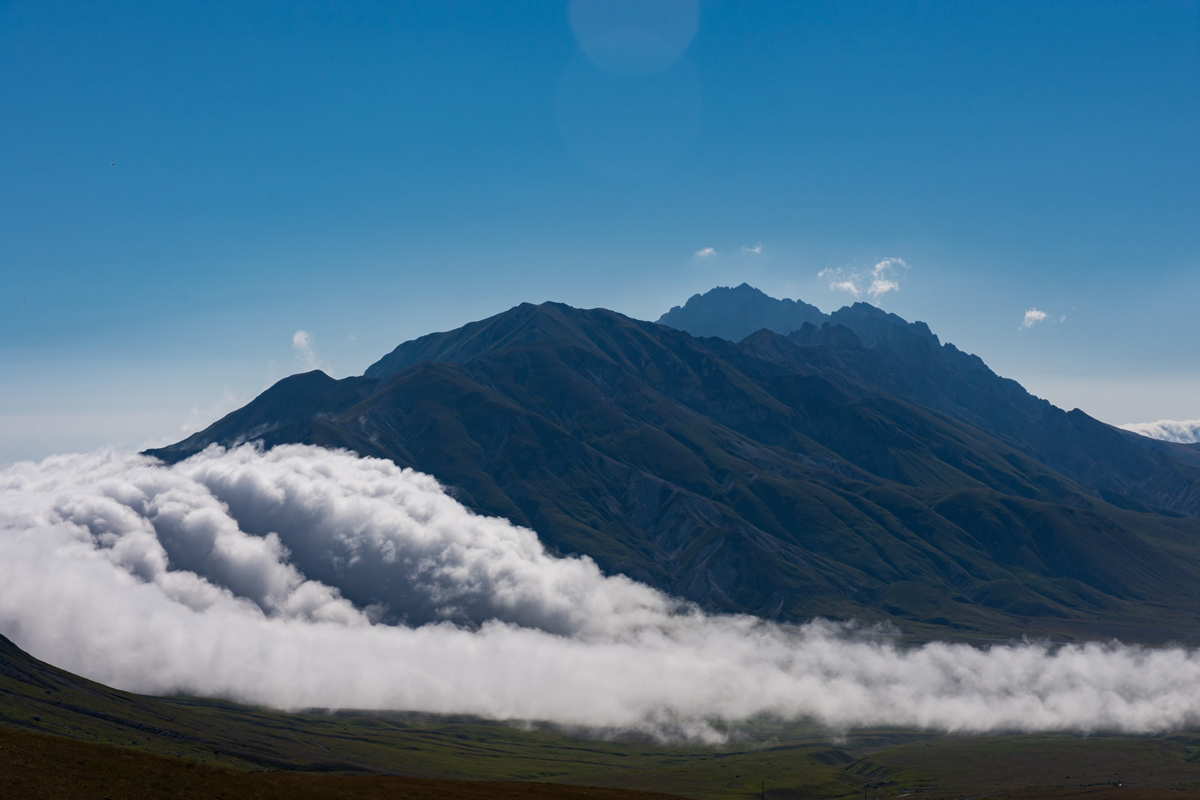
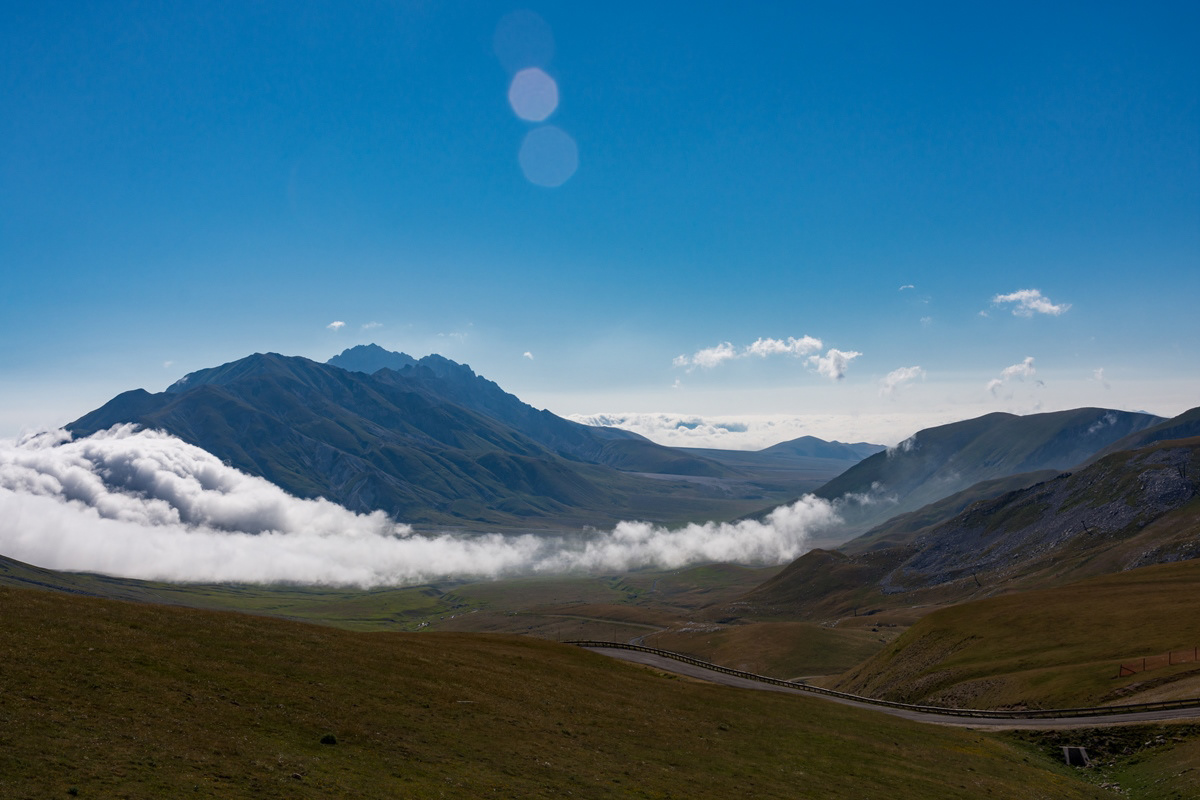
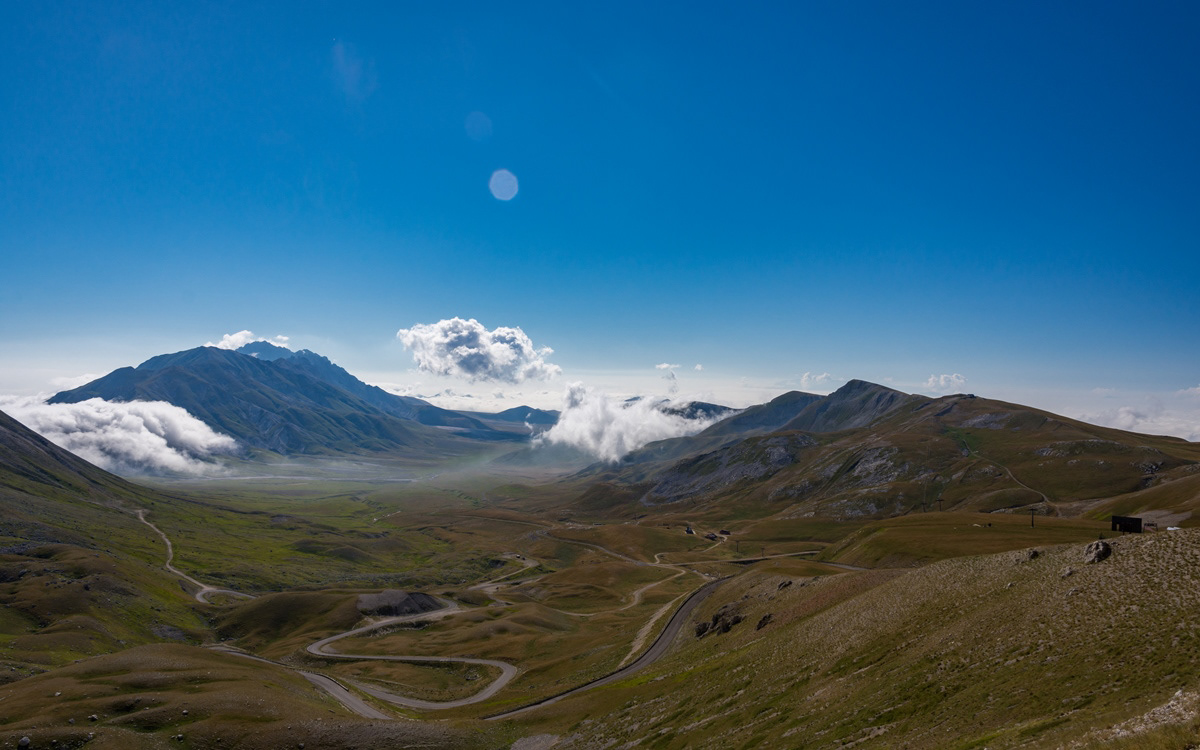
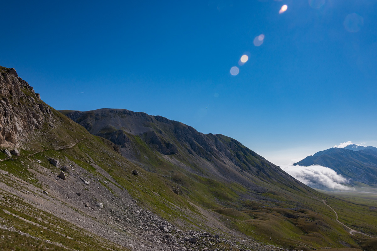
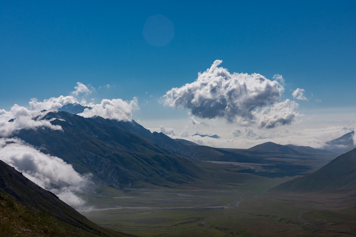
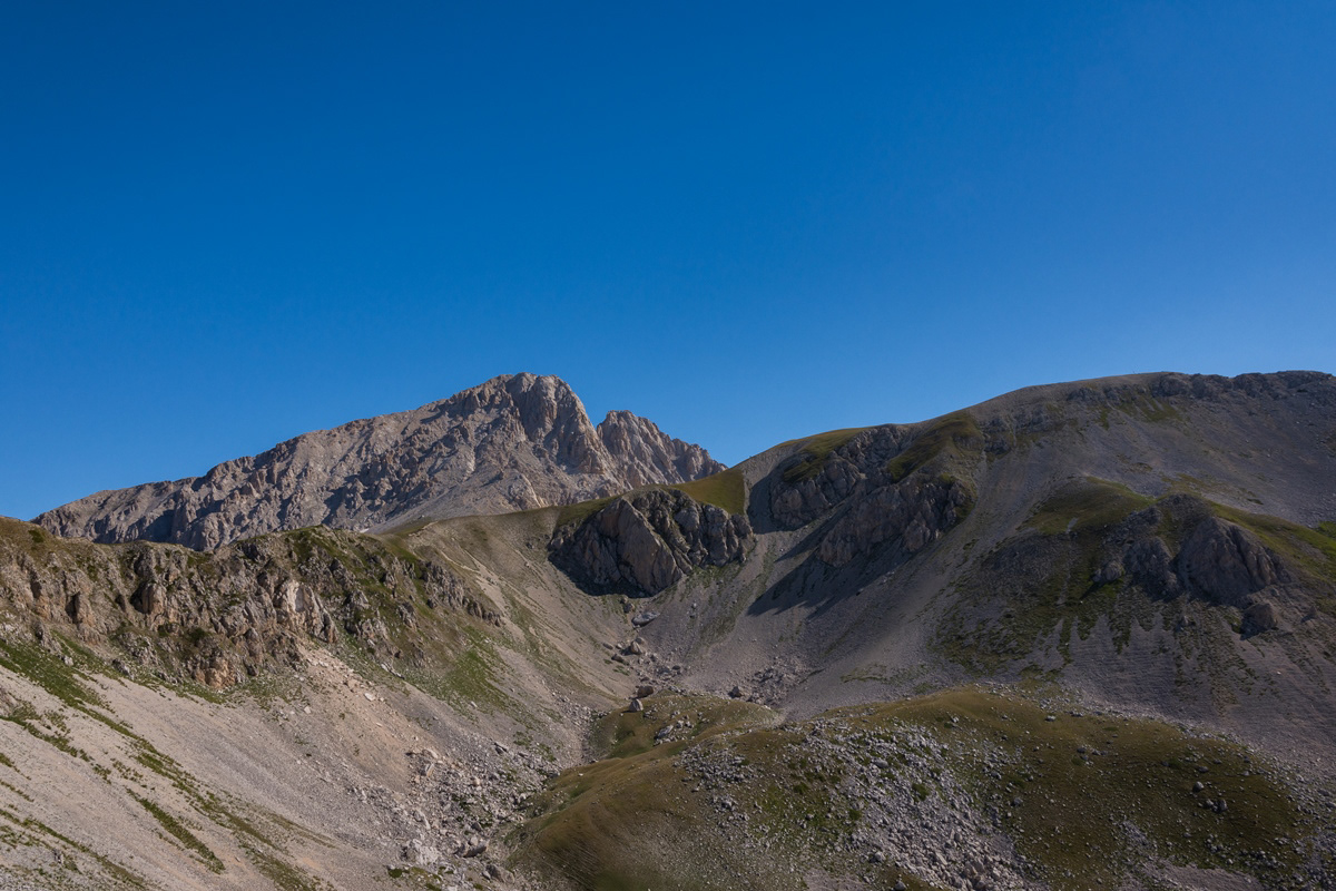
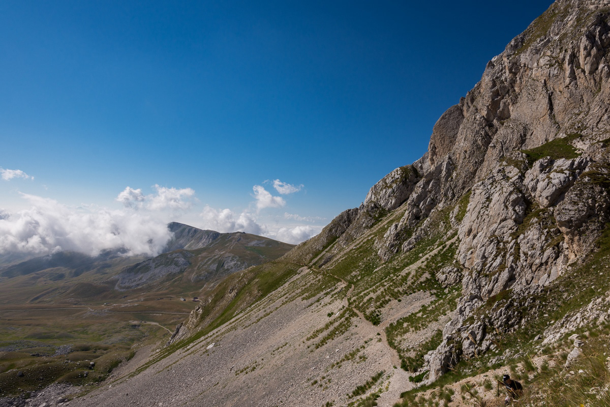
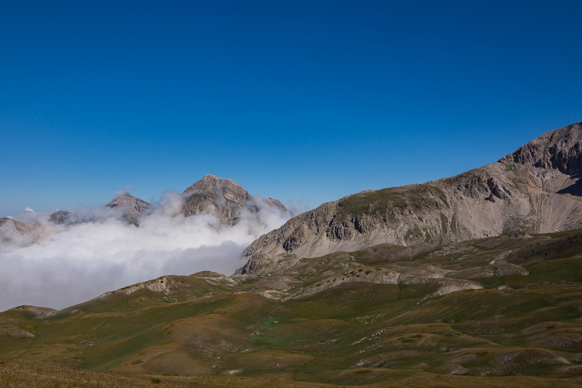
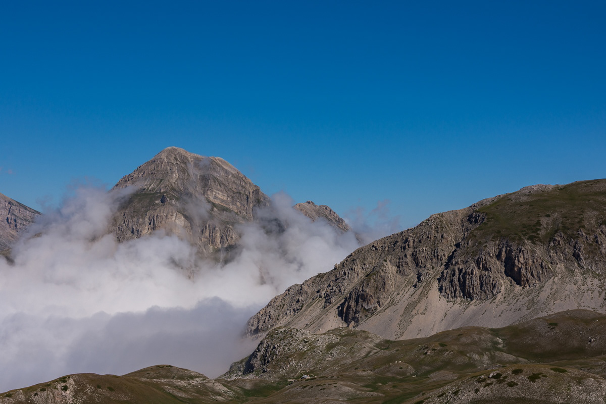
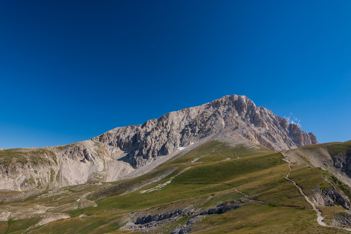
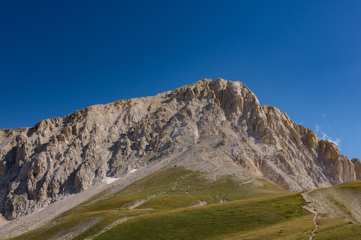
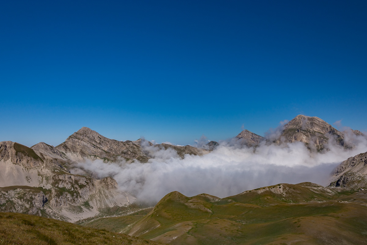
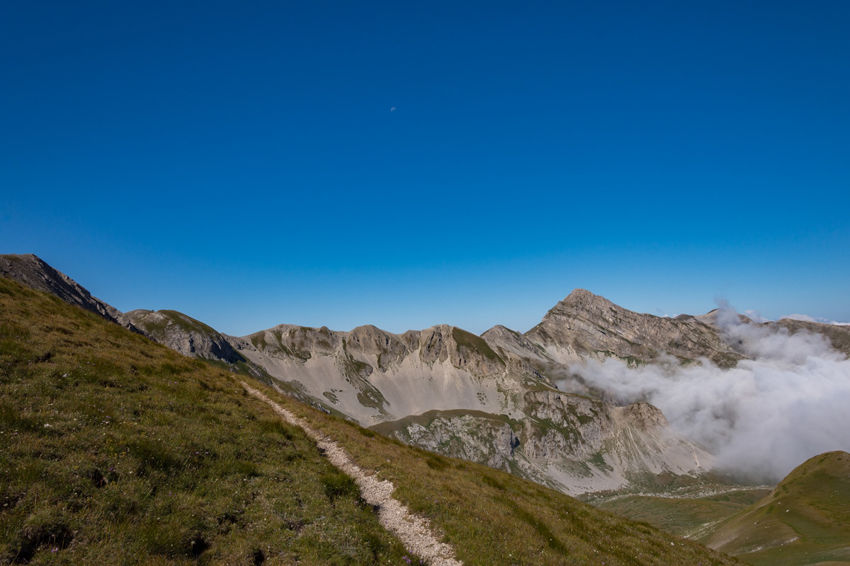
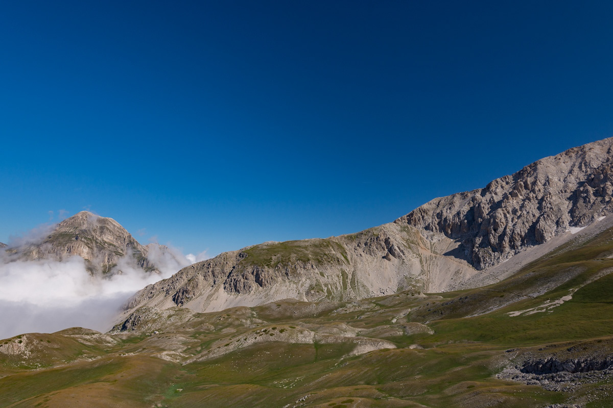
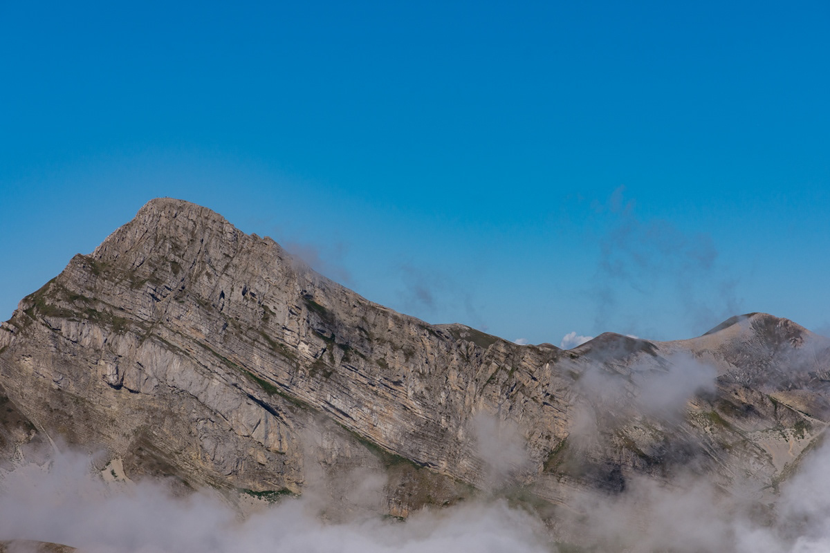
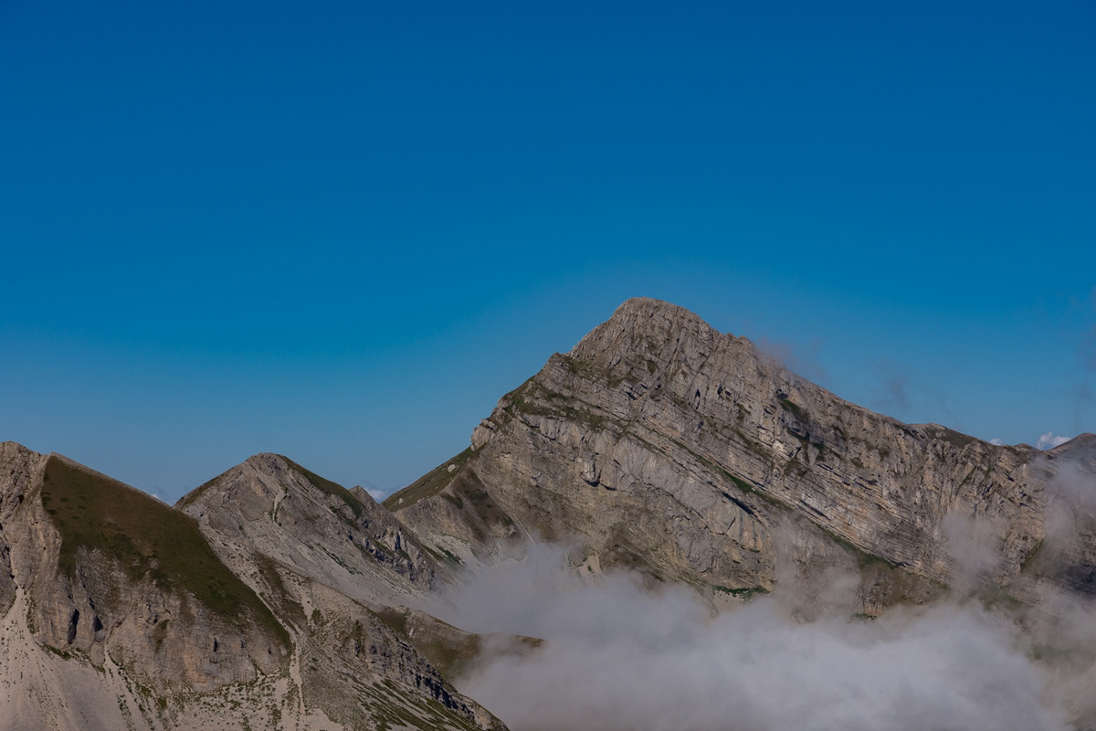
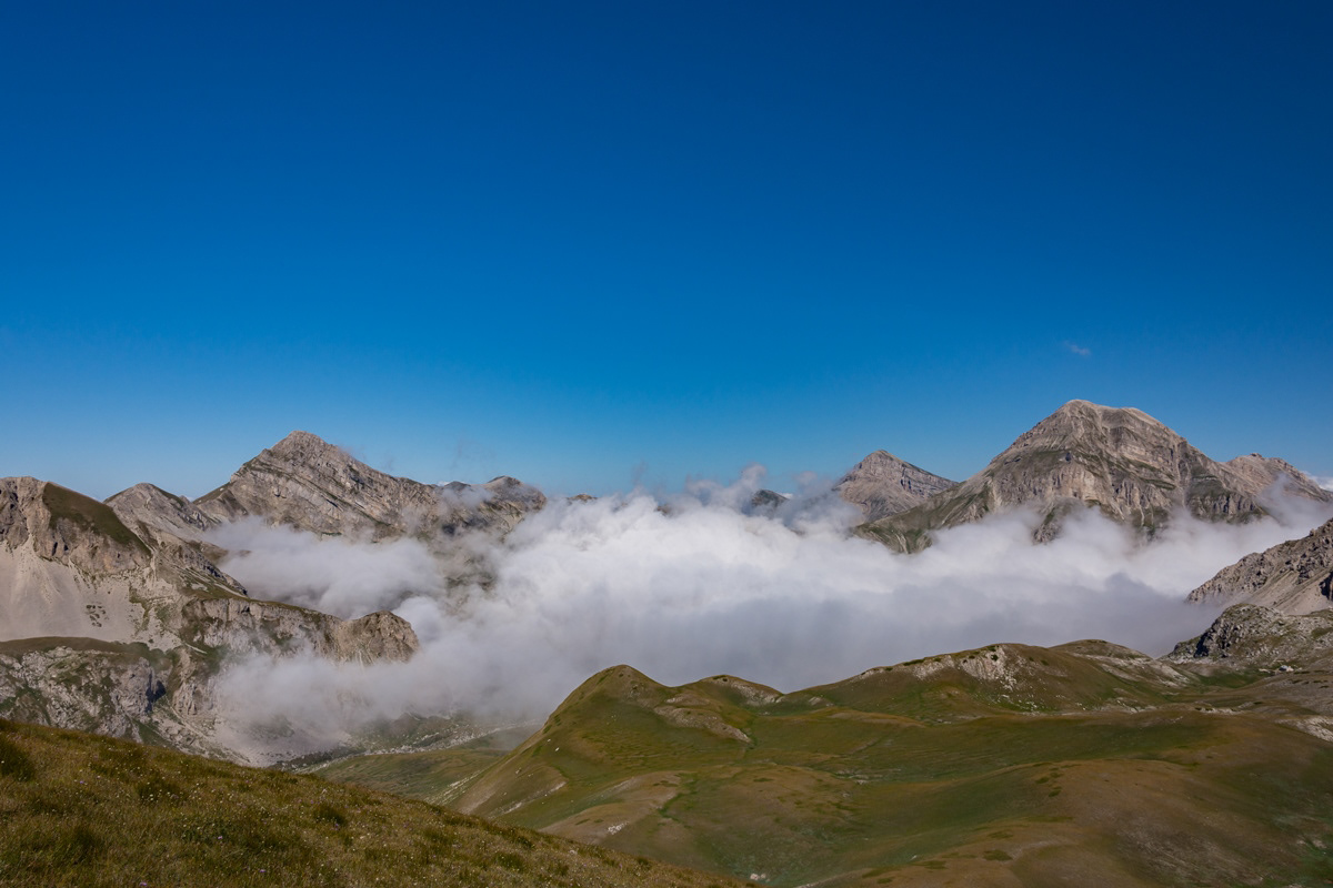
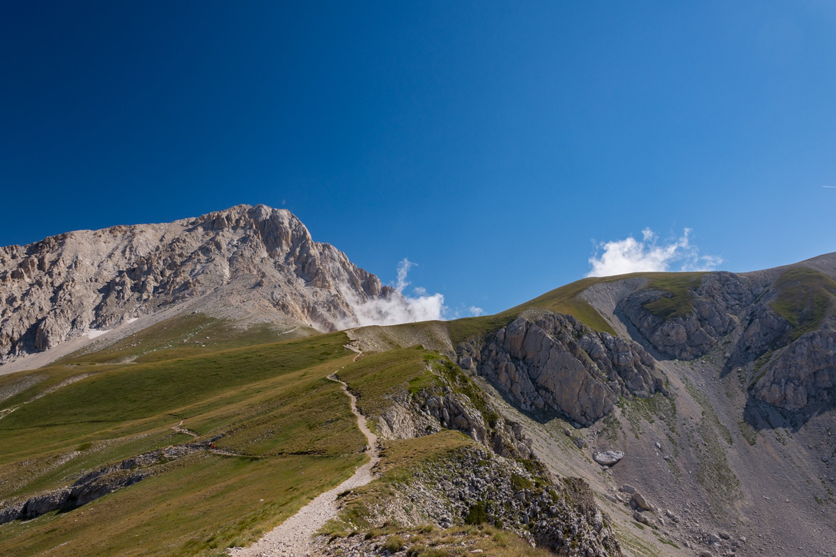
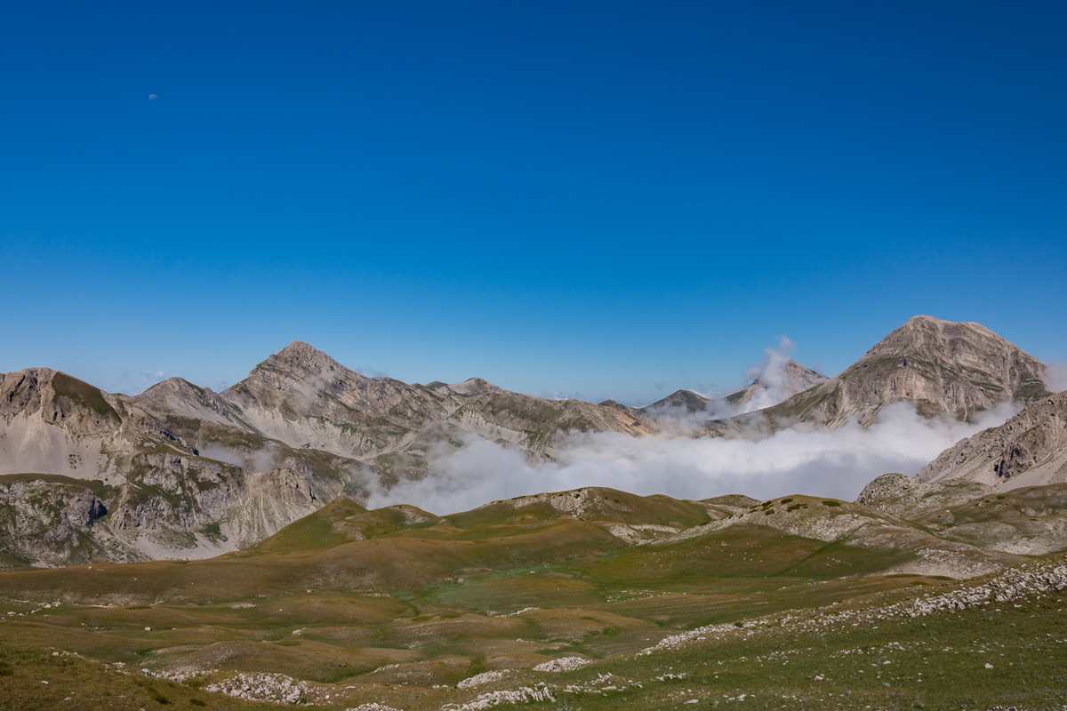
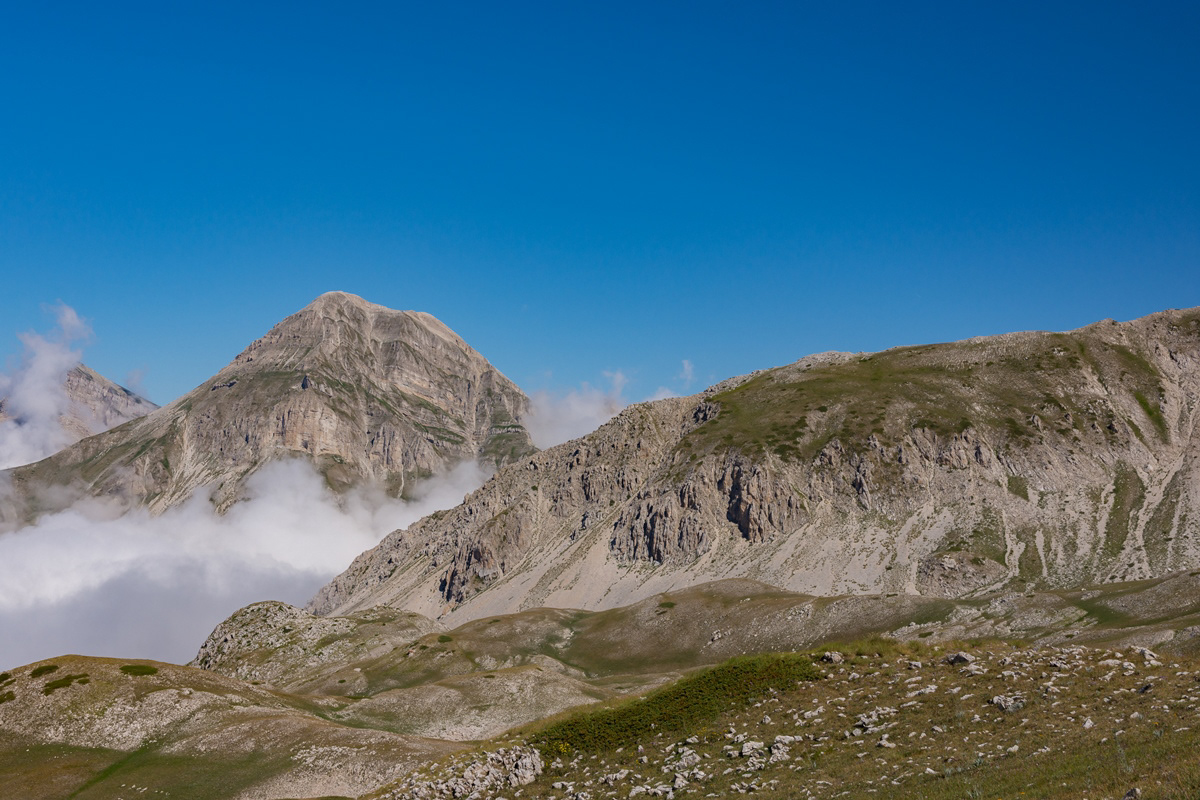
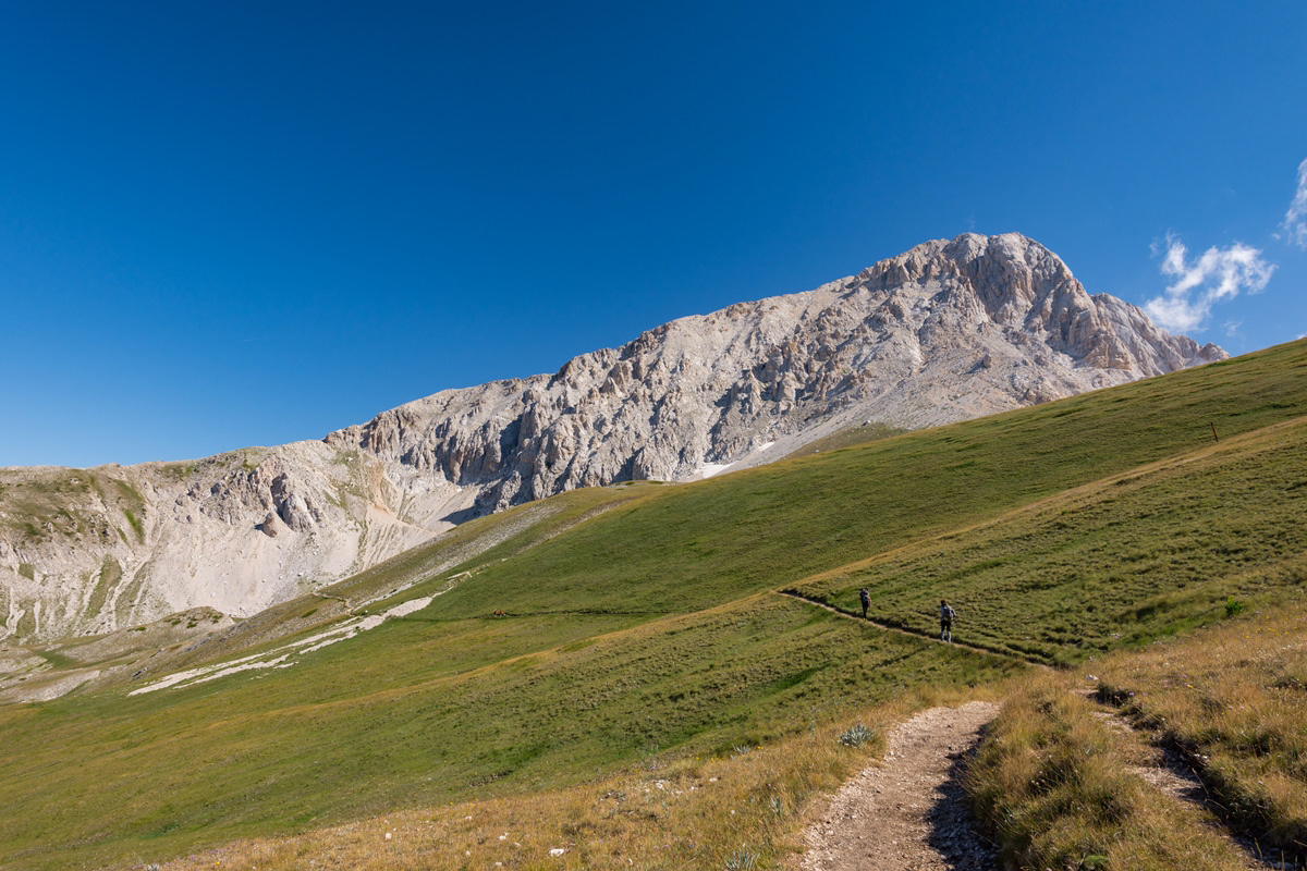
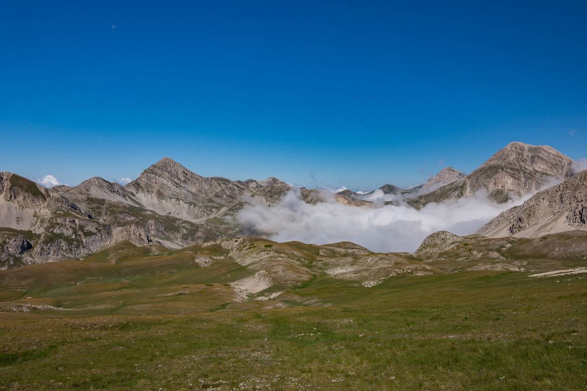
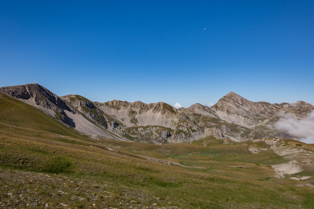
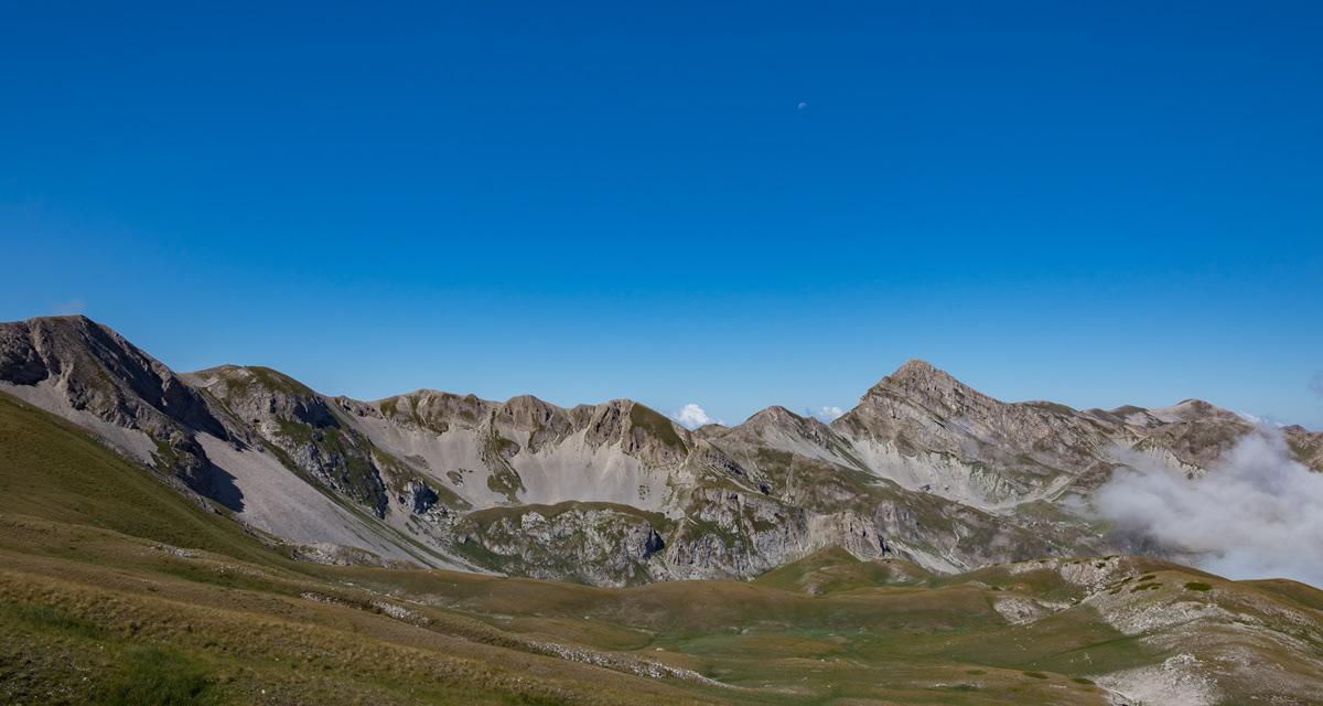
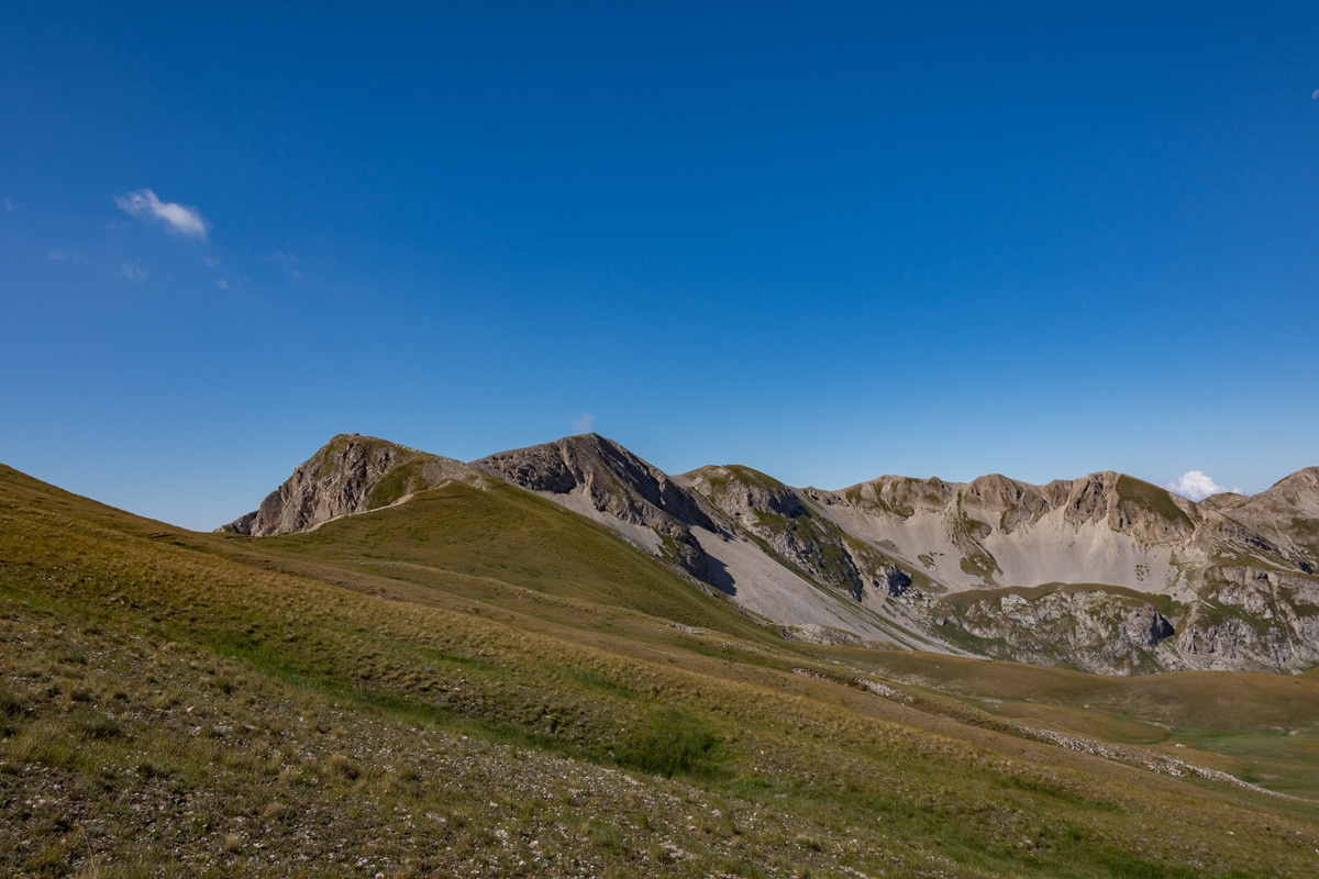
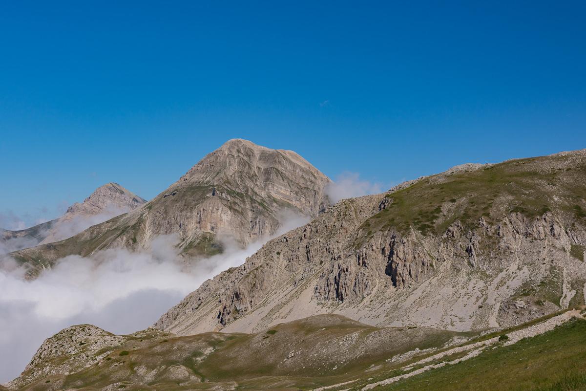
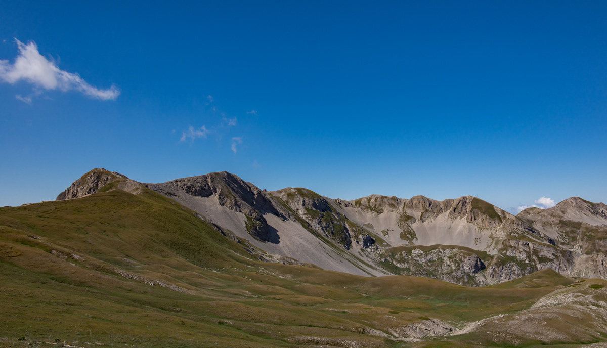
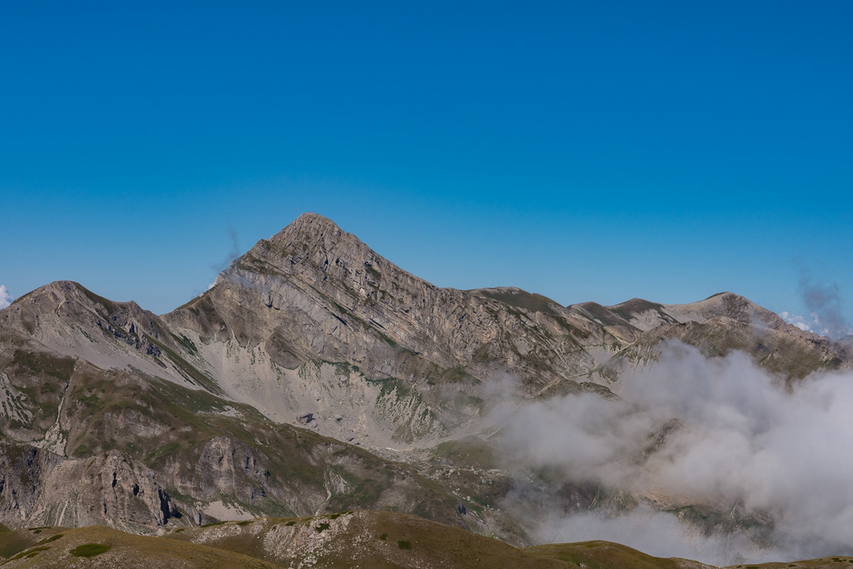
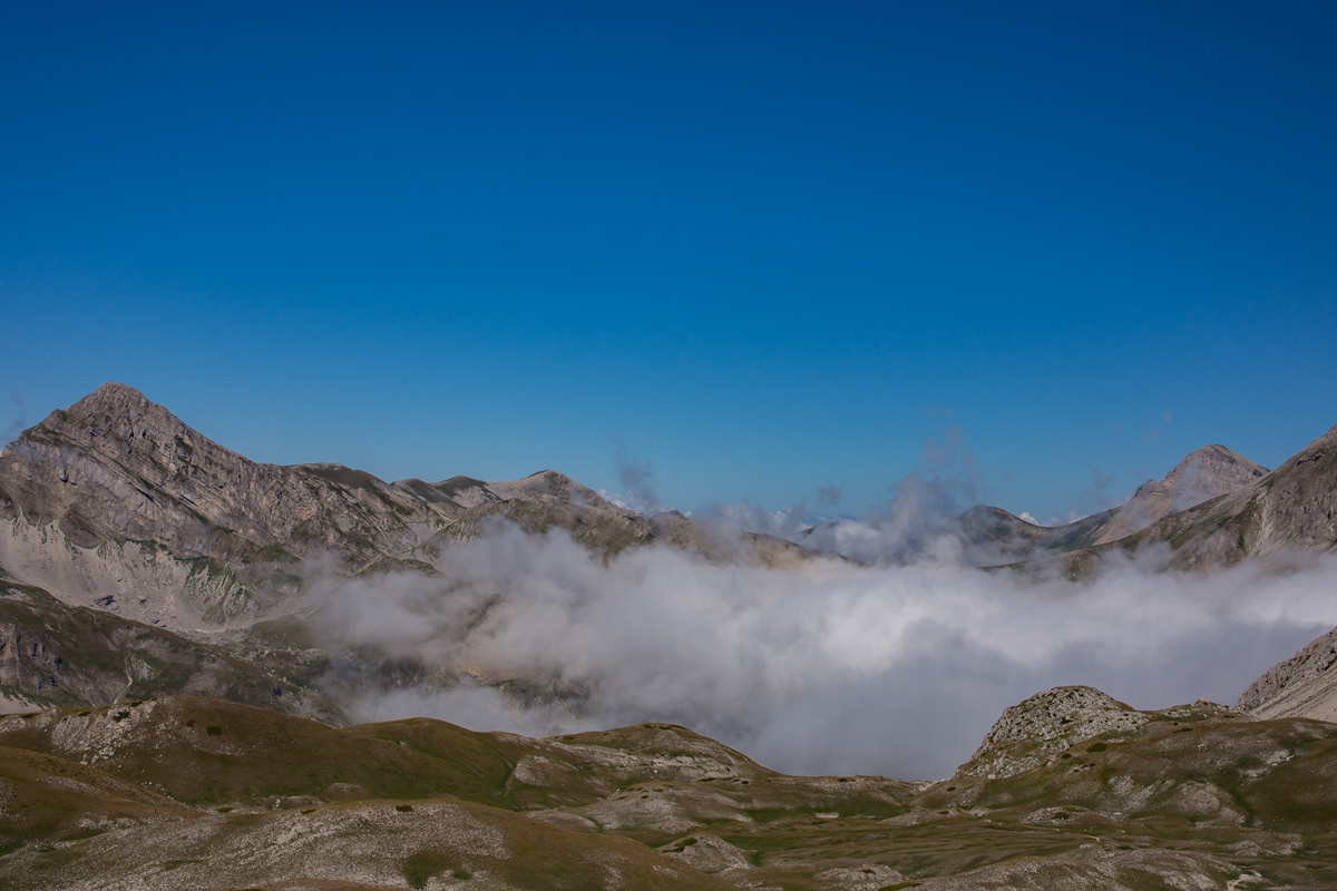
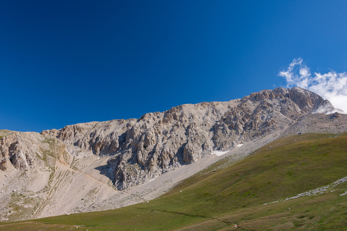
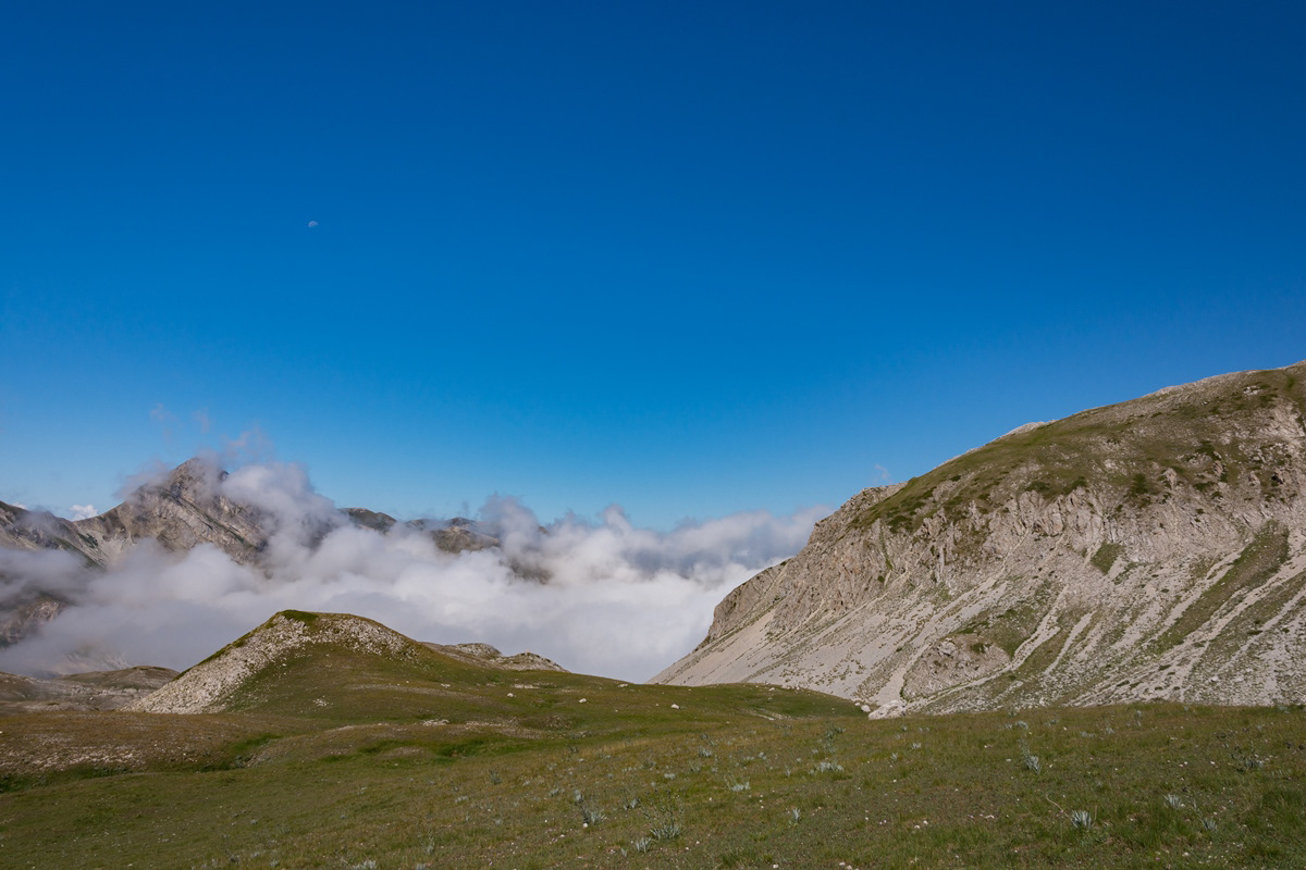
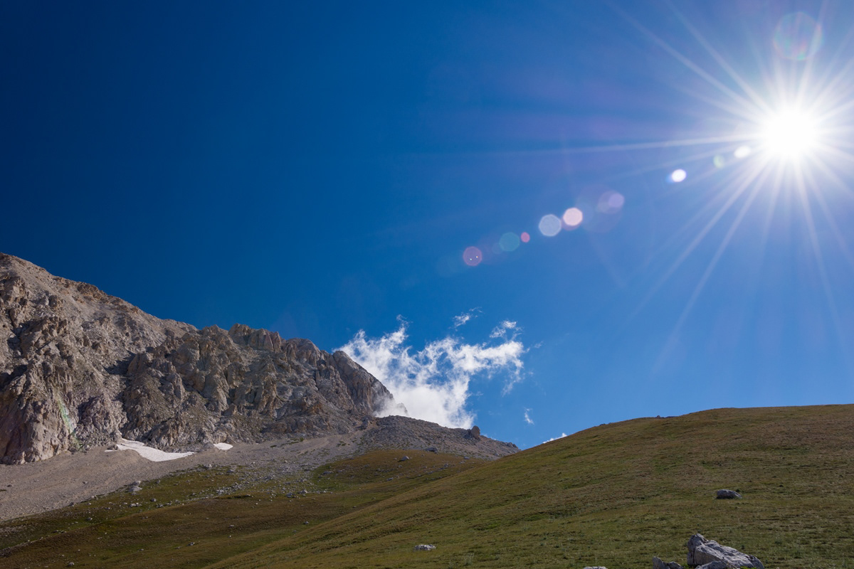
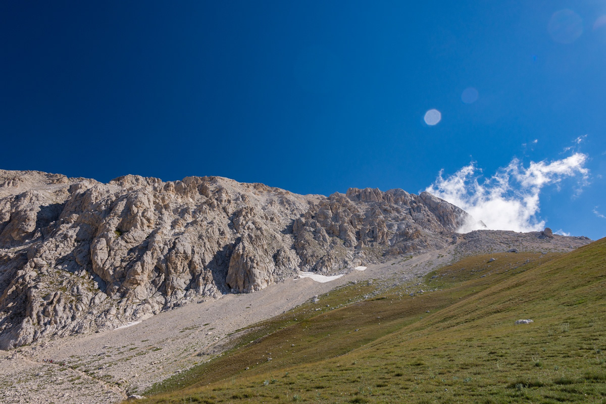
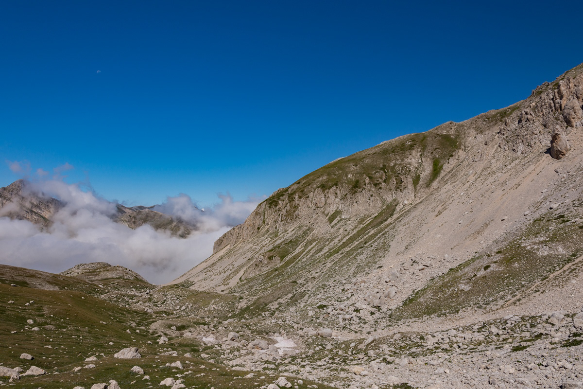
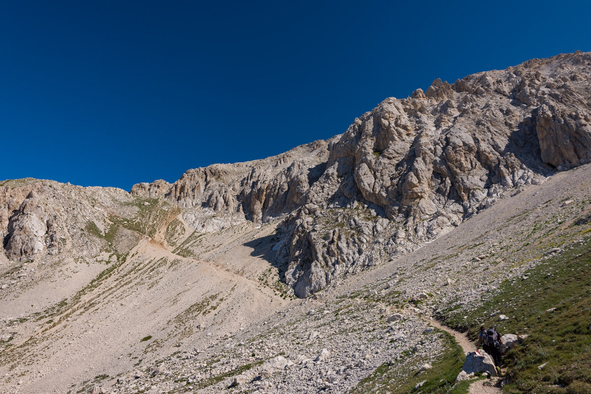
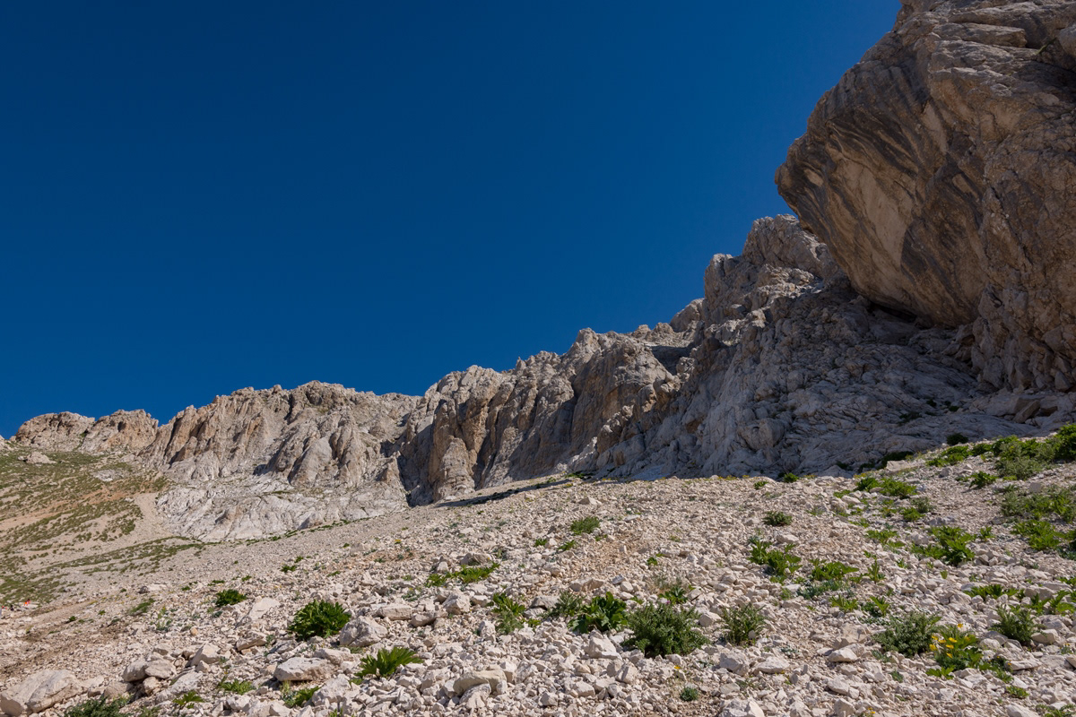
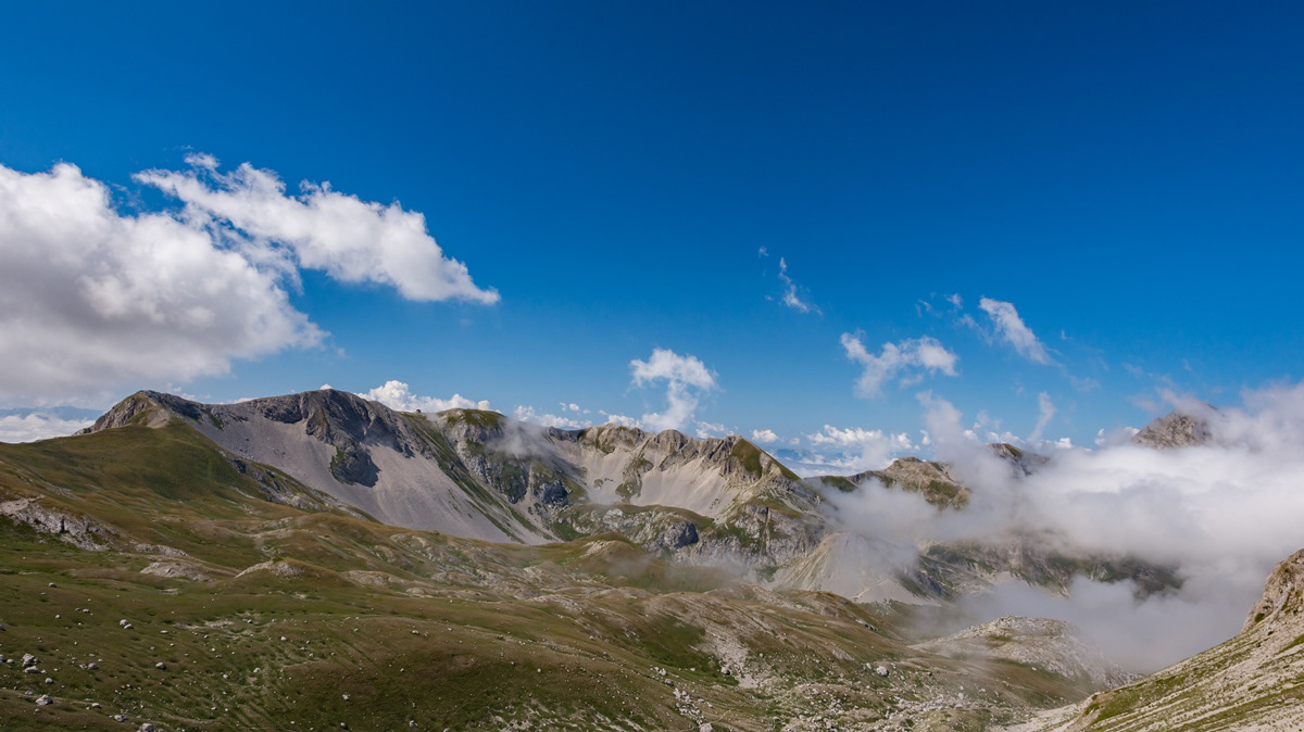
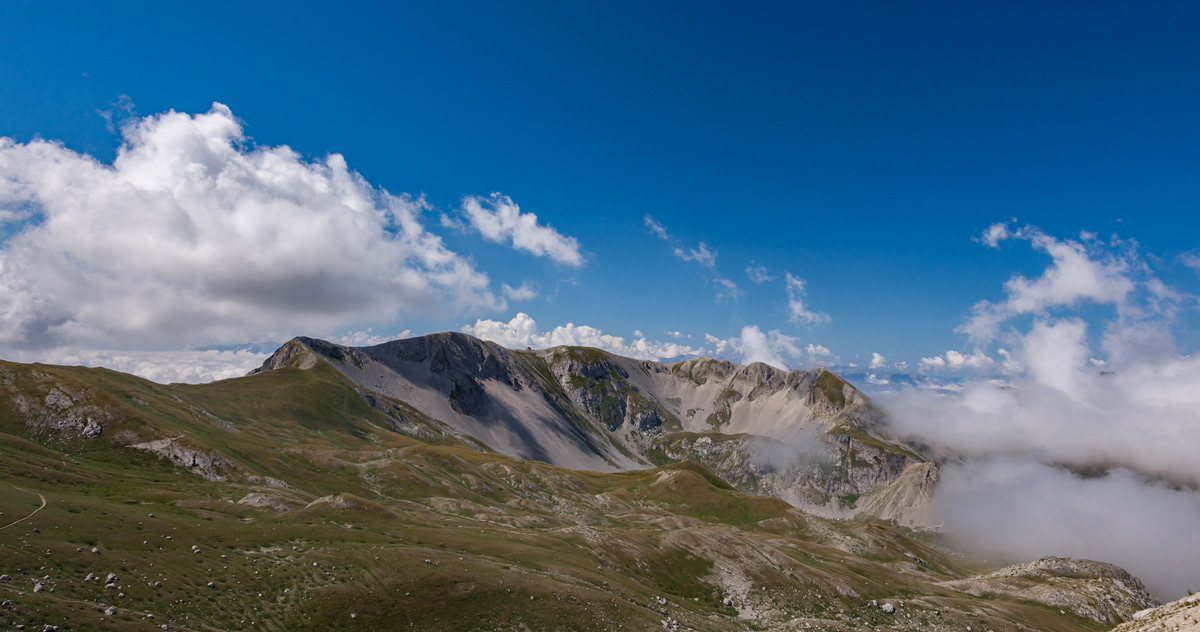
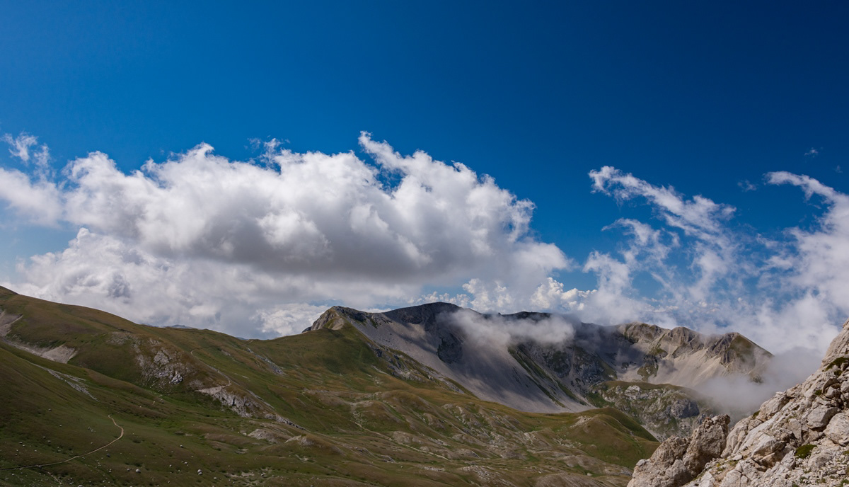
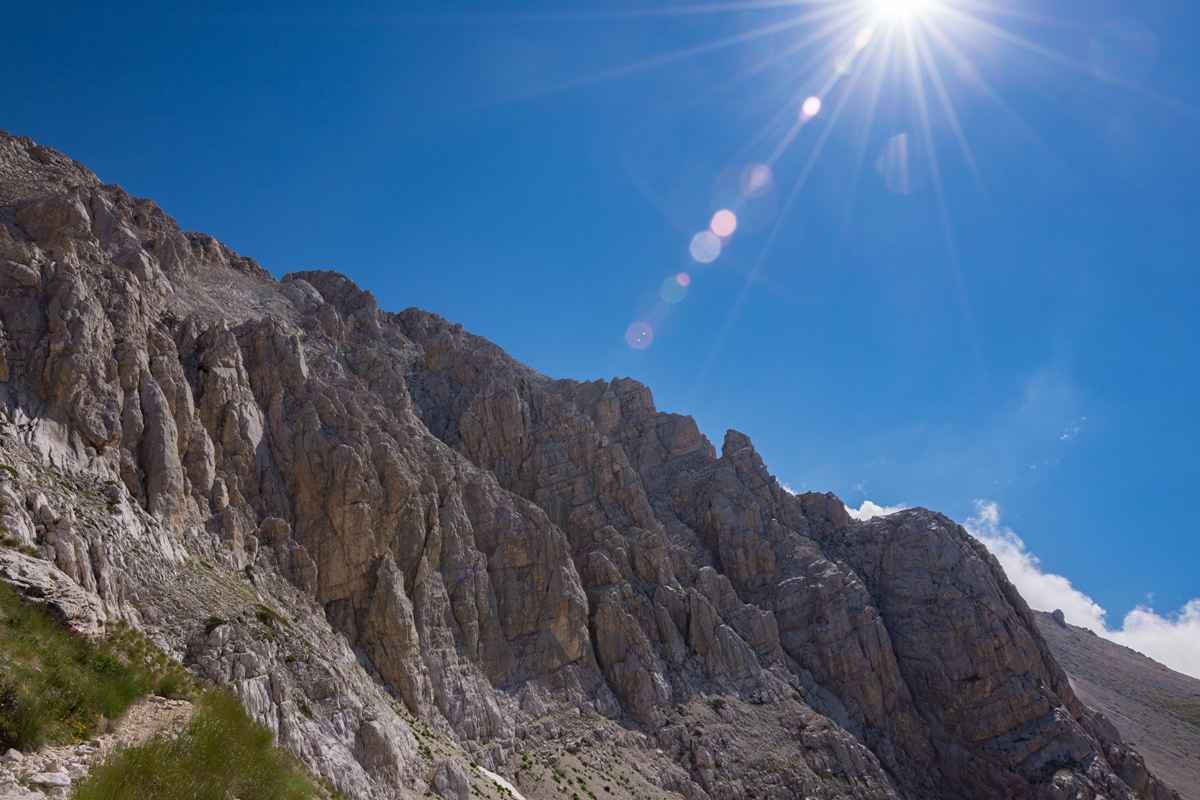
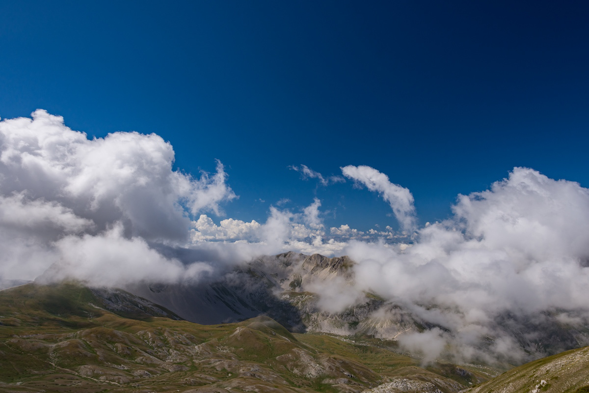
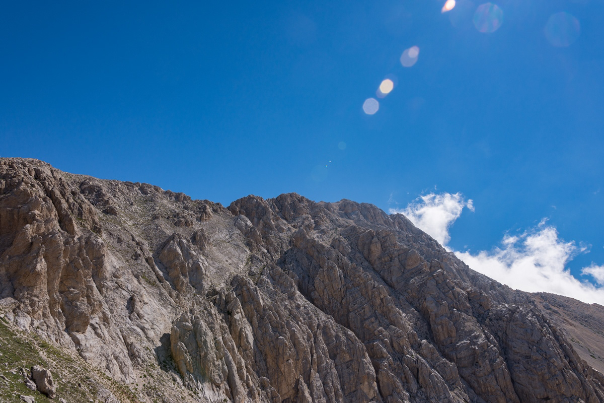
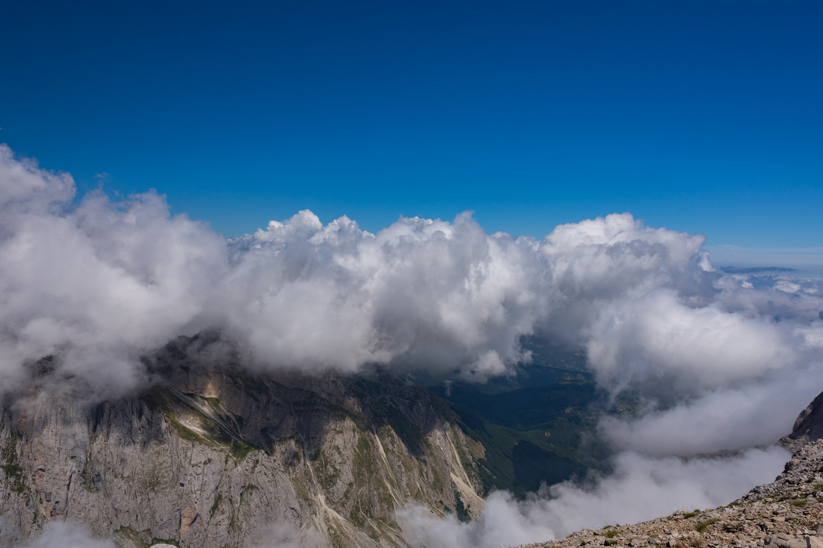
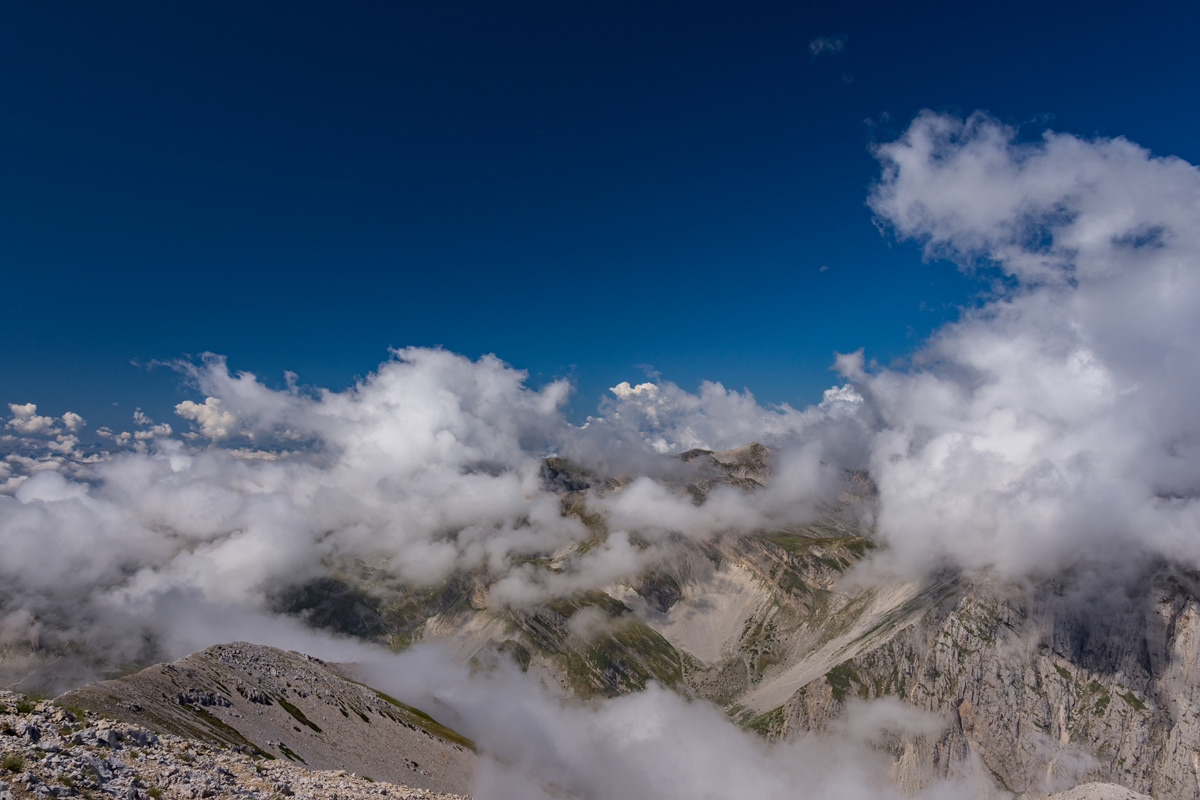
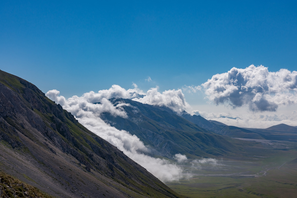
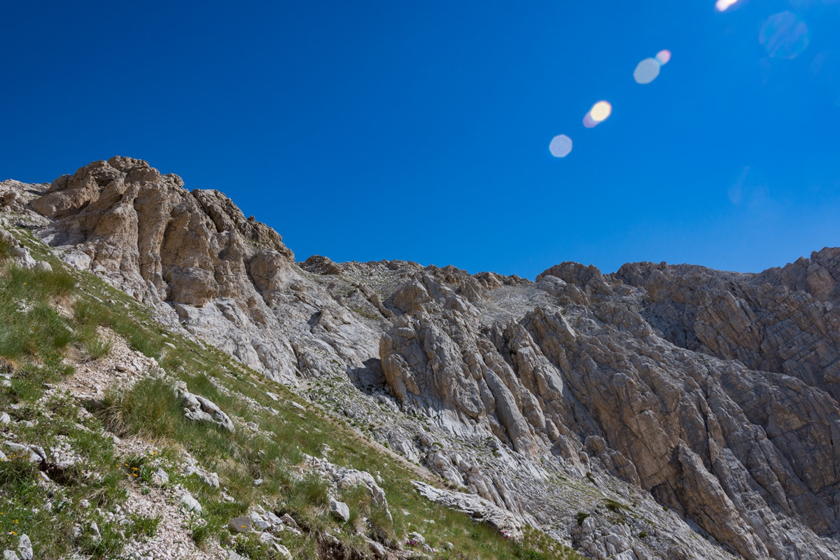
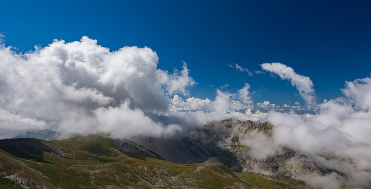
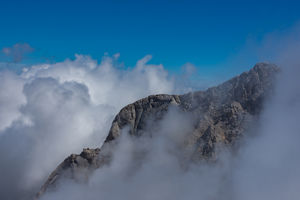
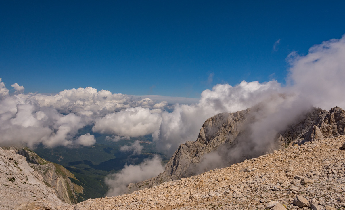
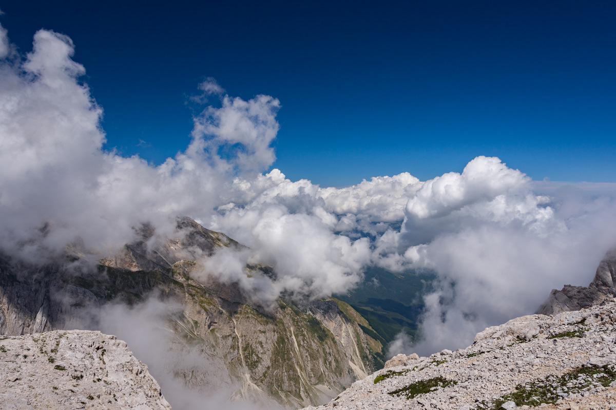
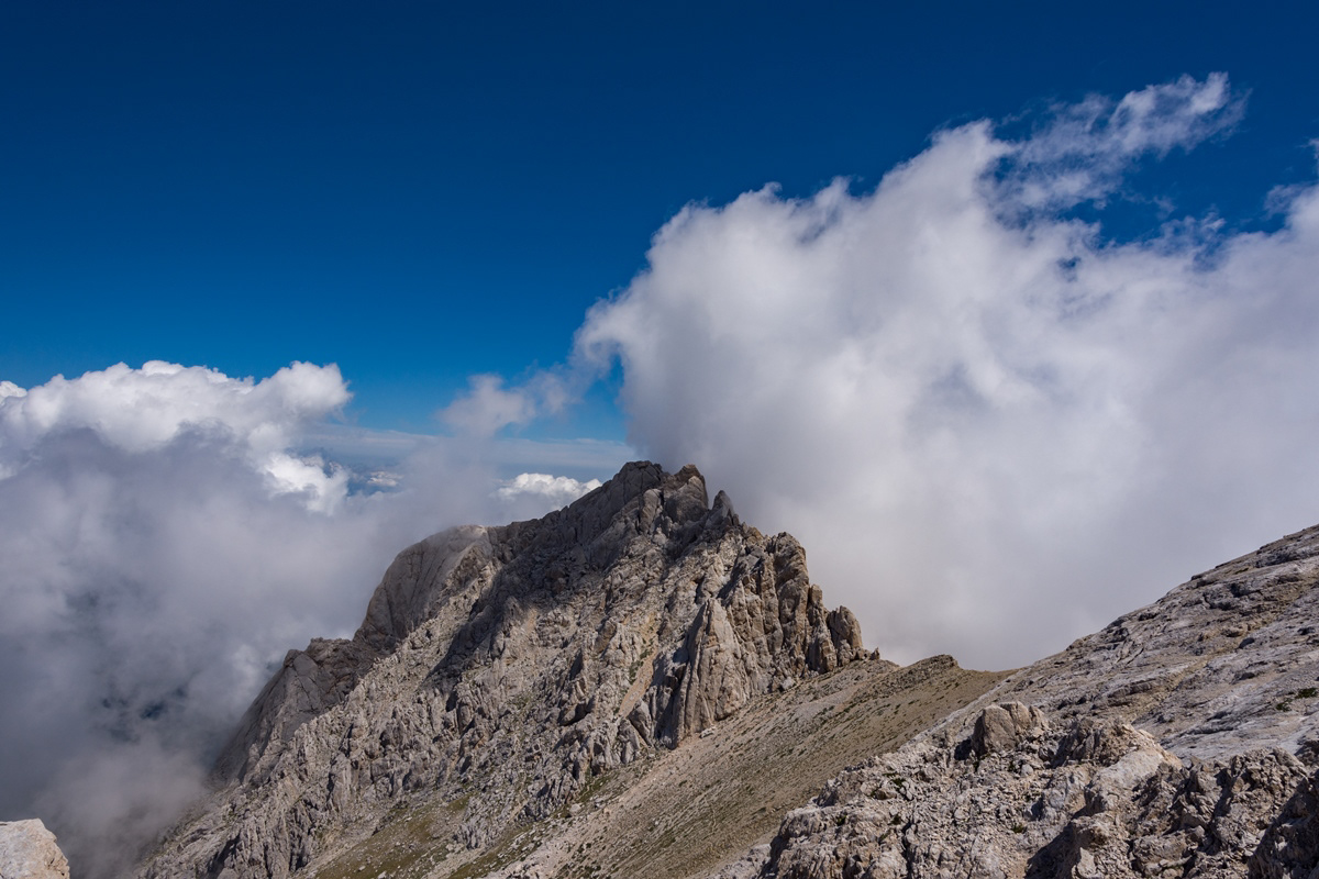
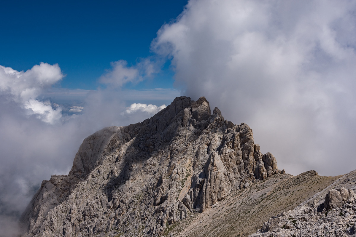
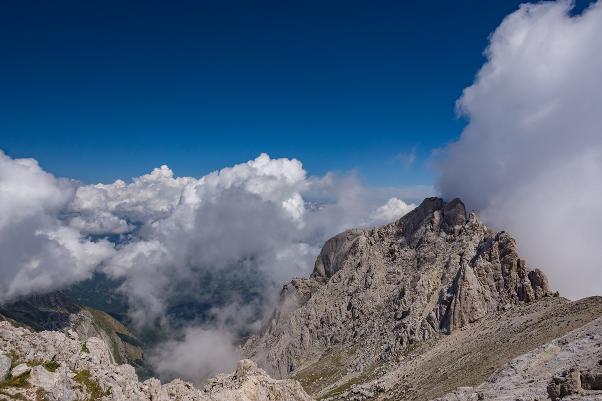
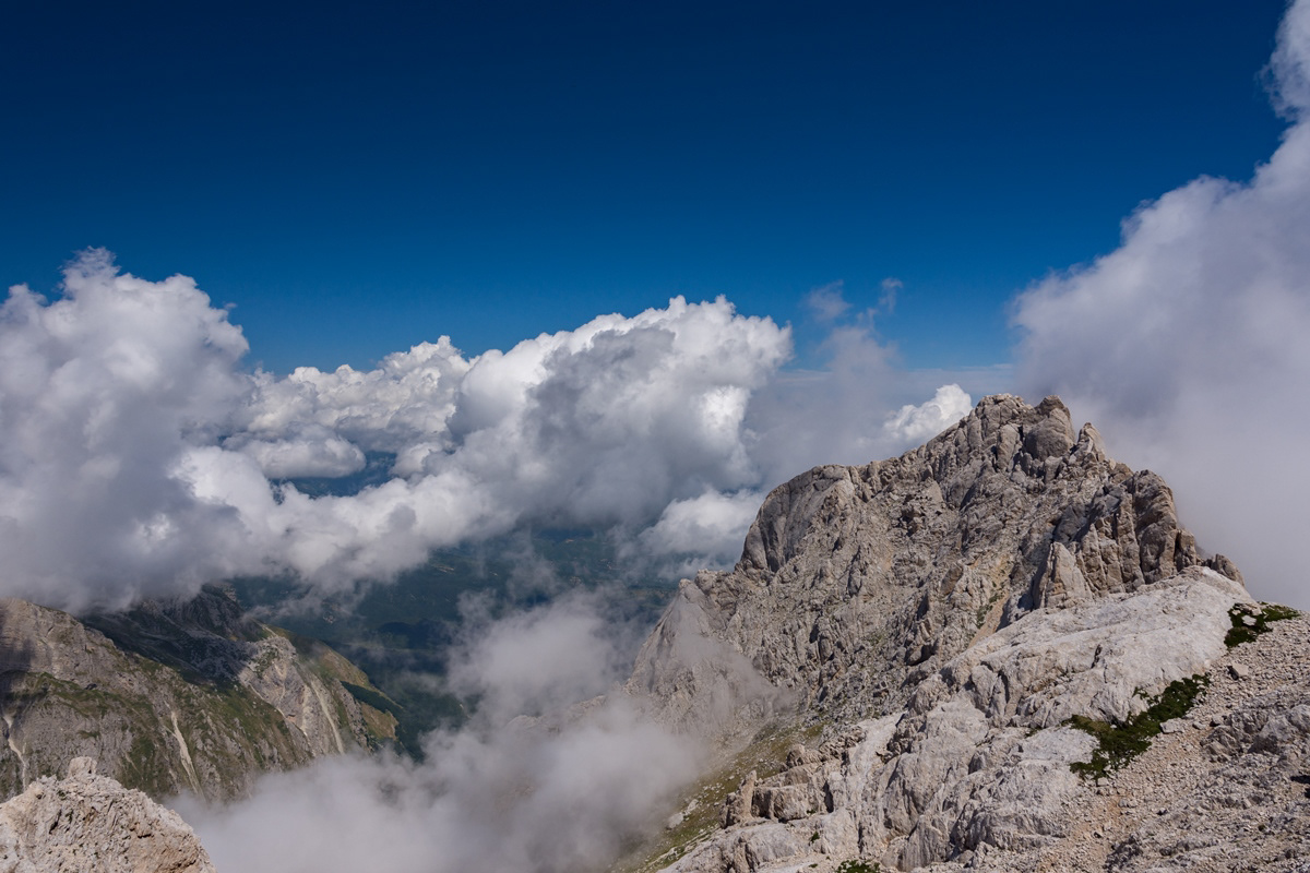
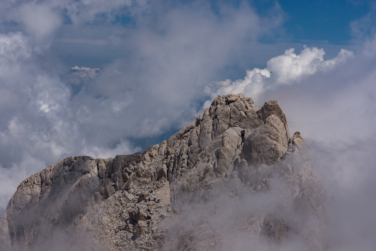
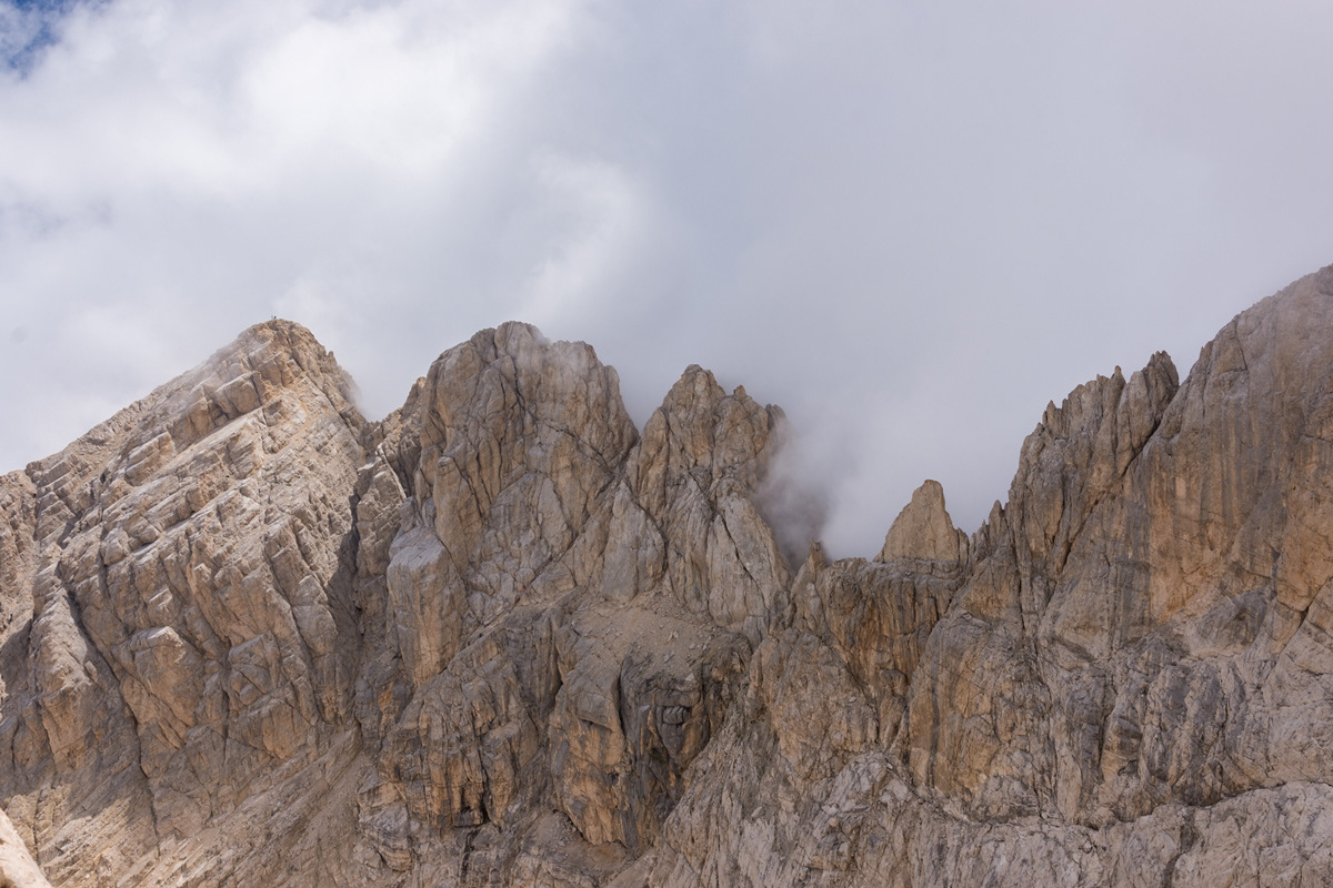
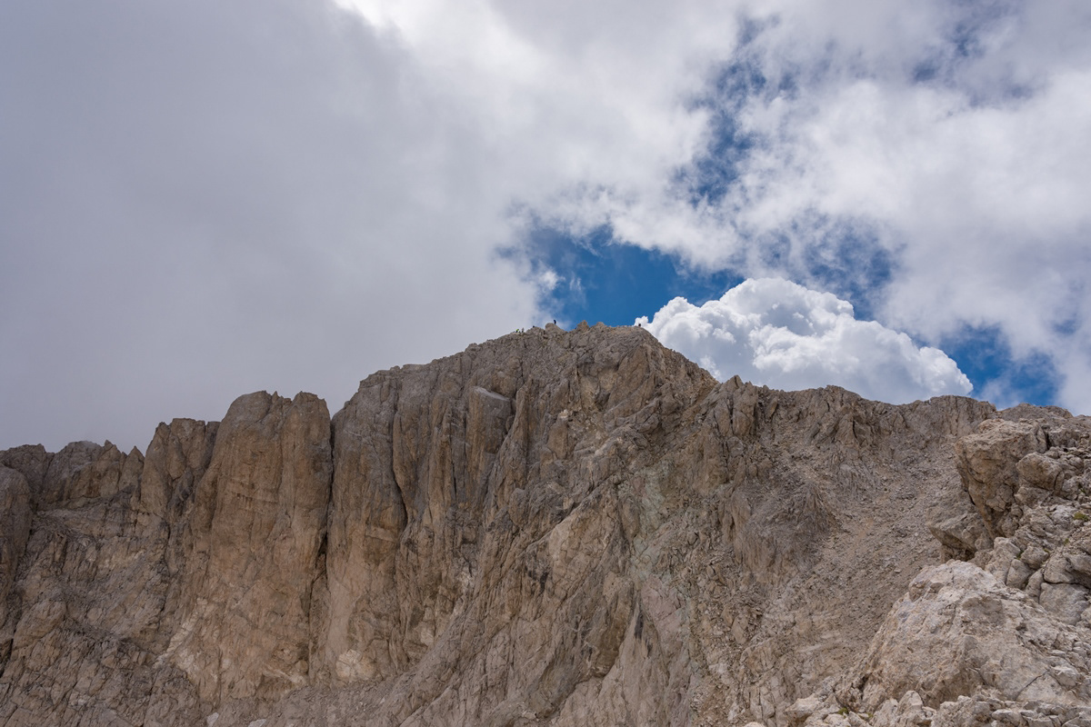
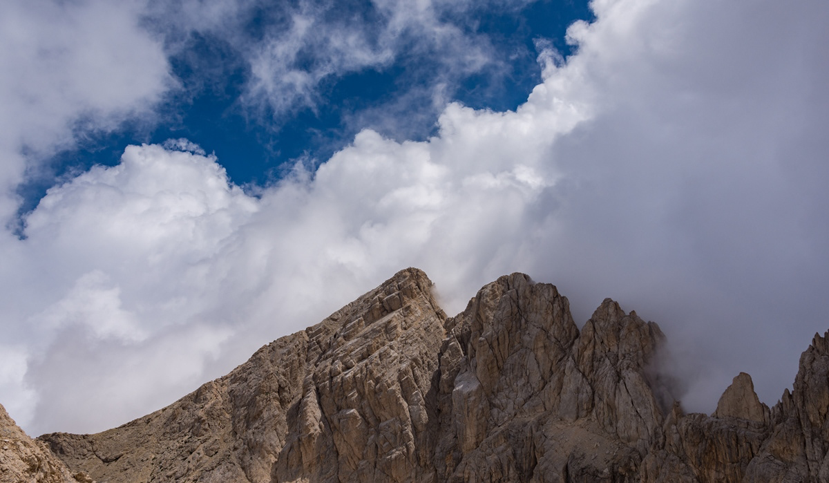
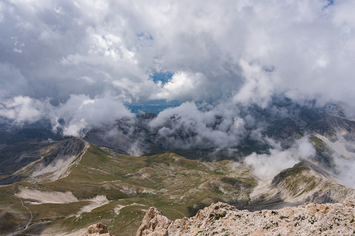
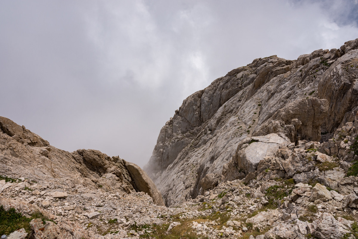
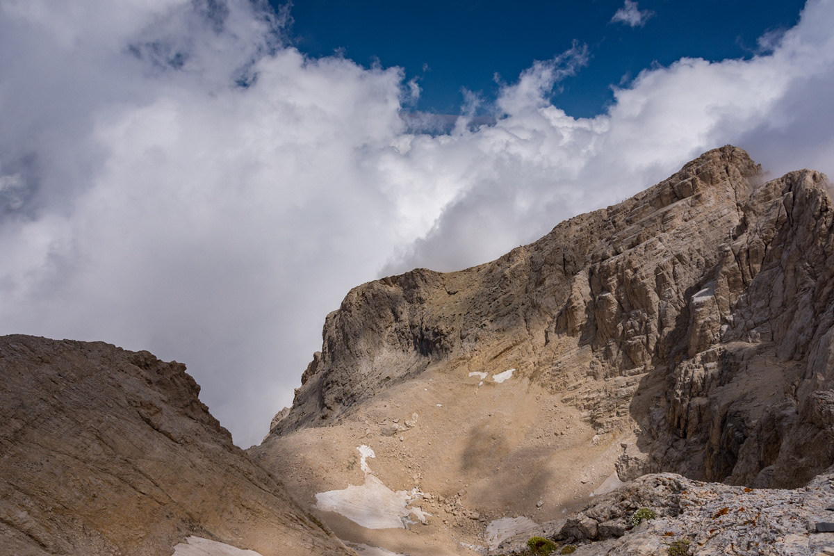
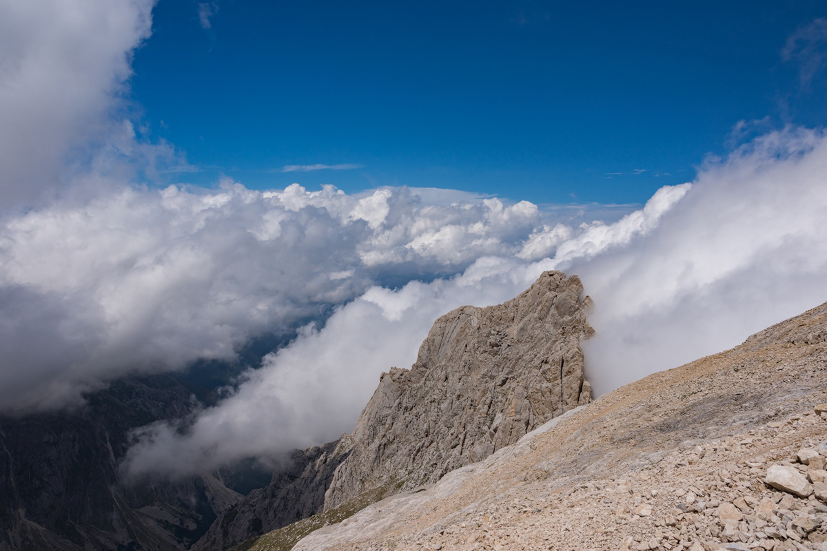
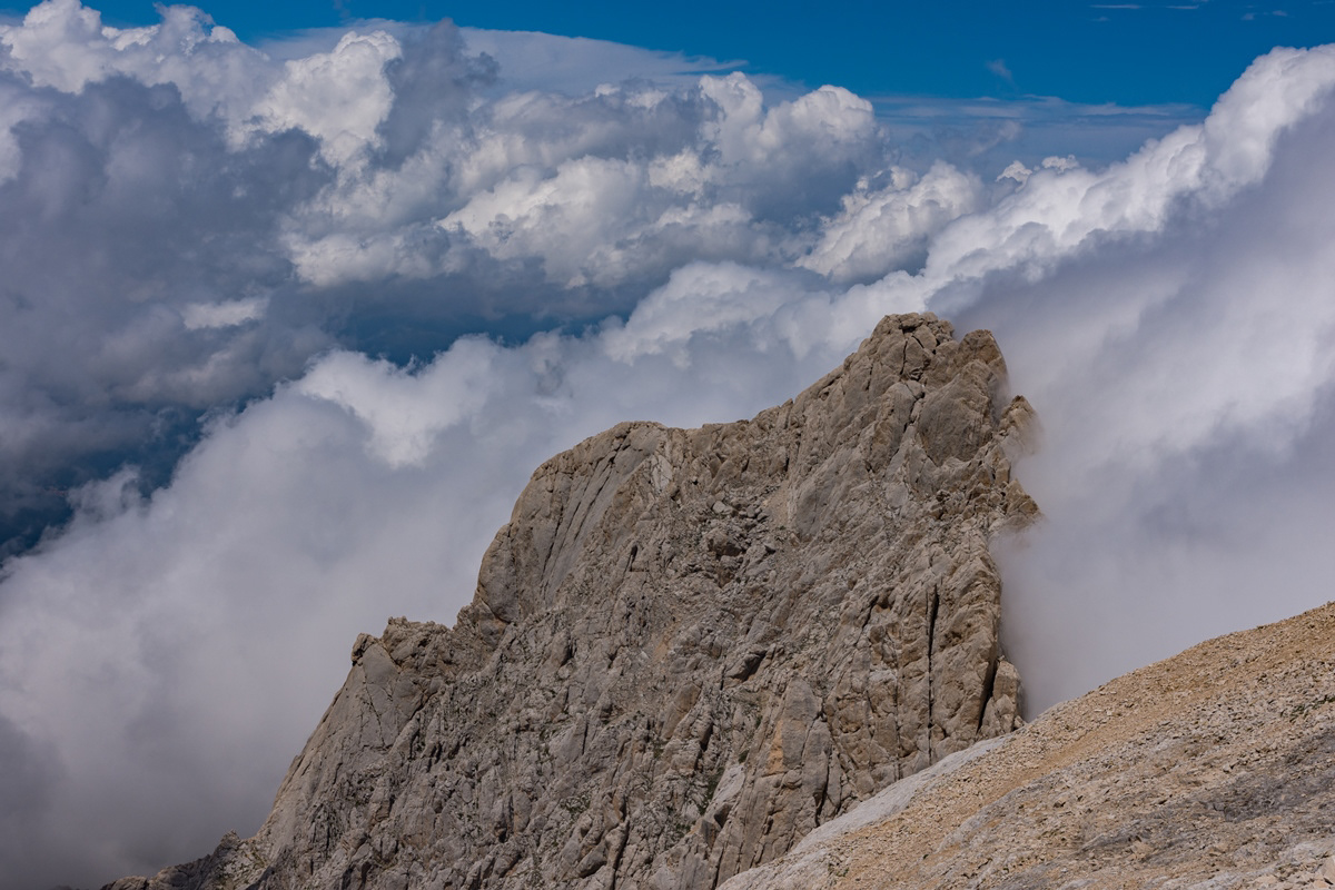
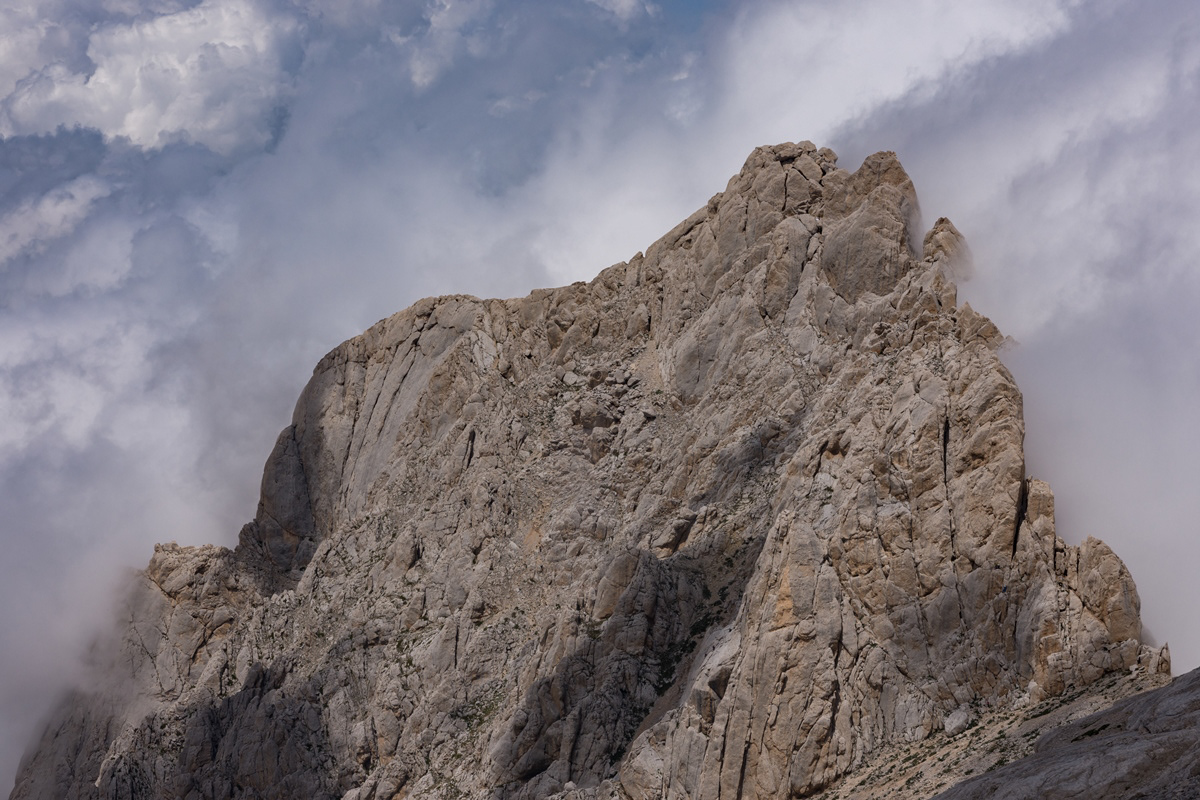
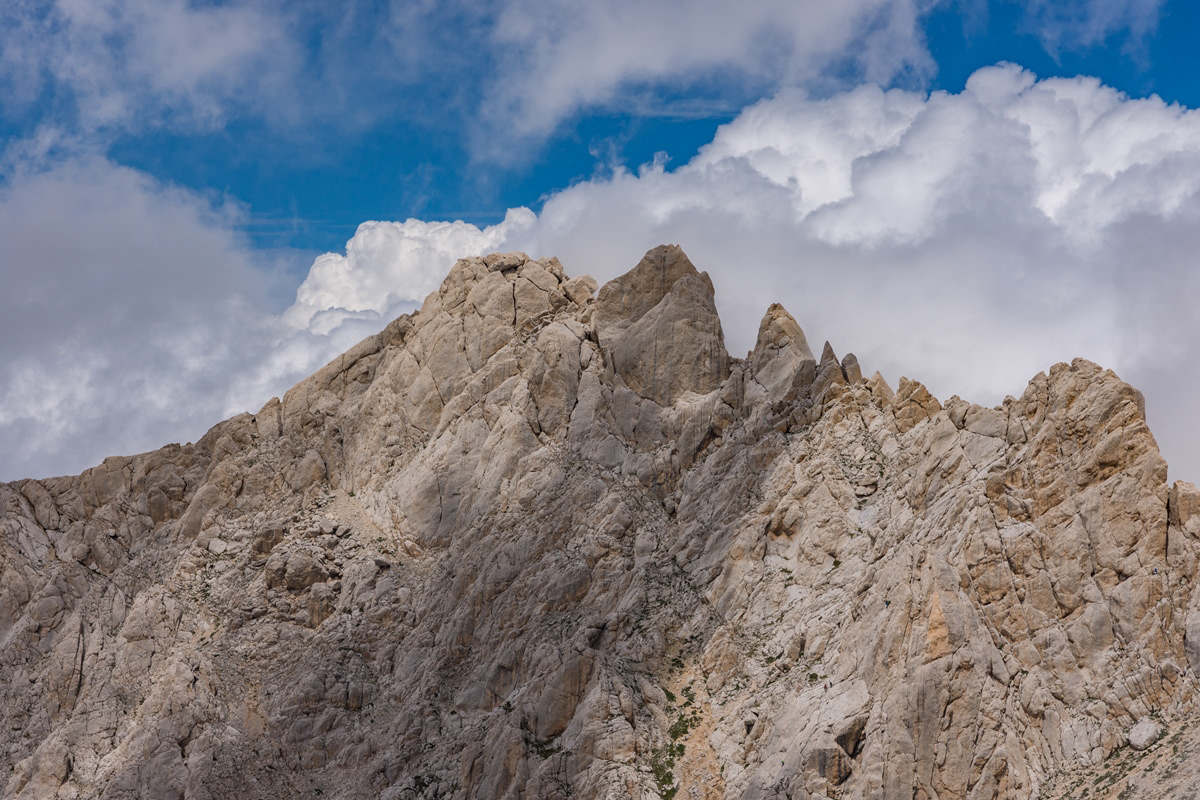
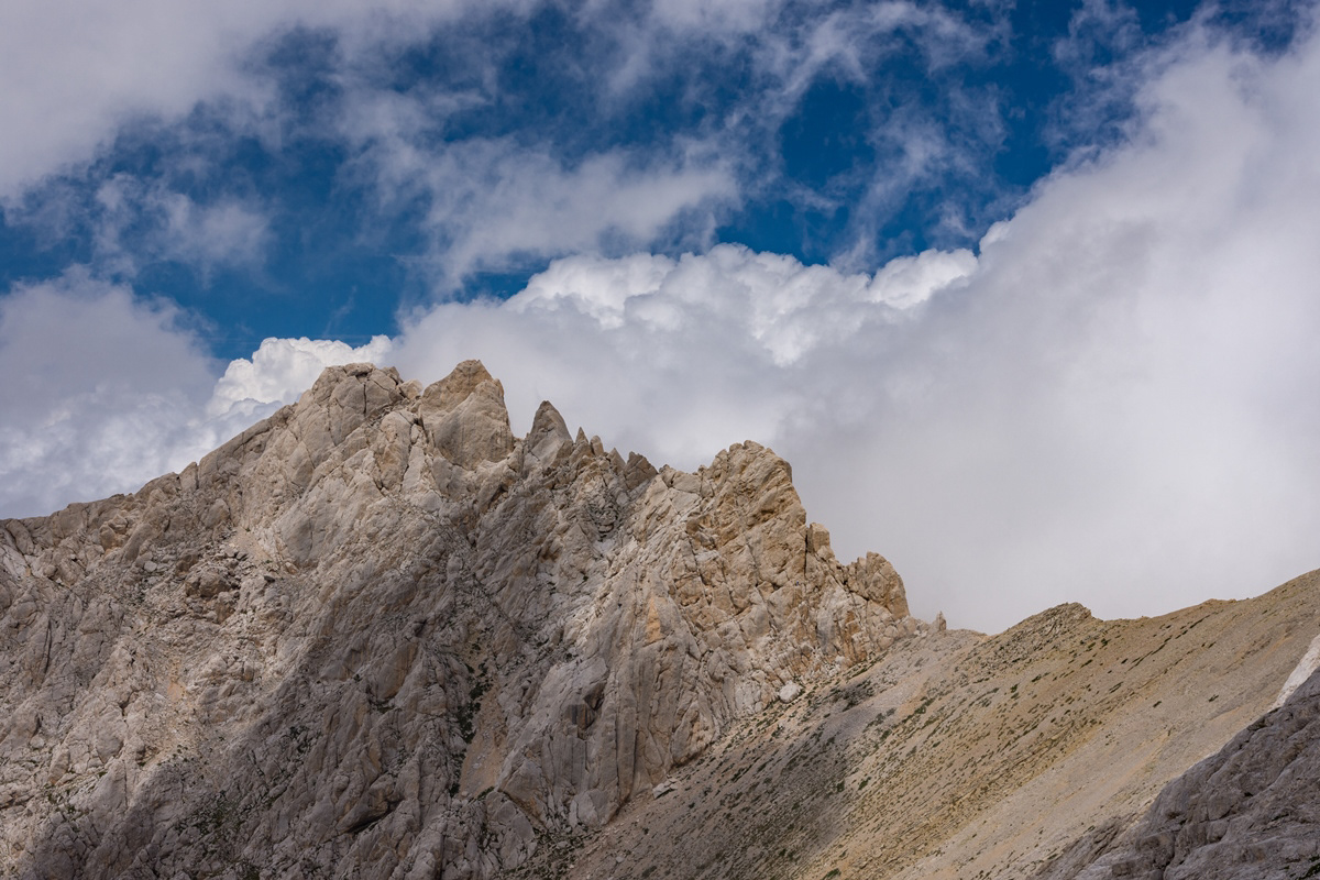
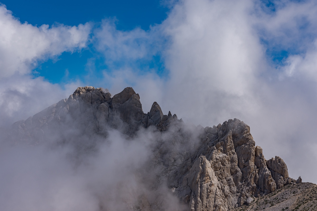
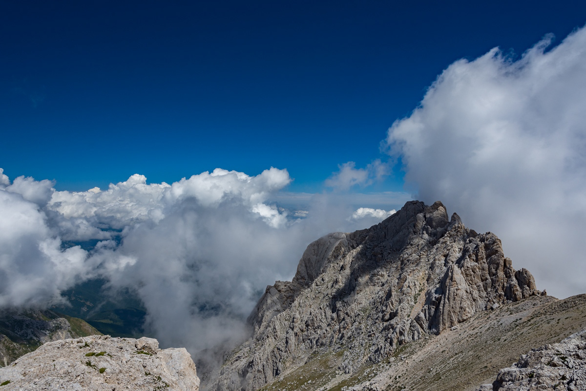
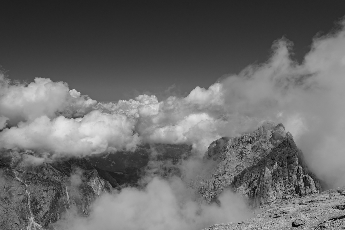
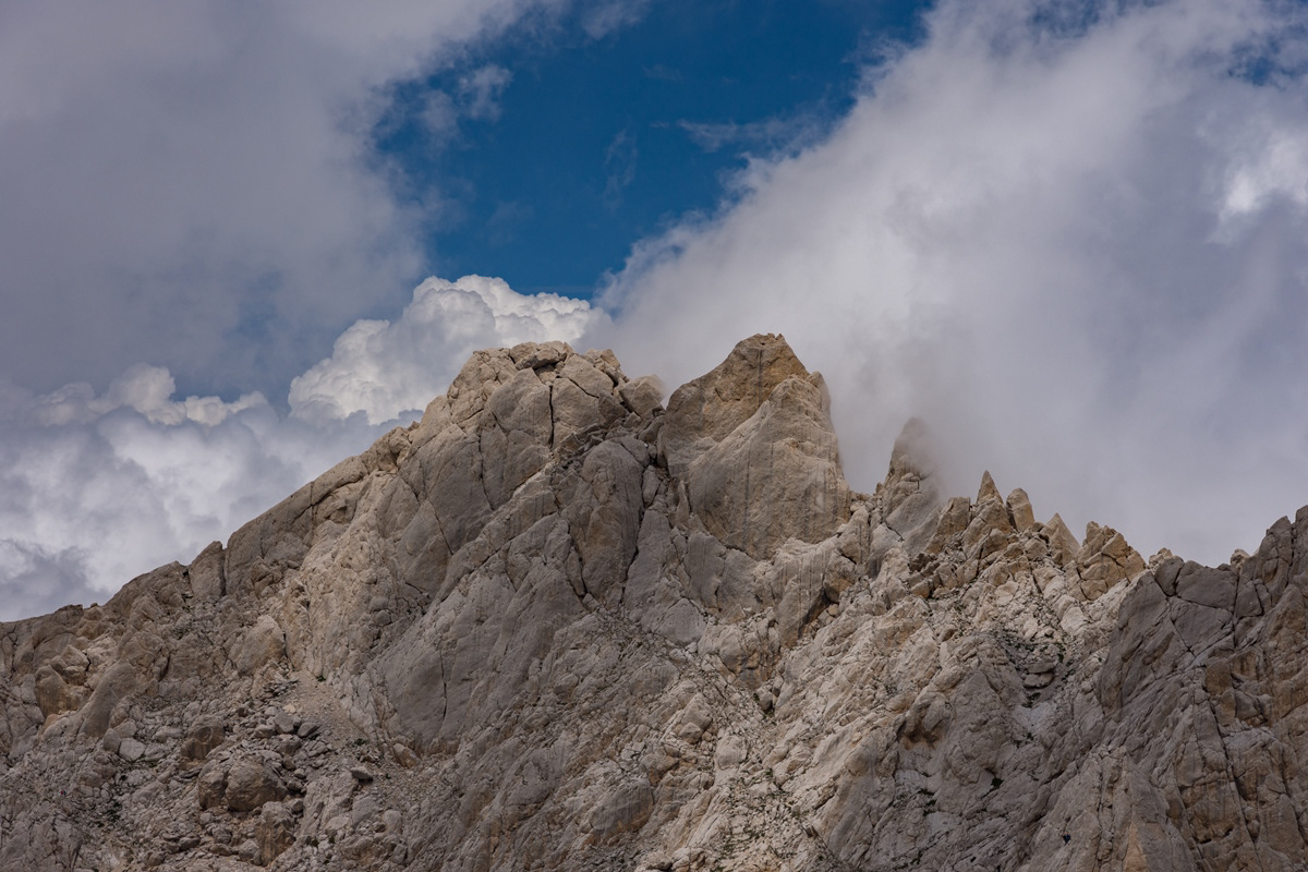
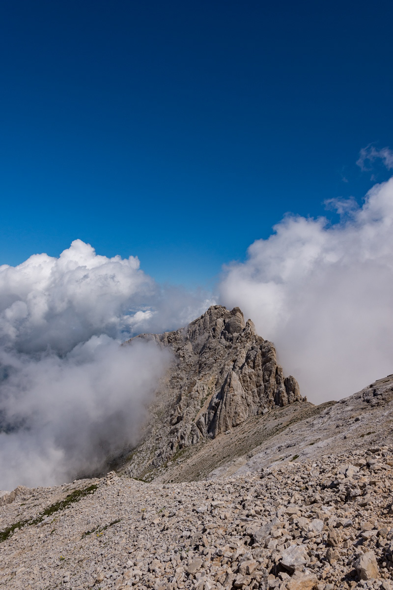
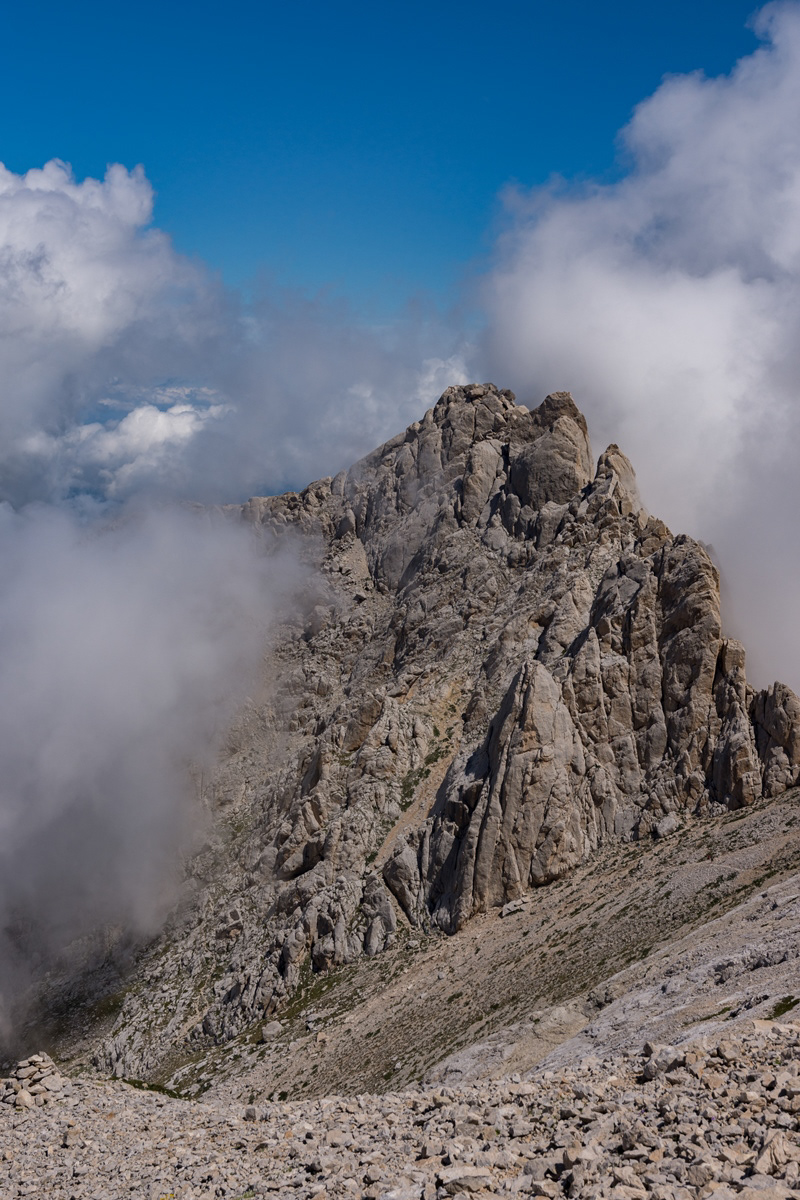
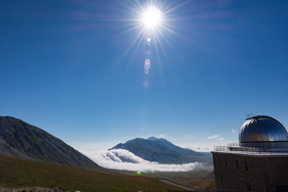
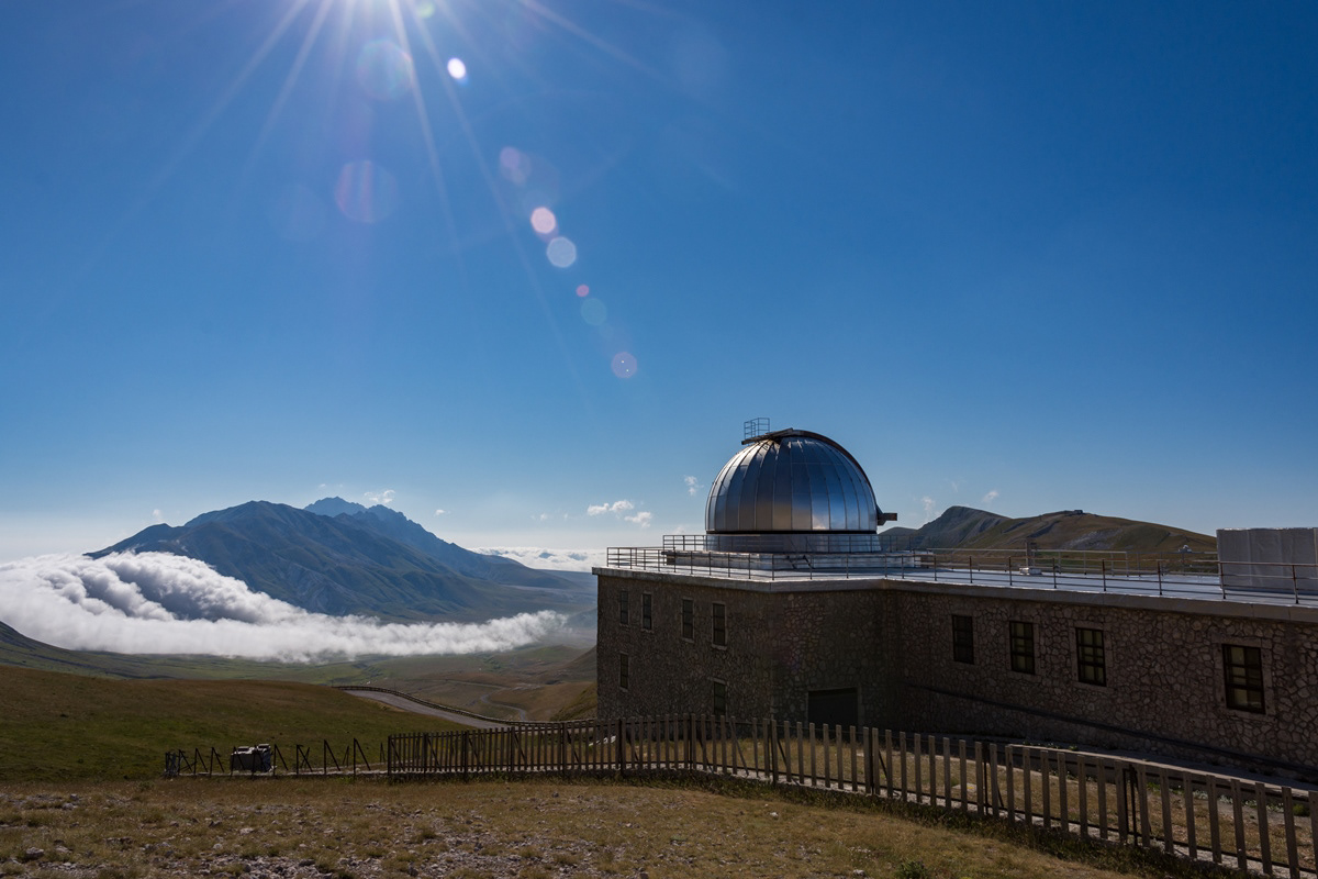
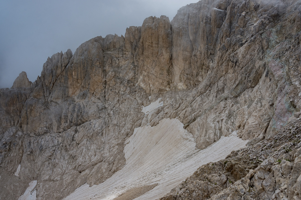
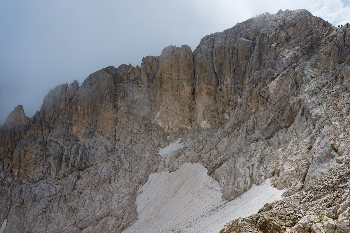
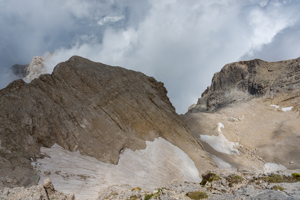
You may also like

2025
The Orfento Gorge, Caramanico Terme
The Orfento Valley is undoubtedly one of the most evocative places in the Maiella National Park: the clear water, the small waterfalls, the sound of the river and nature make the walk a unique experience. The trail begins with a wide view of the gorge from above and then descends into the lush river vegetation with intense and wonderful colors. The route is made even more evocative by a continuous succession of small clearings, waterfalls, and wooden bridges that repeatedly cross the river. The Orfento Gorge was the reserve where, in the 1980s, deer and roe deer were reintroduced for the first time, now present throughout the Maiella National Park. The world's leading scientific journal, Nature, has used this valley as a global example of its rich biodiversity. Nearby are ancient hermitages, silent guardians of faith and time, such as the hermitage of San Giovanni all'Orfento. These sacred places, nestled in the rock and surrounded by greenery, were a refuge for saints and hermits, including Pope Celestine V, who found spirituality and solitude in these valleys. Their echoes still resonate through the woods and gorges, giving those who walk there a sense of profound peace and connection with something eternal. An ancestral call that transforms the valley into a true natural sanctuary for the soul. Woods and mountains are natural medicine. Walking in nature helps us combat many ailments linked to a hectic and stressful lifestyle. Our simple walks are a way to get closer to nature, while also providing educational insights into the wonders of Abruzzo.
2018
L'Aquila
L'Aquila (IPA: / ˈlakwila /, pronunciation, formerly Aquila until 1863 and Aquila degli Abruzzi until 1939) is an Italian town of 69 284 inhabitants, capital of the province of the same name and of the Abruzzo region. The city is located in the Abruzzo hinterland on the slope of a hill to the left of the Aterno river, in a predominant position with respect to the Gran Sasso massif, the homonymous basin and the Aterno valley, on an area of 467 km² which make it the ninth largest municipality in Italy. Divided into 59 districts and hamlets, part of its territory is included in the Gran Sasso and Monti della Laga national park and reaches over 2,000 meters above sea level.
2023
Sulmona. Church of San Filippo Neri
The construction of the church and oratory of San Filippo Neri began in the mid-17th century and was completed in 1677. However, in the beginning the congregation was based - together with that of the Jesuit Fathers - in the church of Sant'Ignazio , located in Piazza XX Settembre and no longer existing today; only later did it move to Piazza Maggiore - the current Piazza Garibaldi - within the lively and populous Borgo Pacentrano. The earthquake of 1706 forced a reconstruction of the complex, which Baron Giambattista Mazara magnanimously took charge of between 1785 and 1794, deserving the commemorative plaque placed on the right wall of the church; the adjoining convent had to assume considerable decorum, so much so that in 1796 it was even able to host King Ferdinand IV of Bourbon on a visit to the city. In 1799, with the suppression of the Filipino order, the Fathers left the city and the sacred building, abandoned and reduced to profane use, was transformed into an oven and also used for military purposes. Likewise, the oratory, confiscated by the Royal Property, had various uses and today is the headquarters of the Command of the Guardia di Finanza. Only in 1920 did the church regain its religious use, becoming the seat of the parish of Sant'Agata. From here the traditional demonstration of the Madonna fleeing into the square begins on Easter morning, the joyful conclusion of Holy Week in Sulmona.
2018
L'Aquila - Basilica of S. M. di Collemaggio
The basilica of Santa Maria di Collemaggio is a religious building in L'Aquila, located just outside the city walls, on the hill of the same name. Founded in 1288 at the behest of Pietro da Morrone - crowned pope here with the name of Celestino V on 29 August 1294 - it is considered the highest expression of Abruzzo architecture, as well as the symbol of the city and was declared a national monument in 1902. Since 1327 houses the remains of the pontiff, currently preserved inside the mausoleum of Celestino V, built in 1517 by Girolamo da Vicenza, master of Andrea Palladio. It is the seat of an annual jubilee, the first in history, established with the Bull of Forgiveness of 29 September 1294 and known as Perdonanza Celestiniana; therefore, it is characterized by the presence of a Holy Door on the side facade. The church, which boasts the title of minor basilica together with the fellow citizens San Bernardino and San Giuseppe Artigiano, has been remodeled several times over the centuries mainly due to the damage caused by frequent earthquakes and presents a mixture of different architectural styles. Following the 2009 earthquake, it was subjected to consolidation and restoration works which ended in 2017.
2023
Fara San Martino. The Gorges of San Martino
the Gole di San Martino opens with a narrow passage from the high rocky walls on the eastern slope of the Maiella, just outside the town of Fara. This is the beginning of the gorge-like valley that leads to the highest peak of the Maiella, Monte Amaro (2793 m), and includes the wildest territories of the entire massif with a 14 km long route and a difference in height of 2300 m . It can be divided into three parts: the Valle di S. Spirito, the Valle di Macchia Lunga and the Val Cannella. The latter ends with a glacial cirque in the center of which is the Manzini refuge. According to popular tradition, these suggestive gorges, just 2 m wide and about 30 m long, were opened by San Martino with the strength of his arms to allow the people of Fares to access the high pastures of the Majella more quickly. After walking a few meters, you can see the monastery of San Martino in Valle which an archaeological excavation has recently brought to light. In reality, this remarkable scenario was produced by the erosive and incessant action of the torrential waters coming from the melting of the surrounding snowfields during the Quaternary, in particular during the glaciations. With an evident franapoggio stratification that highlights the oldest terms as you go up, the oldest rocks of the Maiella emerge here, represented by beige-hazelnut platform limestones dating back to the lower Cretaceous. They contain fossil remains of algae and benthic foraminifera. Near the monastery, it is possible to observe an outcrop full of rudists, lamellibranchs who build cliffs now extinct but clearly visible in Maiella on Cima Murelle.
2018
Rocca Calascio (AQ)
Rocca Calascio is a fortress located in Abruzzo, in the province of L'Aquila, in the territory of the municipality of Calascio, at an altitude of 1450 meters above sea level, just above the town. It is included in the Gran Sasso and Monti della Laga National Park. It is known for the presence of the castle, one of the highest in Italy, and the ancient medieval village below, still inhabited by some inhabitants. The Rocca is considered one of the symbols of Abruzzo. The foundation of the fortress is probably due to the will of King Ruggero d'Altavilla after the Norman conquest of 1140 with a prevalent sighting function, even if the first historical document attesting its presence is dated 1239. It was part of Calascio, Castelvecchio Calvisio, Carapelle Calvisio and Santo Stefano di Sessanio of the famous Barony of Carapelle, whose historical events he followed until 1806, the year of the abolition of feudality. Over the centuries, the Pagliara, Plessis, Colonna, Celano, Caldora, Accrocciamuro, Todeschini Piccolomini, Del Pezzo, Cattaneo, Medici and Bourbon families followed one another in the domain. In particular, in 1463 it was granted by King Ferdinand to Antonio Todeschini of the Piccolomini family who modified the fortification by equipping it with a pebble wall and four cylindrical towers for military use, with a Ghibelline battlements. In 1703 it was devastated by a violent earthquake following which the highest area of ​​the village was abandoned and a large part of the population moved to the nearby town of Calascio. In the twentieth century, even the last remaining families left the village and the fortress remained uninhabited. At the end of the century, however, also in the wake of the success deriving from the setting of some films (above all Lady Hawke of 1985 and The Name of the Rose of 1986), some houses were recovered and others were converted to accommodation facilities; Furthermore, the castle has undergone an important restoration and consolidation operation and is now one of the main tourist attractions in the area, thanks to the work of two spouses and their family who have opened a widespread hotel just below the castle.
2024
Archaeological site of Alba Fucens
Alba Fucens is a site that arose in the 4th century BC in an elevated and well-fortified position, on approximately 34 hectares at 966 m above sea level, on the slopes of Mount Velino in Abruzzo.
2016
The Lake of Scanno (AQ)
Lake Scanno, belonging for three quarters to the municipality of Villalago and for a quarter to that of Scanno, is located in Abruzzo, in the lower province of L'Aquila, between the Marsicani Mountains, in the upper valley of the Sagittario river, which originated for a ancient landslide that broke off from Mount Genzana above, between 12,820 and 3,000 years ago, which blocked the river Tasso.
2022
Abruzzo, Italy. Spectacular landscapes
Abruzzo is an Italian region located east of Rome, between the Adriatic and the Apennines. The hinterland is mostly made up of national parks and nature reserves. The region also includes medieval and Renaissance villages perched on the hills. The regional capital, L'Aquila, is a city surrounded by walls, damaged by the earthquake of 2009. The Costa dei Trabocchi, with its sandy coves, takes its name from the traditional fishing jetties.
2024
Celano. Church of St. John the Baptist
Begun in the 13th century, it was completed in the 15th century. The rose window has the head of the Baptist in the center. The three internal naves are divided by octagonal pillars
Back to Top