Molise - S. Angelo in Grotte (IS)
2018
You may also like
2025
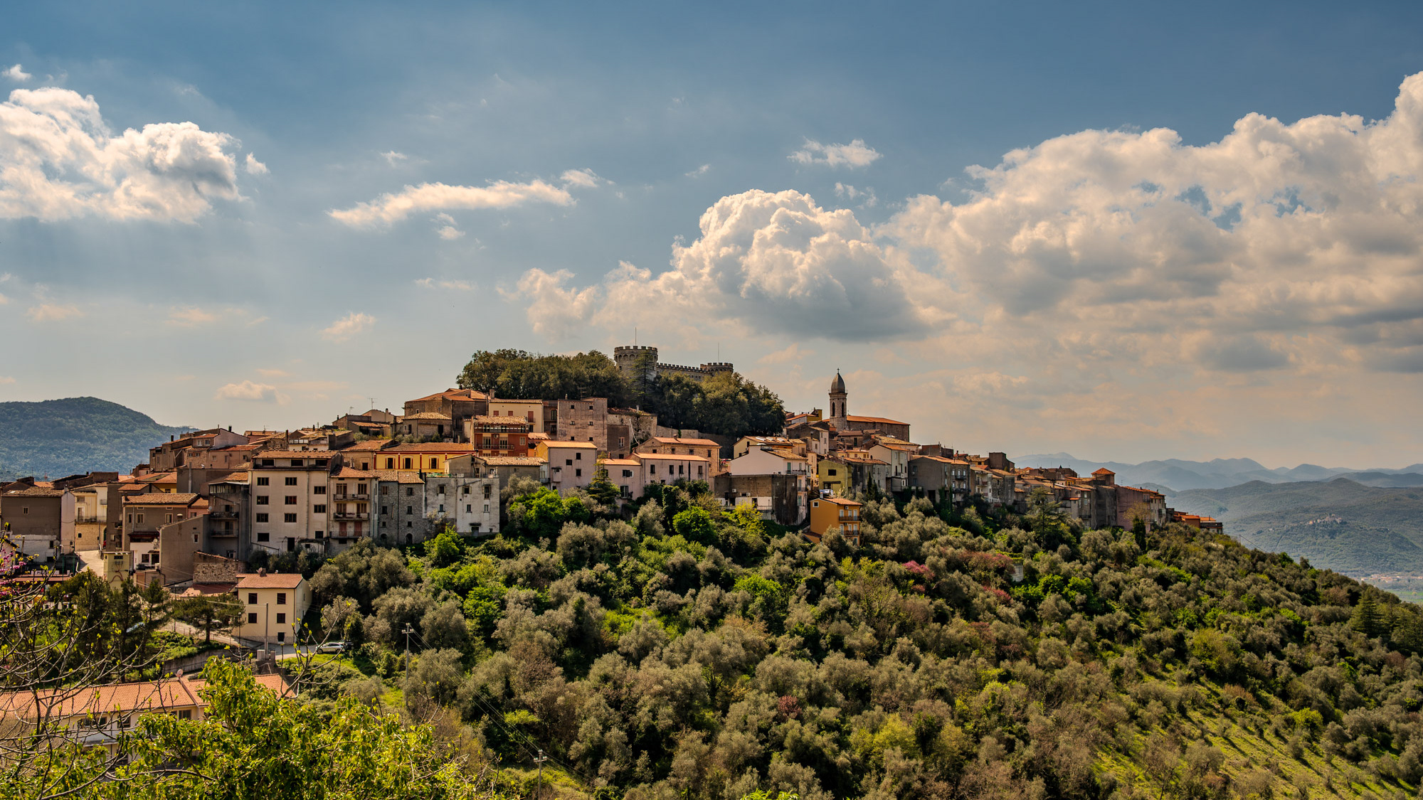
Monteroduni. Spectacular spring views
Monteroduni is an Italian town in the province of Isernia in Molise. Situated on a hill at about 460 meters in a very panoramic position, it stands out for its Pignatelli Castle.
2022
Rocchetta al Volturno
Rocchetta a Volturno is an Italian town of 1 098 inhabitants in the province of Isernia in Molise. The Municipality of Rocchetta al Volturno is made up of two nuclei: the original village, called Rocchetta Alta, or Rocchetta Vecchia, still perched in a defensive position on the mountain, and Rocchetta Nuova, which is located at a lower altitude. The new Rocchetta was born because, at the end of the 19th century, the slope that connected the southern part of the ancient town with the opposite hill was deforested and the land began to show serious subsidence from 1890 due to the progressive sliding of the superimposed layers of clay and sandstone, increased by water infiltrations, both rain and spring. In 1905, following further disastrous events, the population moved for the most part downstream, where there was a hamlet called Case Sparse. The modern town is developed today in the center of a plateau, bordered to the west by the terminal part of the Mainarde chain and to the east by a depression, at the bottom of which the Volturno flows; about two kilometers away are the sources of the river. Its name characterizes the toponyms of other nearby municipalities such as Colli a Volturno and Cerro al Volturno.
2023
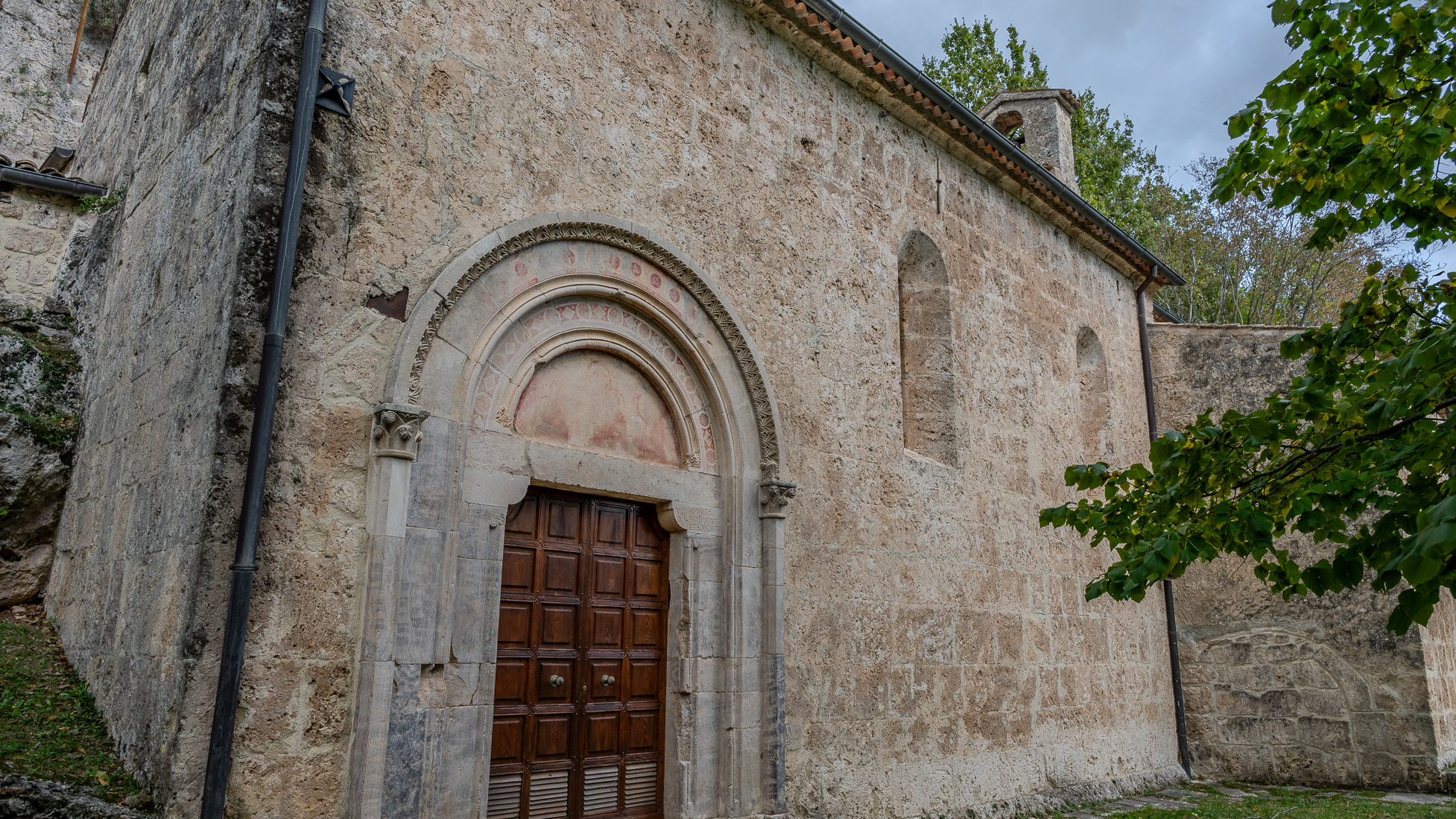
Rocchetta in Volturno. Sanctuary of S. M. delle Grotte
Of Benedictine architecture, between the 13th and 14th centuries the Sanctuary, which is flanked by a monastery, represents a complex of very significant religious importance.
2022
Capracotta. Parish Church of S. Maria in Cielo Assunta
It is located on the highest part of the town, in the Terra Vecchia district, and was the seat of the collegiate church. It is not known what the current church was like, which is the result of a total renovation in 1725. The antiquity of the church is testified by a bas-relief of the bell tower, which bears the symbol of the Tree of Life, from the Renaissance period, the adjacent walls, with the portal of the chapel of the Visitation, show holes for the bells. The stone bell tower, with a square plan, has its current appearance, the result of the restoration of 1898. The baptismal font in walnut wood, with gold decorations, restored in 1980, and a stone font can also be attributed to the archaic church. In the 18th century the civic coat of arms was moved to the main altar by the Town Hall, and the church became the symbol of the entire Capracottese community.
2025
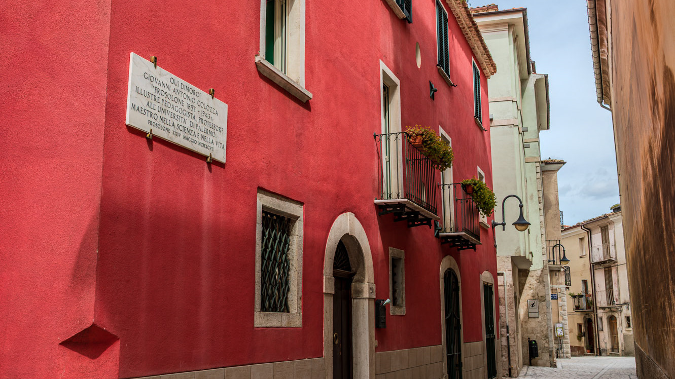
Frosolone. Glimpses of the historic center
2022
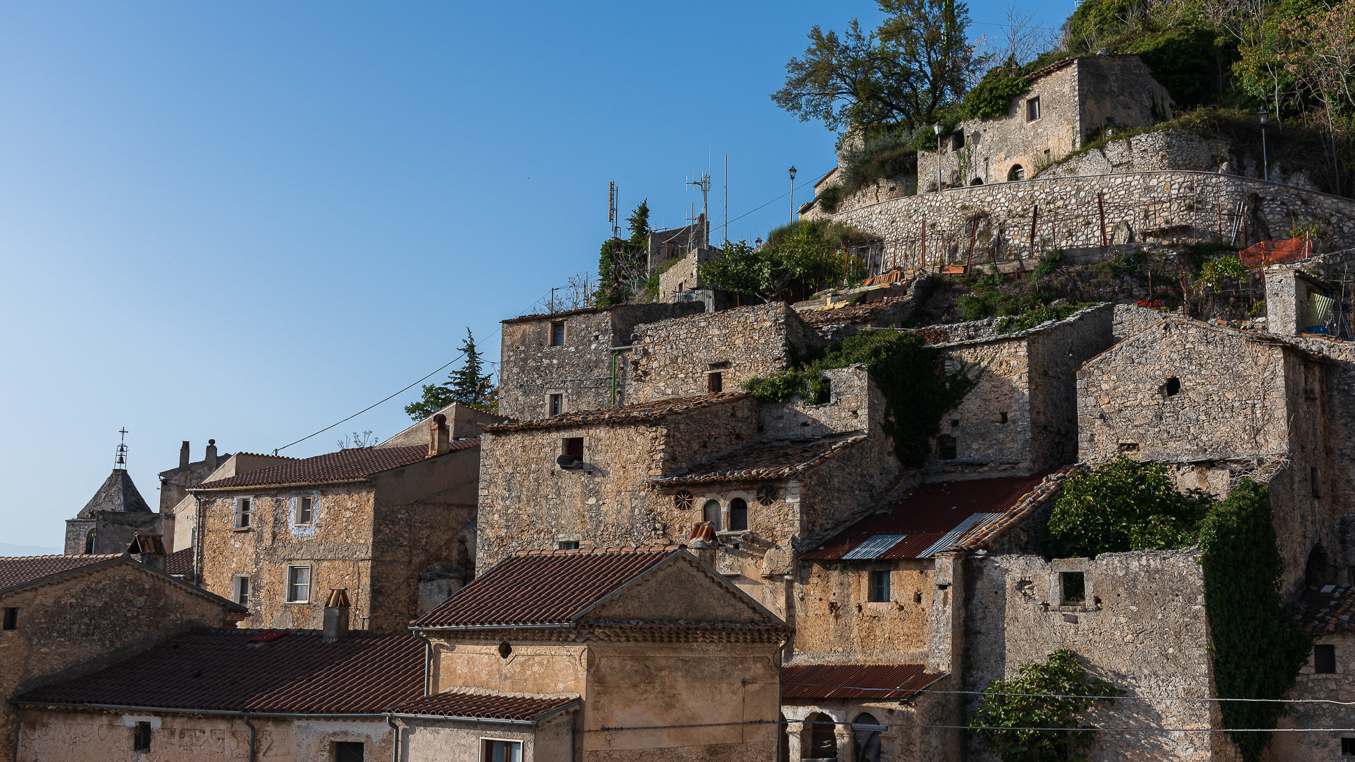
Pesche, village in the province of Isernia, in Molise
Pesche, village in the province of Isernia, in Molise, perched along the steep slopes of Mount San Marco, a white spot against the green of the mountain and the gray of the stones.
2022
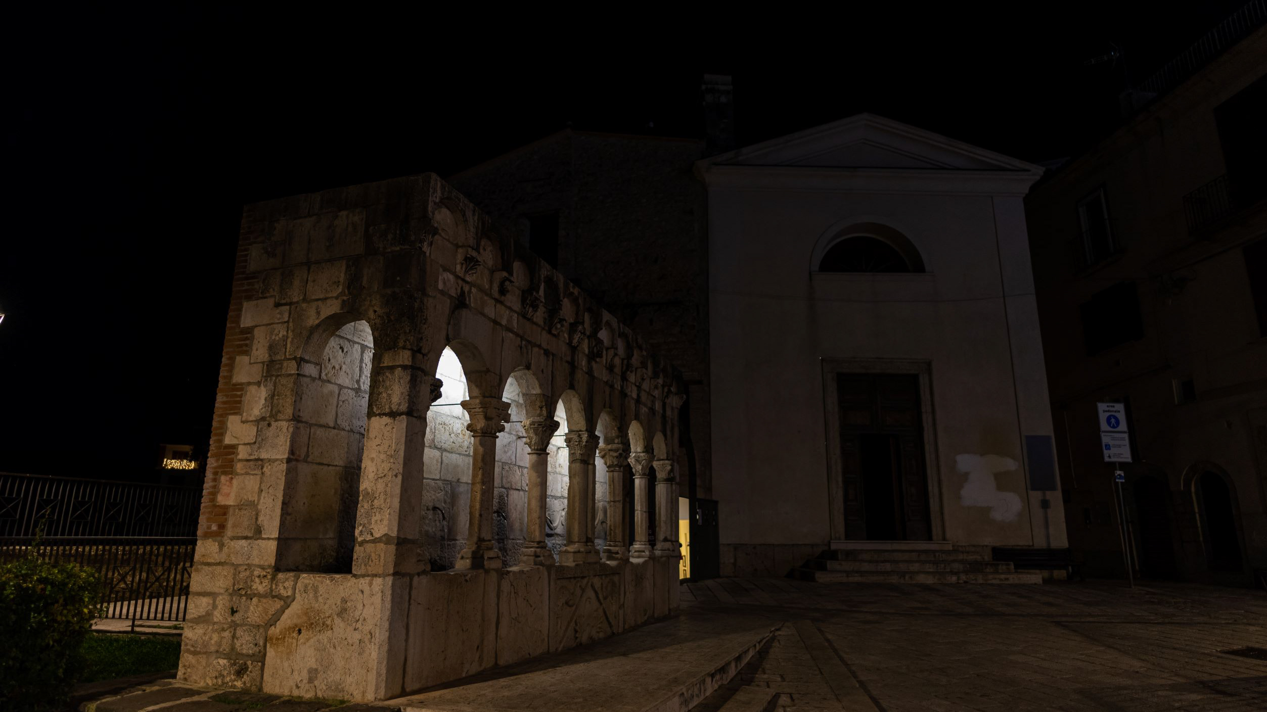
Isernia. The "Fraternal Fountain"
2015
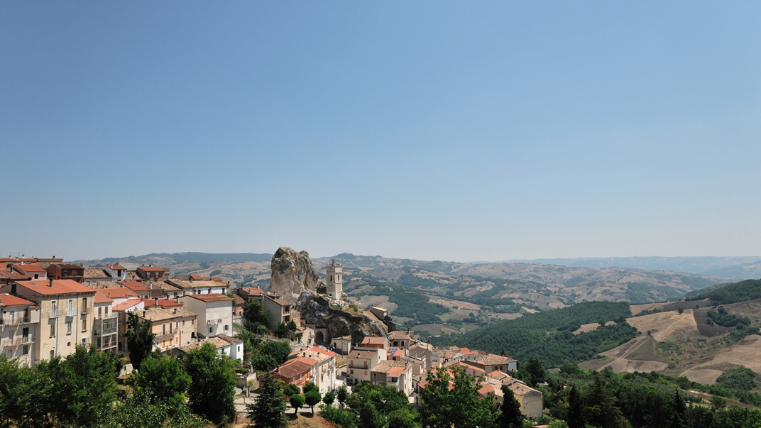
Molise - Pietracupa (CB)
Pietracupa è un comune italiano di 207 abitanti della provincia di Campobasso, in Molise. L'etimologia del nome è un composto di pietra, poiché costruito su un'enorme formazione calcarea, la "Morgia", e dell'aggettivo cupa, che in latino vuol dire "botte", in riferimento ai numerosi insediamenti rupestri ancora visibili in essa. È zona di villeggiatura estiva e di escursionismo.
2015
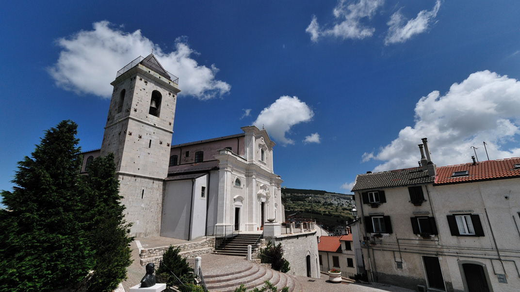
Capracotta (IS)
Capracotta è un comune italiano di 871 abitanti della provincia di Isernia, in Molise. Si trova a 1.421 metri sul livello del mare ed è, dopo Rocca di Cambio, il comune più alto dell'Appennino. Ha fatto parte del Regno di Napolie del Regno delle Due Sicilie. Nonostante le origini medievali, il borgo ha un aspetto moderno a causa della ricostruzione dovuta ai danni della Seconda guerra mondiale, eccetto alcuni monumenti come le chiese. Dagli anni '50 in poi è iniziata a diventare una delle principali stazioni sciistiche molisane, assieme a Campitello Matese, determinando lo sviluppo economico e turistico.
2020
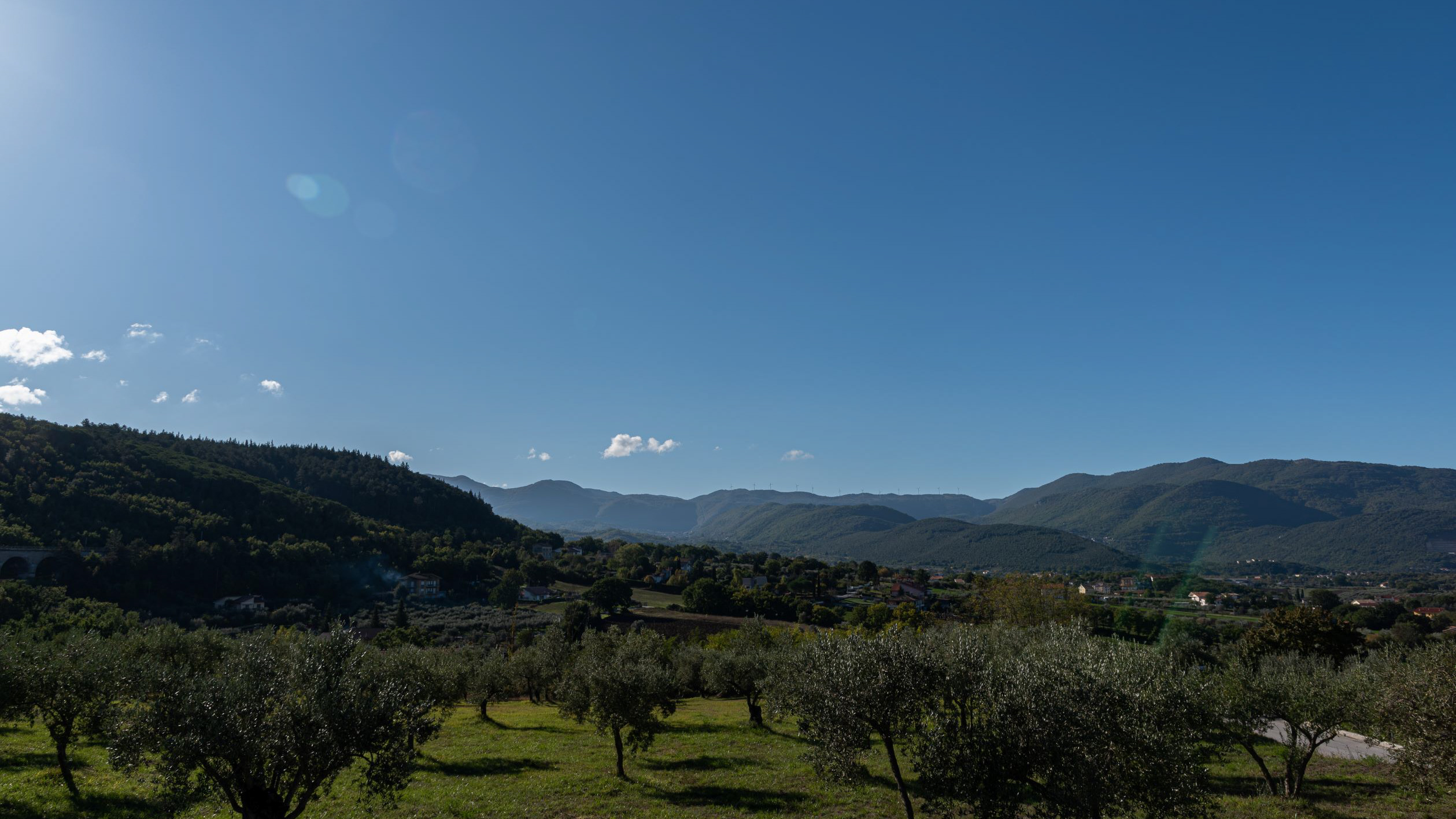
Landscapes
Molise is an Italian mountainous region with a stretch of coast overlooking the Adriatic Sea. It includes a part of the Abruzzo National Park in the Apennine mountain range, with a rich wildlife and trails. The regional capital, Campobasso, is known for the Monforte Castle, located on a mountain, and for the Romanesque churches. To the north is the archaeological area of Pietrabbondante with an ancient theater and a Samnite temple.
