Guardialfiera. Ancient Cathedral of Santa Maria Assunta
2025
The ancient parish church of Guardialfiera, whose origins date back to the 11th century, is located at the top of the town. Romanesque and Gothic elements adorn the external walls
You may also like
2021
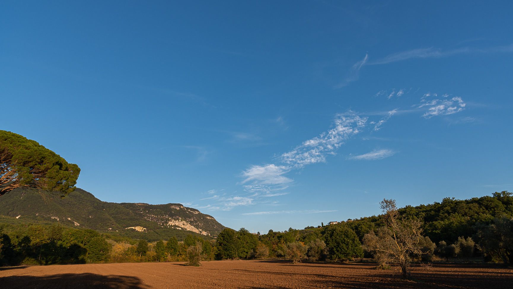
Pesche, Molise. Panoramas
Panorama of Pesche, village in the province of Isernia, in Molise, perched along the steep slopes of Mount San Marco, a white spot against the green of the mountain and the gray of the stones.
2018
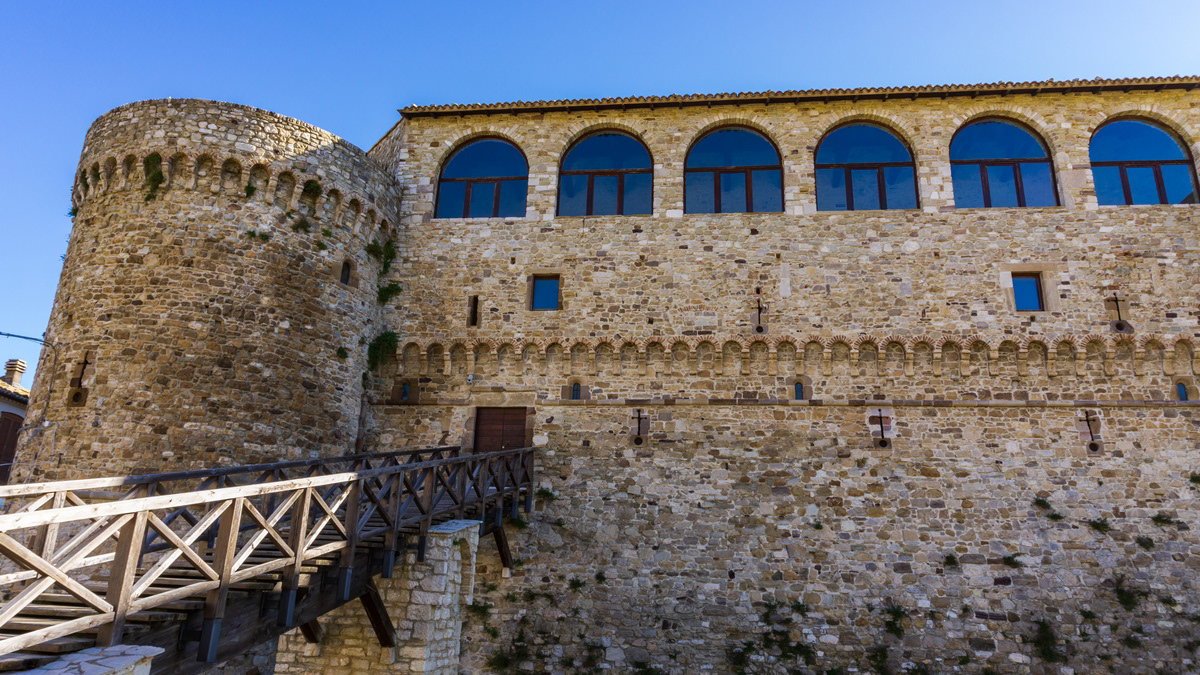
Civitacampomarano (CB), il Castello Angioino
Il castello è il principale monumento della città. Si erge nella parte centrale del paese su un crinale di arenaria, fra i torrenti Mordale, che attraversa la Cavatella, e il Vallone Grande, uno degli affluenti del fiume Biferno. Si sostituì ad una più antica torre di avvistamento, databile probabilmente intorno alla seconda metà del XII secolo e di cui si può ancora vedere il perimetro, messo in evidenza durante gli imponenti lavori di restauro della fine del secolo scorso. L'impianto così come lo vediamo oggi, invece, secondo gli studiosi dovrebbe risalire al XIII secolo, presentando l'edificio degli elementi architettonici tipici dell'epoca, sotto la dominazione angioina. Originariamente di fronte ad esso era posta la chiesa madre, crollata nel 1903 a seguito di uno sfaldamento del costone sul quale si ergeva. Di essa ora resta visibile solo il basamento, mentre il campanile è intatto e funzionante ed è provvisto anche di un orologio i cui rintocchi risuonano ogni quarto d'ora.
2020
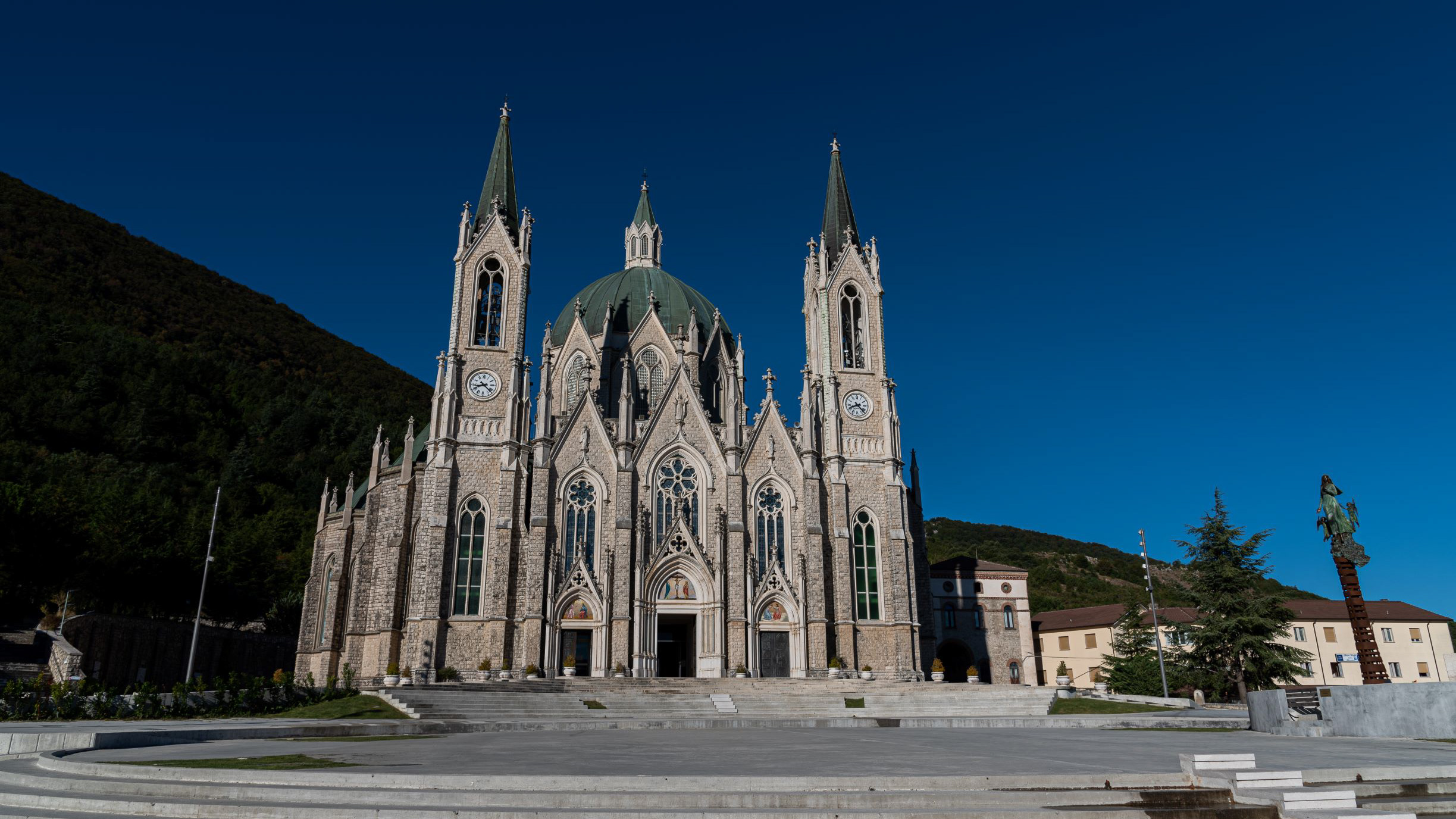
Castelpetroso. The Sanctuary - 2020
Castelpetroso is home to the Shrine of Maria Santissima Sorrows, patron saint of Molise. According to the testimony of the visionaries, the Virgin Mary first appeared on March 22, 1888 to two shepherds named Serafina and Bibiana in Cesa between Saints, on the slopes of Mount Patalecchia. This first appearance was followed by others. This phenomenon was later recognized. The shrine, which began with the laying of the first stone on September 28, 1890 and completed in 1975, is made in the neo-Gothic style; seen from above is composed of seven chapels depicting the seven sorrows of Our Lady, in the center of which there is the dome 54 meters high. The shrine and the place of apparitions are connected to each other by the Via Matris, 750 meters long, where precisely remember the seven Marian sorrows.
2021
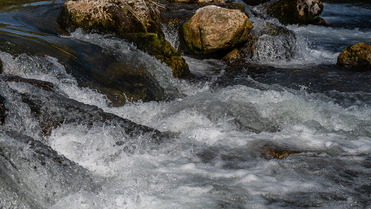
Isernia, Carpino river
2018
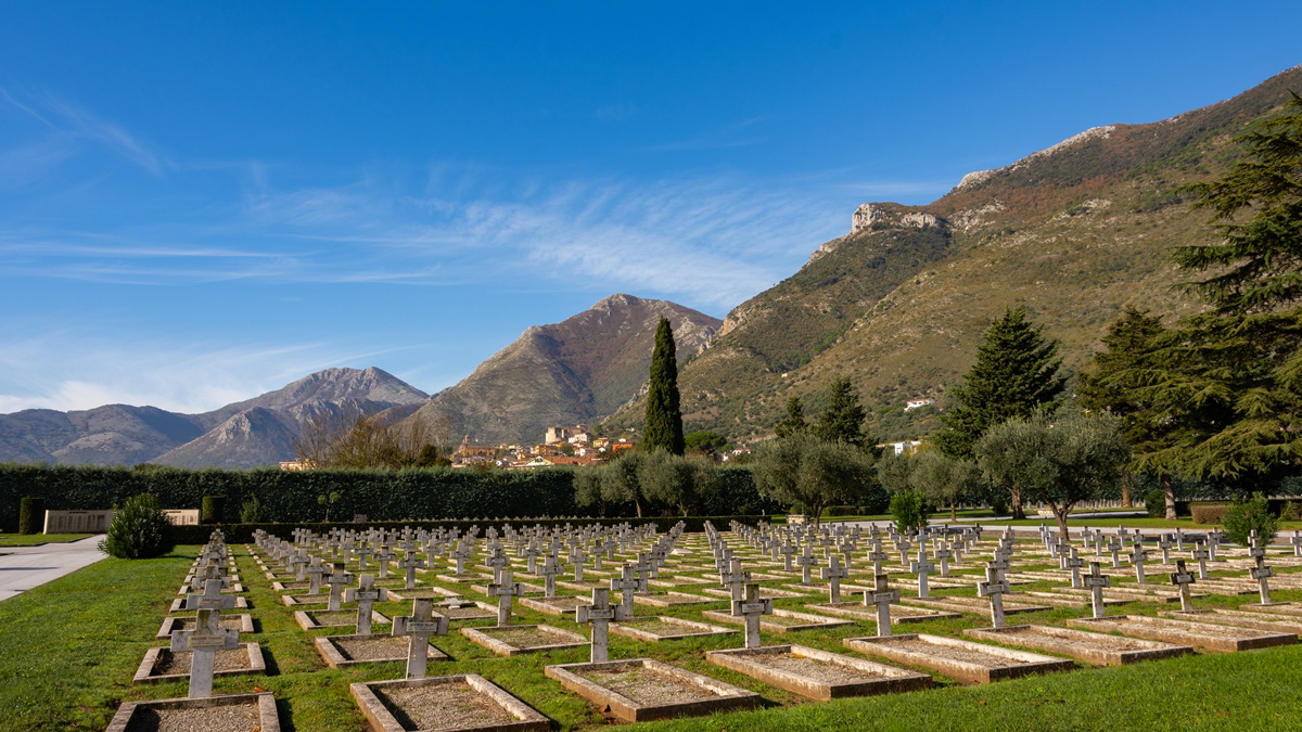
Venafro, cimitero militare francese
Uscendo dalla città lungo la Strada statale 85 Venafrana direzione Isernia, su un'estesa zona pianeggiante (70.000 m²) si trova il cimitero di guerra francese, nel quale sono sepolti circa 6000 tombe di soldati del Corps Expeditionnaire Français (ma molte sono state esumate), di cui circa due terzi di origine marocchina, algerina e tunisina, oltre ad alcuni africani (senegalesi?), caduti in gran parte durante la battaglia di Cassino (nov.1943-mag.1944) e nell'aggiramento di Montecassino.
2015
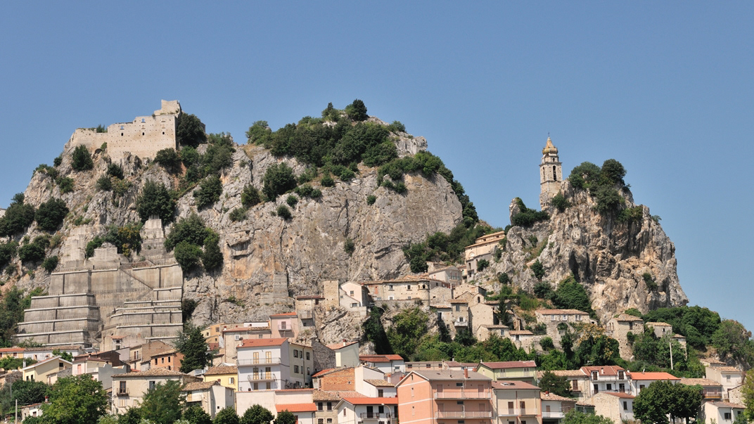
Bagnoli del Trigno (IS)
Bagnoli del Trigno (Vagnuolë in molisano) è un comune italiano di 708 abitanti della provincia di Isernia in Molise. Le origini del paese sono ignote[3] e si fanno risalire a diverse leggende, secondo le quali Bagnoli sarebbe stata fondata in una da un Duca che si abbevera nelle acque del Trigno, in un'altra con la costruzione di agglomerati urbani intorno a una sorgente termale (Balneoli, da cui il nome) e infine da alcune tribù per trovare riparo dalle invasioni barbariche. Le prime notizie storiche risalgono al medioevo, quando il feudo era parte del Contado del Molise. Successivamente, dopo una serie di passaggi di proprietà anche tra signori francesi e spagnoli, diventa parte del Regno di Napoli e successivamente del Regno d'Italia. Con il novecento il paese ha visto un forte spopolamento a causa dell'emigrazione, soprattutto a Roma dove molti bagnolesi svolgono il lavoro di tassisti. Da uno studio effettuato dall'associazione "Forche Caudine" nel 2013 risulta che vivono più bagnolesi a Roma (circa un migliaio) rispetto ai residenti in paese.
2023
Pescolanciano. D’Alessandro Castle
The D'Alessandro castle is a fortified structure in the municipality of Pescolanciano. The castle was built on the rocky spur (peschio) that overlooks the town near a Samnite fortification.
2023
Mainarde. Autumn landscape. Foliage
2025
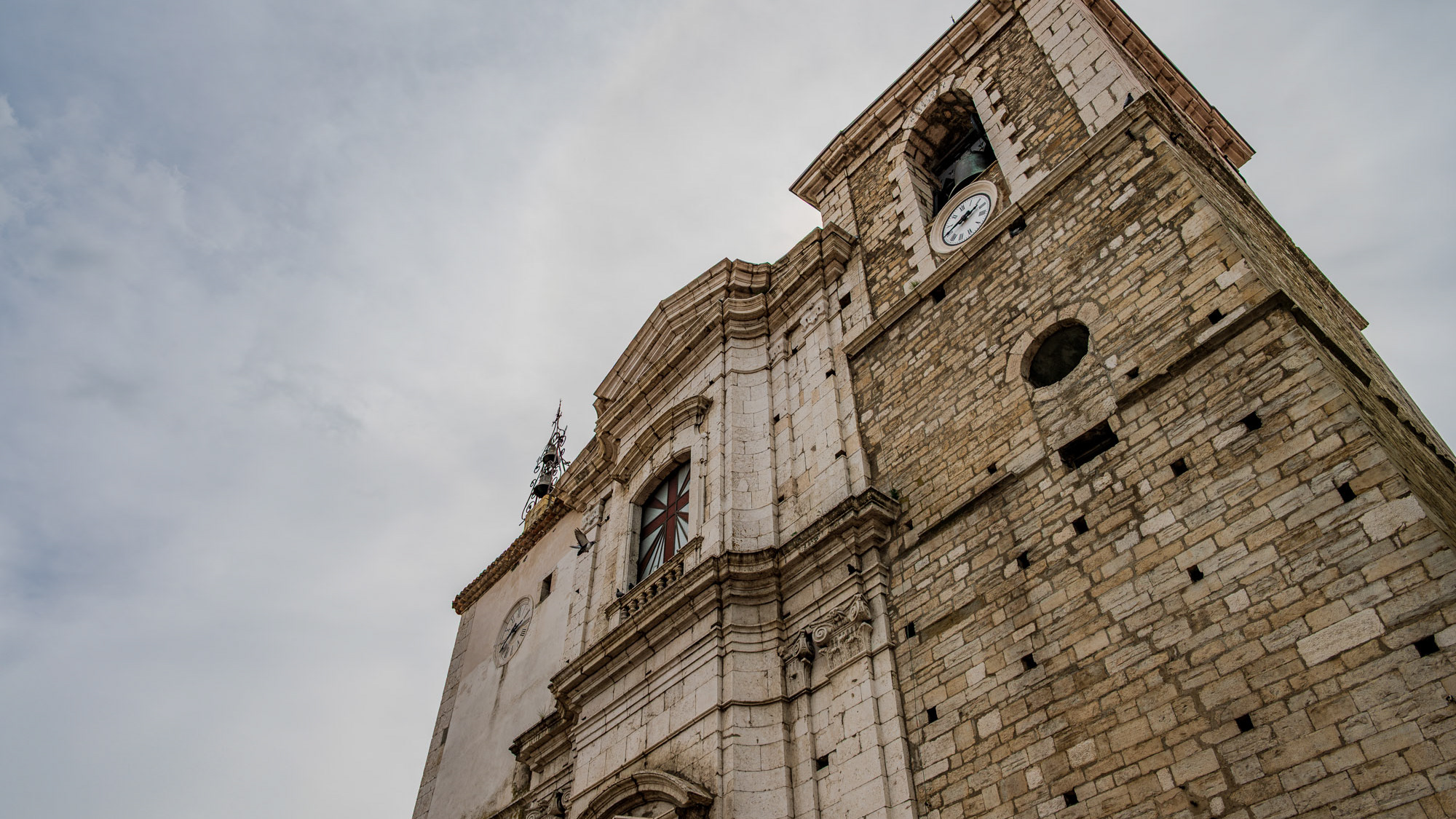
Frosolone. Church of Santa Maria Assunta
2025
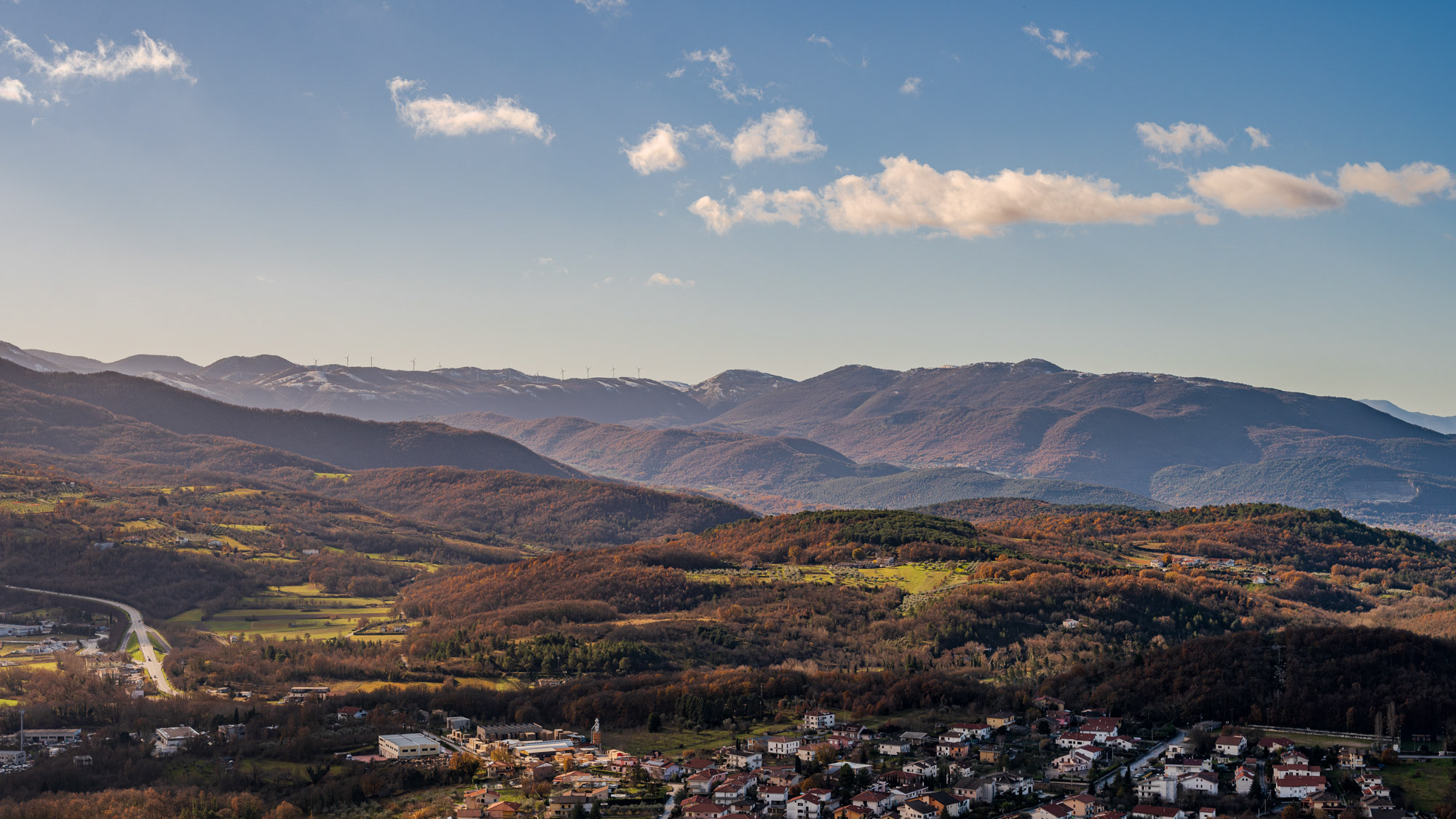
Molise. Winter landscapes from Pesche
