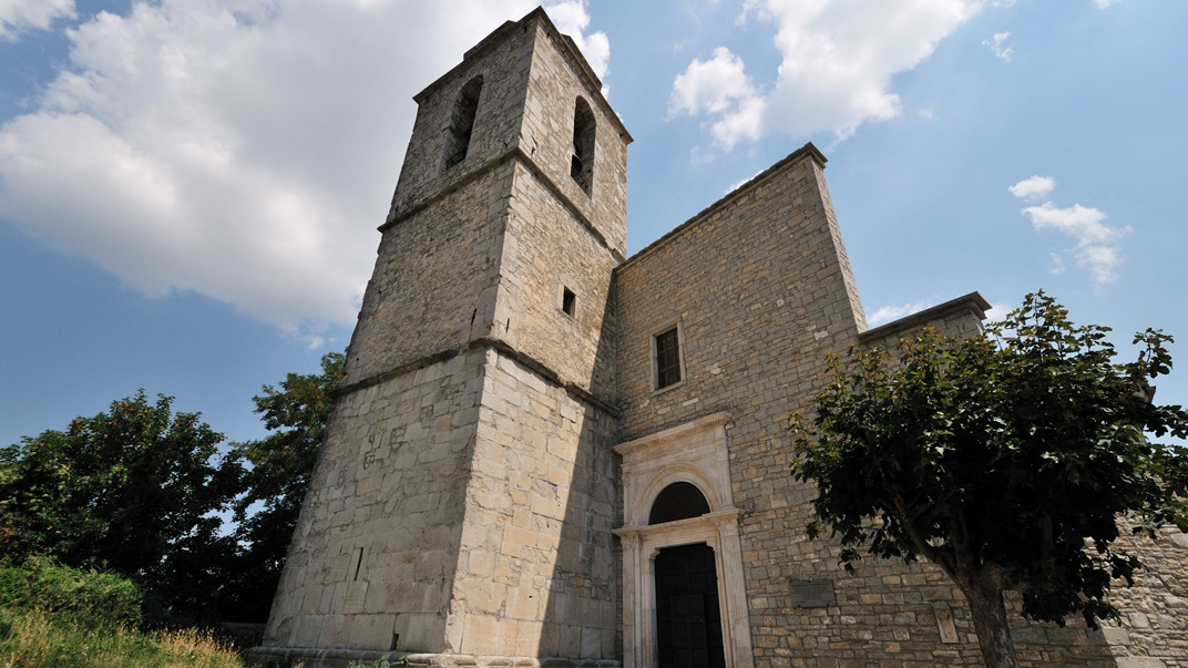
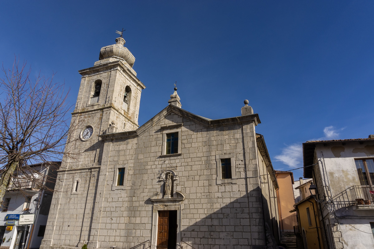
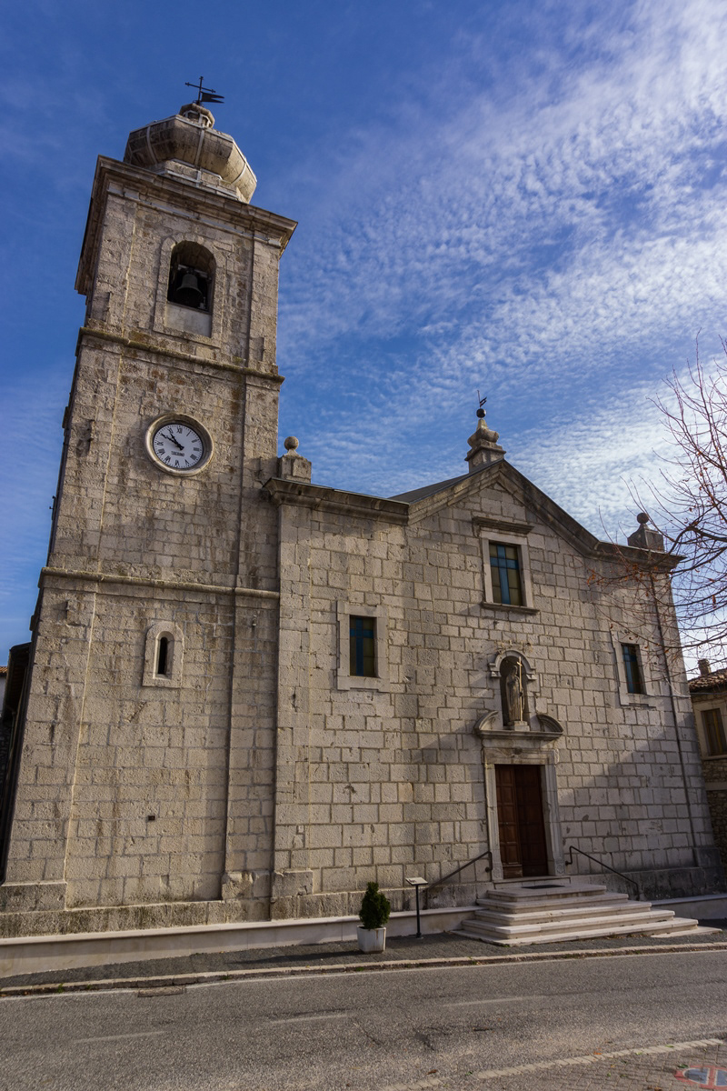
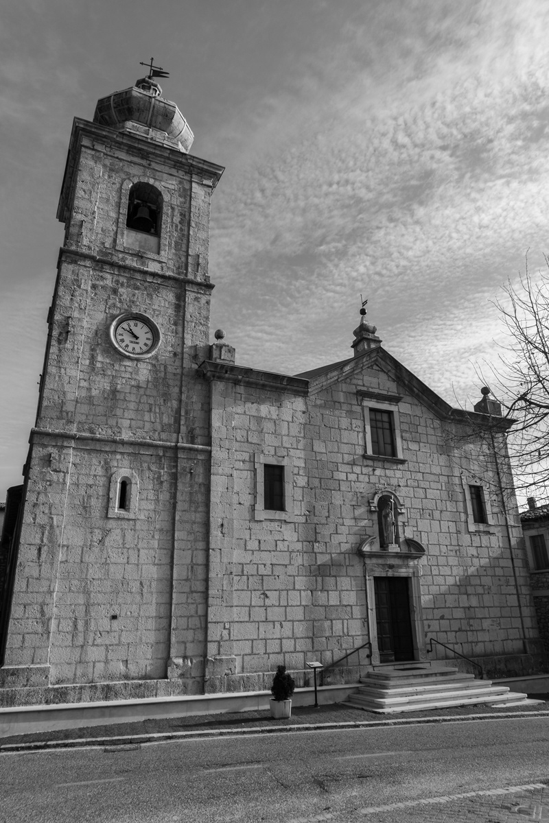
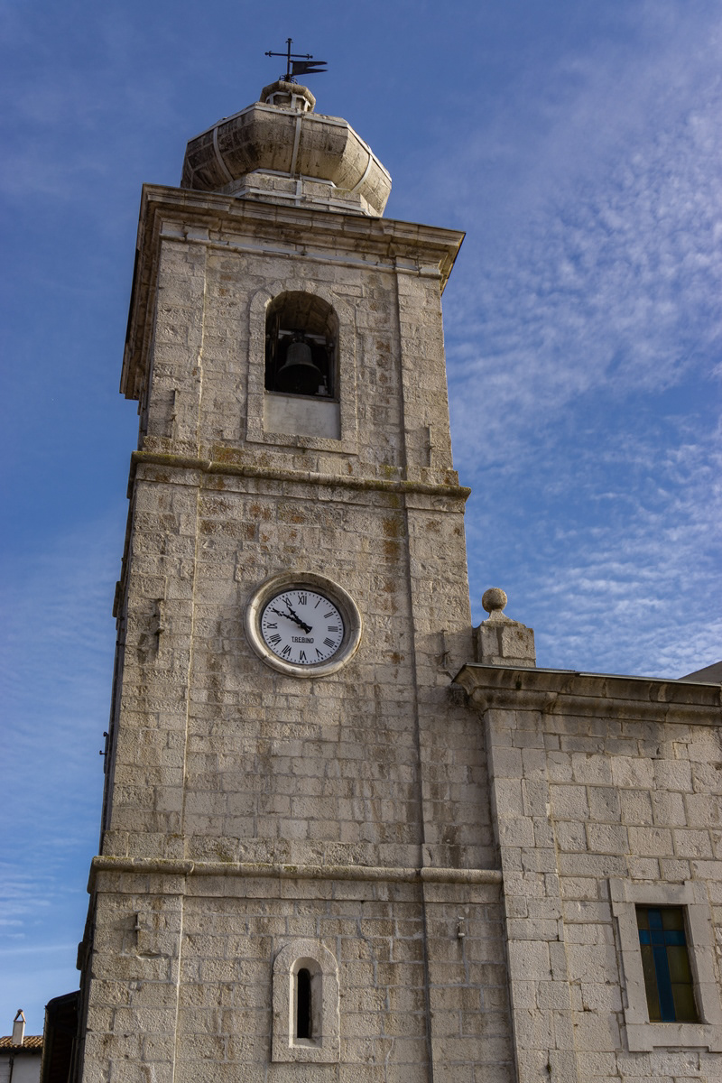
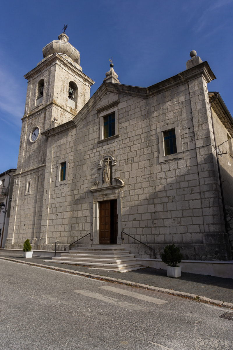
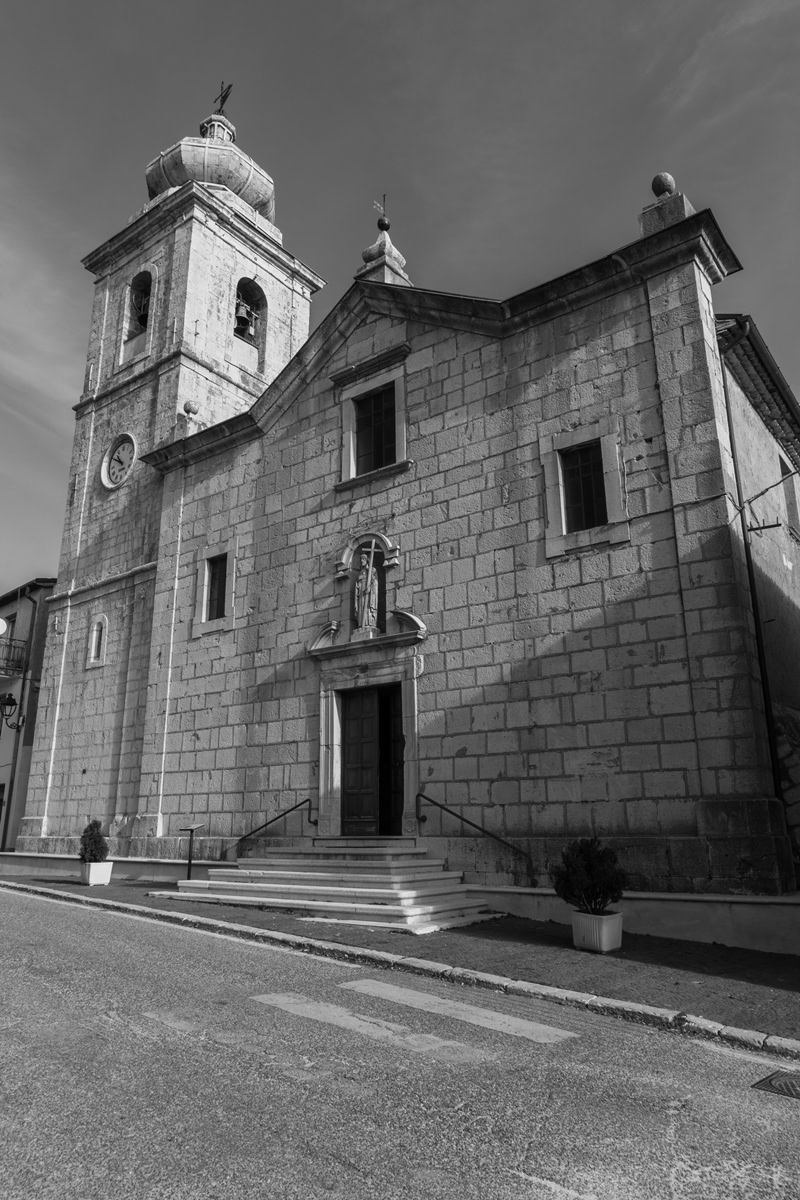
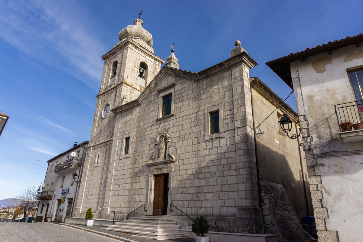
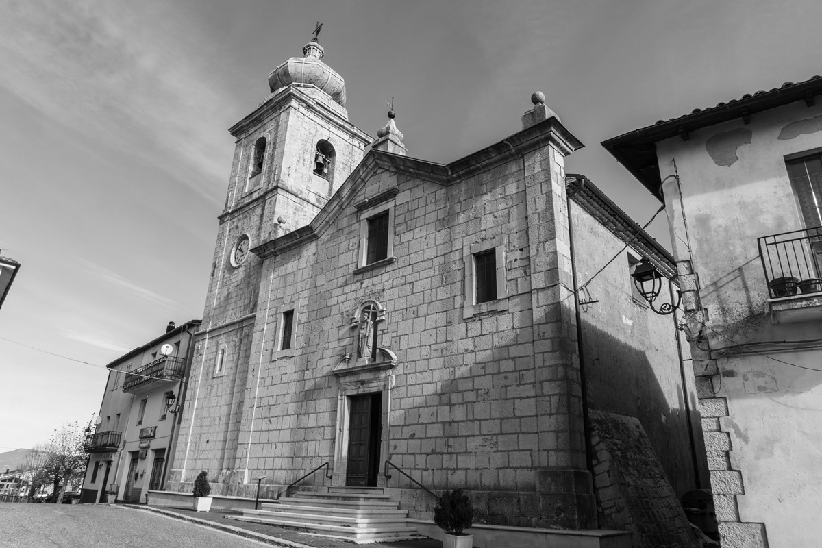
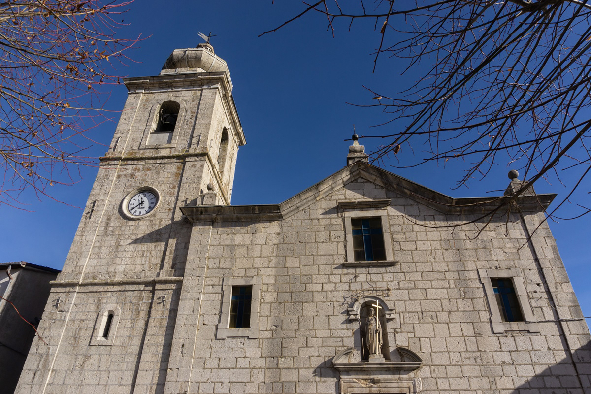
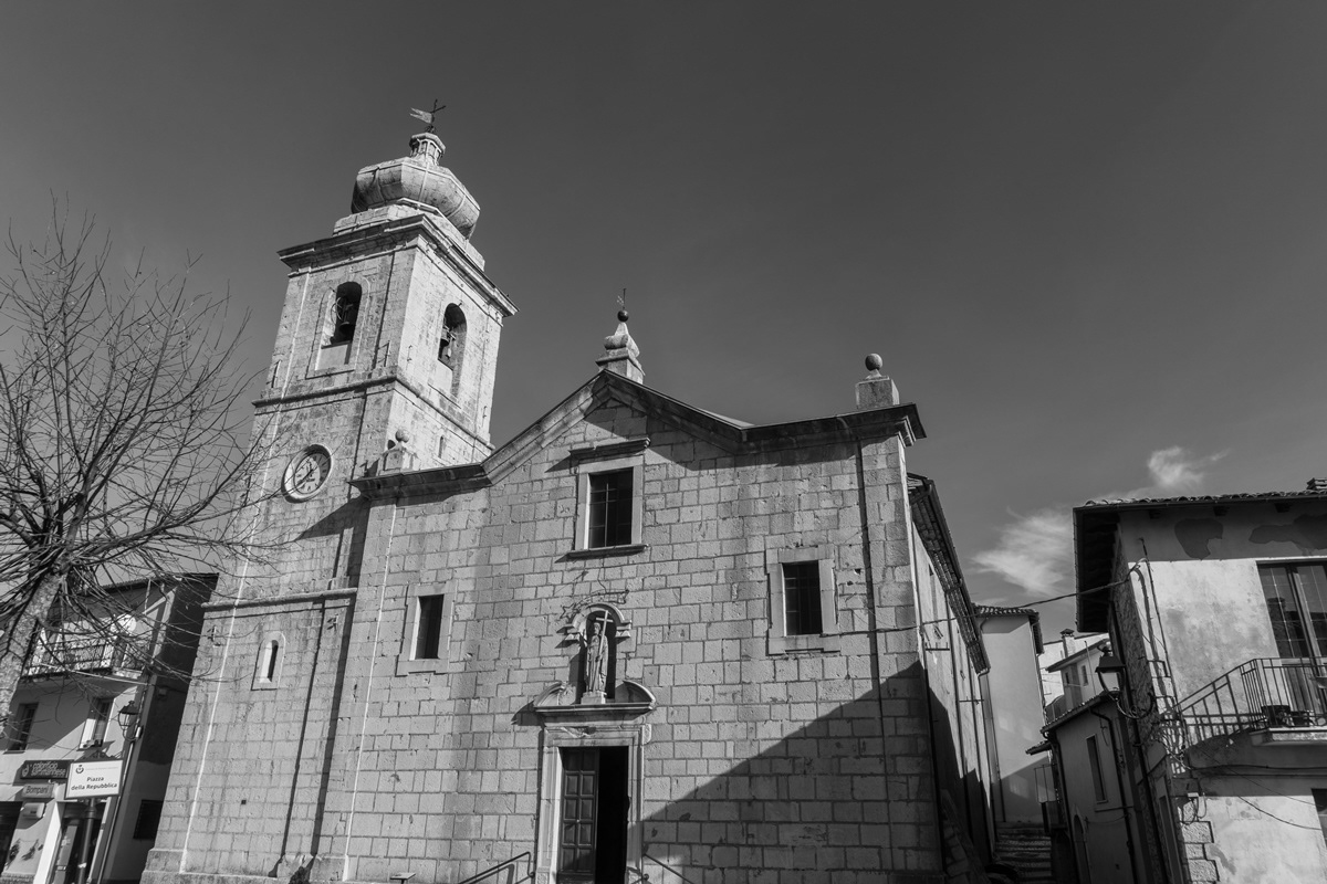
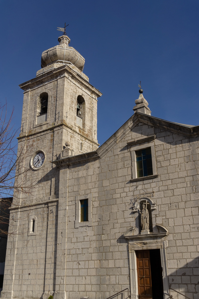
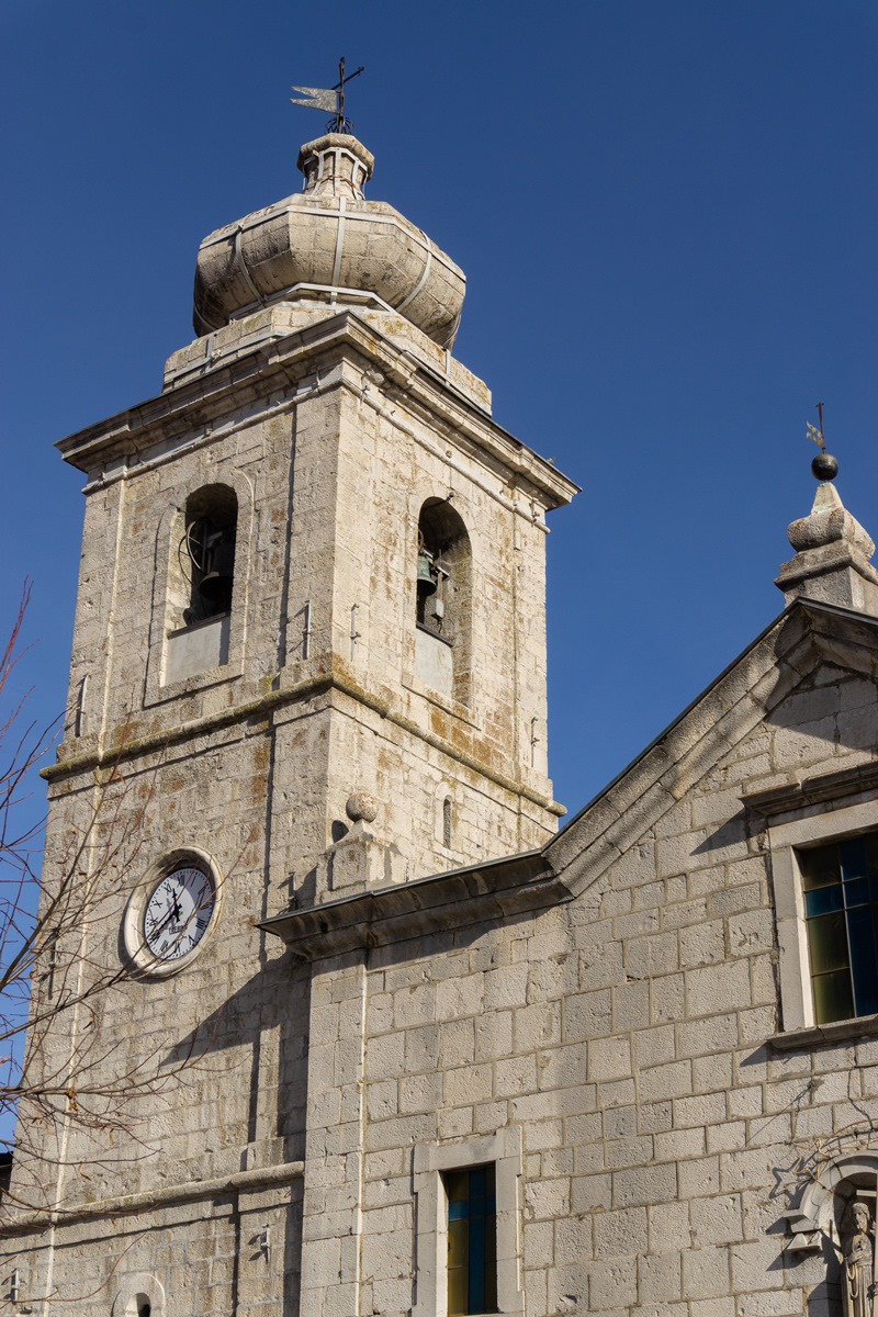
You may also like

2025
Isernia. View from Pesche
2021
Isernia, Church of S. Maria Assunta
La Chiesa, in stile moderno, si trova nel centro cittadino della parte nuova ed è facilmente raggiungibile da ogni punto. Essa stessa rappresenta un punto di riferimento urbano per muoversi all'interno della città.
2022
Spectacular winter panorama 2022
2015
Miscellanea
Agnone (Agnèune in dialetto locale) è un comune italiano di 4 957 abitanti della provincia di Isernia in Molise. Fino al 1811, per circa 600 anni, Agnone e il suo circondario sono sempre stati parte integrante del Giustizierato d'Abruzzo e dell'Abruzzo Citra, nel distretto di Lanciano. Antica città sannita, è sede del più antico stabilimento al mondo per la fabbricazione delle campane (Pontificia fonderia di campane Marinelli), fondato intorno all'anno 1000 e tra i pochi che possano fregiarsi dell'onore di utilizzare per i propri prodotti lo stemma pontificio. Agnone è una cittadina di circa 5000 abitanti ubicata nell'Alto Molise. Si trova a 830 m di altitudine sul livello del mare, circondato da un paesaggio montuoso rivestito da boschi e praterie.
2023
Castelpetroso. Sanctuary of the Madonna Addolorata
The basilica sanctuary of Maria Santissima Addolorata, or simply the Addolorata basilica is an important Catholic place of worship located in the municipality of Castelpetroso, in the province of Isernia, and belonging to the archdiocese of Campobasso-Boiano. According to the testimony of the visionaries, the Virgin Mary appeared for the first time on March 22, 1888 to two shepherdesses named Serafina and Bibiana in the locality of Cesa tra Santi, on the slopes of Mount Patalecchia. This first apparition was followed by others and, following the recognition of this phenomenon, Pope Paul VI proclaimed Maria Santissima Addolorata of Castelpetroso patroness of Molise on 6 December 1973. In the 1890s, it was decided to build a sanctuary near the place of the apparitions, but further downstream from this, so that it would be more easily accessible by pilgrims. The project was entrusted to Giuseppe Gualandi, whose death (1944) was succeeded by his son Francesco. On 28 September 1890 the first stone was laid and construction of the sanctuary began. It proceeded slowly due to economic problems and the two world wars: in 1907 the chapel of the Poles was finished and opened for worship, but the perimeter walls of the church were completed only in 1950, thanks to donations from don Nicolino Passarelli, canon theologian of the cathedral of Venafro, lawyer of the Sacra Rota and professor. In the following decades the sanctuary was completed and consecrated on 21 September 1975 by the bishop of Boiano-Campobasso Alberto Carinci.
2022
Castel San Vincenzo. The lake. Winter 2022
Castel San Vincenzo, Isernia, Molise, Italy. The lake. It is an artificial reservoir built at the end of the fifties for hydroelectric purposes. It occupies an area of 6.140 km². The lake of Castel San Vincenzo is an artificial reservoir built in the late 1950s for hydroelectric purposes. The lake occupies an area of 0.614 km² and has a useful capacity of 10 million cubic meters. The waters that feed the lake come mainly from the streams of the Montagna Spaccata in the nearby municipalities of Alfedena and Barrea. The waters of these streams feed the Enel power stations in Pizzone, Rocchetta a Volturno and Colli a Volturno. Although artificial, the lake is well harmonized with the surrounding landscape of mountains and woods. The aquatic fauna consists mainly of salmonids. Near the lake, where it is possible to engage in fishing and other water sports, there is an area equipped for camping and a riding stable.
2025
Sant’Elena Sannita. Spectacular spring views
2022
Molise, landscapes
2022
Isernia. The "Fraternal Fountain"
2022
Rocchetta al Volturno
Rocchetta a Volturno is an Italian town of 1 098 inhabitants in the province of Isernia in Molise. The Municipality of Rocchetta al Volturno is made up of two nuclei: the original village, called Rocchetta Alta, or Rocchetta Vecchia, still perched in a defensive position on the mountain, and Rocchetta Nuova, which is located at a lower altitude. The new Rocchetta was born because, at the end of the 19th century, the slope that connected the southern part of the ancient town with the opposite hill was deforested and the land began to show serious subsidence from 1890 due to the progressive sliding of the superimposed layers of clay and sandstone, increased by water infiltrations, both rain and spring. In 1905, following further disastrous events, the population moved for the most part downstream, where there was a hamlet called Case Sparse. The modern town is developed today in the center of a plateau, bordered to the west by the terminal part of the Mainarde chain and to the east by a depression, at the bottom of which the Volturno flows; about two kilometers away are the sources of the river. Its name characterizes the toponyms of other nearby municipalities such as Colli a Volturno and Cerro al Volturno.
Back to Top