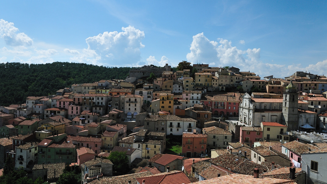
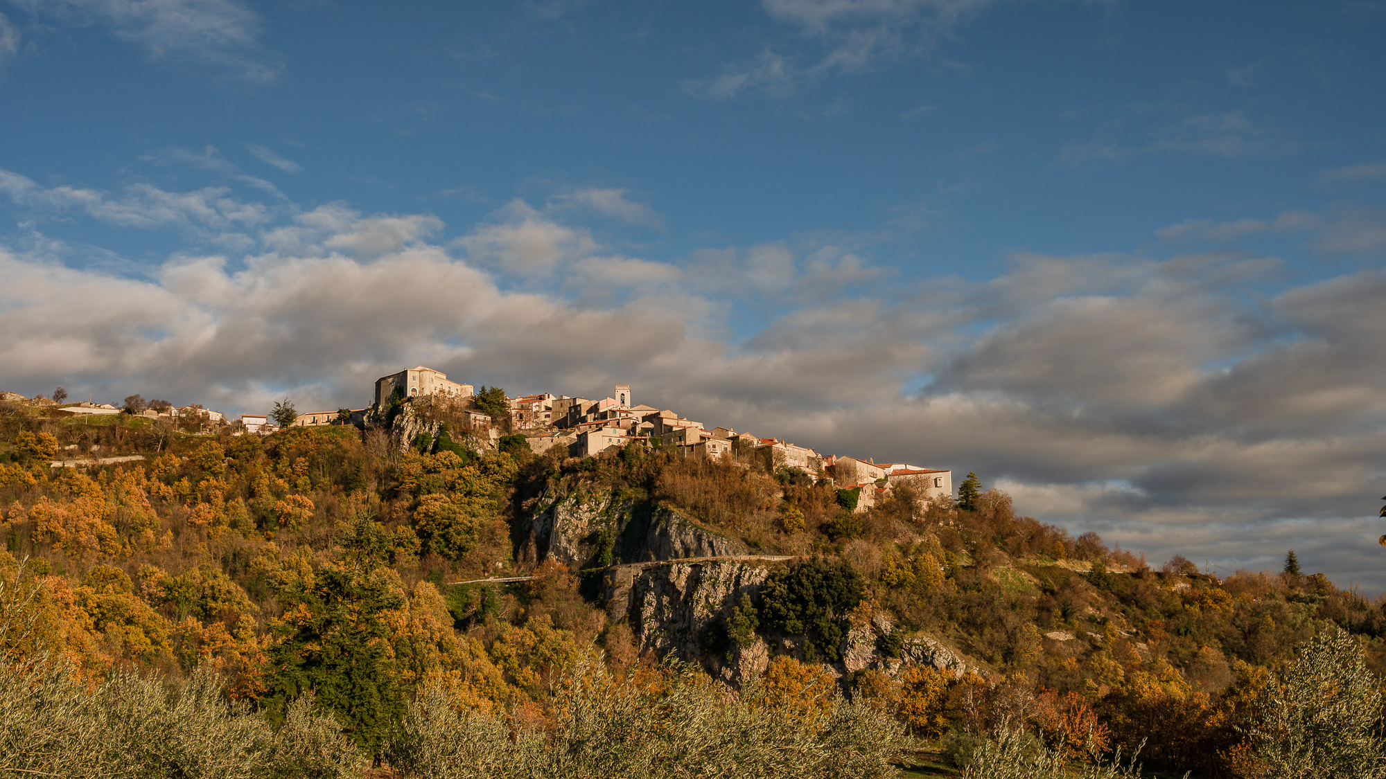
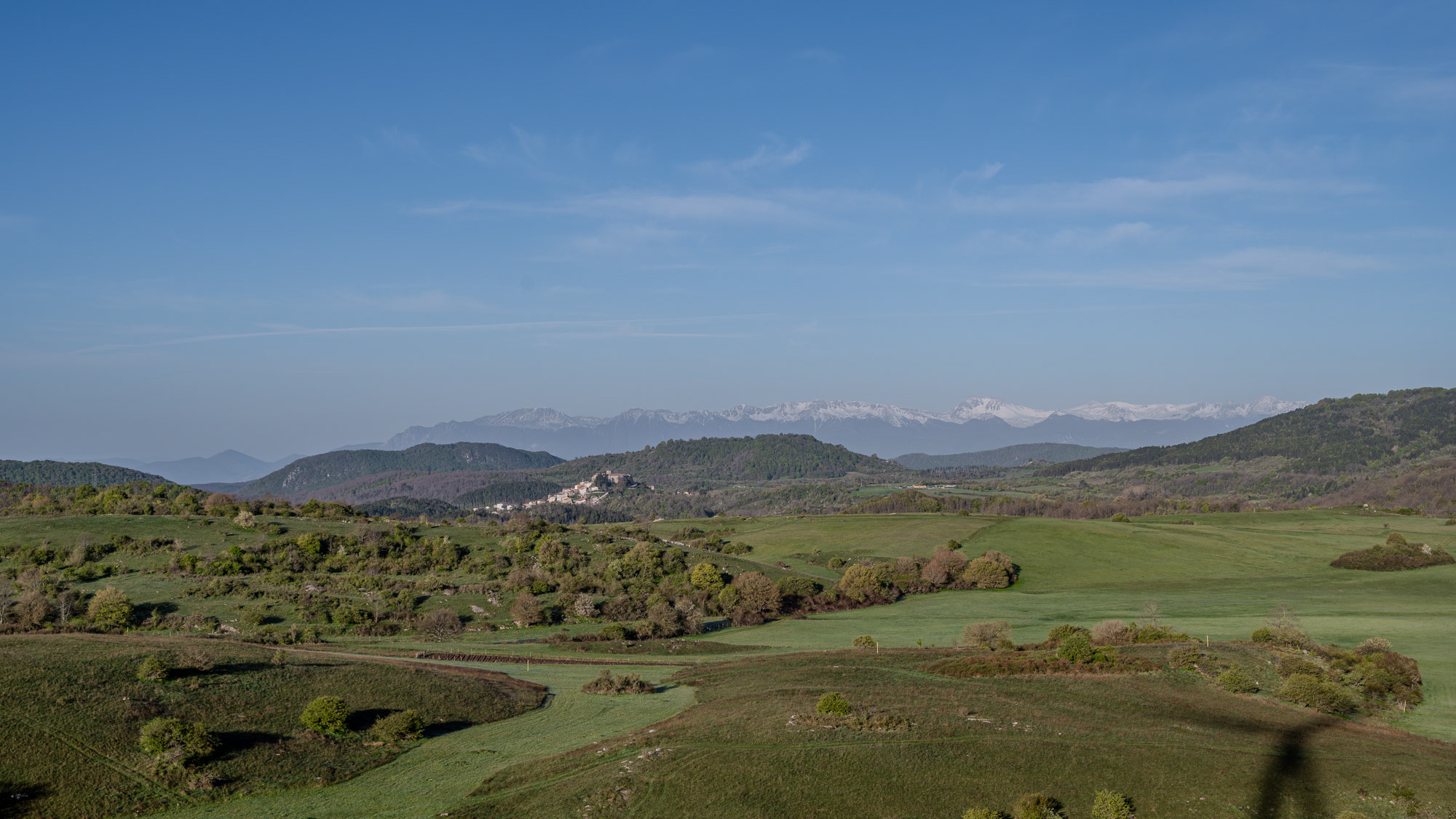
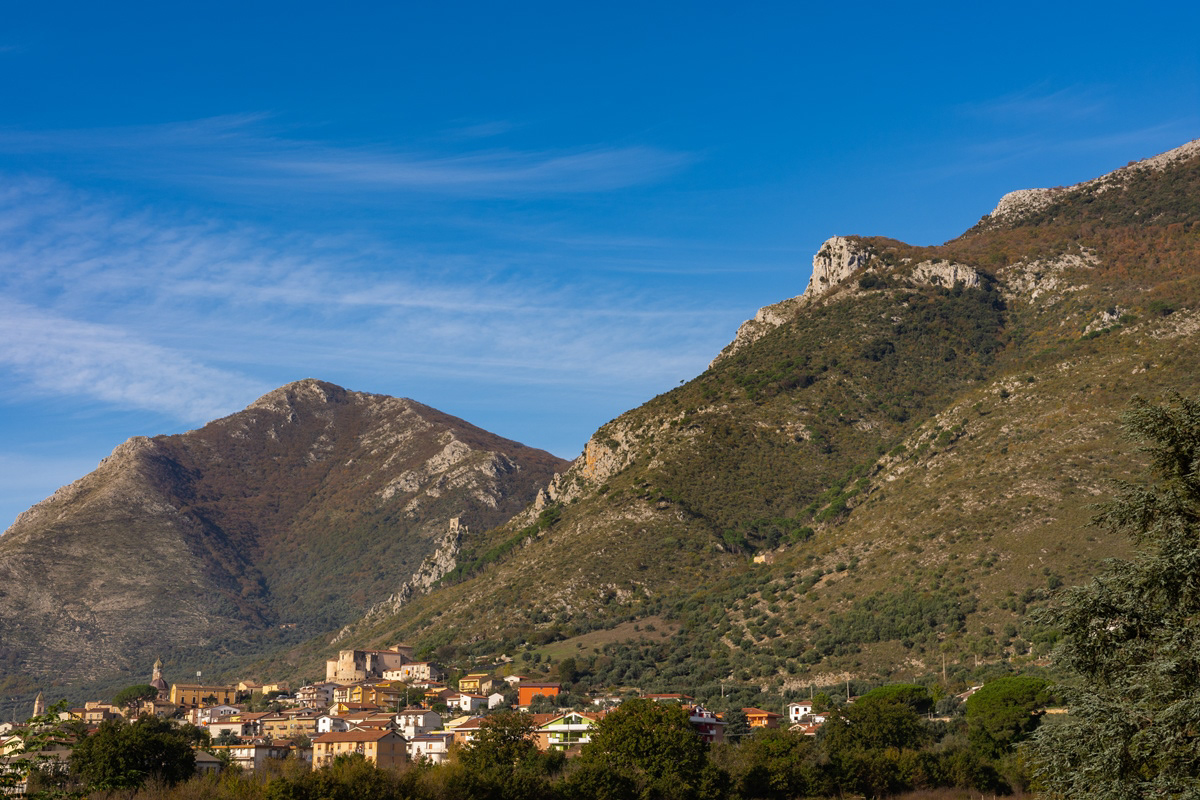
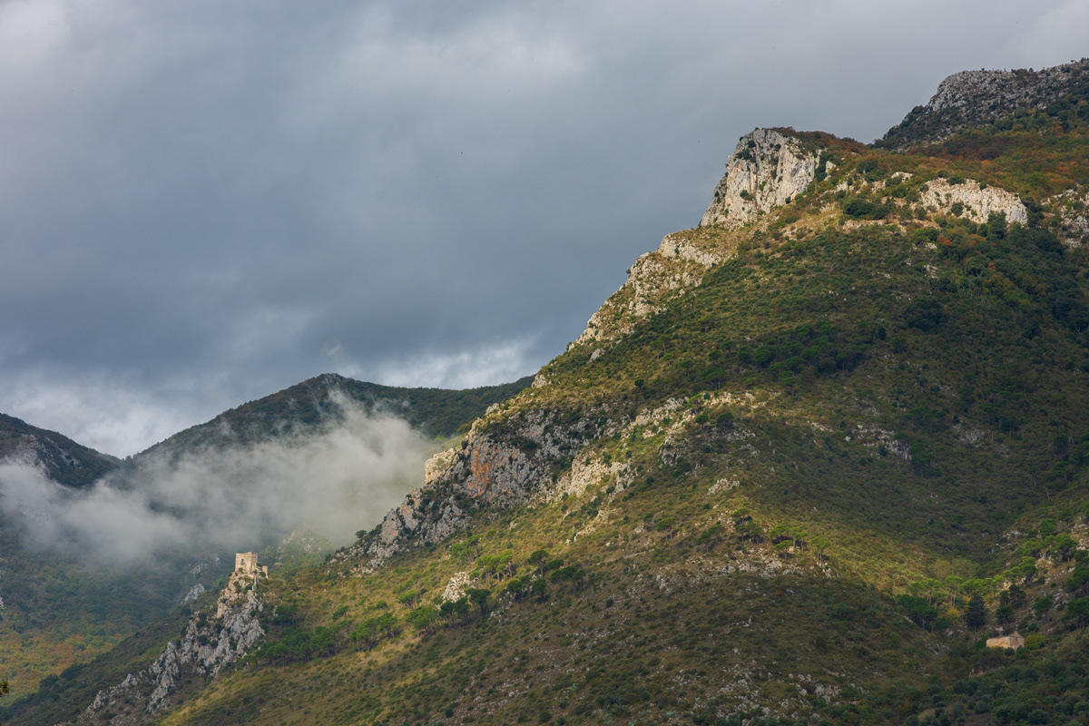
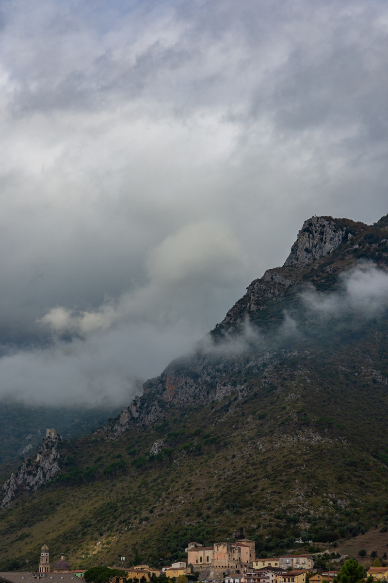
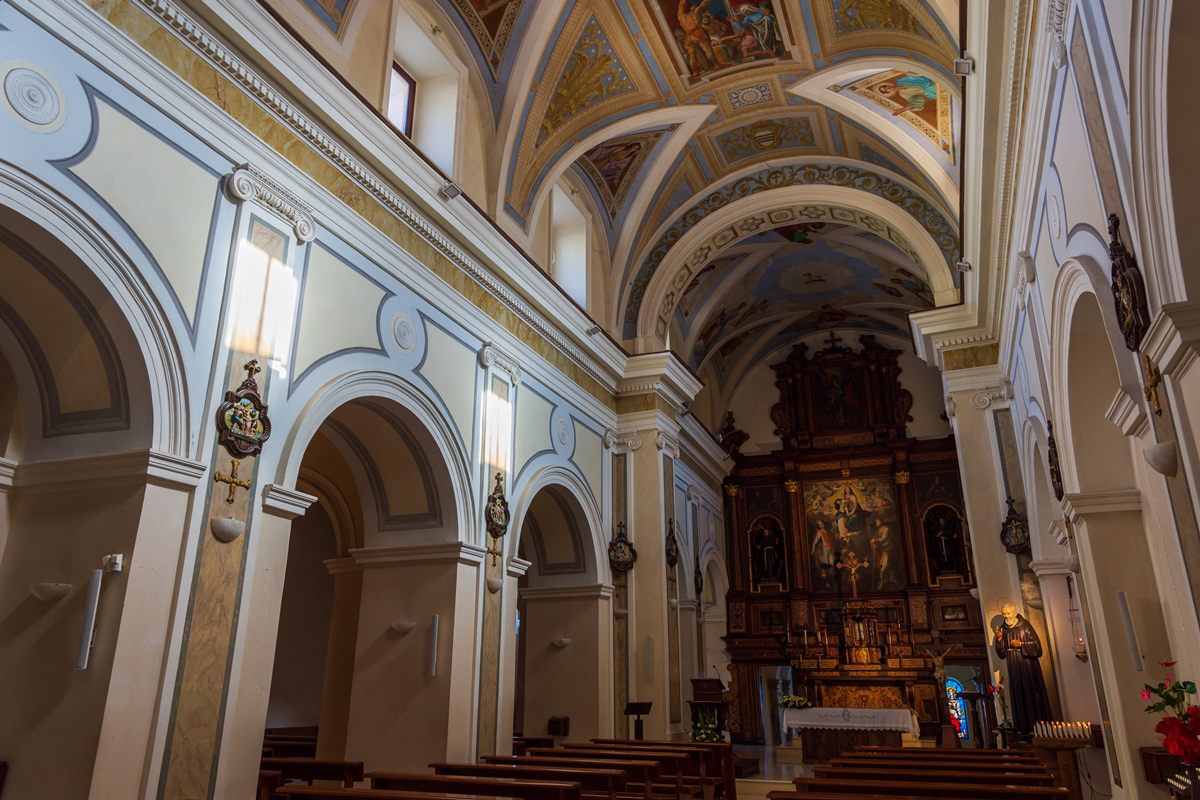
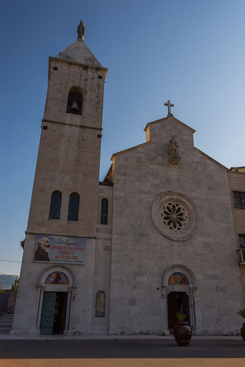
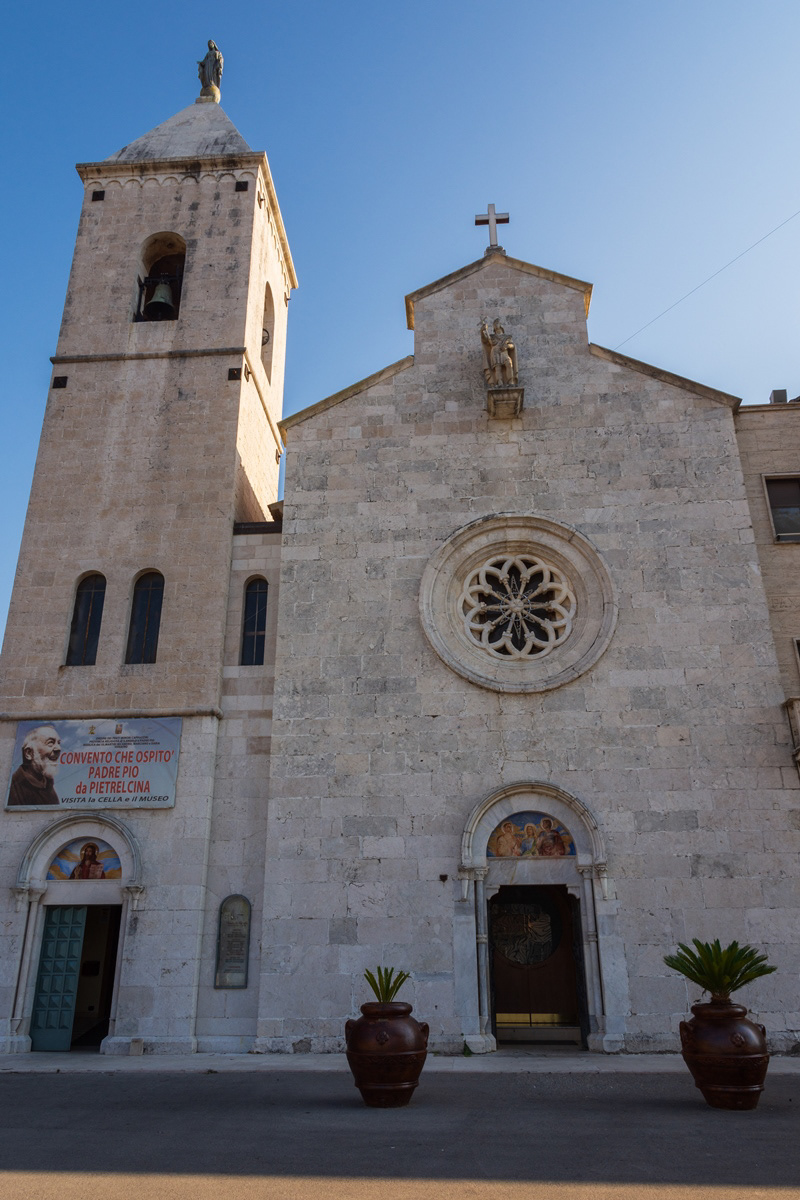
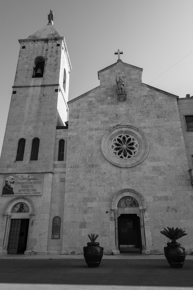
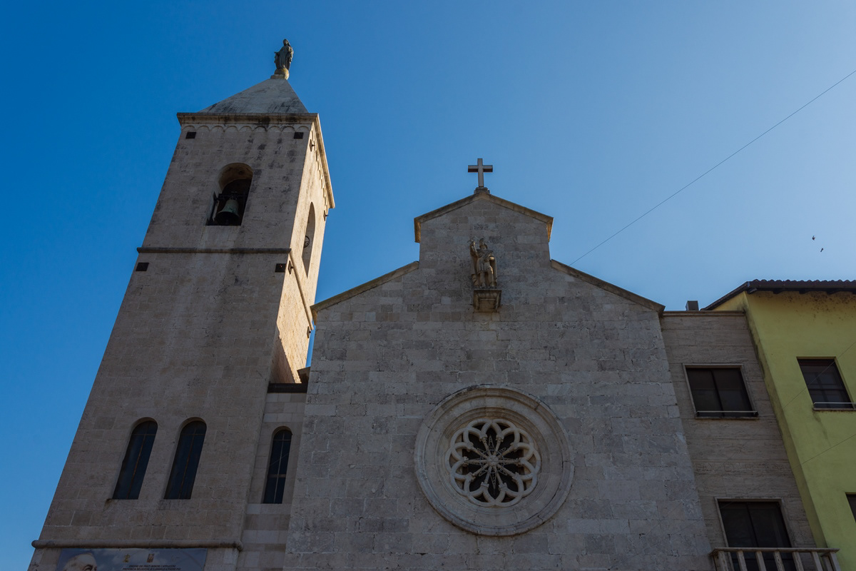
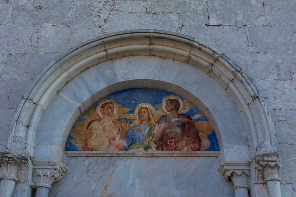
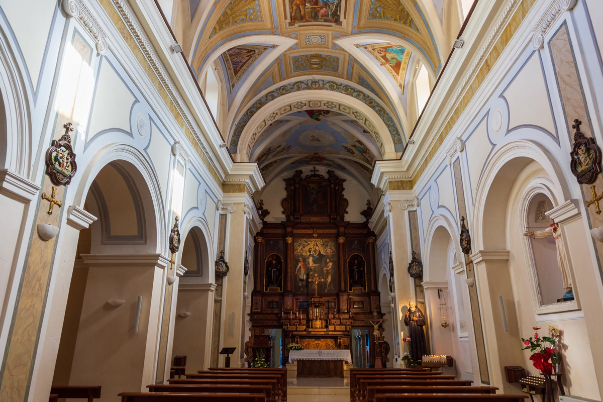
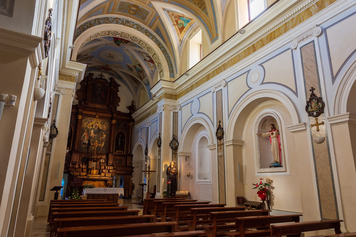
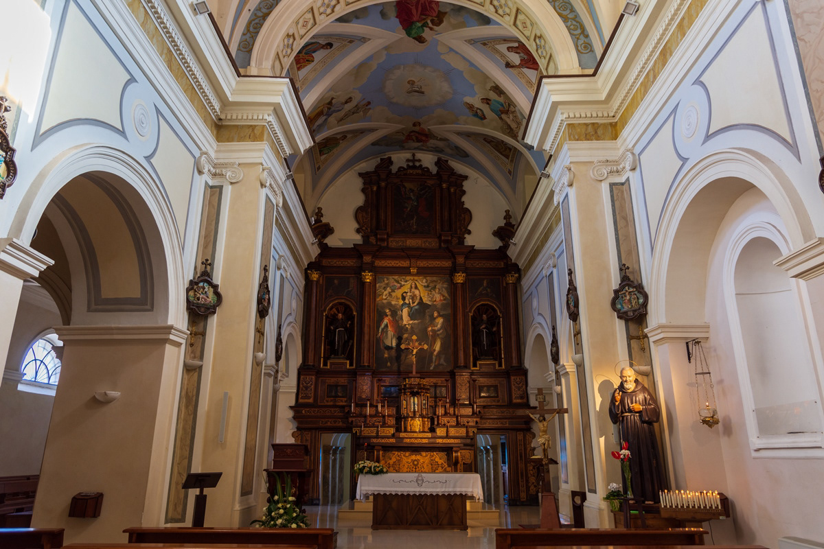
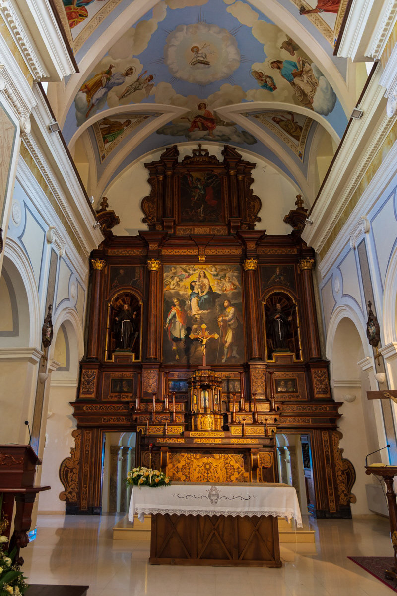
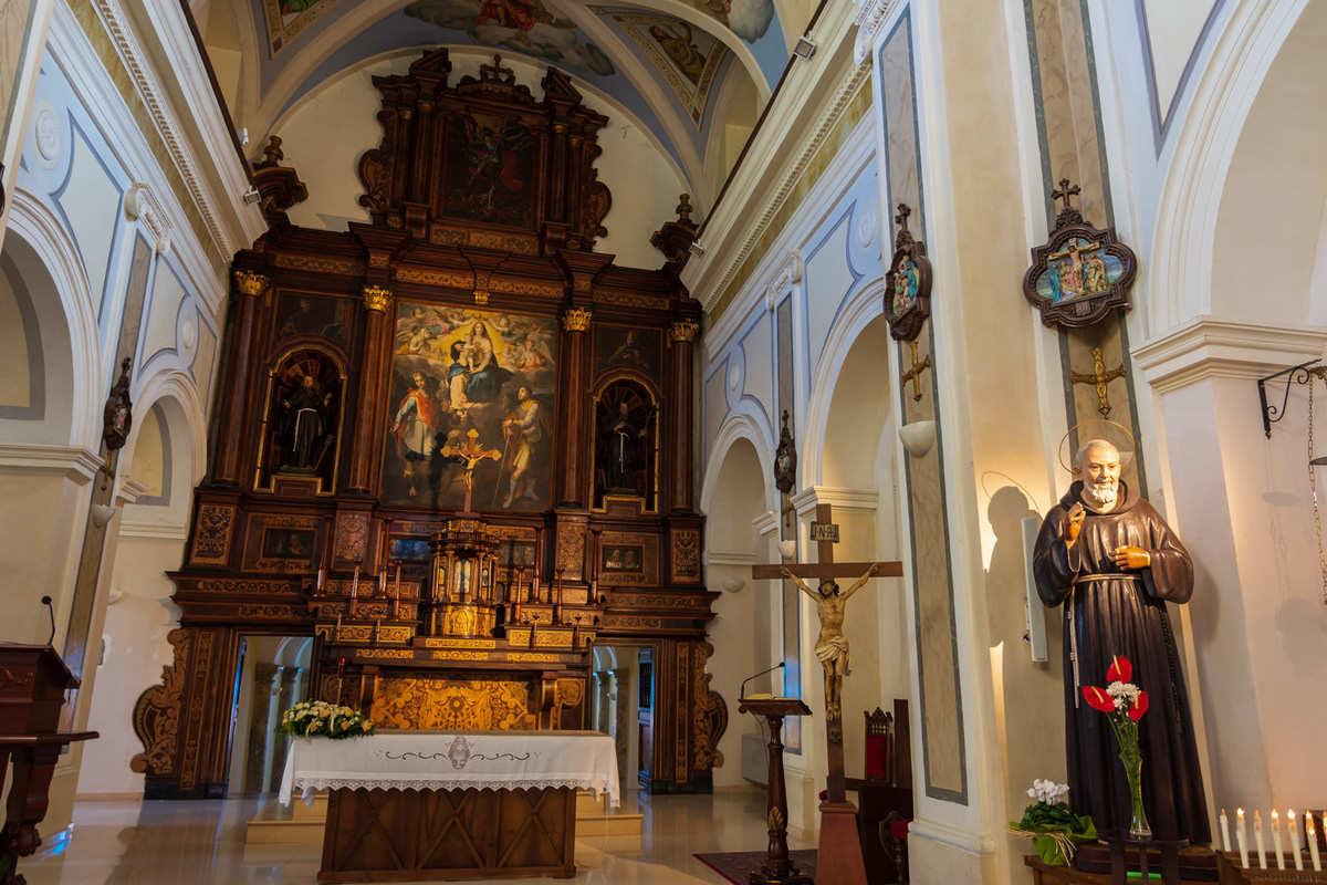
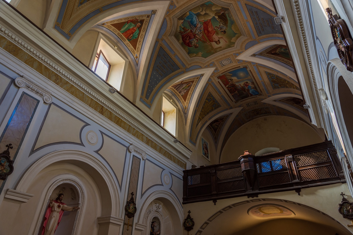
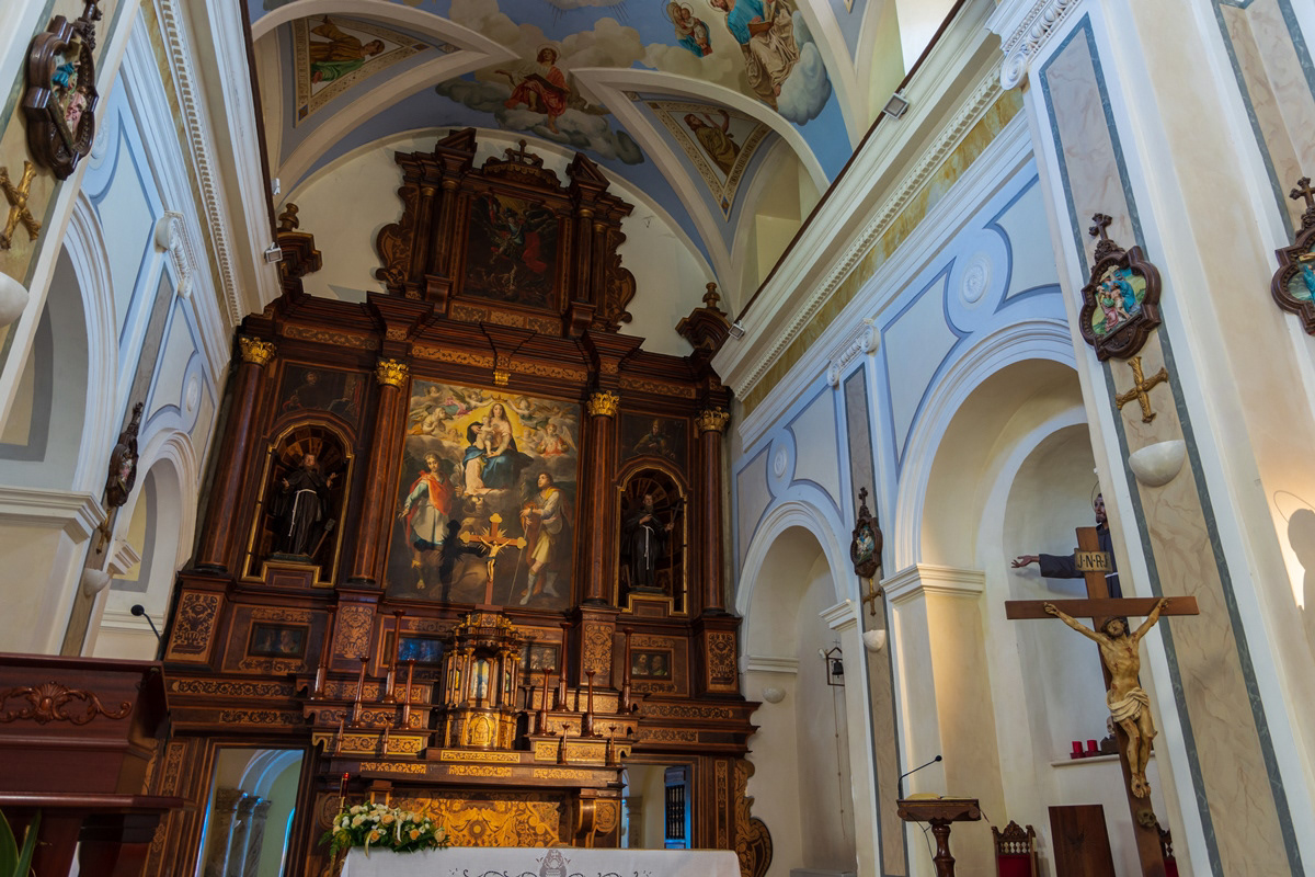
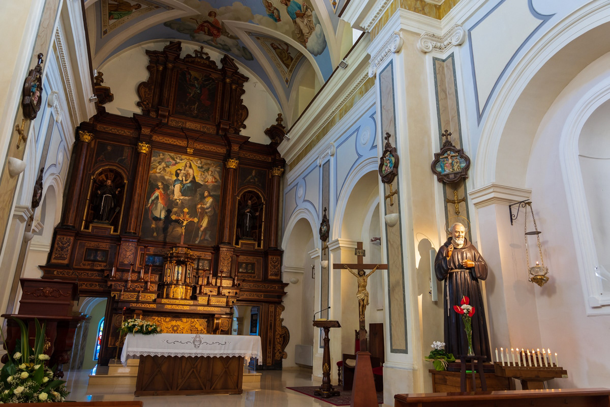
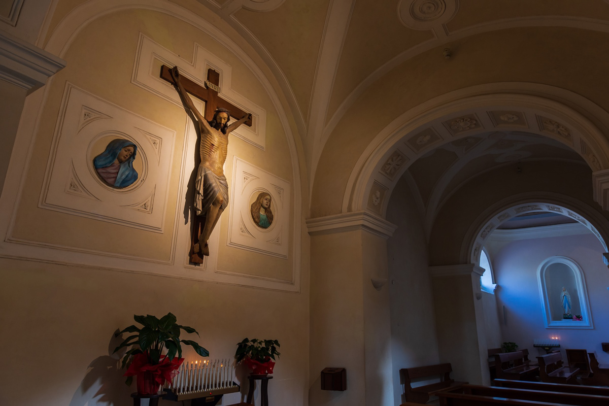
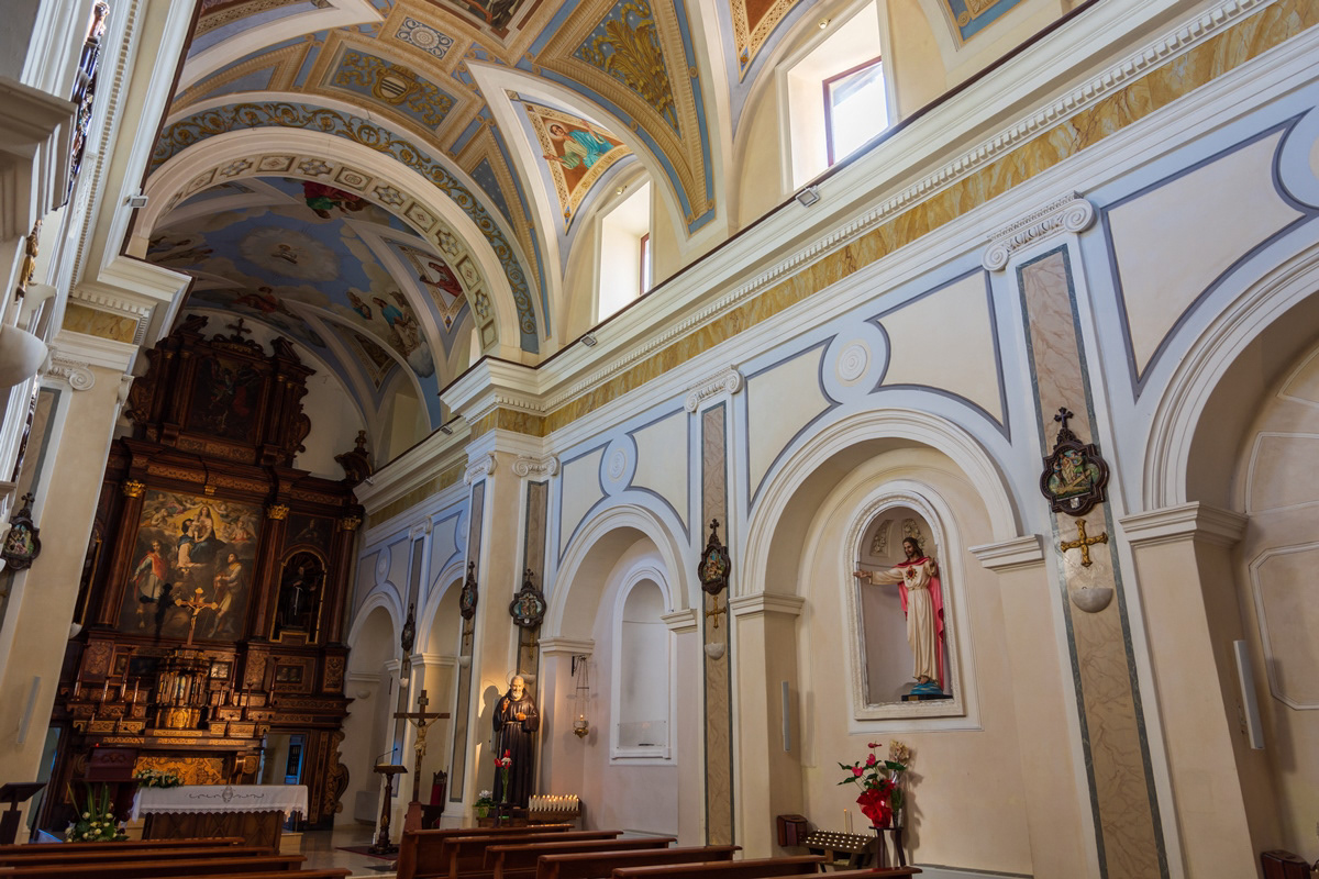
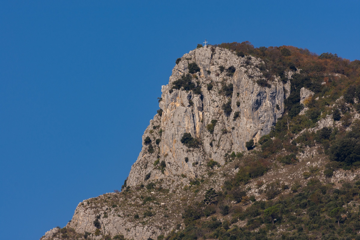
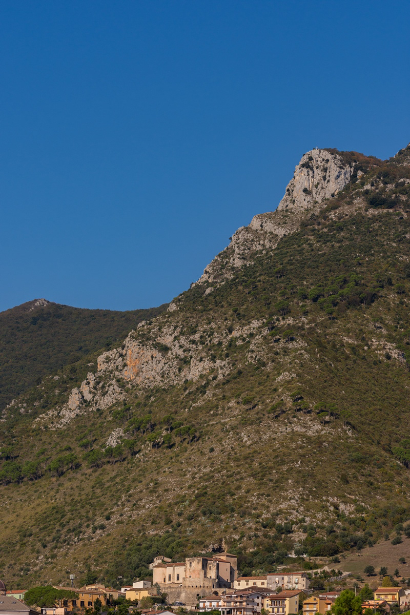
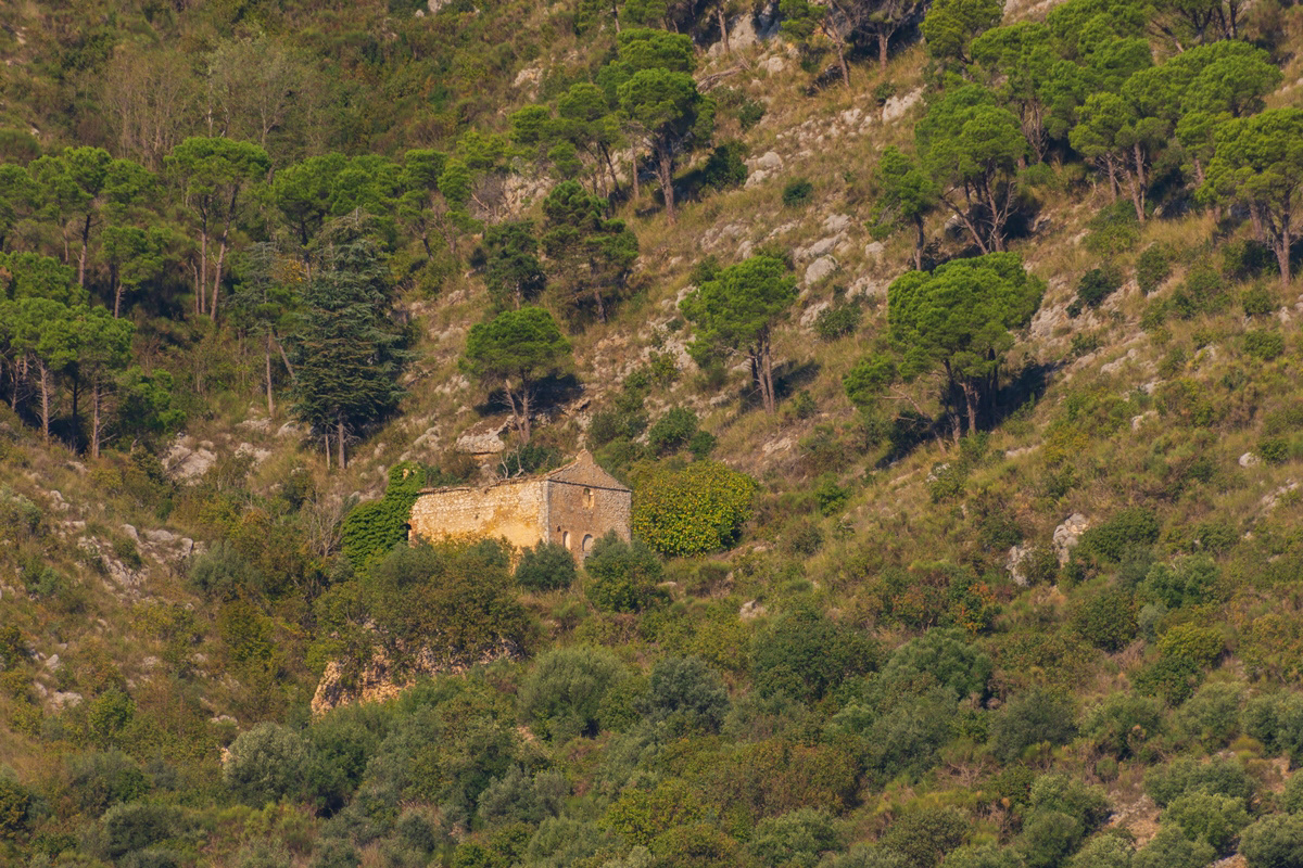
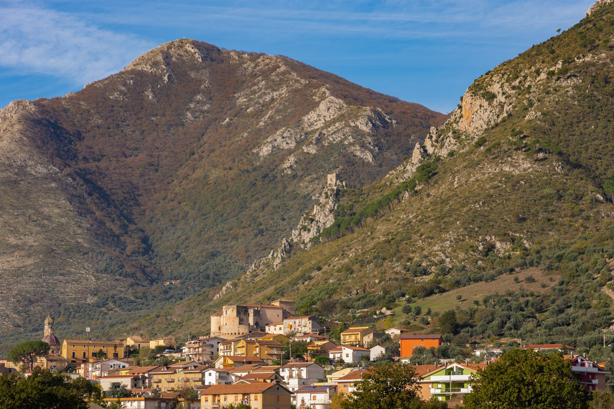
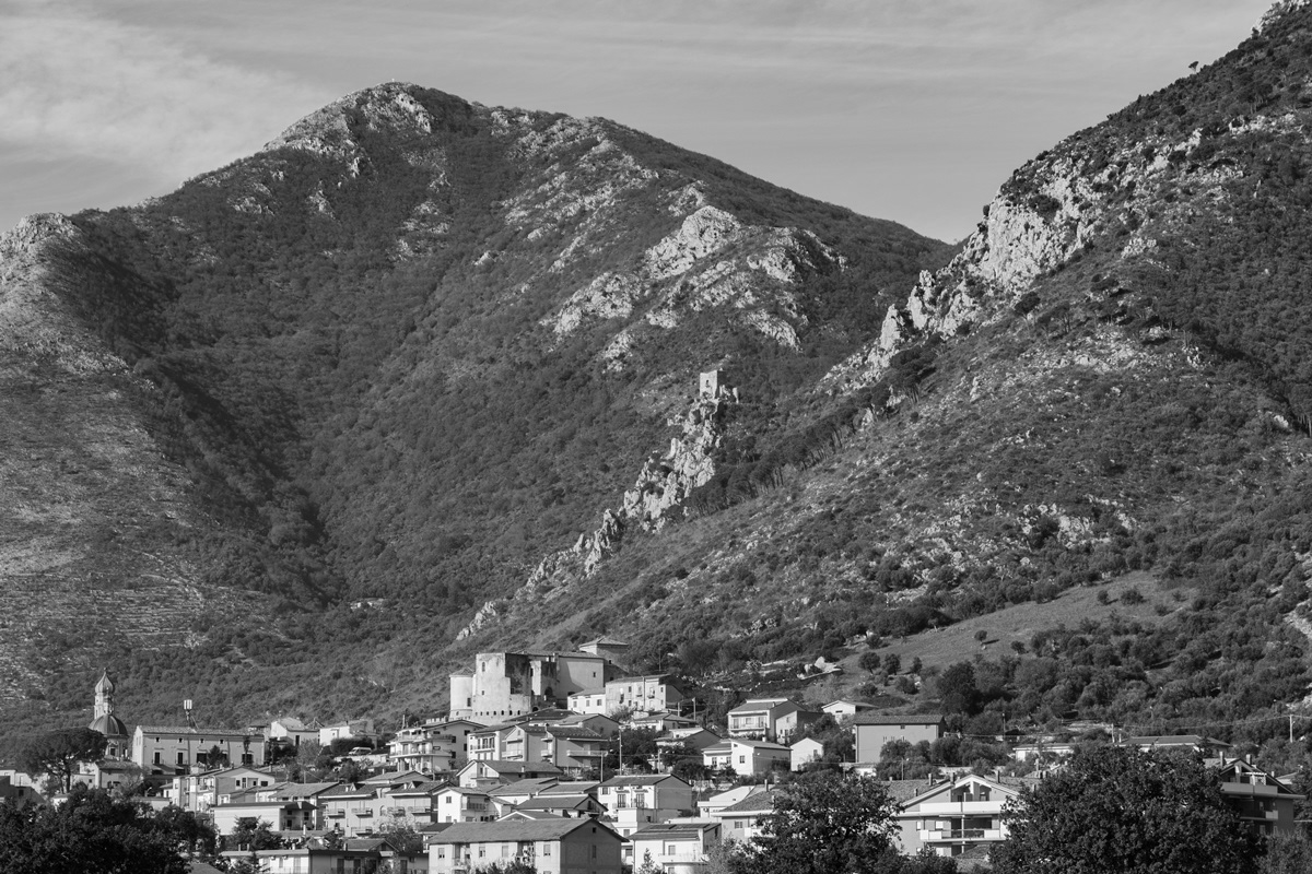
You may also like

2022
Colli a Volturno. Winter 2022
Colli a Volturno (Cuòglië in Molise) is an Italian town of 1 312 inhabitants in the province of Isernia in Molise. The municipal territory extends into the Volturno Valley on the border with the national park of Abruzzo, Lazio and Molise. Colli a Volturno (also called simply Colli), rises on three wooded hills, at an altitude of about 400 m a.s.l. (max. 1 013, min. 236 a.s.l.). The municipal area borders the municipalities of Fornelli, Rocchetta a Volturno, Montaquila, Scapoli, Cerro al Volturno, Macchia d'Isernia, Filignano and Monteroduni. The Collese area, as the name suggests, is mainly hilly interspersed with wide flat spaces. The climate is mild, the average annual temperature is 18.2 ° C, the average rainfall is 862 mm. Summers are warm and temperate, winters are cold but not particularly harsh, sporadic snowfalls, exceptionally abundant those of February 1956, January 1985 and February 2012. In autumn, rainfall is abundant, in August, the hottest month. of the year, the average temperature is 22.4 ° C; in August 2017, an exceptional heat wave caused the mercury column to reach 43 ° C. January is the coldest month, with an average temperature of 5.4 ° C. The driest month is July with an average of 32mm of rain. The month of November is the one with the highest rainfall, having an average of 118 mm. Gusts of wind are not infrequent, even of particular intensity. Temperatures vary by around 17 ° C throughout the year.
2025
Isernia. View from Pesche
2015
Frosolone (IS)
Frosolone con i suoi 3.250 abitanti circa è situato a m 894 sul livello del mare. Visibili da lontano, mentre continuano a girare, come gigantesche girandole lasciate lì chissà da quali bambini stanchi di giocare, i pali del campo prova eolico annunciano che ci stiamo avvicinando a Frosolone e alla sua montagna. E poi i profumi, il verde, l'aria pura e pungente. L'ambiente montano è un sorprendente "mare di verde", uno scrigno prezioso che raccoglie meraviglie dove alberi secolari, stagni e laghetti, cucuzzoli e paesaggi scoscesi, rocce bianche e rifugi, sanno accogliere sapientemente valori paesaggistici (floristici e faunistici) miracolosamente inviolati fino ai nostri giorni. Tutti i mesi dell'anno vanno bene e qualsiasi stagione è buona per visitare la montagna di Frosolone, perché ogni periodo dell'anno è buono per fruire e godere delle sue bellezze. Quassù, su questi monti, anche a più di mille metri sono riusciti a vegetare alberi di faggio e la faggeta di Monte Marchetta e di Colle dell'Orso rappresenta uno dei rari esempi in cui questa specie vegetale è riuscita a convivere felicemente con il clima di queste altitudini. Il più grosso rappresentante vivente è il maestoso faggio del Pedalone, vero e proprio colosso botanico vecchio più di cento anni e alto più di quaranta metri. Proprio in ogni stagione dell'anno, lo spettacolo che offre il Bosco della Grisciata è davvero impareggiabile e ci accompagna fino ai verdi prati e poi alla Valle della Contessa ricoperta di arbusti di uva spina e di siepi di rosa canina.
2025
Isernia. Cathedral of St. Peter the Apostle 26.04.25
2023
Vastogirardi, novembre 2023
Physical geography It is located at 1200 m above sea level. in the part of Molise bordering Abruzzo. The territory of Vastogirardi (IS) extends over an area of 60.72 km² and borders the municipalities of Capracotta to the north, San Pietro Avellana, Castel di Sangro (AQ) and Rionero Sannitico to the west, Forlì del Sannio, Roccasicura and Carovilli to the south, Agnone to the east. From a morphological point of view, the territory is separated from that of Capracotta by reliefs of Monte Capraro, which oscillate between 1300 - 1350 m, which descend steeply to Piano S. Angelo and Difesa Grande and Capo di Trigno (ancient lake basin ) at an altitude of 1100 m from which the Trigno river originates, one of the two most important Molise rivers which flows into the Adriatic Sea and gives its name to the road of the same name which reaches up to San Salvo (CH), i.e. the Trignina. To the west are the mountains of Montagnola (1292 m) and Monte Miglio (1350 m), to the south is Monte Pizzi (1373 m), while to the east are the mountains of Montagna Fiorita with Montarone (1278 m). Vastogirardi develops close to a hill at the top of which are the castle and the ecclesiastical complex of San Nicola di Bari. Inside the walls is the village, which appears well preserved in its original defense function, as evidenced by the cylindrical towers incorporated in factories and the supports between building blocks. The result of subsequent expansions, the churches of S. Rocco and S. Maria delle Grazie were built at the beginning of the 18th century and incorporated into the third urban expansion dating back to the 18th - 19th century. Over the course of the last century the town no longer followed the aggregation trend of stepped bands, according to the morphological trend of the site, but developed along via Garibaldi c.da Difensa (towards Castel di Sangro) and via Re d'Italia (direction Isernia). Origins of the name It is assumed that the name Vastogirardi originates from the name of a crusader captain, Giusto Girardi. In the past it also took the name of Castrum Girardi due to the castle (other attested toponyms are Castel Girardo, Rocca Girardo, Guasti Belardi, Guardia Giraldo and Guardia Gerardo) and subsequently its current name, deriving from an alliteration of Lombard jargon.
2022
Spectacular winter panorama 2022
2021
Roccamandolfi. The Norman Longobard Castle
On the top of the hill on which the town is built there are the ruins of a Norman castle built on a pre-existing Lombard fortress, the subject of studies even in recent times.
2025
Sant’Elena Sannita. Church of St. Michael the Archangel
2025
Larino. Co-Cathedral of Santa Maria Assunta
The Larino Cathedral, or the co-cathedral basilica of Santa Maria Assunta and San Pardo, is located in the city of the same name in the province of Campobasso.
2023
Pietrabbondante. Panorama
Back to Top