You may also like

2007
Castiglione di Carovilli (IS)
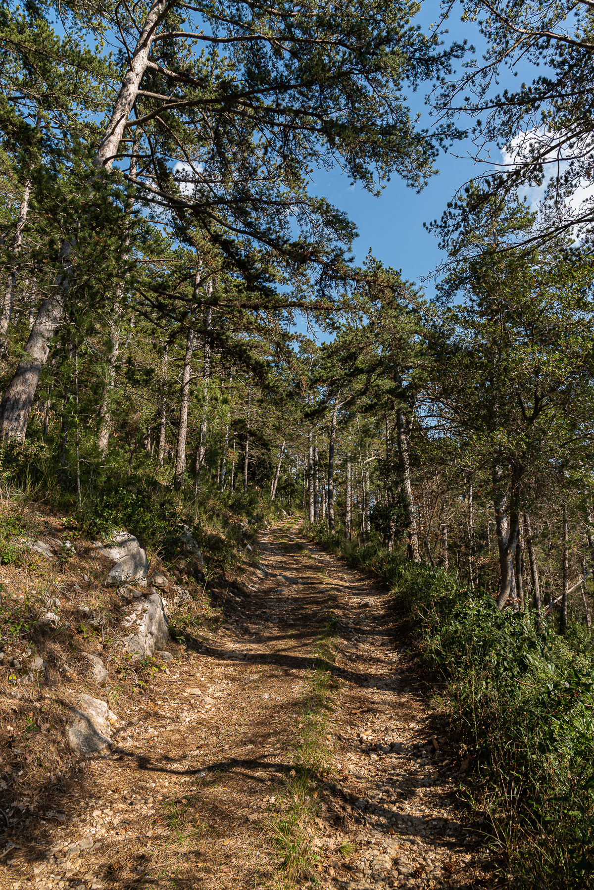
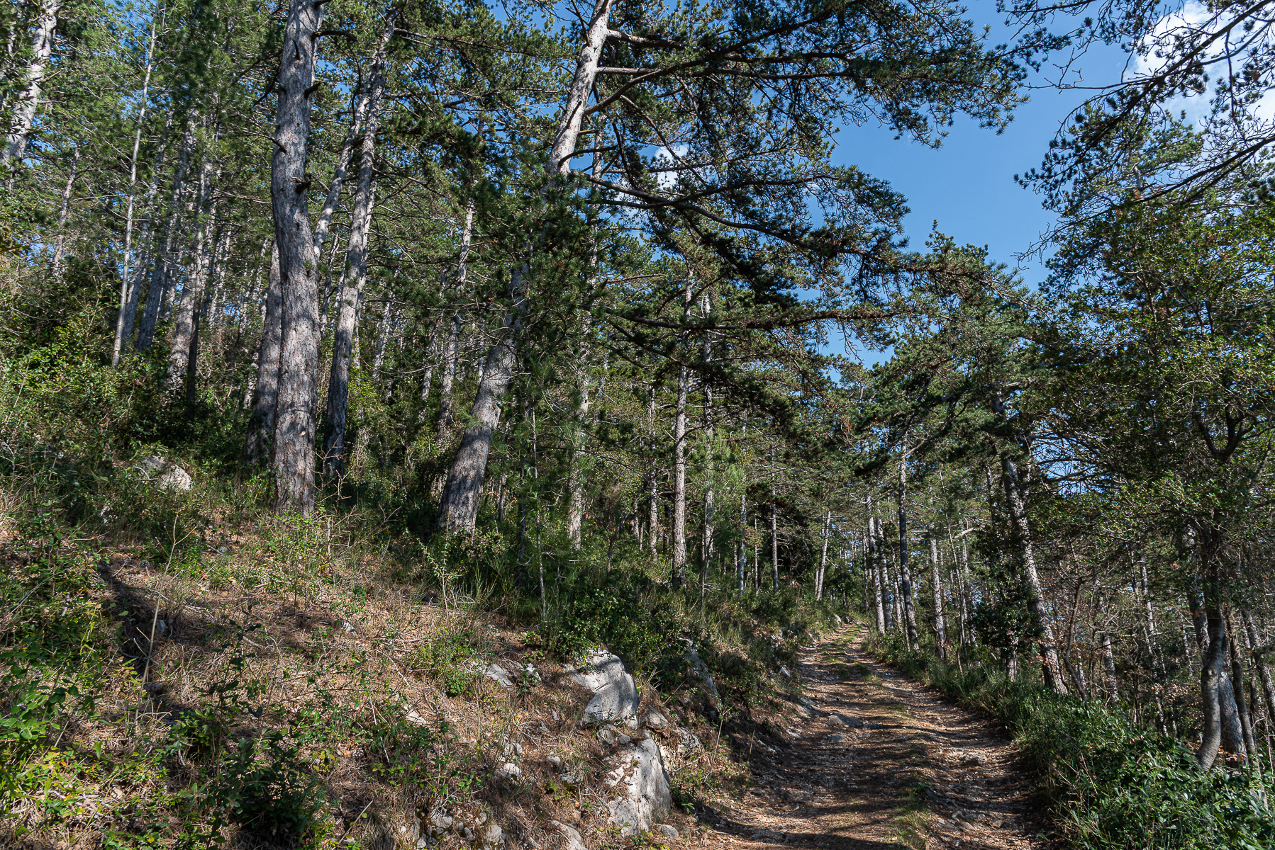
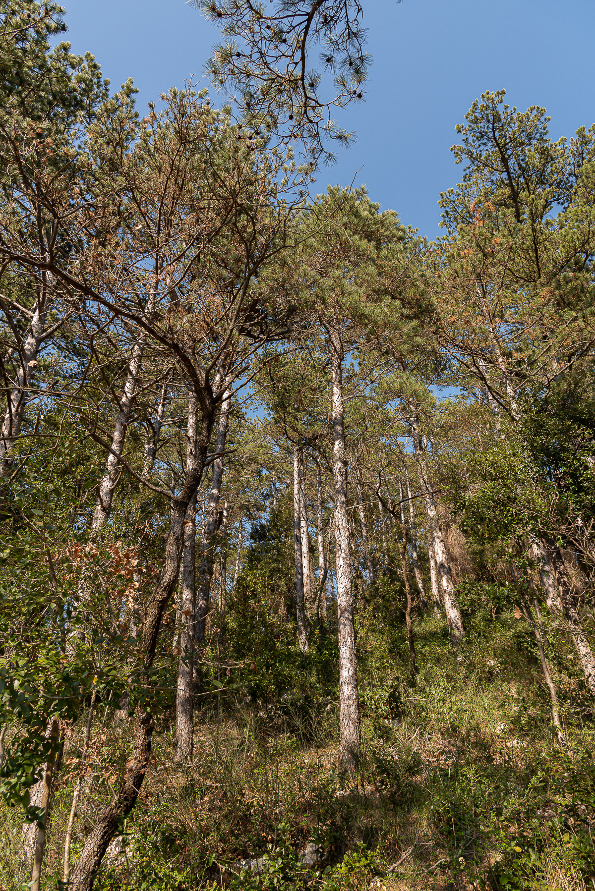
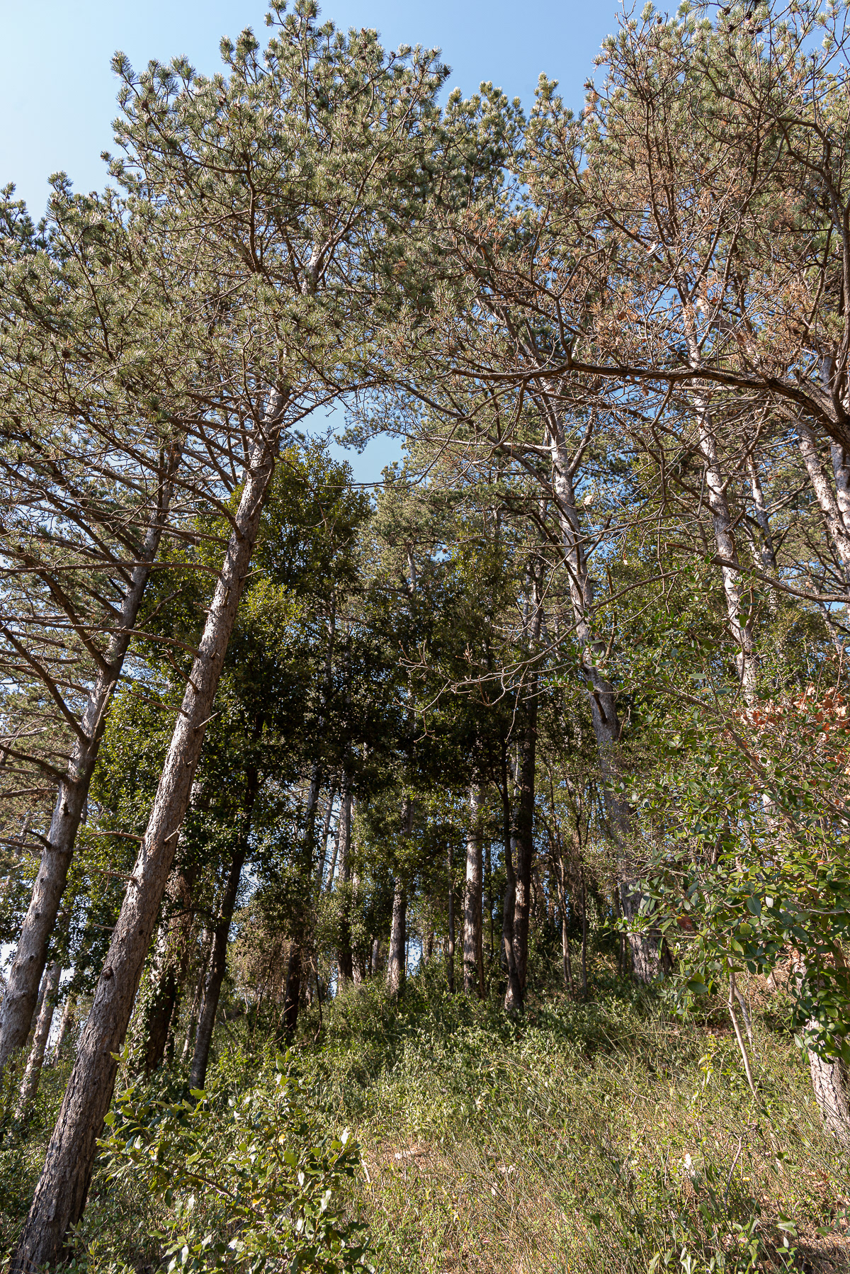
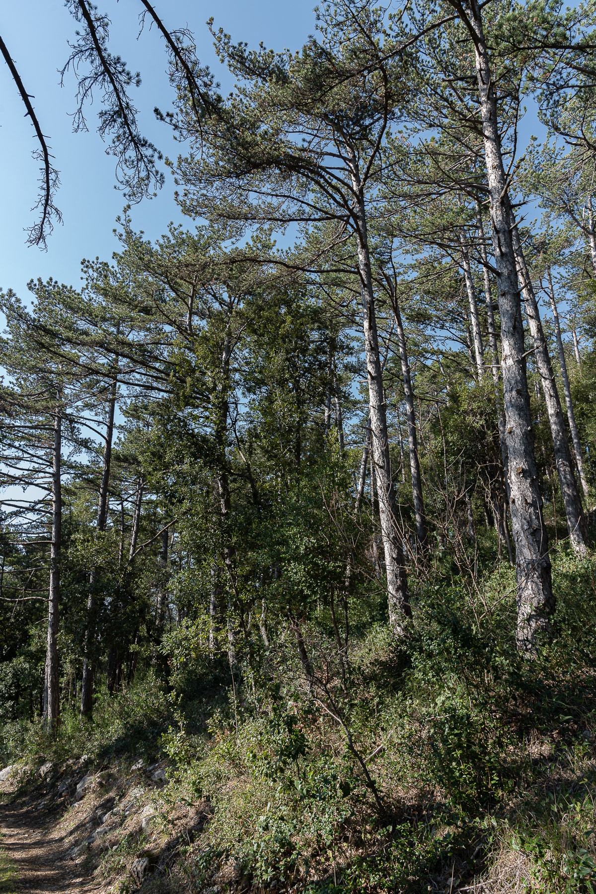
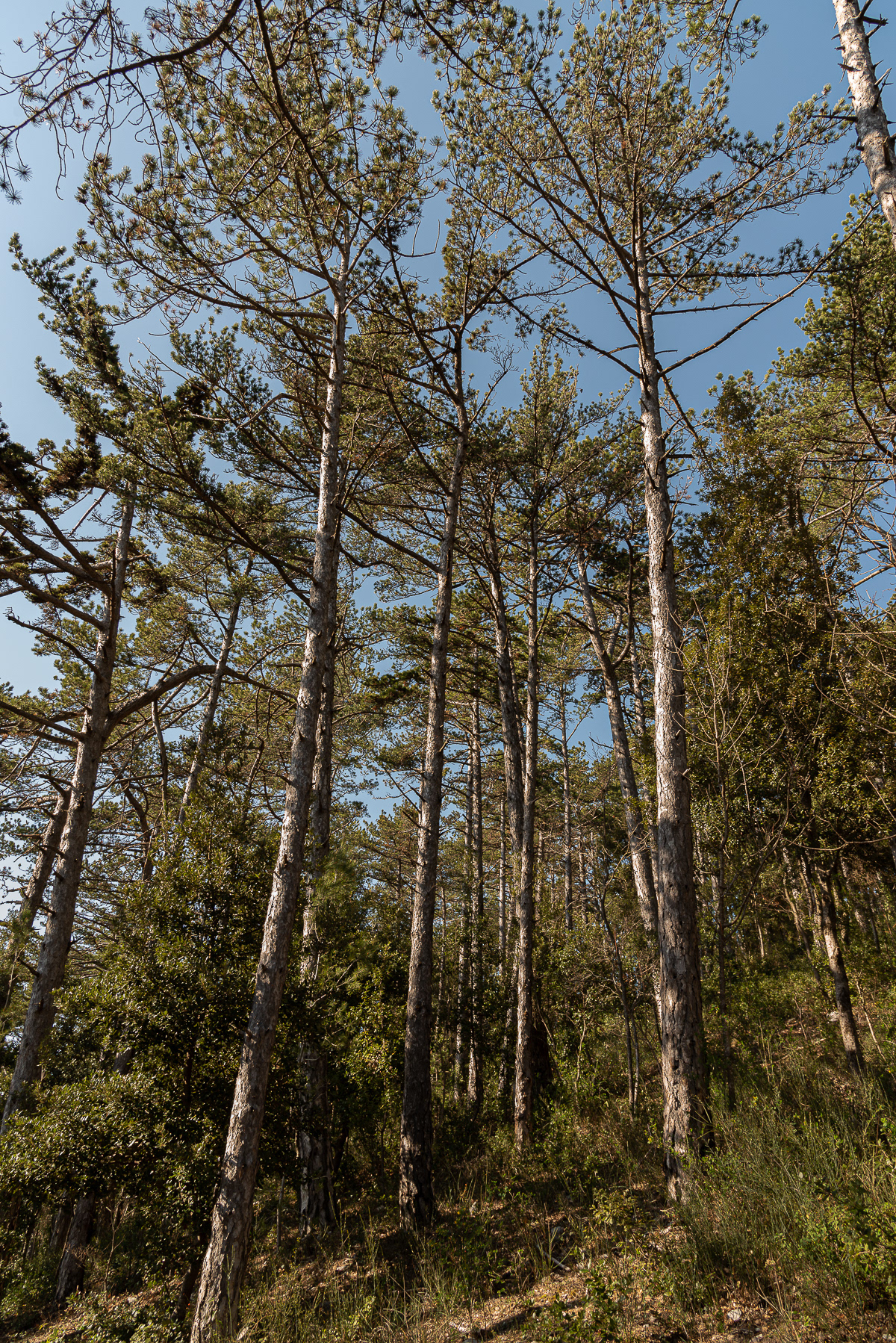
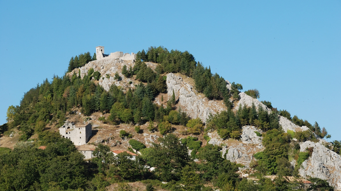
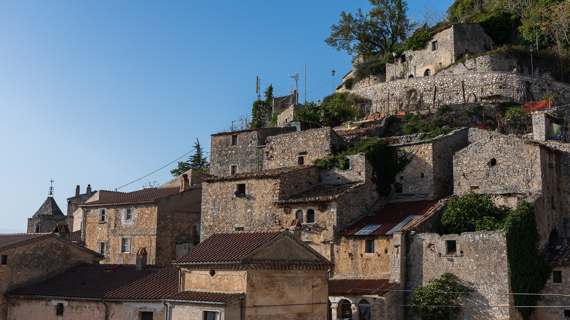
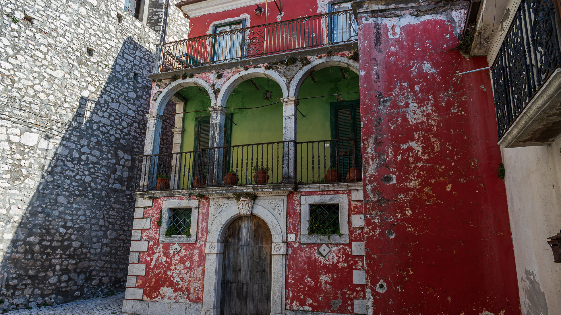
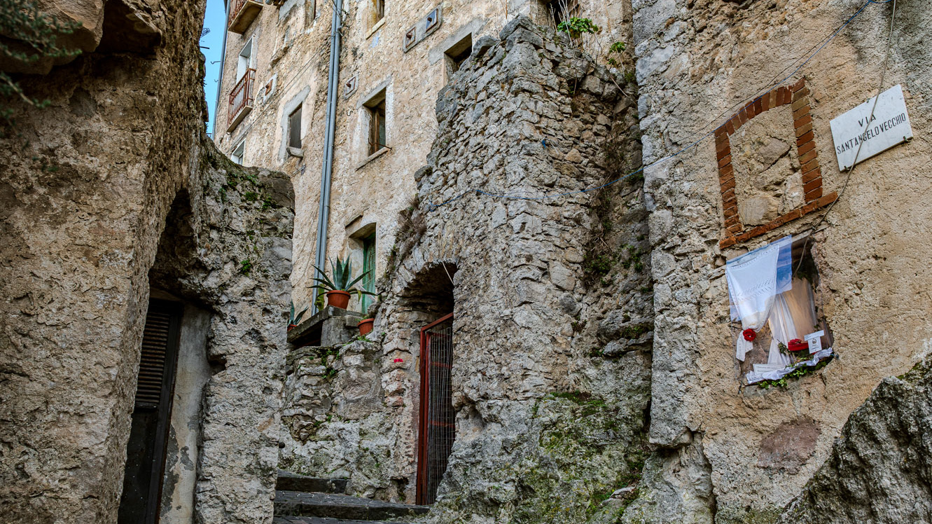
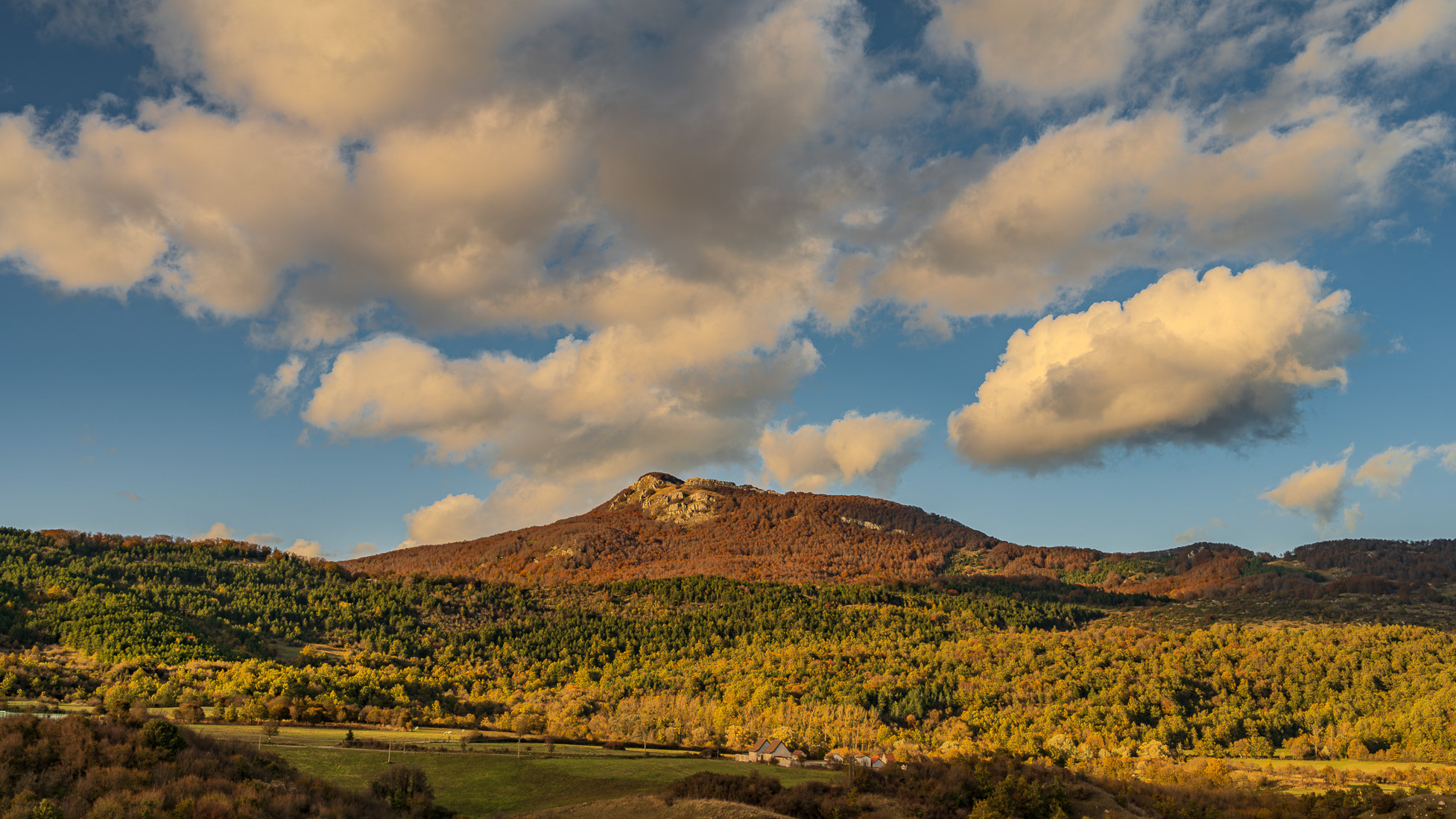
Castiglione di Carovilli (o Castiglione) è una frazione del comune di Carovilli, nella provincia di Isernia, Molise. Sito in una zona di grande valore paesaggistico e faunistico, oggi conta circa 200 abitanti, mentre agli inizi del secolo la popolazione era attorno al migliaio di unità. Rilevante è la presenza dell'Oasi WWF di Collearso (attraversata dal fiume Trigno) nella quale si possono osservare molte specie di mammiferi (cinghiale, daino, volpe, lupo, puzzola europea, tasso, donnola), uccelli (nibbio), rettili (vipera comune, lucertola, biscia) e anfibi. Per ciò che riguarda il patrimonio storico e architettonico va segnalata l'antica chiesa sul colle, risalente al Quattrocento, che oggi, specie nei mesi estivi, ospita manifestazioni teatrali e di musica classica.
2021
Isernia. S. Spirito railway bridge
2025
Monteroduni. The Pignatelli Castle
Pignatelli Castle dates back to the 18th century, when the Lombards erected a small fort, with the chapel of San Michele, their patron saint, now the parish church of the town.
2022
Pesche, village in the province of Isernia, in Molise
Pesche, village in the province of Isernia, in Molise, perched along the steep slopes of Mount San Marco, a white spot against the green of the mountain and the gray of the stones.
2023
Macchia d'Isernia. Glimpses and panoramas
Macchia d'Isernia is an Italian town of 1,008 inhabitants in the province of Isernia in Molise. The most important monuments are the baronial castle D'Alena and the church of San Nicola di Bari.
2025
Pesche. The Ancient Village
2023
Castelpetroso. Sanctuary of the Madonna Addolorata
The basilica sanctuary of Maria Santissima Addolorata, or simply the Addolorata basilica is an important Catholic place of worship located in the municipality of Castelpetroso, in the province of Isernia, and belonging to the archdiocese of Campobasso-Boiano. According to the testimony of the visionaries, the Virgin Mary appeared for the first time on March 22, 1888 to two shepherdesses named Serafina and Bibiana in the locality of Cesa tra Santi, on the slopes of Mount Patalecchia. This first apparition was followed by others and, following the recognition of this phenomenon, Pope Paul VI proclaimed Maria Santissima Addolorata of Castelpetroso patroness of Molise on 6 December 1973. In the 1890s, it was decided to build a sanctuary near the place of the apparitions, but further downstream from this, so that it would be more easily accessible by pilgrims. The project was entrusted to Giuseppe Gualandi, whose death (1944) was succeeded by his son Francesco. On 28 September 1890 the first stone was laid and construction of the sanctuary began. It proceeded slowly due to economic problems and the two world wars: in 1907 the chapel of the Poles was finished and opened for worship, but the perimeter walls of the church were completed only in 1950, thanks to donations from don Nicolino Passarelli, canon theologian of the cathedral of Venafro, lawyer of the Sacra Rota and professor. In the following decades the sanctuary was completed and consecrated on 21 September 1975 by the bishop of Boiano-Campobasso Alberto Carinci.
2022
Rocchetta al Volturno
Rocchetta a Volturno is an Italian town of 1 098 inhabitants in the province of Isernia in Molise. The Municipality of Rocchetta al Volturno is made up of two nuclei: the original village, called Rocchetta Alta, or Rocchetta Vecchia, still perched in a defensive position on the mountain, and Rocchetta Nuova, which is located at a lower altitude. The new Rocchetta was born because, at the end of the 19th century, the slope that connected the southern part of the ancient town with the opposite hill was deforested and the land began to show serious subsidence from 1890 due to the progressive sliding of the superimposed layers of clay and sandstone, increased by water infiltrations, both rain and spring. In 1905, following further disastrous events, the population moved for the most part downstream, where there was a hamlet called Case Sparse. The modern town is developed today in the center of a plateau, bordered to the west by the terminal part of the Mainarde chain and to the east by a depression, at the bottom of which the Volturno flows; about two kilometers away are the sources of the river. Its name characterizes the toponyms of other nearby municipalities such as Colli a Volturno and Cerro al Volturno.
2025
Frosolone. Glimpses of the historic center
2023
Spectacular autumn landscape
Back to Top