Rionero Sannitico. Church of San Bartolomeo Apostolo
2024
Mother church of San Bartolomeo Apostolo. Formerly dedicated to S. Maria Assunta in cielo. Its shape is a Latin cross, with three naves separated by two rows of columns.
You may also like
2018
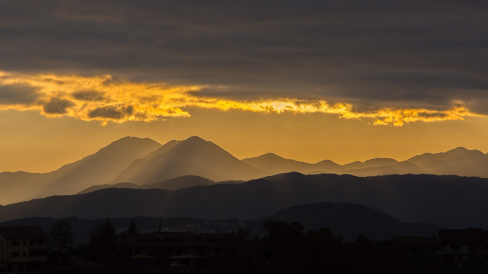
Tramonti molisani
2015
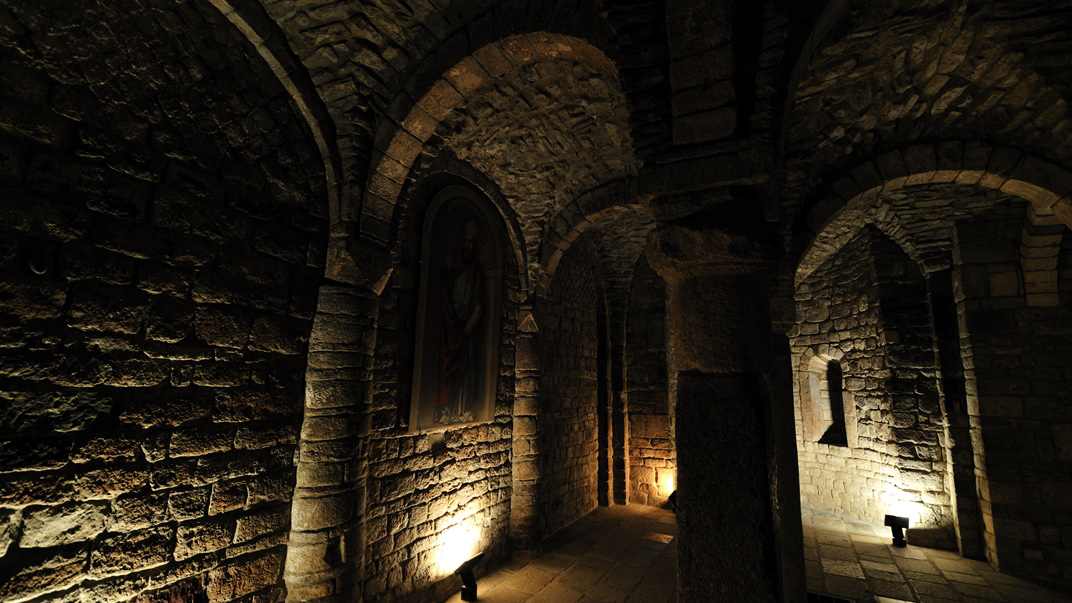
Trivento (CB)
Trivento è un comune italiano di 4 663 abitanti della provincia di Campobasso, in Molise. È sede vescovile. Cattedrale dei Santi Nazario, Celso e Vittore: principale edificio religioso, fu costruita sopra il tempio di Diana e dove ora si trova la Cripta di San Casto. La chiesa venne ampliata nel XIII secolo e restaurata completamente nel 1726 in stile barocco. L'altare maggiore è di Paolo Saverio di Zinno. Di intessere è la Cripta paleocristiana in sette piccole navate con volte a crociera; presso la tomba di San Casto si trova un bassorilievo della Trinità tra due delfini. Palazzo comitale, noto anche come Palazzo Colaneri, si trova in posizione dominante sul borgo, risalente, per la forma esterna, al dominio dei Caldora nel XV secolo. La struttura presenta alte mura di cinta, con pianta irregolare, e due ingressi principali. L'interno è stato modificato nei secoli, la parte sotterranea è spartana perché usata in passato come carcere di mentre al piano nobile si conserva un salone con affreschi. Chiesa di San Nicola di Bari : costruzione del XVI secolo, in con restauro barocco dei secoli successivi, dei quali risale la statua del Sacro Cuore. La chiesa è semplice e con un impianto a capanna, e facciata alternata da mattoni e intonaco, con campanile a vela. Scalinata del borgo di San Nicola : in tutto sono 365 gradoni e costituiscono l'accesso principale alla piazza del Duomo. Sperone roccioso "Morgia dei briganti": noto per lo scorrazzare di briganti nel periodo post unitario.
2022
Archaeological complex of the Cathedral of Isernia.
This complex testifies to what remains of the Italic temple from the second half of the third century. BC, preserved thanks to the fact that what is now the cathedral of Isernia was built on it.

2025
Frosolone. Church of San Michele Arcangelo
2022
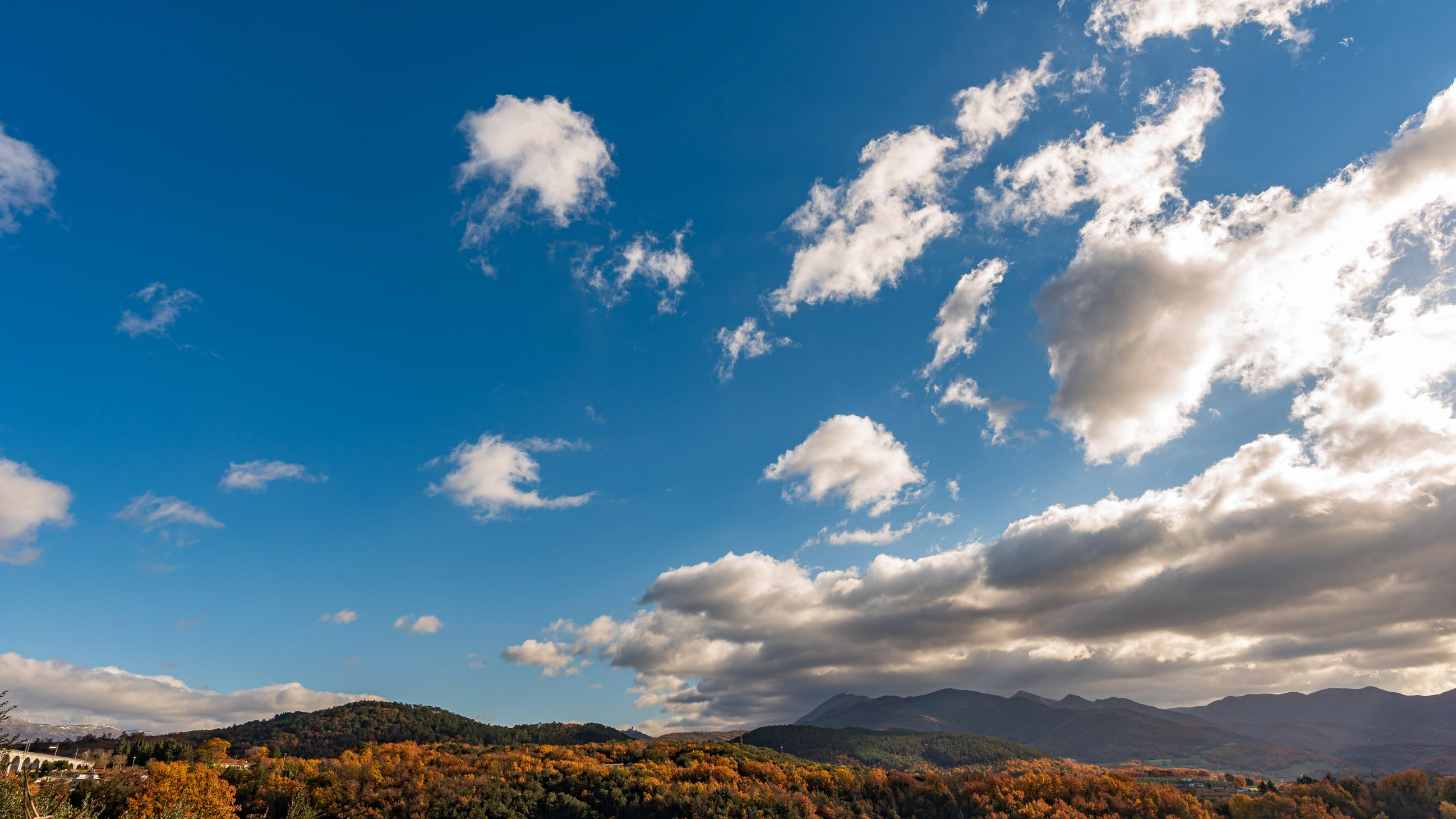
Molise, Italy. Spectacular autumn panorama.
Molise is an Italian region with a stretch of coast overlooking the Adriatic Sea. It includes a part of the Abruzzo National Park in the Appennine mountain range, with a rich wildlife and trails.
2022
Molise, autumn 2022
2023
Vastogirardi, novembre 2023
Physical geography
It is located at 1200 m above sea level. in the part of Molise bordering Abruzzo. The territory of Vastogirardi (IS) extends over an area of 60.72 km² and borders the municipalities of Capracotta to the north, San Pietro Avellana, Castel di Sangro (AQ) and Rionero Sannitico to the west, Forlì del Sannio, Roccasicura and Carovilli to the south, Agnone to the east. From a morphological point of view, the territory is separated from that of Capracotta by reliefs of Monte Capraro, which oscillate between 1300 - 1350 m, which descend steeply to Piano S. Angelo and Difesa Grande and Capo di Trigno (ancient lake basin ) at an altitude of 1100 m from which the Trigno river originates, one of the two most important Molise rivers which flows into the Adriatic Sea and gives its name to the road of the same name which reaches up to San Salvo (CH), i.e. the Trignina. To the west are the mountains of Montagnola (1292 m) and Monte Miglio (1350 m), to the south is Monte Pizzi (1373 m), while to the east are the mountains of Montagna Fiorita with Montarone (1278 m). Vastogirardi develops close to a hill at the top of which are the castle and the ecclesiastical complex of San Nicola di Bari. Inside the walls is the village, which appears well preserved in its original defense function, as evidenced by the cylindrical towers incorporated in factories and the supports between building blocks. The result of subsequent expansions, the churches of S. Rocco and S. Maria delle Grazie were built at the beginning of the 18th century and incorporated into the third urban expansion dating back to the 18th - 19th century. Over the course of the last century the town no longer followed the aggregation trend of stepped bands, according to the morphological trend of the site, but developed along via Garibaldi c.da Difensa (towards Castel di Sangro) and via Re d'Italia (direction Isernia).
Origins of the name
It is assumed that the name Vastogirardi originates from the name of a crusader captain, Giusto Girardi. In the past it also took the name of Castrum Girardi due to the castle (other attested toponyms are Castel Girardo, Rocca Girardo, Guasti Belardi, Guardia Giraldo and Guardia Gerardo) and subsequently its current name, deriving from an alliteration of Lombard jargon.
2023
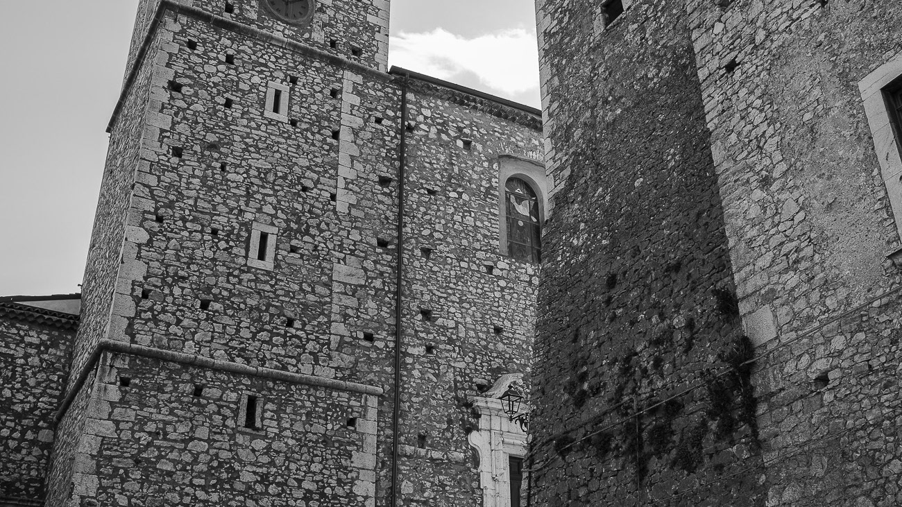
Macchia d’Isernia. Church of San Nicola di Bari.
The church is located in the center of the village and dates back to the 14th century. it was restored in 1780, and dedicated to San Nicola di Bari in homage to Nicola d'Alena.
2021
Pescopennataro. Glimpses of summer
Pescopennataro is an Italian town of 244 inhabitants in the province of Isernia, in Molise. Until 1790 it was an integral part of the Giustizierato d'Abruzzo and of the Abruzzi Citrior.
2023
Fornelli
Fornelli, italian municipality of 1,883 inhabitants in the province of Isernia in the Molise region. It is part of the circuit of the most beautiful villages in Italy.
