Manoppello. Abbey of Santa Maria Arabona
2024
Santa Maria de Arabona is an abbey dating back to the end of the 12th century located in the hamlet of the same name in the municipality of Manoppello (PE), declared a national monument in 1902.
You may also like
2022
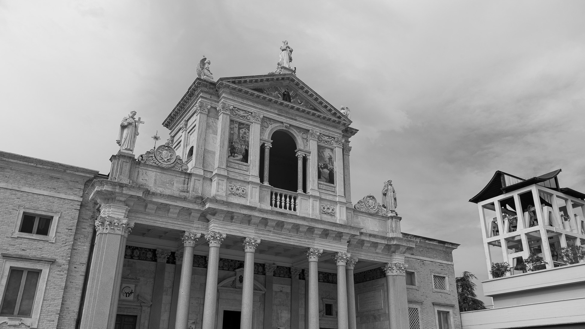
Isola del G. Sasso d’I. San G. dell'Addolorata
The sanctuary of S. Gabriele dell'Addolorata is a sanctuary of the Catholic Church located at the foot of the Gran Sasso d'Italia, in the municipality of Isola del Gran Sasso d'Italia.
2023
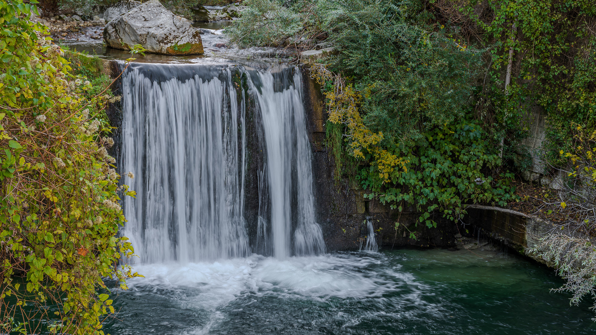
Palena. The waterfalls of the Aventine river
The Aventine is a 45 km long river in Abruzzo, born from the sources of Capo di Fiume, located within the municipality of Palena, located at 863 m above sea level, downstream of the Cotaio stream.
2024
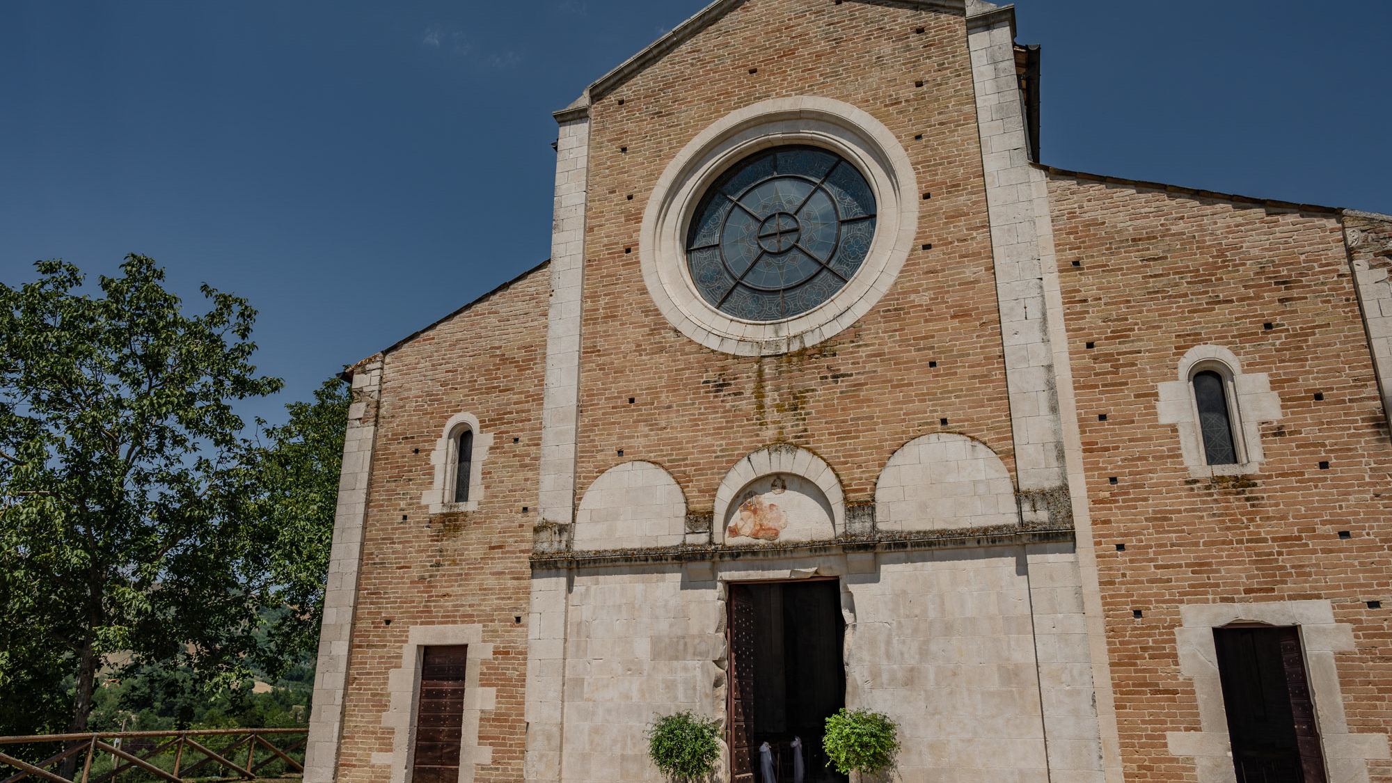
Castel Castagna. The church of Santa Maria di Ronzano
The church of Santa Maria di Ronzano stands on a hill in the Mavone valley. The building belonged to the abbey monastic complex of the Benedictine order who also had the convent here.
2024
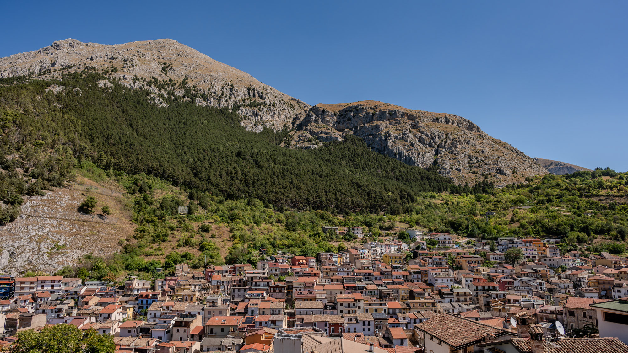
Celano and the Fucino Plain
Celano is a splendid town in Abruzzo, overlooking the Fucino plain, composed of a medieval village which in the upper part still preserves the Castle dating back to the 14th century.
2017
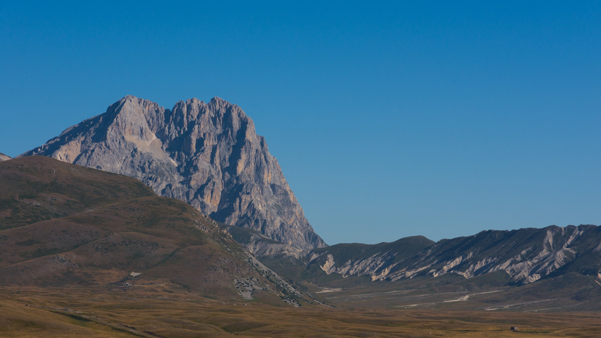
Abruzzo - Gran Sasso of Italy
The Gran Sasso (or Gran Sasso d'Italia) is the highest mountain massif of the continental Apennines, located in the central Apennines, entirely in Abruzzo, as part of the easternmost ridge of the Abruzzo Apennines, on the border between the provinces of L ' Aquila, Teramo and Pescara. It borders to the north with the territories of Fano Adriano, Pietracamela, Isola del Gran Sasso d'Italia, Castelli and Arsita, to the east with the Gorges of Popoli, to the south-west directly with the plain of Assergi, further downstream with L'Aquila , to the south it is limited by Campo Imperatore and downstream by the Piana di Navelli, while to the west-north-west it borders the chain of the Monti della Laga and Lake Campotosto, separated from them by the upper Vomano Valley and the state road 80 of the Gran Sasso d'Italia that crosses it. The Gran Sasso d'Italia is a protected environmental area with the establishment of the Gran Sasso and Monti della Laga National Park. It includes the Gran Sasso mountain community and the Campo Imperatore-Piana di Navelli mountain community.
2022
Abruzzo, Italy. Spectacular landscapes
Abruzzo is an Italian region located east of Rome, between the Adriatic and the Apennines. The hinterland is mostly made up of national parks and nature reserves. The region also includes medieval and Renaissance villages perched on the hills. The regional capital, L'Aquila, is a city surrounded by walls, damaged by the earthquake of 2009. The Costa dei Trabocchi, with its sandy coves, takes its name from the traditional fishing jetties.
2023
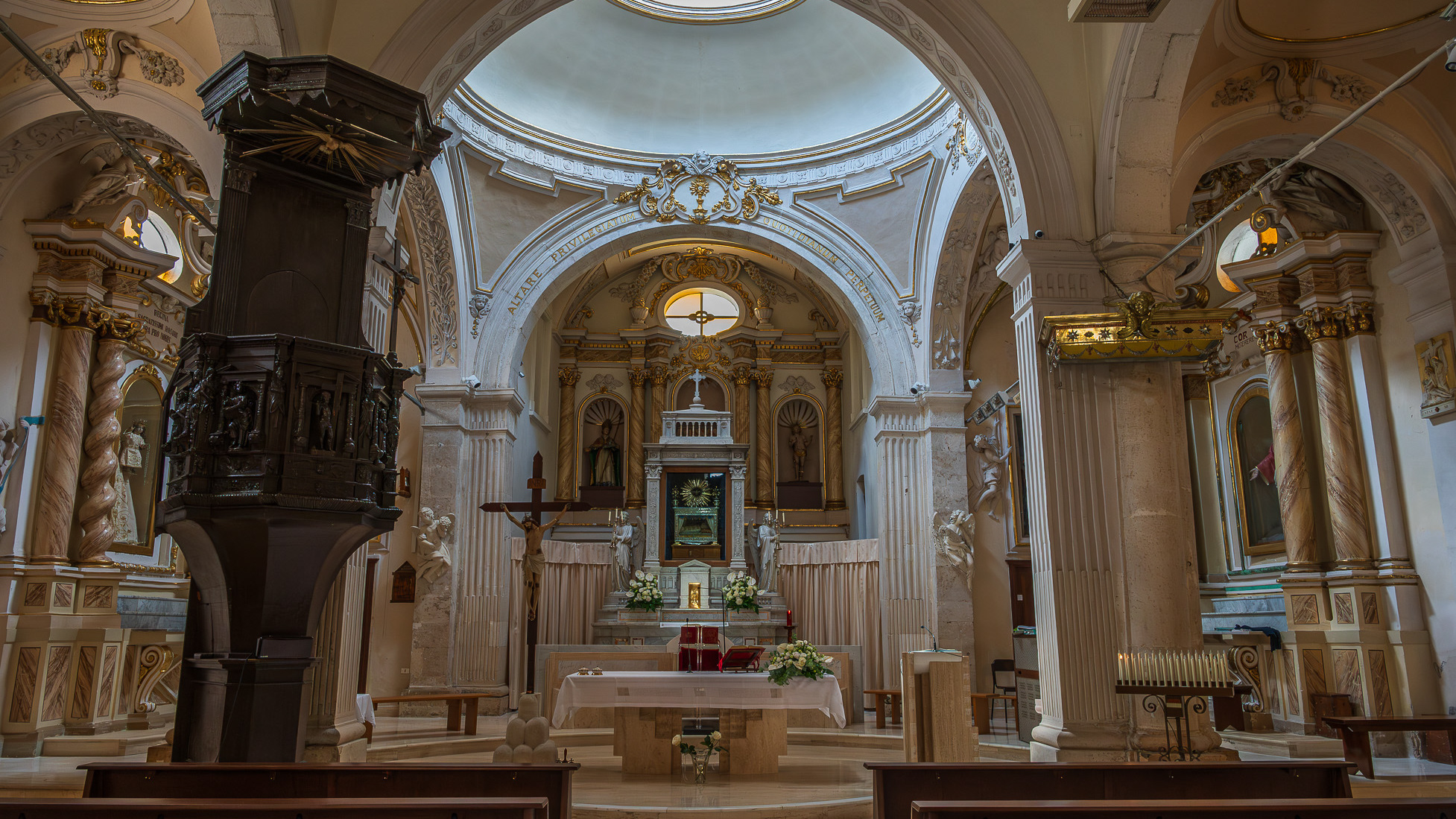
Lama dei Peligni. Church of S. Nicholas and Clemente
Parish Church of the Child Jesus or of Saints Nicholas and Clemente. The parish church, originally dedicated to SS. Nicola and Clemente, was dedicated in 2015 to the Child Jesus, with a Decree of the archbishop mons. Bruno Strong. It is located in Piazza Umberto I, in front of the town hall. The original building dates back to the 16th century. An epigraph on the bell tower attests that the church was built in 1589 in the eighteenth century two windows were added on the facade for more light. The portico, located on the right side, dates back to the 20th century. The facade is rectangular. A tympanum dominates the portal, while a rose window is decorated with some little heads of angels. The portico has six bays with a round arch. The bell tower has three levels marked on the outside by a stringcourse frame. The interior has three naves, one central and two lateral. In the side aisles there are minor altars, with representations of saints. In the right aisle appear, in order, a niche with St. Sebastian, a first modern altar with an effigy of the Divine Mercy (recently set up), which houses the baptismal font, the latter covered by a late Gothic wooden chest dating back to the nineteenth century. Subsequently there is an altar with Our Lady of Sorrows and the dead Christ, then an altar with St. Anthony of Padua and finally a last one with the representation of the Sacred Heart of Jesus. In the left aisle there is, in order, a first altar with the Madonna del Rosario, then an altar with a painting of the Madonna delle Grazie. Subsequently an altar with S. Cesidio, followed by that in honor of S. Giuseppe. Finally there is a niche with S. Gabriele dell'Addolorata. At the back of the church, on the entrance door, there is a mezzanine supported by four columns, which houses a pipe organ built in the 17th century. At the end to the left of the central nave there is a wooden pulpit, with representations of the life of Jesus. The main altar is located at the end of the central nave, located in the center of the presbytery and is illuminated by the light from the dome. Behind the altar is the urn of the Holy Child, with the tabernacle below.
2024
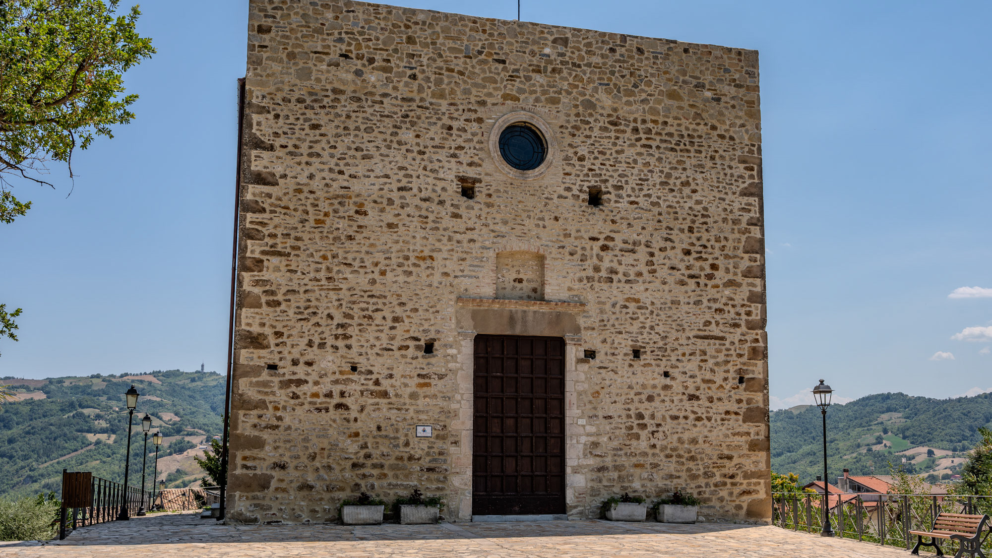
Santa Maria di Basciano. Church of S. M. in Porto Lungo
The Church of S. Maria a Porto Lungo is of notable artistic interest, dating back to the 14th century and, built on an ancient pagan temple, is in Romanesque style.
2021
Rio Verde
The Rio Verde was born in Quarto, between Abruzzo and Molise, and after a short path it joins the Sangro with a considerable difference in height (400 m) creating the spectacular waterfalls divided into three consecutive jumps of 200 meters.
2017
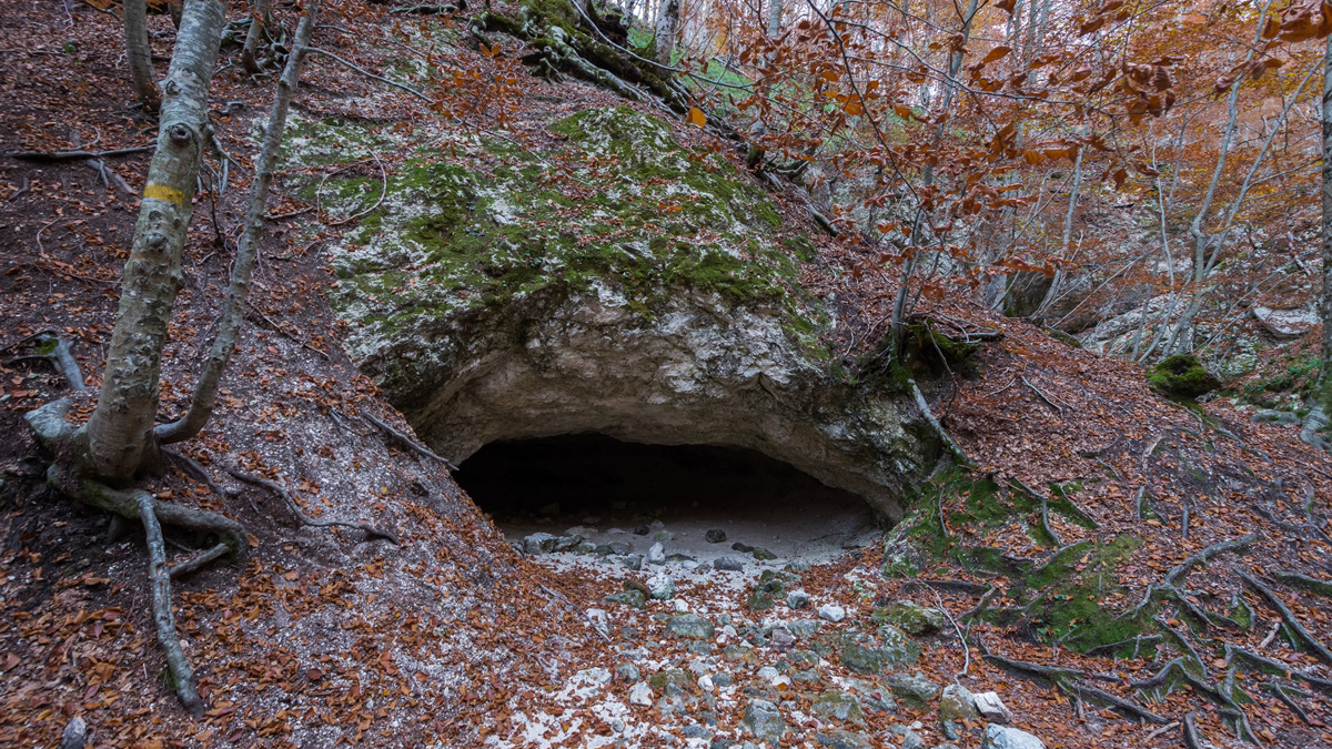
P.N.A.L.M. - Part II
The National Park of Abruzzo, Lazio and Molise is a national park including for the most part (about 3/4) in the province of L'Aquila in Abruzzo and for the remainder in that of Frosinone in Lazio and in that of Isernia in Molise. It was inaugurated on 9 September 1922 in Pescasseroli, the current headquarters and central management of the park, while the body of the same name had already been established on 25 November 1921 with a provisional directorate. Its establishment took place officially with the Royal decree-law of 11 January 1923.
