Roccamandolfi. The Tibetan bridge
2021
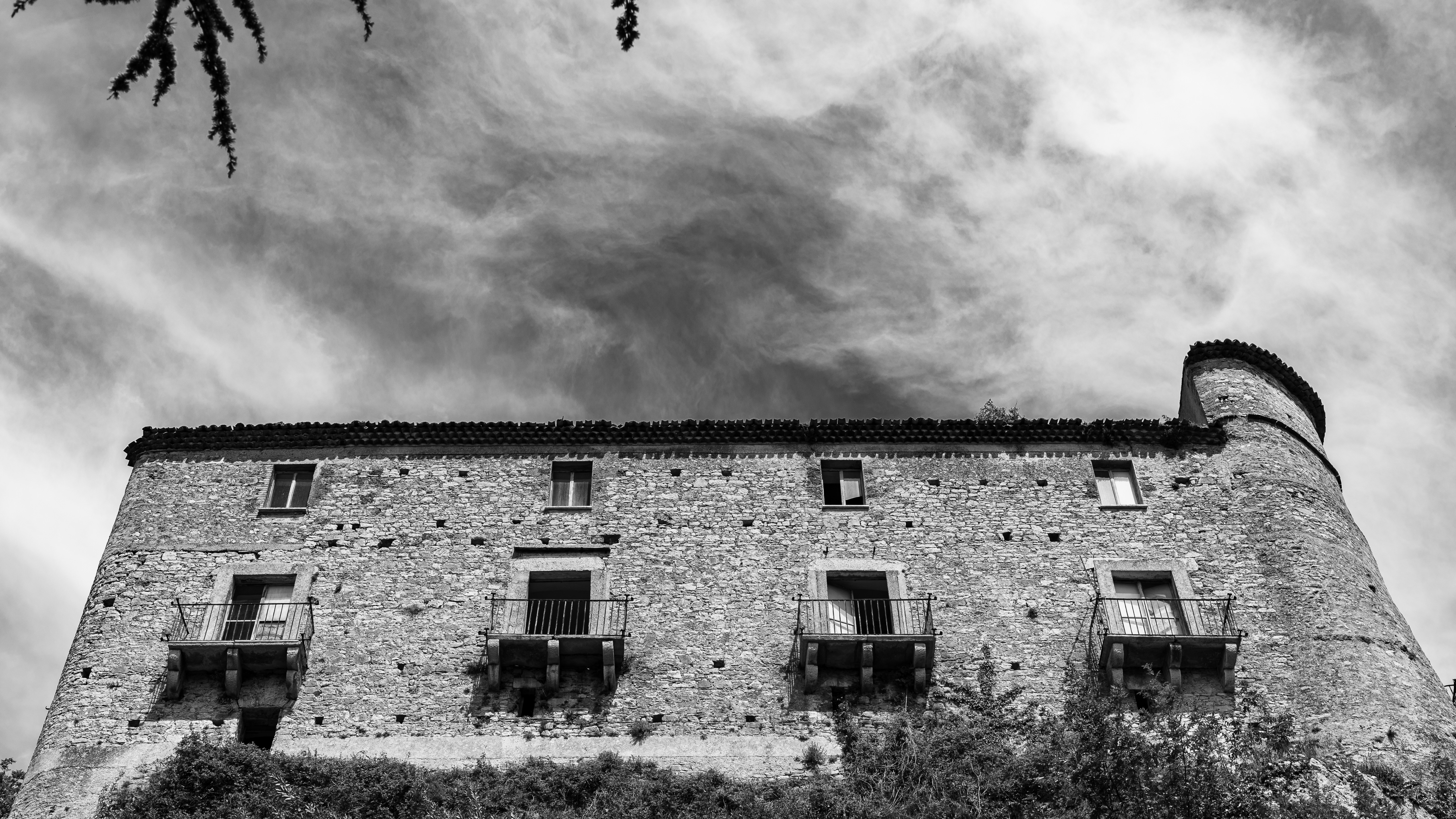
A metal bridge suspended in the air, 234 meters long and reaching 140 meters above ground level, has been installed near the Roccamandolfi Castle for some years now.
You may also like
2025
The Guardialfiera or Liscione lake
2020
Carpinone. Il Castello
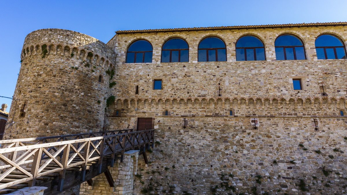
The Castle of Carpinone was probably built in the Norman period and from the time of its construction until the end of the thirteenth century the building was repeatedly enlarged and equipped with greater fortifications to become one of the strongholds of Tommaso da Celano. In 1223, on the basis of an edict issued by Frederick II of Swabia, the castle was destroyed by Ruggiero di Pescolanciano. It was then rebuilt during the 14th century by the d'Evoli family and during the 15th century it returned to its former glory thanks to the commitment of Giacomo Caldora. The last family that bought the fiefdom, that of the de Riso, maintained it until the abolition of feudalism, in 1806. In 1954 the notary Valente, one of the last owners, had the entire main floor and the second floor rebuilt, adapting them to new housing needs. Currently the castle is presented, with its three surviving towers, in a state of evident majesty.
2022
Colli a Volturno. Winter 2022
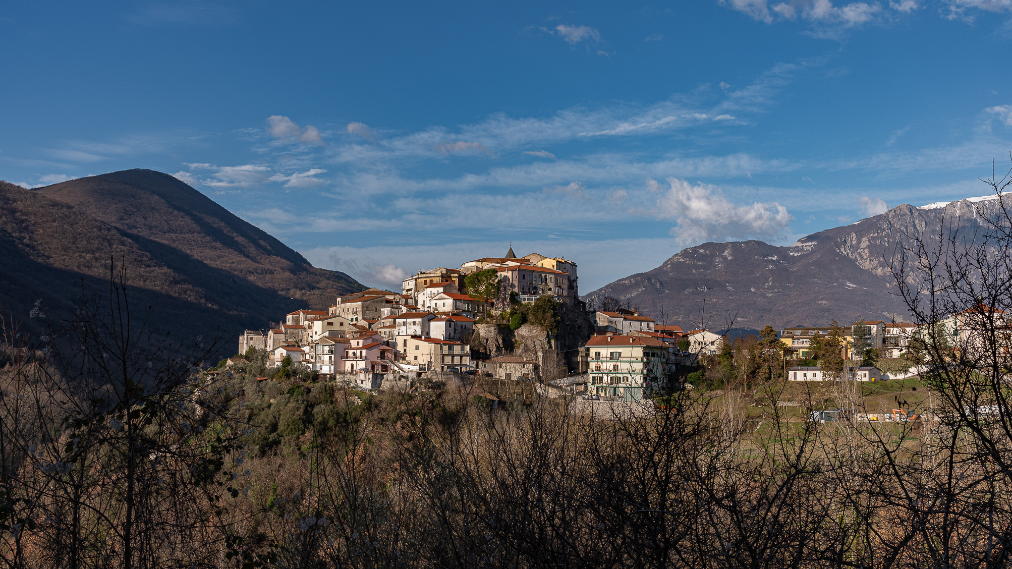
Colli a Volturno (Cuòglië in Molise) is an Italian town of 1 312 inhabitants in the province of Isernia in Molise. The municipal territory extends into the Volturno Valley on the border with the national park of Abruzzo, Lazio and Molise. Colli a Volturno (also called simply Colli), rises on three wooded hills, at an altitude of about 400 m a.s.l. (max. 1 013, min. 236 a.s.l.). The municipal area borders the municipalities of Fornelli, Rocchetta a Volturno, Montaquila, Scapoli, Cerro al Volturno, Macchia d'Isernia, Filignano and Monteroduni.
The Collese area, as the name suggests, is mainly hilly interspersed with wide flat spaces. The climate is mild, the average annual temperature is 18.2 ° C, the average rainfall is 862 mm. Summers are warm and temperate, winters are cold but not particularly harsh, sporadic snowfalls, exceptionally abundant those of February 1956, January 1985 and February 2012. In autumn, rainfall is abundant, in August, the hottest month. of the year, the average temperature is 22.4 ° C; in August 2017, an exceptional heat wave caused the mercury column to reach 43 ° C. January is the coldest month, with an average temperature of 5.4 ° C. The driest month is July with an average of 32mm of rain. The month of November is the one with the highest rainfall, having an average of 118 mm. Gusts of wind are not infrequent, even of particular intensity. Temperatures vary by around 17 ° C throughout the year.
2018
Civitacampomarano (CB), il Castello Angioino
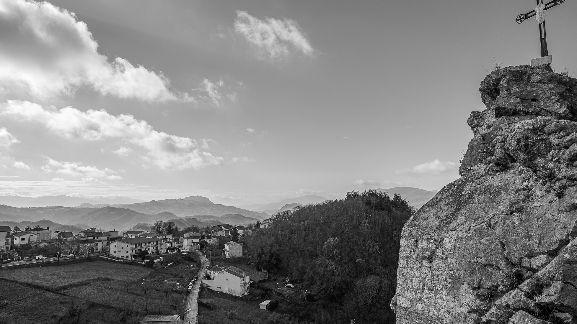
Il castello è il principale monumento della città. Si erge nella parte centrale del paese su un crinale di arenaria, fra i torrenti Mordale, che attraversa la Cavatella, e il Vallone Grande, uno degli affluenti del fiume Biferno. Si sostituì ad una più antica torre di avvistamento, databile probabilmente intorno alla seconda metà del XII secolo e di cui si può ancora vedere il perimetro, messo in evidenza durante gli imponenti lavori di restauro della fine del secolo scorso. L'impianto così come lo vediamo oggi, invece, secondo gli studiosi dovrebbe risalire al XIII secolo, presentando l'edificio degli elementi architettonici tipici dell'epoca, sotto la dominazione angioina. Originariamente di fronte ad esso era posta la chiesa madre, crollata nel 1903 a seguito di uno sfaldamento del costone sul quale si ergeva. Di essa ora resta visibile solo il basamento, mentre il campanile è intatto e funzionante ed è provvisto anche di un orologio i cui rintocchi risuonano ogni quarto d'ora.
2023
Roccasicura.
Roccasicura (La Ròcca in Molise) is an Italian town of 484 inhabitants in the province of Isernia in Molise
2018
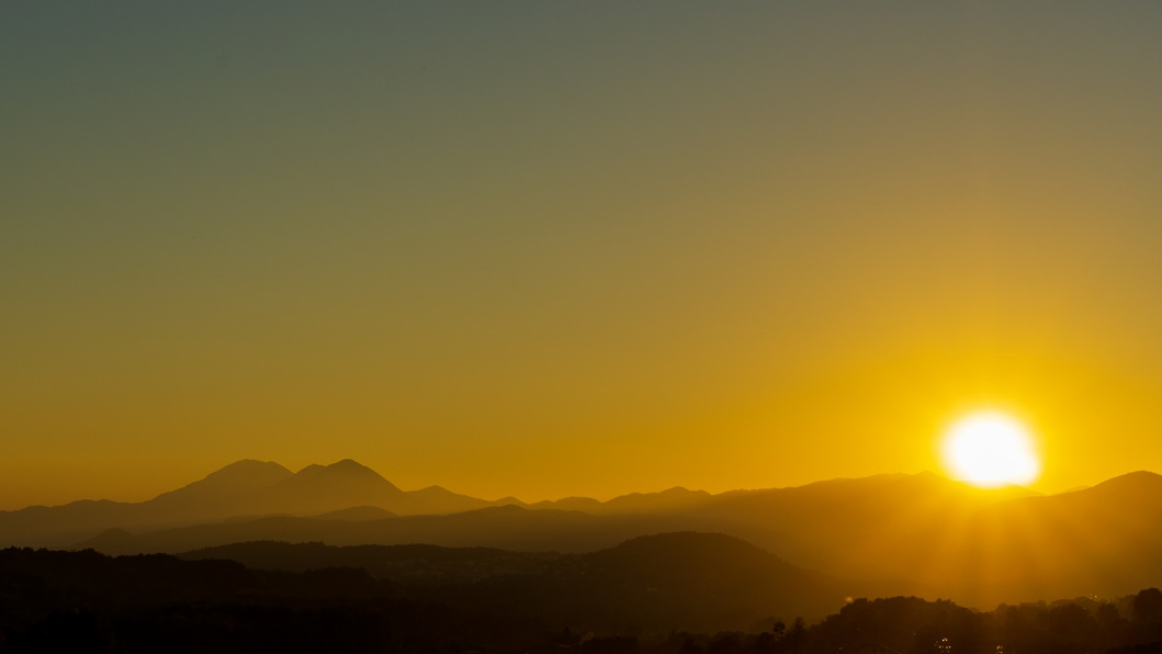
Tramonto sulle Mainarde 2
2022
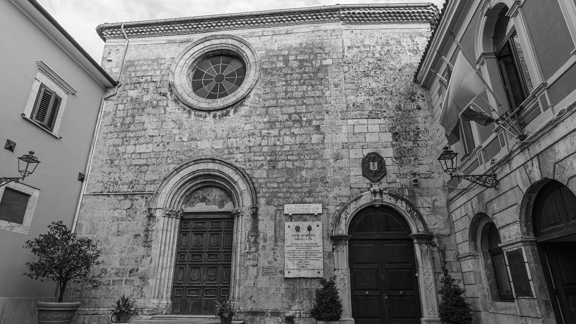
Isernia. The Church of S. Francesco
The Church of S. Francesco, with the adjoining Monastery of the Conventual Fathers, was built in 1256 and completed in 1267.On the left there is the chapel of S. Antonio, built in 1450.
2024
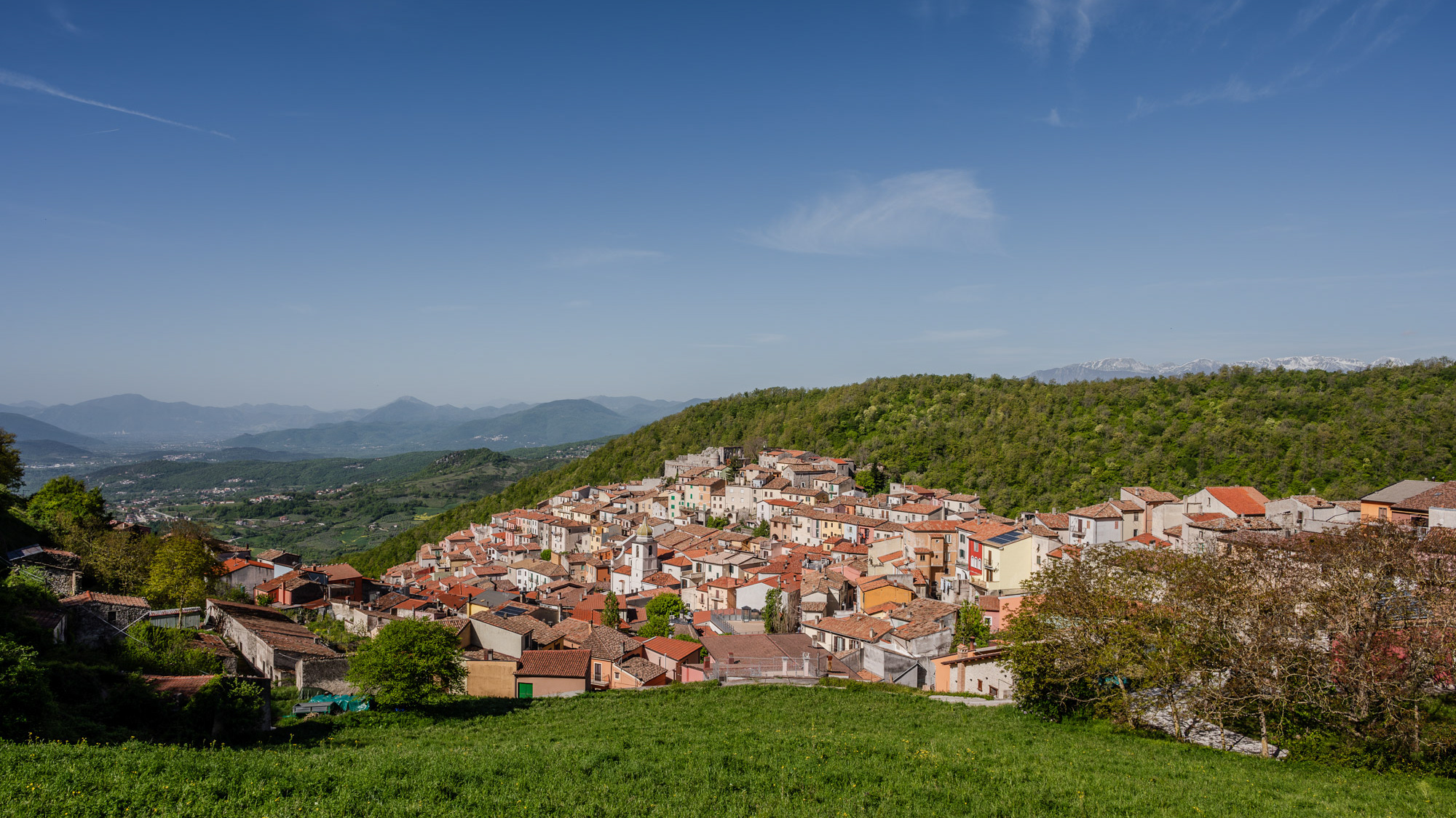
Miranda 2024
Miranda is an Italian municipality of 952 inhabitants in the province of Isernia in Molise. A first settlement of the current municipality probably dates back to the 11th century, as evidenced by the Norman facies of the castle that stands on the previous promontory, of which however few survive architectural elements. The original nucleus of the town is structured around it, interspersed with various walls that identify the subsequent residential layers built starting from the primary fortress. The scant documentation relating to the Miranda fiefdom testifies to a frequent transfer of ownership between various noble families, including the Di Somma Neapolitans, whose family coat of arms consisting of two towers standing on the seabed is still the official symbol of the municipality today.
2022
The waterfalls of Carpinone
In the heart of a very small village in Molise, immersed in an enchanted forest and floral nature, stands the Carpinone waterfall, one of the most fascinating spectacles of the local nature.
2023
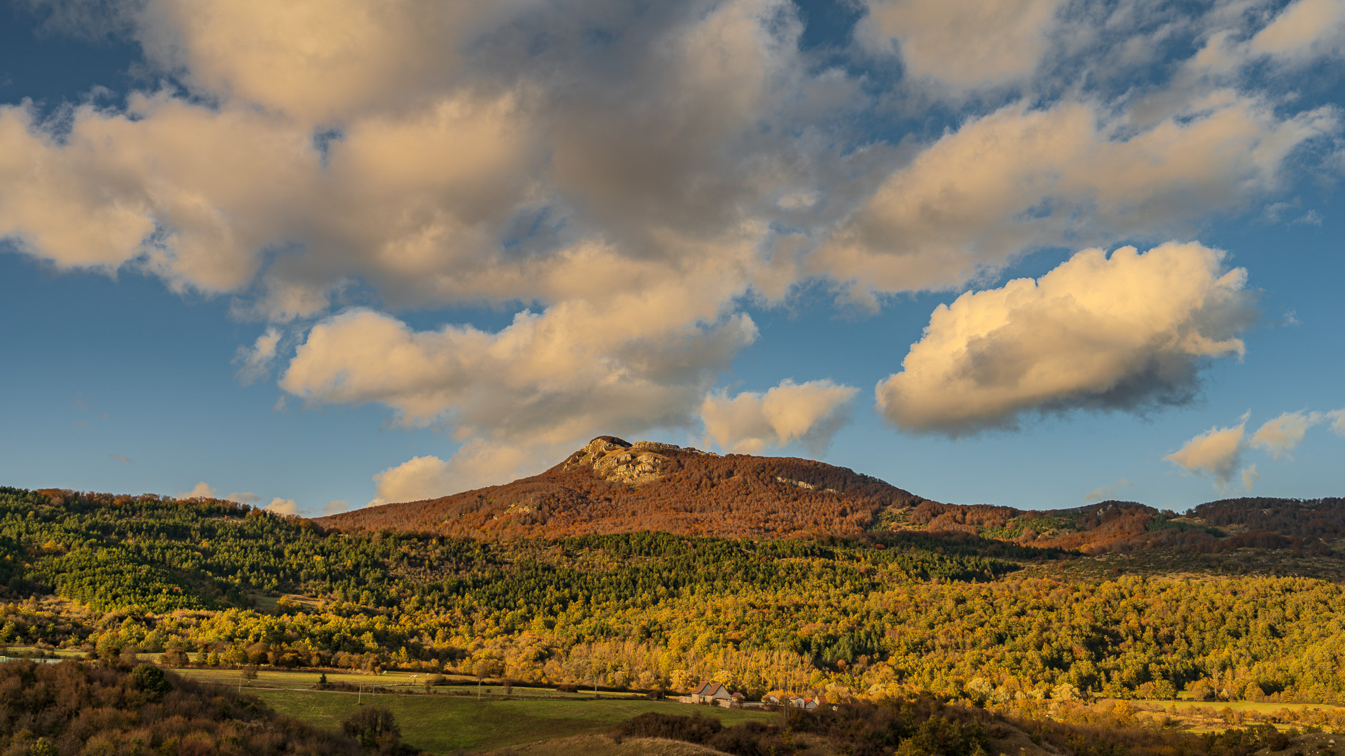
Spectacular autumn landscape
