Isernia - Fontana Fraterna
2017
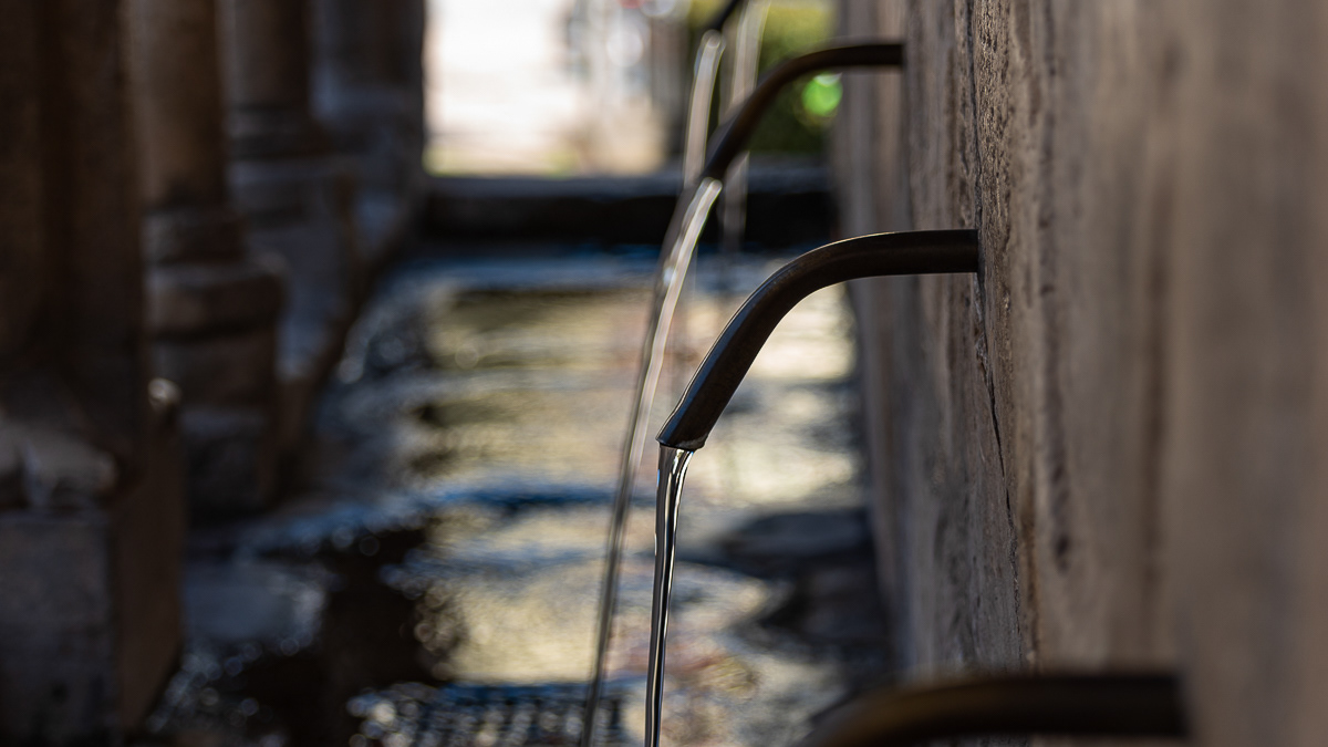
La "fontana Fraterna" (o fontana della Fraterna, fontana della Concezione, fontana delle Sette Cannelle o semplicemente Fraterna) è un'elegante fonte pubblica, nonché simbolo, della città di Isernia. Annoverata dall'Enciclopedia Treccani fra le più belle d'Italia, con sei getti d'acqua, dalle inusuali forme di un loggiato, realizzata con blocchi di pietra calcarea compatta, è una delle opere più significative e più importanti del comune pentro. Anticamente sorgeva in piazza Fraterna, di fronte alla chiesa della Concezione, ma dopo il bombardamento alleato del 1943 è situata in piazza Celestino V (ex largo Concezione), nel cuore del centro storico della città.
You may also like
2022
Molise, Italy. Spectacular autumn panorama.
Molise is an Italian region with a stretch of coast overlooking the Adriatic Sea. It includes a part of the Abruzzo National Park in the Appennine mountain range, with a rich wildlife and trails.
2018
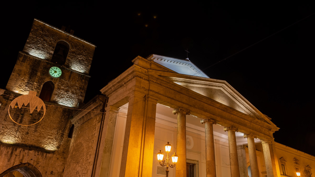
Isernia, la Cattedrale, notturne

2025
Frosolone. Church of San Michele Arcangelo
2018
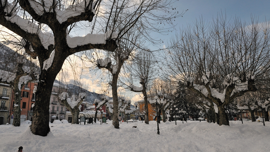
Boiano (CB)
Bojano è un comune italiano di 8 097 abitanti della provincia di Campobasso. Importante città dei Sanniti, fu conquistata dai Romani nel III secolo a.C. a seguito della battaglia di Boviano. Nel VI secolo vi fu fondata la diocesi, collegata a Campobasso; facente parte del Ducato di Benevento, nel XIII secolo divenne la capitale del ducato omonimo, per poi entrare a far parte del Contado di Molise. Divenuta possesso dei vari signori campani Pandone, Carafa, De Capua, Bojano attraversò duri periodi a seguito del terremoto del 1805 prima, e della seconda guerra mondiale poi.
2023
Pescolanciano. D’Alessandro Castle
The D'Alessandro castle is a fortified structure in the municipality of Pescolanciano. The castle was built on the rocky spur (peschio) that overlooks the town near a Samnite fortification.
2021
Isernia, Fontana Fraterna
2022
Isernia. Monument to the fallen of the F. W. War
2025
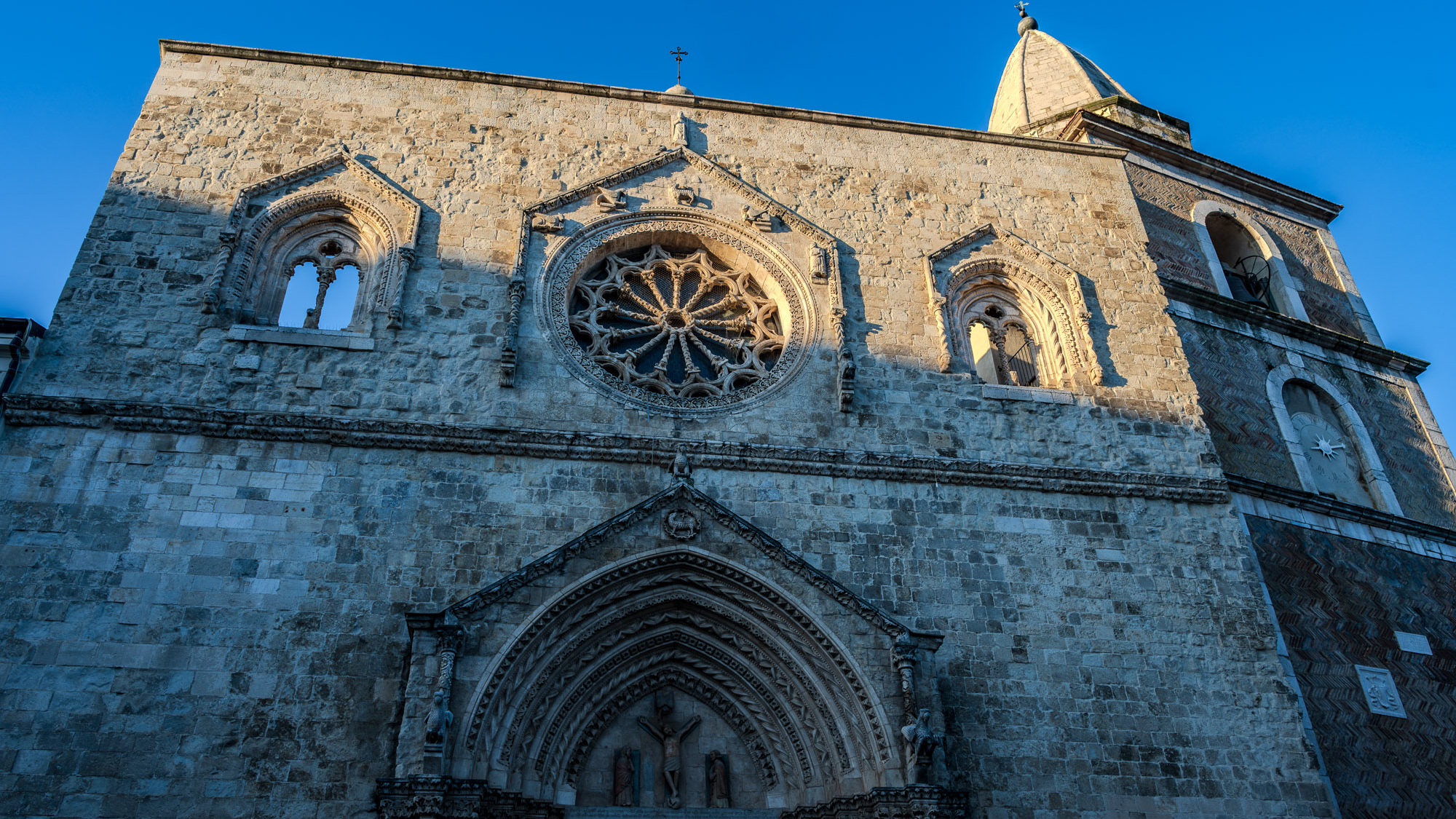
Larino. Co-Cathedral of Santa Maria Assunta
The Larino Cathedral, or the co-cathedral basilica of Santa Maria Assunta and San Pardo, is located in the city of the same name in the province of Campobasso.
2017
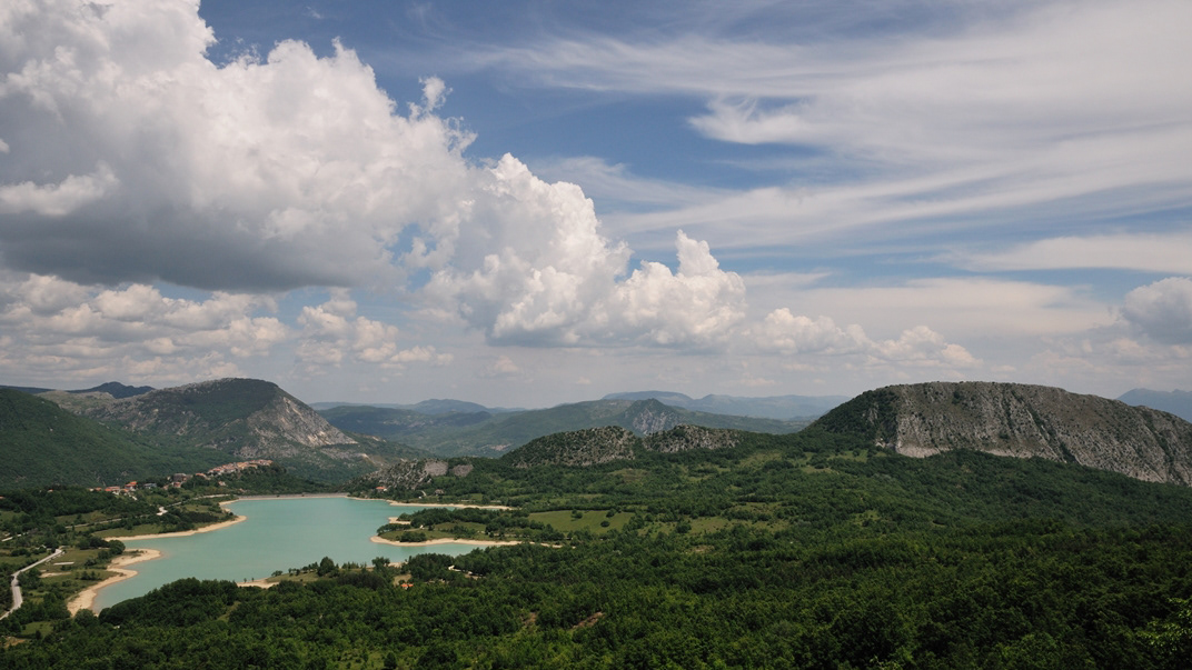
Molise - Castel S. Vincenzo (IS) - Il Lago
Il lago di Castel San Vincenzo è un invaso artificiale realizzato sul finire degli anni Cinquanta per scopi idroelettrici. Il lago occupa una superficie di 6,140 km² ed ha una capacità utile di 10 milioni di metri cubi. Le acque che alimentano il lago provengono principalmente dai torrenti della Montagna Spaccata nei vicini comuni di Alfedena e Barrea. Le acque di questi torrenti alimentano le centrali Enel di Pizzone, di Rocchetta a Volturno e di Colli a Volturno. Seppure artificiale, il lago è ben armonizzato con il paesaggio circostante di montagne e boschi. La fauna acquatica è costituita in prevalenza da salmonidi. In prossimità del lago, dove è possibile dedicarsi alla pesca e ad altri sport d'acqua, sono presenti un'area attrezzata per il camping e un maneggio.
2024
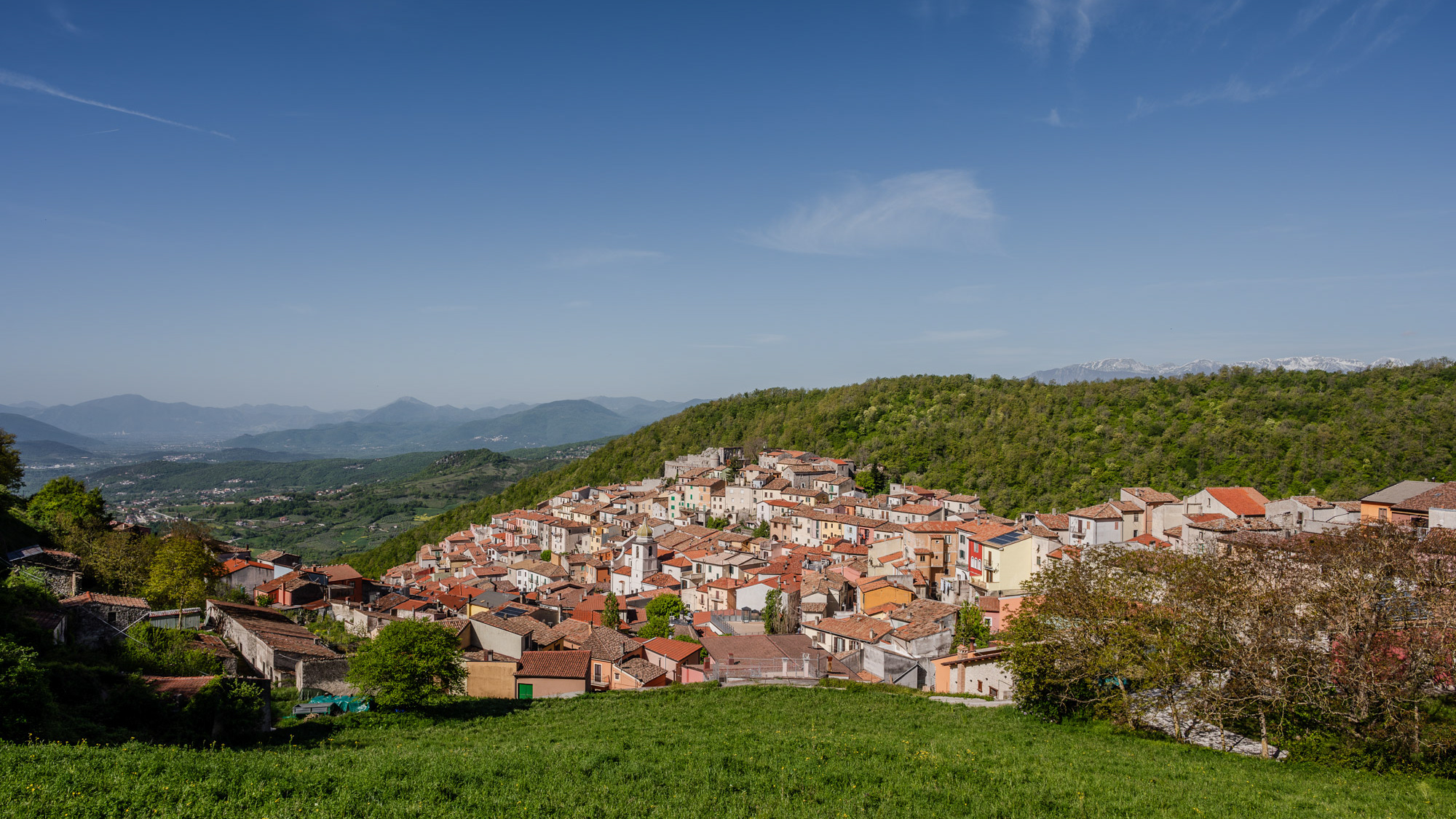
Miranda 2024
Miranda is an Italian municipality of 952 inhabitants in the province of Isernia in Molise. A first settlement of the current municipality probably dates back to the 11th century, as evidenced by the Norman facies of the castle that stands on the previous promontory, of which however few survive architectural elements. The original nucleus of the town is structured around it, interspersed with various walls that identify the subsequent residential layers built starting from the primary fortress. The scant documentation relating to the Miranda fiefdom testifies to a frequent transfer of ownership between various noble families, including the Di Somma Neapolitans, whose family coat of arms consisting of two towers standing on the seabed is still the official symbol of the municipality today.
