2025
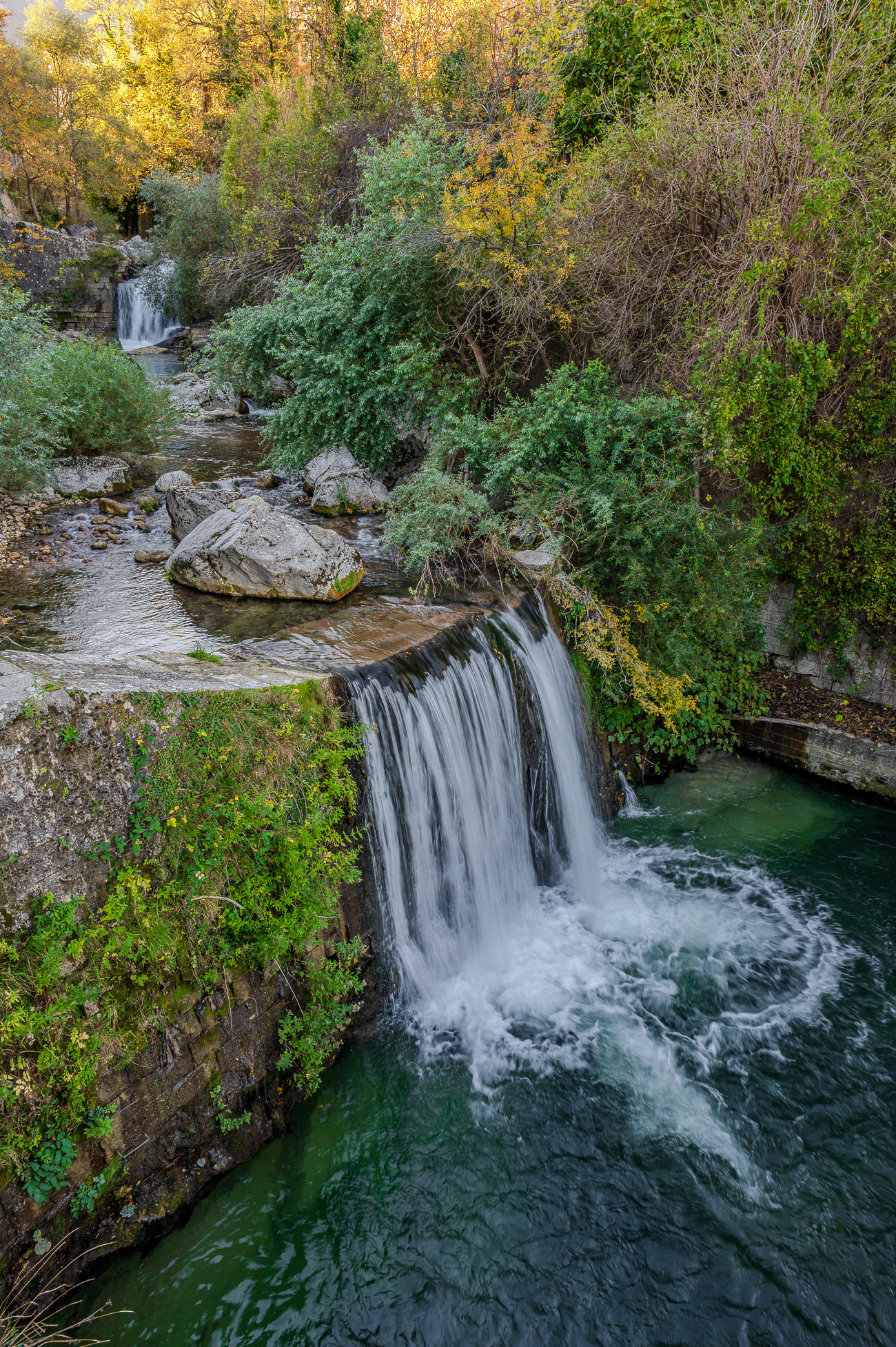
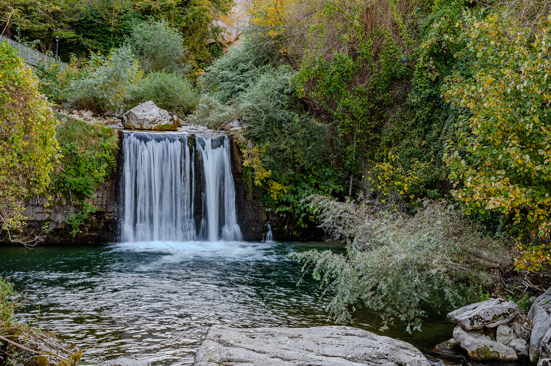
The Orfento Gorge, Caramanico Terme
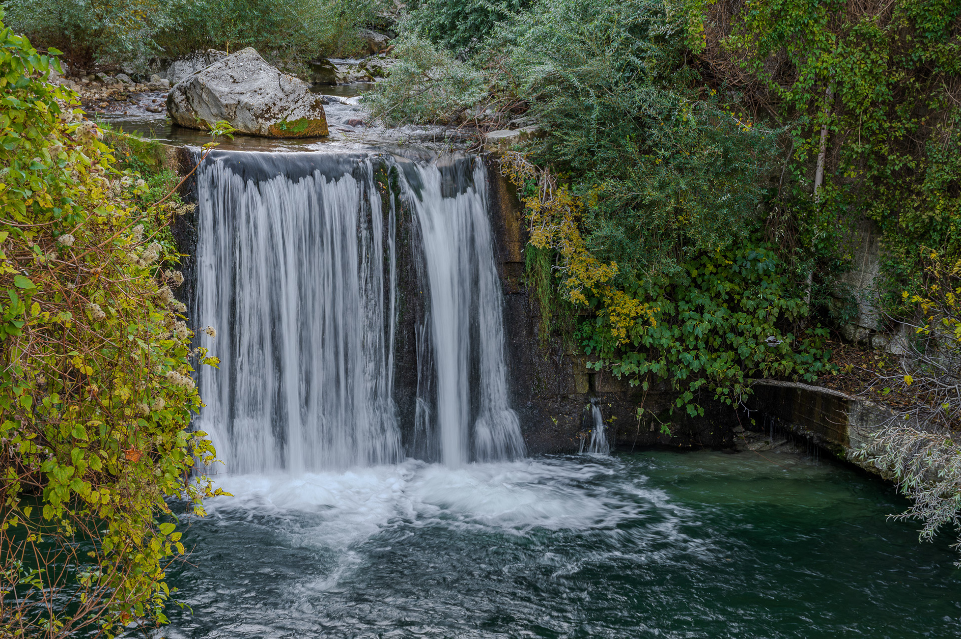
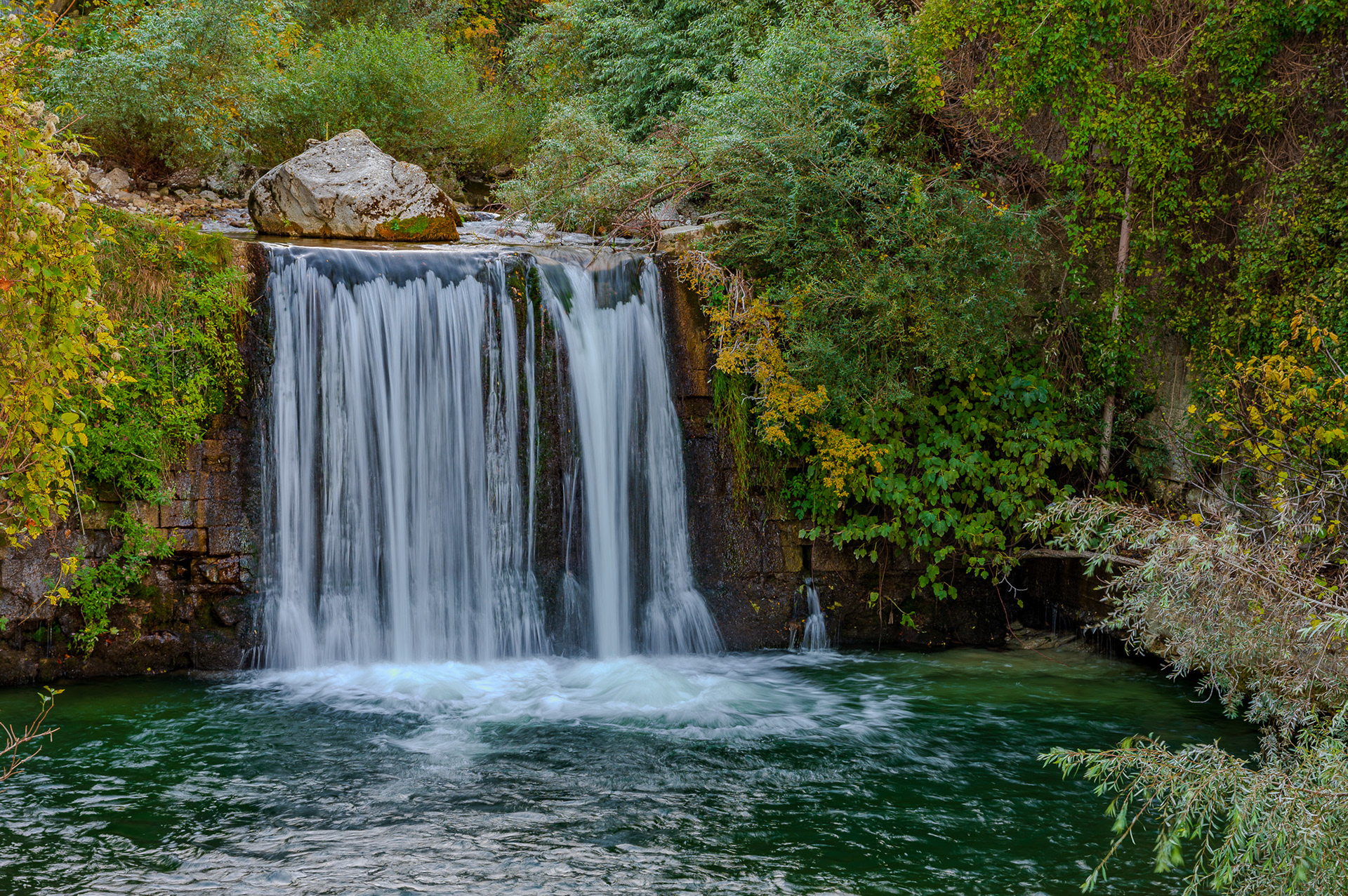
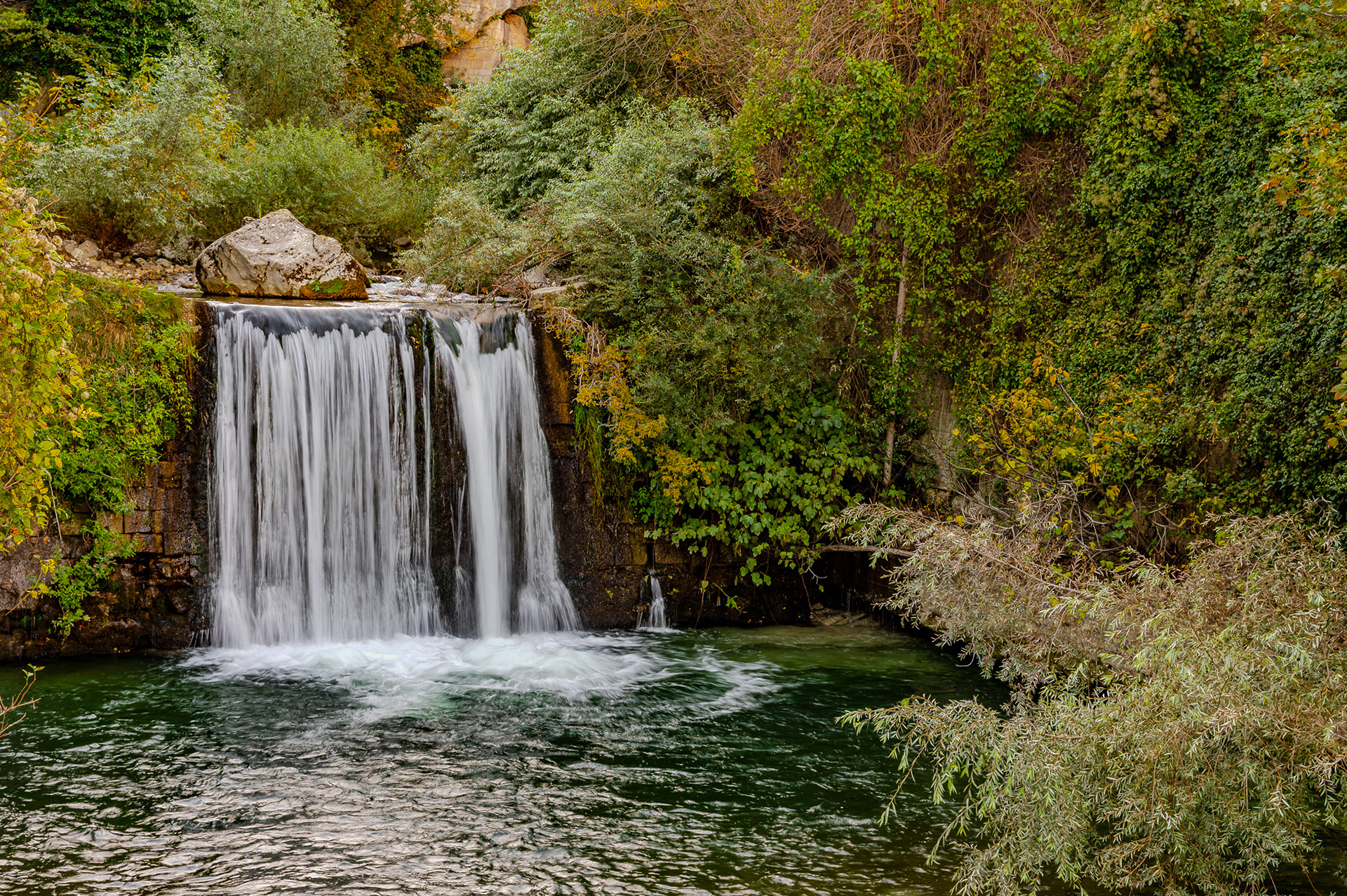
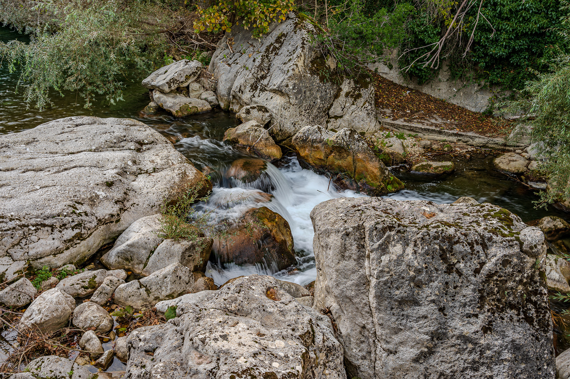
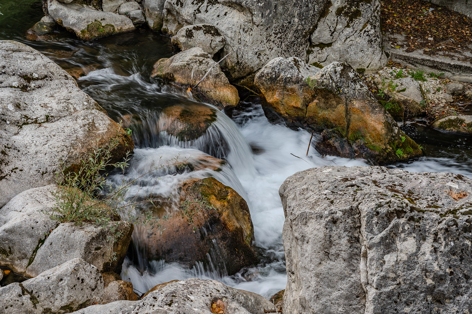
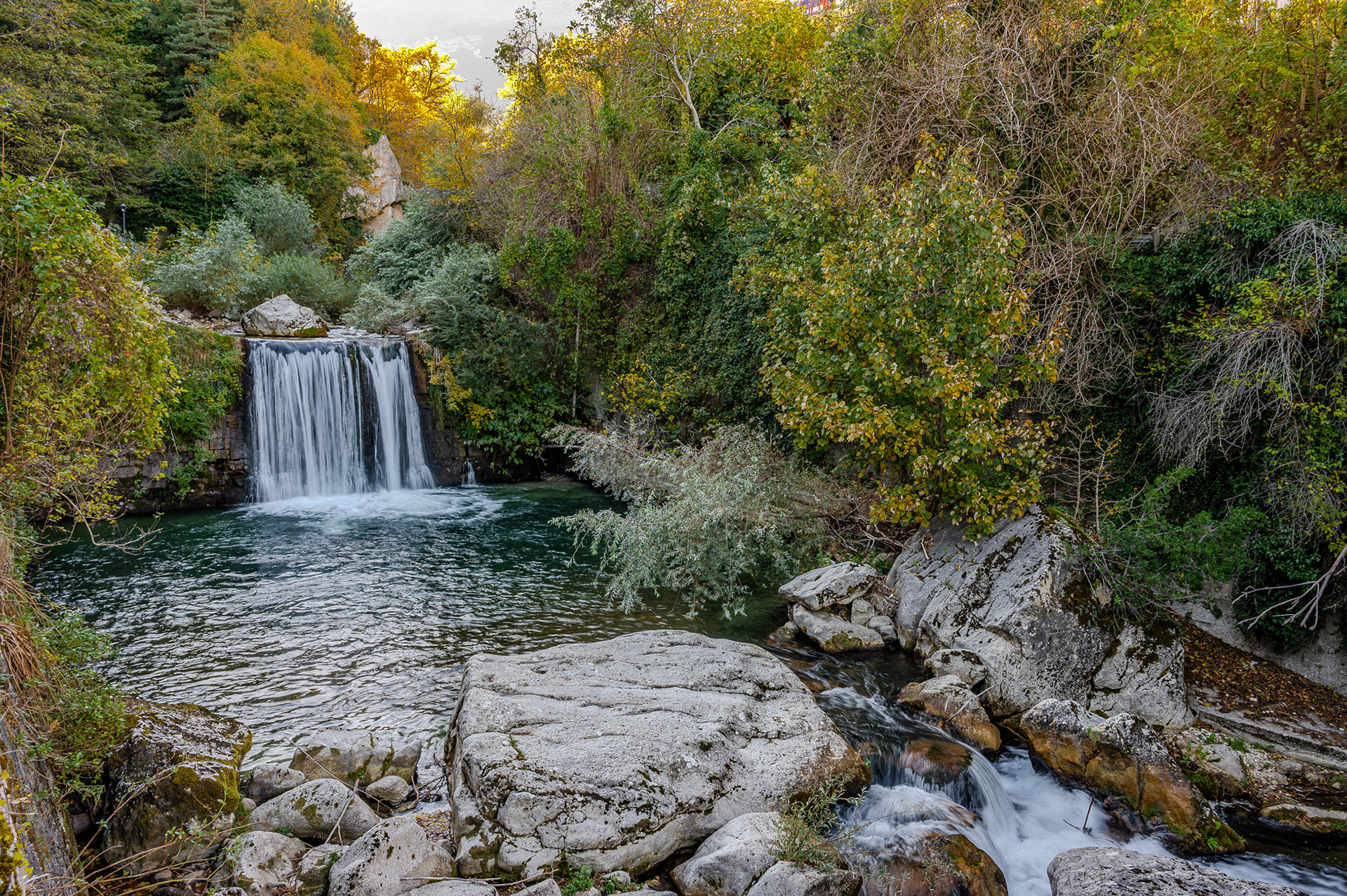
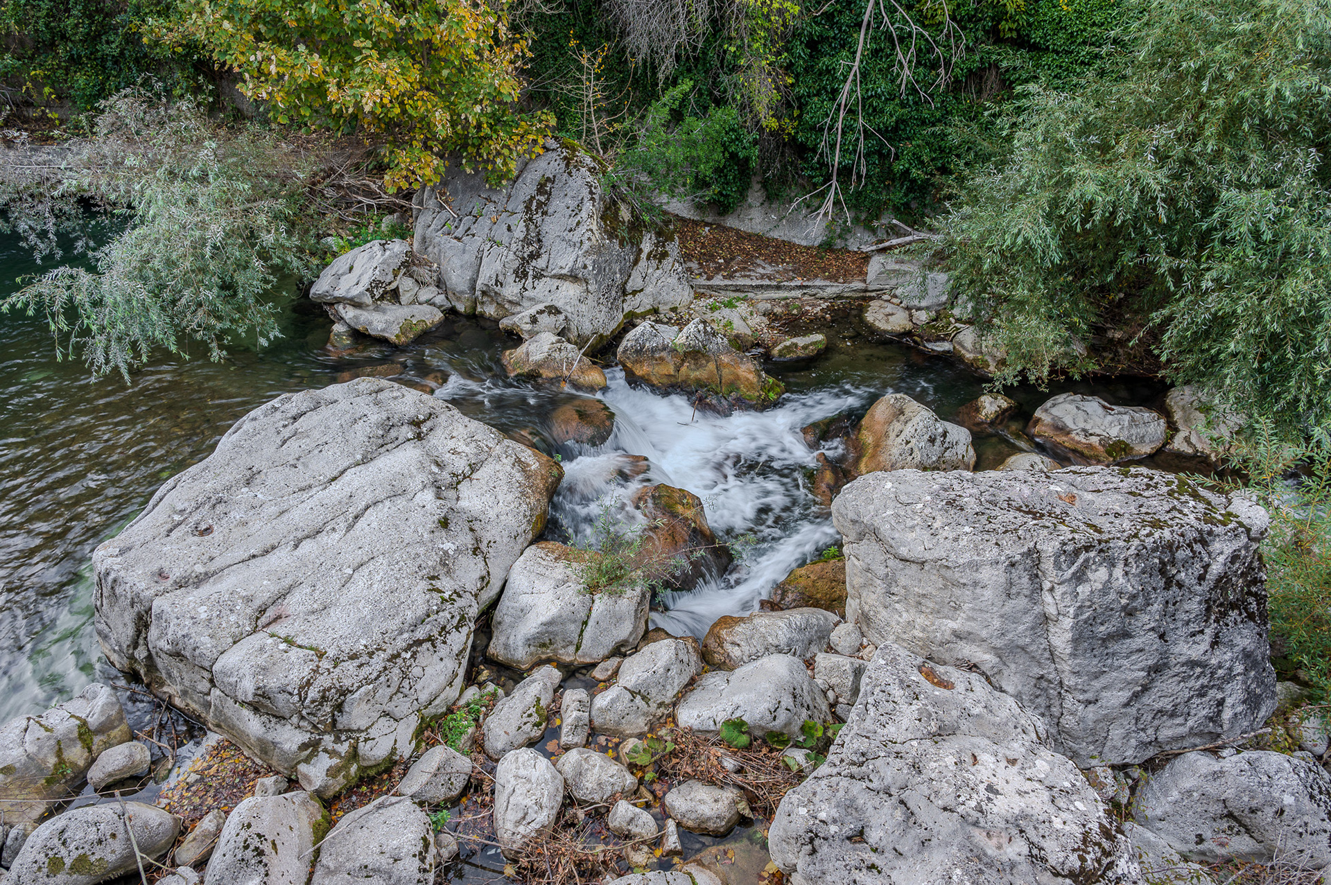
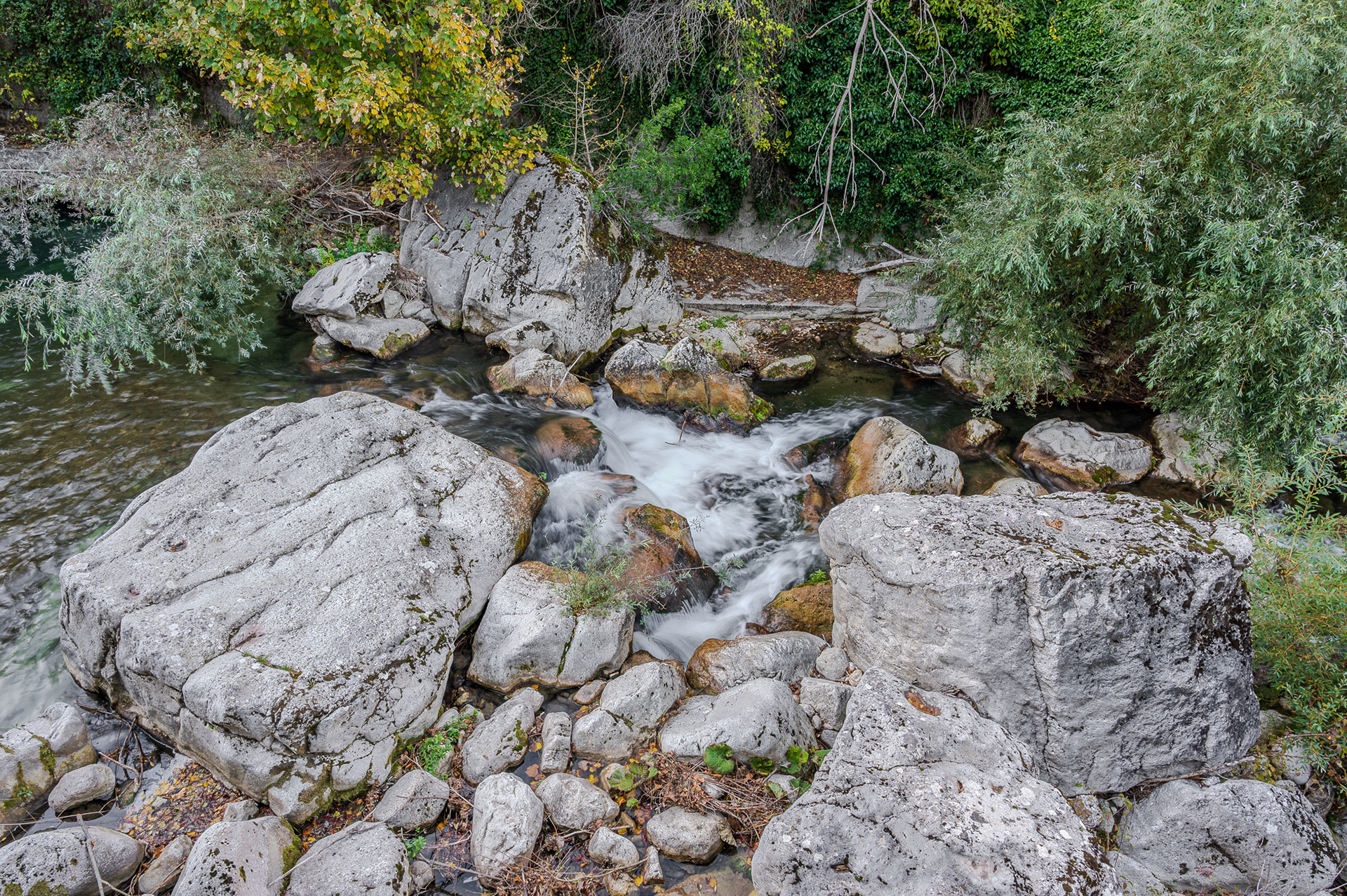
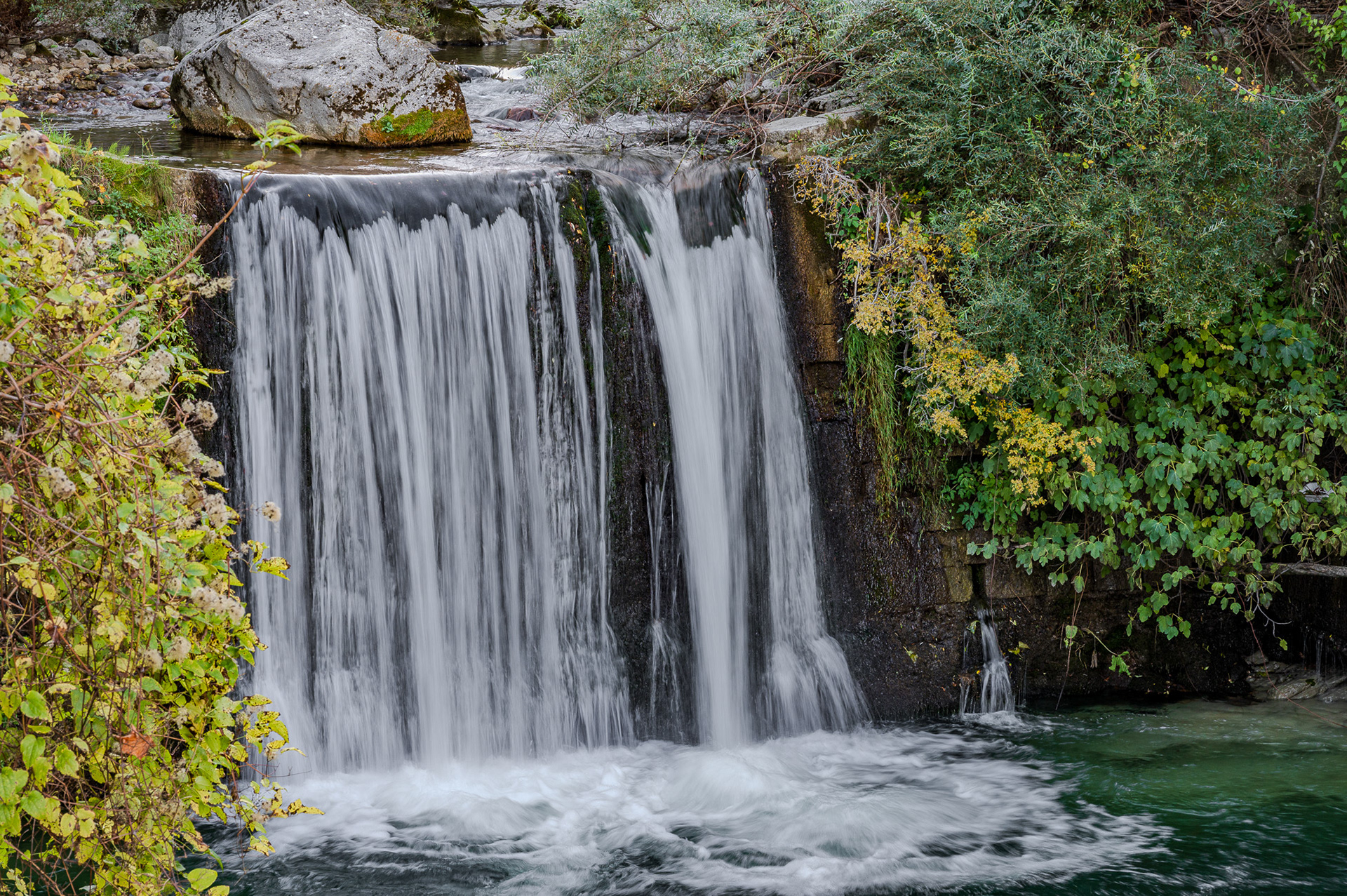
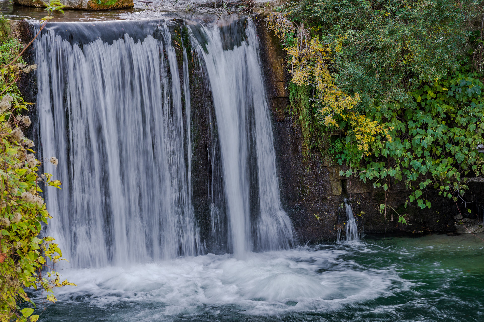
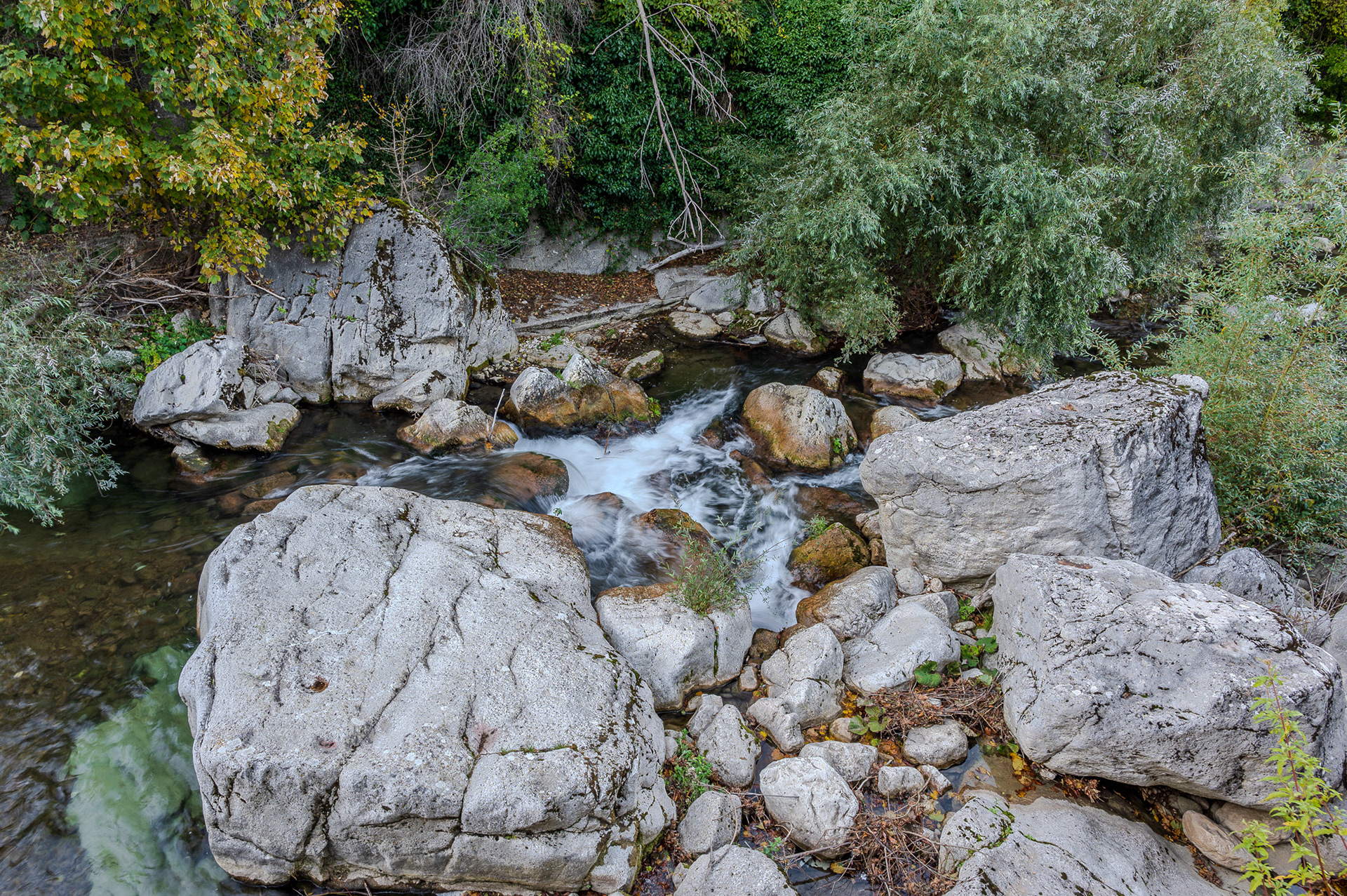
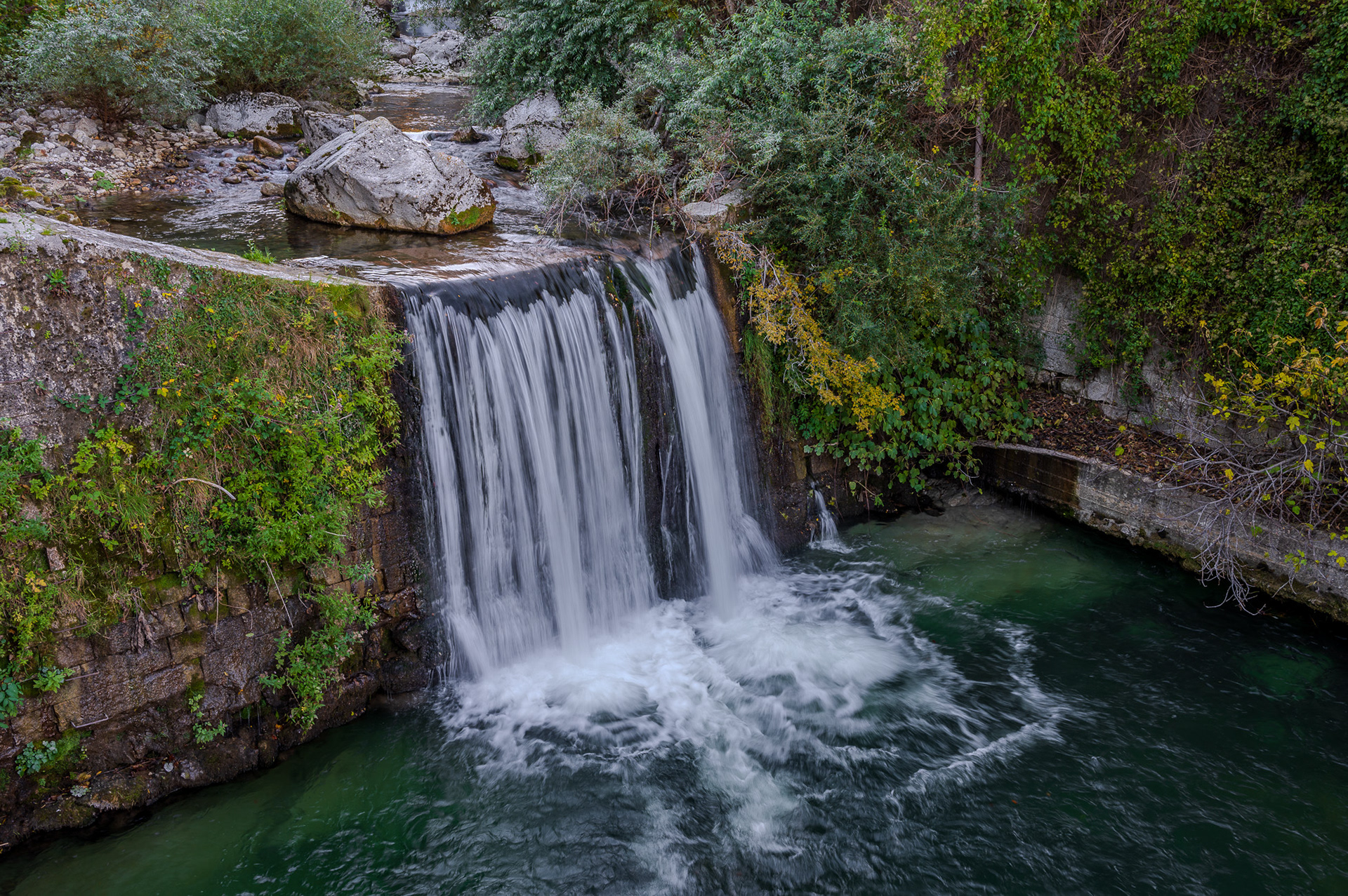
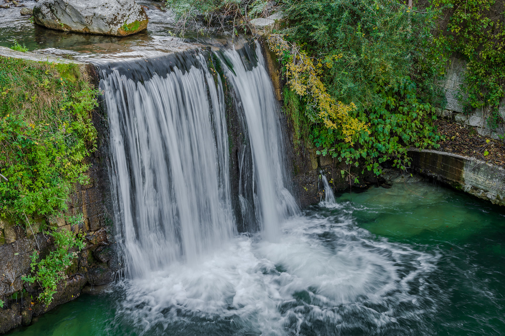
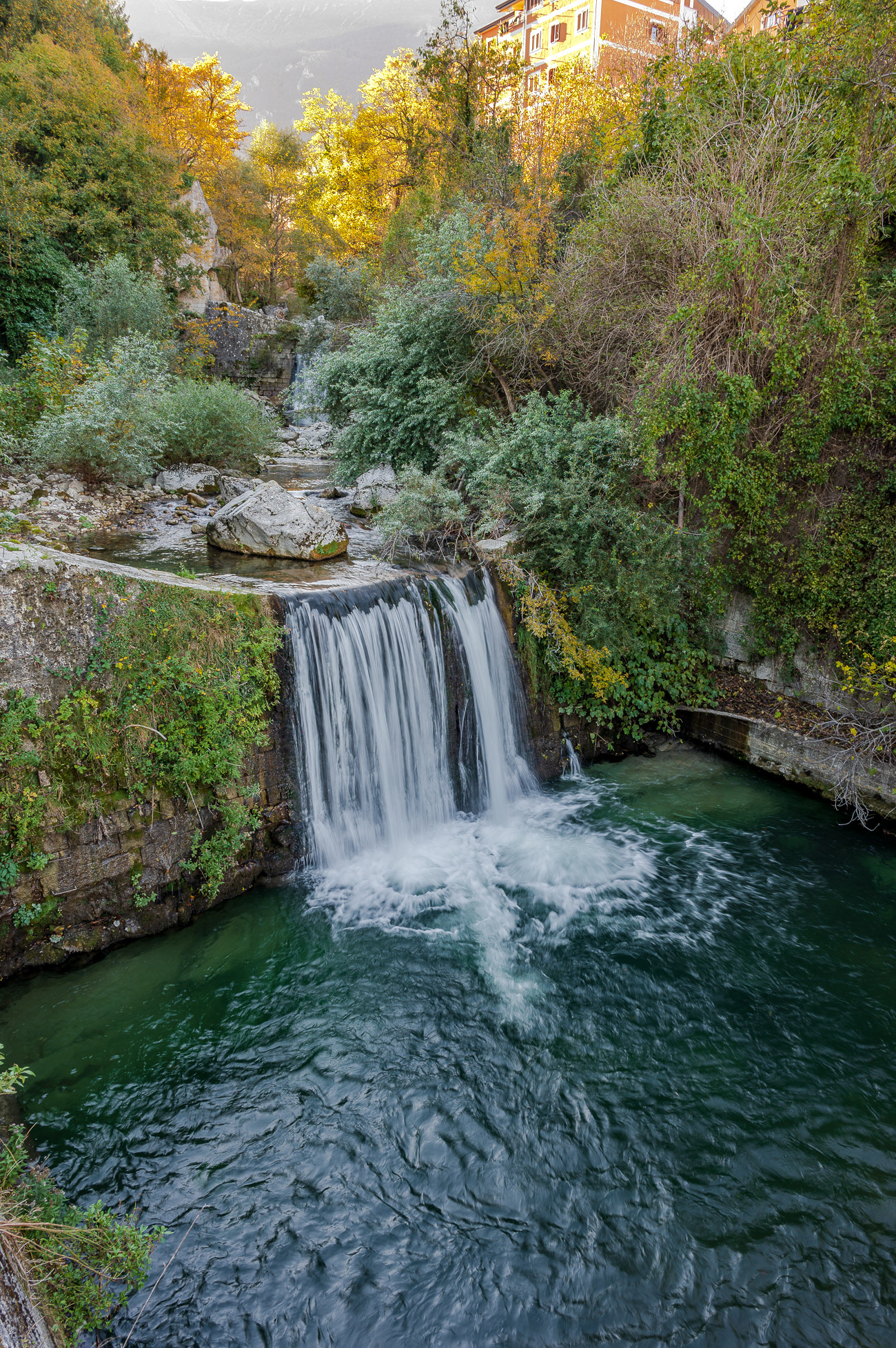
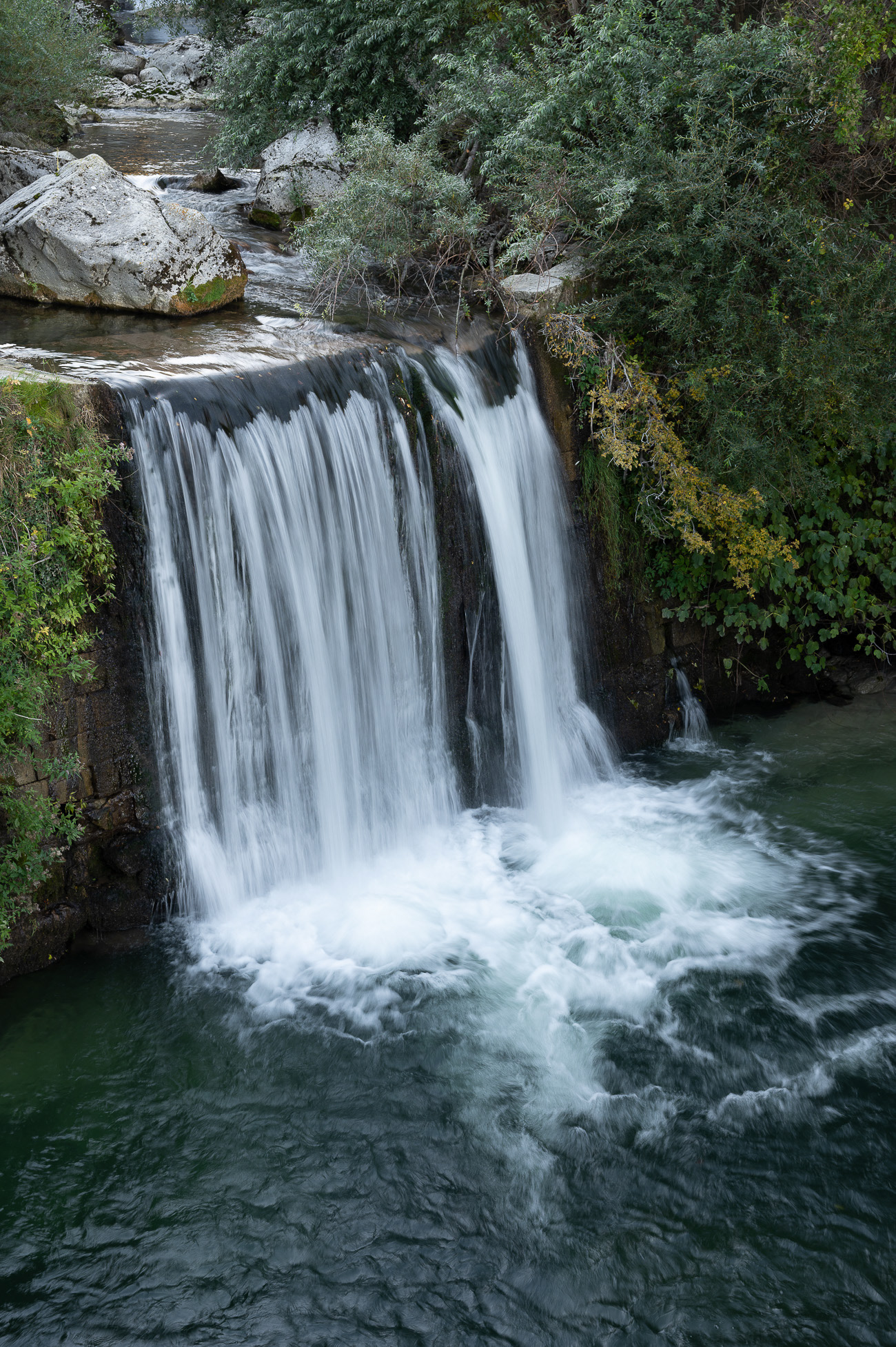
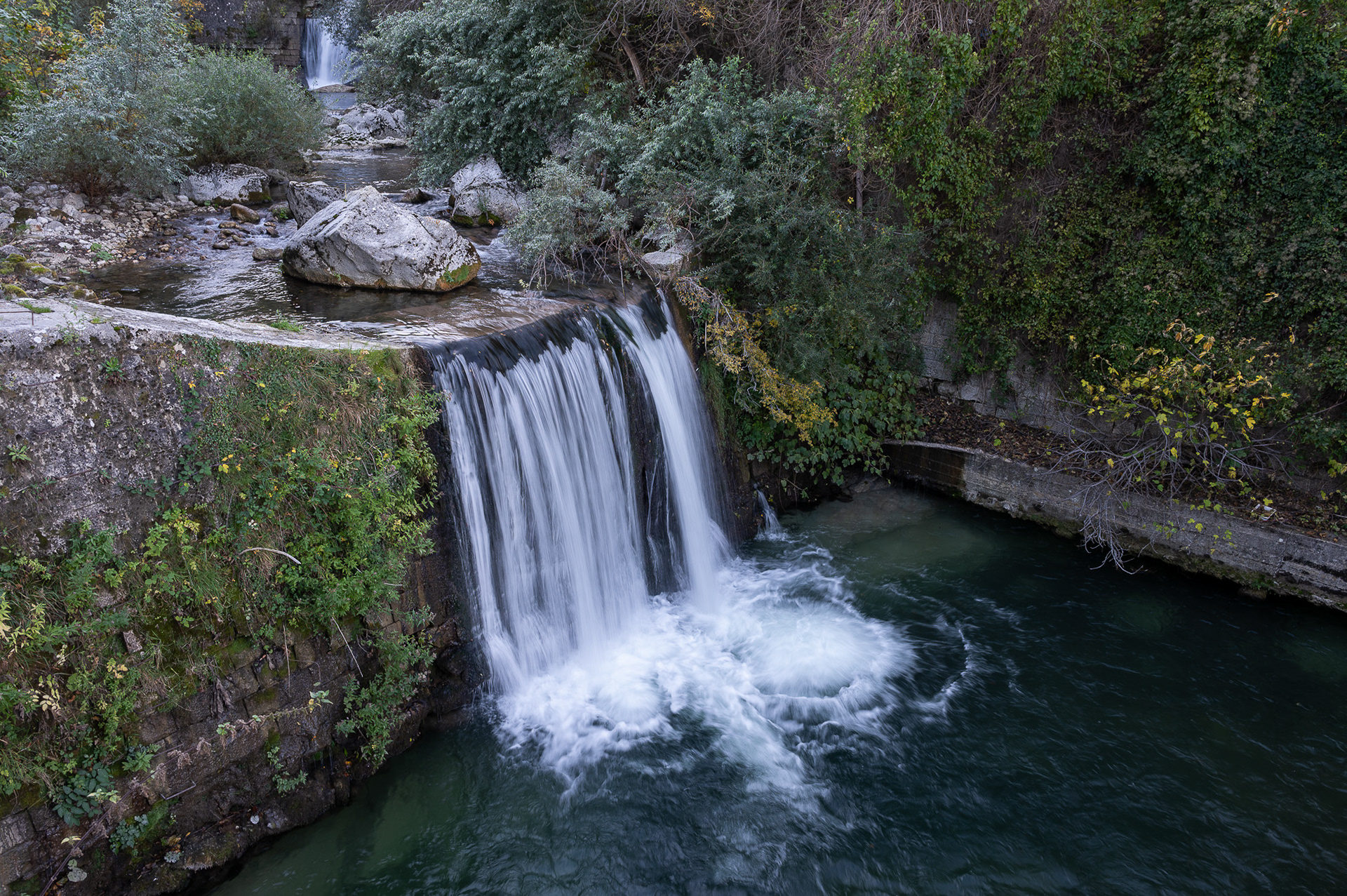
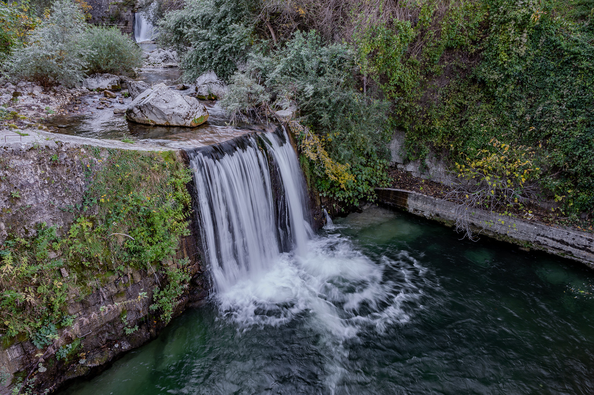
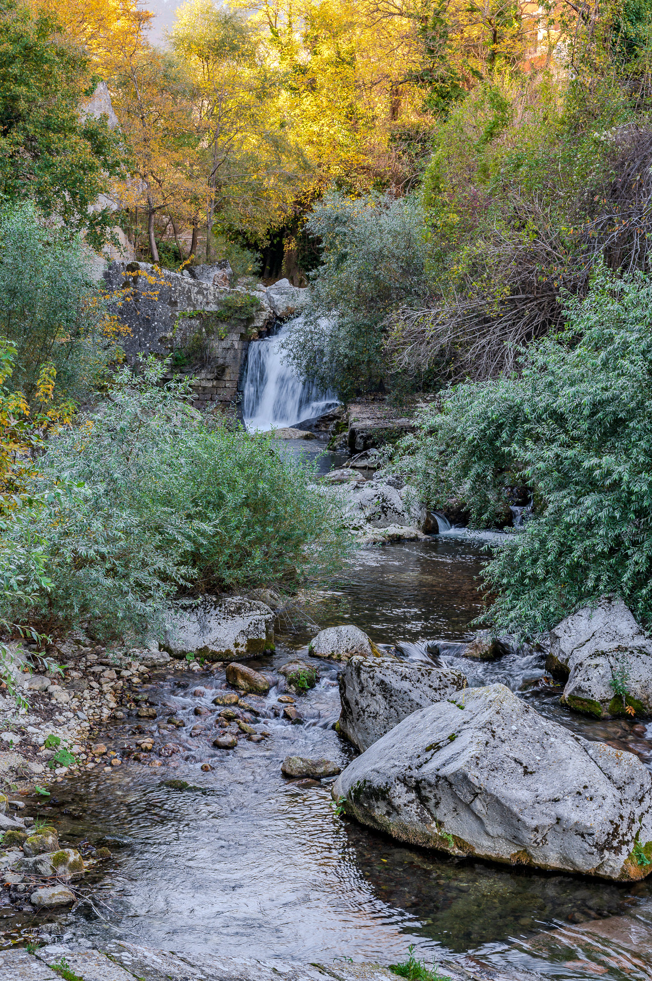
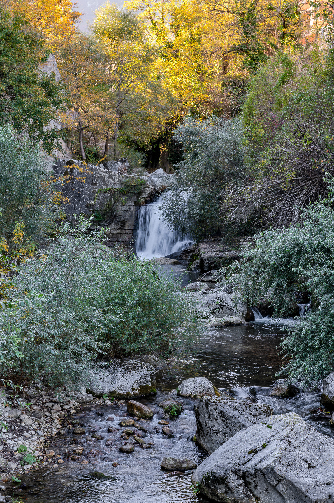
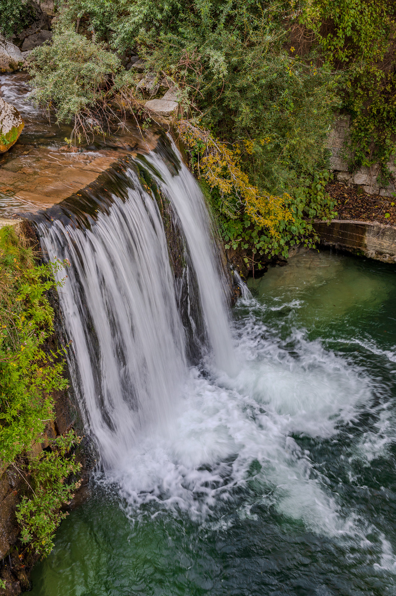
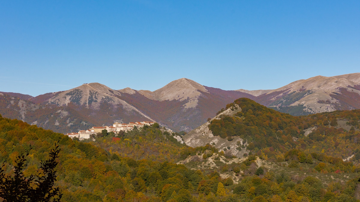
The Orfento Valley is undoubtedly one of the most evocative places in the Maiella National Park: the clear water, the small waterfalls, the sound of the river and nature make the walk a unique experience.
The trail begins with a wide view of the gorge from above and then descends into the lush river vegetation with intense and wonderful colors. The route is made even more evocative by a continuous succession of small clearings, waterfalls, and wooden bridges that repeatedly cross the river.
The Orfento Gorge was the reserve where, in the 1980s, deer and roe deer were reintroduced for the first time, now present throughout the Maiella National Park.
The world's leading scientific journal, Nature, has used this valley as a global example of its rich biodiversity.
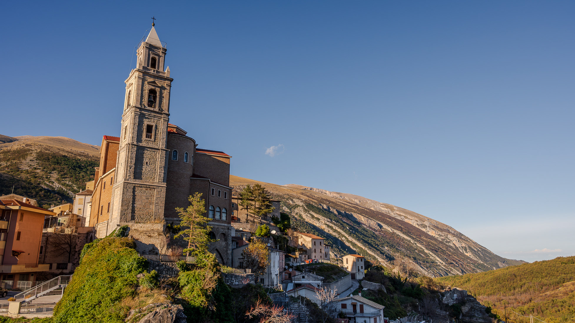
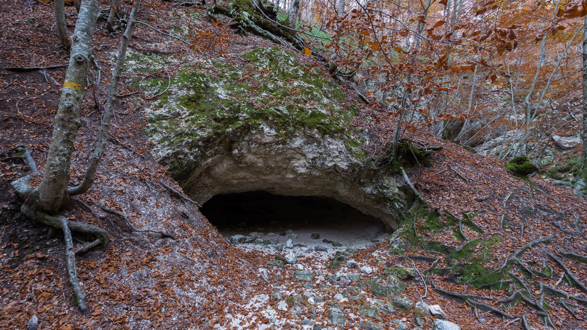
Nearby are ancient hermitages, silent guardians of faith and time, such as the hermitage of San Giovanni all'Orfento. These sacred places, nestled in the rock and surrounded by greenery, were a refuge for saints and hermits, including Pope Celestine V, who found spirituality and solitude in these valleys. Their echoes still resonate through the woods and gorges, giving those who walk there a sense of profound peace and connection with something eternal. An ancestral call that transforms the valley into a true natural sanctuary for the soul.
Woods and mountains are natural medicine. Walking in nature helps us combat many ailments linked to a hectic and stressful lifestyle. Our simple walks are a way to get closer to nature, while also providing educational insights into the wonders of Abruzzo.