Isernia, Fontana Fraterna
2021
You may also like
2023
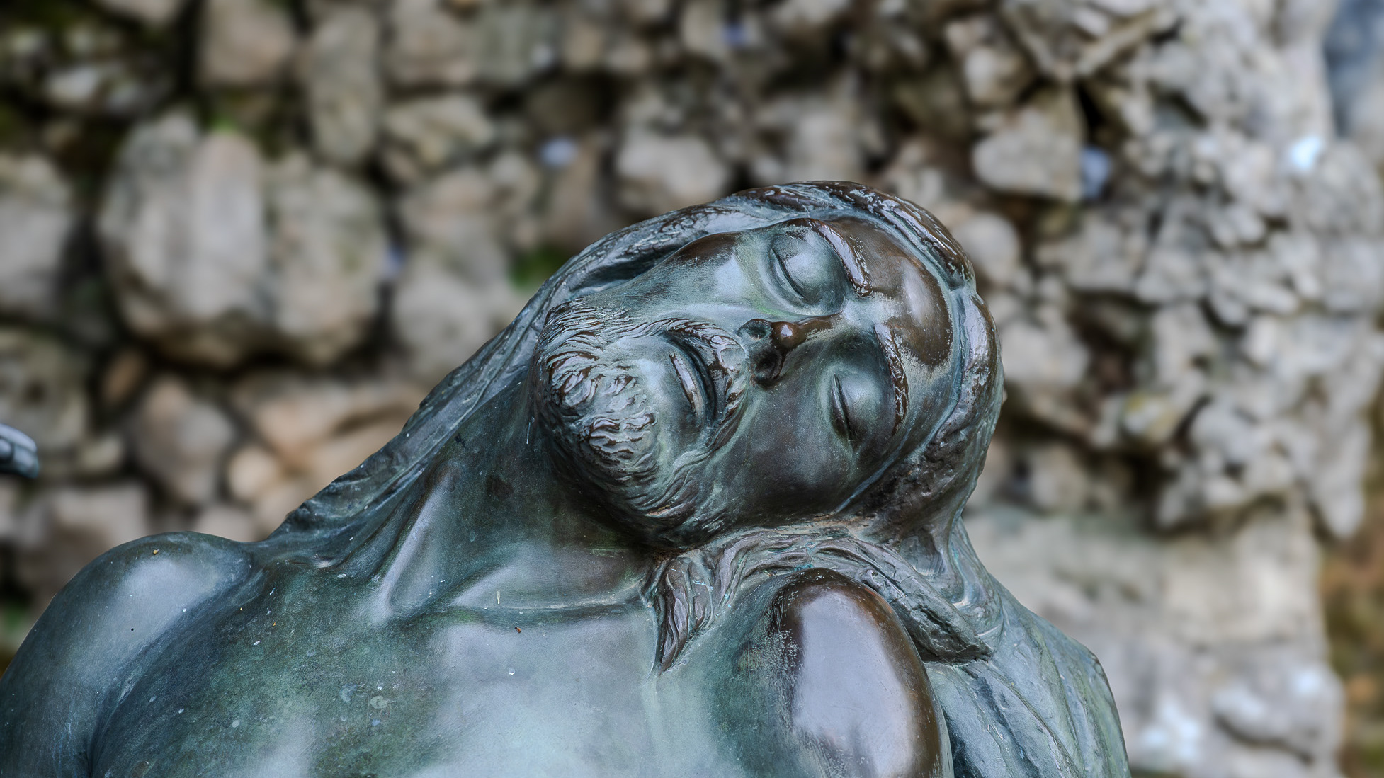
Castelpetroso. The places of the Apparition
2018
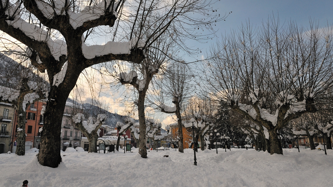
Boiano (CB)
Bojano è un comune italiano di 8 097 abitanti della provincia di Campobasso. Importante città dei Sanniti, fu conquistata dai Romani nel III secolo a.C. a seguito della battaglia di Boviano. Nel VI secolo vi fu fondata la diocesi, collegata a Campobasso; facente parte del Ducato di Benevento, nel XIII secolo divenne la capitale del ducato omonimo, per poi entrare a far parte del Contado di Molise. Divenuta possesso dei vari signori campani Pandone, Carafa, De Capua, Bojano attraversò duri periodi a seguito del terremoto del 1805 prima, e della seconda guerra mondiale poi.
2021
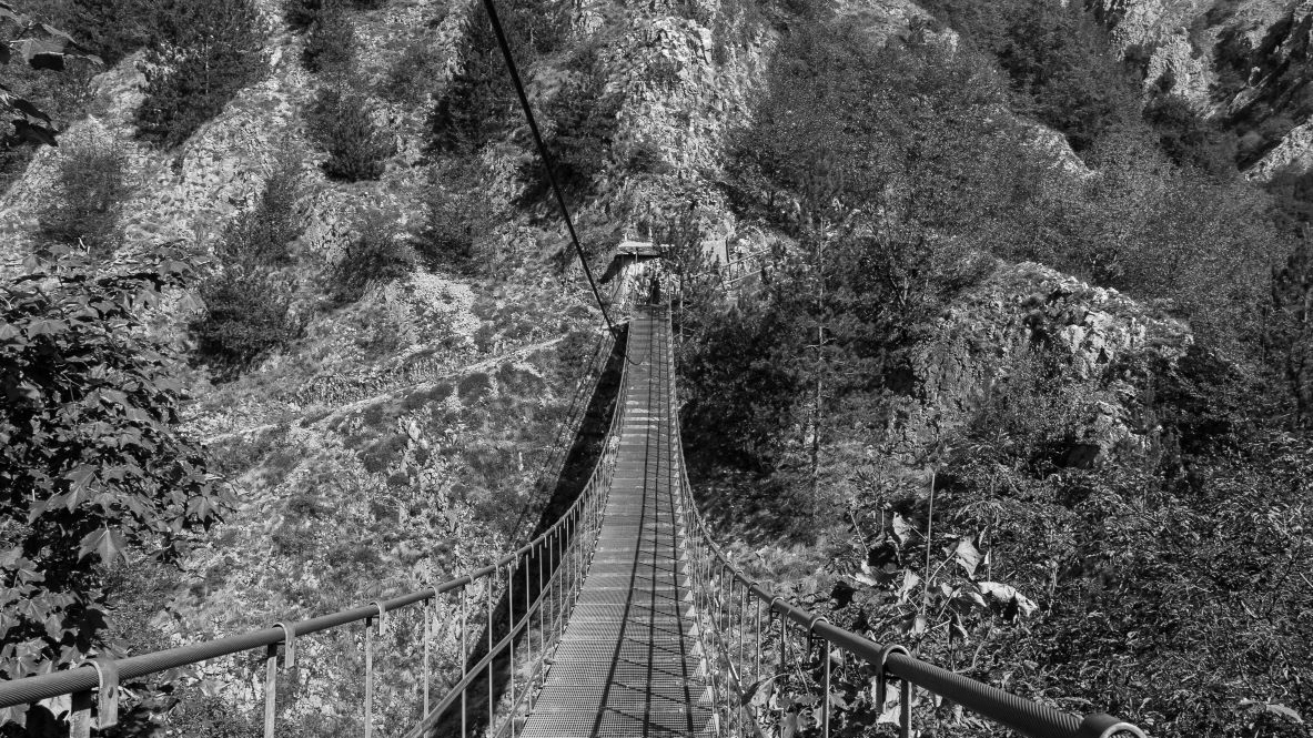
Roccamandolfi. The Tibetan bridge
A metal bridge suspended in the air, 234 meters long and reaching 140 meters above ground level, has been installed near the Roccamandolfi Castle for some years now.
2015
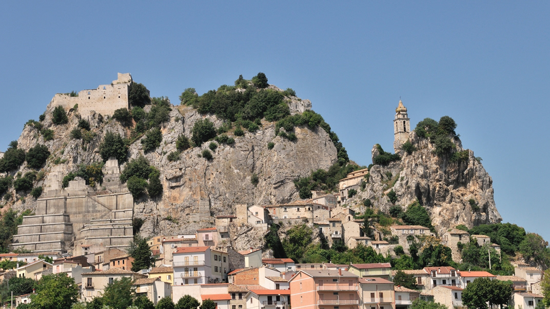
Bagnoli del Trigno (IS)
Bagnoli del Trigno (Vagnuolë in molisano) è un comune italiano di 708 abitanti della provincia di Isernia in Molise. Le origini del paese sono ignote[3] e si fanno risalire a diverse leggende, secondo le quali Bagnoli sarebbe stata fondata in una da un Duca che si abbevera nelle acque del Trigno, in un'altra con la costruzione di agglomerati urbani intorno a una sorgente termale (Balneoli, da cui il nome) e infine da alcune tribù per trovare riparo dalle invasioni barbariche. Le prime notizie storiche risalgono al medioevo, quando il feudo era parte del Contado del Molise. Successivamente, dopo una serie di passaggi di proprietà anche tra signori francesi e spagnoli, diventa parte del Regno di Napoli e successivamente del Regno d'Italia. Con il novecento il paese ha visto un forte spopolamento a causa dell'emigrazione, soprattutto a Roma dove molti bagnolesi svolgono il lavoro di tassisti. Da uno studio effettuato dall'associazione "Forche Caudine" nel 2013 risulta che vivono più bagnolesi a Roma (circa un migliaio) rispetto ai residenti in paese.
2010
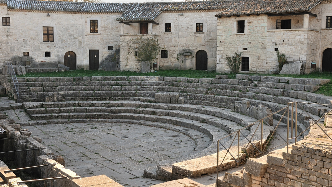
Sepino (CB) - Saepinum
2018
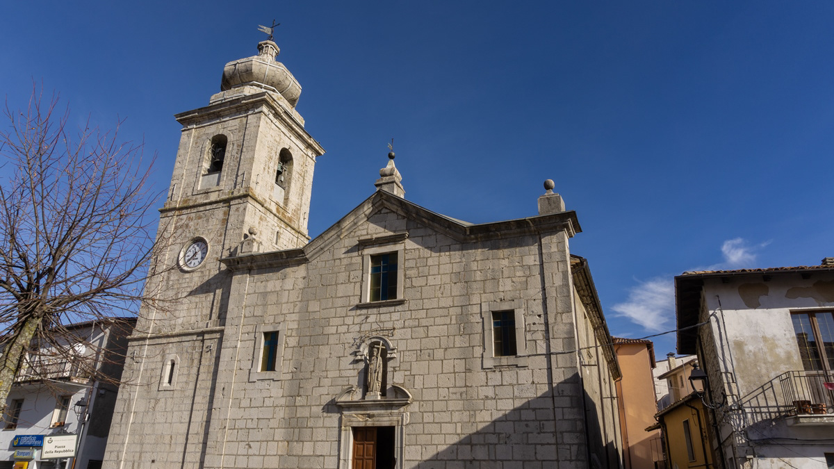
Rionero Sannitico (IS), la Chiesa Madre
La Chiesa Madre, dedicata a San Bartolomeo Apostolo e costruita nel 1717, rappresenta il maggior esempio artistico tra gli edifici sopravvissuti alla guerra e ai terremoti. Al suo interno vi sono ancora presenti degli affreschi, di indubbio valore storico-artistico, risalenti al XVIII secolo. Di altri affreschi, gravemente danneggiati dal terremoto del 1984, è rimasta sfortunatamente solo qualche fotografia a testimonianza di come la Chiesa abbia vissuto tempi più floridi.
2022
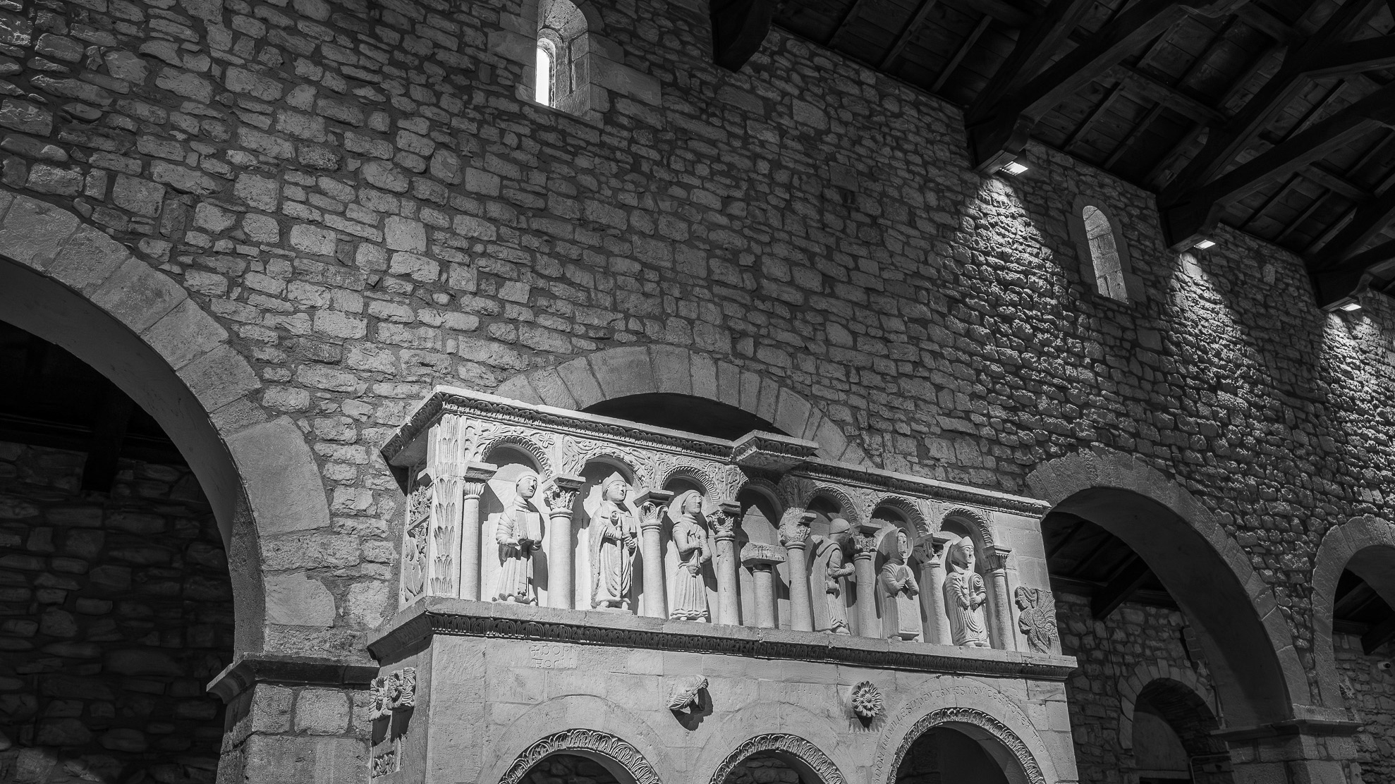
The waterfalls of Carpinone
In the heart of a very small village in Molise, immersed in an enchanted forest and floral nature, stands the Carpinone waterfall, one of the most fascinating spectacles of the local nature.
2023
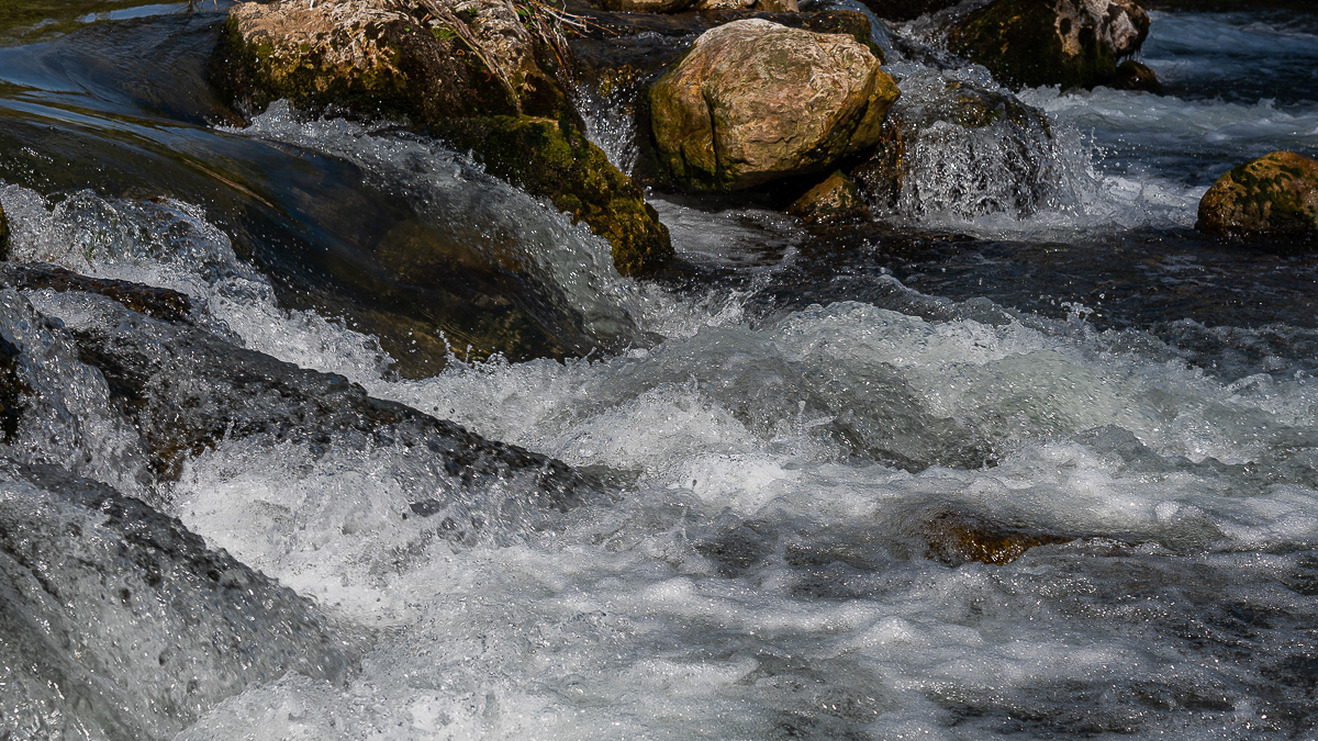
Roccavivara, Sanctuary of S. Maria di Canneto
Surrounded by pines, in an area already inhabited in Roman times, the abbey-sanctuary of S. M. di Canneto rises isolated in the middle of an olive grove.
2021
Isernia, Carpino river
2023
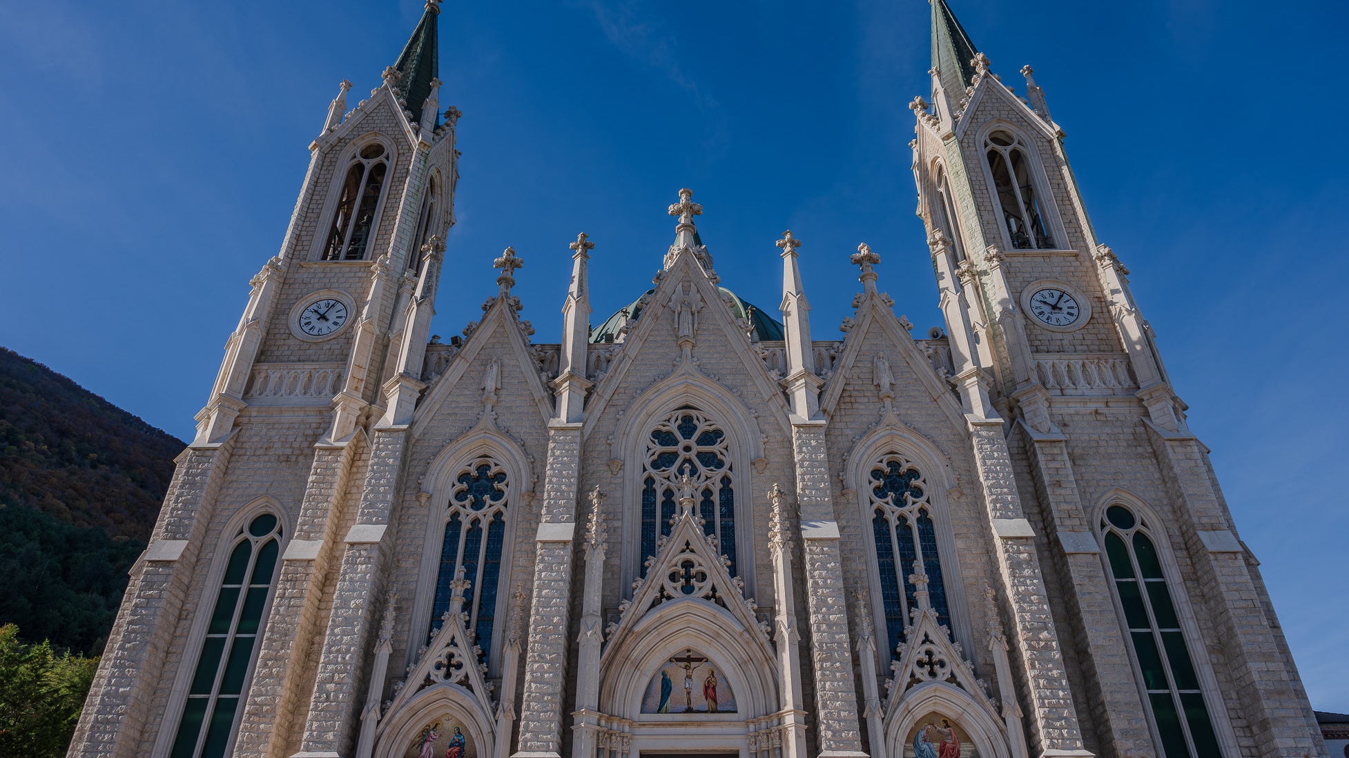
Castelpetroso. Sanctuary of the Madonna Addolorata
The basilica sanctuary of Maria Santissima Addolorata, or simply the Addolorata basilica is an important Catholic place of worship located in the municipality of Castelpetroso, in the province of Isernia, and belonging to the archdiocese of Campobasso-Boiano. According to the testimony of the visionaries, the Virgin Mary appeared for the first time on March 22, 1888 to two shepherdesses named Serafina and Bibiana in the locality of Cesa tra Santi, on the slopes of Mount Patalecchia. This first apparition was followed by others and, following the recognition of this phenomenon, Pope Paul VI proclaimed Maria Santissima Addolorata of Castelpetroso patroness of Molise on 6 December 1973. In the 1890s, it was decided to build a sanctuary near the place of the apparitions, but further downstream from this, so that it would be more easily accessible by pilgrims. The project was entrusted to Giuseppe Gualandi, whose death (1944) was succeeded by his son Francesco. On 28 September 1890 the first stone was laid and construction of the sanctuary began. It proceeded slowly due to economic problems and the two world wars: in 1907 the chapel of the Poles was finished and opened for worship, but the perimeter walls of the church were completed only in 1950, thanks to donations from don Nicolino Passarelli, canon theologian of the cathedral of Venafro, lawyer of the Sacra Rota and professor. In the following decades the sanctuary was completed and consecrated on 21 September 1975 by the bishop of Boiano-Campobasso Alberto Carinci.
