The waterfalls of Carpinone
2022
In the heart of a very small village in Molise, immersed in an enchanted forest and floral nature, stands the Carpinone waterfall, one of the most fascinating spectacles of the local nature.
You may also like
2025
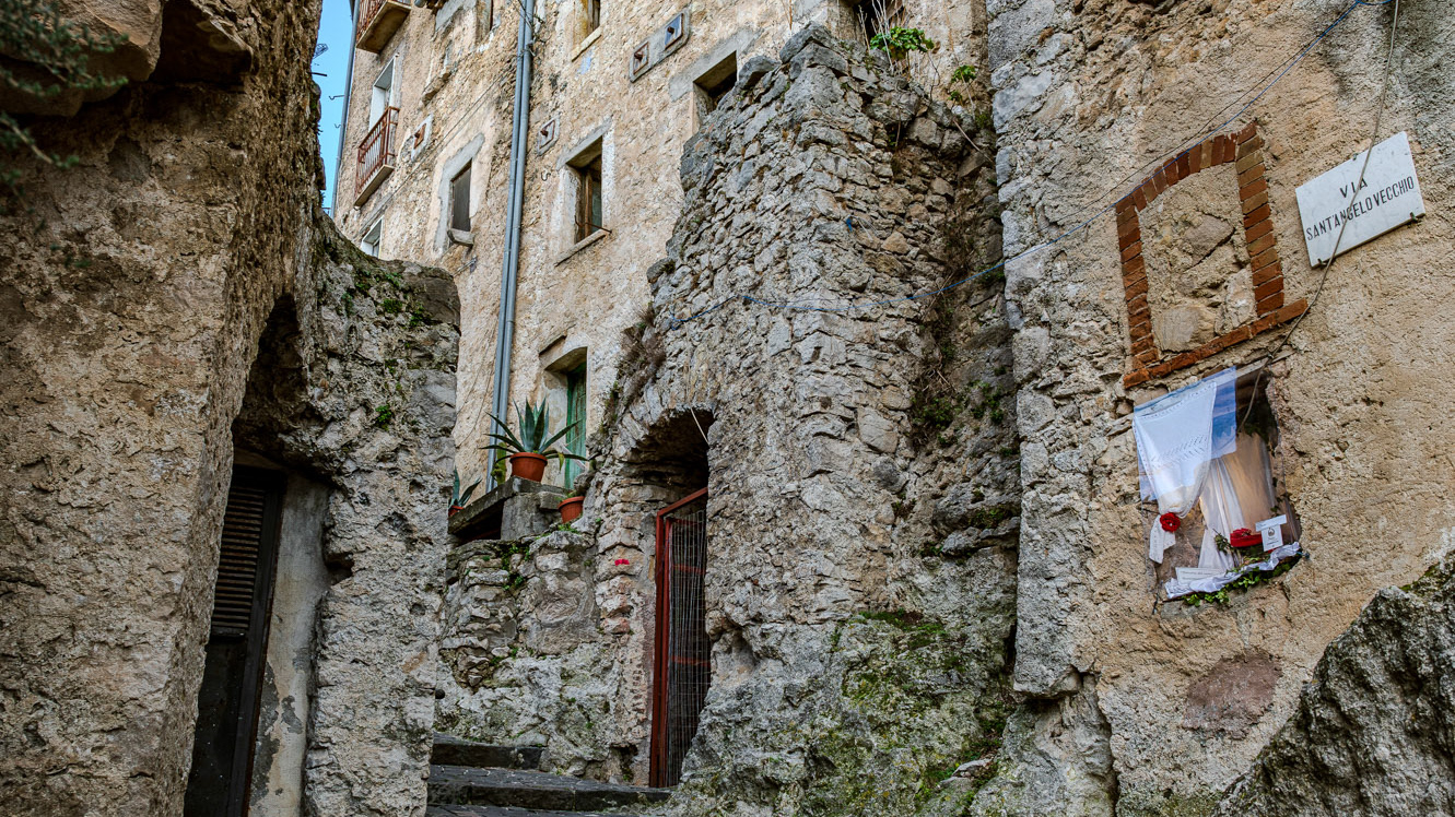
Pesche. The Ancient Village
2016
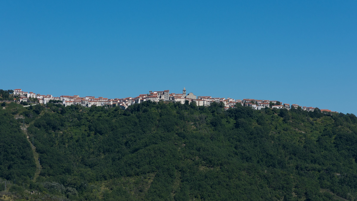
Poggio Sannita (IS)
Poggio Sannita (Caccavone in dialetto poggese) è un comune italiano di 639 abitanti della provincia di Isernia in Molise.
2022
Molise, autumn 2022

2025
Frosolone. Church of San Michele Arcangelo
2023
Pescolanciano. D’Alessandro Castle
The D'Alessandro castle is a fortified structure in the municipality of Pescolanciano. The castle was built on the rocky spur (peschio) that overlooks the town near a Samnite fortification.
2025
Monteroduni. The Pignatelli Castle
Pignatelli Castle dates back to the 18th century, when the Lombards erected a small fort, with the chapel of San Michele, their patron saint, now the parish church of the town.
2023
Fornelli
Fornelli, italian municipality of 1,883 inhabitants in the province of Isernia in the Molise region. It is part of the circuit of the most beautiful villages in Italy.
2022
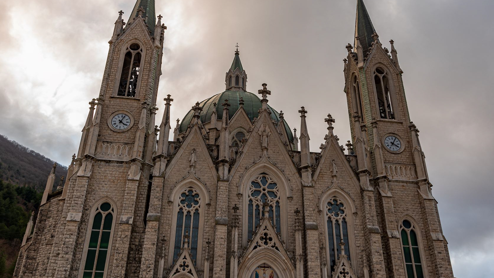
Castelpetroso. Sanctuary of the Madonna Addolorata.
The basilica sanctuary of Maria Santissima Addolorata, or simply the Addolorata basilica is an important Catholic place of worship located in the municipality of Castelpetroso, in the province of Isernia, and belonging to the archdiocese of Campobasso-Boiano. According to the testimony of the visionaries, the Virgin Mary appeared for the first time on March 22, 1888 to two shepherdesses named Serafina and Bibiana in the locality of Cesa tra Santi, on the slopes of Mount Patalecchia. This first apparition was followed by others and, following the recognition of this phenomenon, Pope Paul VI proclaimed Maria Santissima Addolorata of Castelpetroso patroness of Molise on 6 December 1973. In the 1890s, it was decided to build a sanctuary near the place of the apparitions, but further downstream from this, so that it would be more easily accessible by pilgrims. The project was entrusted to Giuseppe Gualandi, whose death (1944) was succeeded by his son Francesco. On 28 September 1890 the first stone was laid and construction of the sanctuary began. It proceeded slowly due to economic problems and the two world wars: in 1907 the chapel of the Poles was finished and opened for worship, but the perimeter walls of the church were completed only in 1950 [2], thanks to donations from don Nicolino Passarelli, canon theologian of the cathedral of Venafro, lawyer of the Sacra Rota and professor. In the following decades the sanctuary was completed and consecrated on 21 September 1975 by the bishop of Boiano-Campobasso Alberto Carinci.
2024
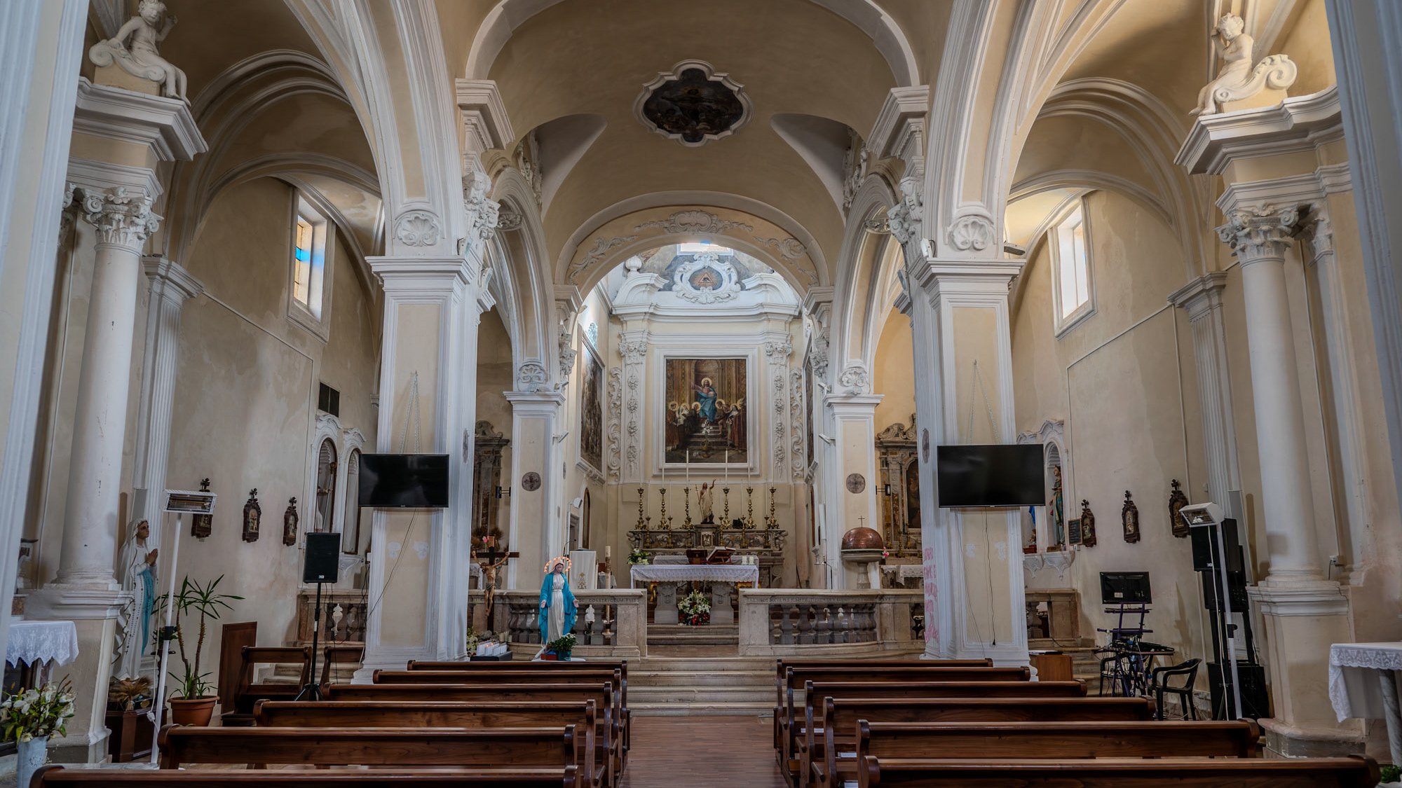
Rionero Sannitico. Church of San Bartolomeo Apostolo
Mother church of San Bartolomeo Apostolo. Formerly dedicated to S. Maria Assunta in cielo. Its shape is a Latin cross, with three naves separated by two rows of columns.
2015
Vastogirardi (IS)
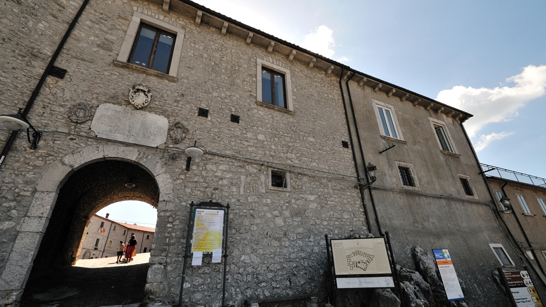
Vastogirardi (Rë Uàštë in molisano) è un comune italiano di 690 abitanti della provincia di Isernia nel Molise. Si presume che il nome Vastogirardi tragga origine dal nome di un capitano crociato, Giusto Girardi. In passato assunse anche il nome di Castrum Girardi per via del castello (altri toponimi attestati risultano Castel Girardo, Rocca Girardo, Guasti Belardi, Guardia Giraldo e Guardia Gerardo) e successivamente il nome attuale, che semplicisticamente si attribuisce alla felice posizione geografica del paese, dalla cui sommità è possibile godere di un vasto panorama, ma molto più scientificamente da un'allitterazione di gergo longobardo. Il patrimonio archeologico-architettonico di Vastogirardi annovera i resti di un santuario sannitico del II secolo a.C. in località S. Angelo e l'eccezionale complesso del castello fortificato, corte interna e complesso parrocchiale. Portali in pietra delle abitazioni, le stesse in pietrame a pezzatura irregolare, e aperture incorniciate da blocchi lapidei e mensole in pietre sagomate rappresentano invece il carattere dell'edilizia minore. Il castello fu costruito nel XIII secolo dagli Angioini sopra il colle montuoso del borgo. Successivamente appartenne ai Caldora e poi a famiglie del regno di Napoli, tra i quali i Caracciolo. Il castello fu oggetto di consolidamento nel XVIII secolo e con tale restauro fu trasformato in residenza gentilizia. Il castello è inglobato nelle mura di cinta della parte più alta del borgo, includendo la piazza e la chiesa parrocchiale di San Nicola. Si accede da un arco a tutto sesto. Della fortificazione angioina resta una torre circolare, e del periodo Caldoresco un loggiato nella parte all'interno del borgo prospiciente la piazza. Il castello assieme al borgo forma una ellisse. La Chiesa di S. Nicola di Bari risale al XV secolo ma l'edificio risulta integralmente restaurato nel 1702, come attesta un'iscrizione murata nel portale d'ingresso. Ad una sola navata, al cui interno è presente un antico ostensorio in argento, vi si accede attraverso un porticato a sua volta accessibile da una doppia rampa. Al suo fianco vi è un campanile in pietra.
