Isernia, Il convento celestino di S. Spirito
2018
You may also like
2018
Civitacampomarano (CB), il Castello Angioino
Il castello è il principale monumento della città. Si erge nella parte centrale del paese su un crinale di arenaria, fra i torrenti Mordale, che attraversa la Cavatella, e il Vallone Grande, uno degli affluenti del fiume Biferno. Si sostituì ad una più antica torre di avvistamento, databile probabilmente intorno alla seconda metà del XII secolo e di cui si può ancora vedere il perimetro, messo in evidenza durante gli imponenti lavori di restauro della fine del secolo scorso. L'impianto così come lo vediamo oggi, invece, secondo gli studiosi dovrebbe risalire al XIII secolo, presentando l'edificio degli elementi architettonici tipici dell'epoca, sotto la dominazione angioina. Originariamente di fronte ad esso era posta la chiesa madre, crollata nel 1903 a seguito di uno sfaldamento del costone sul quale si ergeva. Di essa ora resta visibile solo il basamento, mentre il campanile è intatto e funzionante ed è provvisto anche di un orologio i cui rintocchi risuonano ogni quarto d'ora.
2023
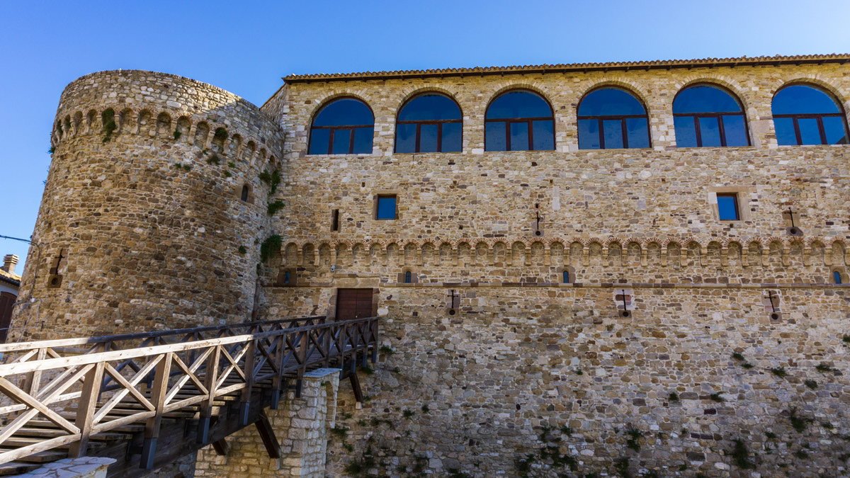
Pescolanciano. D’Alessandro Castle
The D'Alessandro castle is a fortified structure in the municipality of Pescolanciano. The castle was built on the rocky spur (peschio) that overlooks the town near a Samnite fortification.
2025
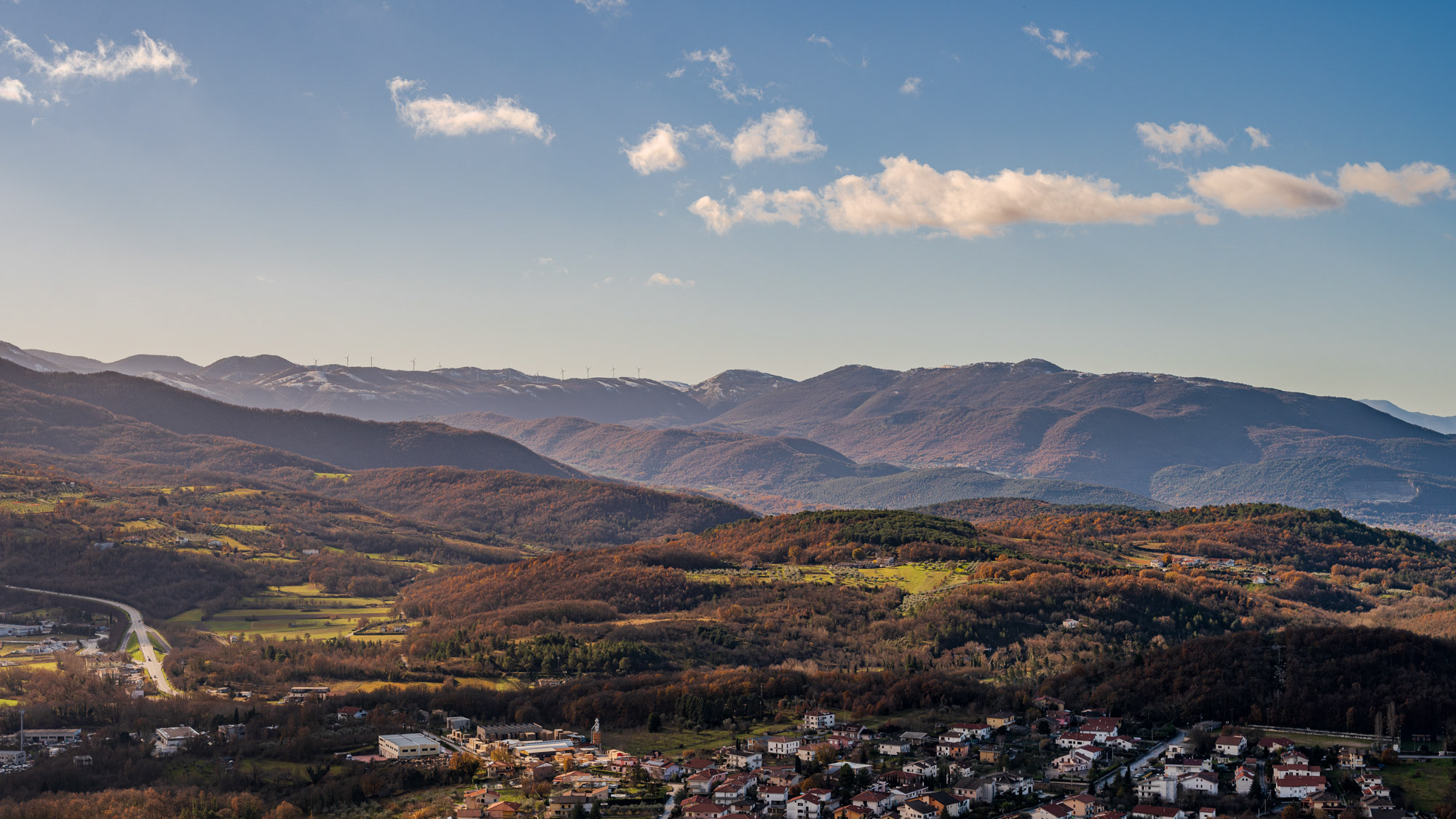
Molise. Winter landscapes from Pesche
2023
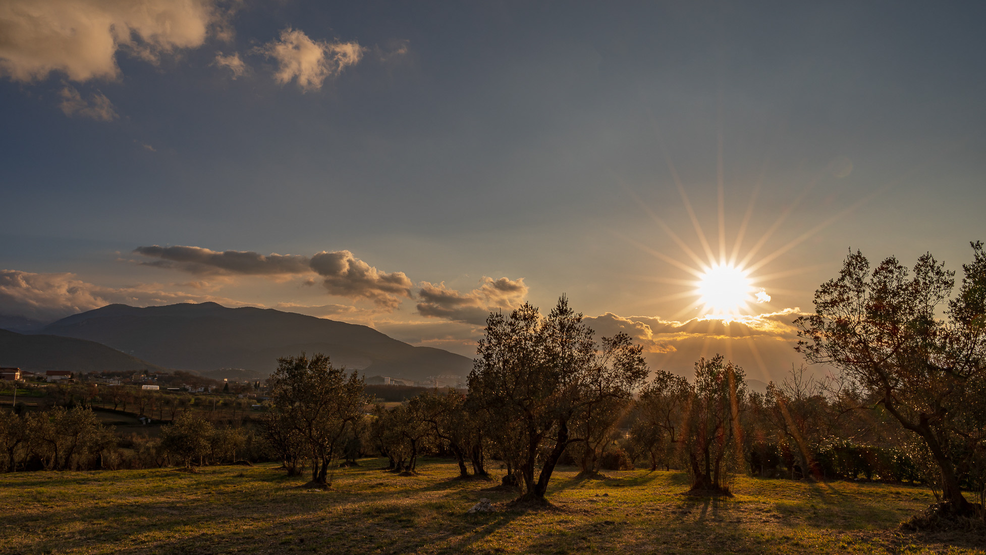
Spectacular photographs of sunsets in Molise
Molise is an Italian region with a stretch of coast overlooking the Adriatic Sea. It includes a part of the Abruzzo National Park in the Appennine mountain range, with a rich wildlife and trails.
2021
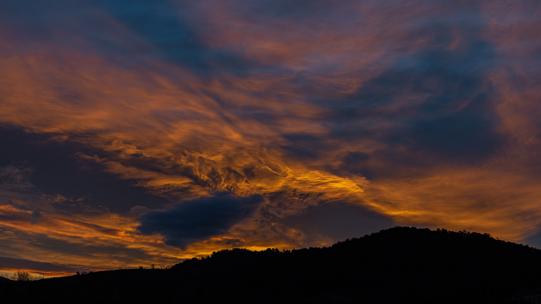
Isernia, aurora
2023
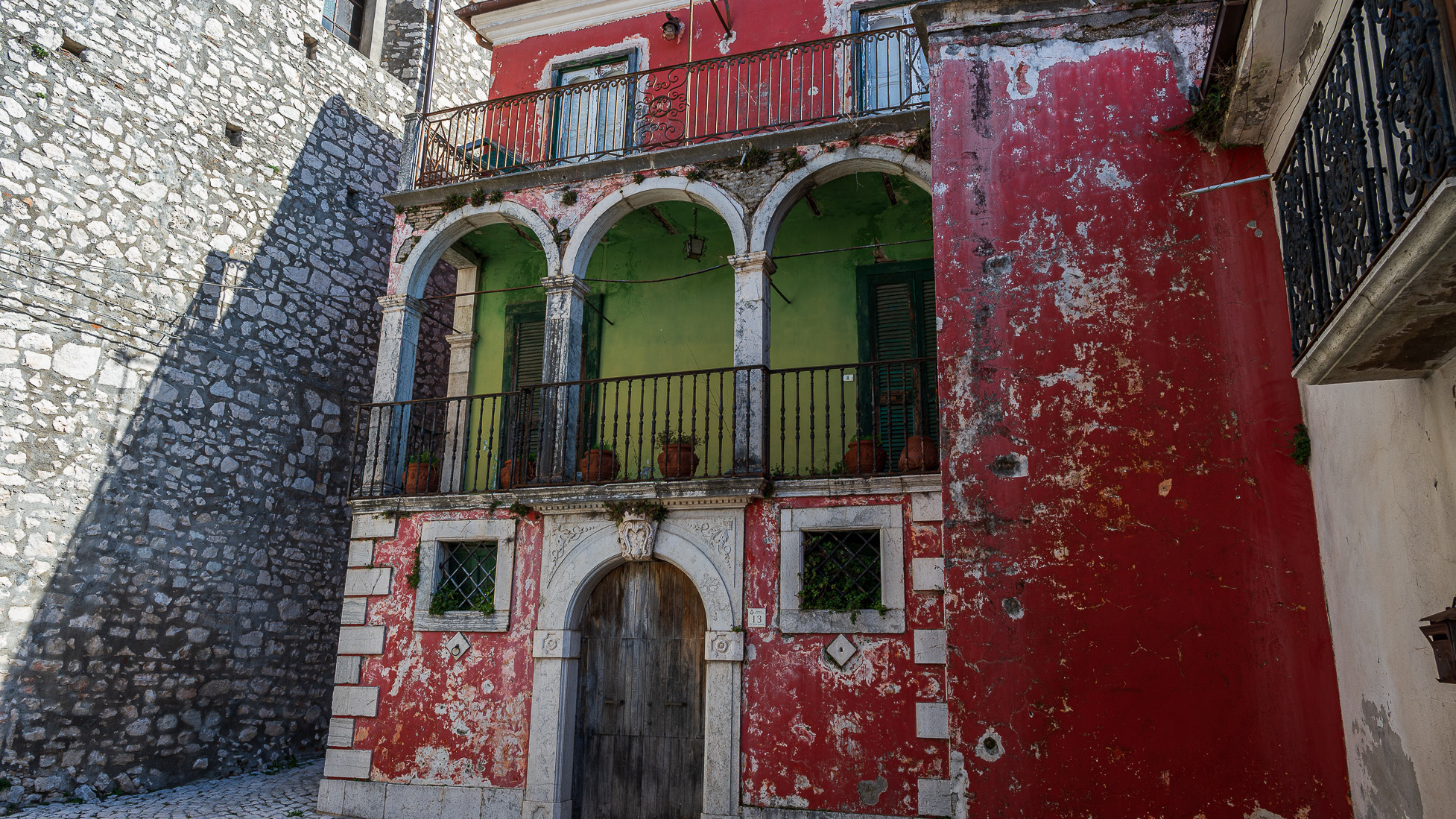
Macchia d'Isernia. Glimpses and panoramas
Macchia d'Isernia is an Italian town of 1,008 inhabitants in the province of Isernia in Molise. The most important monuments are the baronial castle D'Alena and the church of San Nicola di Bari.
2017
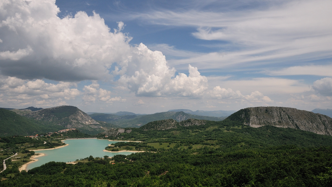
Molise - Castel S. Vincenzo (IS) - Il Lago
Il lago di Castel San Vincenzo è un invaso artificiale realizzato sul finire degli anni Cinquanta per scopi idroelettrici. Il lago occupa una superficie di 6,140 km² ed ha una capacità utile di 10 milioni di metri cubi. Le acque che alimentano il lago provengono principalmente dai torrenti della Montagna Spaccata nei vicini comuni di Alfedena e Barrea. Le acque di questi torrenti alimentano le centrali Enel di Pizzone, di Rocchetta a Volturno e di Colli a Volturno. Seppure artificiale, il lago è ben armonizzato con il paesaggio circostante di montagne e boschi. La fauna acquatica è costituita in prevalenza da salmonidi. In prossimità del lago, dove è possibile dedicarsi alla pesca e ad altri sport d'acqua, sono presenti un'area attrezzata per il camping e un maneggio.
2015
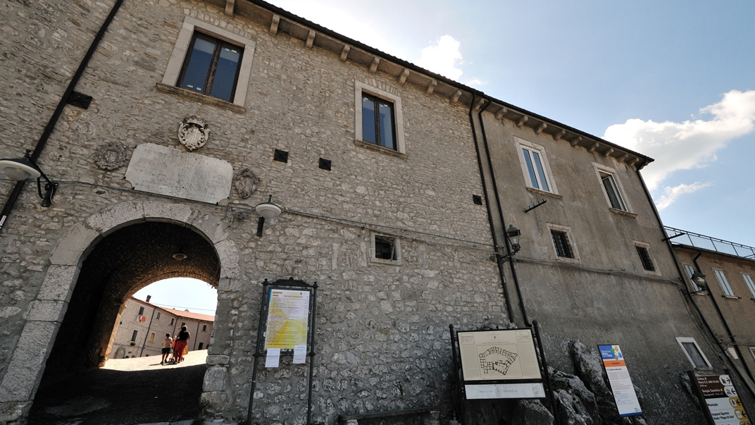
Vastogirardi (IS)
Vastogirardi (Rë Uàštë in molisano) è un comune italiano di 690 abitanti della provincia di Isernia nel Molise. Si presume che il nome Vastogirardi tragga origine dal nome di un capitano crociato, Giusto Girardi. In passato assunse anche il nome di Castrum Girardi per via del castello (altri toponimi attestati risultano Castel Girardo, Rocca Girardo, Guasti Belardi, Guardia Giraldo e Guardia Gerardo) e successivamente il nome attuale, che semplicisticamente si attribuisce alla felice posizione geografica del paese, dalla cui sommità è possibile godere di un vasto panorama, ma molto più scientificamente da un'allitterazione di gergo longobardo. Il patrimonio archeologico-architettonico di Vastogirardi annovera i resti di un santuario sannitico del II secolo a.C. in località S. Angelo e l'eccezionale complesso del castello fortificato, corte interna e complesso parrocchiale. Portali in pietra delle abitazioni, le stesse in pietrame a pezzatura irregolare, e aperture incorniciate da blocchi lapidei e mensole in pietre sagomate rappresentano invece il carattere dell'edilizia minore. Il castello fu costruito nel XIII secolo dagli Angioini sopra il colle montuoso del borgo. Successivamente appartenne ai Caldora e poi a famiglie del regno di Napoli, tra i quali i Caracciolo. Il castello fu oggetto di consolidamento nel XVIII secolo e con tale restauro fu trasformato in residenza gentilizia. Il castello è inglobato nelle mura di cinta della parte più alta del borgo, includendo la piazza e la chiesa parrocchiale di San Nicola. Si accede da un arco a tutto sesto. Della fortificazione angioina resta una torre circolare, e del periodo Caldoresco un loggiato nella parte all'interno del borgo prospiciente la piazza. Il castello assieme al borgo forma una ellisse. La Chiesa di S. Nicola di Bari risale al XV secolo ma l'edificio risulta integralmente restaurato nel 1702, come attesta un'iscrizione murata nel portale d'ingresso. Ad una sola navata, al cui interno è presente un antico ostensorio in argento, vi si accede attraverso un porticato a sua volta accessibile da una doppia rampa. Al suo fianco vi è un campanile in pietra.
2022
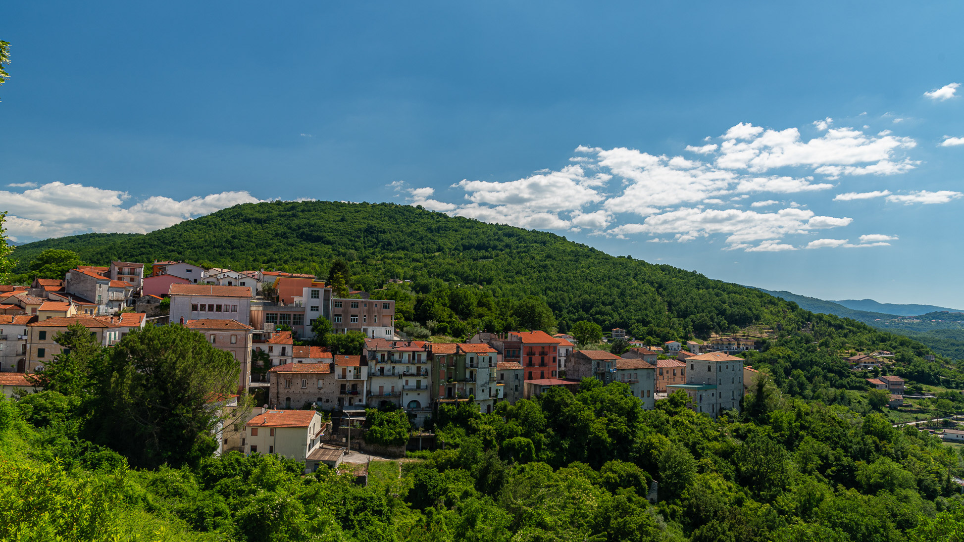
Carpinone.
Carpinone is an Italian town of 1,075 inhabitants in the province of Isernia in Molise. The name derives from the Carpino river that runs along the center, or from the Carpinus plant.
2022
Castel San Vincenzo. The lake. Winter 2022
Castel San Vincenzo, Isernia, Molise, Italy. The lake. It is an artificial reservoir built at the end of the fifties for hydroelectric purposes. It occupies an area of 6.140 km². The lake of Castel San Vincenzo is an artificial reservoir built in the late 1950s for hydroelectric purposes. The lake occupies an area of 0.614 km² and has a useful capacity of 10 million cubic meters. The waters that feed the lake come mainly from the streams of the Montagna Spaccata in the nearby municipalities of Alfedena and Barrea. The waters of these streams feed the Enel power stations in Pizzone, Rocchetta a Volturno and Colli a Volturno. Although artificial, the lake is well harmonized with the surrounding landscape of mountains and woods. The aquatic fauna consists mainly of salmonids. Near the lake, where it is possible to engage in fishing and other water sports, there is an area equipped for camping and a riding stable.
