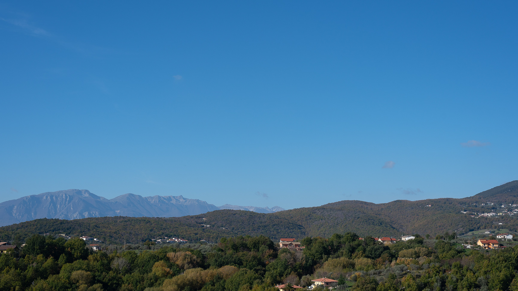
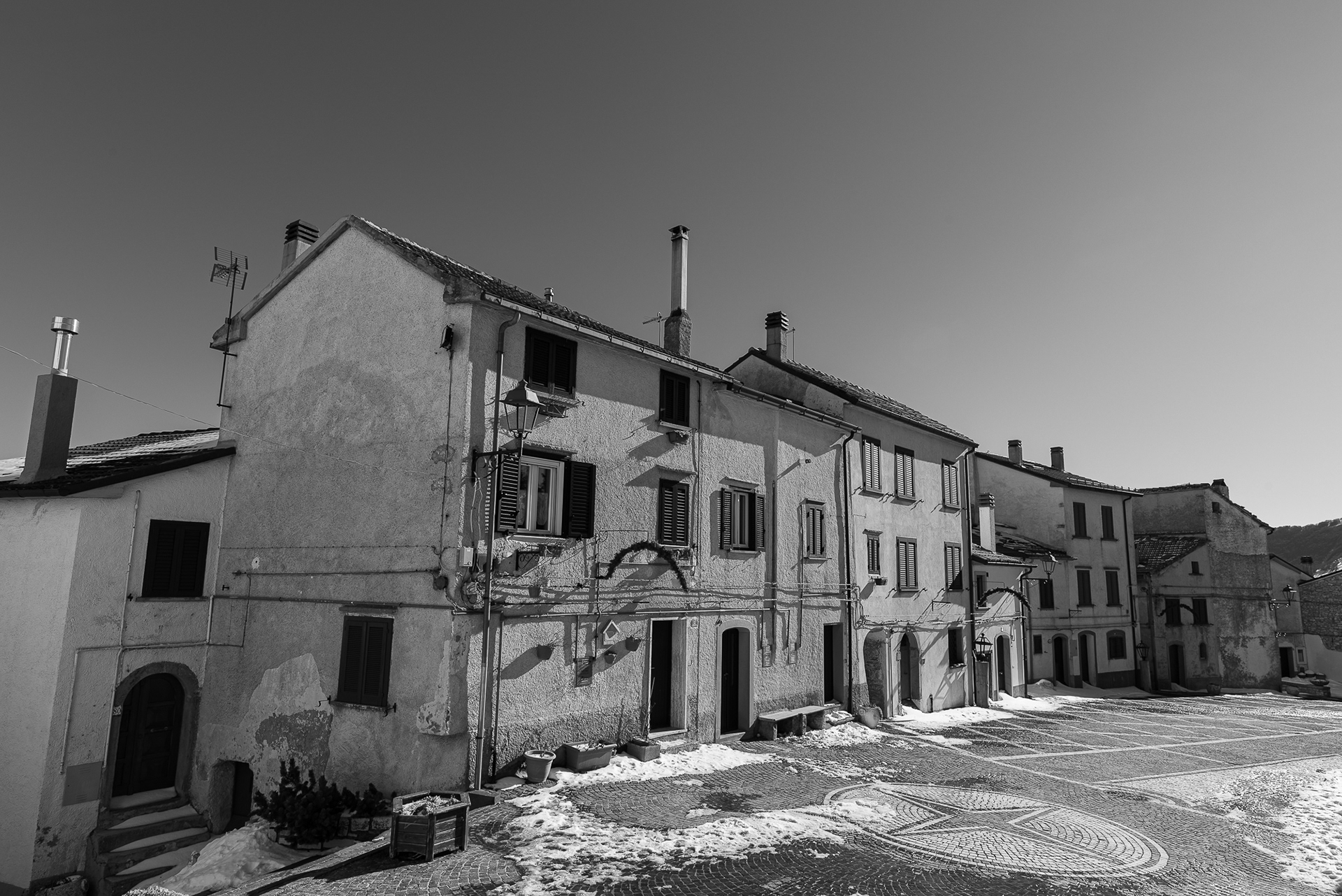
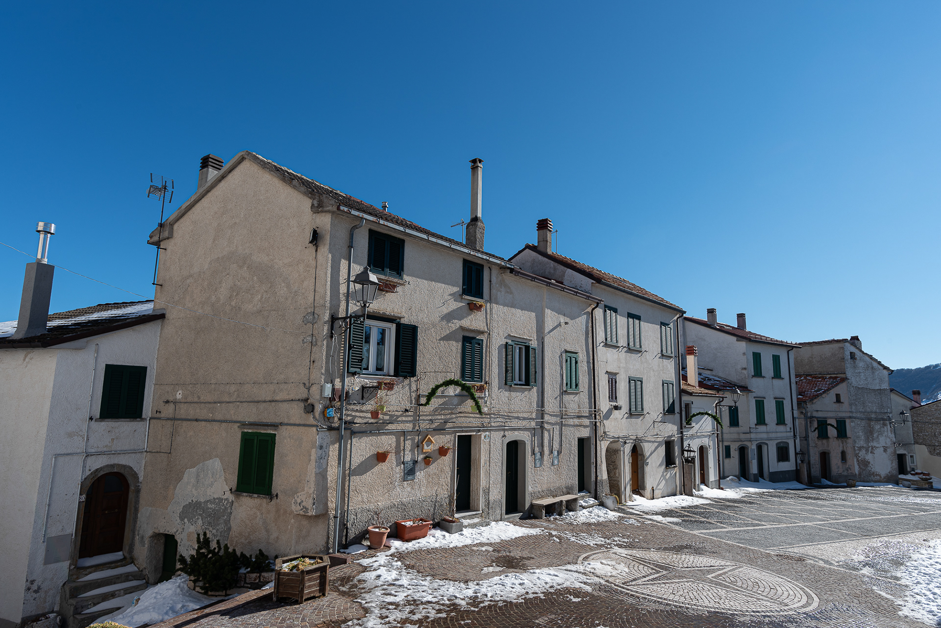
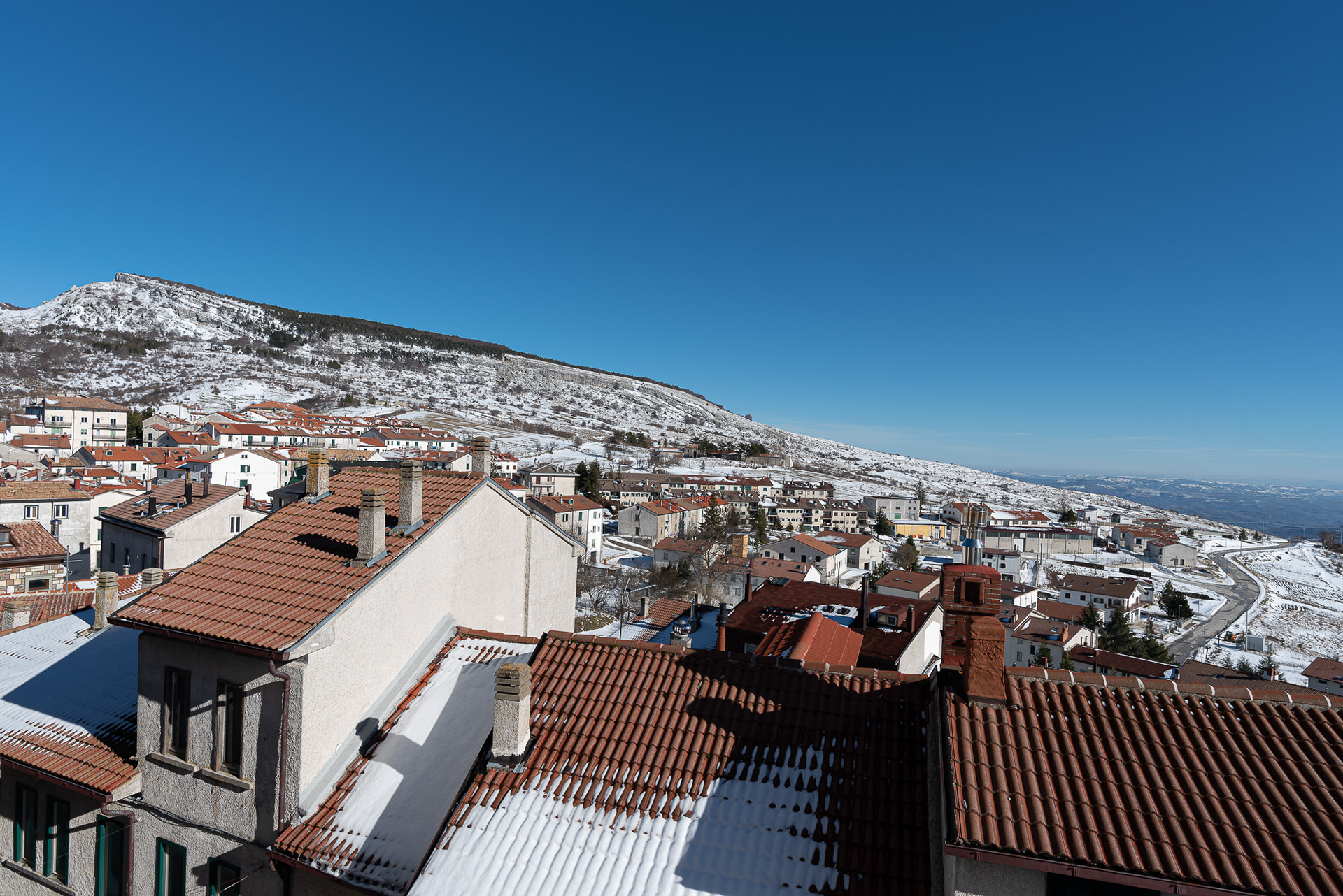
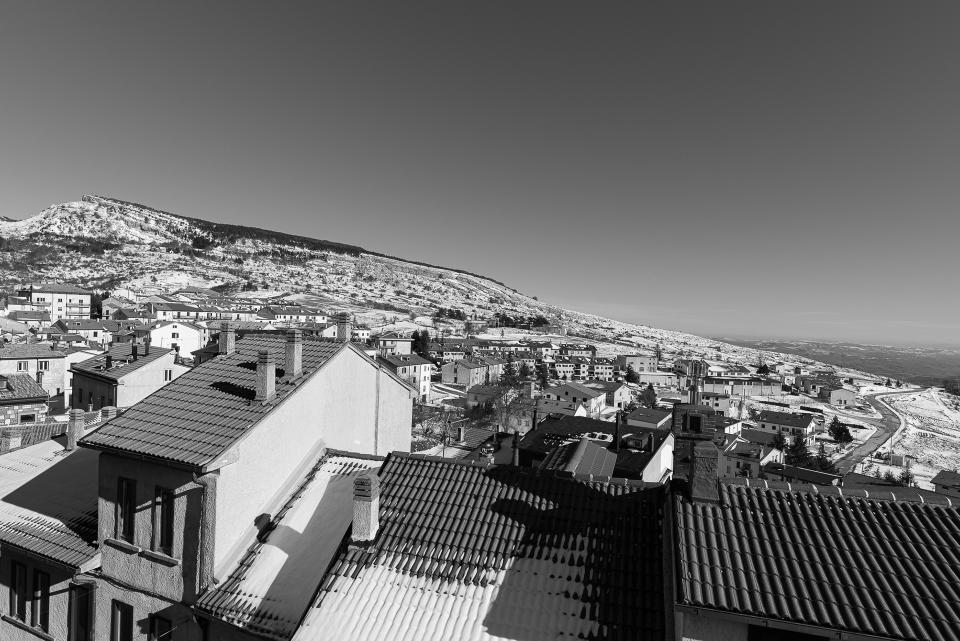
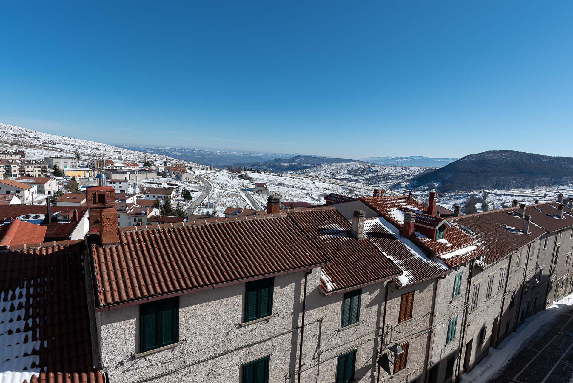
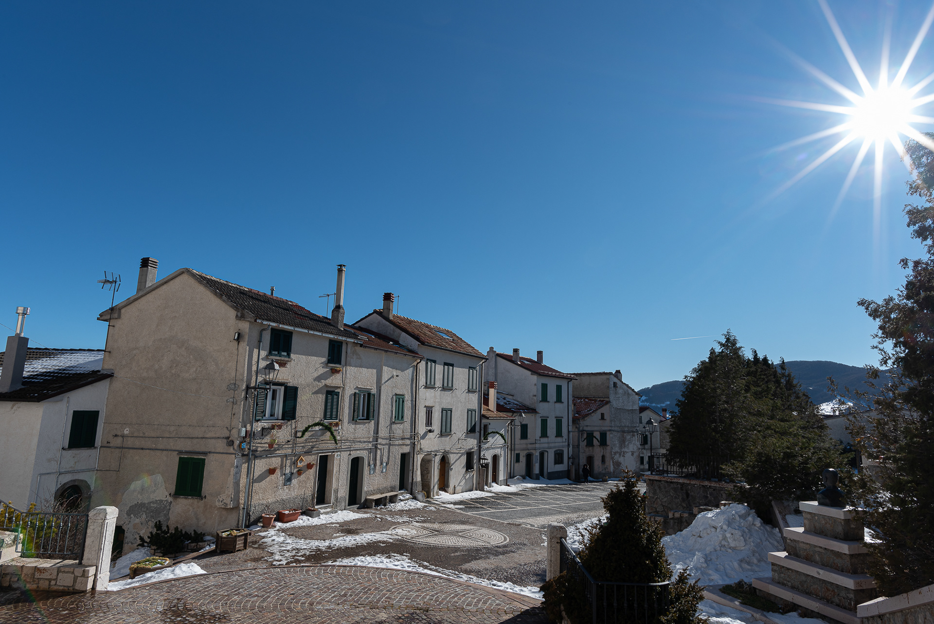
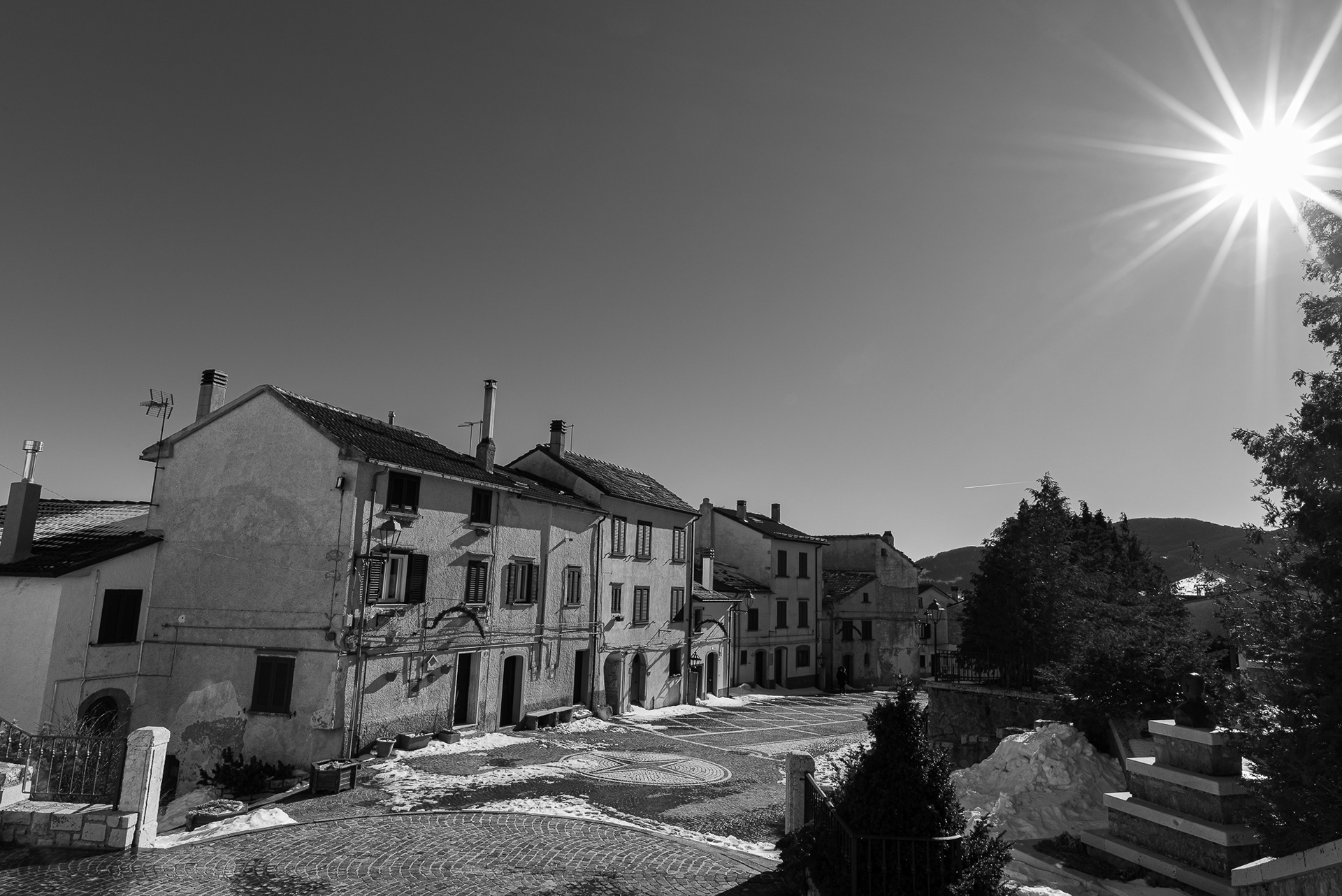
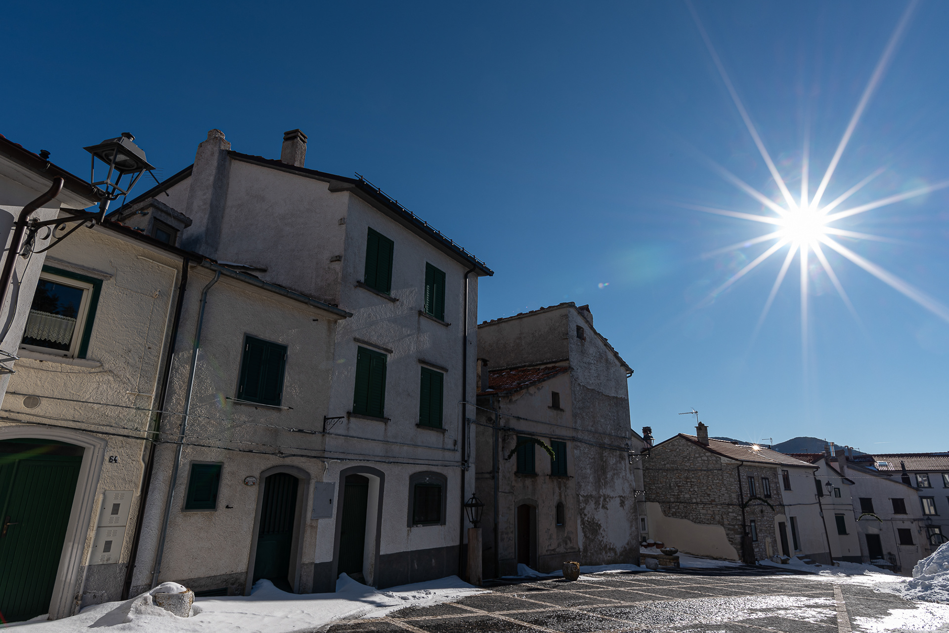
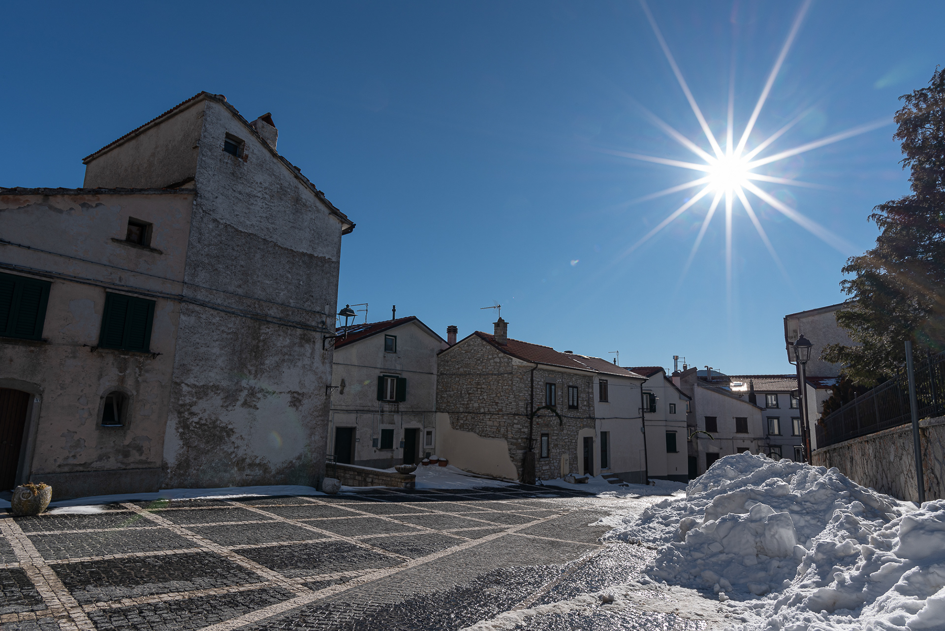
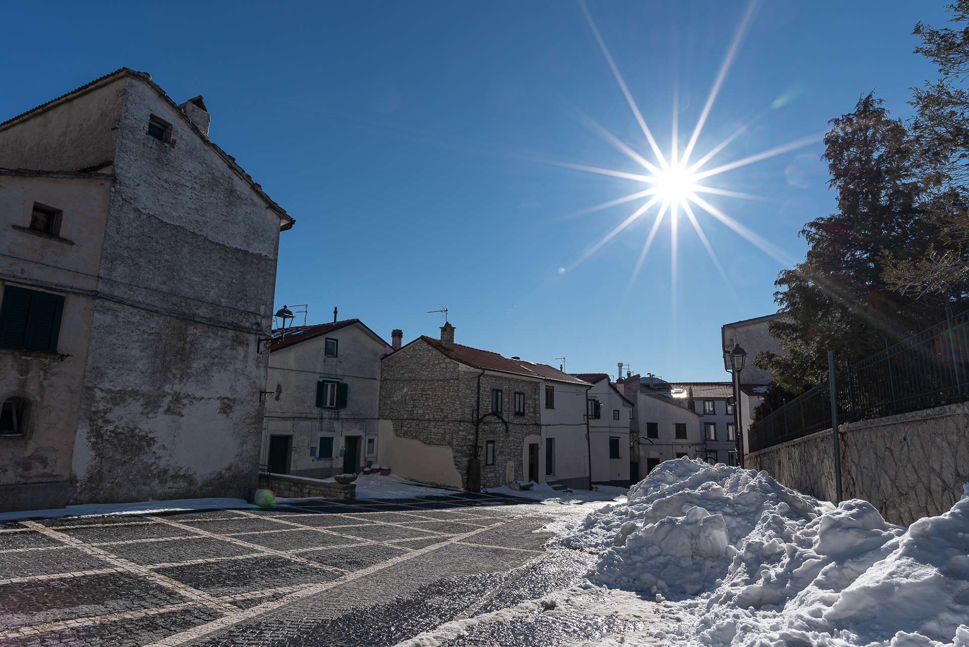
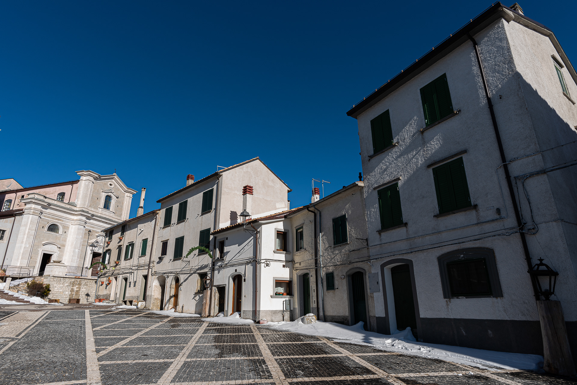
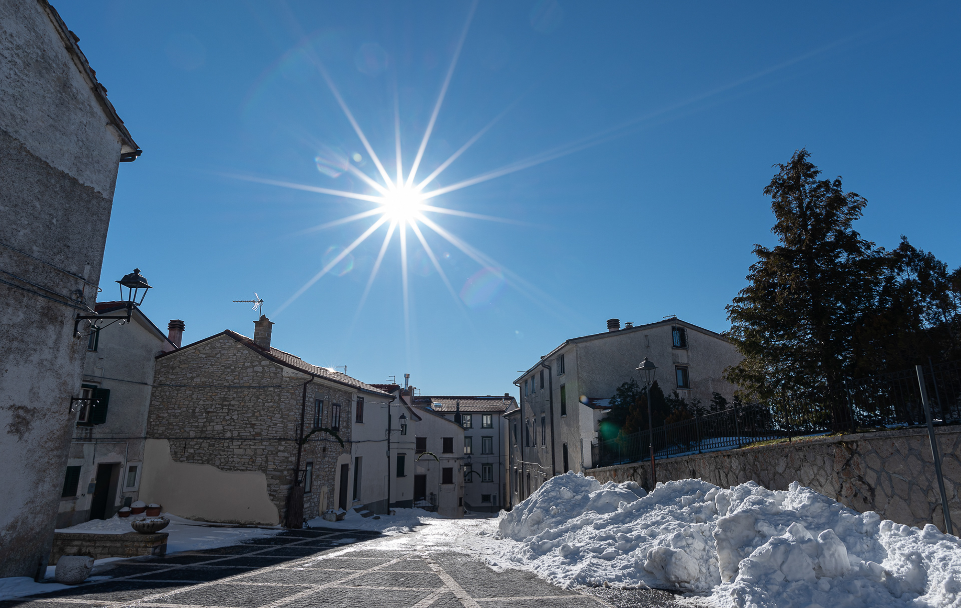
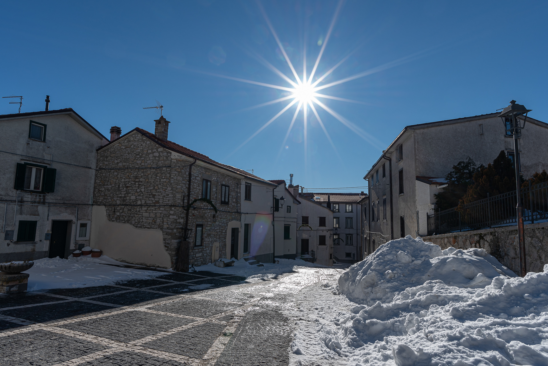
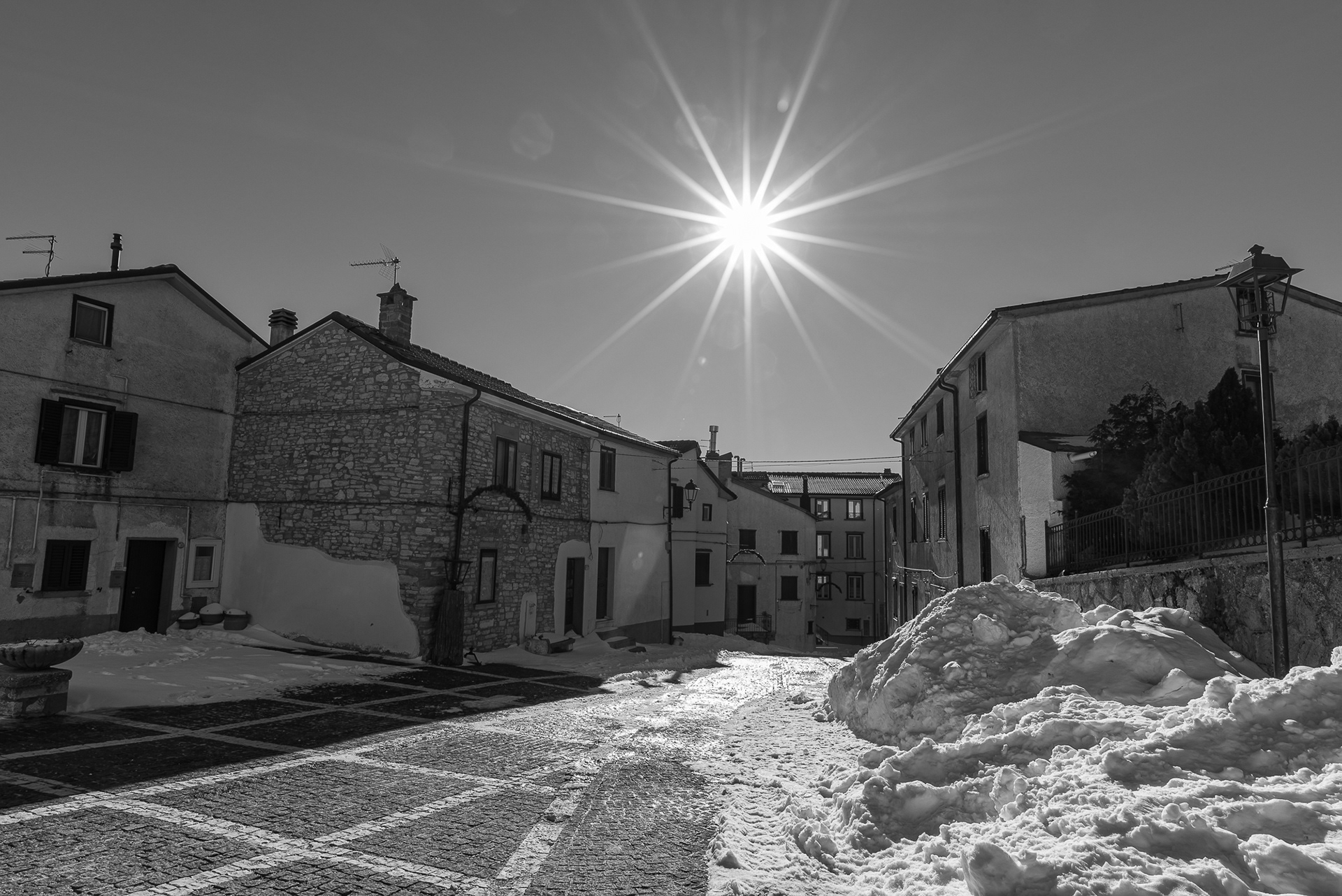
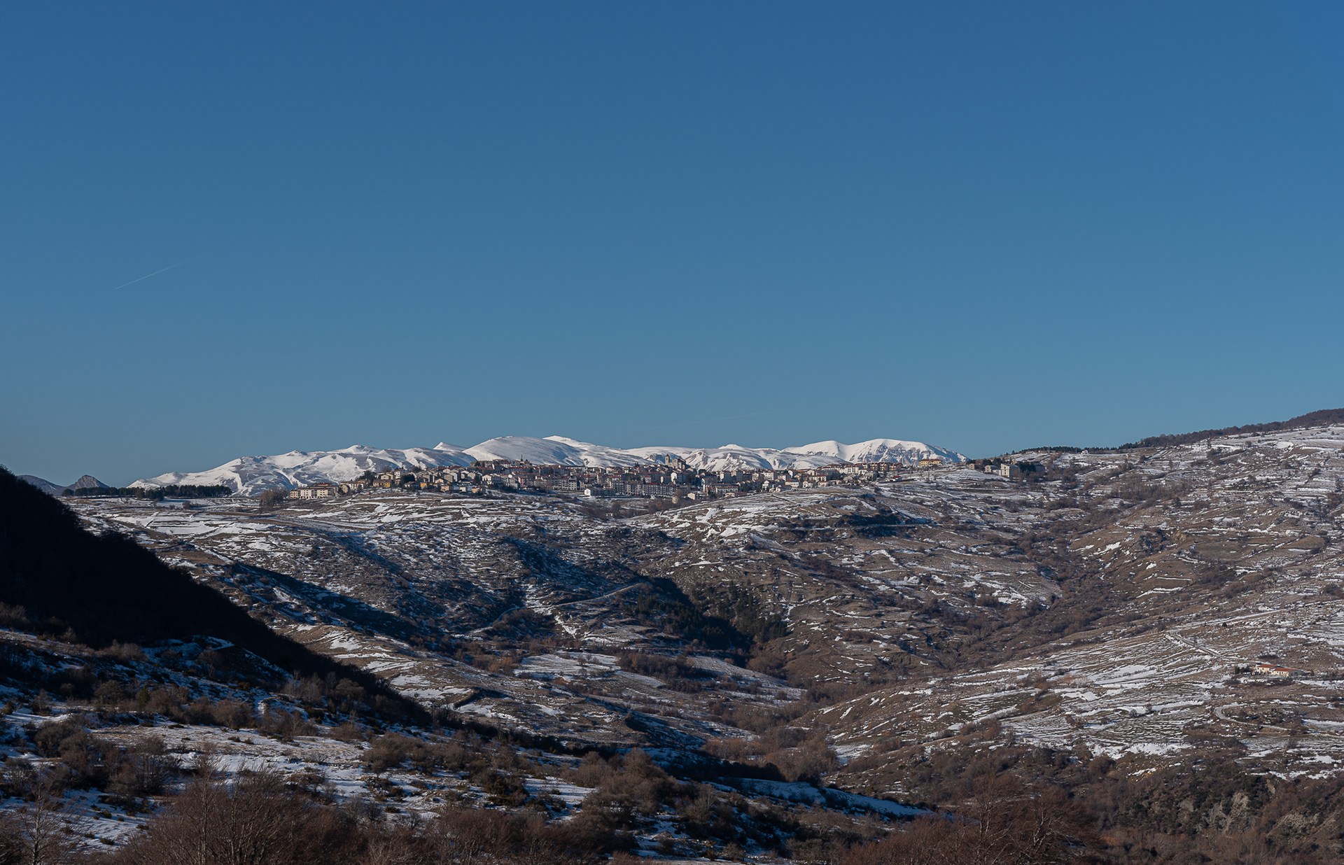
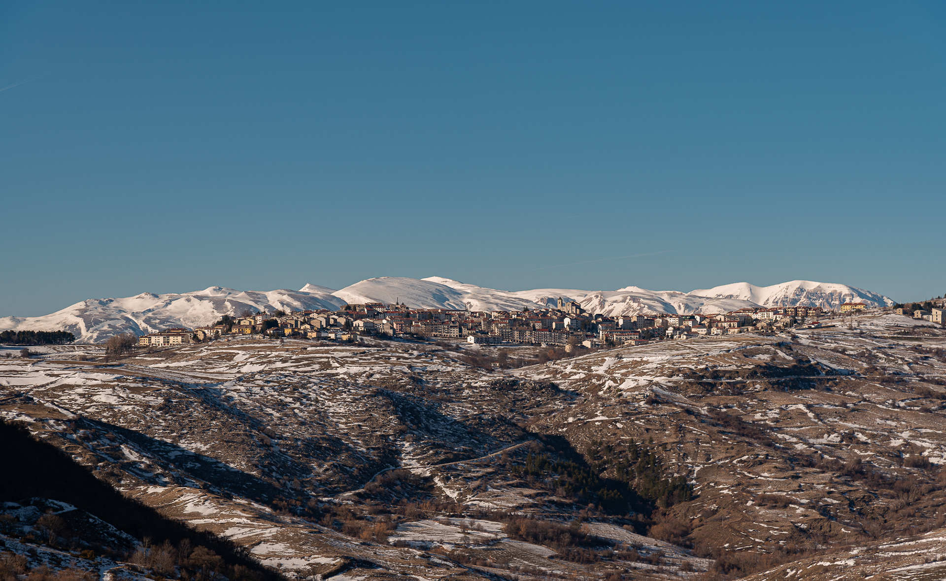
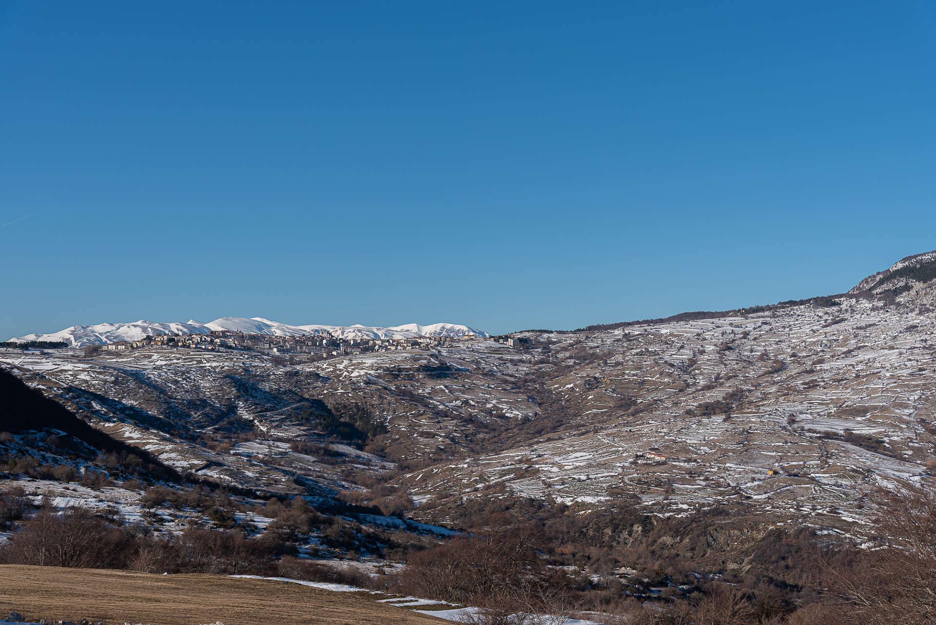
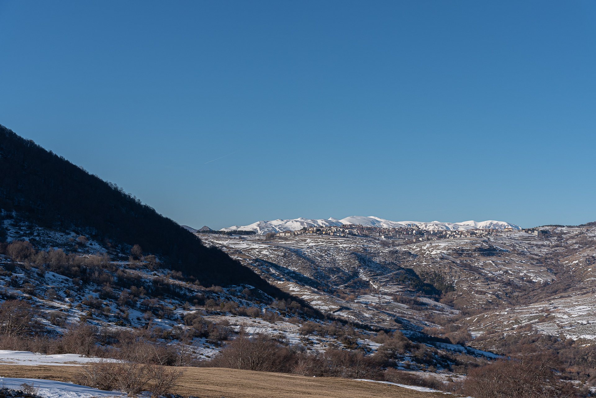
You may also like

2026
Isernia. The European Carnival of Zoomorphic Masks
2018
Isernia, Il convento celestino di S. Spirito
2023
Vastogirardi, novembre 2023
Physical geography It is located at 1200 m above sea level. in the part of Molise bordering Abruzzo. The territory of Vastogirardi (IS) extends over an area of 60.72 km² and borders the municipalities of Capracotta to the north, San Pietro Avellana, Castel di Sangro (AQ) and Rionero Sannitico to the west, Forlì del Sannio, Roccasicura and Carovilli to the south, Agnone to the east. From a morphological point of view, the territory is separated from that of Capracotta by reliefs of Monte Capraro, which oscillate between 1300 - 1350 m, which descend steeply to Piano S. Angelo and Difesa Grande and Capo di Trigno (ancient lake basin ) at an altitude of 1100 m from which the Trigno river originates, one of the two most important Molise rivers which flows into the Adriatic Sea and gives its name to the road of the same name which reaches up to San Salvo (CH), i.e. the Trignina. To the west are the mountains of Montagnola (1292 m) and Monte Miglio (1350 m), to the south is Monte Pizzi (1373 m), while to the east are the mountains of Montagna Fiorita with Montarone (1278 m). Vastogirardi develops close to a hill at the top of which are the castle and the ecclesiastical complex of San Nicola di Bari. Inside the walls is the village, which appears well preserved in its original defense function, as evidenced by the cylindrical towers incorporated in factories and the supports between building blocks. The result of subsequent expansions, the churches of S. Rocco and S. Maria delle Grazie were built at the beginning of the 18th century and incorporated into the third urban expansion dating back to the 18th - 19th century. Over the course of the last century the town no longer followed the aggregation trend of stepped bands, according to the morphological trend of the site, but developed along via Garibaldi c.da Difensa (towards Castel di Sangro) and via Re d'Italia (direction Isernia). Origins of the name It is assumed that the name Vastogirardi originates from the name of a crusader captain, Giusto Girardi. In the past it also took the name of Castrum Girardi due to the castle (other attested toponyms are Castel Girardo, Rocca Girardo, Guasti Belardi, Guardia Giraldo and Guardia Gerardo) and subsequently its current name, deriving from an alliteration of Lombard jargon.
2023
Fornelli
Fornelli, italian municipality of 1,883 inhabitants in the province of Isernia in the Molise region. It is part of the circuit of the most beautiful villages in Italy.
2022
Castiglione di Carovilli. The Ammond church
Ancient church located on the hill, dating back to the fifteenth century, which today, especially in the summer months, hosts theatrical and classical music events.
2021
Termoli
Termoli è un comune italiano di 32 953 abitanti della provincia di Campobasso in Molise. Termoli si trova lungo la costa adriatica. Unico porto del Molise, è centro peschereccio, turistico e industriale. Mantieni il borgo medievale chiuso all'interno delle mura che lo separano dalla città moderna.
2021
Autumnal landscape of Molise
2022
Rocchetta al Volturno
Rocchetta a Volturno is an Italian town of 1 098 inhabitants in the province of Isernia in Molise. The Municipality of Rocchetta al Volturno is made up of two nuclei: the original village, called Rocchetta Alta, or Rocchetta Vecchia, still perched in a defensive position on the mountain, and Rocchetta Nuova, which is located at a lower altitude. The new Rocchetta was born because, at the end of the 19th century, the slope that connected the southern part of the ancient town with the opposite hill was deforested and the land began to show serious subsidence from 1890 due to the progressive sliding of the superimposed layers of clay and sandstone, increased by water infiltrations, both rain and spring. In 1905, following further disastrous events, the population moved for the most part downstream, where there was a hamlet called Case Sparse. The modern town is developed today in the center of a plateau, bordered to the west by the terminal part of the Mainarde chain and to the east by a depression, at the bottom of which the Volturno flows; about two kilometers away are the sources of the river. Its name characterizes the toponyms of other nearby municipalities such as Colli a Volturno and Cerro al Volturno.
2023
Roccasicura. Church of St. Leonard of Limoges
Founded by the Longobards, it has maintained the old appearance of a small chapel with a single nave. The portal retains its 12th century appearance with a simple arch and lunette.
2023
Rocchetta in Volturno. Sanctuary of S. M. delle Grotte
Of Benedictine architecture, between the 13th and 14th centuries the Sanctuary, which is flanked by a monastery, represents a complex of very significant religious importance.
Back to Top