2023
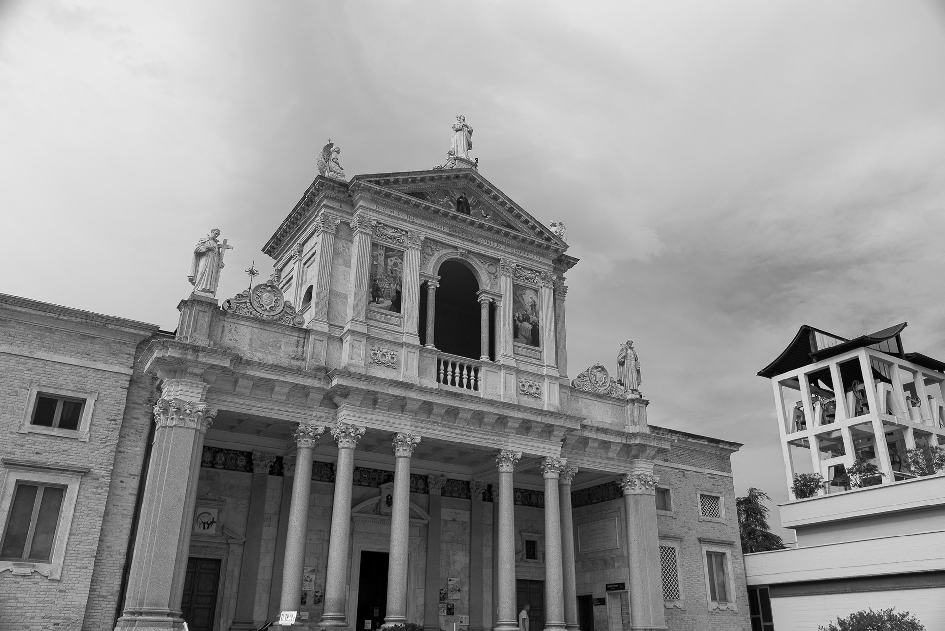
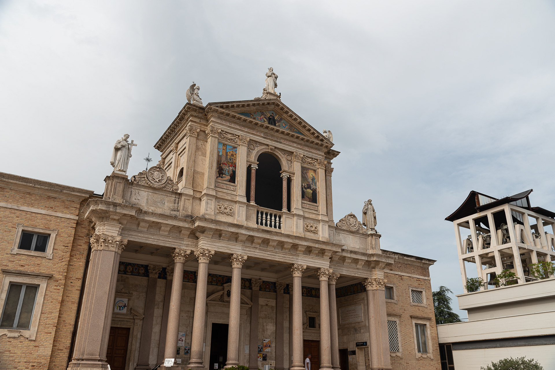
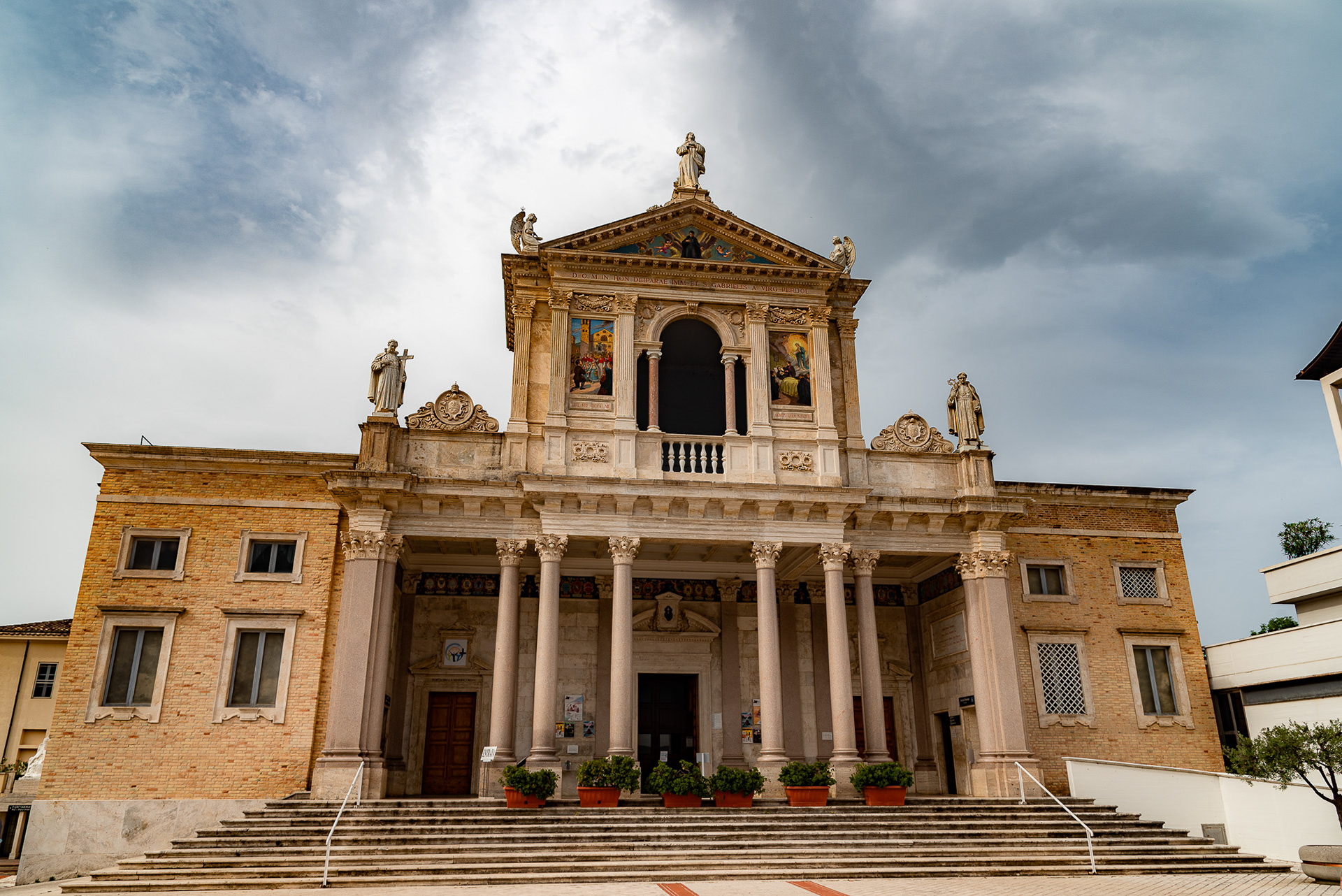
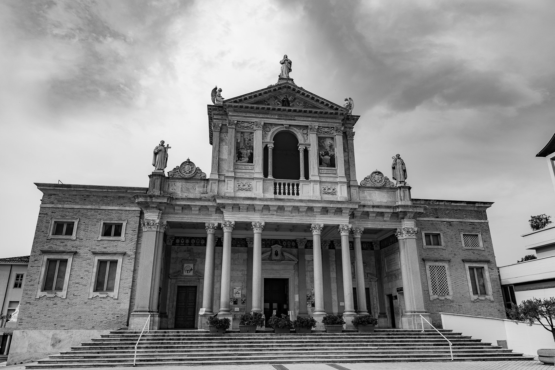
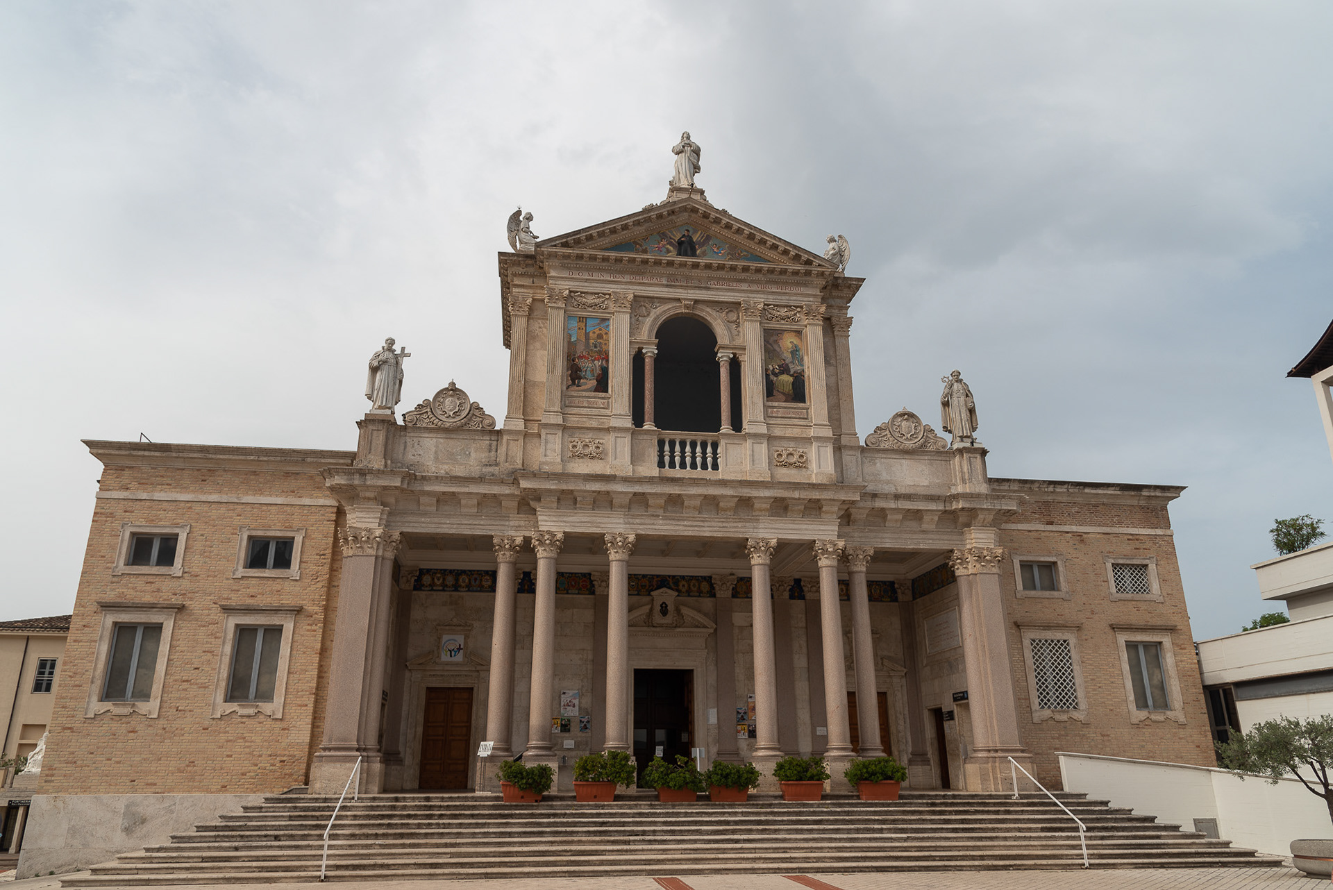
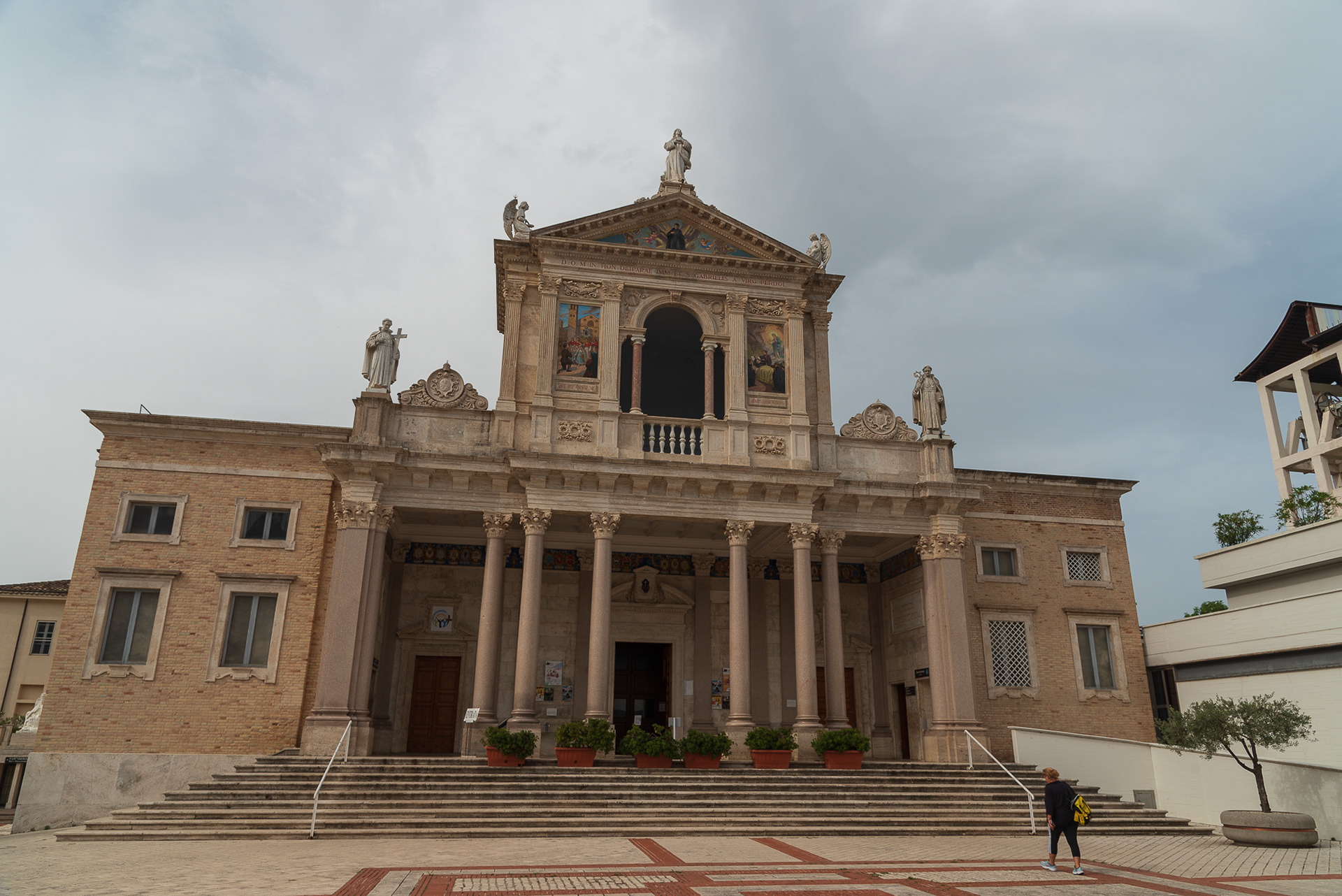
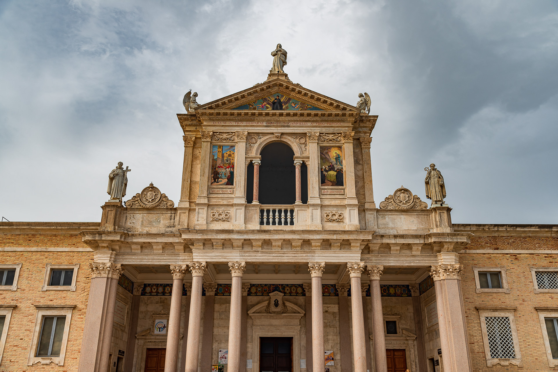
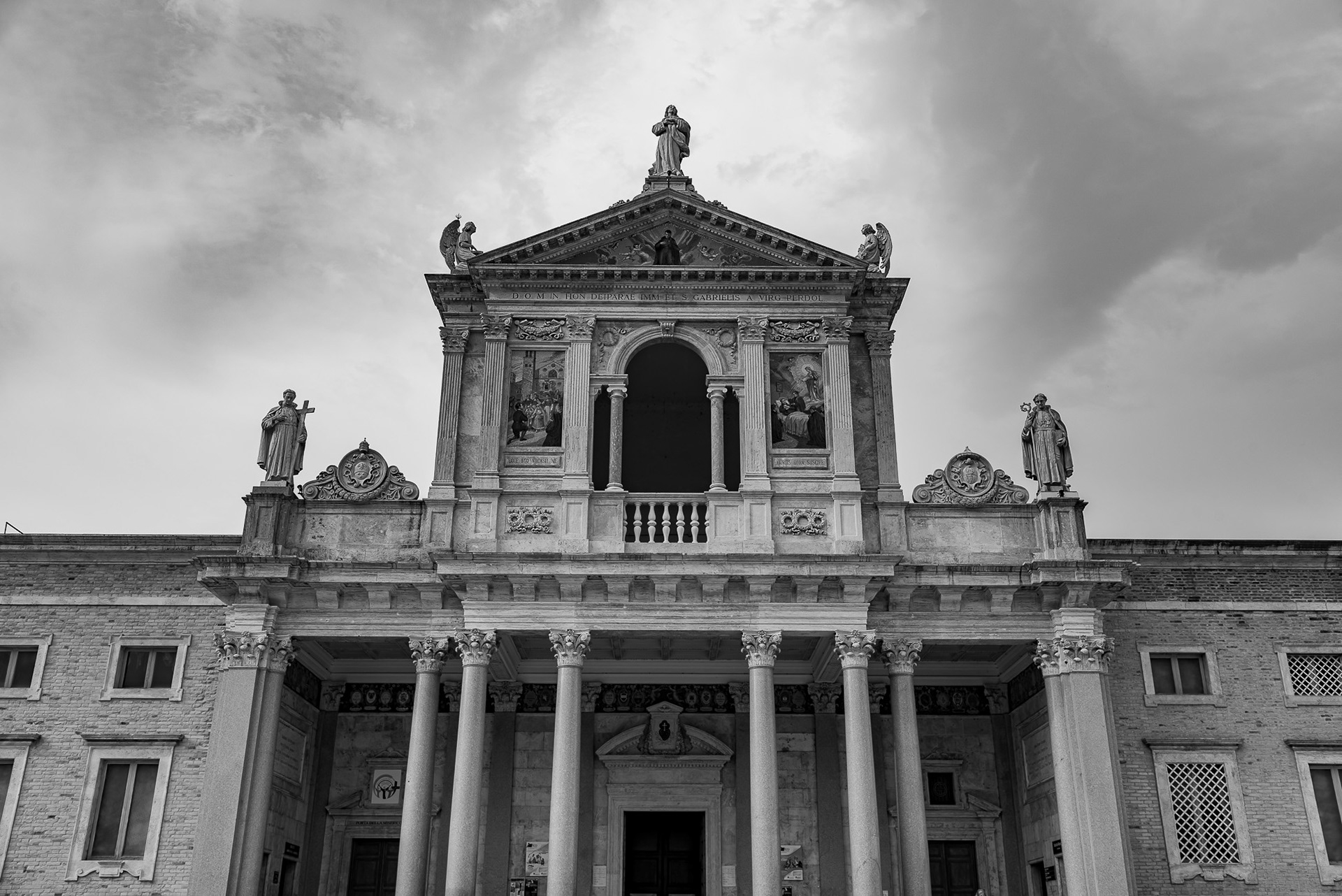
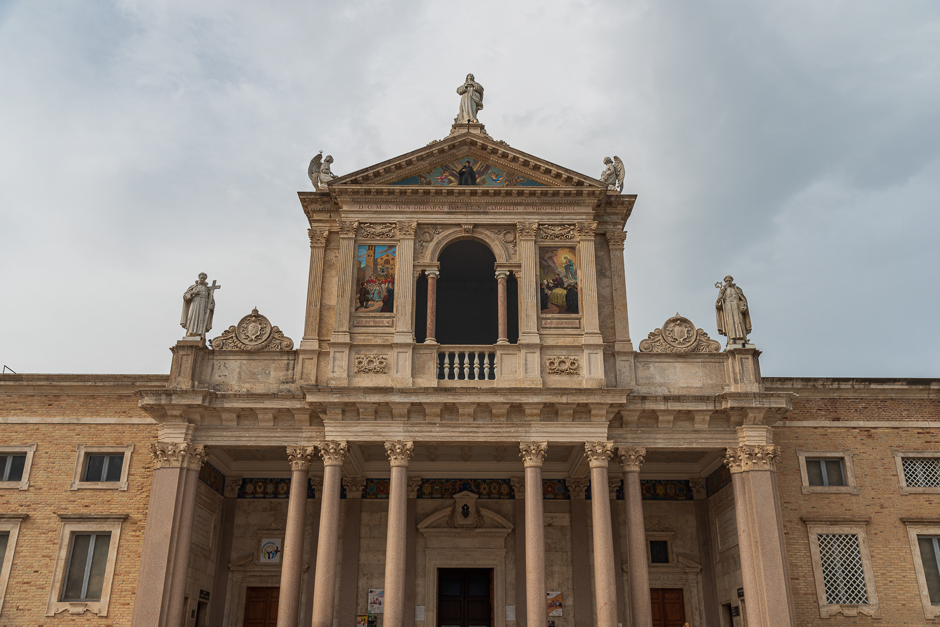
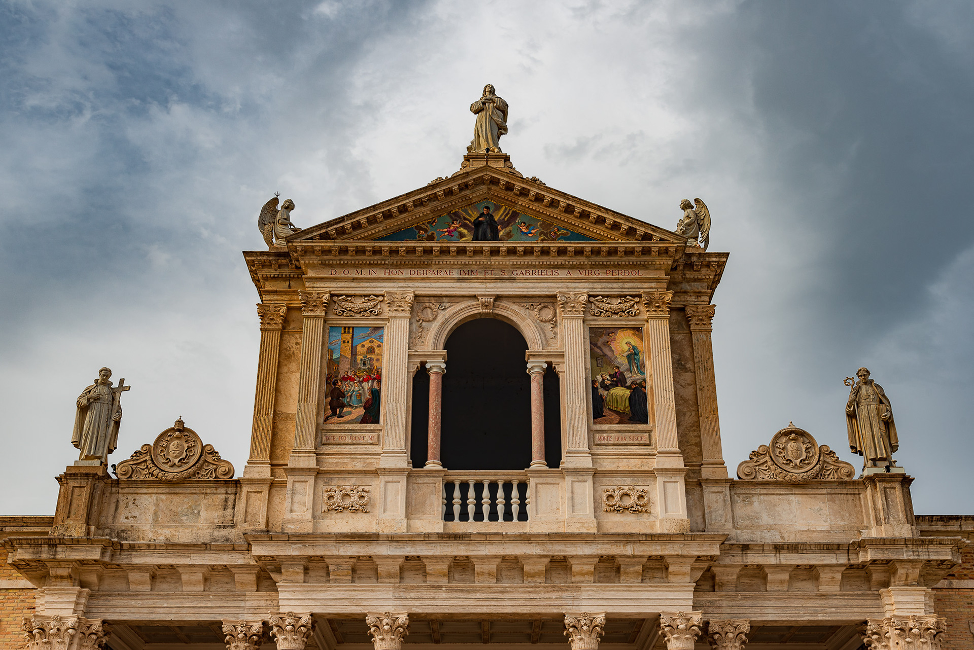
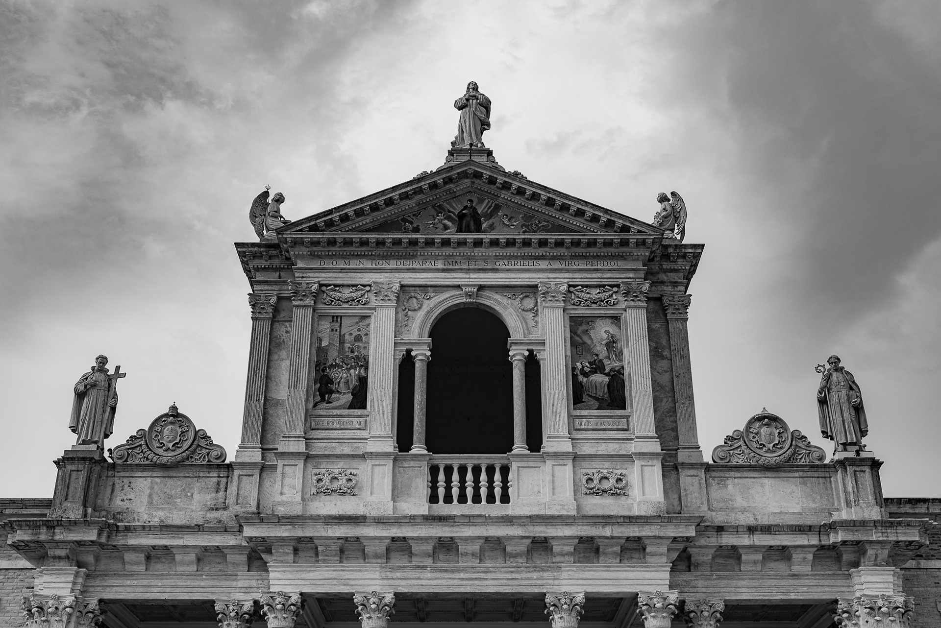
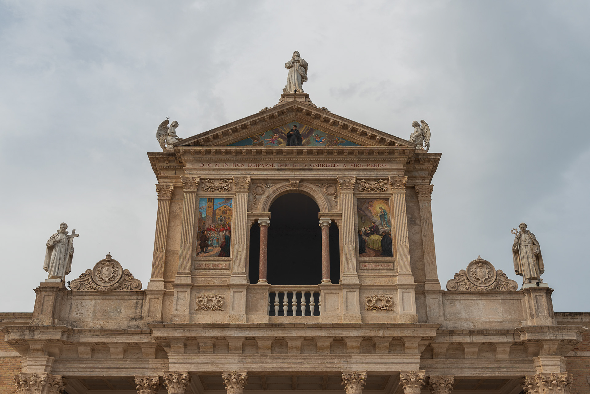
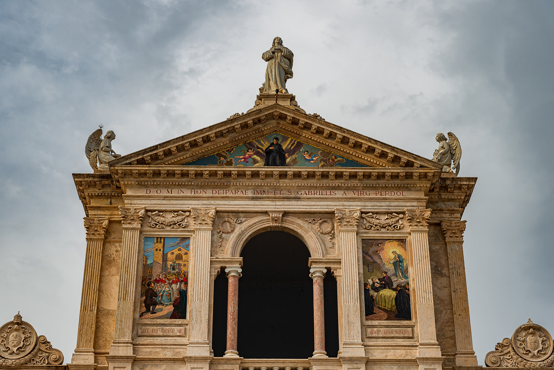
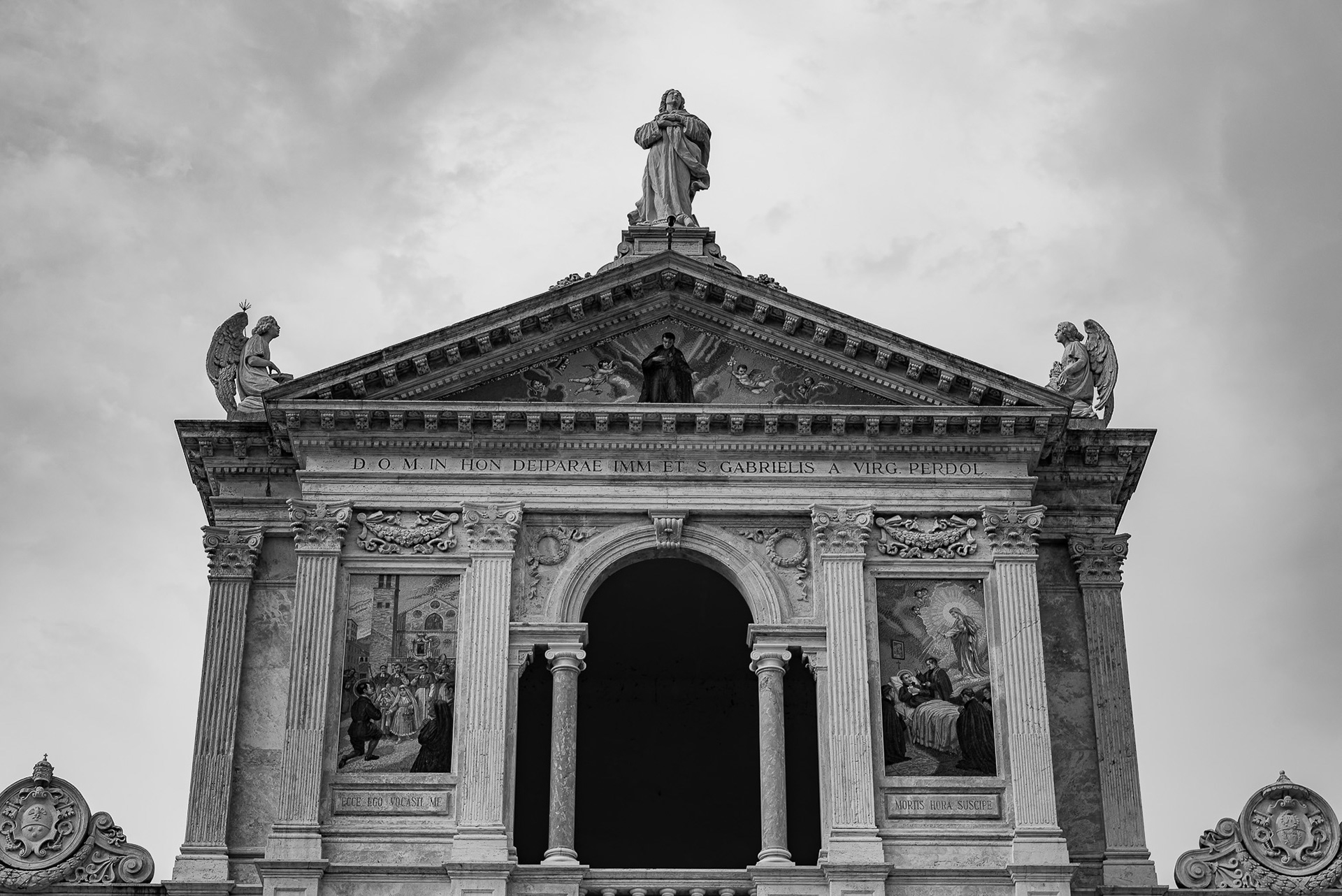
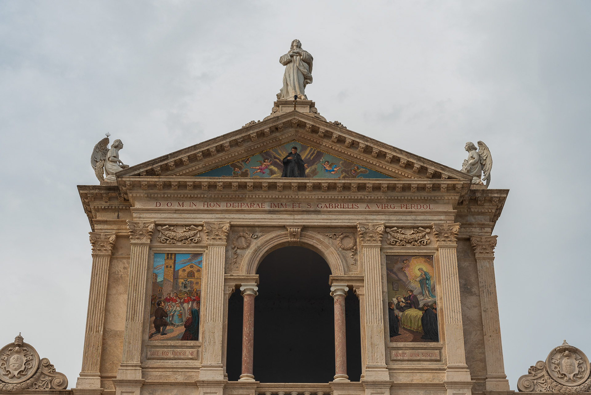
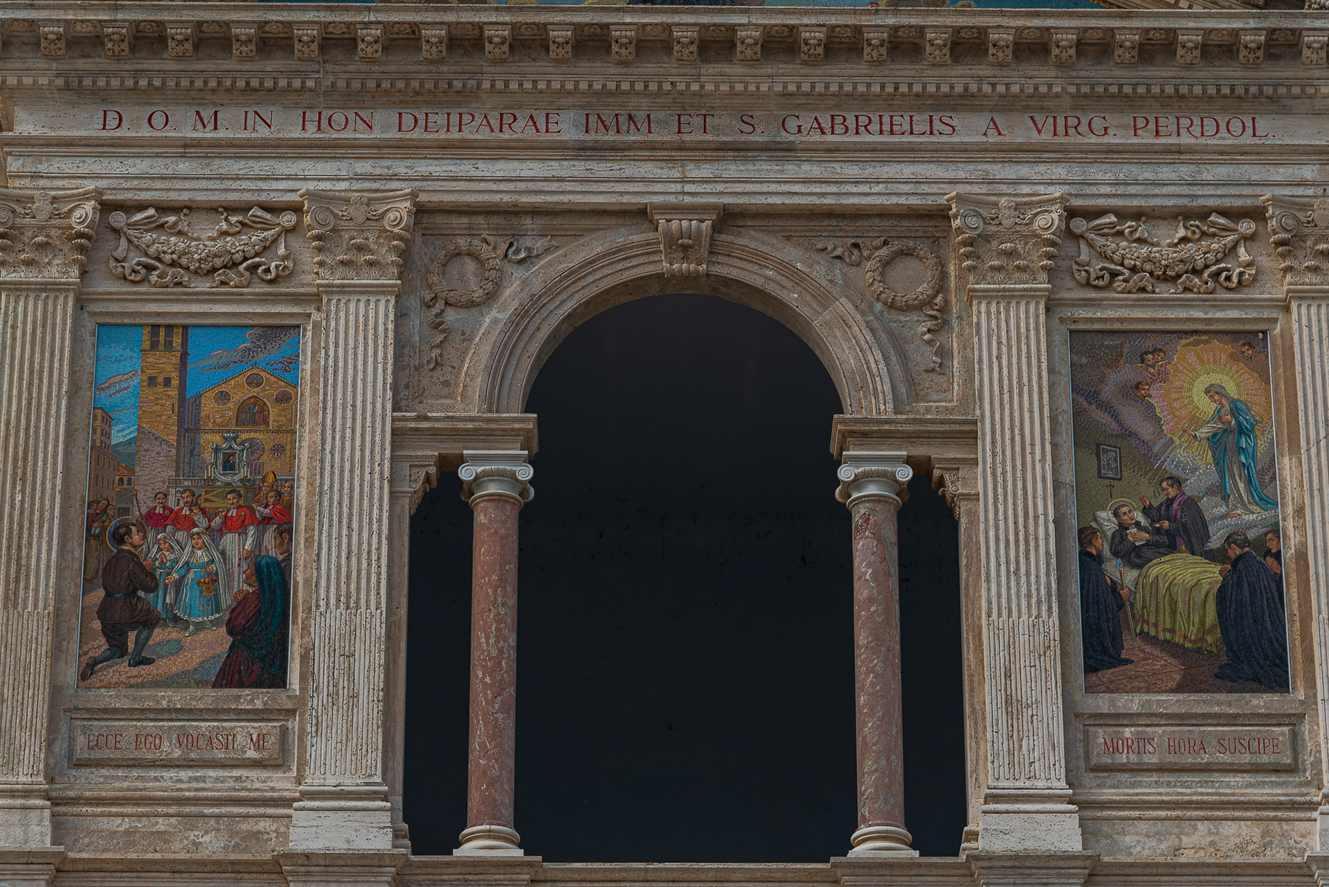
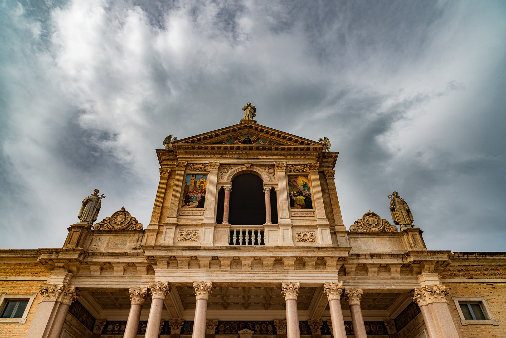
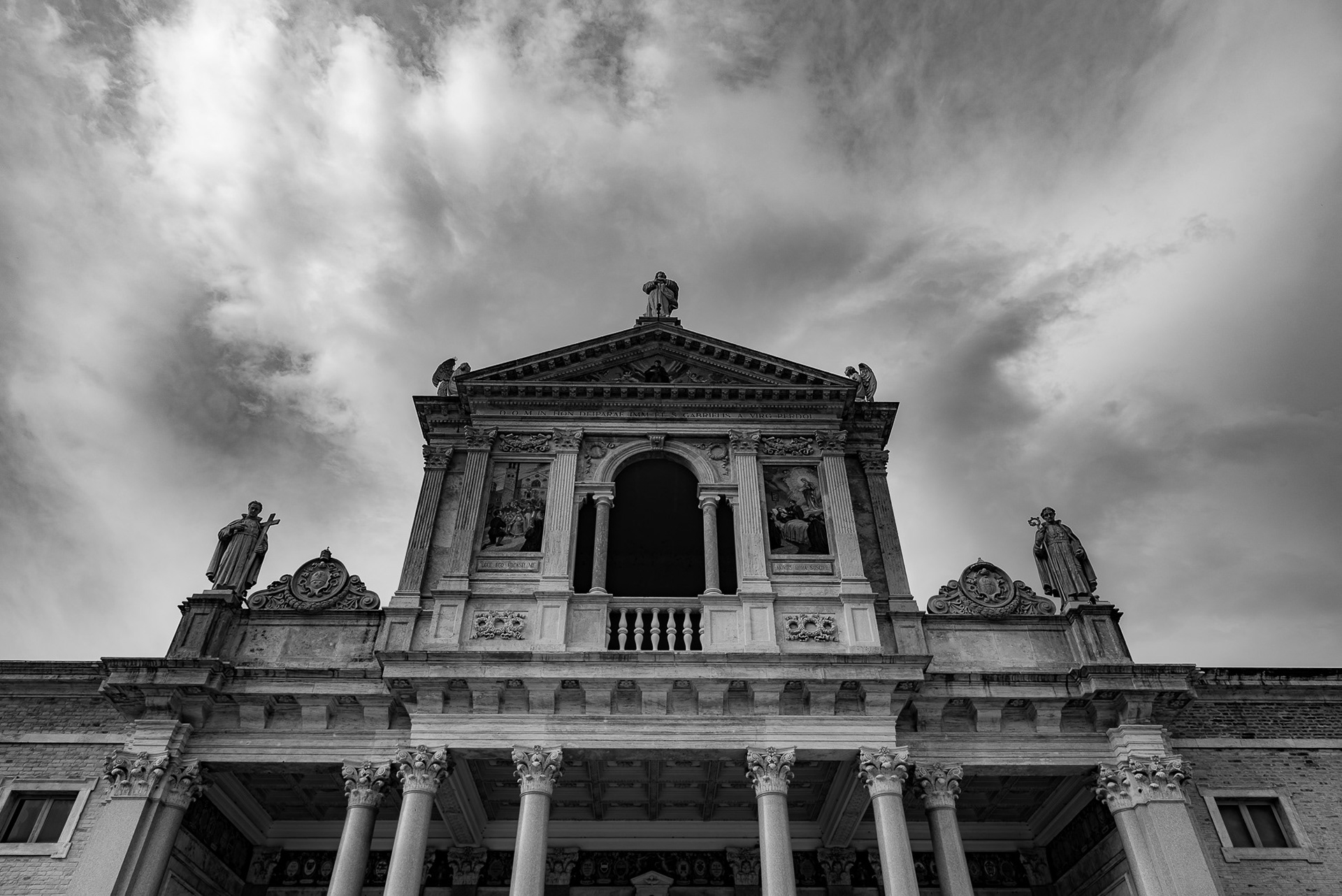
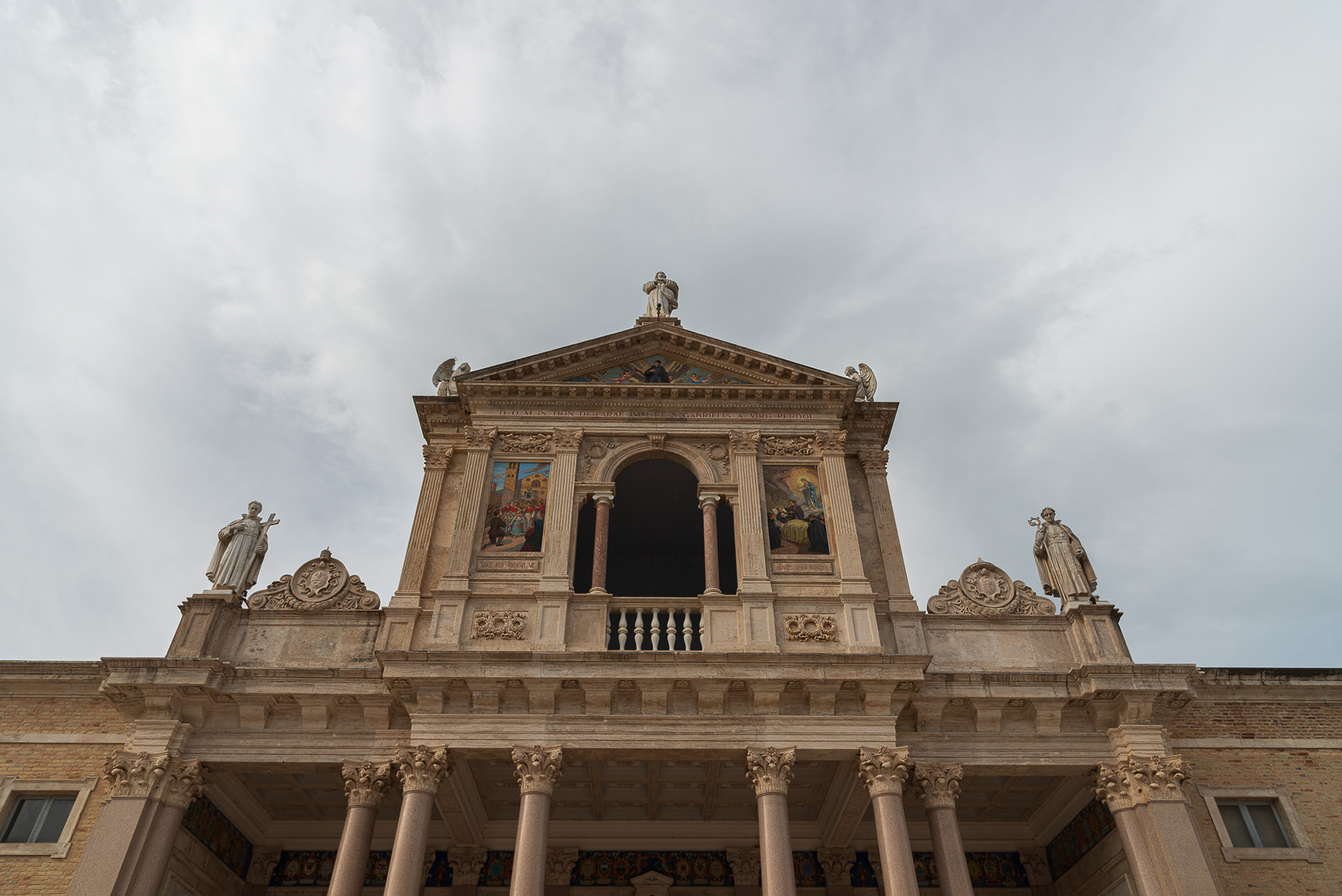
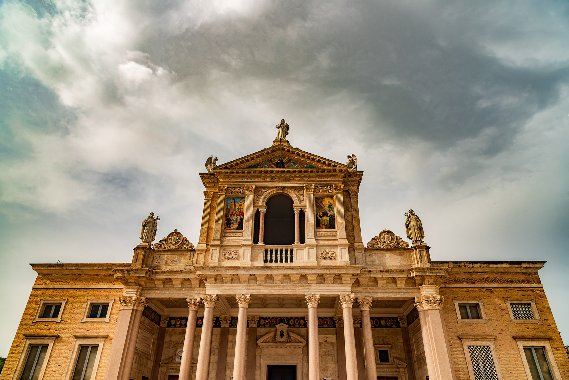
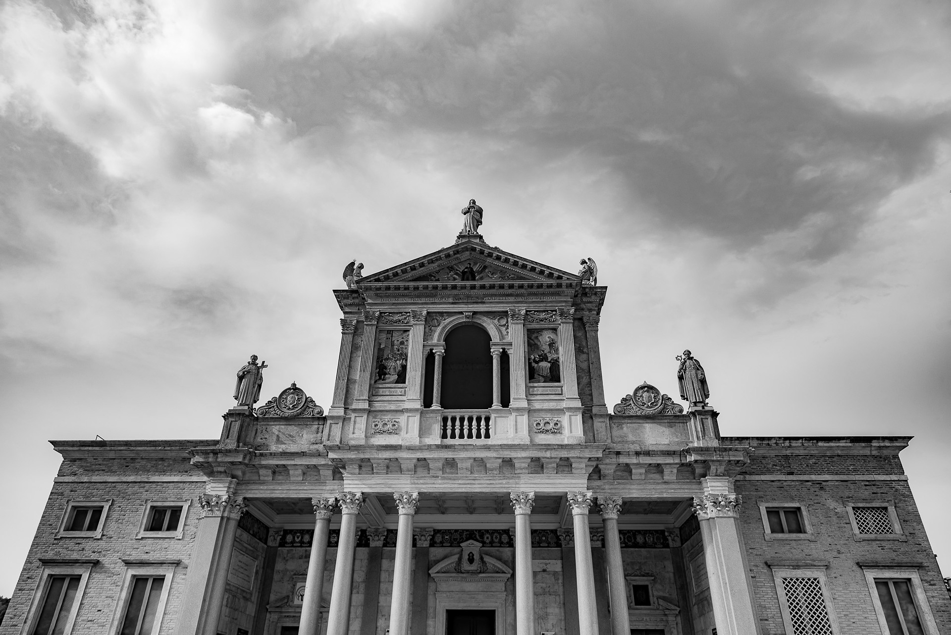
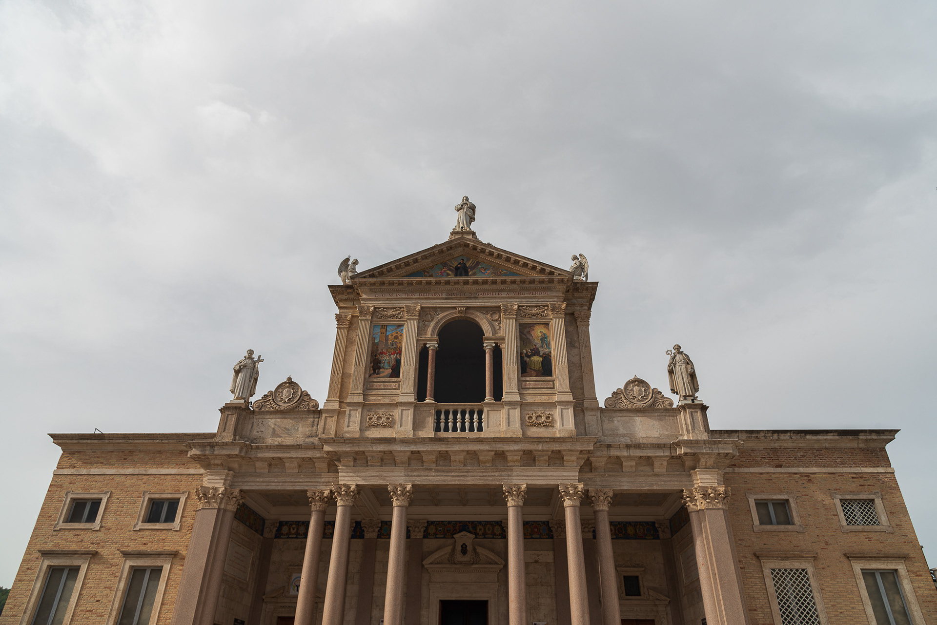
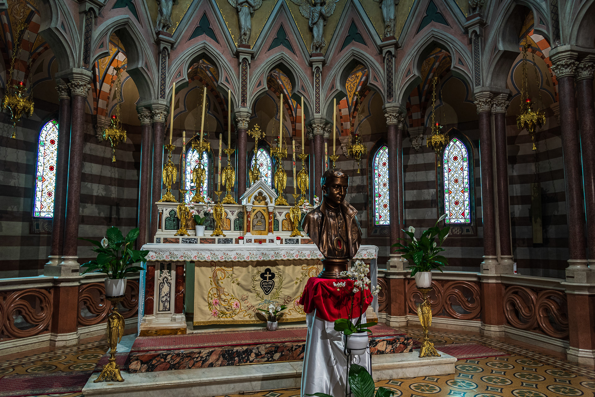
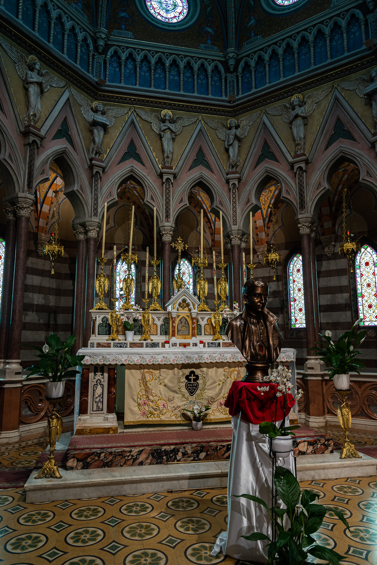
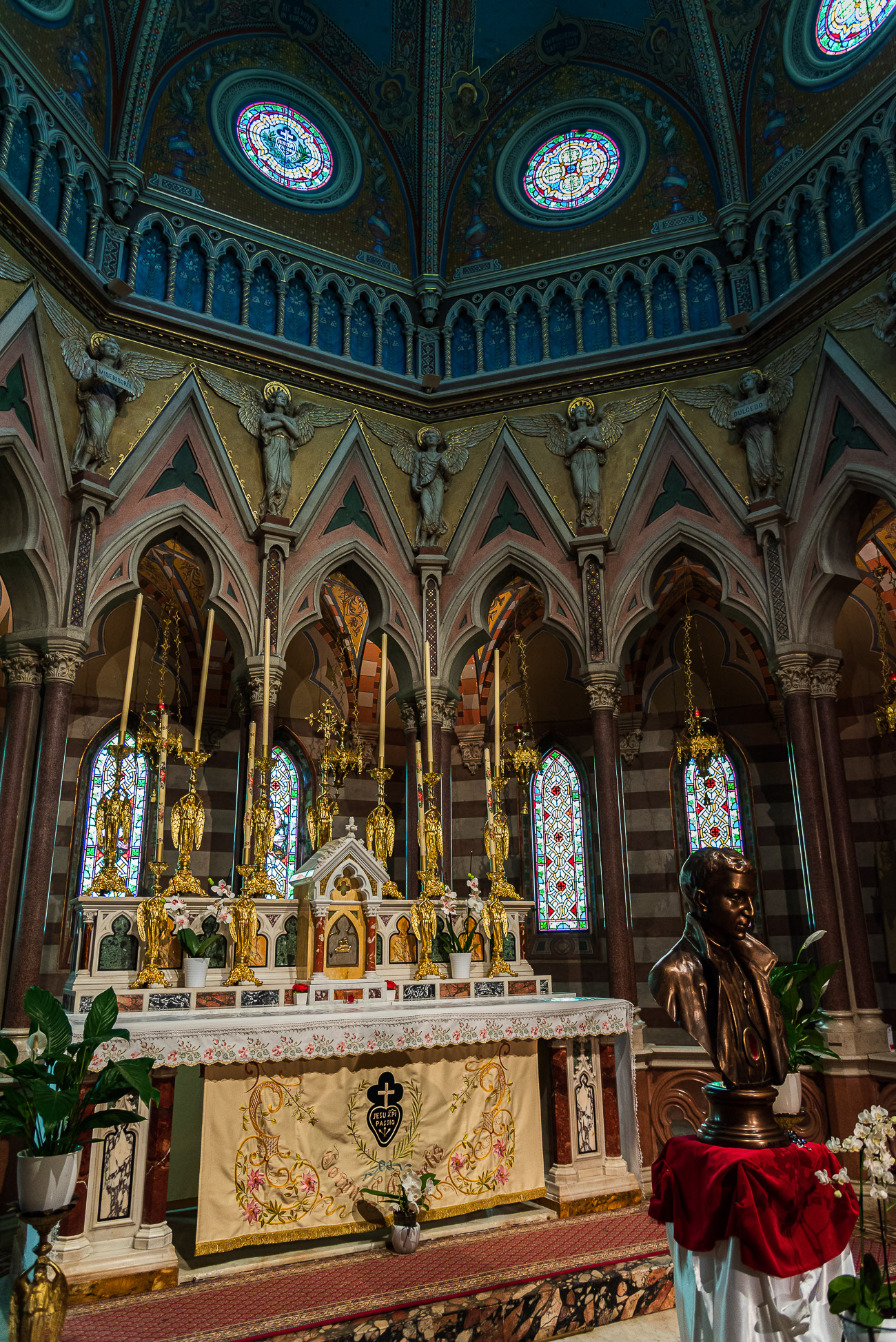
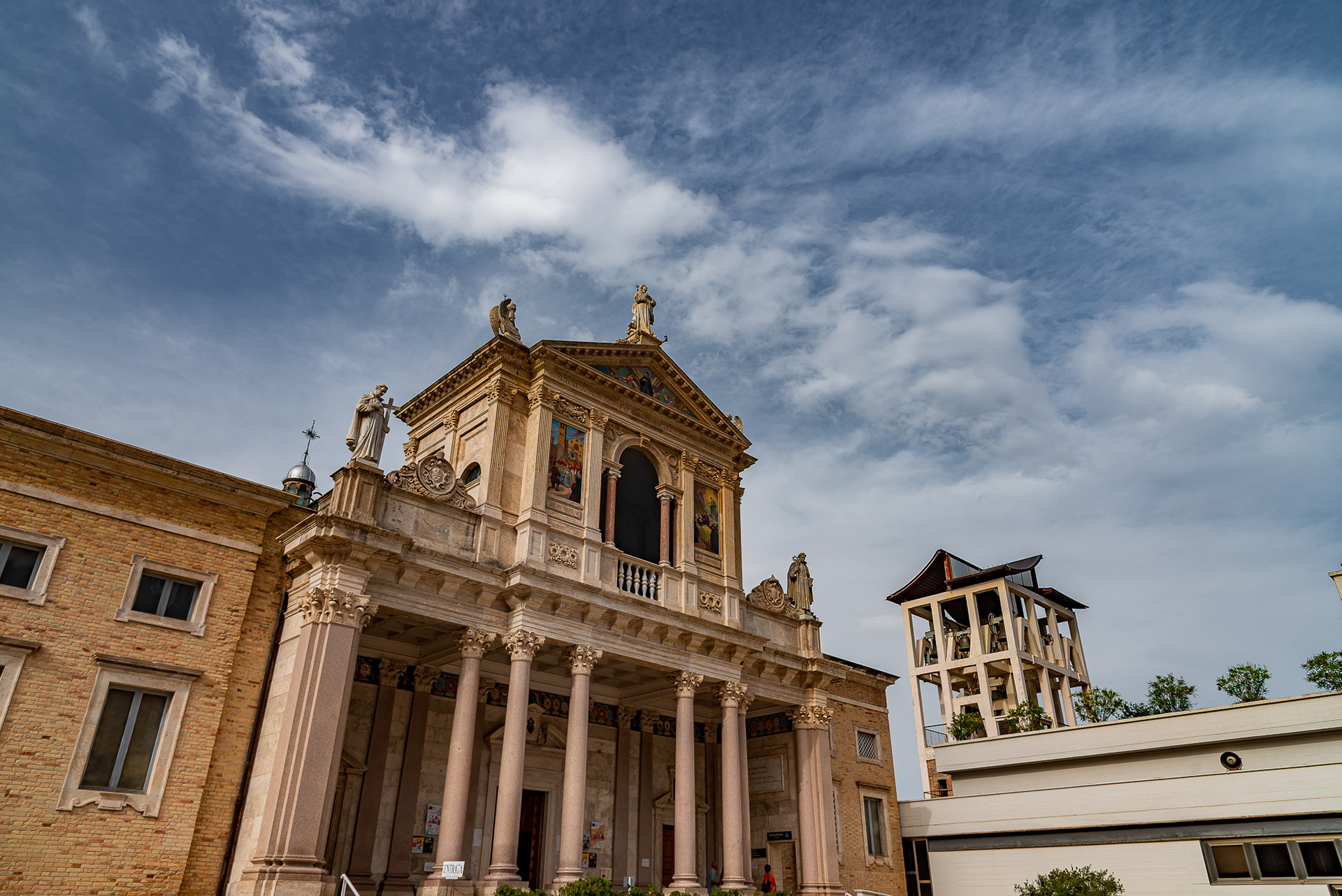
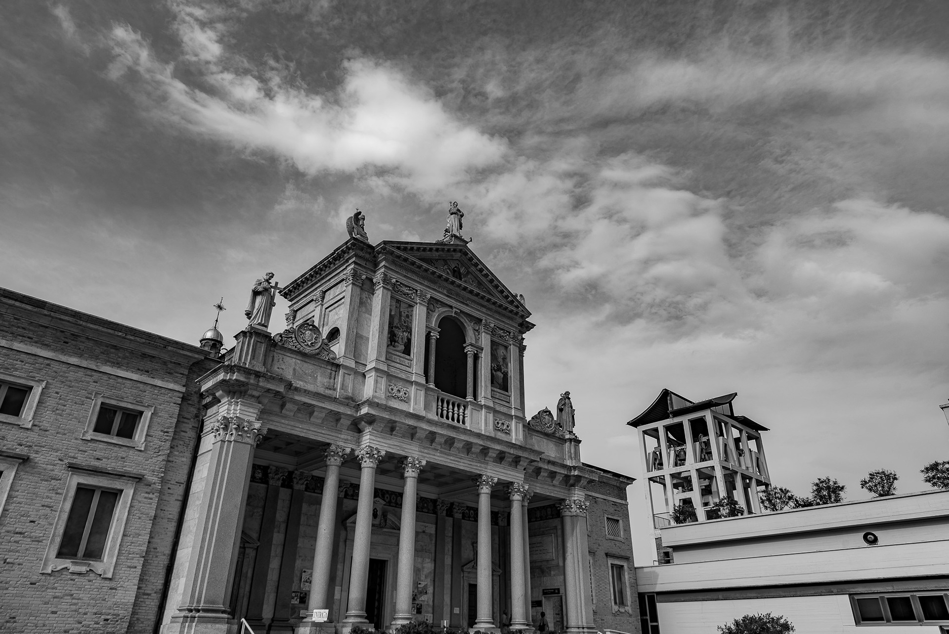
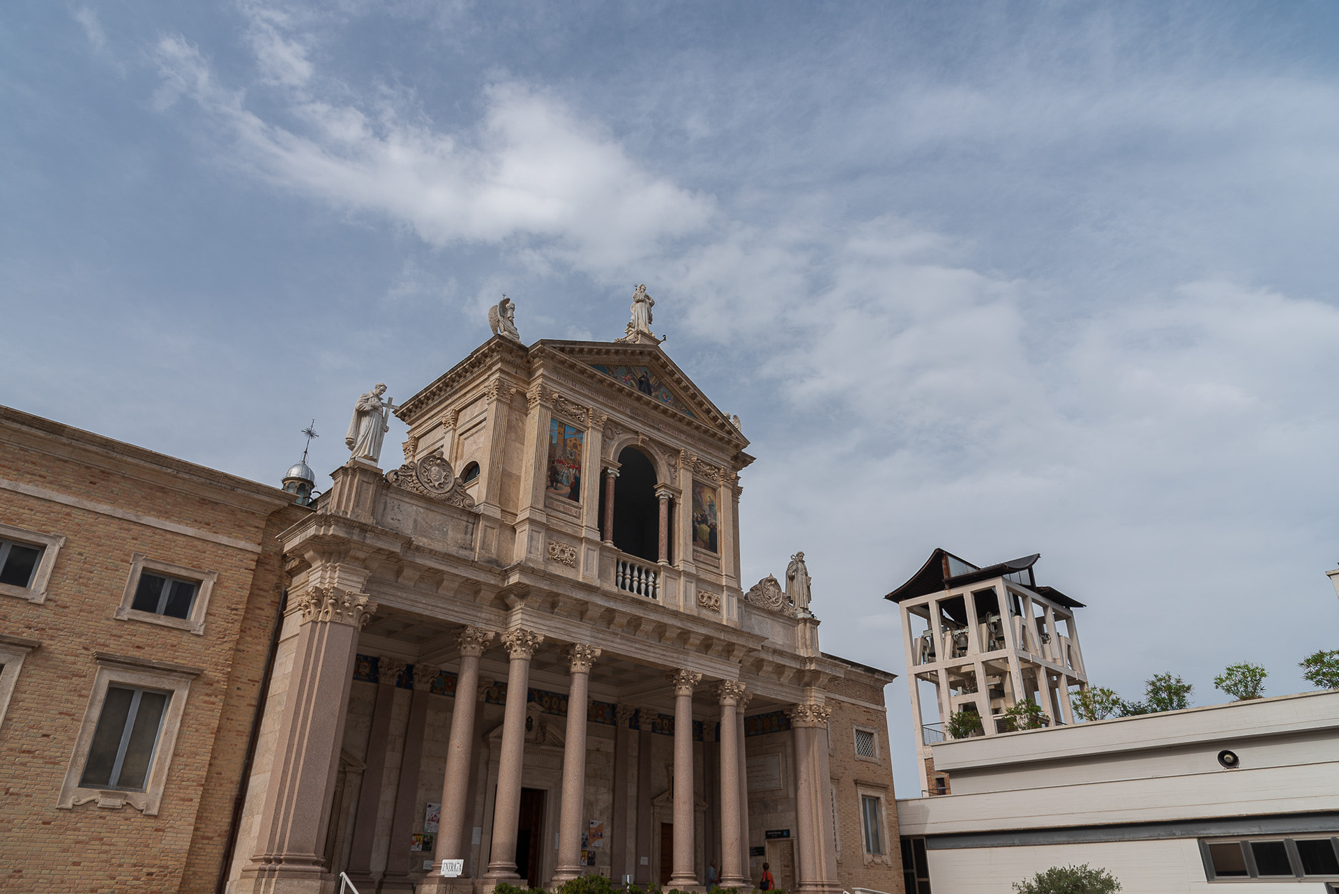
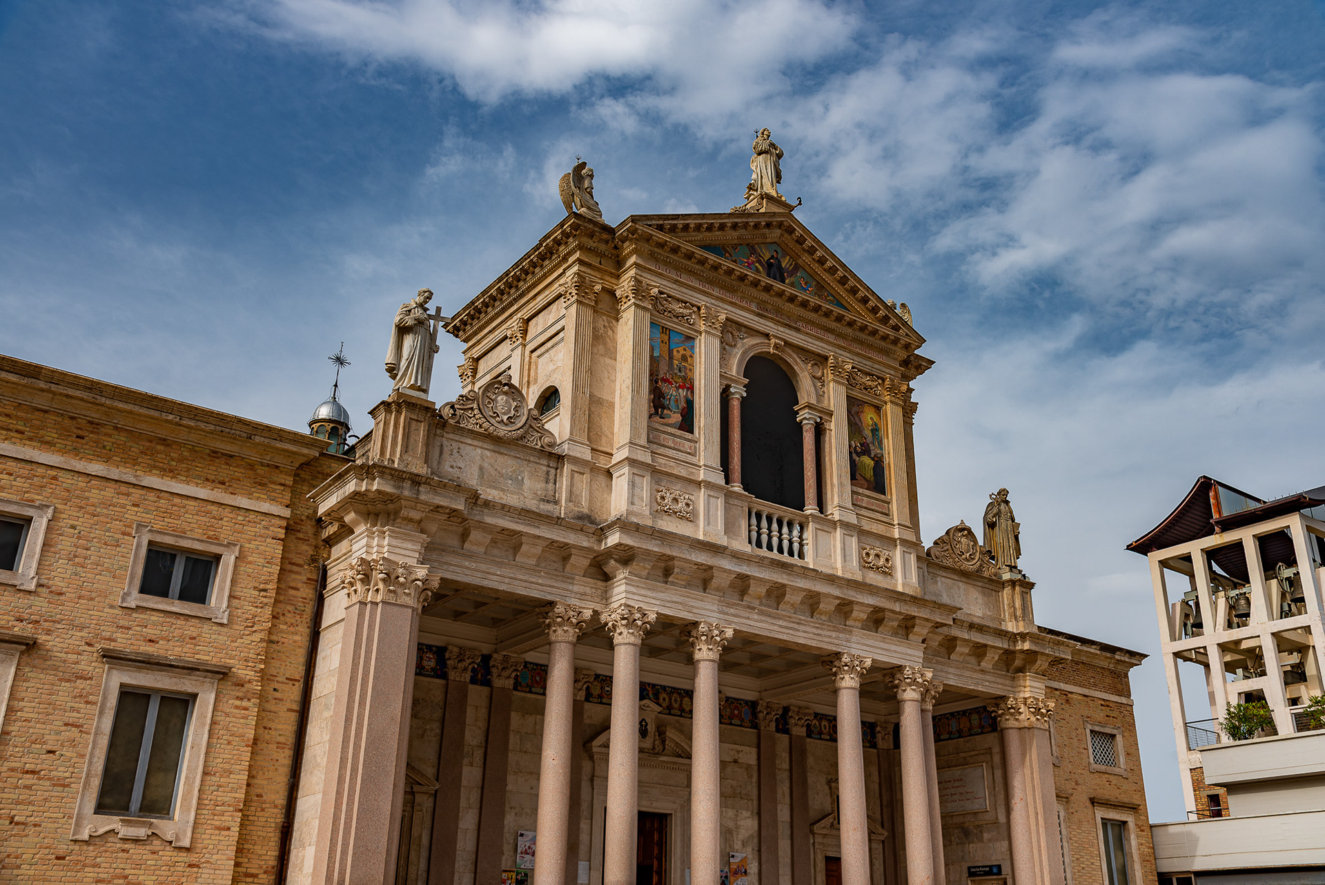
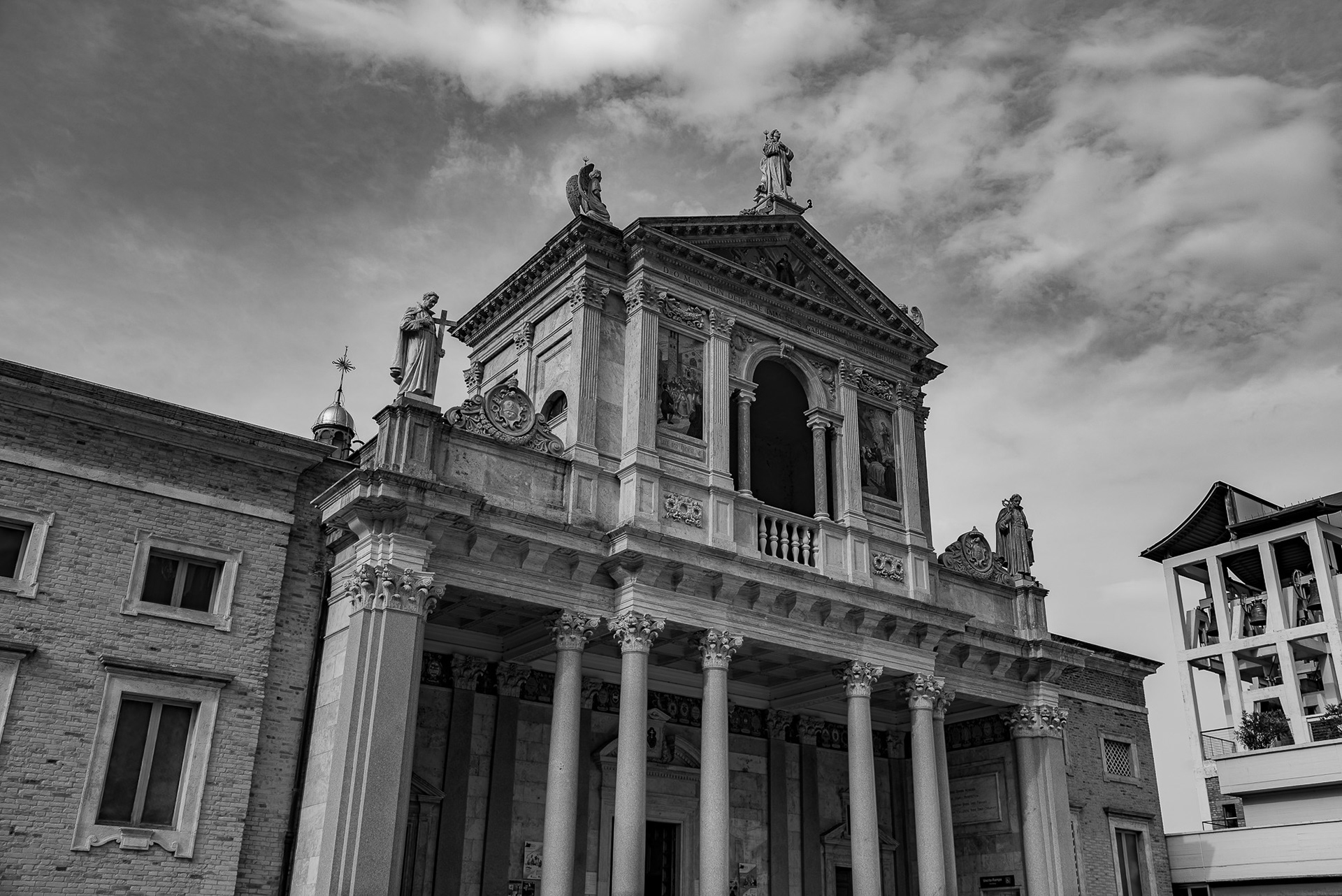
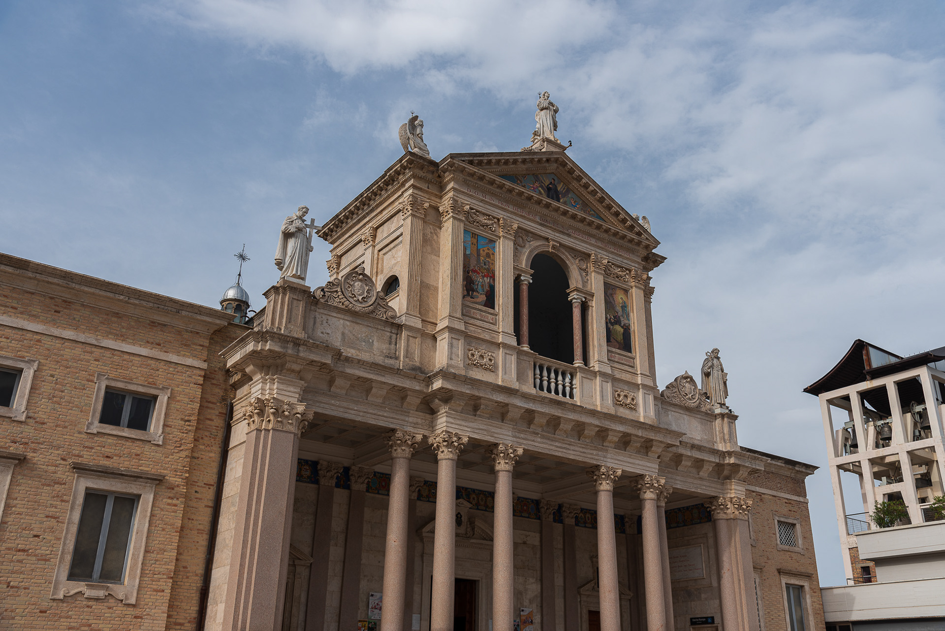
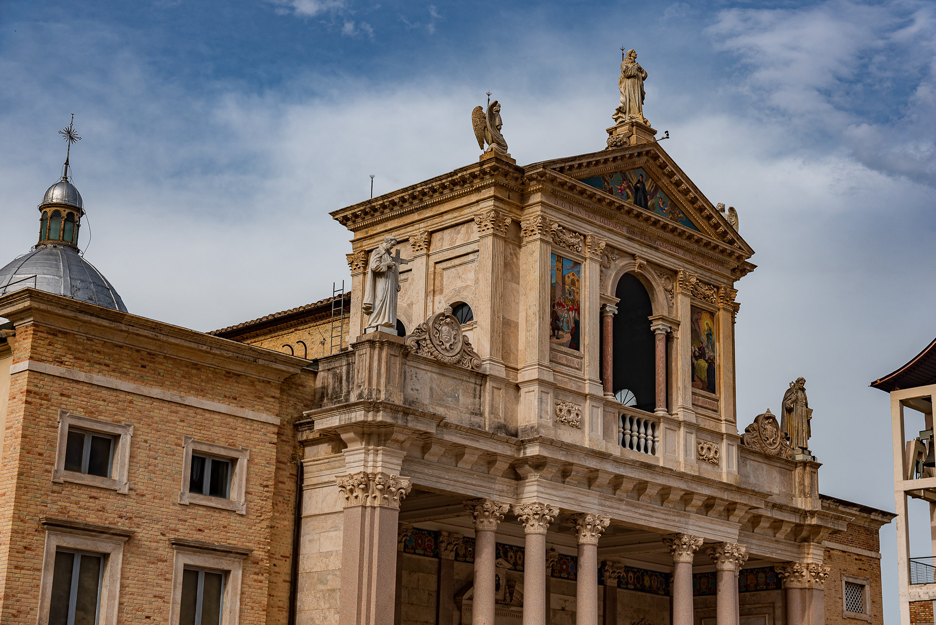
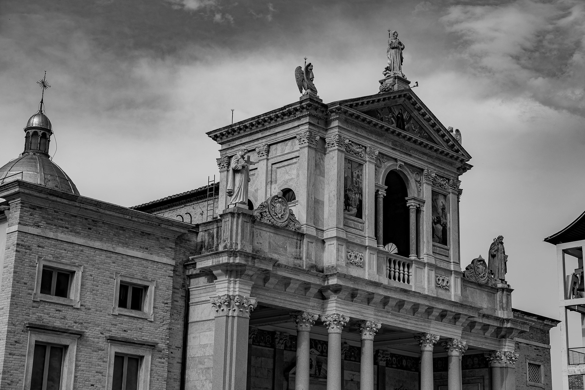
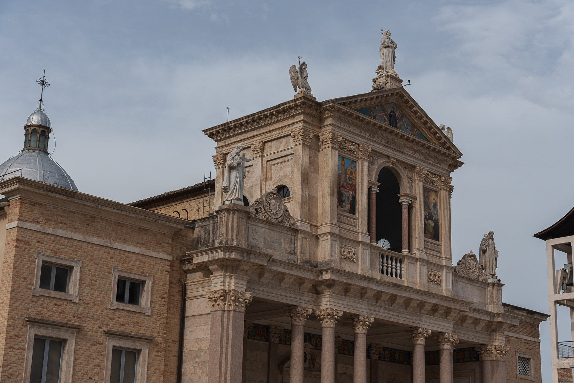
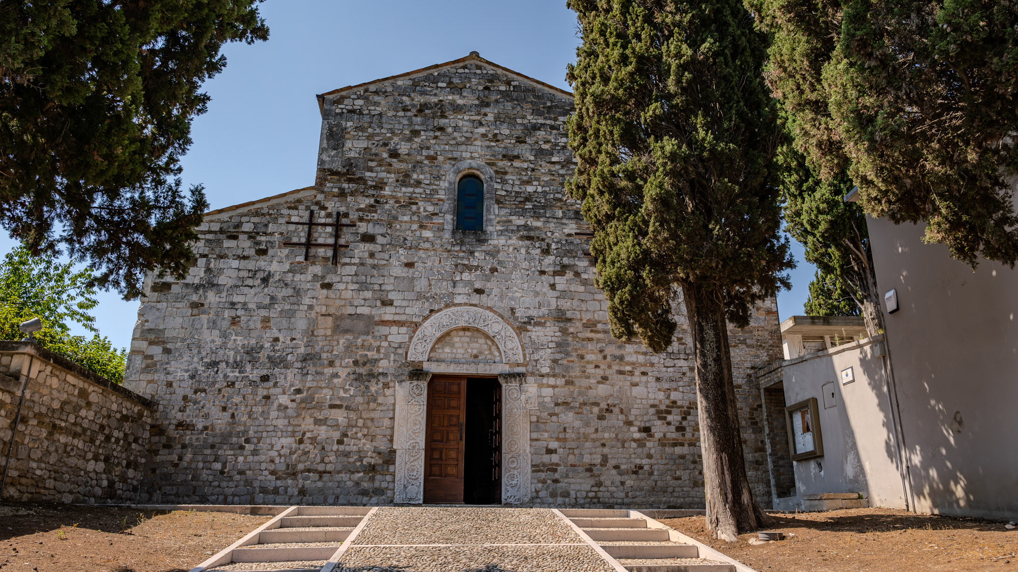
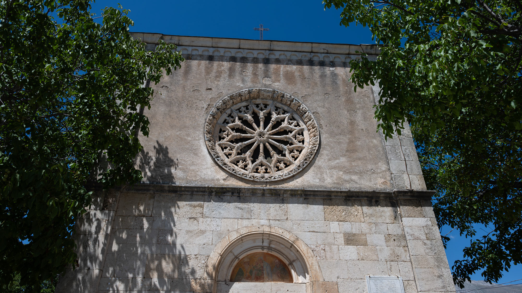
Sulmona. Church of San Filippo Neri
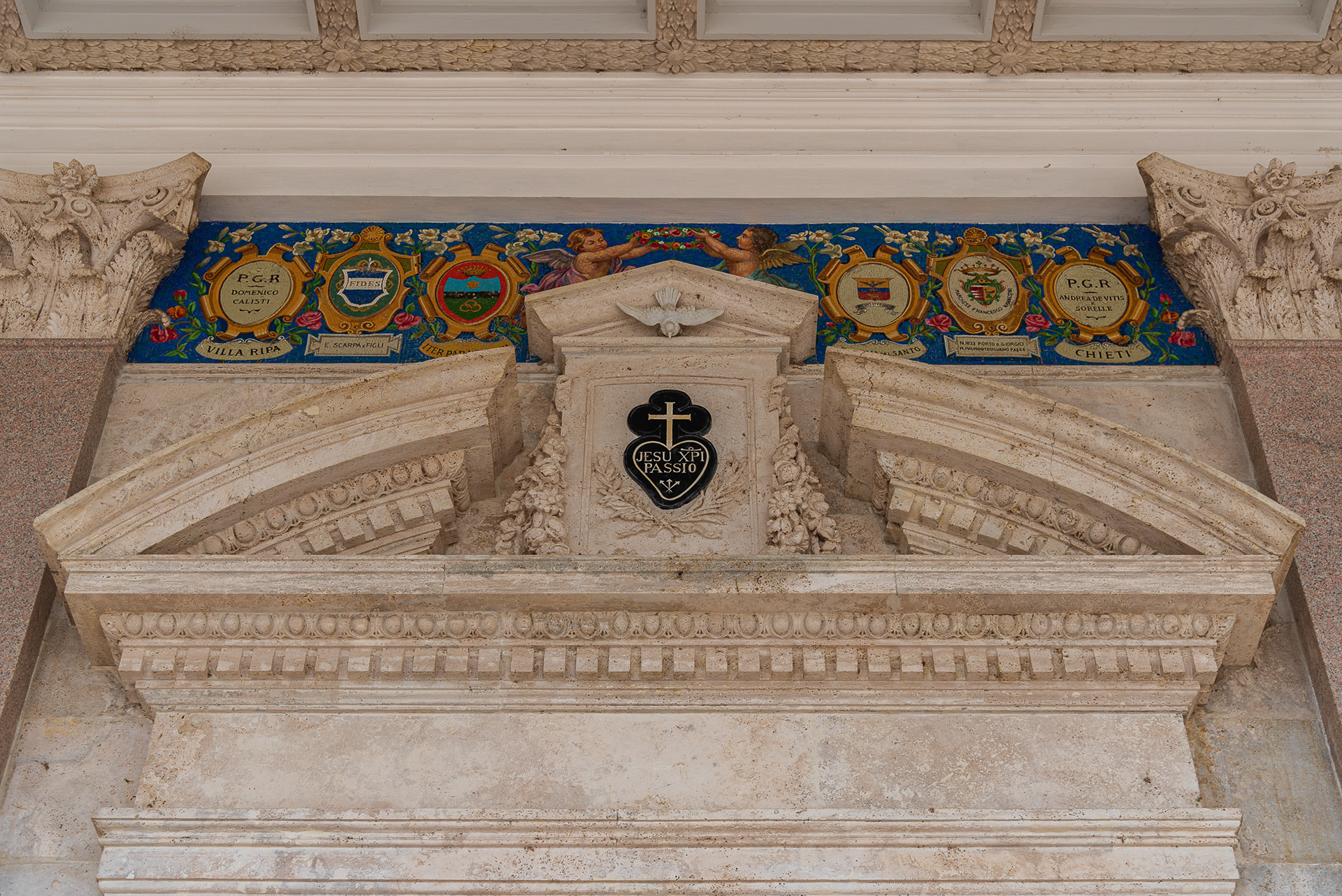
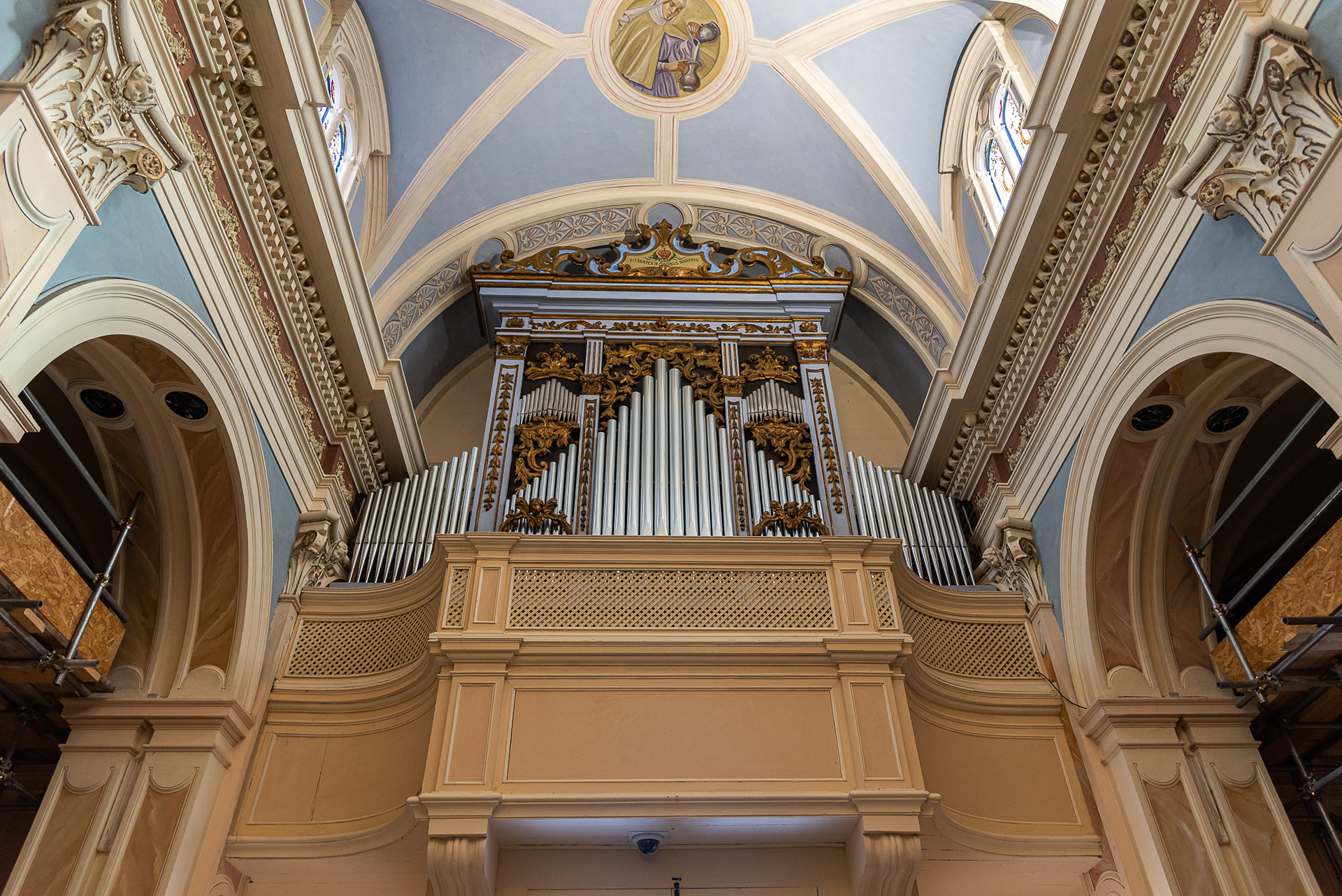
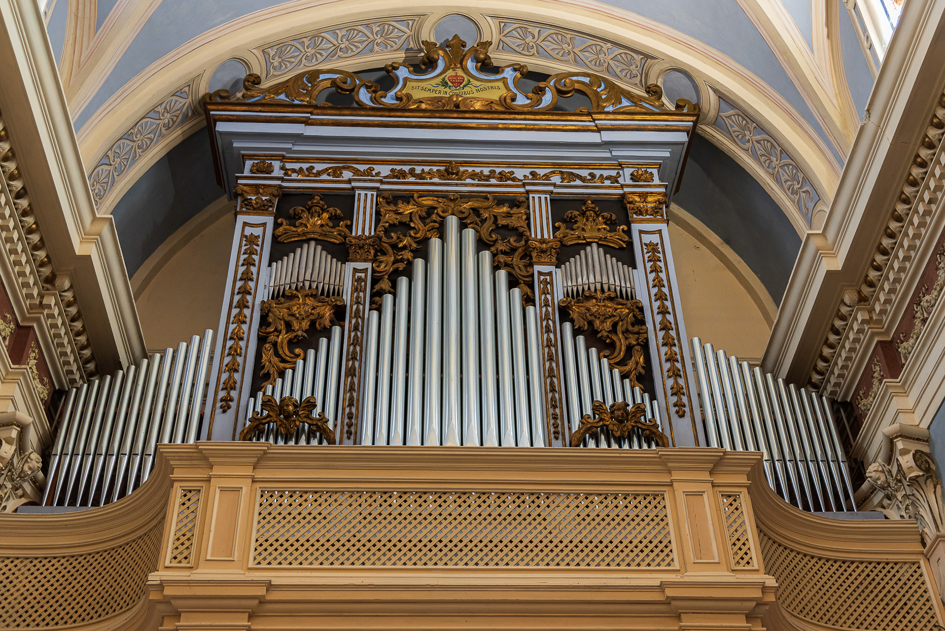
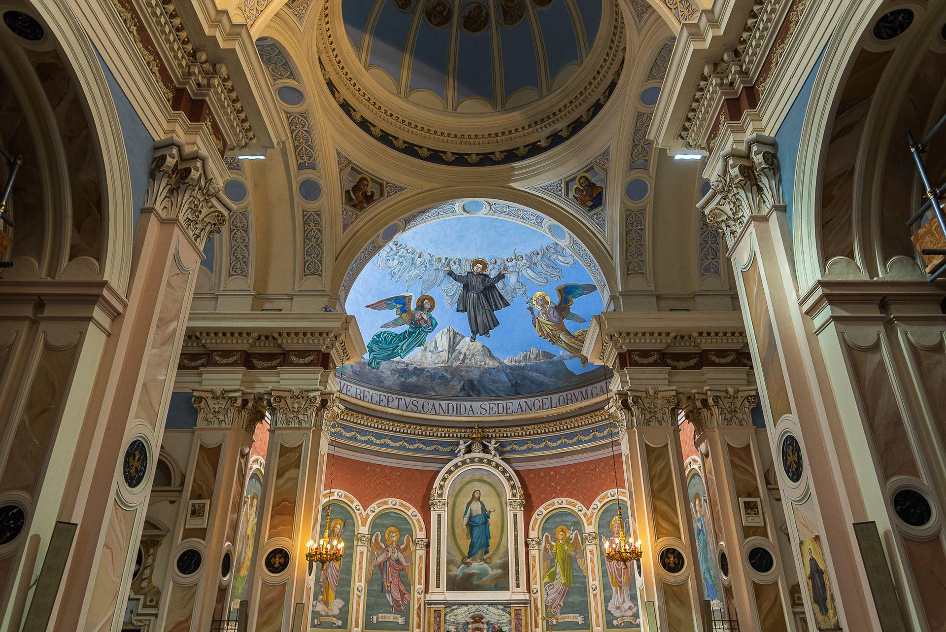
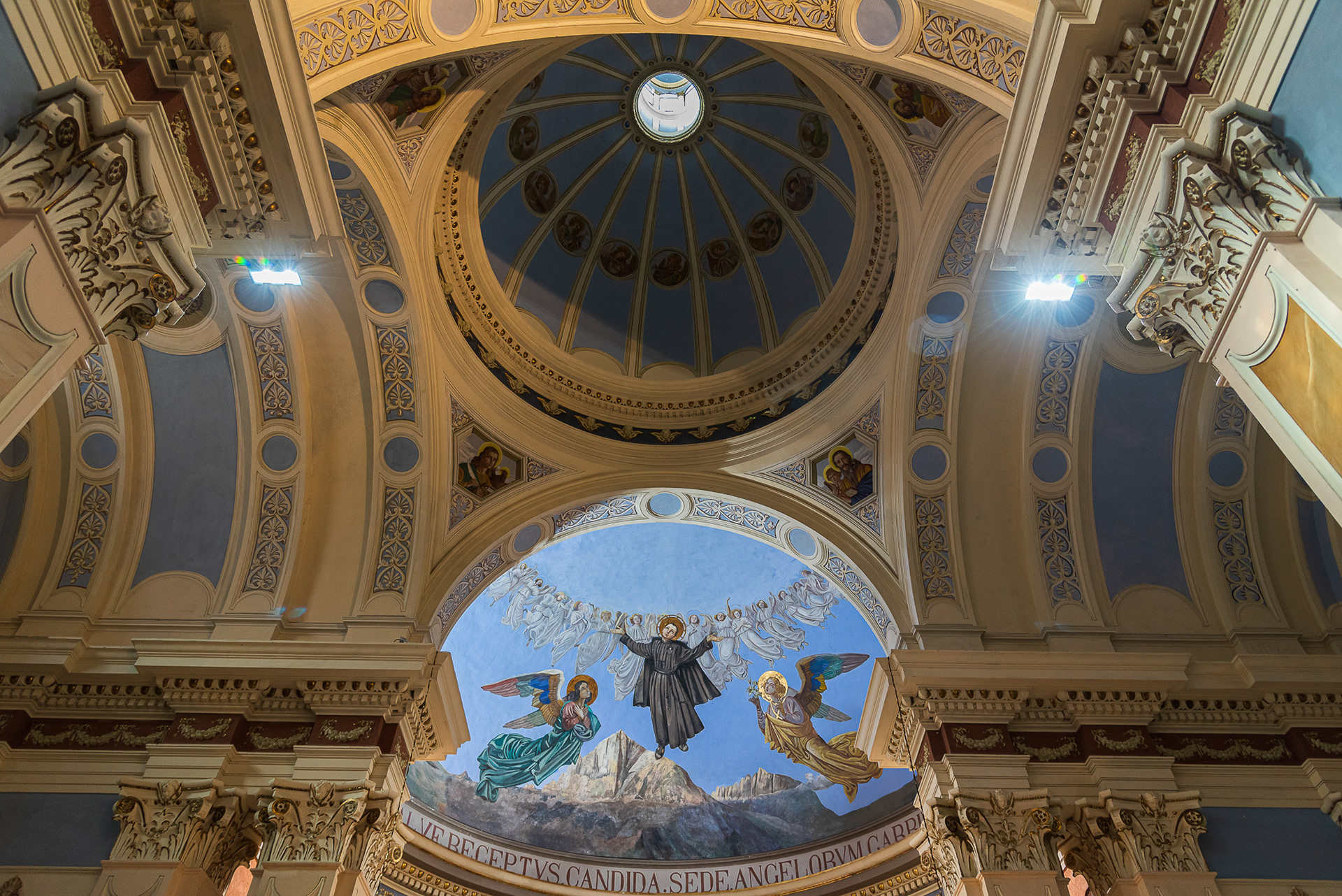
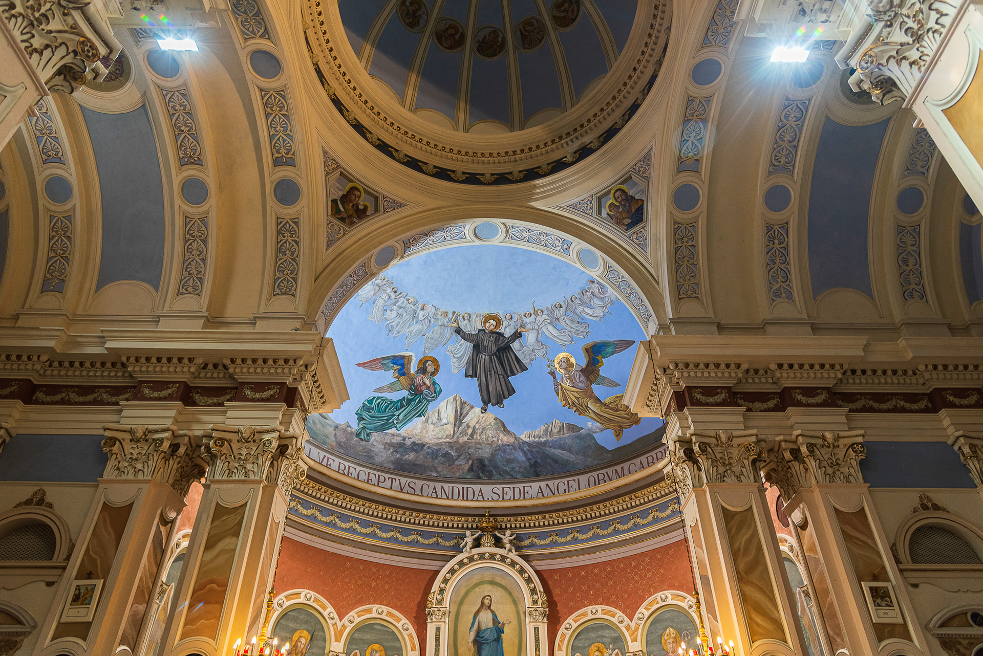
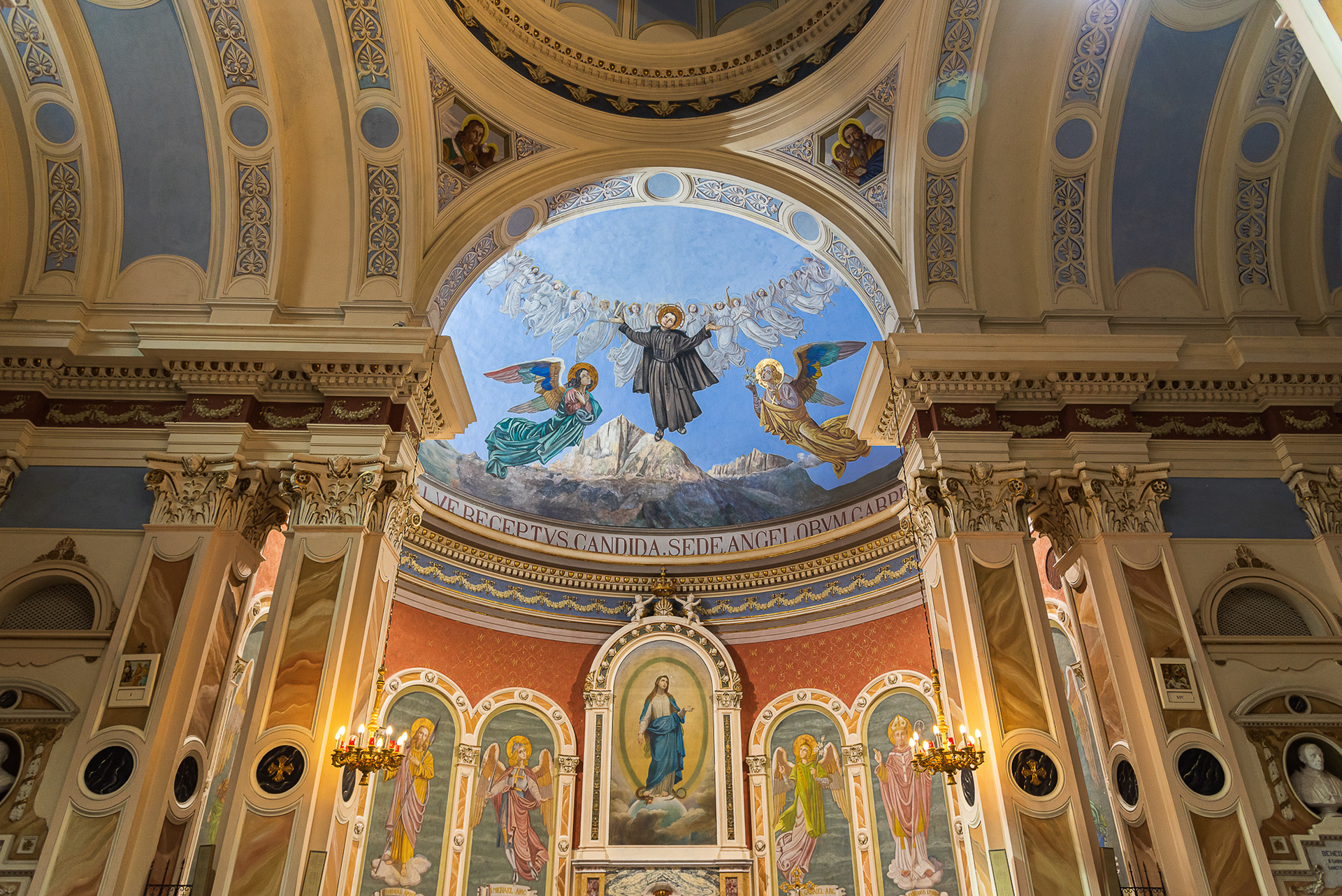
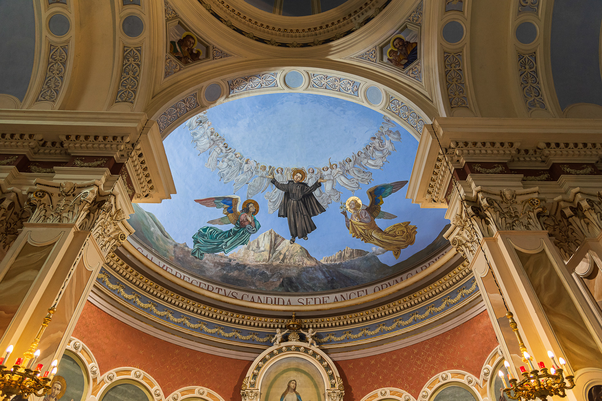
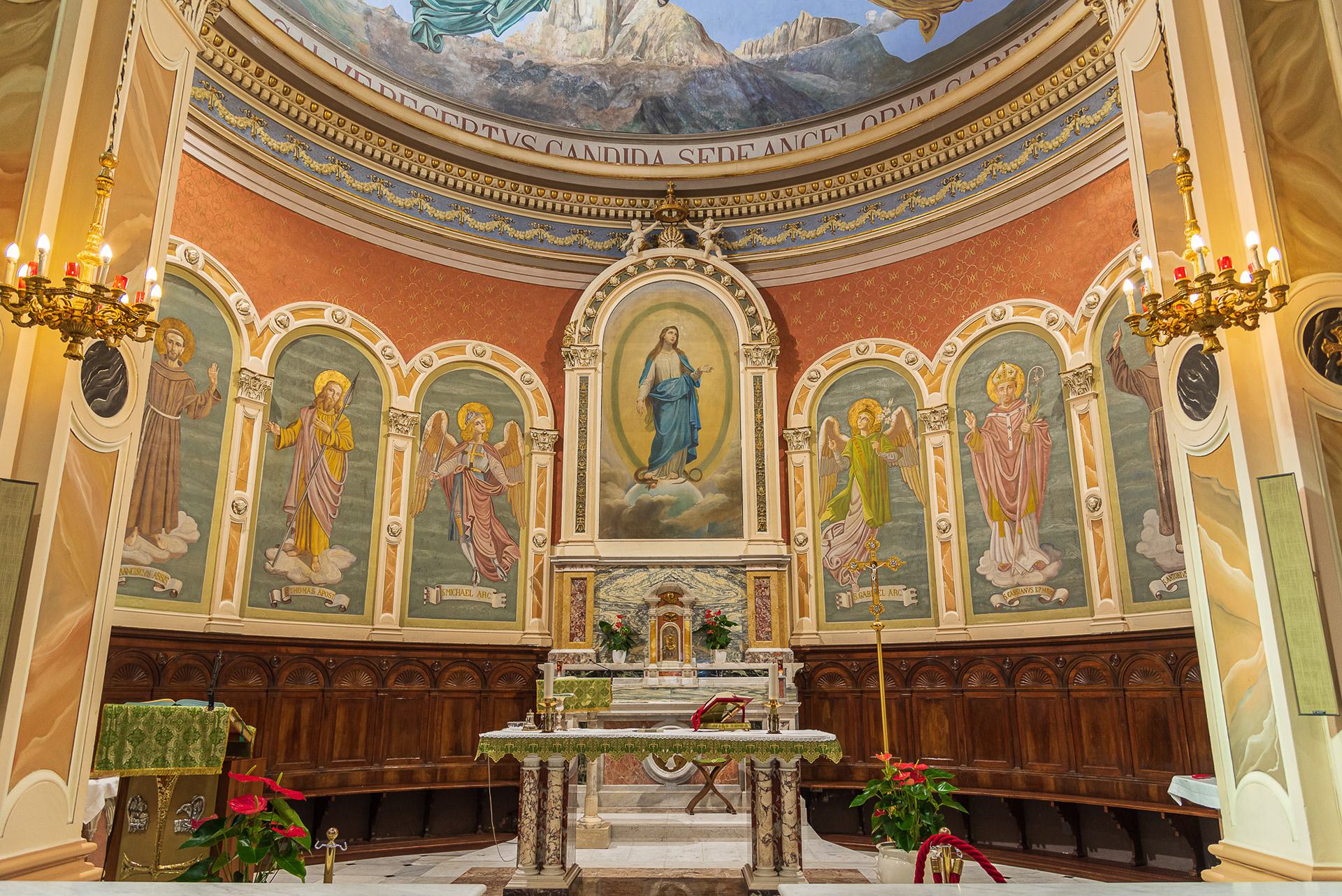
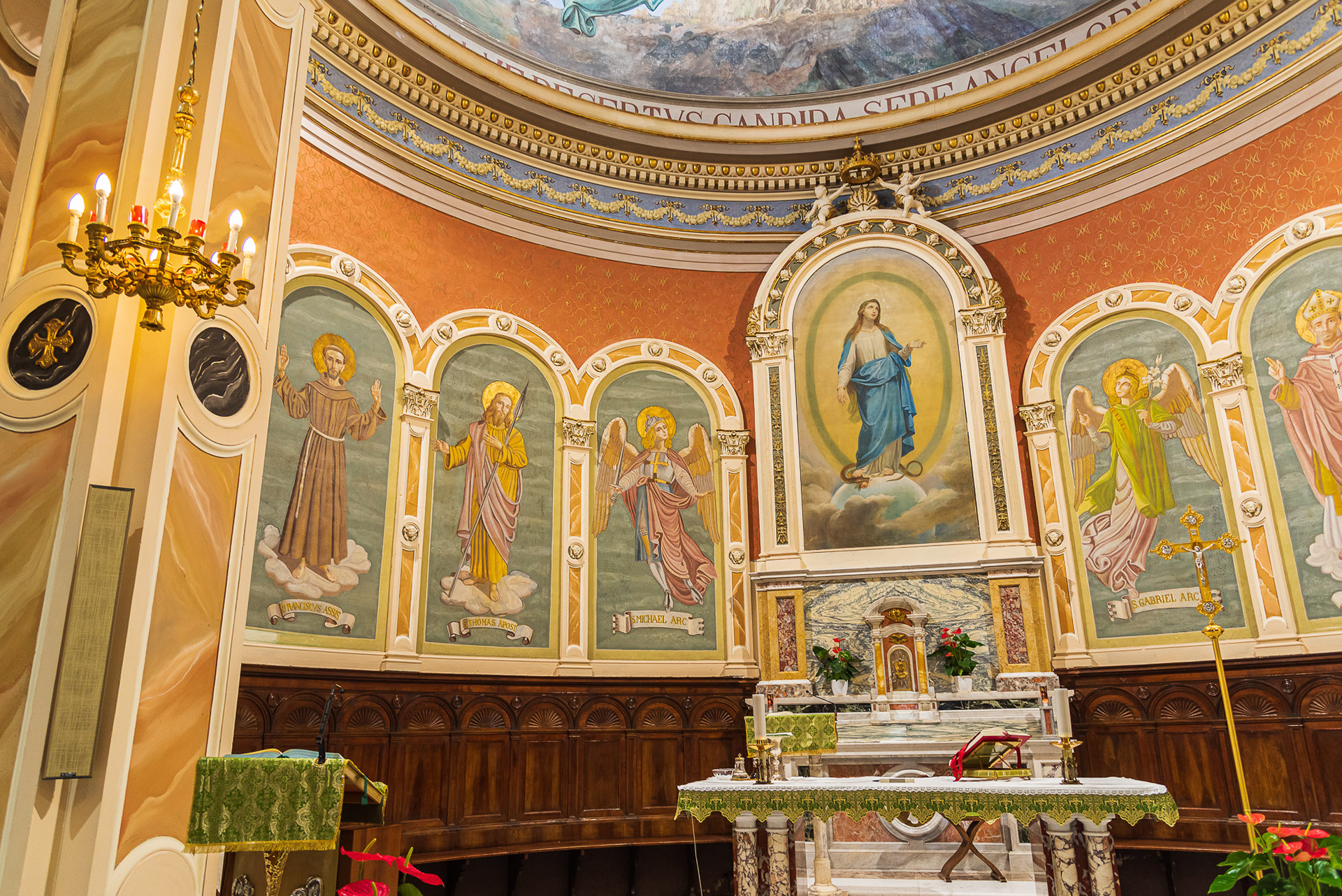
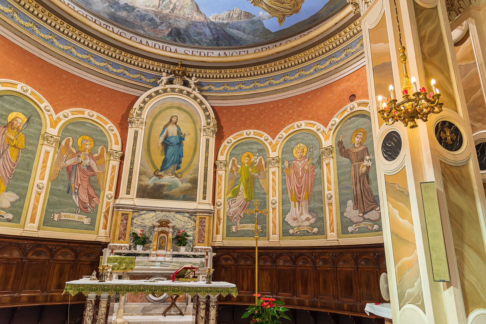
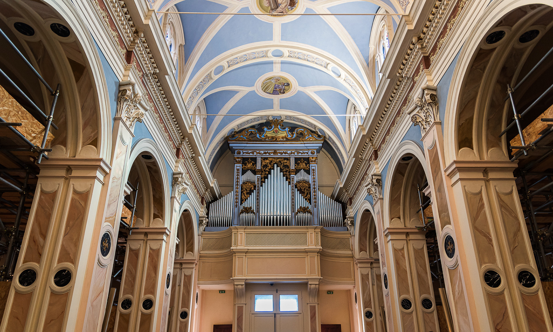
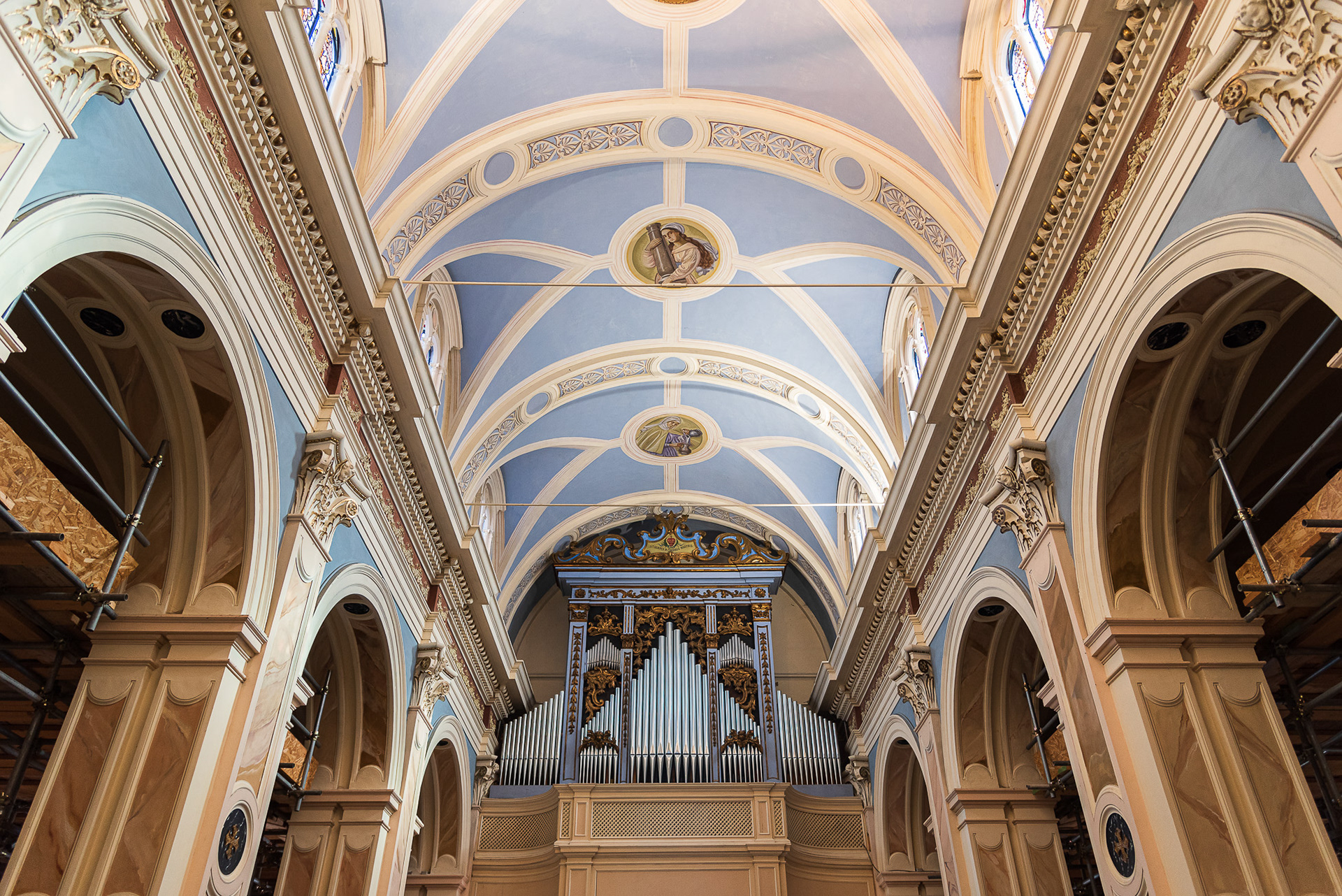
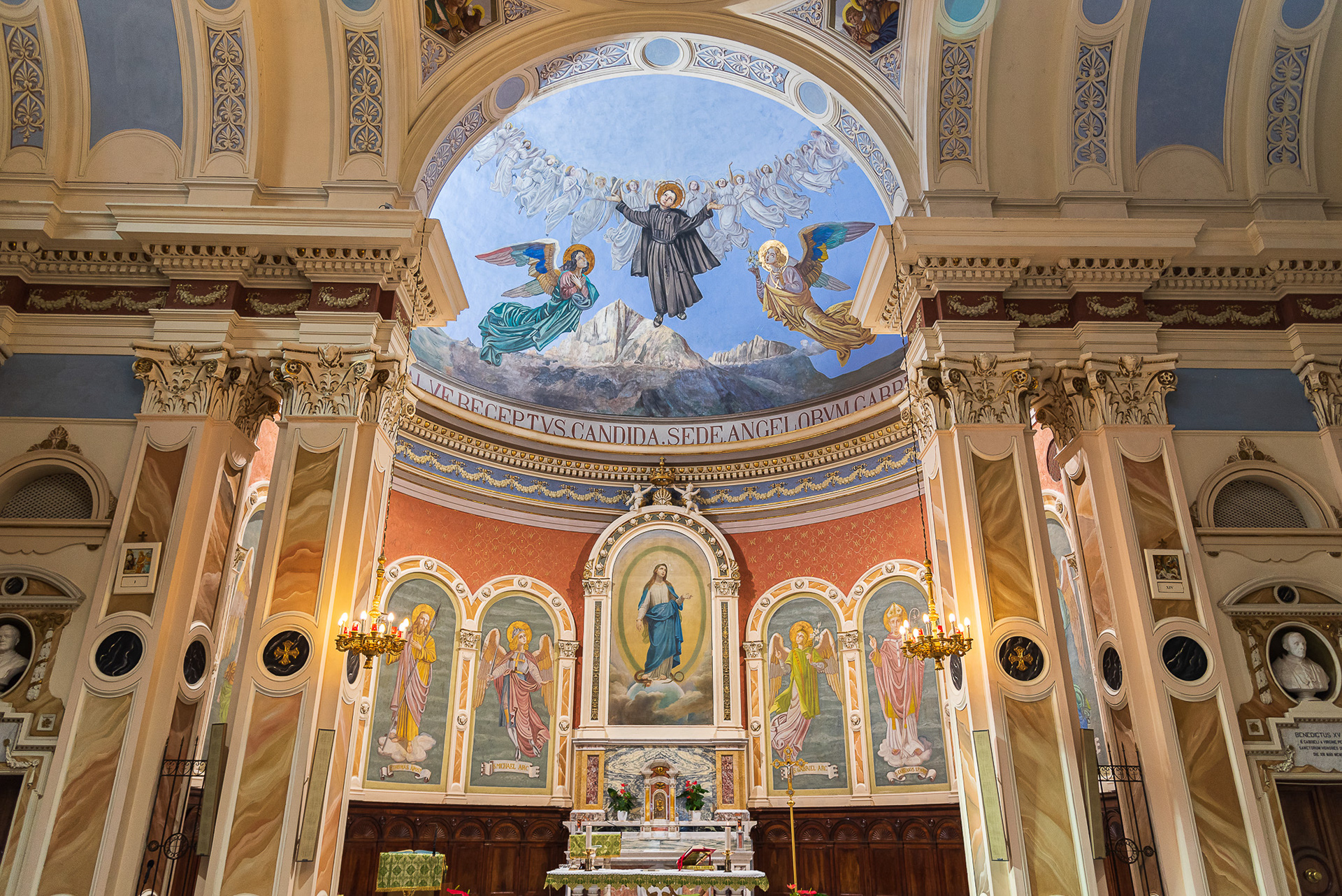
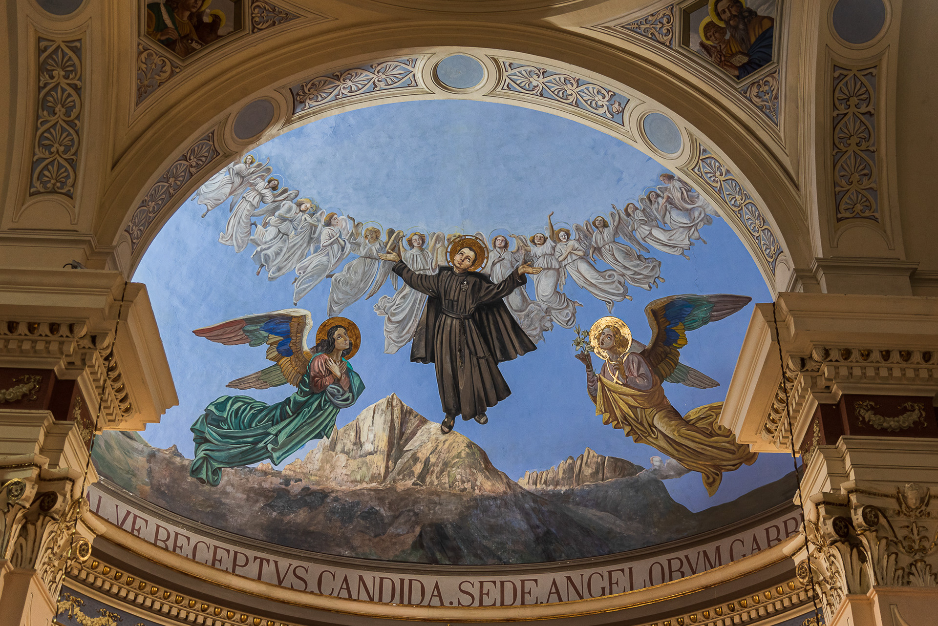
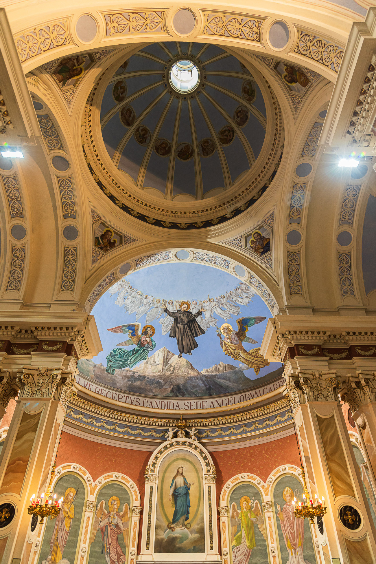
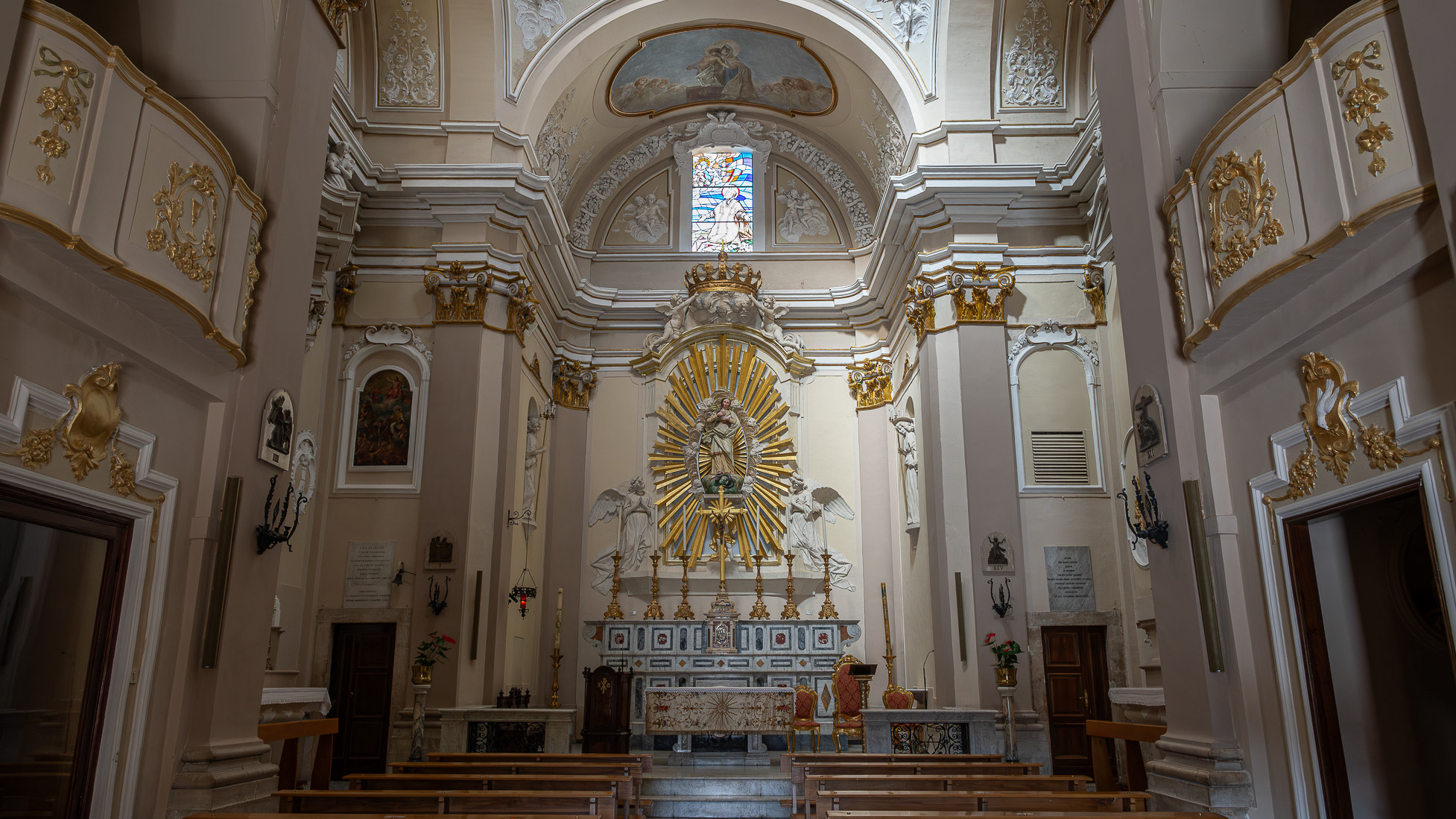
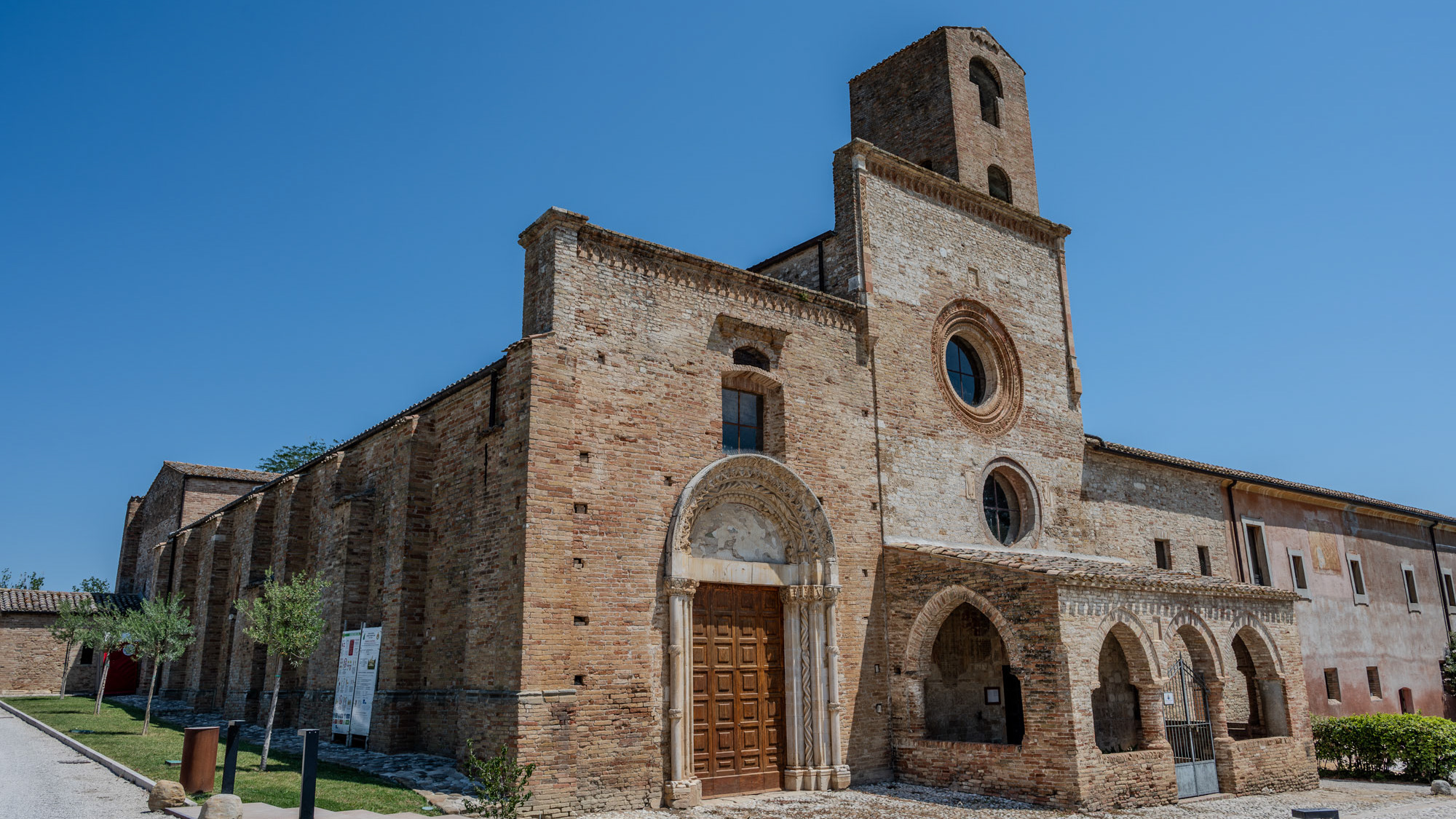
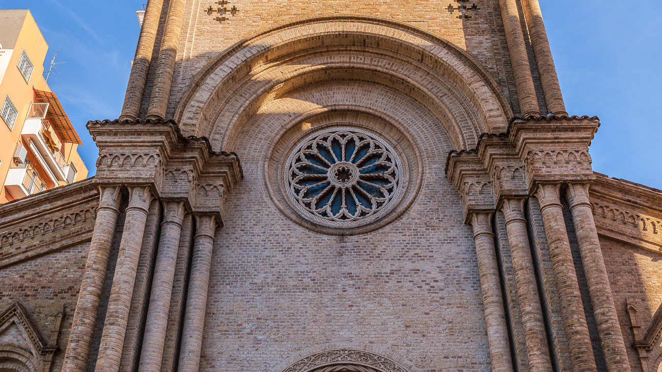
The construction of the church and oratory of San Filippo Neri began in the mid-17th century and was completed in 1677. However, in the beginning the congregation was based - together with that of the Jesuit Fathers - in the church of Sant'Ignazio , located in Piazza XX Settembre and no longer existing today; only later did it move to Piazza Maggiore - the current Piazza Garibaldi - within the lively and populous Borgo Pacentrano. The earthquake of 1706 forced a reconstruction of the complex, which Baron Giambattista Mazara magnanimously took charge of between 1785 and 1794, deserving the commemorative plaque placed on the right wall of the church; the adjoining convent had to assume considerable decorum, so much so that in 1796 it was even able to host King Ferdinand IV of Bourbon on a visit to the city. In 1799, with the suppression of the Filipino order, the Fathers left the city and the sacred building, abandoned and reduced to profane use, was transformed into an oven and also used for military purposes. Likewise, the oratory, confiscated by the Royal Property, had various uses and today is the headquarters of the Command of the Guardia di Finanza. Only in 1920 did the church regain its religious use, becoming the seat of the parish of Sant'Agata. From here the traditional demonstration of the Madonna fleeing into the square begins on Easter morning, the joyful conclusion of Holy Week in Sulmona.