2023
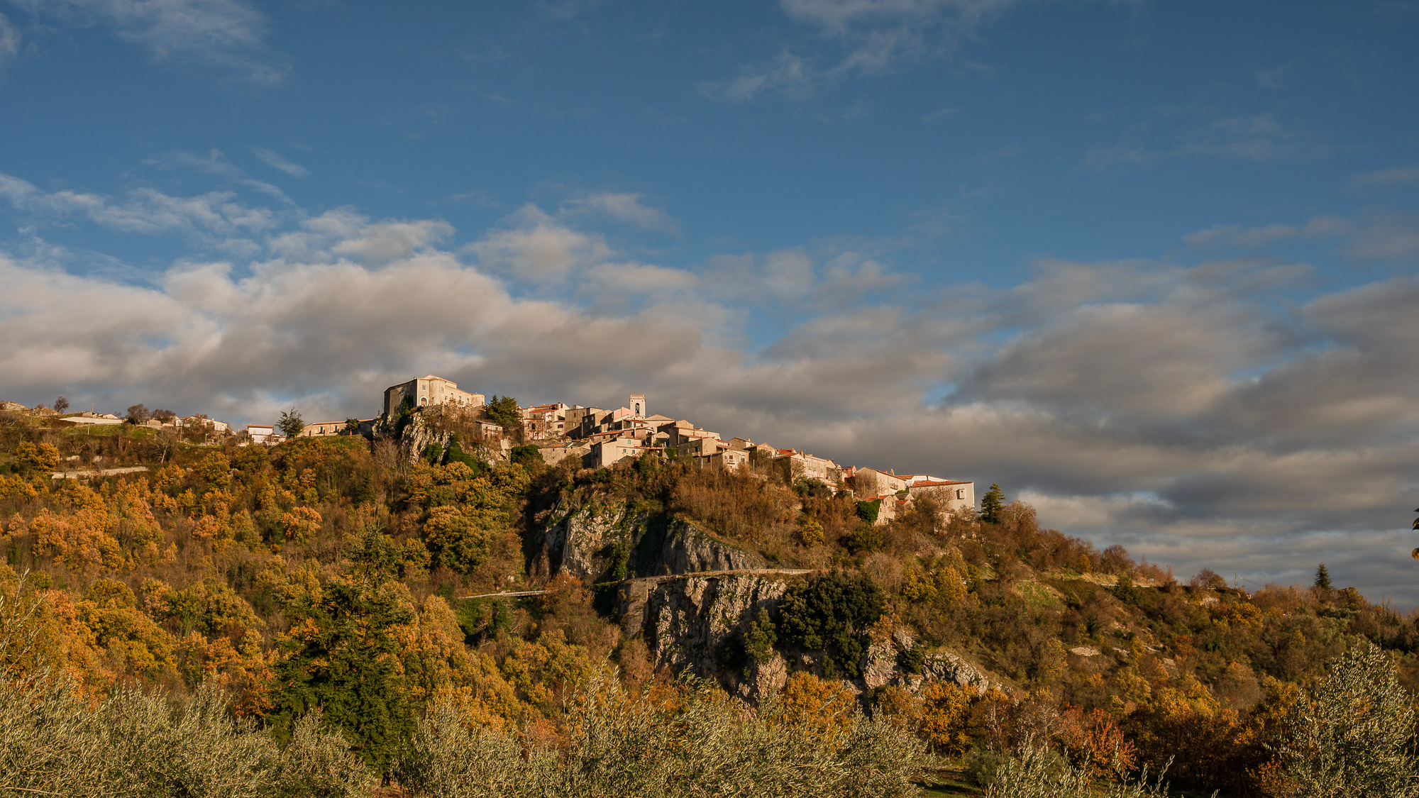
Castelpetroso. Sanctuary of the Madonna Addolorata
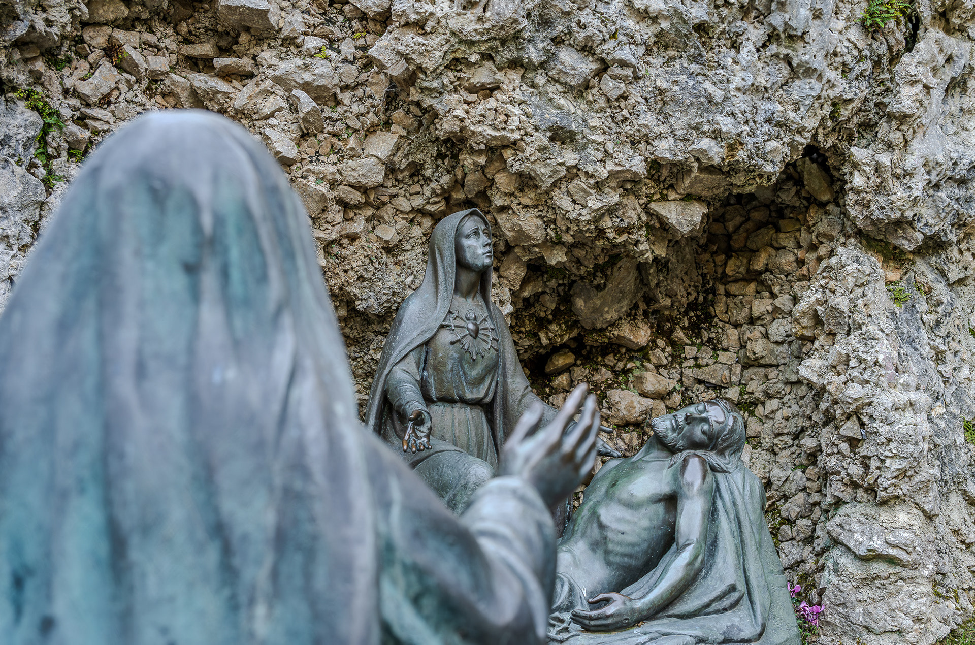
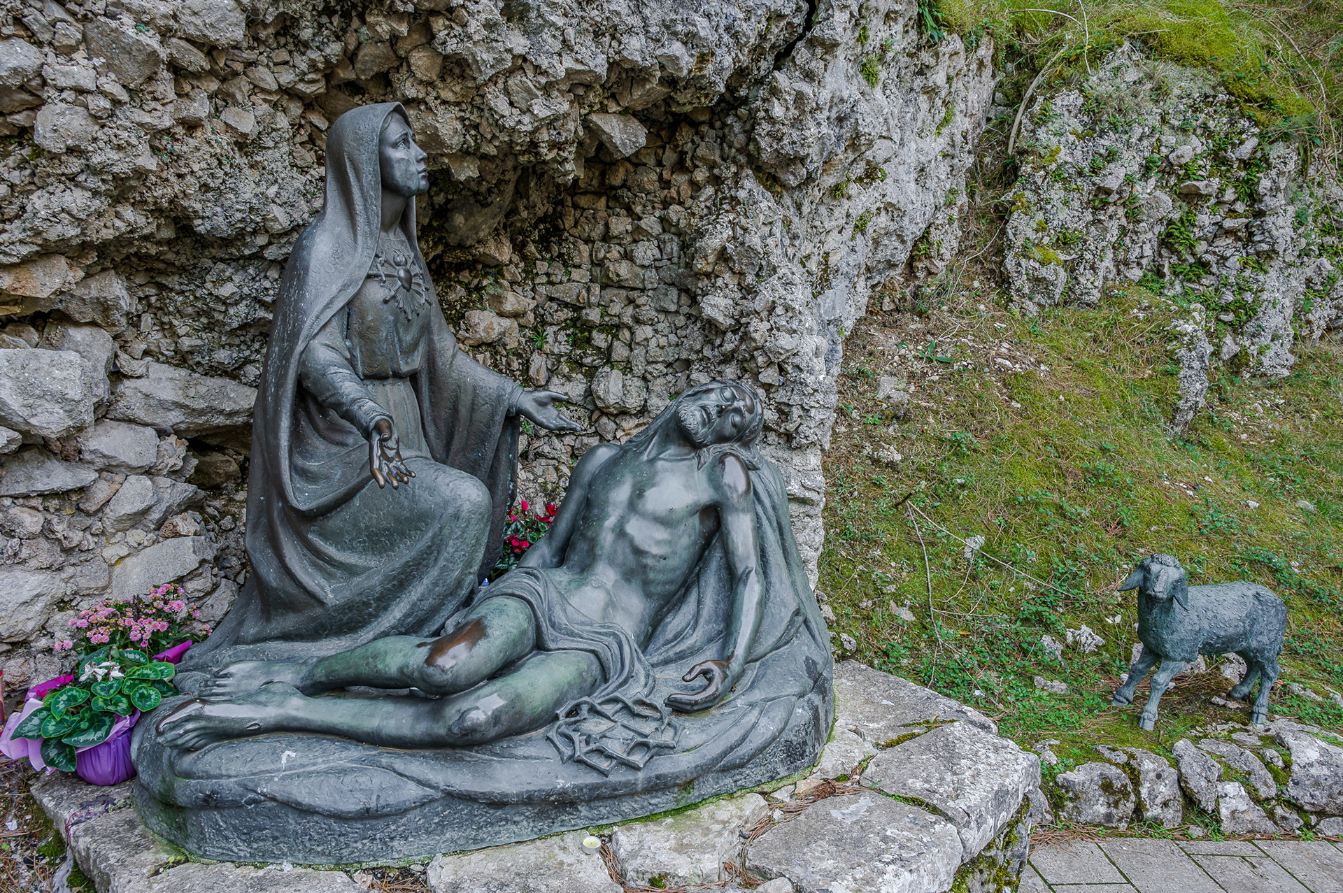
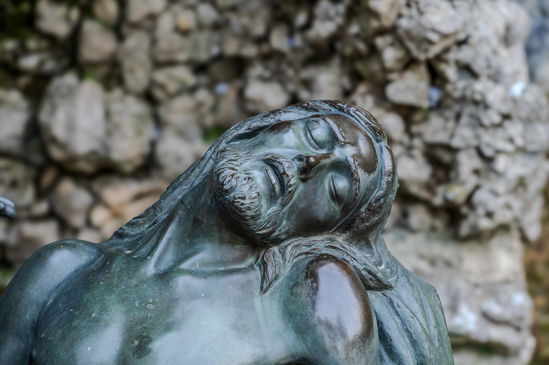
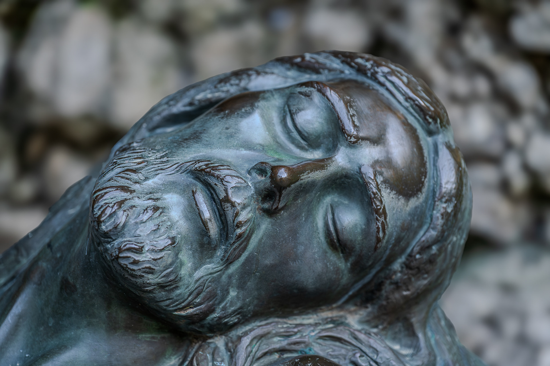
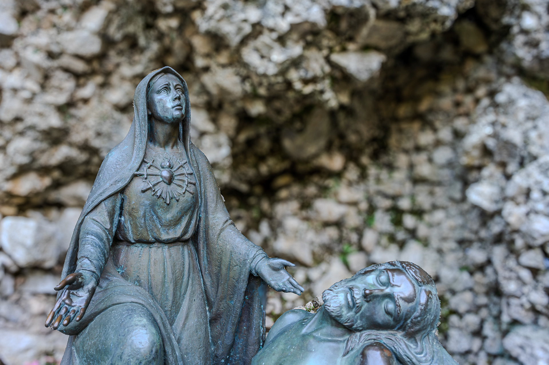
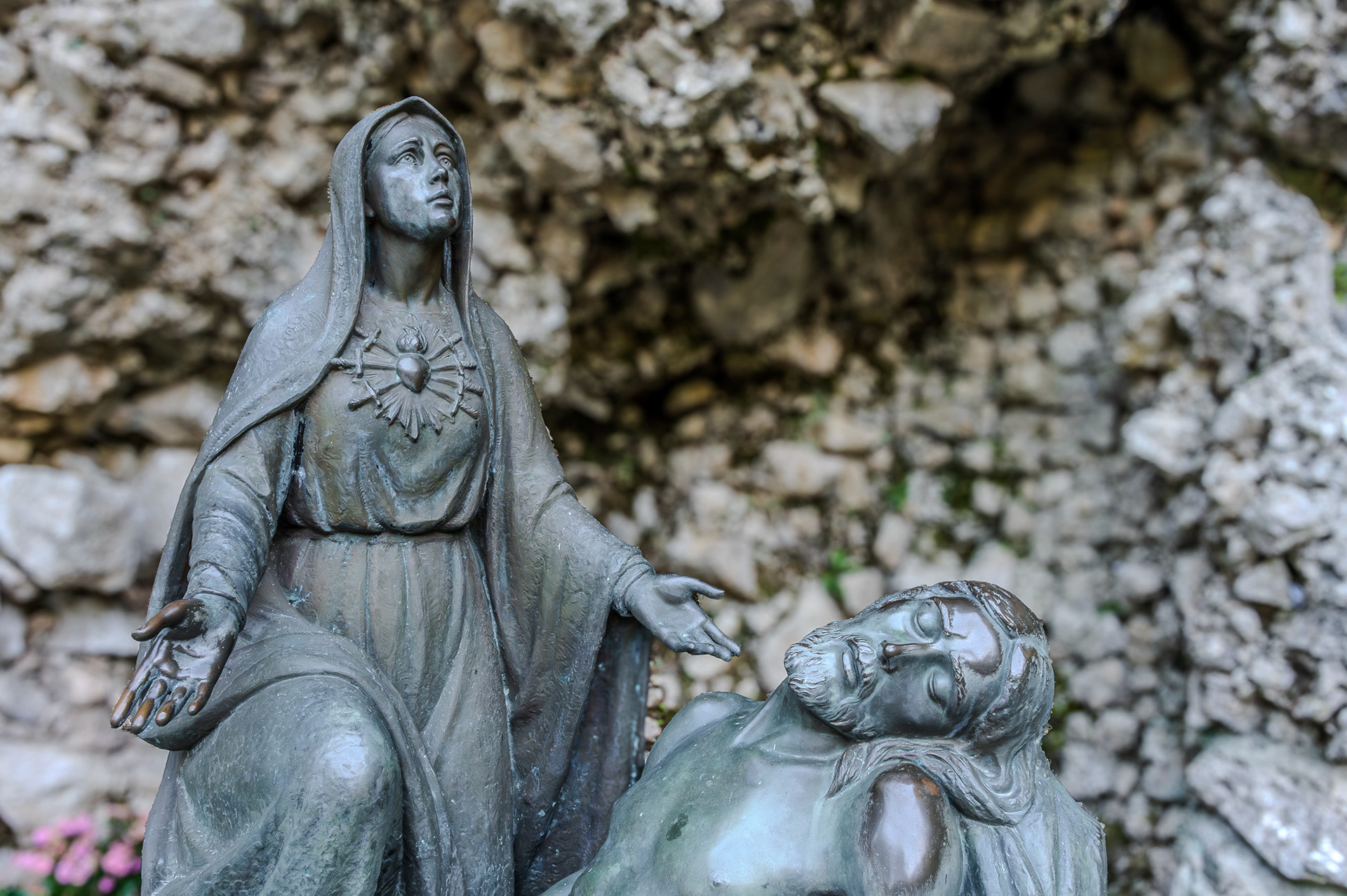
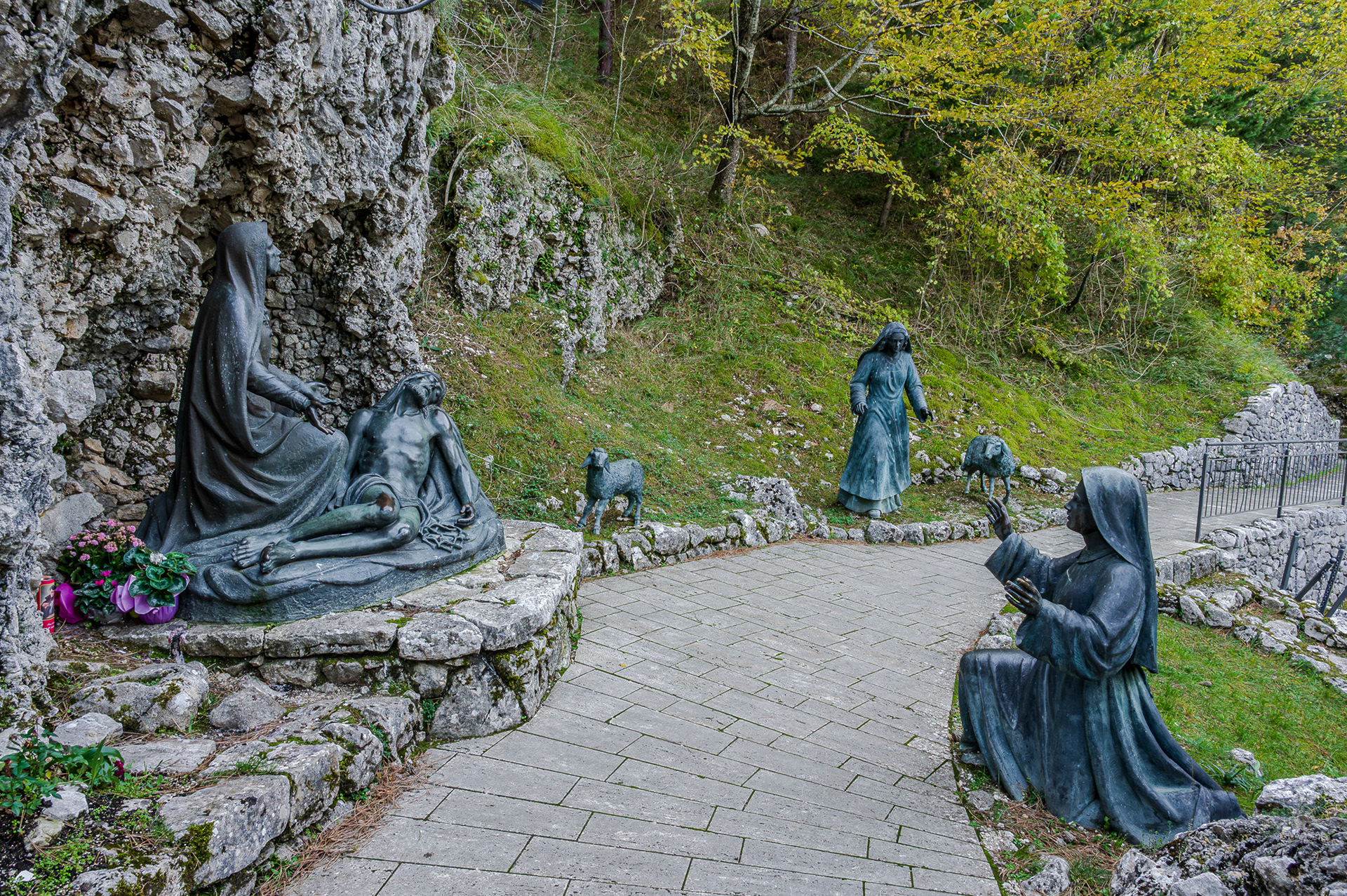
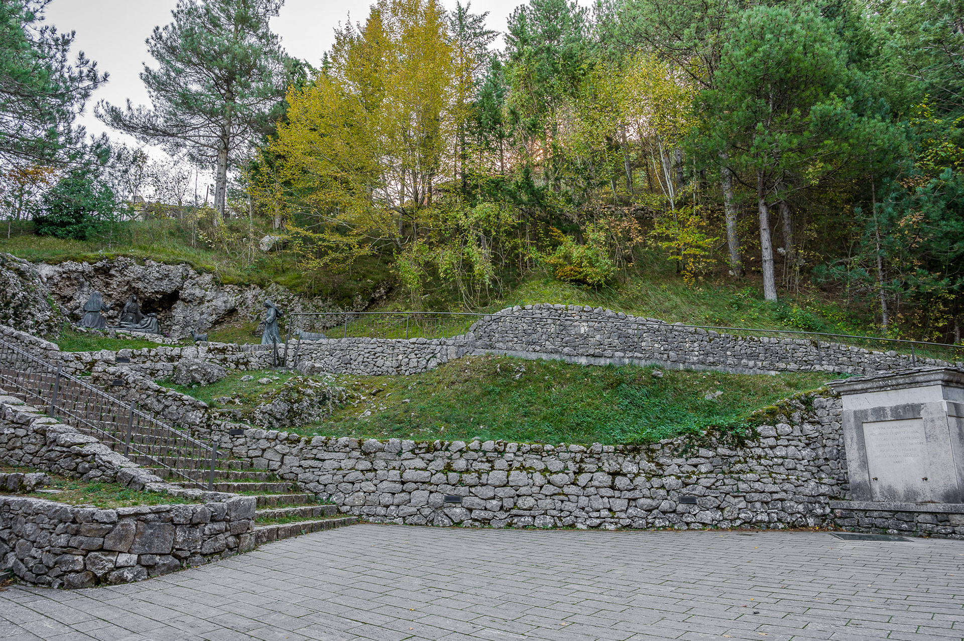
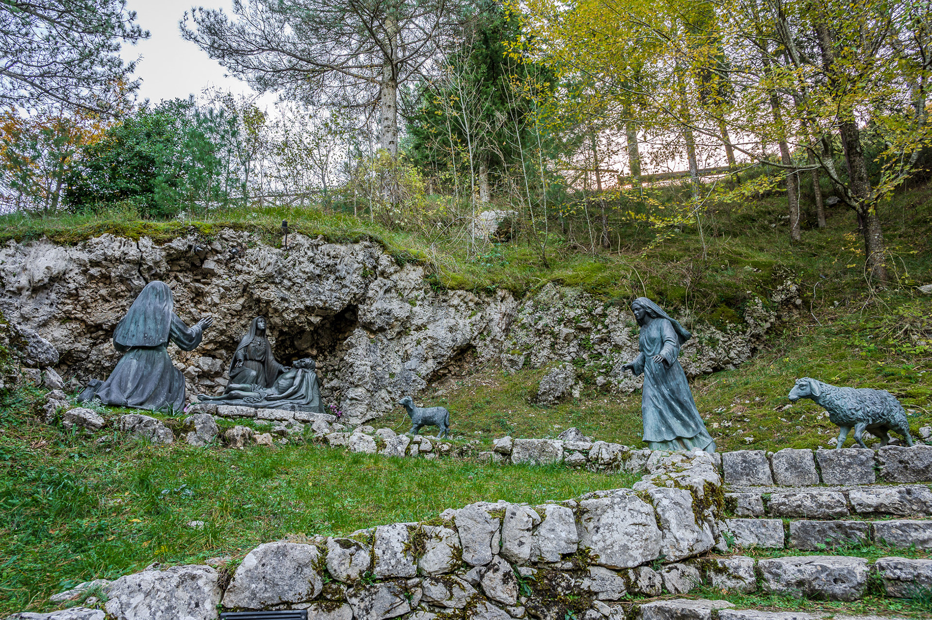
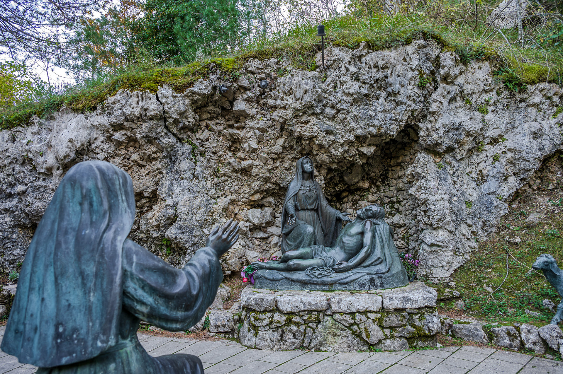
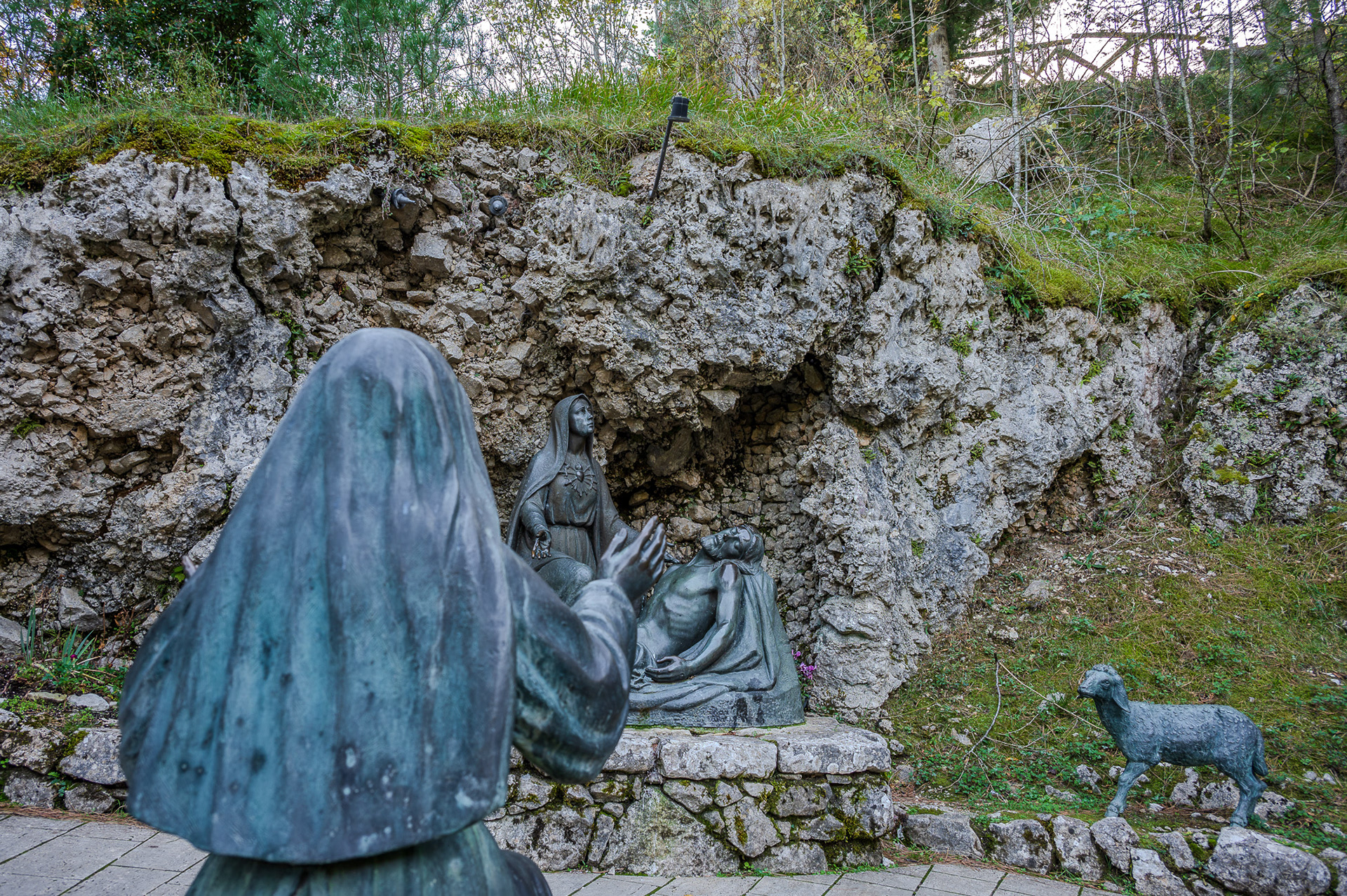
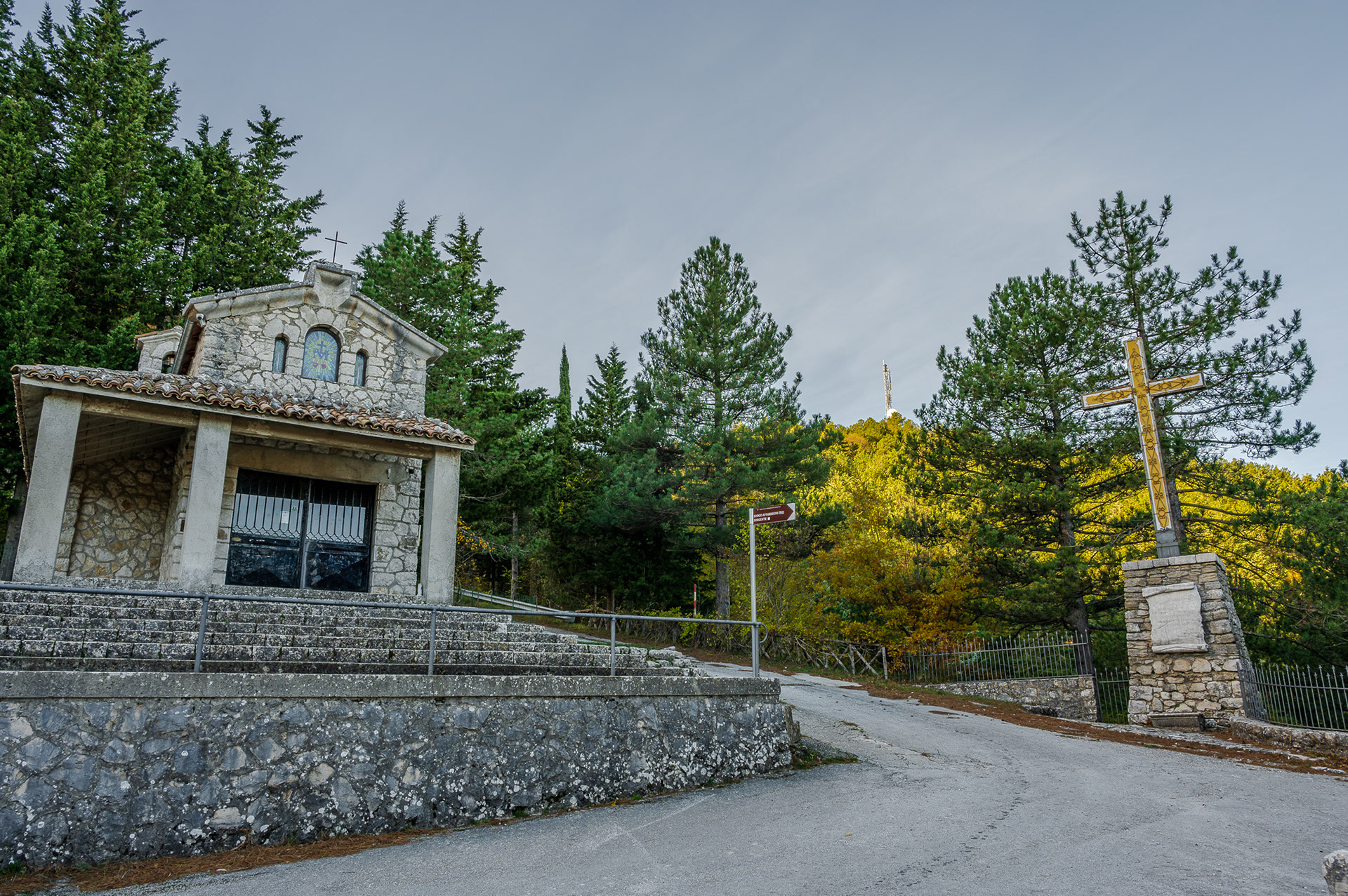
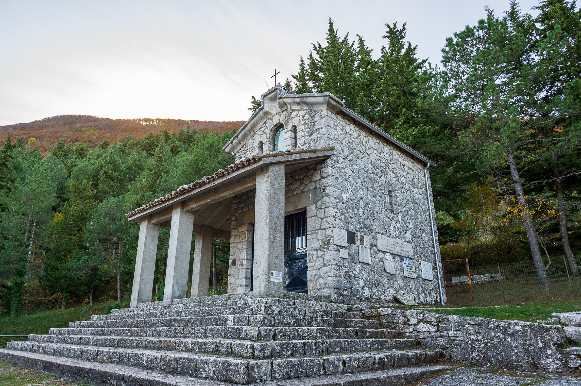
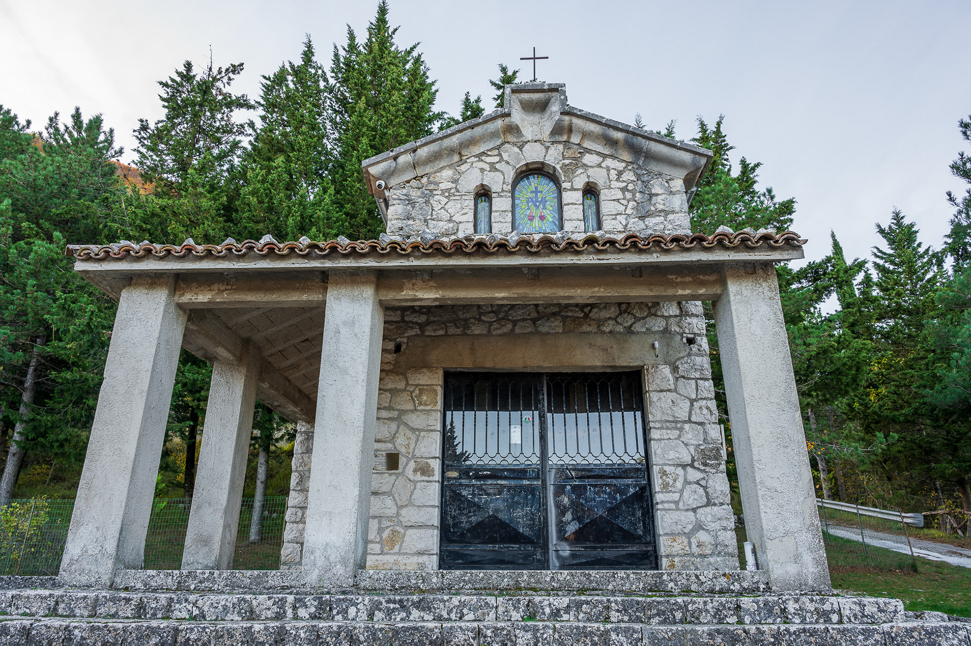
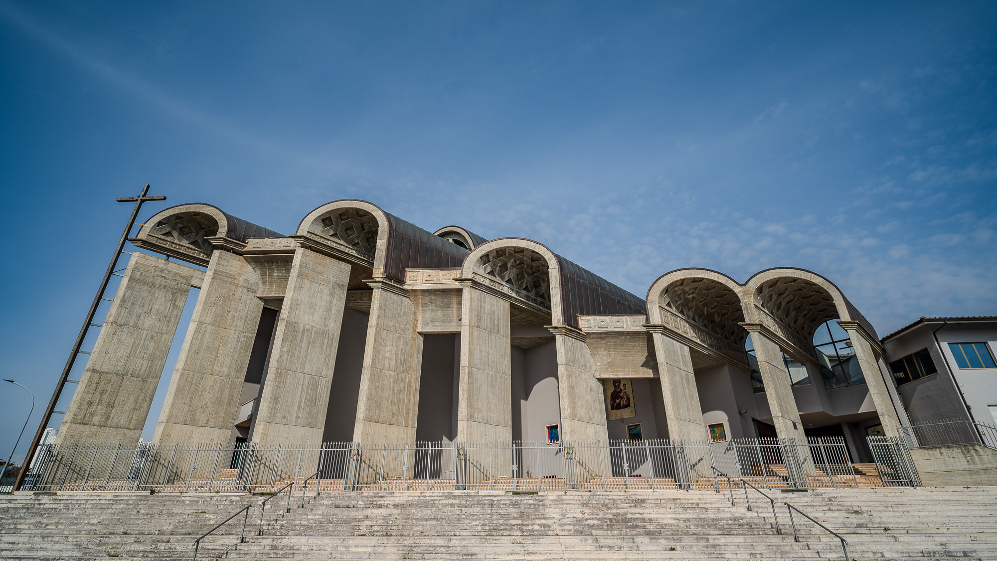
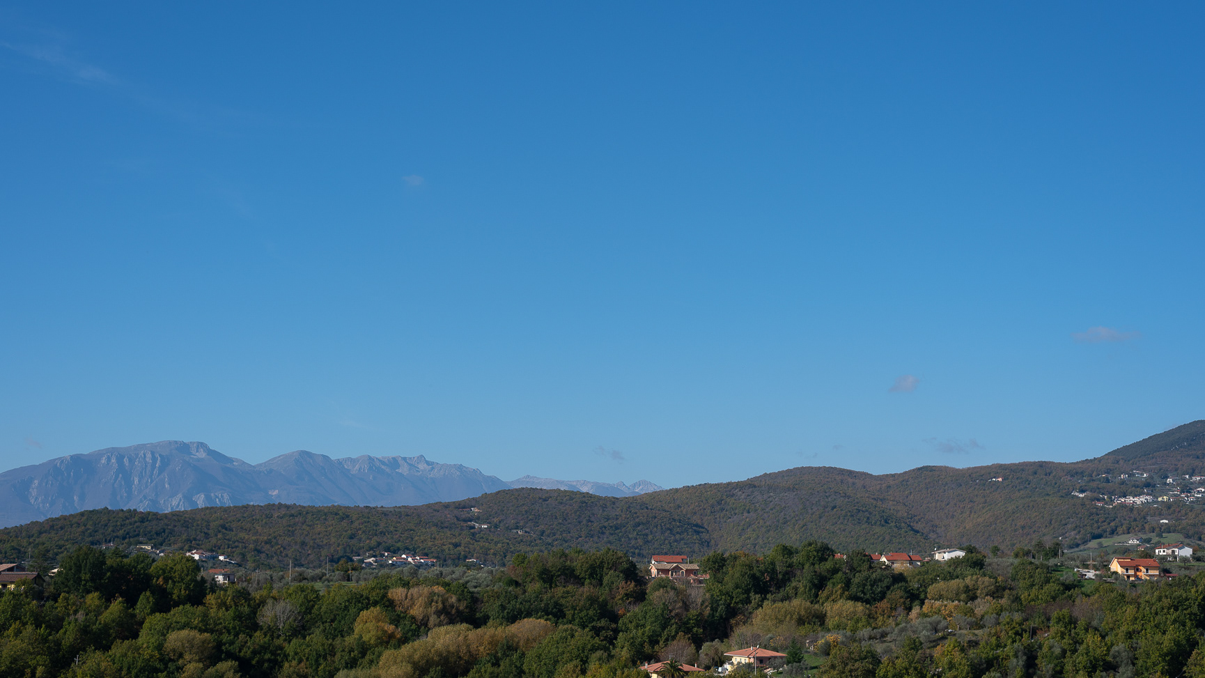
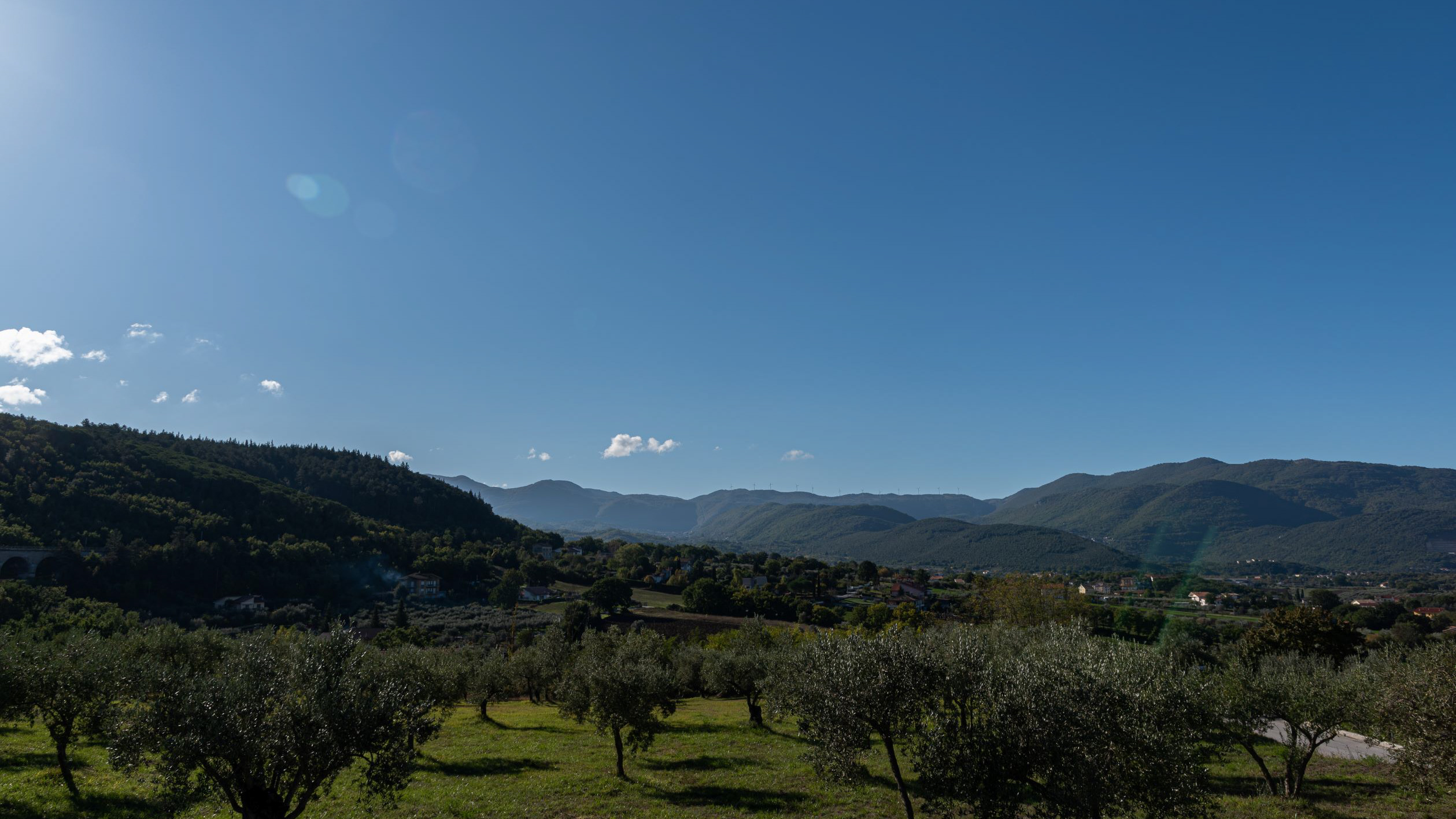
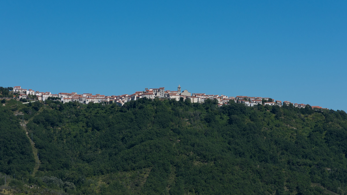
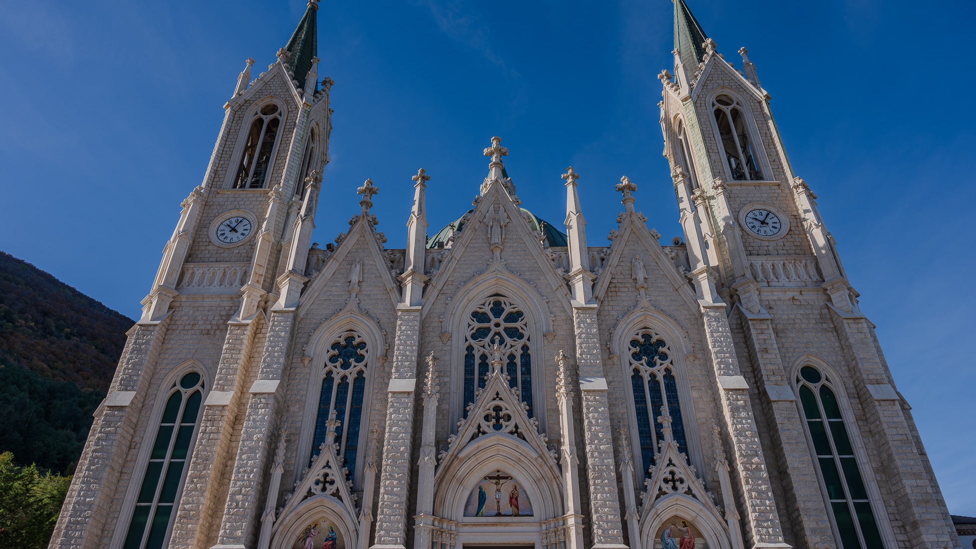
The basilica sanctuary of Maria Santissima Addolorata, or simply the Addolorata basilica is an important Catholic place of worship located in the municipality of Castelpetroso, in the province of Isernia, and belonging to the archdiocese of Campobasso-Boiano. According to the testimony of the visionaries, the Virgin Mary appeared for the first time on March 22, 1888 to two shepherdesses named Serafina and Bibiana in the locality of Cesa tra Santi, on the slopes of Mount Patalecchia. This first apparition was followed by others and, following the recognition of this phenomenon, Pope Paul VI proclaimed Maria Santissima Addolorata of Castelpetroso patroness of Molise on 6 December 1973. In the 1890s, it was decided to build a sanctuary near the place of the apparitions, but further downstream from this, so that it would be more easily accessible by pilgrims. The project was entrusted to Giuseppe Gualandi, whose death (1944) was succeeded by his son Francesco. On 28 September 1890 the first stone was laid and construction of the sanctuary began. It proceeded slowly due to economic problems and the two world wars: in 1907 the chapel of the Poles was finished and opened for worship, but the perimeter walls of the church were completed only in 1950, thanks to donations from don Nicolino Passarelli, canon theologian of the cathedral of Venafro, lawyer of the Sacra Rota and professor. In the following decades the sanctuary was completed and consecrated on 21 September 1975 by the bishop of Boiano-Campobasso Alberto Carinci.