You may also like

2025
Larino. Co-Cathedral of Santa Maria Assunta
The Larino Cathedral, or the co-cathedral basilica of Santa Maria Assunta and San Pardo, is located in the city of the same name in the province of Campobasso.
2022
Rocchetta al Volturno
Rocchetta a Volturno is an Italian town of 1 098 inhabitants in the province of Isernia in Molise. The Municipality of Rocchetta al Volturno is made up of two nuclei: the original village, called Rocchetta Alta, or Rocchetta Vecchia, still perched in a defensive position on the mountain, and Rocchetta Nuova, which is located at a lower altitude. The new Rocchetta was born because, at the end of the 19th century, the slope that connected the southern part of the ancient town with the opposite hill was deforested and the land began to show serious subsidence from 1890 due to the progressive sliding of the superimposed layers of clay and sandstone, increased by water infiltrations, both rain and spring. In 1905, following further disastrous events, the population moved for the most part downstream, where there was a hamlet called Case Sparse. The modern town is developed today in the center of a plateau, bordered to the west by the terminal part of the Mainarde chain and to the east by a depression, at the bottom of which the Volturno flows; about two kilometers away are the sources of the river. Its name characterizes the toponyms of other nearby municipalities such as Colli a Volturno and Cerro al Volturno.
2024
Spring landscapes 2024
2025
Termoli
2007
Castiglione di Carovilli (IS)
Castiglione di Carovilli (o Castiglione) è una frazione del comune di Carovilli, nella provincia di Isernia, Molise. Sito in una zona di grande valore paesaggistico e faunistico, oggi conta circa 200 abitanti, mentre agli inizi del secolo la popolazione era attorno al migliaio di unità. Rilevante è la presenza dell'Oasi WWF di Collearso (attraversata dal fiume Trigno) nella quale si possono osservare molte specie di mammiferi (cinghiale, daino, volpe, lupo, puzzola europea, tasso, donnola), uccelli (nibbio), rettili (vipera comune, lucertola, biscia) e anfibi. Per ciò che riguarda il patrimonio storico e architettonico va segnalata l'antica chiesa sul colle, risalente al Quattrocento, che oggi, specie nei mesi estivi, ospita manifestazioni teatrali e di musica classica.
2021
Isernia, scorci
2022
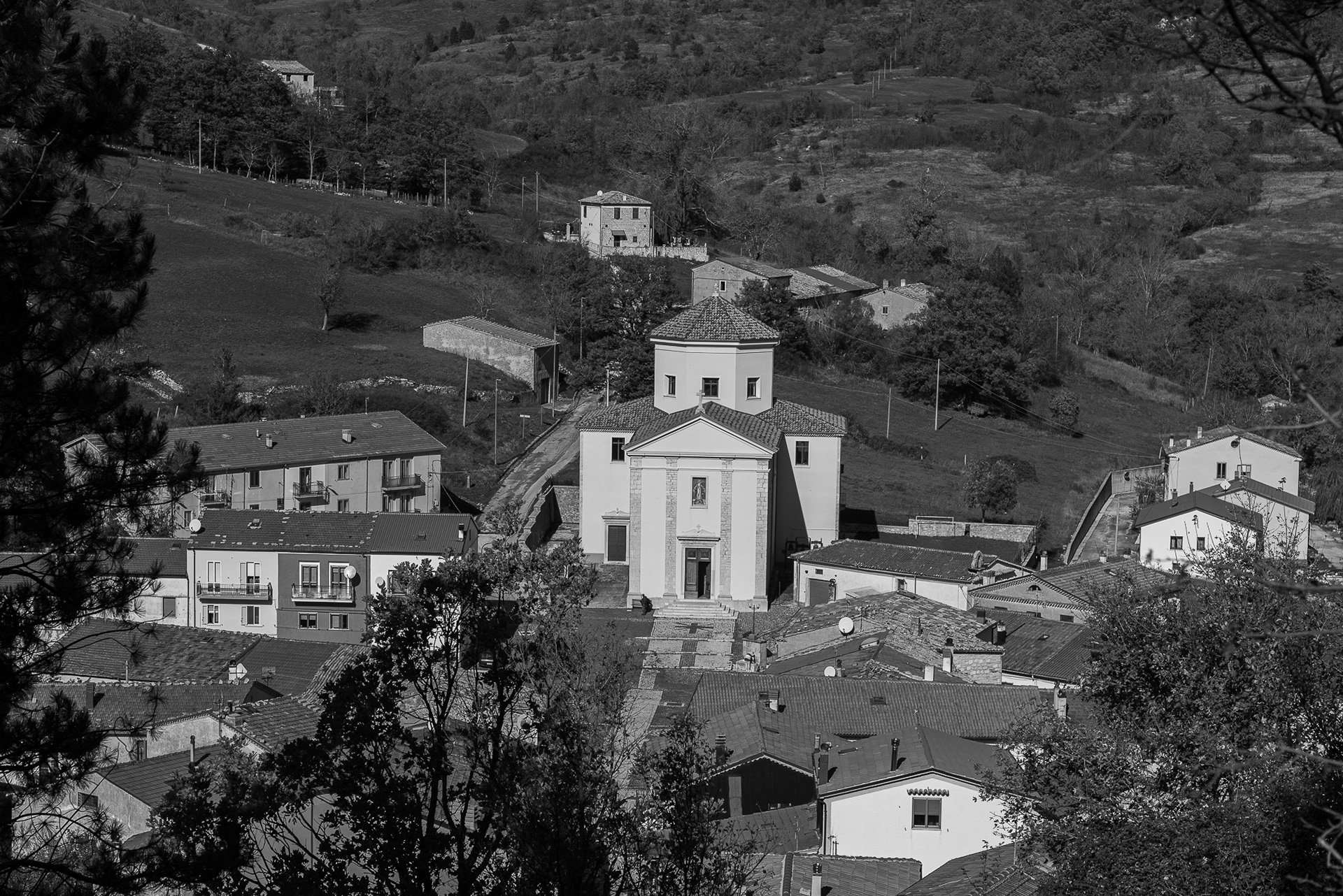
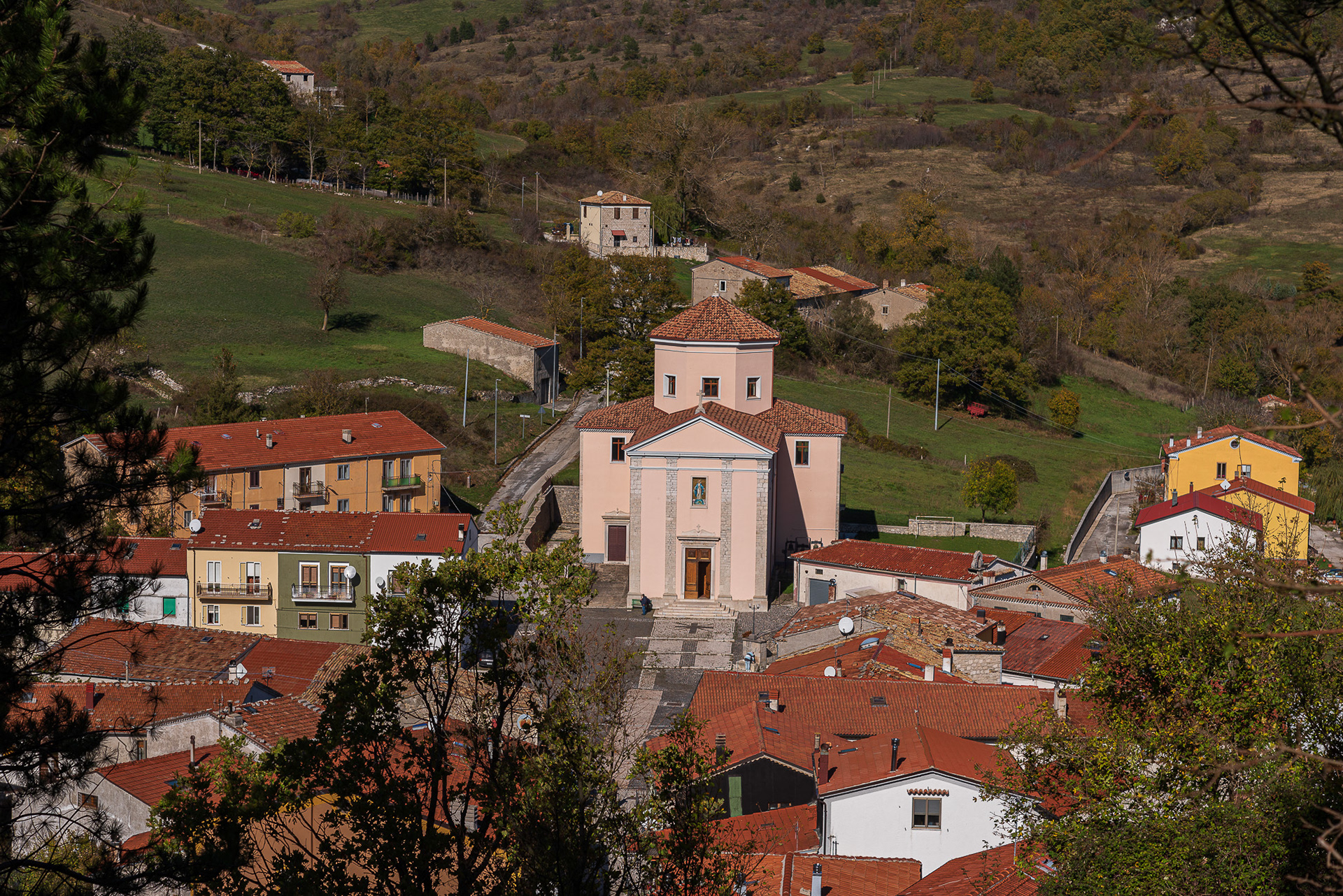
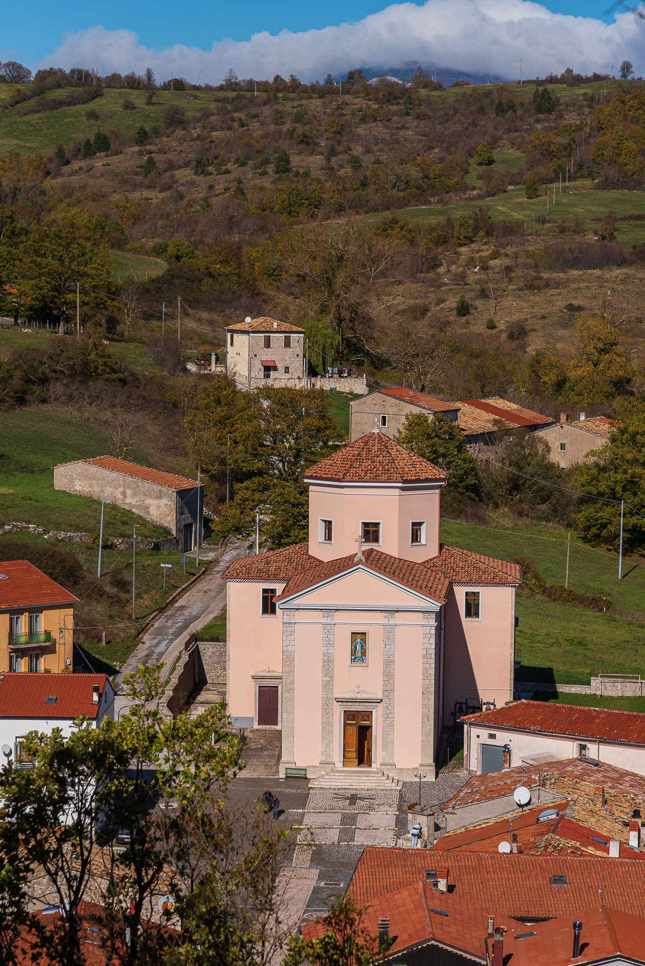
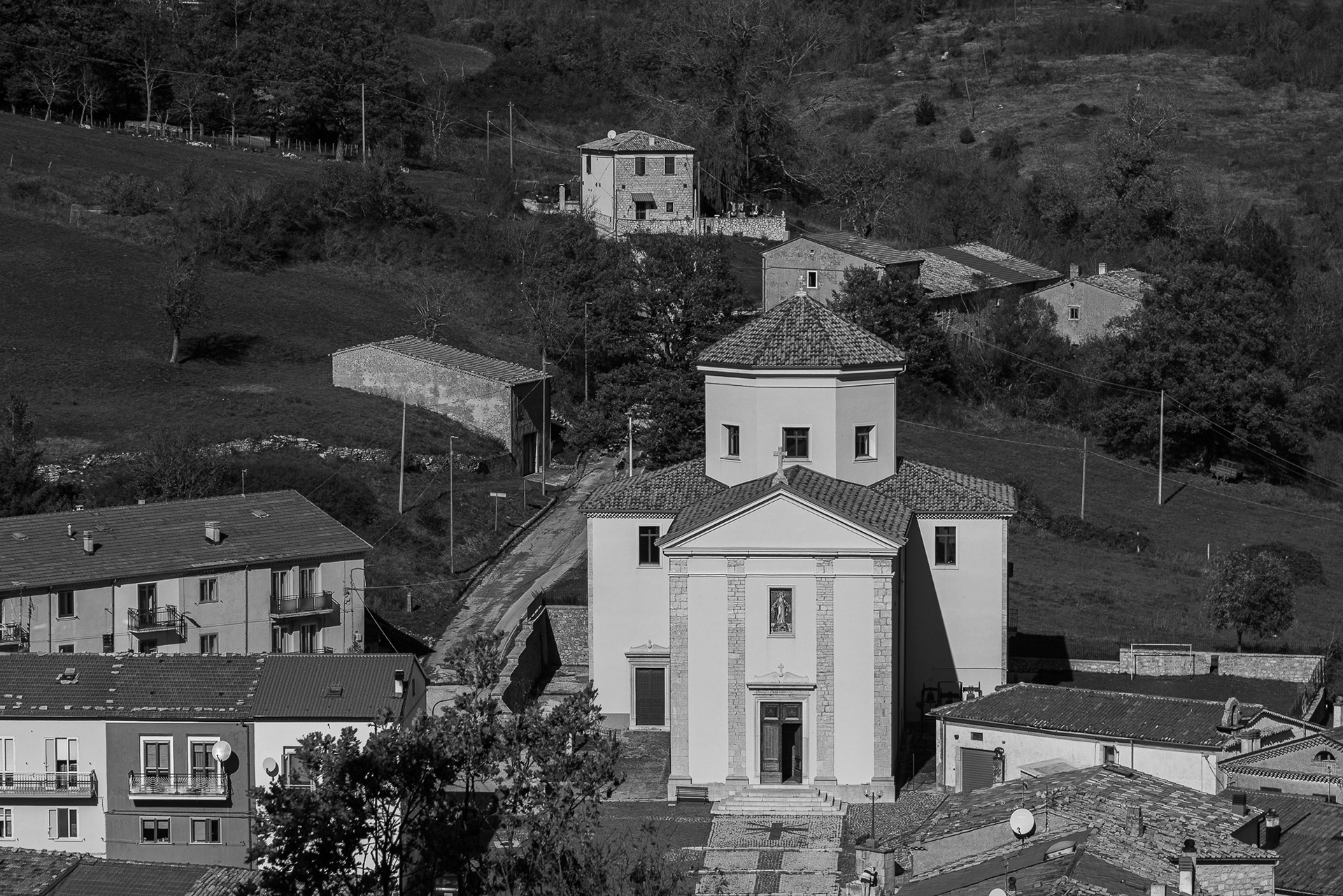
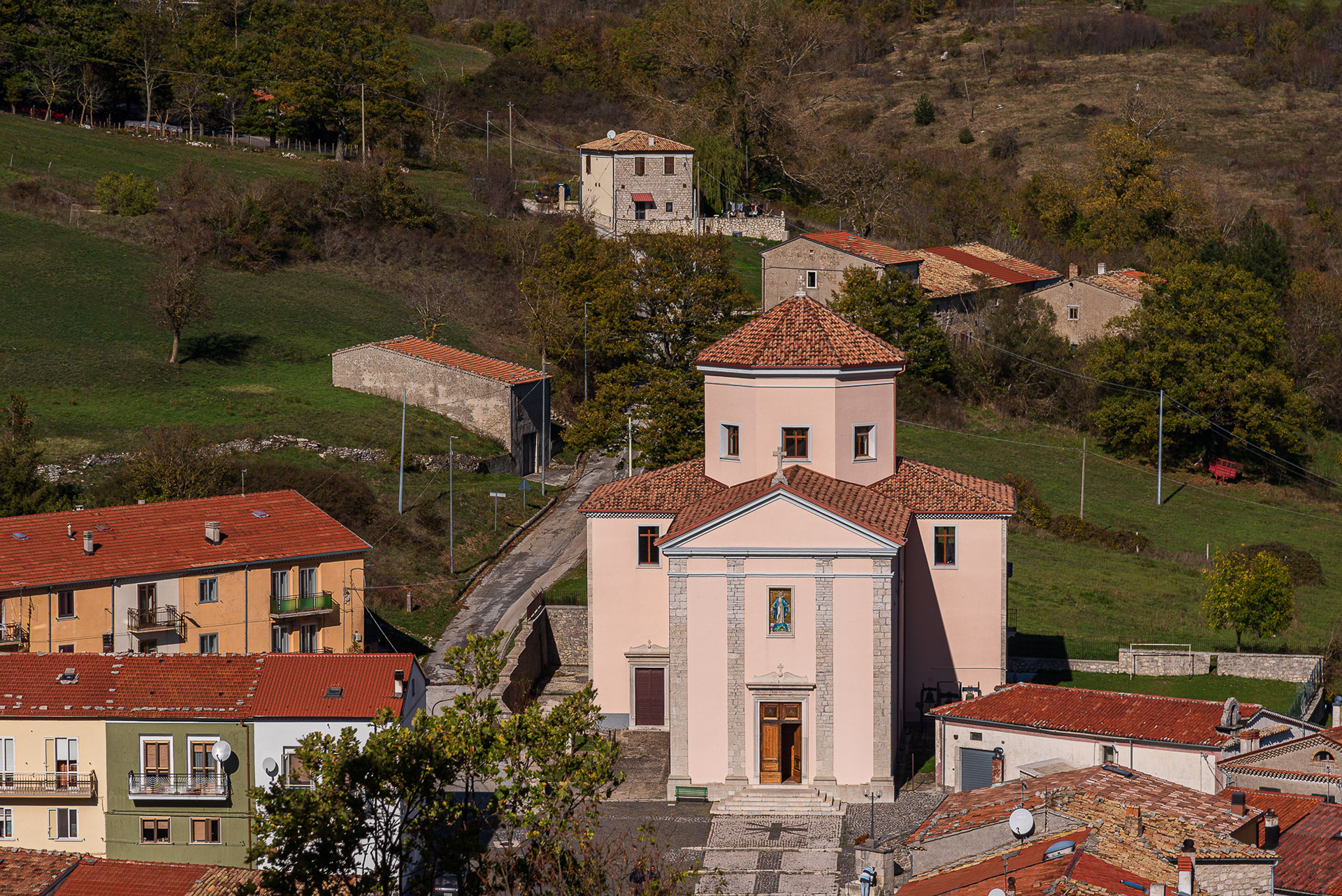
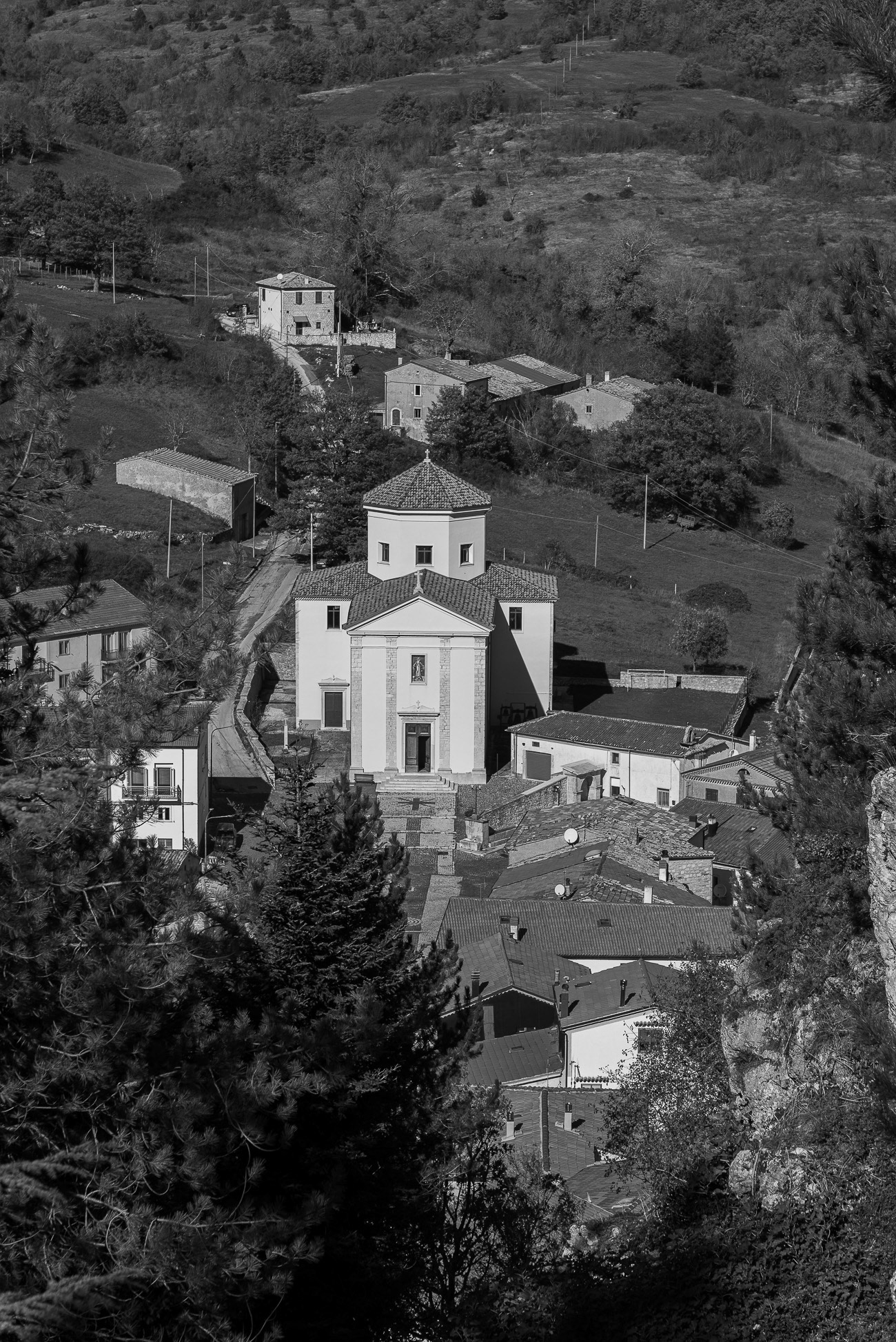
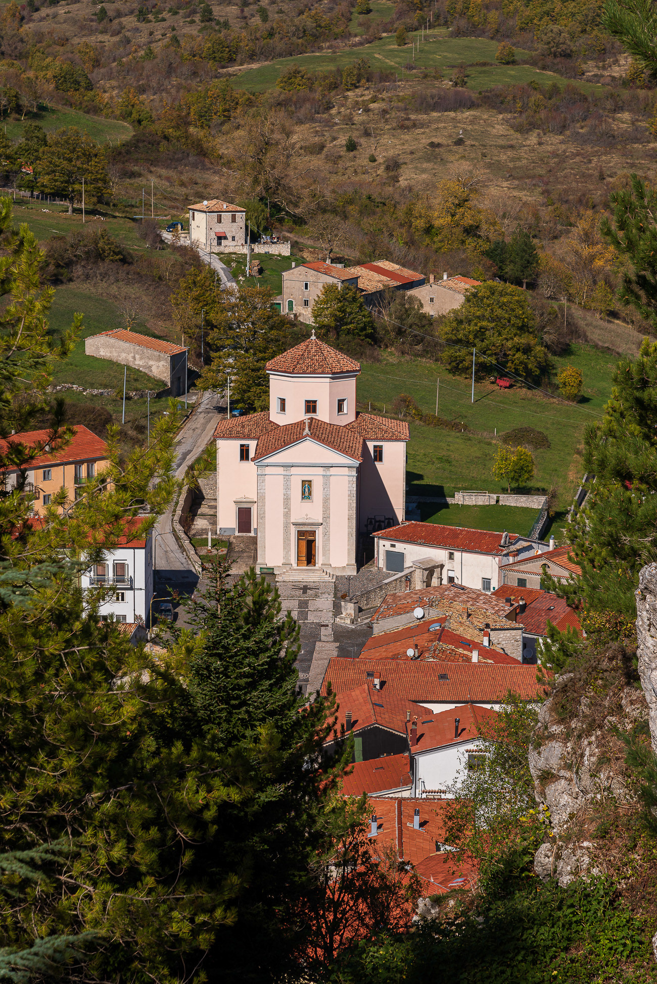
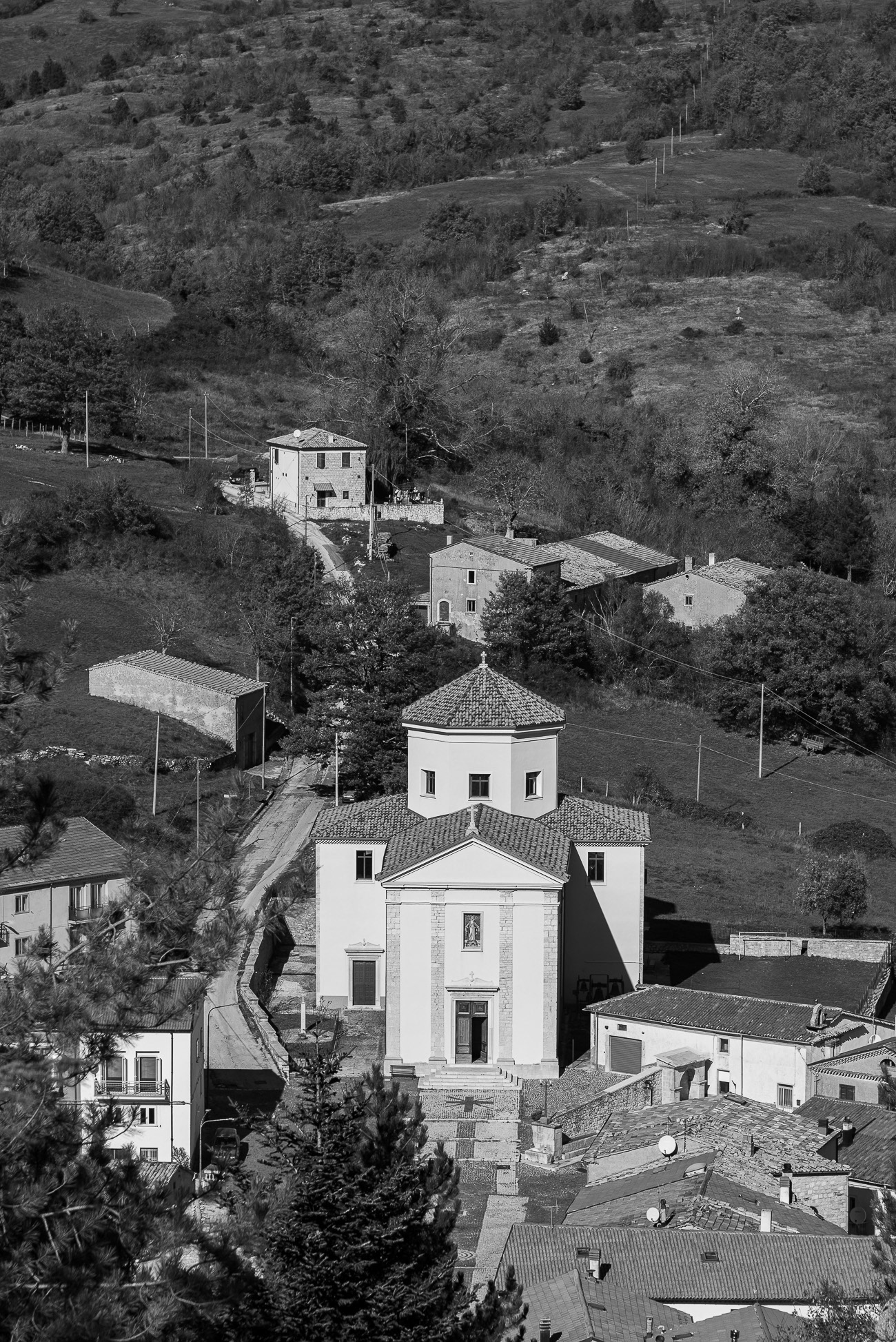
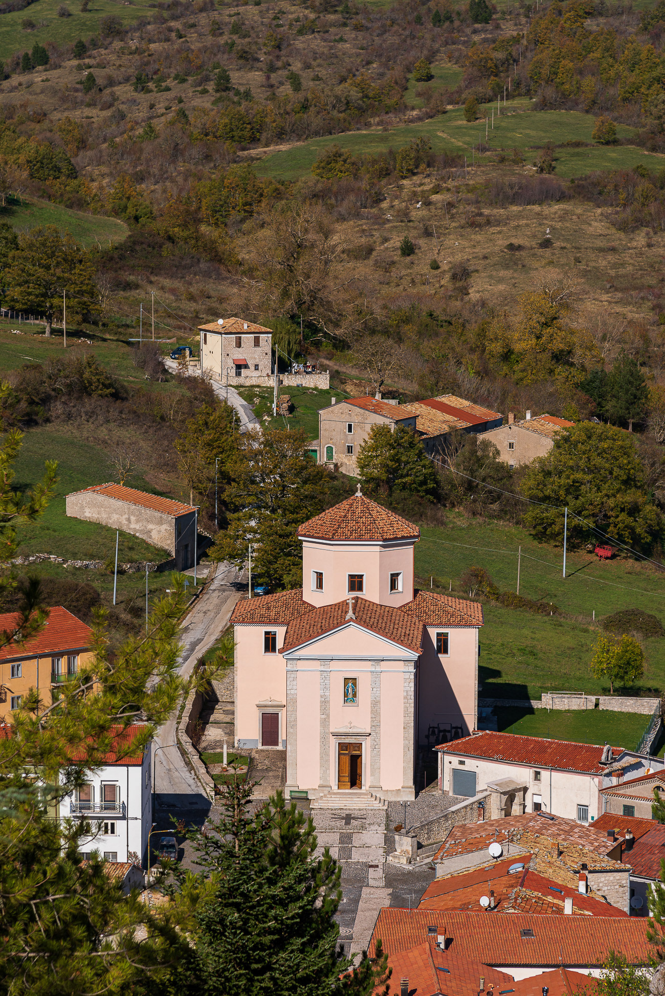
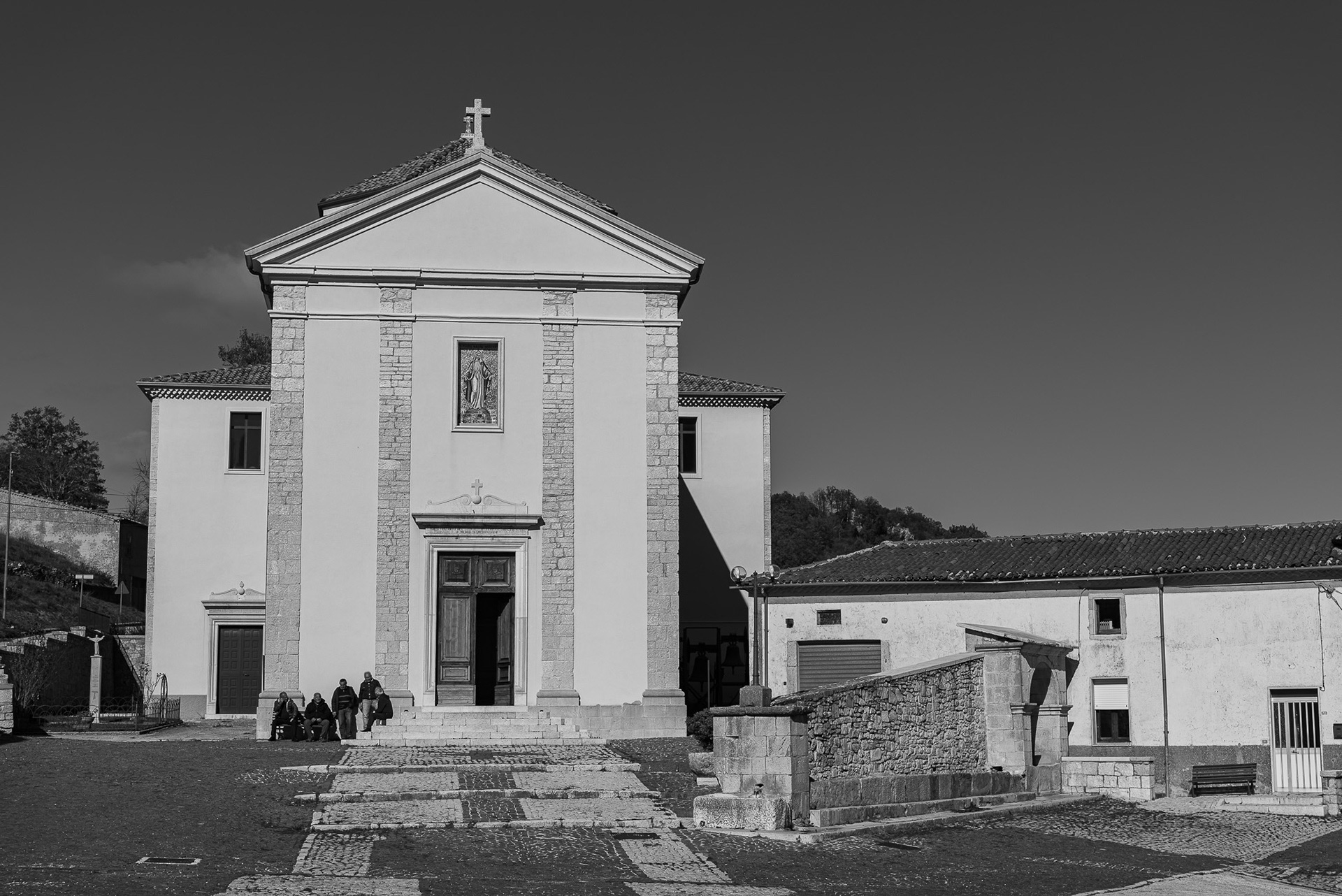
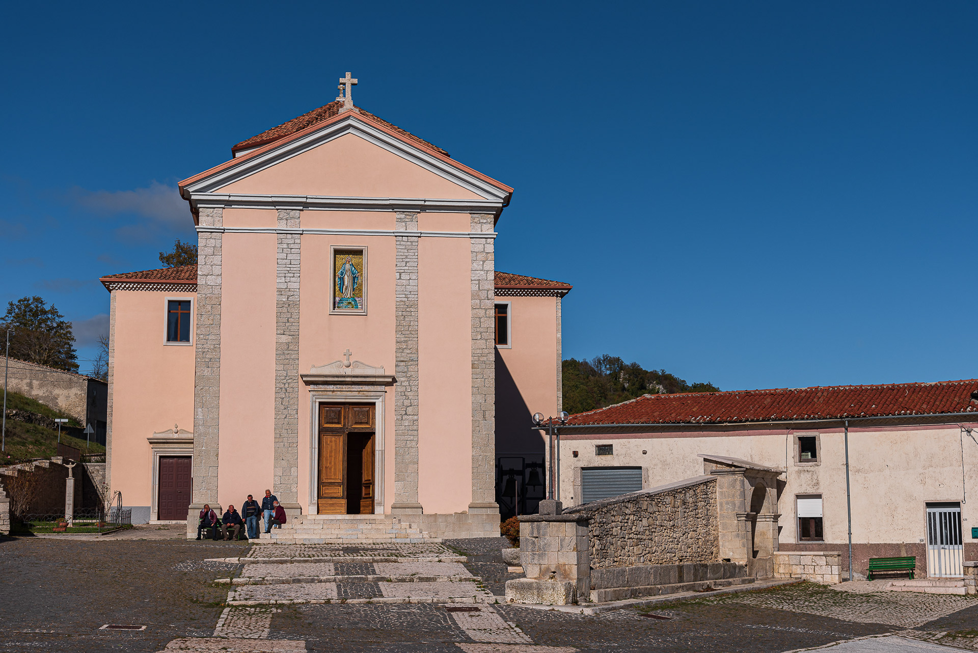
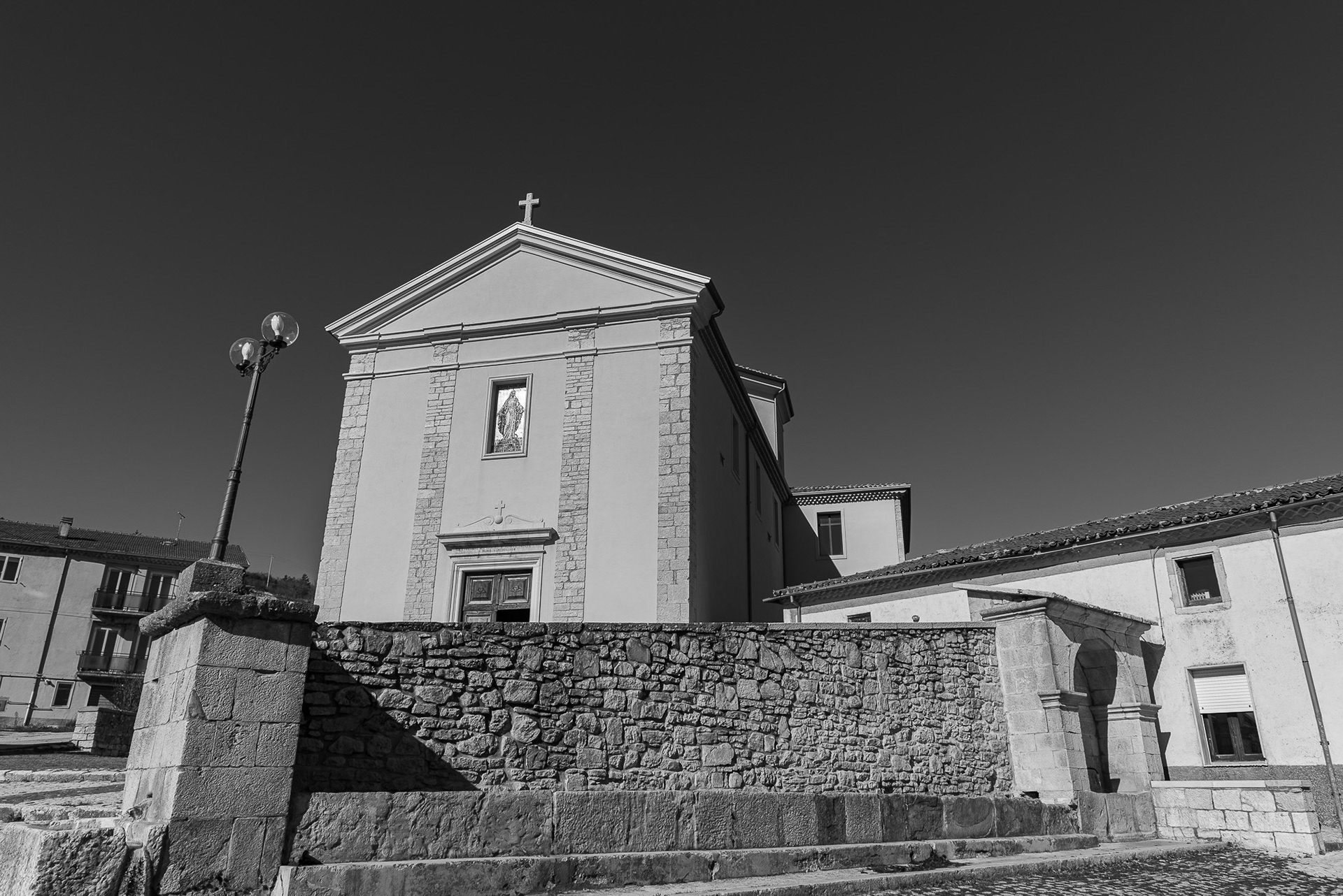
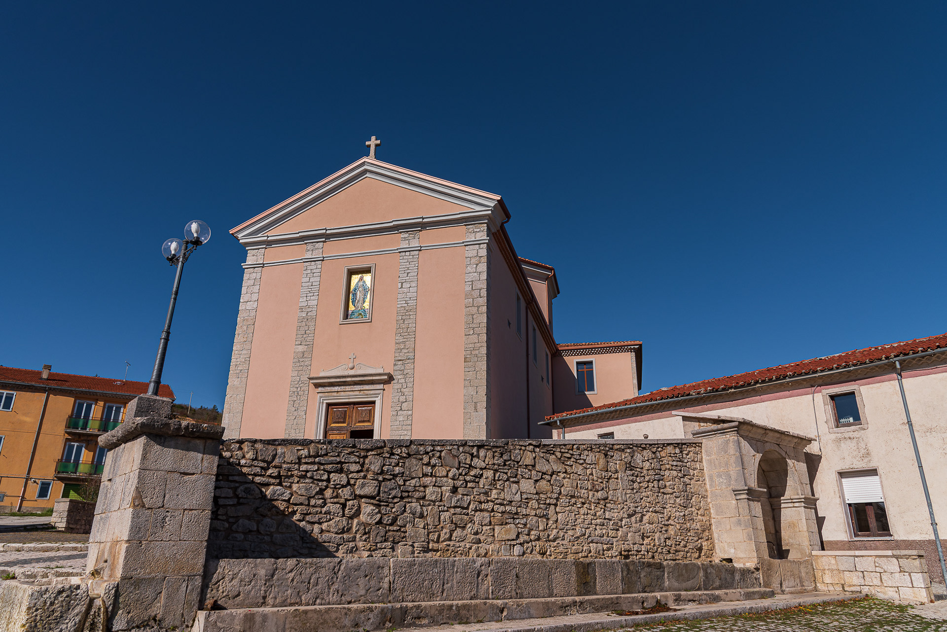
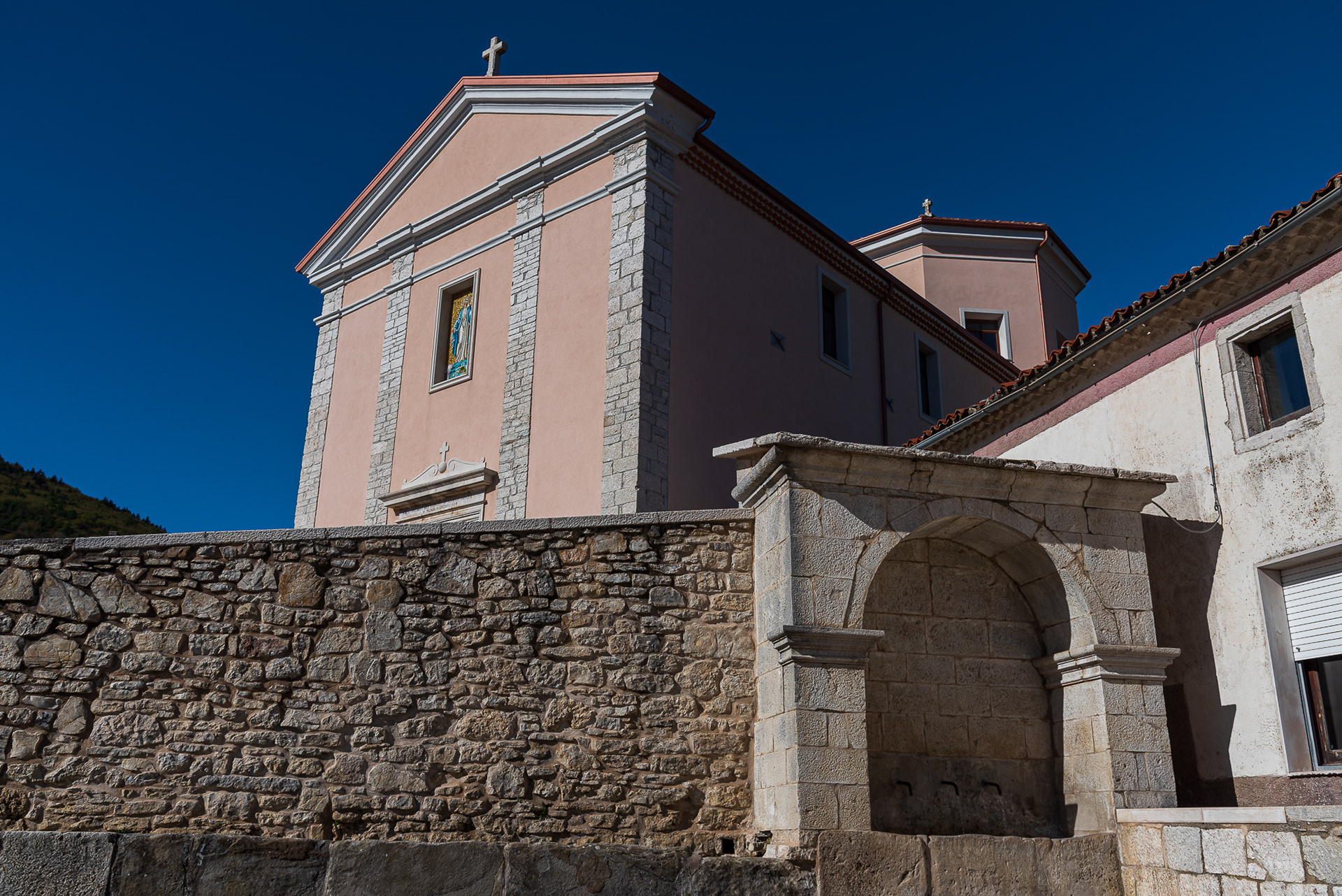
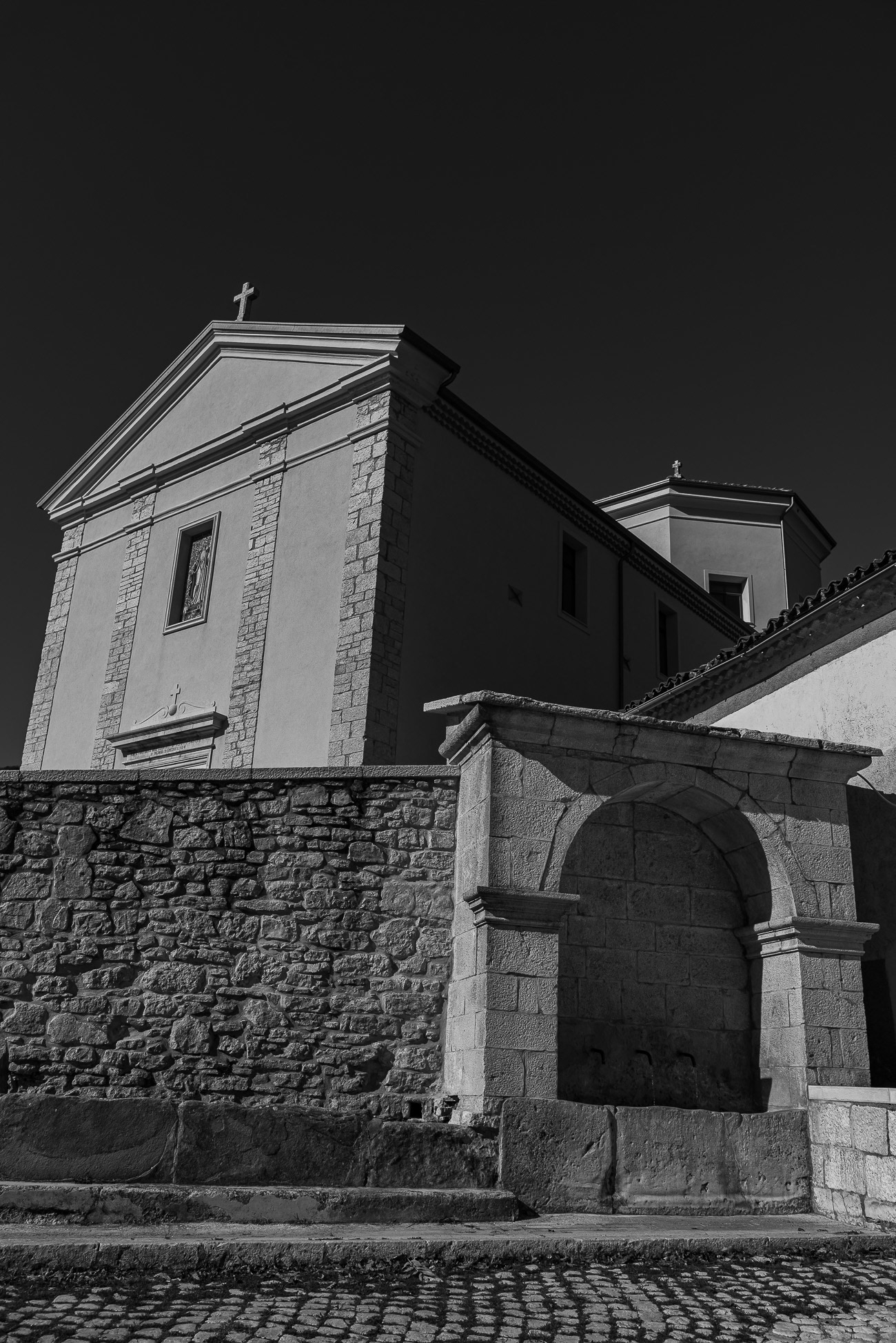
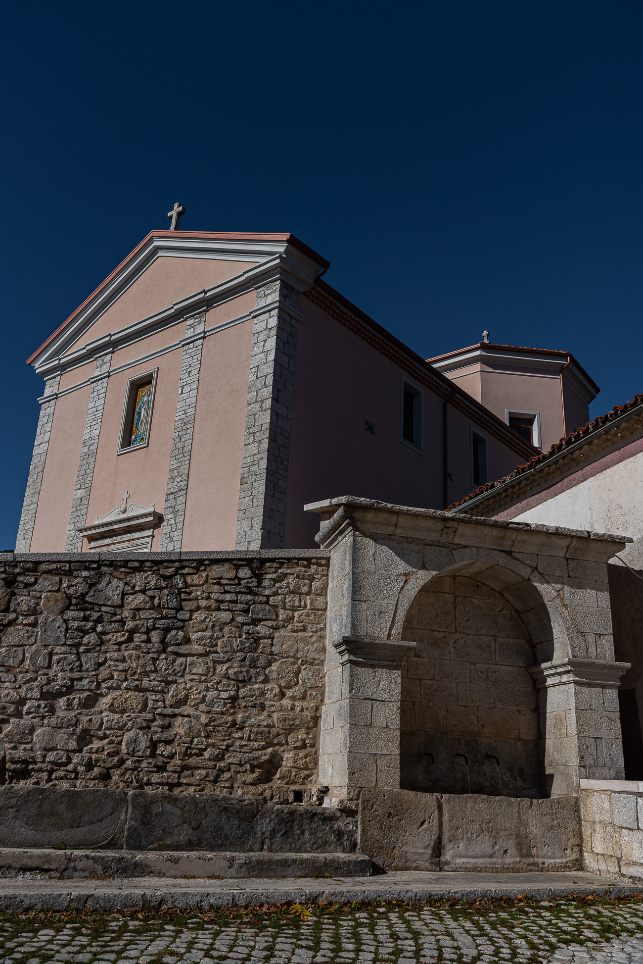
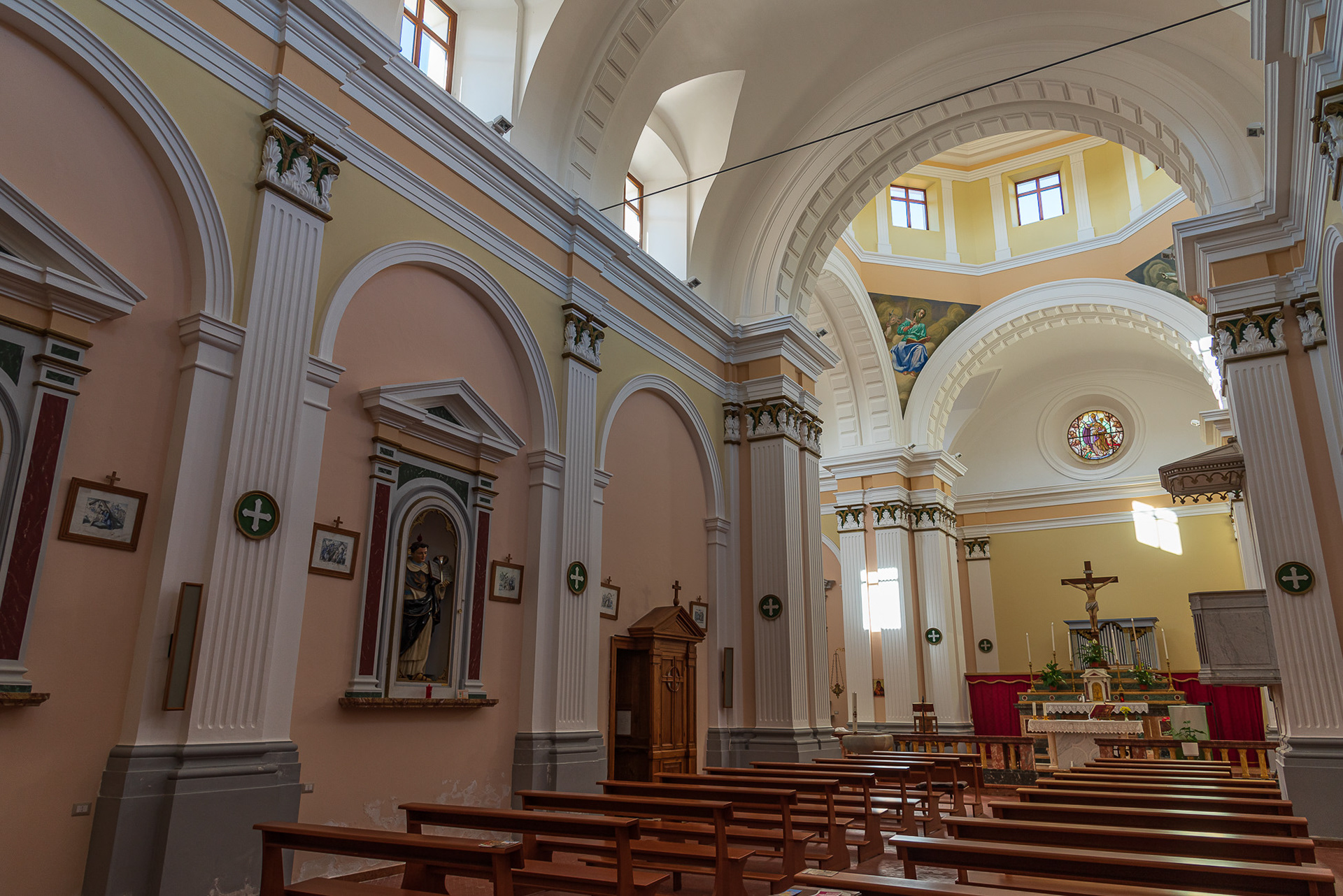
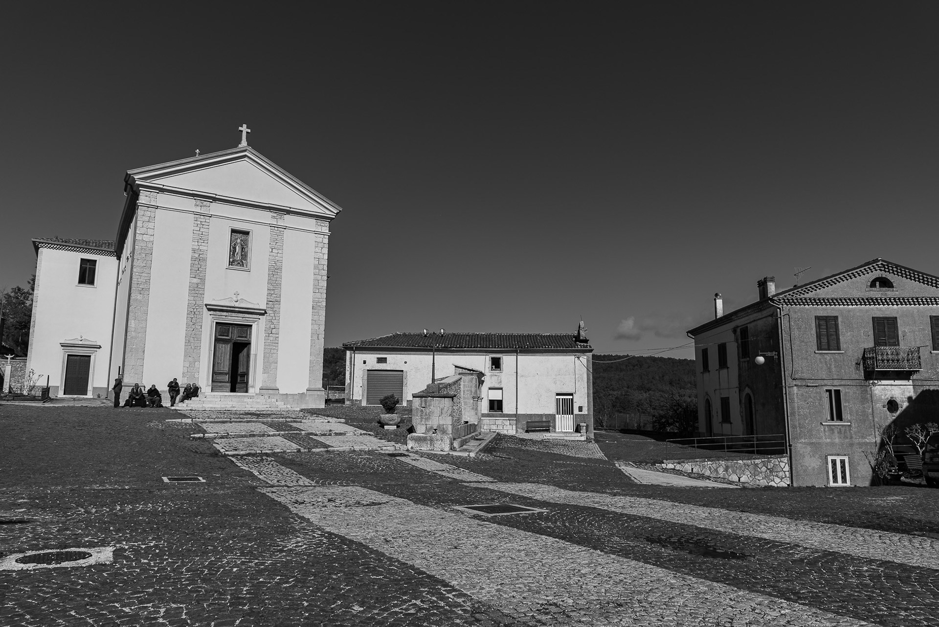
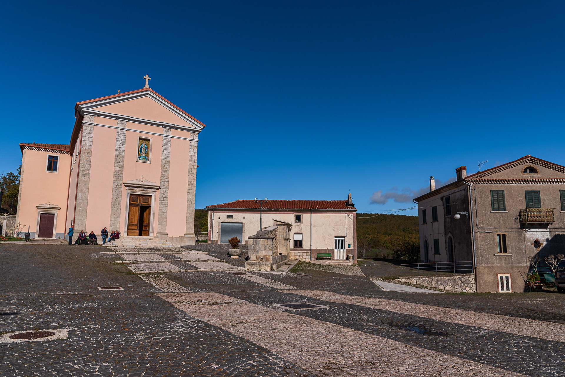
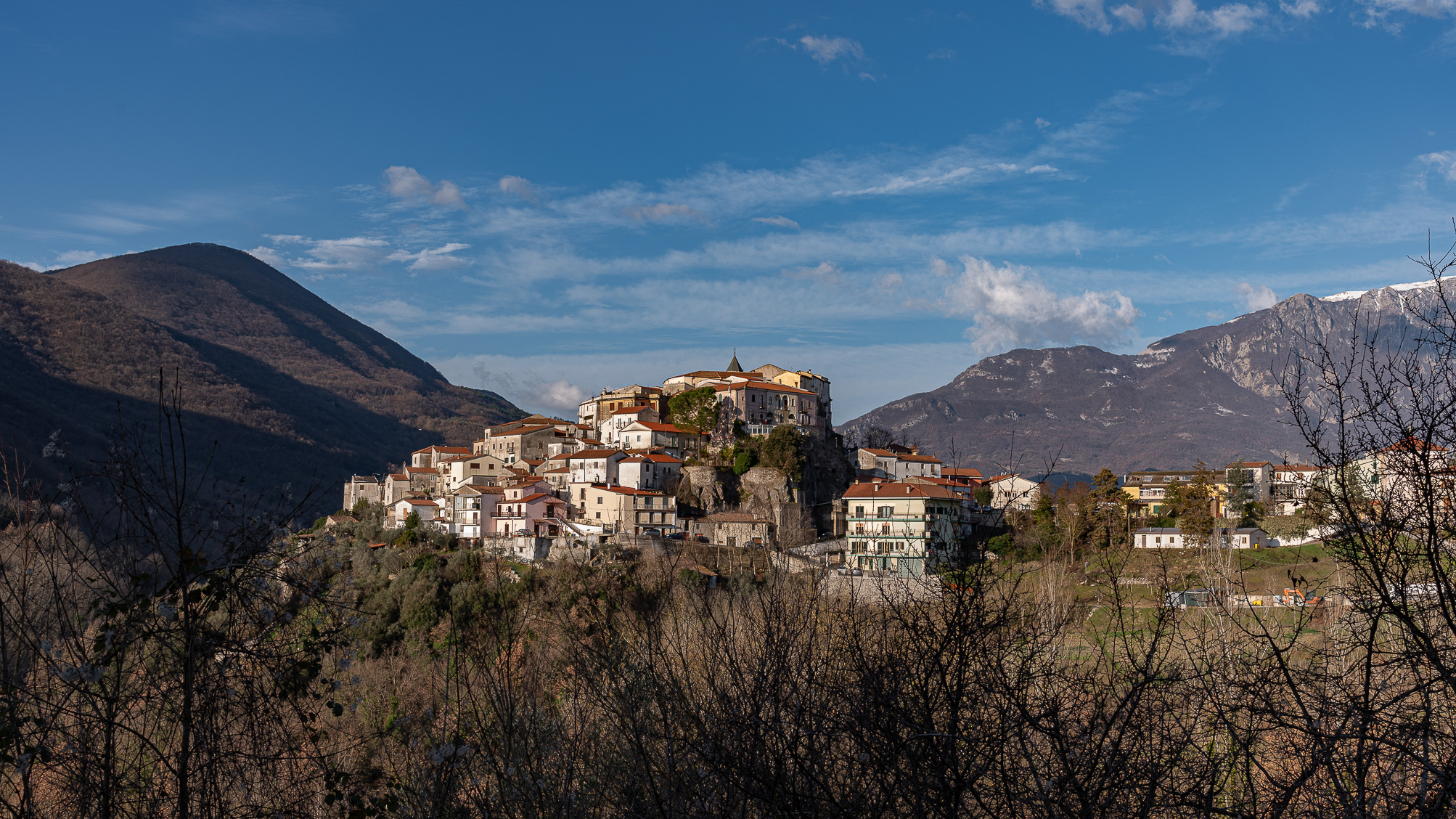
Colli a Volturno. Winter 2022
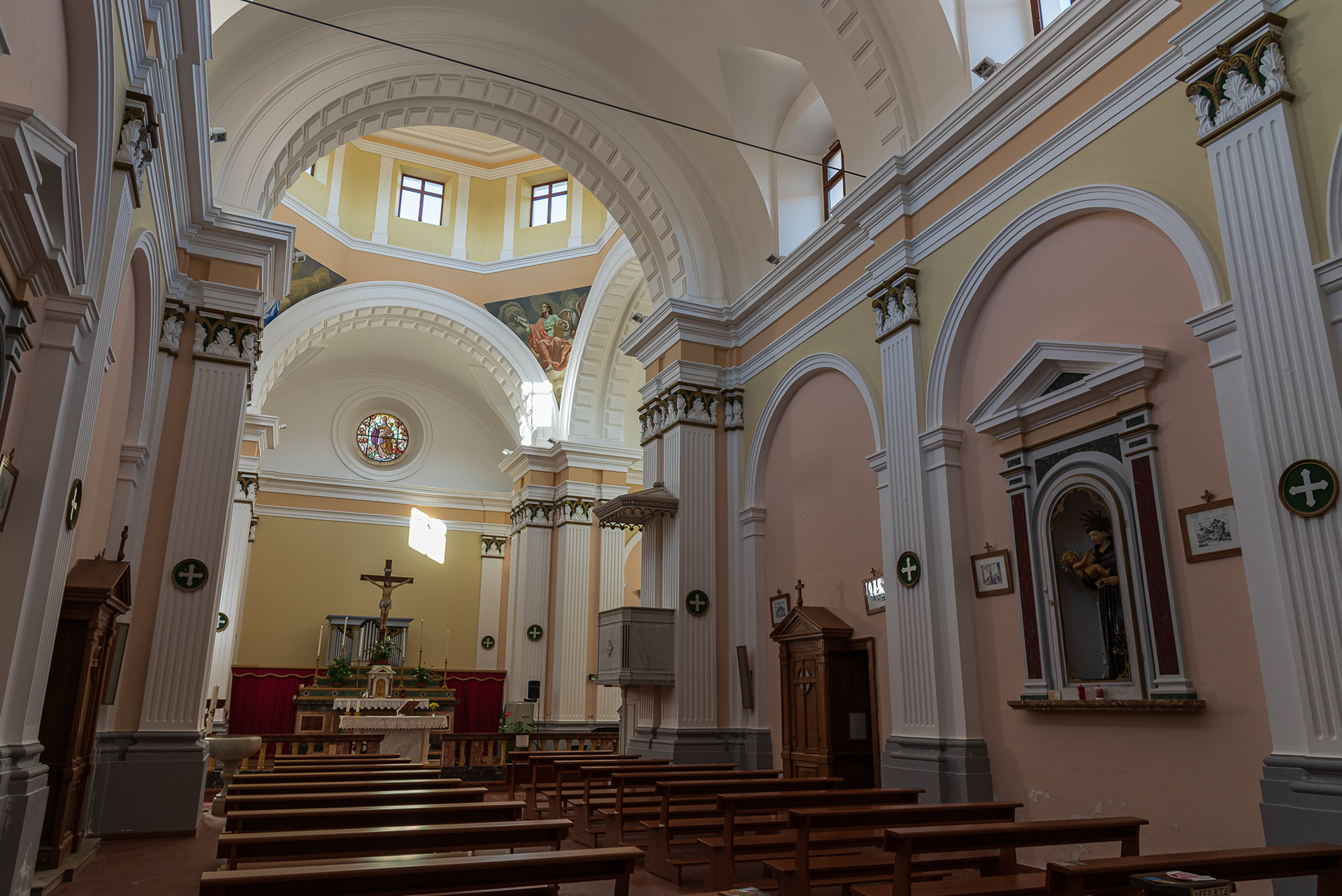
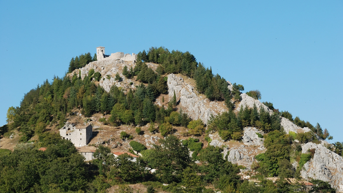
Colli a Volturno (Cuòglië in Molise) is an Italian town of 1 312 inhabitants in the province of Isernia in Molise. The municipal territory extends into the Volturno Valley on the border with the national park of Abruzzo, Lazio and Molise. Colli a Volturno (also called simply Colli), rises on three wooded hills, at an altitude of about 400 m a.s.l. (max. 1 013, min. 236 a.s.l.). The municipal area borders the municipalities of Fornelli, Rocchetta a Volturno, Montaquila, Scapoli, Cerro al Volturno, Macchia d'Isernia, Filignano and Monteroduni. 
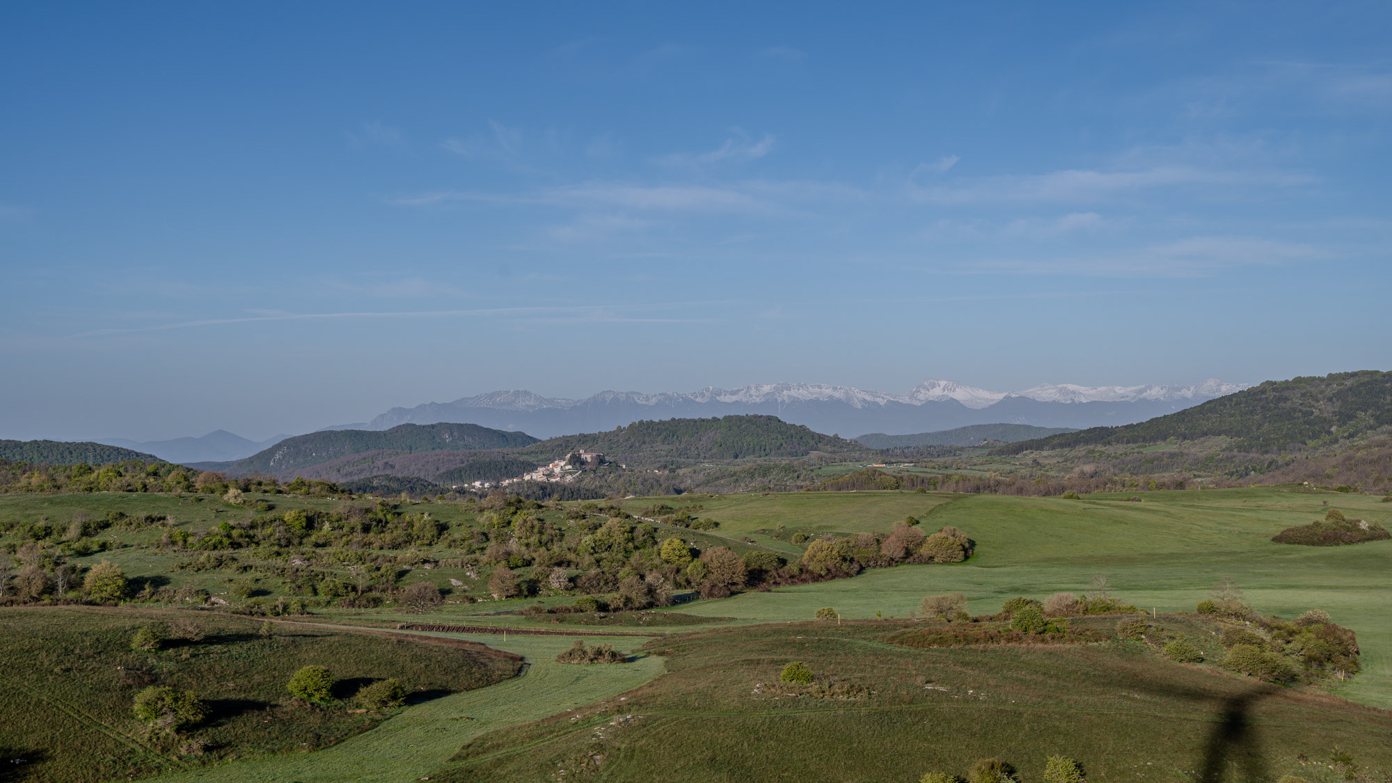
The Collese area, as the name suggests, is mainly hilly interspersed with wide flat spaces. The climate is mild, the average annual temperature is 18.2 ° C, the average rainfall is 862 mm. Summers are warm and temperate, winters are cold but not particularly harsh, sporadic snowfalls, exceptionally abundant those of February 1956, January 1985 and February 2012. In autumn, rainfall is abundant, in August, the hottest month. of the year, the average temperature is 22.4 ° C; in August 2017, an exceptional heat wave caused the mercury column to reach 43 ° C. January is the coldest month, with an average temperature of 5.4 ° C. The driest month is July with an average of 32mm of rain. The month of November is the one with the highest rainfall, having an average of 118 mm. Gusts of wind are not infrequent, even of particular intensity. Temperatures vary by around 17 ° C throughout the year.
2022
Castel San Vincenzo. The lake. Winter 2022
Castel San Vincenzo, Isernia, Molise, Italy. The lake. It is an artificial reservoir built at the end of the fifties for hydroelectric purposes. It occupies an area of 6.140 km². The lake of Castel San Vincenzo is an artificial reservoir built in the late 1950s for hydroelectric purposes. The lake occupies an area of 0.614 km² and has a useful capacity of 10 million cubic meters. The waters that feed the lake come mainly from the streams of the Montagna Spaccata in the nearby municipalities of Alfedena and Barrea. The waters of these streams feed the Enel power stations in Pizzone, Rocchetta a Volturno and Colli a Volturno. Although artificial, the lake is well harmonized with the surrounding landscape of mountains and woods. The aquatic fauna consists mainly of salmonids. Near the lake, where it is possible to engage in fishing and other water sports, there is an area equipped for camping and a riding stable.
2020
Carpinone. Il Castello
The Castle of Carpinone was probably built in the Norman period and from the time of its construction until the end of the thirteenth century the building was repeatedly enlarged and equipped with greater fortifications to become one of the strongholds of Tommaso da Celano. In 1223, on the basis of an edict issued by Frederick II of Swabia, the castle was destroyed by Ruggiero di Pescolanciano. It was then rebuilt during the 14th century by the d'Evoli family and during the 15th century it returned to its former glory thanks to the commitment of Giacomo Caldora. The last family that bought the fiefdom, that of the de Riso, maintained it until the abolition of feudalism, in 1806. In 1954 the notary Valente, one of the last owners, had the entire main floor and the second floor rebuilt, adapting them to new housing needs. Currently the castle is presented, with its three surviving towers, in a state of evident majesty.
2017
Mainarde - Monte Meta
Il monte Meta (nota anche come la Meta, 2241 m s.l.m) è una delle maggiori cime dell'appennino abruzzese, situata sul confine tra Lazio, Abruzzo e Molise, all'interno del Parco nazionale d'Abruzzo, Lazio e Molise, tra i comuni di Alfedena (AQ), Picinisco (provincia di Frosinone) e Pizzone (provincia di Isernia). Dà il nome all'omonima catena montuosa dei Monti della Meta, compresi all'interno dei Monti Marsicani, che dal valico di Forca d'Acero procede verso la valle di Comino meridionale e digrada nelle valli del Liri e del Volturnoprendendo il nome di Mainarde nelle cime più basse e più meridionali. Ai suoi piedi si trova il passo dei Monaci (1981 m s.l.m.)). La cima del monte Meta era stata interdetta agli escursionisti perché protetta dalla riserva integrale del parco nazionale d'Abruzzo, per le notevoli presenze di camosci d'Abruzzo, recentemente però (estate 2010) è stato momentaneamente aperto un prolungamento del sentiero L1 che porta fino alla cima a 2241 metri. Diversi sentieri portano alla Meta partendo dal Pianoro Le Forme (Pizzone) a 1380 metri. Le montagne più alte oltre al Monte Meta (Monte Petroso 2247 s.l.m., Monte Cavallo 2039 s.l.m., Monte Mare 2020 s.l.m.) presentano vistose tracce di glacialismo quaternario; nelle valli che si sviluppano all'interno della catena montuosa sorgono copiose le acque del fiume Melfa e Mollarino in provincia di Frosinone, del Rio Torto in provincia dell'Aquila. Dalle cime la vista spazia su tutti i Monti Marsicani, la Majella e i Monti del Matese. I rilievi più bassi dello stesso massiccio, al confine tra Lazio e Molise sono storicamente detti Mainarde; sono le montagne in cui la presenza dell'uomo per il clima meno rigido era stanziale (abitazioni e coltivi in quota) e non stagionale e pastorale come per i Monti della Meta. Non è definito un confine geologico preciso tra le due catene montuose: è certo solo che le Mainarde non rientrano nel territorio regionale dell'Abruzzo, ma molti le ritengono del Molise. L'uso tradizionale dell'oronimo è riproposto nelle carte dell'Istituto Geografico Militare che lo applica ai rilievi più esterni dei Monti della Meta, quelli che dal Monte Cavallo e dal Monte Mare degradano progressivamente verso Vallerotonda (FR) e la valle del fiume Rapido-Gari e verso Scapoli (IS) e Filignano (IS) e la valle del fiume Volturno che ivi nasce. Settore Mainarde è il nome che le amministrazioni del Parco nazionale d'Abruzzo, Lazio e Molise danno alla parte del territorio della riserva in provincia di Isernia, che comprende i territori di Castel San Vincenzo, Pizzone, Rocchetta al Volturno, Scapoli, inclusi nel 1990. L'etimologia è oscura, sembra ricordare un nome proprio germanico.
Back to Top