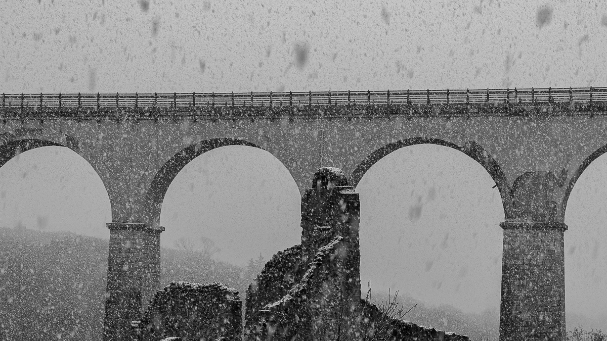
You may also like

2021
Autumnal landscape of Molise
2018
Molise - S. Angelo in Grotte (IS)
2021
Termoli, la Cattedrale di S. Maria della Purificazione
Di notevole interesse architettonico è la cattedrale in stile romanico pugliese dove sono conservati i corpi dei santi patroni della città, Basso e Timoteo. Costruita nel punto più alto del promontorio termolese, ha uno sviluppo longitudinale ed è divisa in tre navate. È difficile stabilire la data di costruzione della basilica; alcuni elementi, però, farebbero pensare alla presenza di una cattedrale già nel IX-X secolo. La facciata della chiesa può essere idealmente (e anche materialmente) divisa in due parti: quella inferiore e quella superiore in netto contrasto tra loro.
2015
Molise - Pietrabbondante (IS) Il Teatro Italico
Il teatro e tempio italico di Pietrabbondante fanno parte di una vasta area archeologica ricadente nel territorio comunale di Pietrabbondante, in provincia di Isernia, nella regione Molise. Ubicati a circa m. 966 di altitudine s.l.m. essi occupano un ripido declivio che si affaccia sulla valle del Trigno, in località Calcatello, a circa un chilometro di distanza, in linea d'aria, dalla vetta del monte Saraceno. La zona non è attraversata da alcun tracciato stradale di grande comunicazione; sono individuabili tracce di un antico sentiero esistente tra il moderno abitato di Pietrabbondante ed il vicino monte Saraceno, già praticato in antico, una direttrice stradale che ancora oggi segue l’andamento del ripido pendio e, costeggiando il lato orientale del monte, rappresenta l’unica via di accesso all'area fortificata posta in vetta. L’area sacra rappresenta, per le sue caratteristiche architettoniche e per la sua monumentalità, la testimonianza archeologica di maggior rilievo della cultura della popolazione italica dei Samnites Pentri, e la sua esplorazione sistematica ha consentito di ricostruire le vicende storiche del territorio attraverso i secoli ed ha fornito una quantità rilevante di dati sul più importante luogo di culto dello stato sannitico.
2022
Molise, Italy. Glimpses of summer
Molise is an Italian mountainous region with a stretch of coast overlooking the Adriatic Sea. It includes a part of the Abruzzo National Park in the Apennine mountain range, with a rich wildlife.
2023
Vastogirardi, novembre 2023
Physical geography It is located at 1200 m above sea level. in the part of Molise bordering Abruzzo. The territory of Vastogirardi (IS) extends over an area of 60.72 km² and borders the municipalities of Capracotta to the north, San Pietro Avellana, Castel di Sangro (AQ) and Rionero Sannitico to the west, Forlì del Sannio, Roccasicura and Carovilli to the south, Agnone to the east. From a morphological point of view, the territory is separated from that of Capracotta by reliefs of Monte Capraro, which oscillate between 1300 - 1350 m, which descend steeply to Piano S. Angelo and Difesa Grande and Capo di Trigno (ancient lake basin ) at an altitude of 1100 m from which the Trigno river originates, one of the two most important Molise rivers which flows into the Adriatic Sea and gives its name to the road of the same name which reaches up to San Salvo (CH), i.e. the Trignina. To the west are the mountains of Montagnola (1292 m) and Monte Miglio (1350 m), to the south is Monte Pizzi (1373 m), while to the east are the mountains of Montagna Fiorita with Montarone (1278 m). Vastogirardi develops close to a hill at the top of which are the castle and the ecclesiastical complex of San Nicola di Bari. Inside the walls is the village, which appears well preserved in its original defense function, as evidenced by the cylindrical towers incorporated in factories and the supports between building blocks. The result of subsequent expansions, the churches of S. Rocco and S. Maria delle Grazie were built at the beginning of the 18th century and incorporated into the third urban expansion dating back to the 18th - 19th century. Over the course of the last century the town no longer followed the aggregation trend of stepped bands, according to the morphological trend of the site, but developed along via Garibaldi c.da Difensa (towards Castel di Sangro) and via Re d'Italia (direction Isernia). Origins of the name It is assumed that the name Vastogirardi originates from the name of a crusader captain, Giusto Girardi. In the past it also took the name of Castrum Girardi due to the castle (other attested toponyms are Castel Girardo, Rocca Girardo, Guasti Belardi, Guardia Giraldo and Guardia Gerardo) and subsequently its current name, deriving from an alliteration of Lombard jargon.
2023
Pietrabbondante. Panorama
2022
Molise, Italy. Landscape on a late summer afternoon
Molise is an Italian mountainous region with a stretch of coast overlooking the Adriatic Sea. It includes a part of the Abruzzo National Park in the Apennine mountain range, with a rich wildlife.
2018
Boiano (CB)
Bojano è un comune italiano di 8 097 abitanti della provincia di Campobasso. Importante città dei Sanniti, fu conquistata dai Romani nel III secolo a.C. a seguito della battaglia di Boviano. Nel VI secolo vi fu fondata la diocesi, collegata a Campobasso; facente parte del Ducato di Benevento, nel XIII secolo divenne la capitale del ducato omonimo, per poi entrare a far parte del Contado di Molise. Divenuta possesso dei vari signori campani Pandone, Carafa, De Capua, Bojano attraversò duri periodi a seguito del terremoto del 1805 prima, e della seconda guerra mondiale poi.
2022
Capracotta. Parish Church of S. Maria in Cielo Assunta
It is located on the highest part of the town, in the Terra Vecchia district, and was the seat of the collegiate church. It is not known what the current church was like, which is the result of a total renovation in 1725. The antiquity of the church is testified by a bas-relief of the bell tower, which bears the symbol of the Tree of Life, from the Renaissance period, the adjacent walls, with the portal of the chapel of the Visitation, show holes for the bells. The stone bell tower, with a square plan, has its current appearance, the result of the restoration of 1898. The baptismal font in walnut wood, with gold decorations, restored in 1980, and a stone font can also be attributed to the archaic church. In the 18th century the civic coat of arms was moved to the main altar by the Town Hall, and the church became the symbol of the entire Capracottese community.
Back to Top