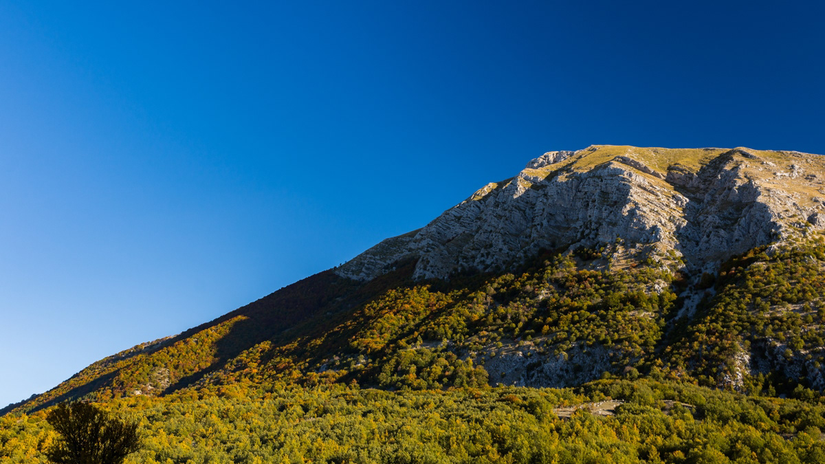
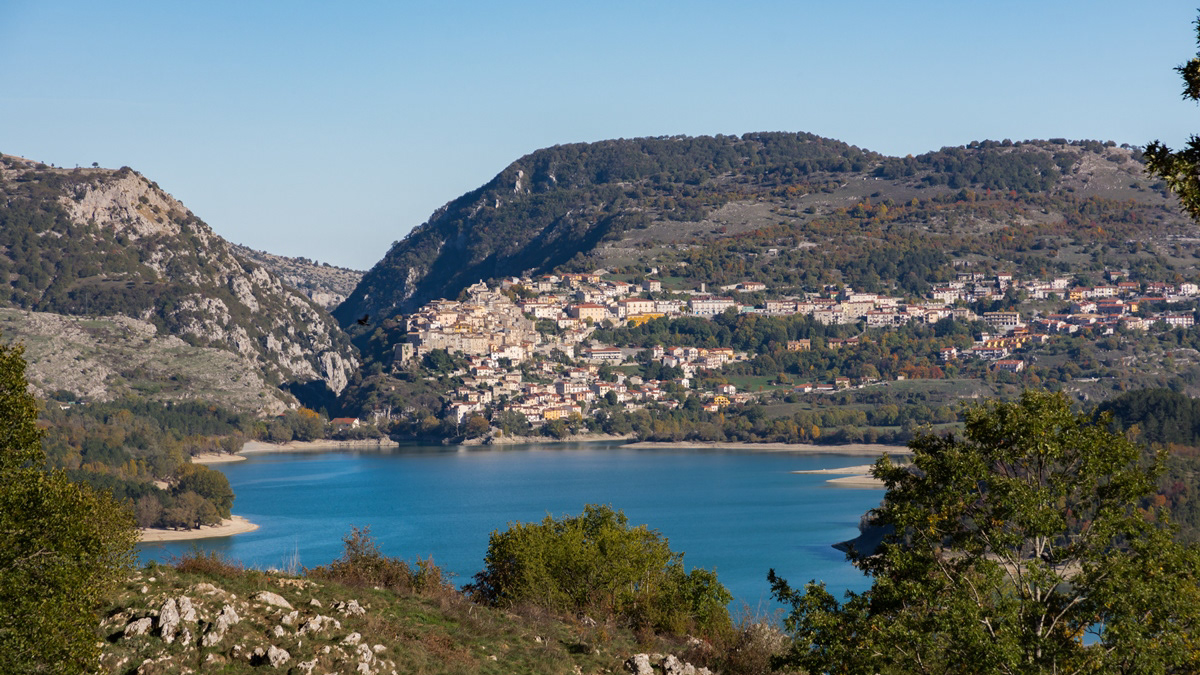
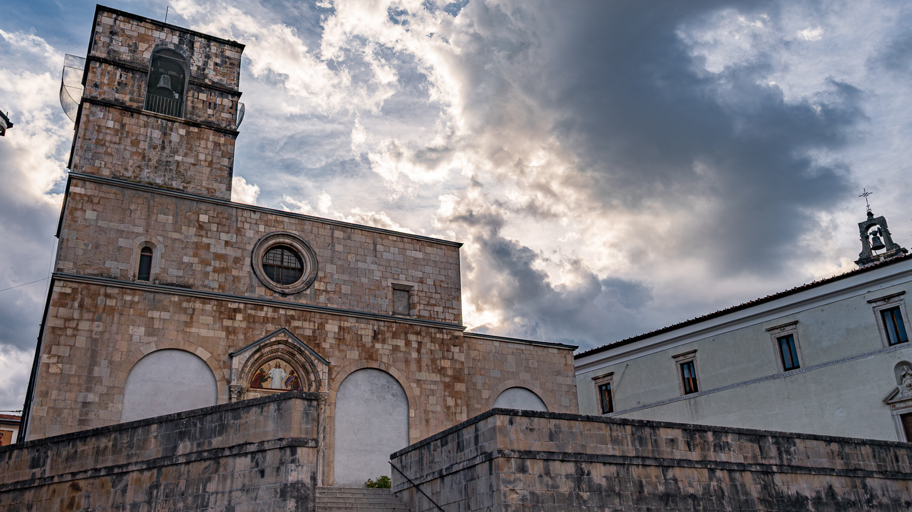
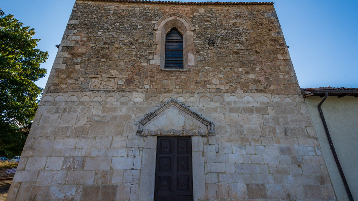
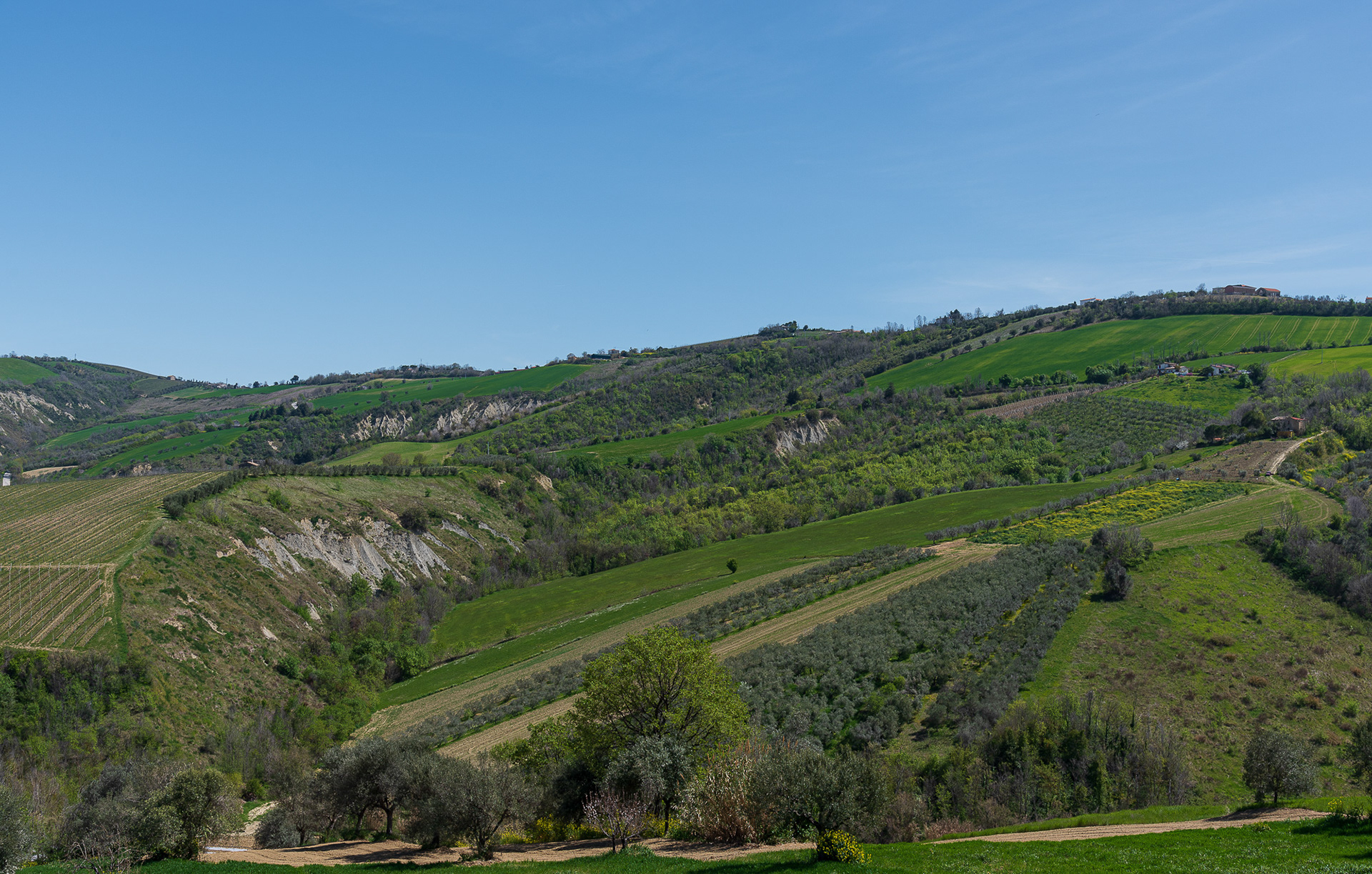
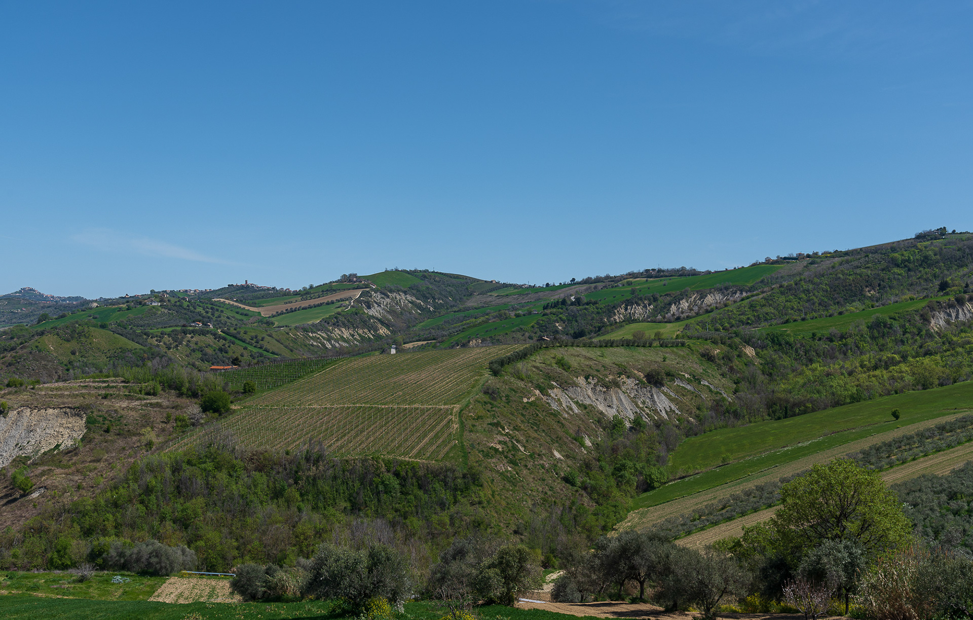
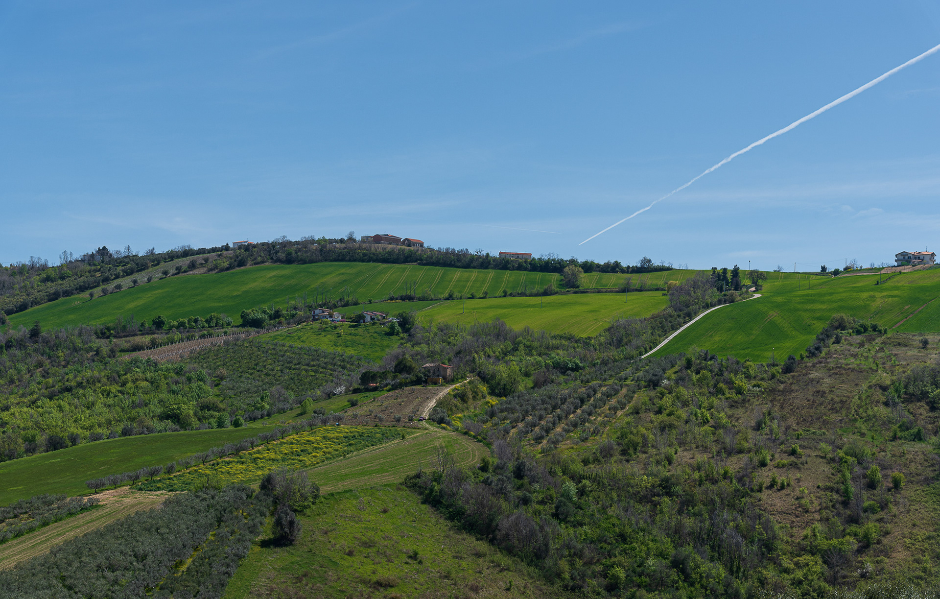
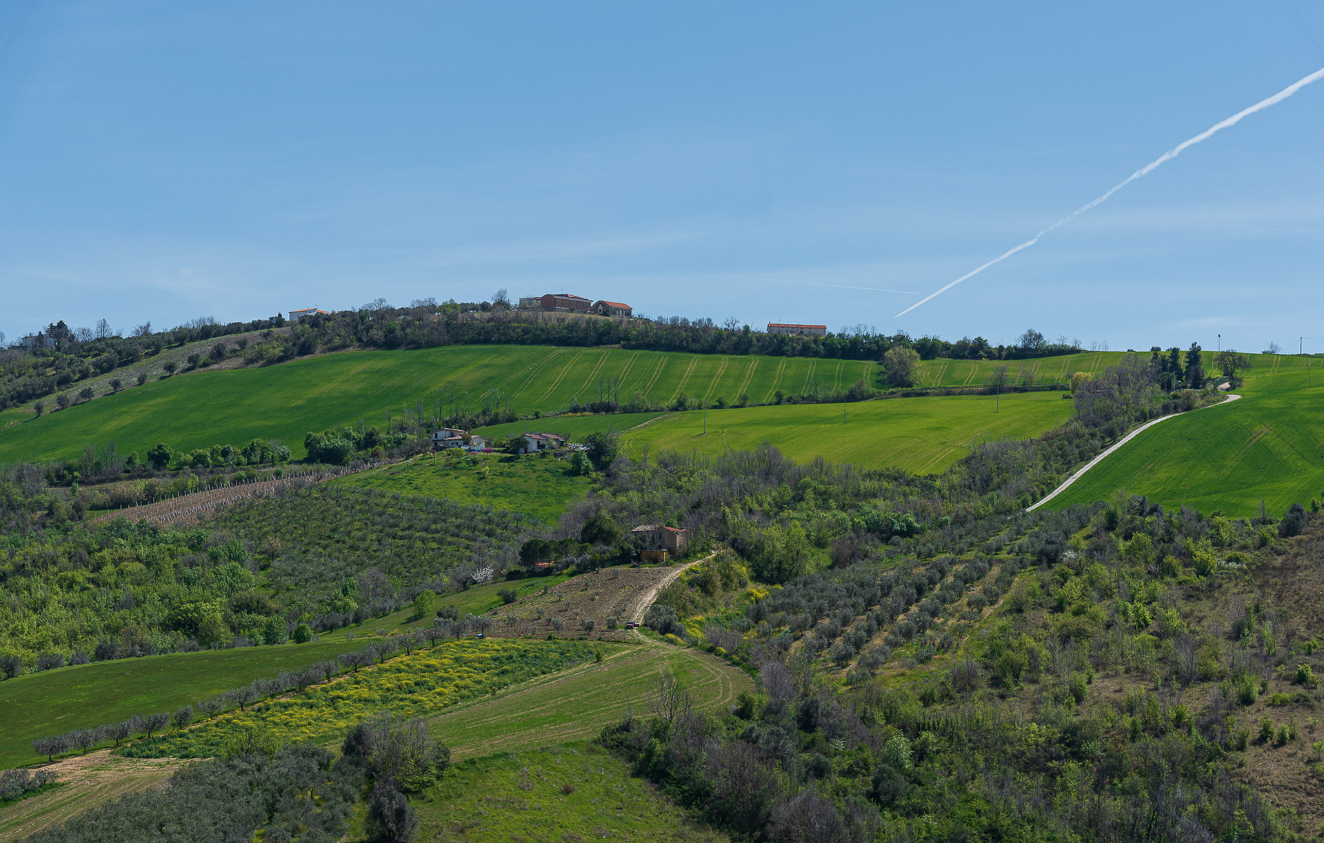
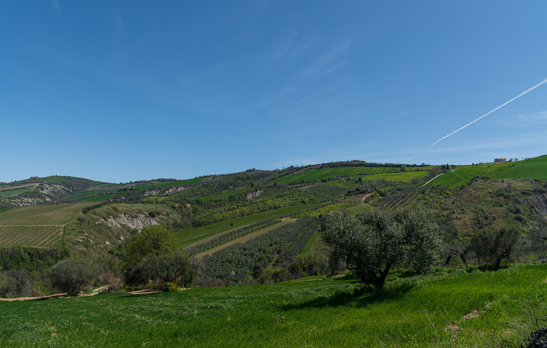
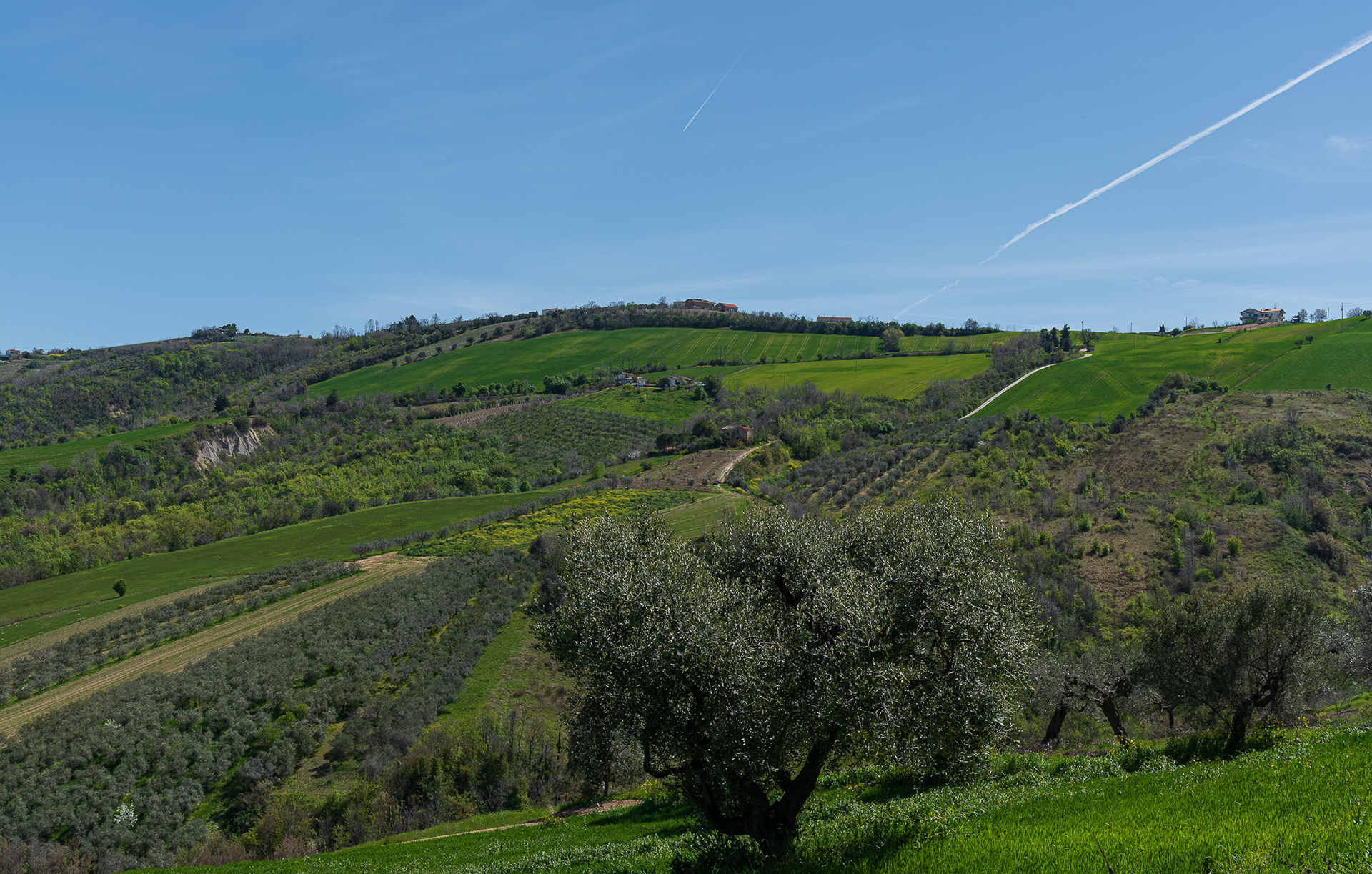
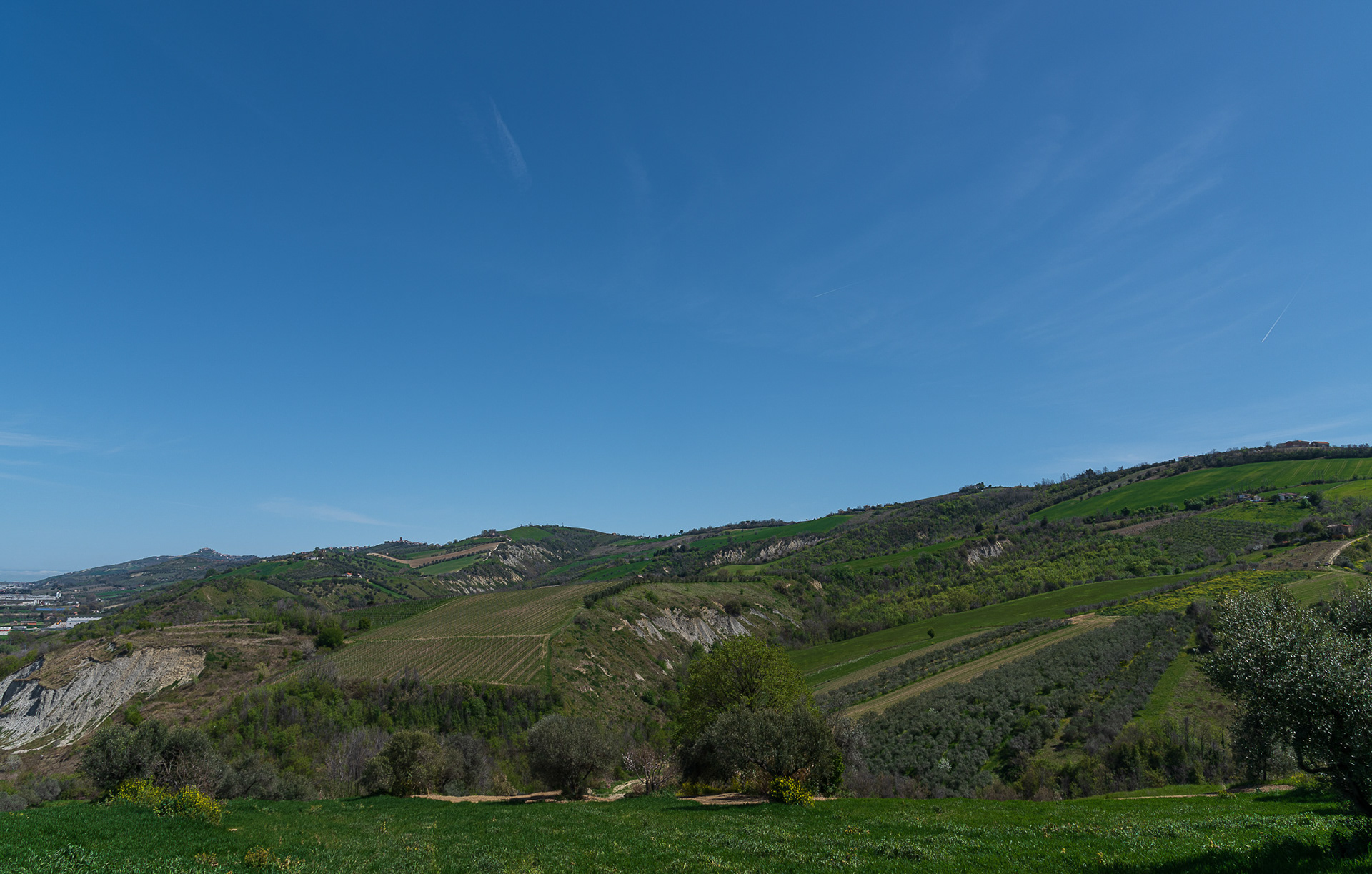
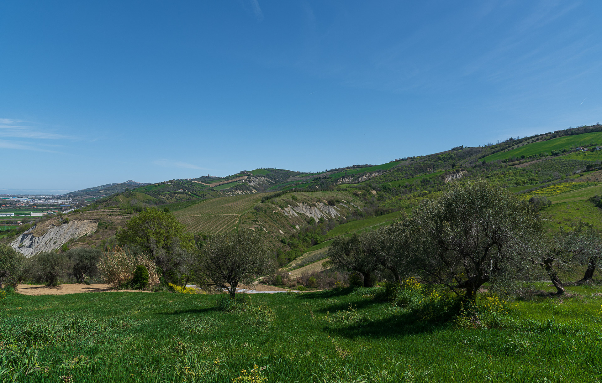
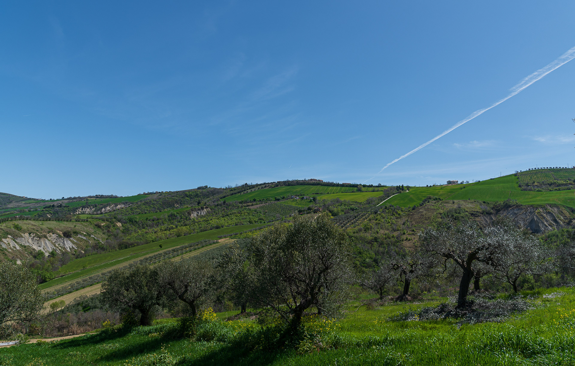
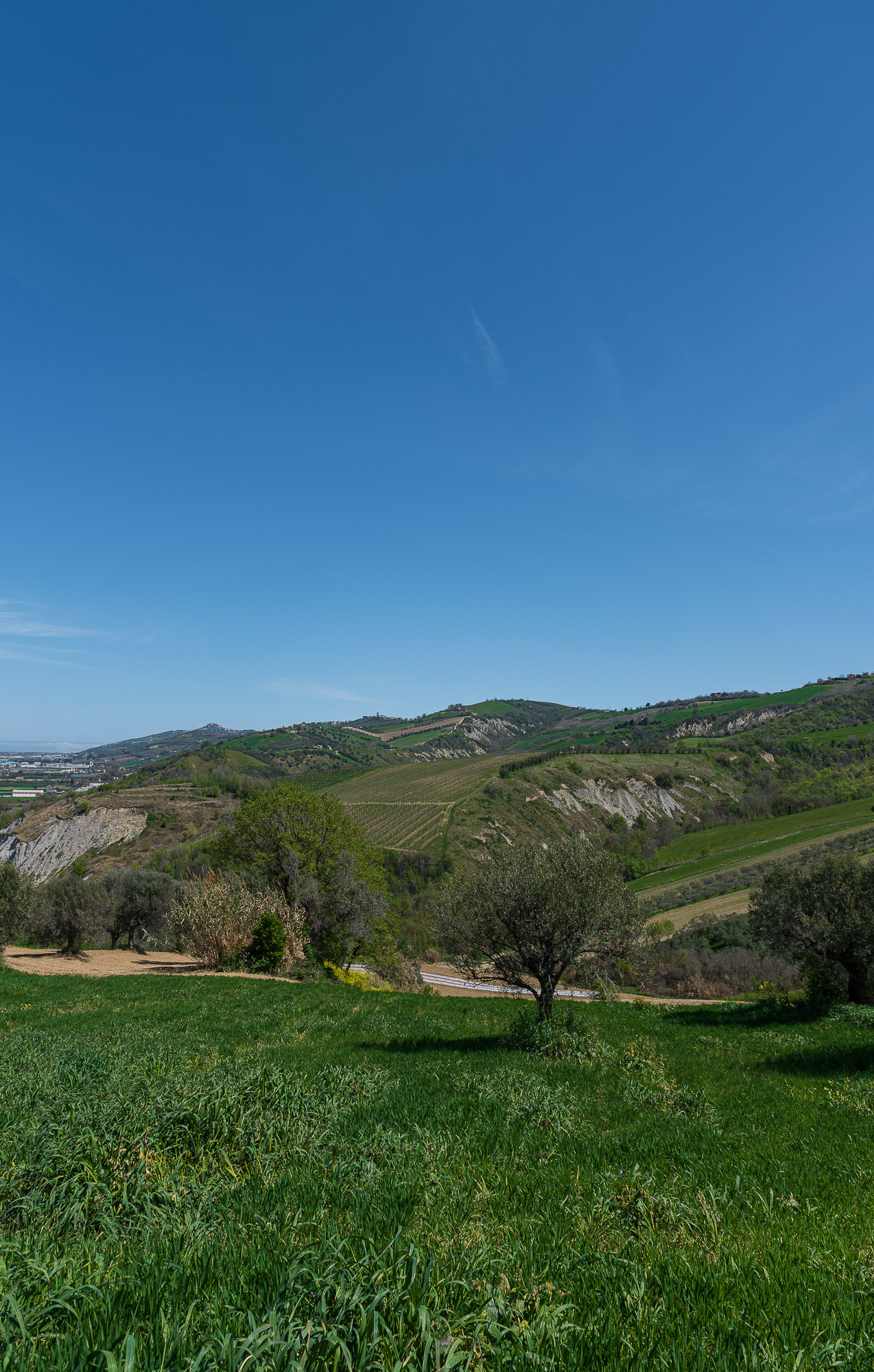
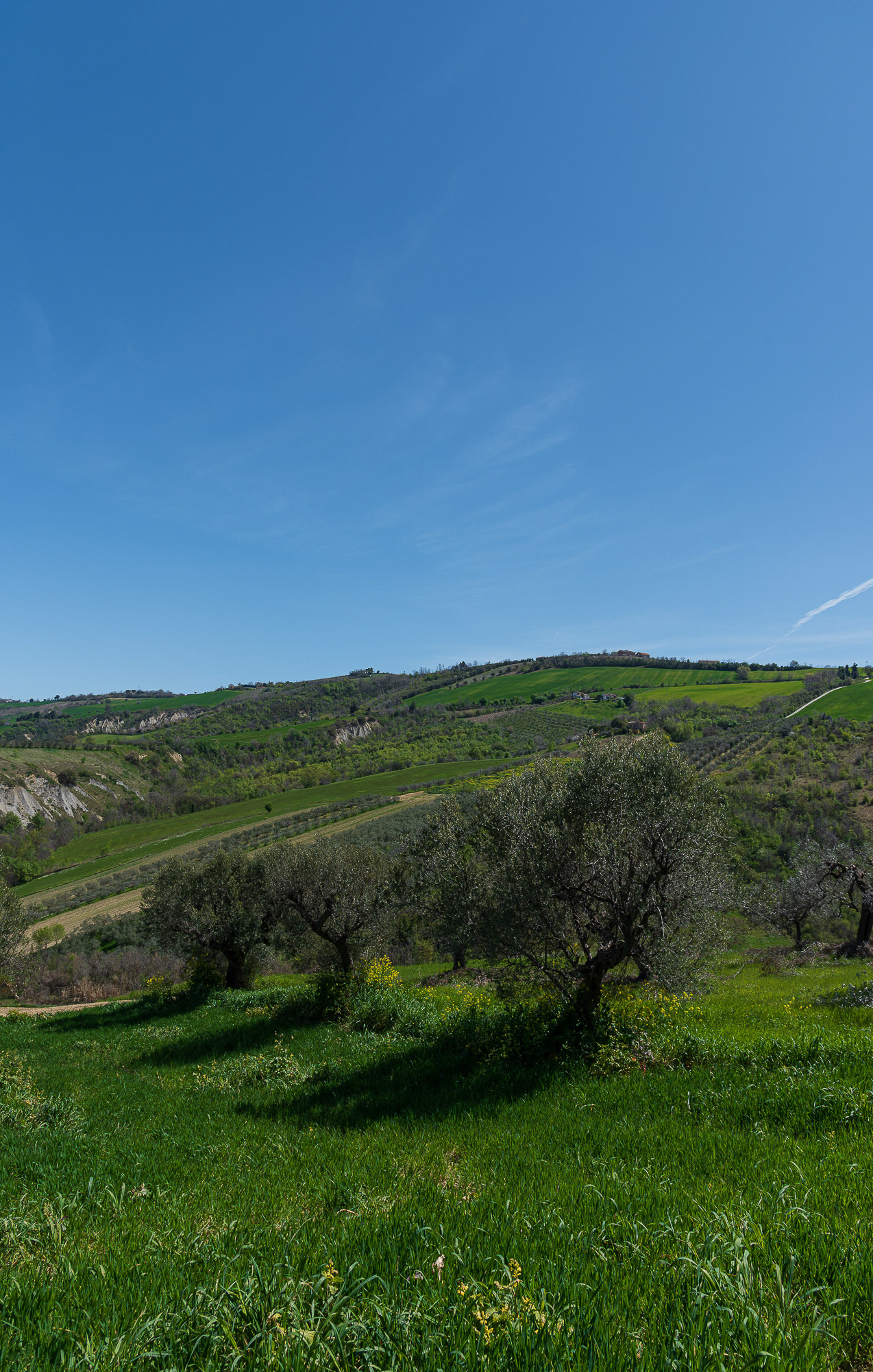
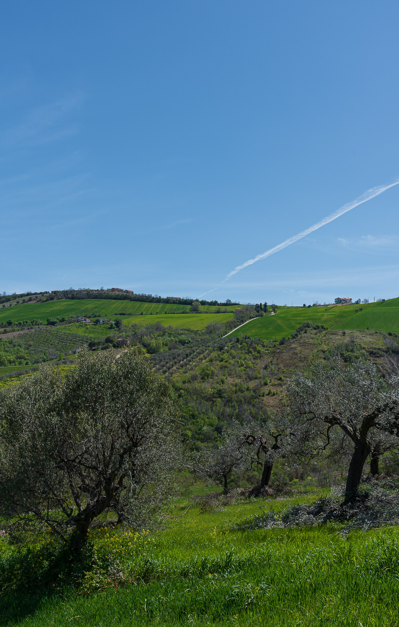
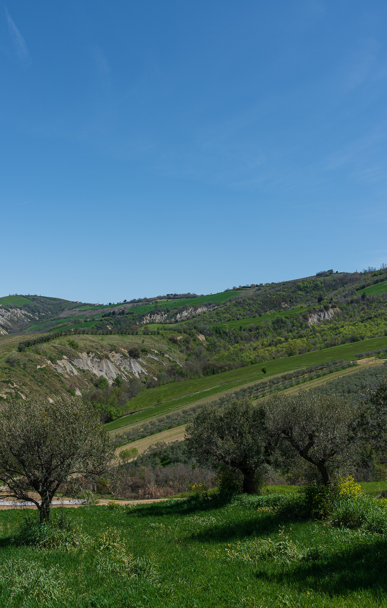
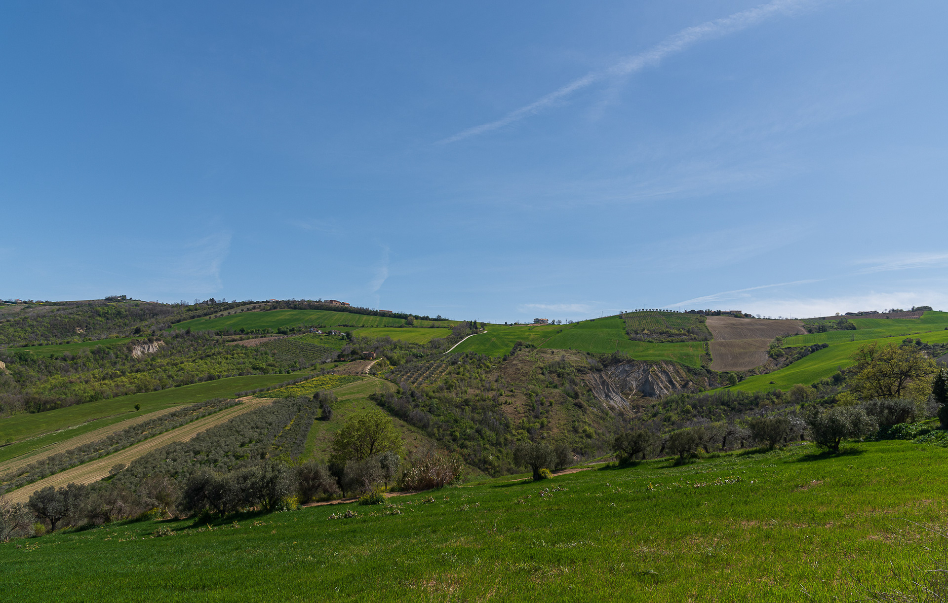
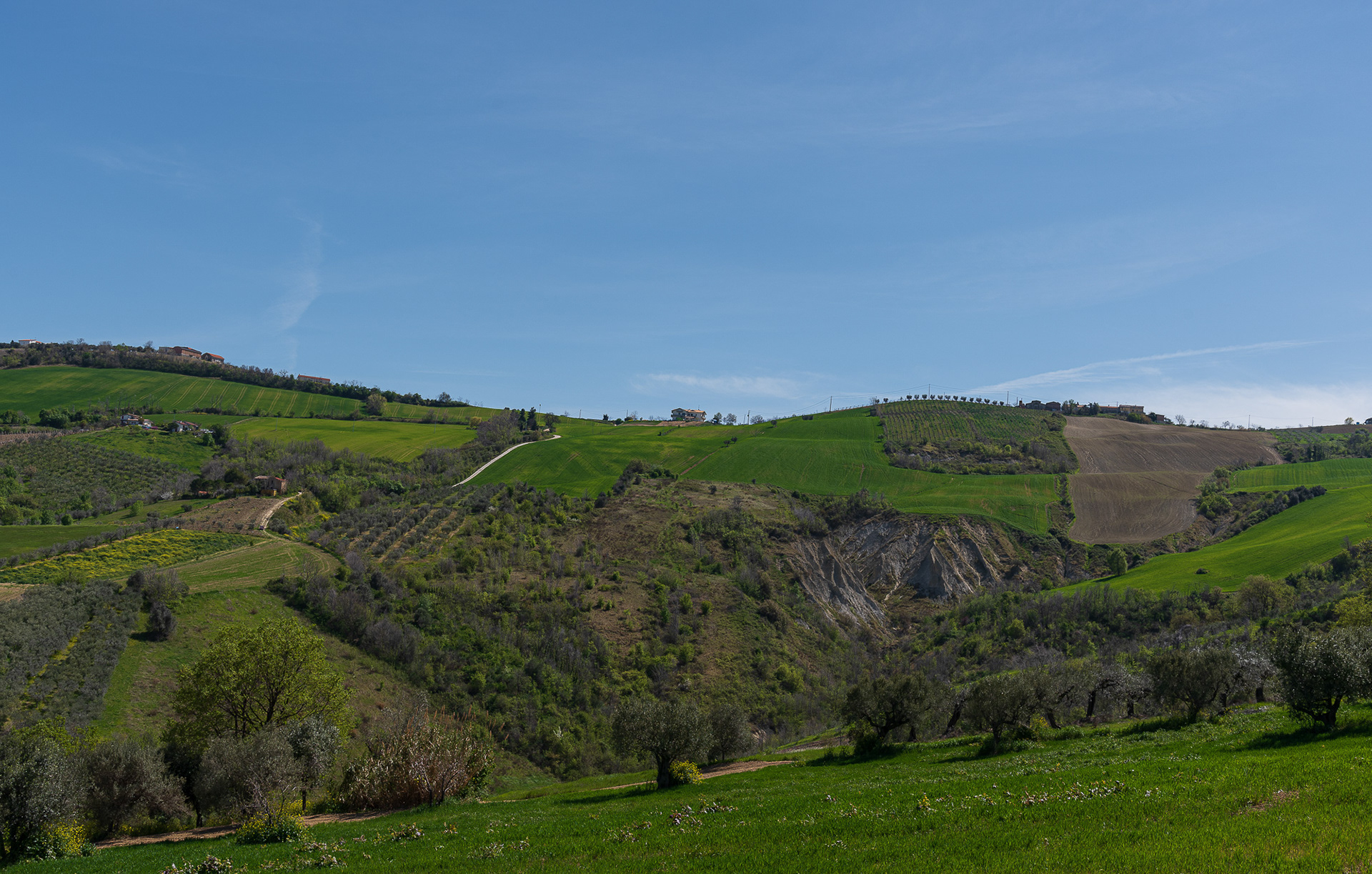
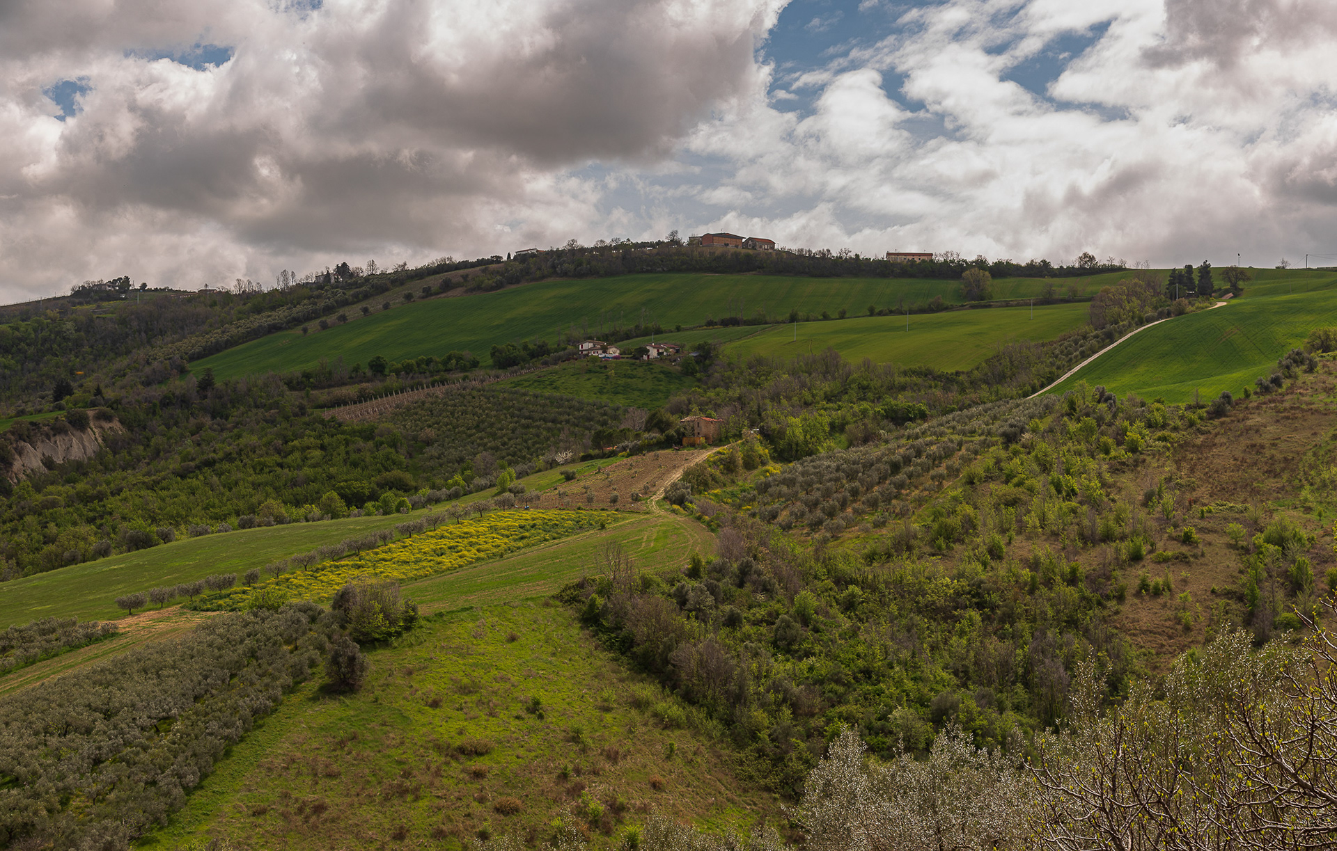
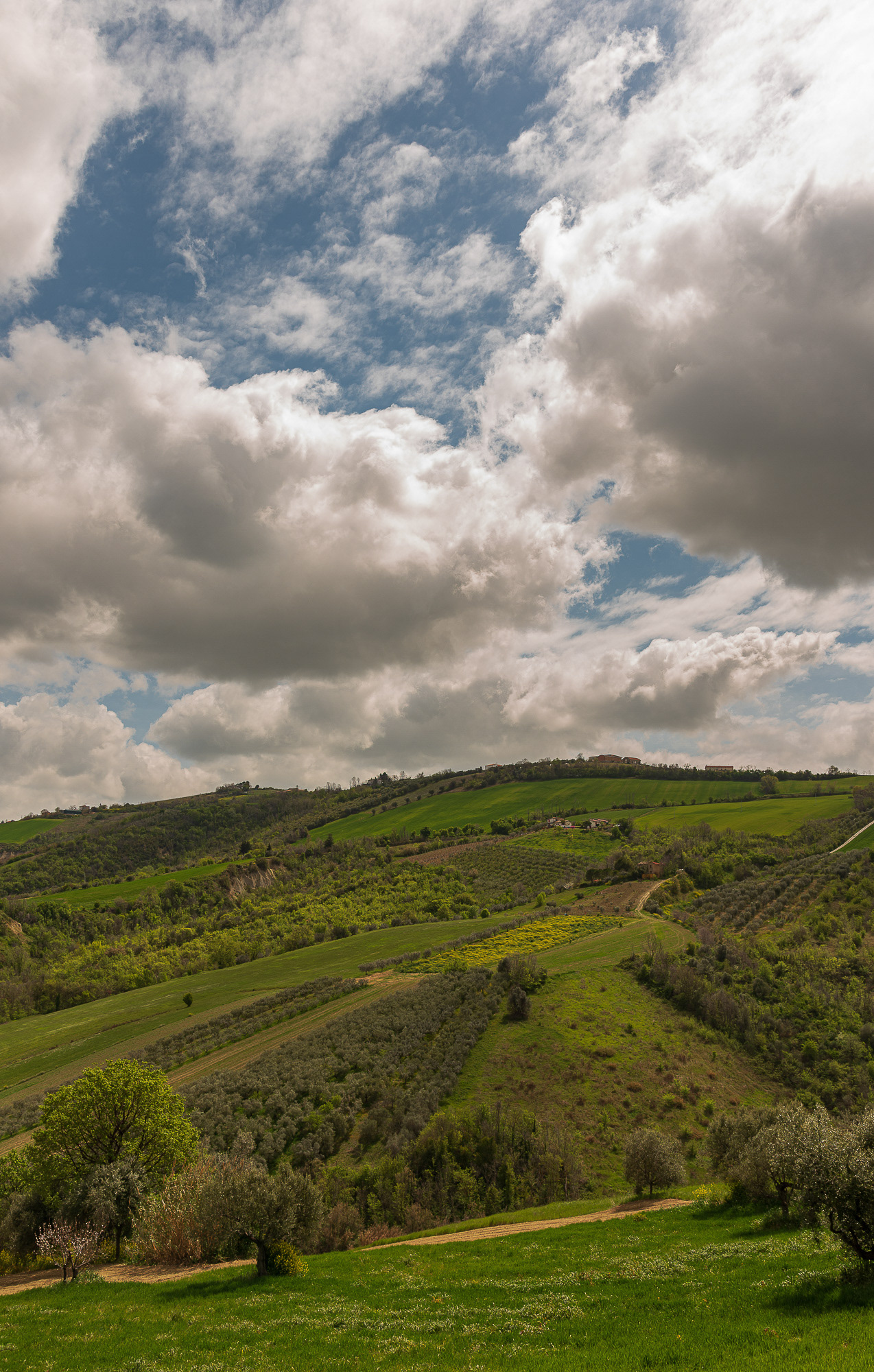
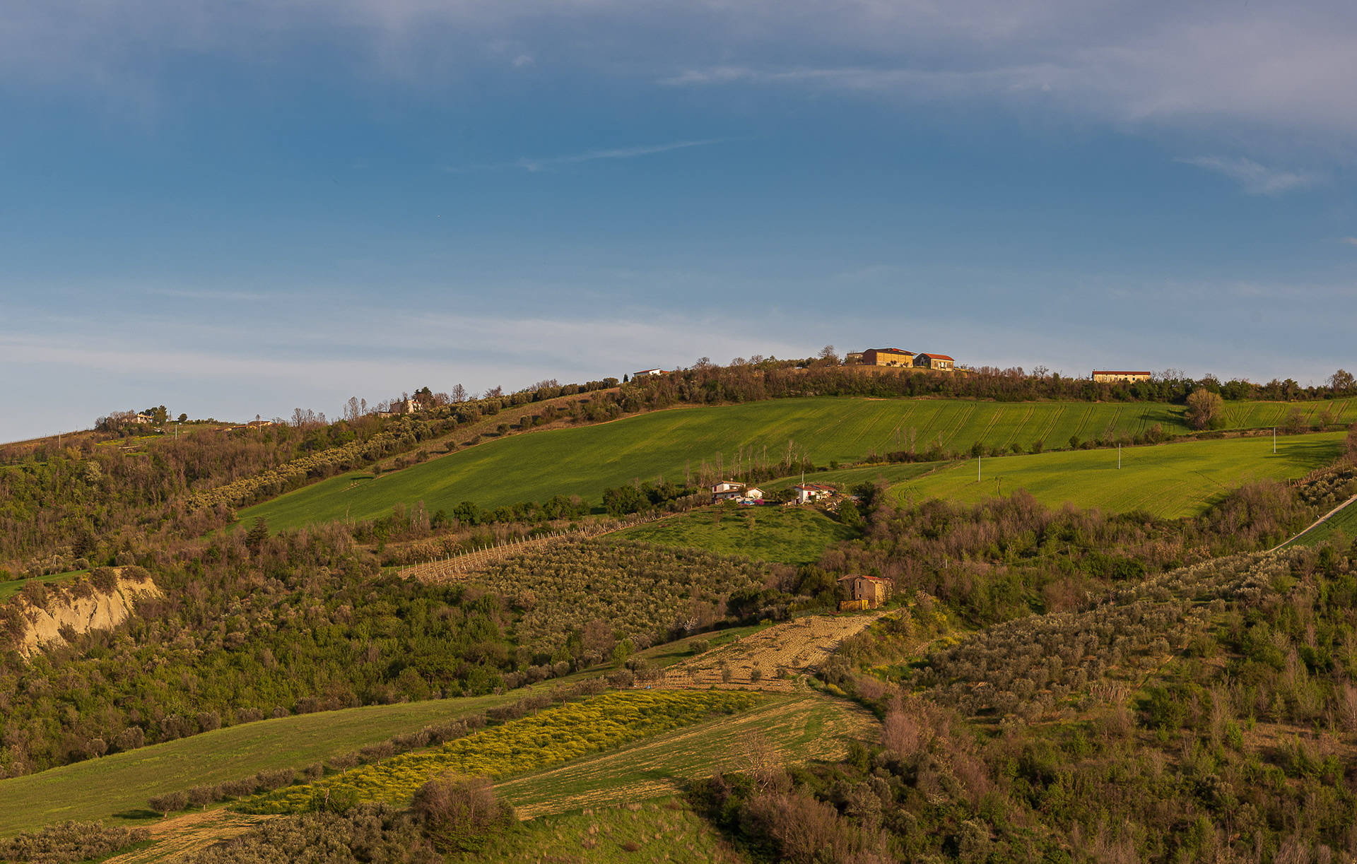
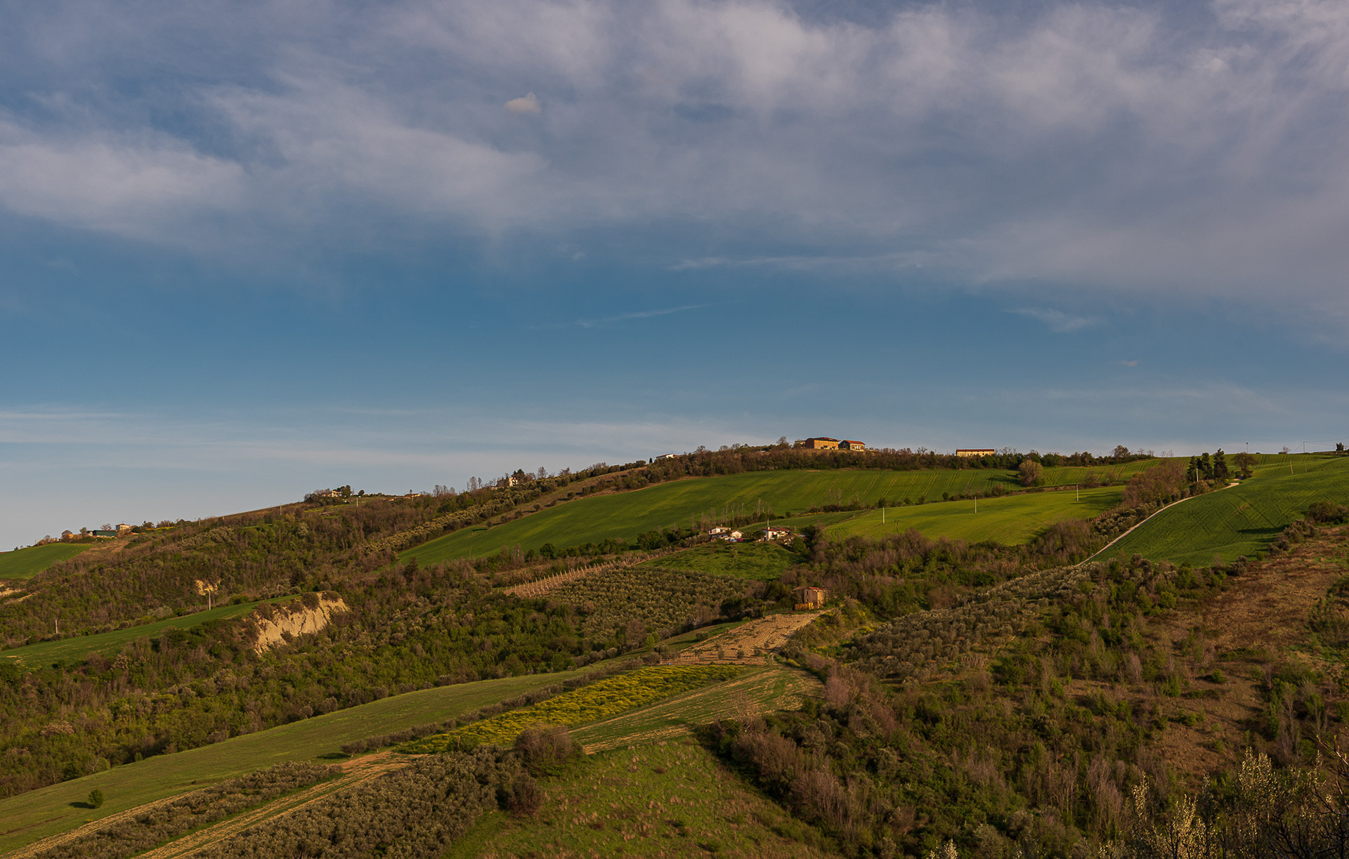
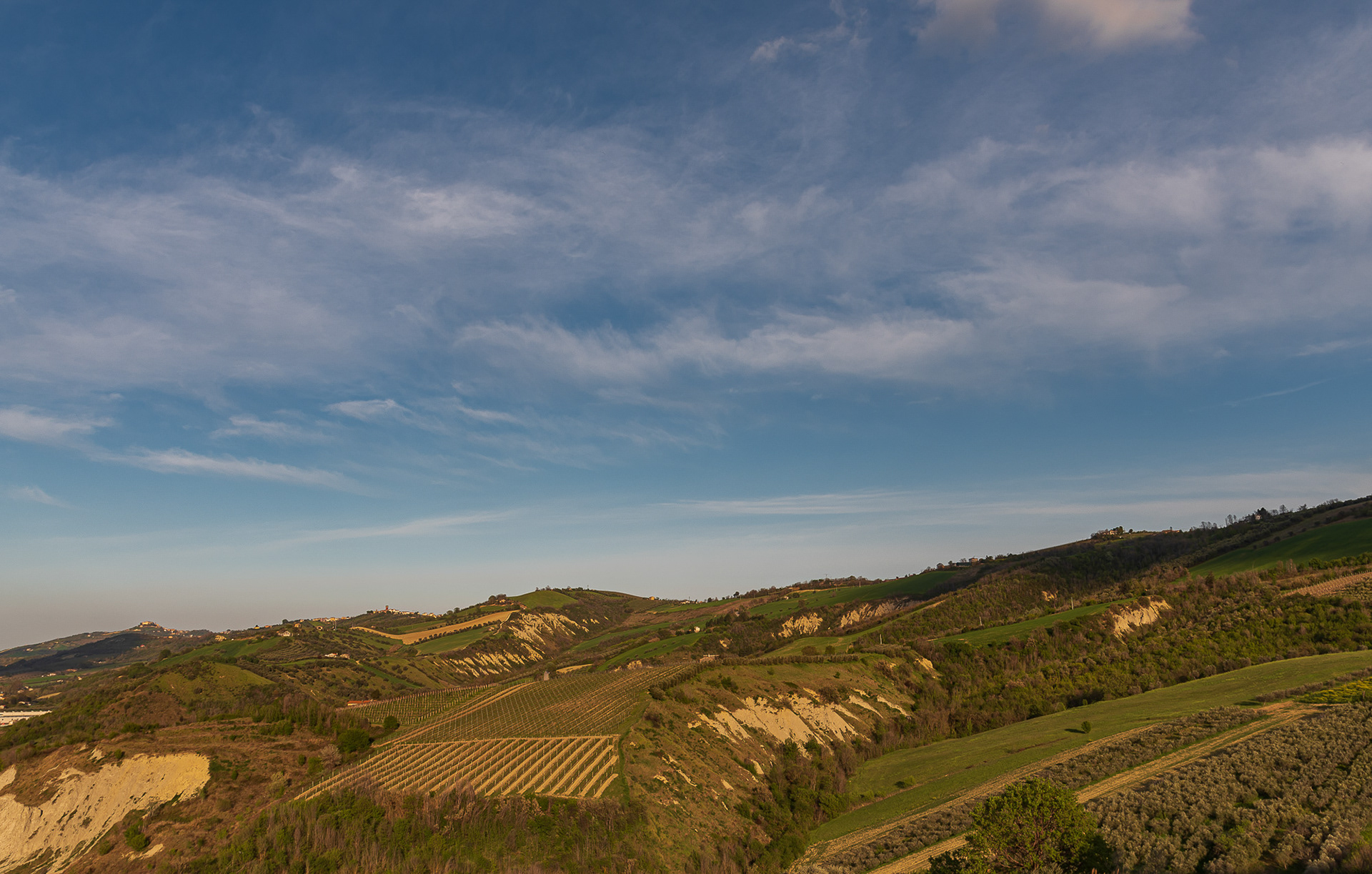
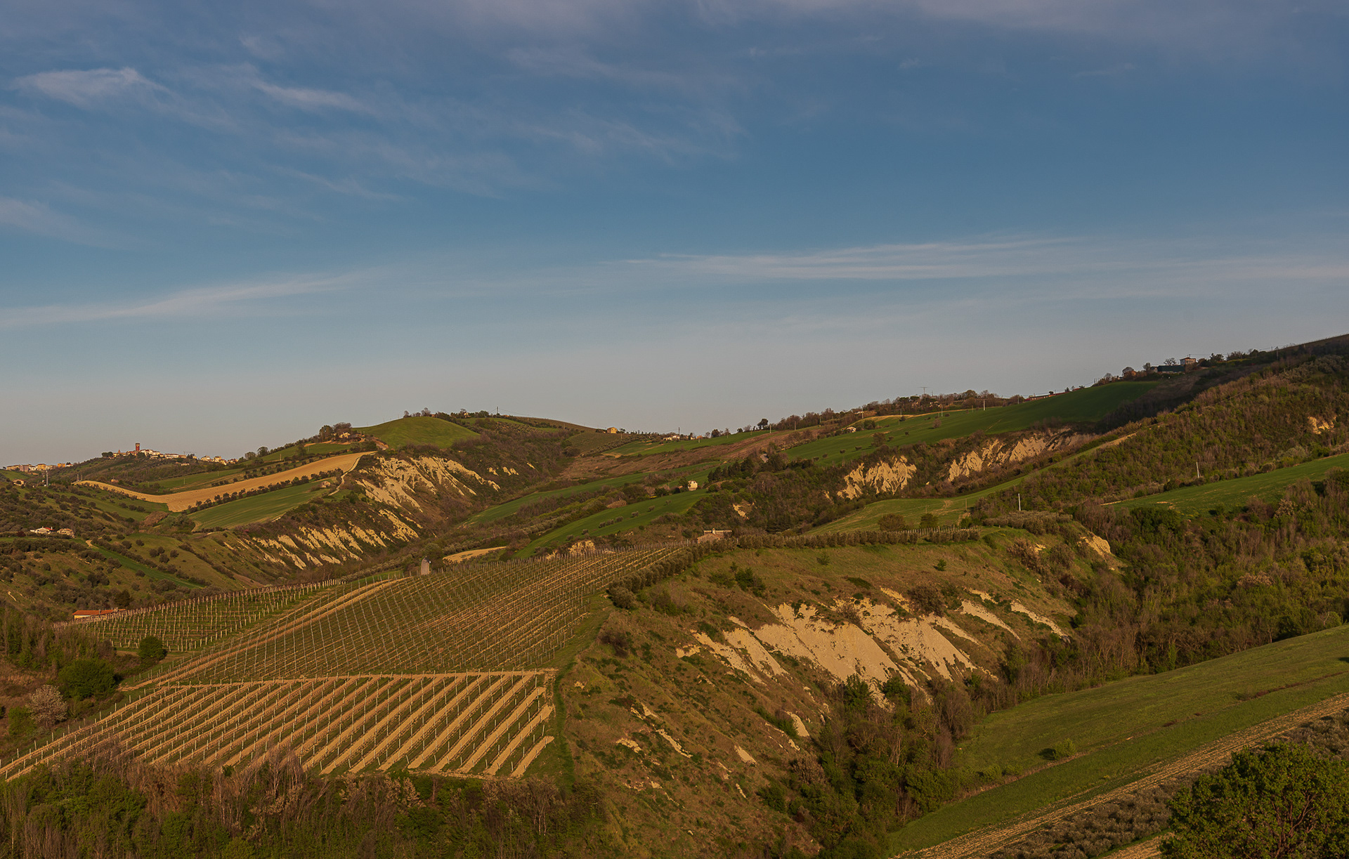
You may also like

2025
Crecchio. The Ducal Castle De Riseis-D'Aragona
The castle is composed of four corner towers that enclose as many buildings. It is surrounded by a perimeter of walls that also enclose a garden.
2018
Barrea and its lake (AQ)
Barrea is located in a mountainous area overlooking the Sangro Valley and the Barrea Lake. The inhabited center, located at an altitude of 1,060 m a.s.l., occupies a ledge at the eastern end of the lake enclosed by the steep sides of the Meta mountains to the south and Mount Greco to the north. Its territory is included in the national park of Abruzzo, Lazio and Molise. The lake was formed in 1951 by the damming of the Sangro river and is used for the production of electricity. The Wetland of Lake Barrea, managed by the Abruzzo, Lazio and Molise National Park Authority, has been on the list of areas provided for by the Ramsar Convention since 1976.
2024
Celano. The Piccolomini Castle
The Piccolomini Castle of Celano overlooks the Fucino plain, once occupied by the third largest lake in Italy, majestically and imposingly.
2024
Castel Castagna. The church of Santa Maria di Ronzano
The church of Santa Maria di Ronzano stands on a hill in the Mavone valley. The building belonged to the abbey monastic complex of the Benedictine order who also had the convent here.
2025
Ortona. Basilica of St. Thomas the Apostle
The Cathedral Basilica dedicated to St. Thomas the Apostle was built on the site of an ancient Roman temple. Destroyed by the Normans in 1060, it was rebuilt.
2017
Mainarde
Mountain range which, compared to the Abruzzo National Park, extends from north to south and whose crests delimit the border between Lazio (west) and Molise (east). Due to its importance both from a naturalistic and faunistic point of view, the mountain range was inserted by presidential decree in the Abruzzo National Park in January 1990. It includes high altitude peaks that are around 2000 meters: Monte Meta (2241), Monte Metuccia, Coste dell'Altare, Monte Mare (2020), Monte Cavallo (2039), Monte Forcellone (2030). The Mainarde, like the rest of the Apennine mountains, are very ancient and of limestone origin. On them the erosion of winds and waters has left clear traces in gorges, gullies and beautiful potholes of the giants, the latter very clearly visible by anyone who looks out from the viewpoint of San Michele. Covered by dense arboreal vegetation (beech groves) up to an altitude of 1800-1900 meters, the Mainarde - beyond this altitude - offer a spectacular turf, ideal habitat for particular types of endangered fauna such as the Abruzzo chamois the Marsican brown bear, the Apennine wolf and the lynx.
2023
Fara San Martino. The Gorges of San Martino
the Gole di San Martino opens with a narrow passage from the high rocky walls on the eastern slope of the Maiella, just outside the town of Fara. This is the beginning of the gorge-like valley that leads to the highest peak of the Maiella, Monte Amaro (2793 m), and includes the wildest territories of the entire massif with a 14 km long route and a difference in height of 2300 m . It can be divided into three parts: the Valle di S. Spirito, the Valle di Macchia Lunga and the Val Cannella. The latter ends with a glacial cirque in the center of which is the Manzini refuge. According to popular tradition, these suggestive gorges, just 2 m wide and about 30 m long, were opened by San Martino with the strength of his arms to allow the people of Fares to access the high pastures of the Majella more quickly. After walking a few meters, you can see the monastery of San Martino in Valle which an archaeological excavation has recently brought to light. In reality, this remarkable scenario was produced by the erosive and incessant action of the torrential waters coming from the melting of the surrounding snowfields during the Quaternary, in particular during the glaciations. With an evident franapoggio stratification that highlights the oldest terms as you go up, the oldest rocks of the Maiella emerge here, represented by beige-hazelnut platform limestones dating back to the lower Cretaceous. They contain fossil remains of algae and benthic foraminifera. Near the monastery, it is possible to observe an outcrop full of rudists, lamellibranchs who build cliffs now extinct but clearly visible in Maiella on Cima Murelle.
2017
P.N.A.L.M. - Part I
The National Park of Abruzzo, Lazio and Molise is a national park including for the most part (about 3/4) in the province of L'Aquila in Abruzzo and for the remainder in that of Frosinone in Lazio and in that of Isernia in Molise. It was inaugurated on 9 September 1922 in Pescasseroli, the current headquarters and central management of the park, while the body of the same name had already been established on 25 November 1921 with a provisional directorate. Its establishment took place officially with the Royal decree-law of 11 January 1923.
2020
L'Aquila. Basilica of San Bernardino - 2019
The church of San Bernardino is located at the end of the homonymous and scenic staircase, in the historic center of L'Aquila, about 600 m from the Spanish Fort. The construction of a church that worthily guarded the remains of San Bernardino da Siena (1380-1444) - the persuasive preacher of the Order of the Friars Minor who died in L'Aquila and proclaimed a saint in 1450 - was strongly desired by the influential friar Giovanni da Capistrano. At first the conventual friars opposed the construction of the church, however the works were started and completed between 1454 and 1472. The earthquake of 1703 seriously damaged the church, which was renovated according to the stylistic and architectural methods of the time. In 1946, at the behest of Pope Pius XII, the church received the honorary title of minor basilica.
2016
The Lake of Scanno (AQ)
Lake Scanno, belonging for three quarters to the municipality of Villalago and for a quarter to that of Scanno, is located in Abruzzo, in the lower province of L'Aquila, between the Marsicani Mountains, in the upper valley of the Sagittario river, which originated for a ancient landslide that broke off from Mount Genzana above, between 12,820 and 3,000 years ago, which blocked the river Tasso.
Back to Top