2022
Cerro al Volturno. Winter 2022
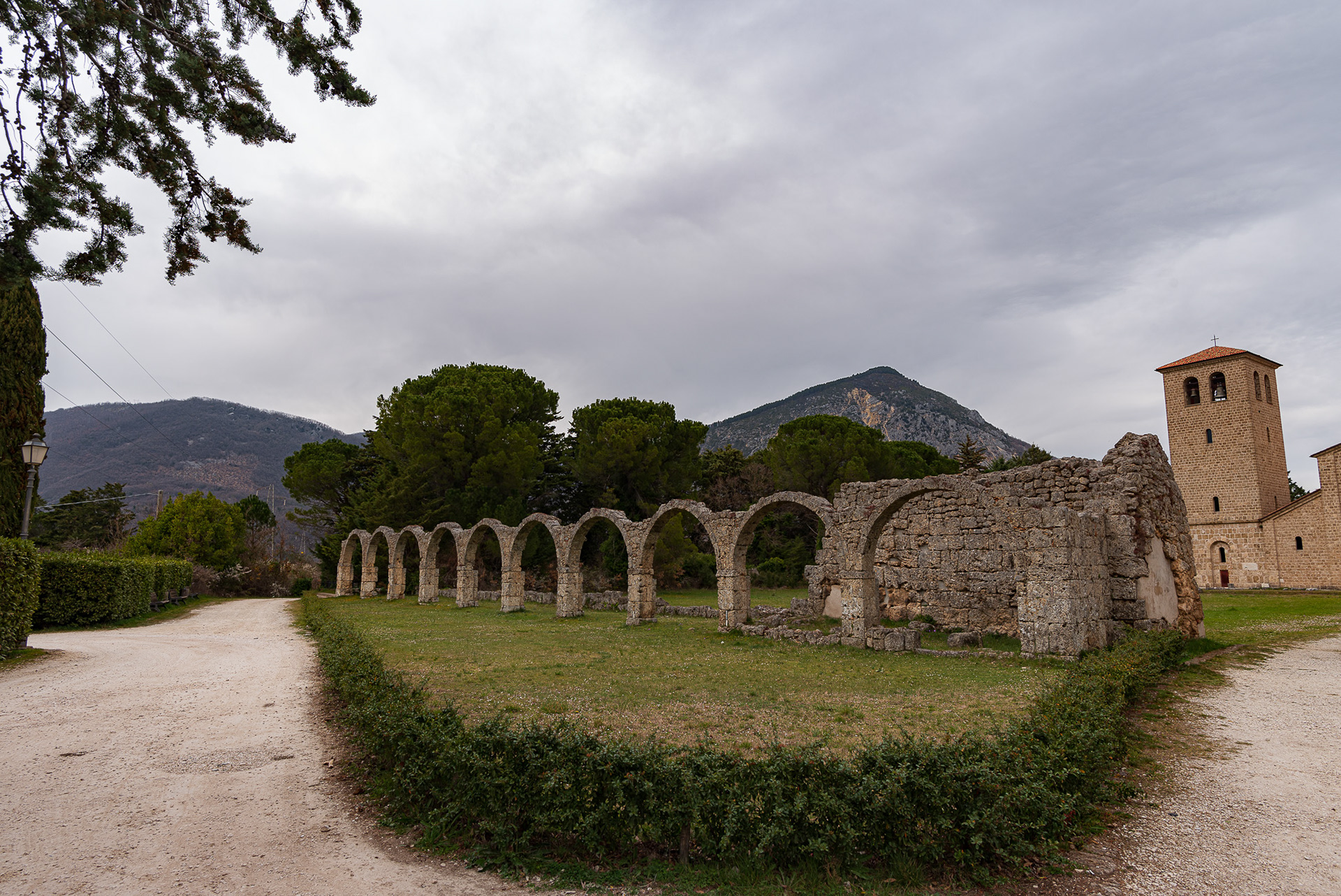
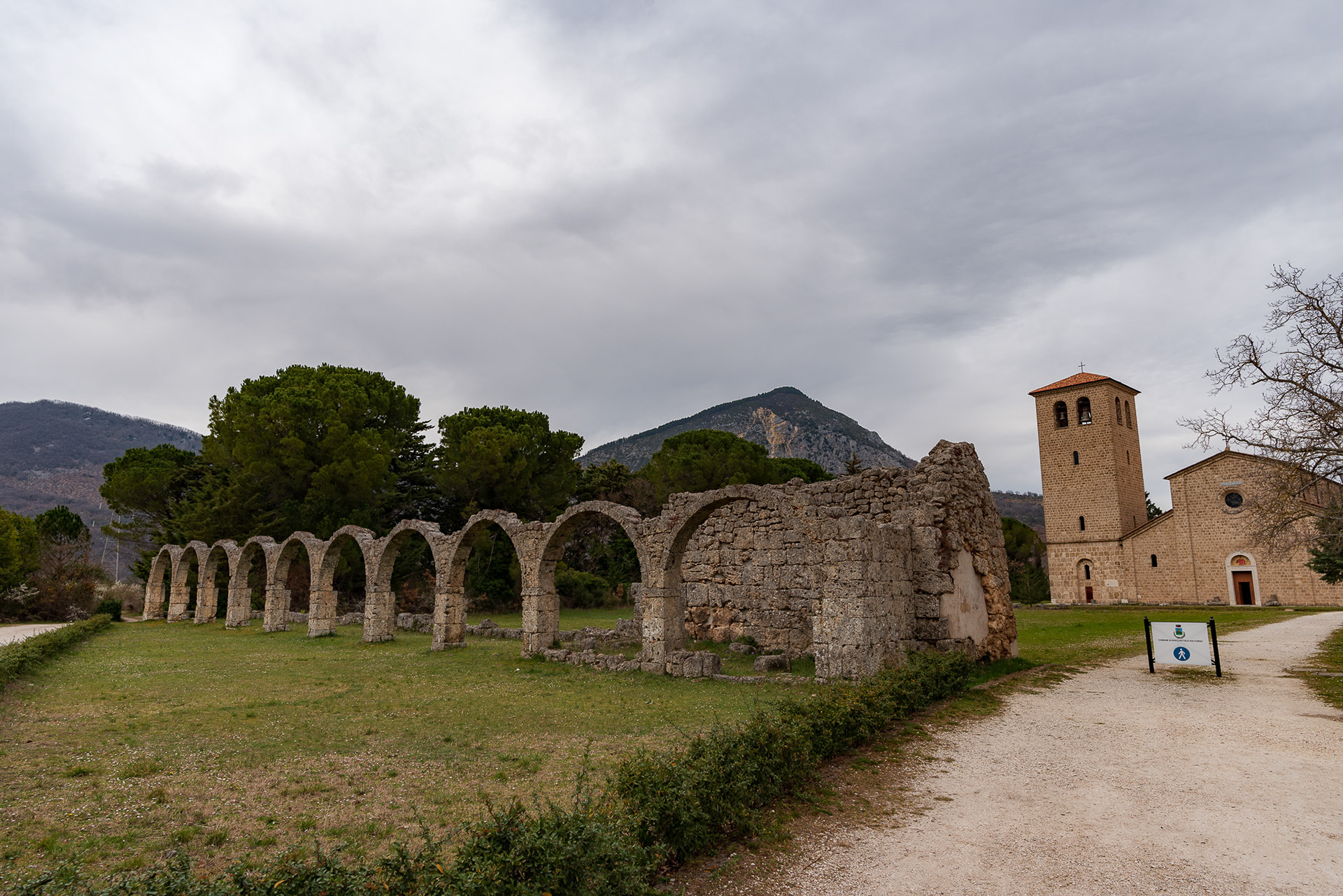
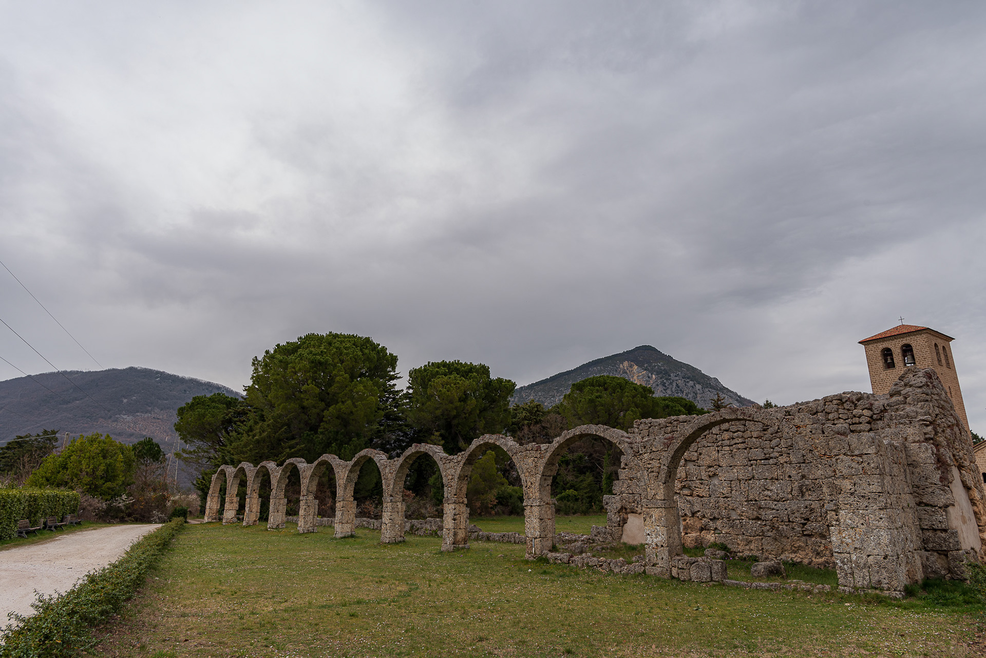
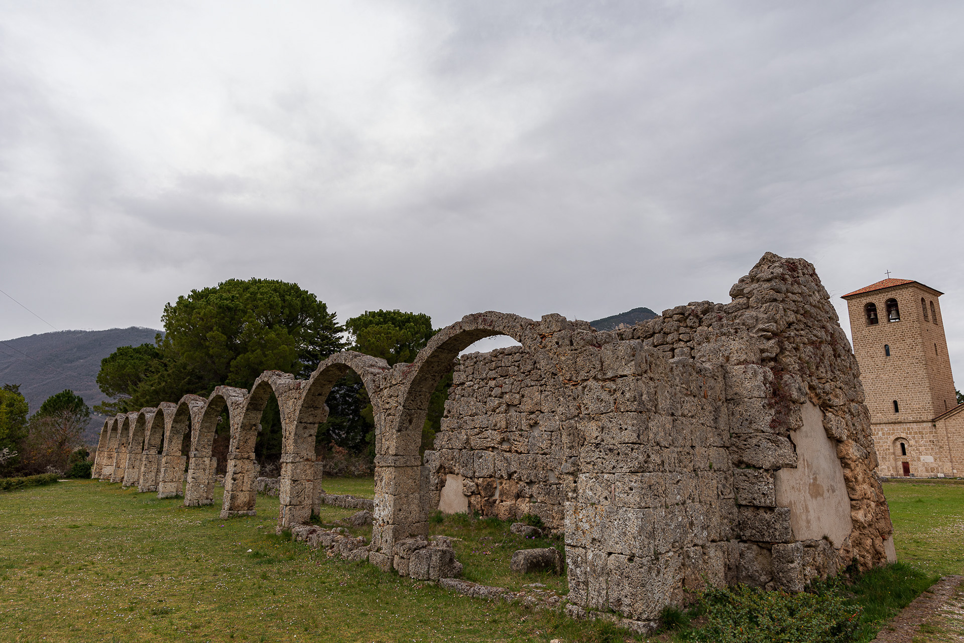
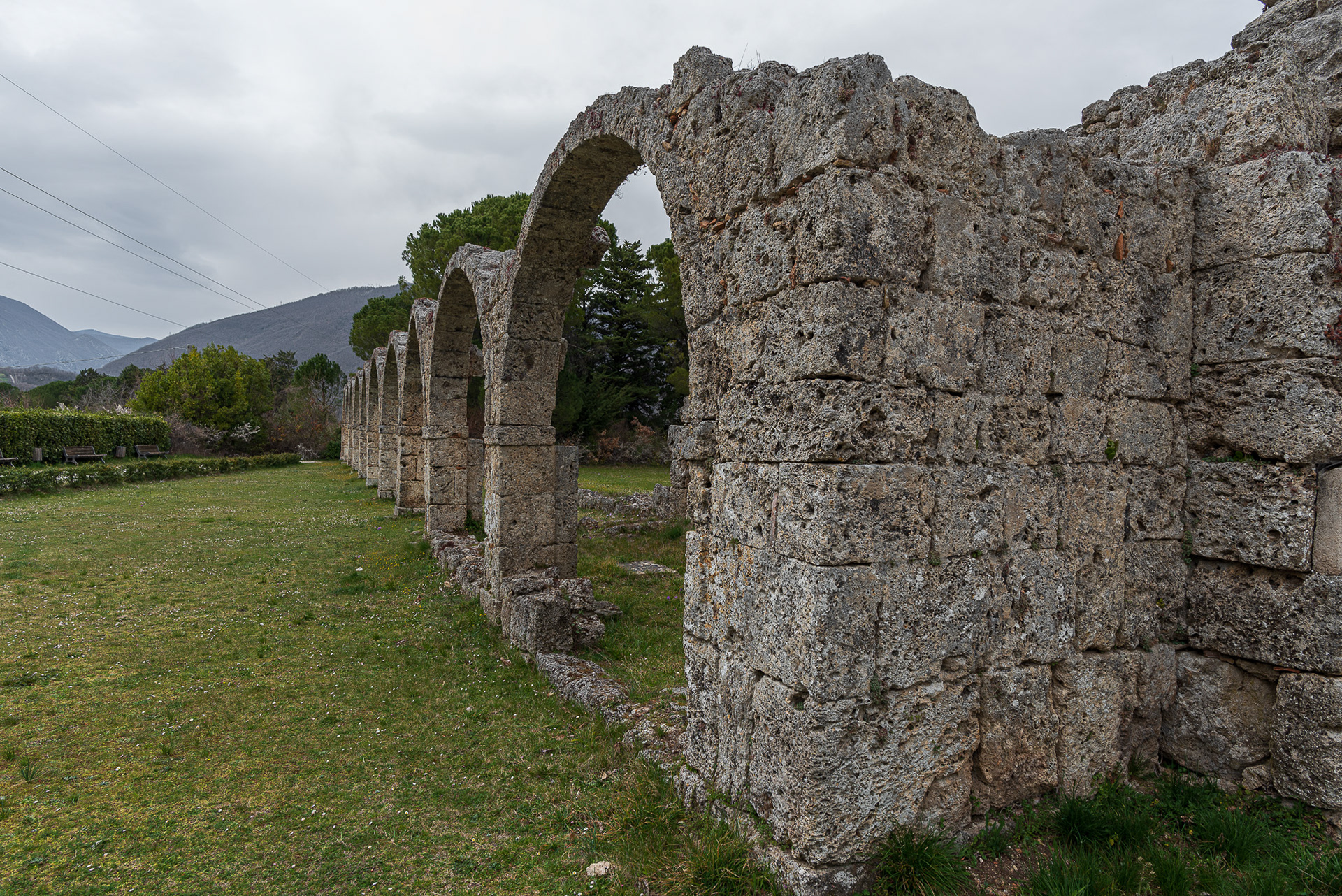
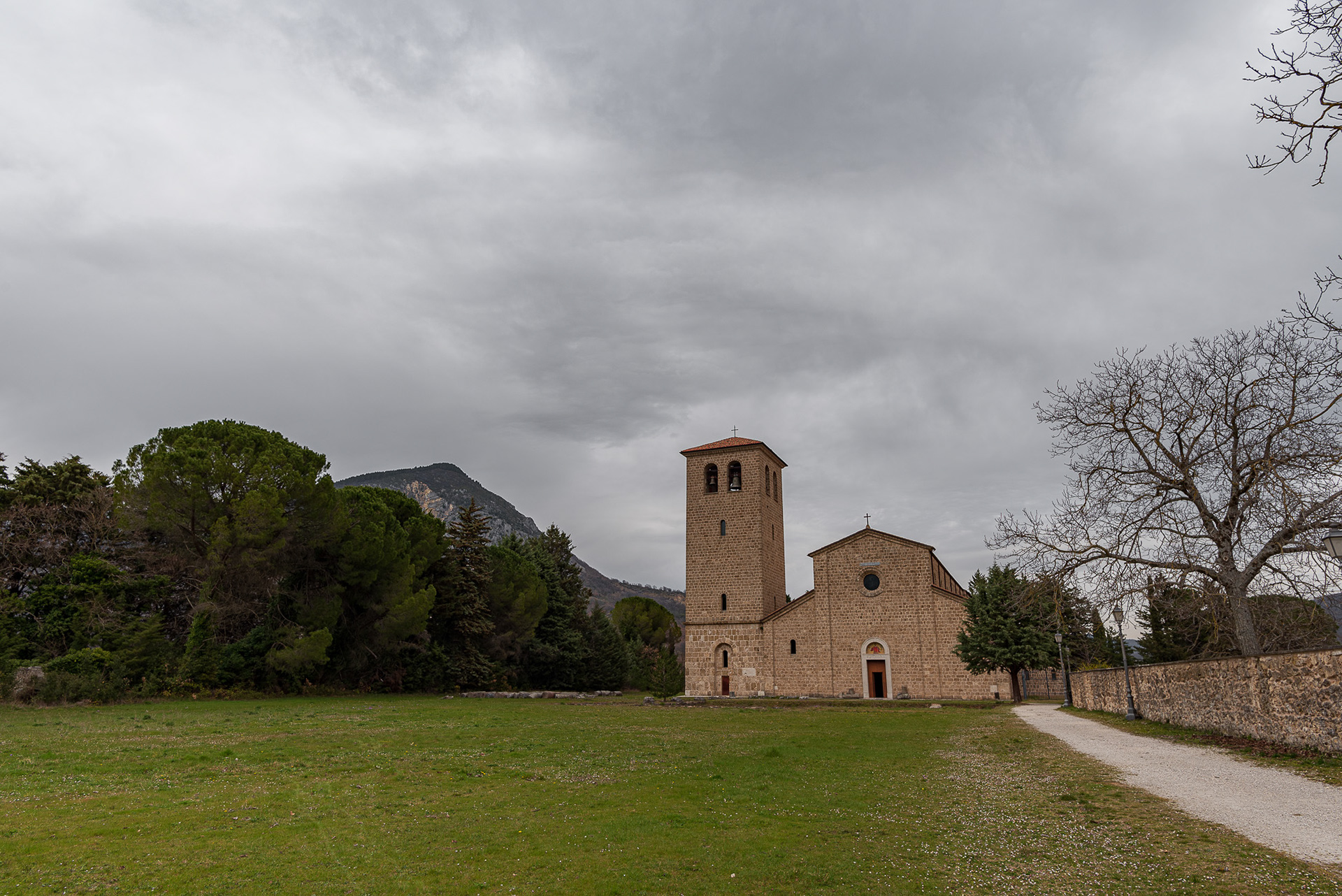
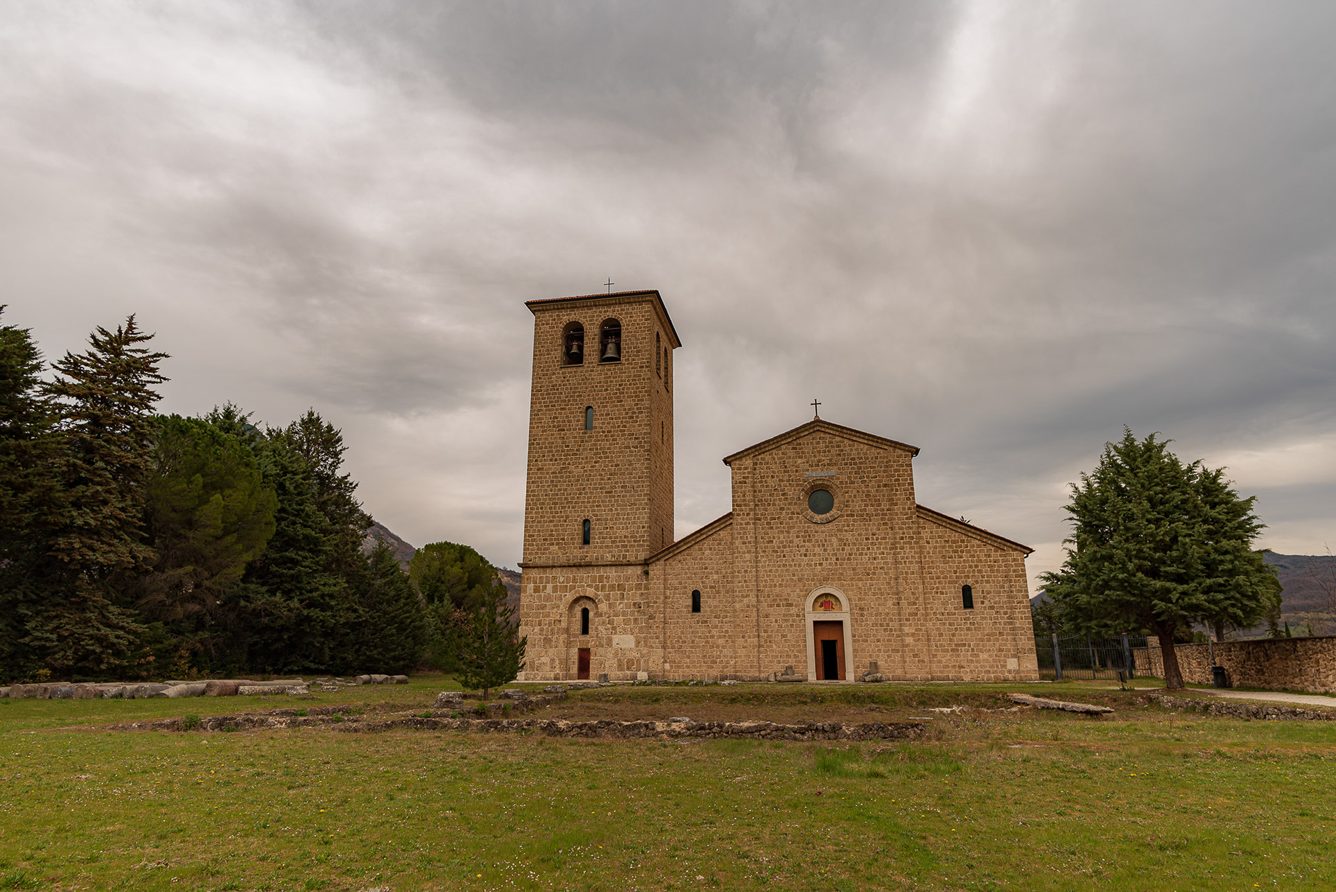
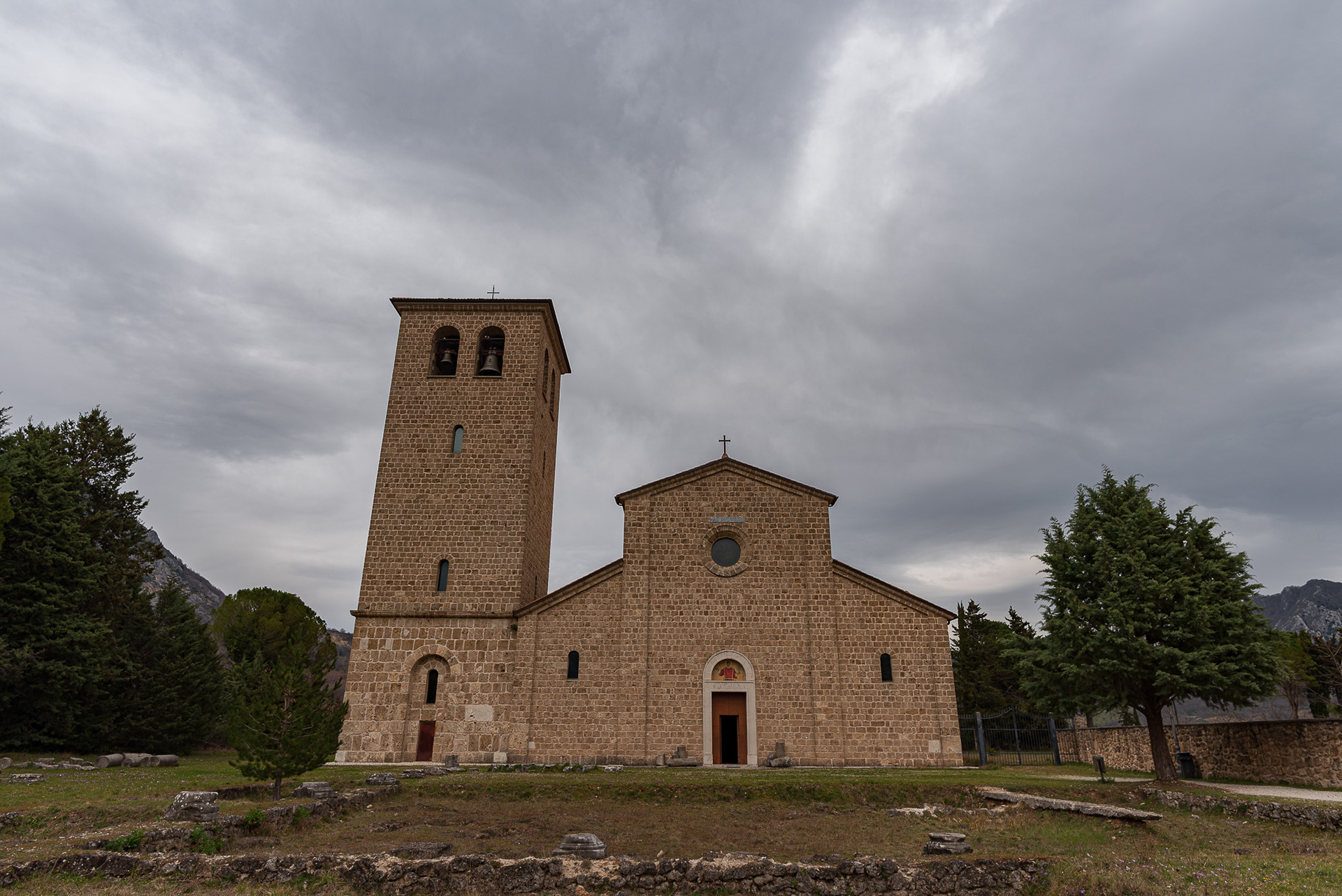
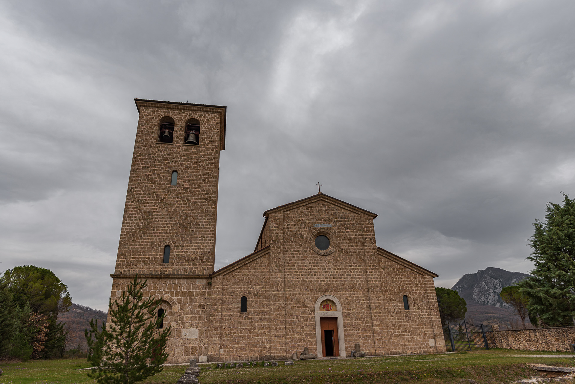
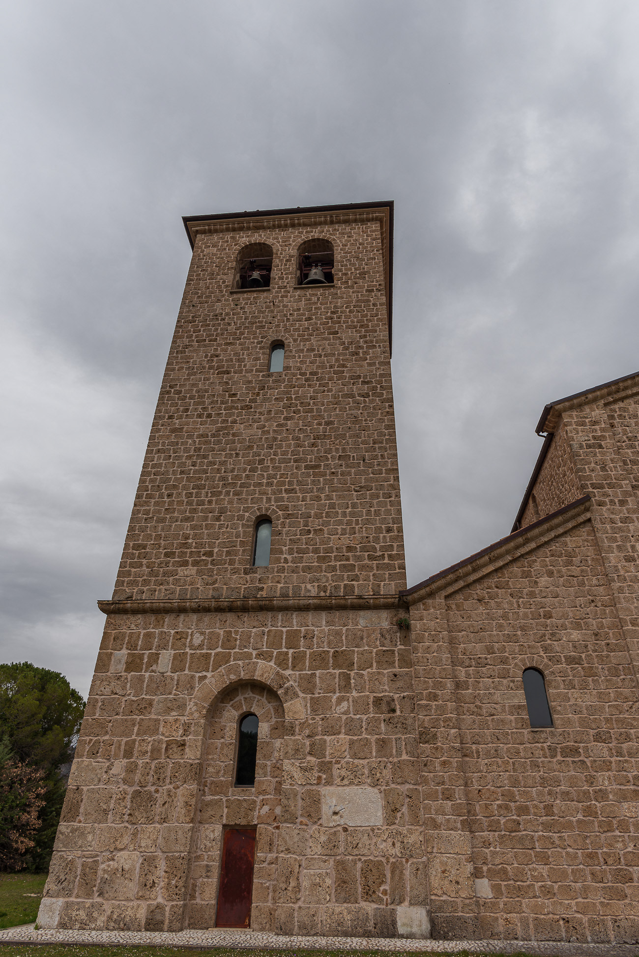
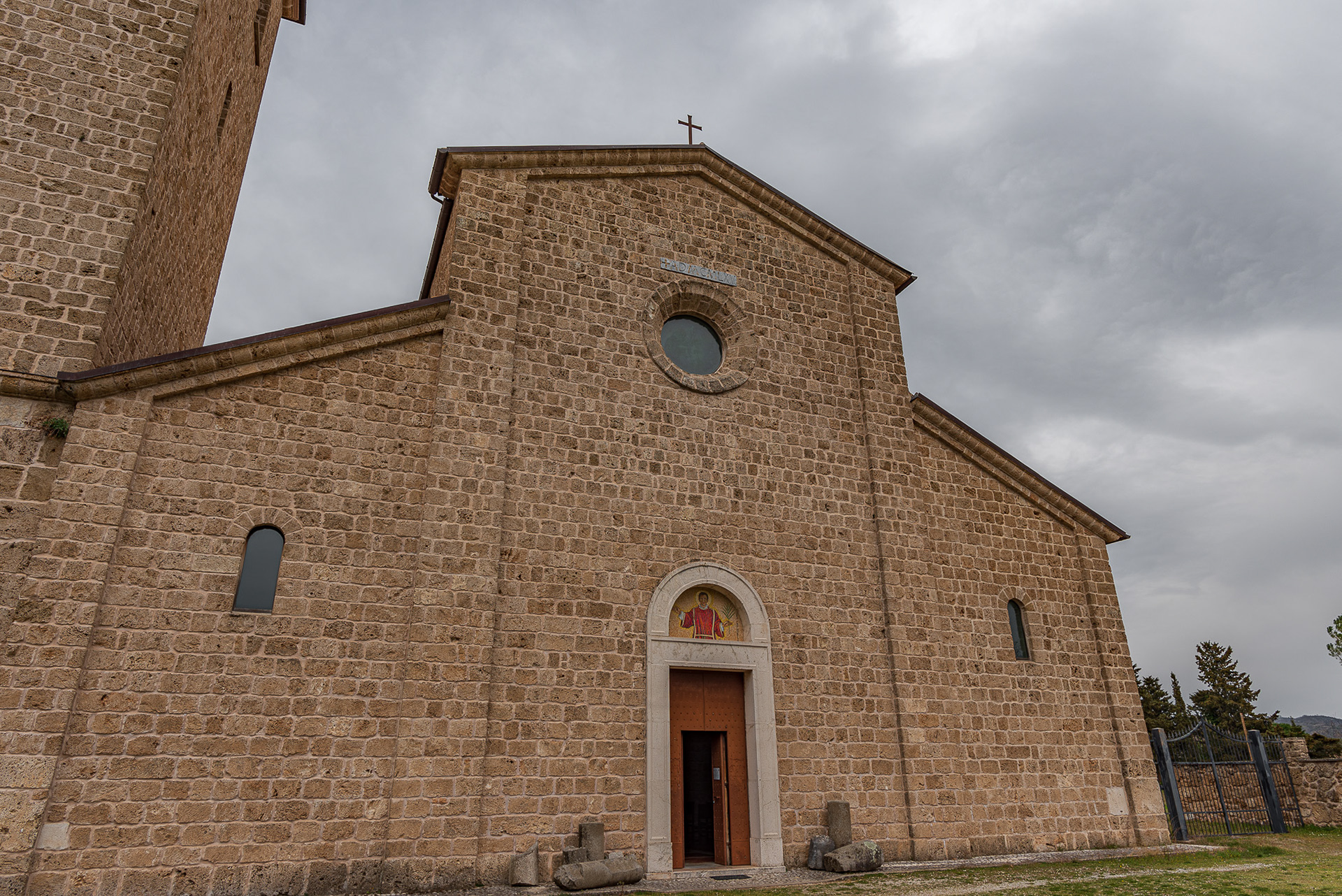
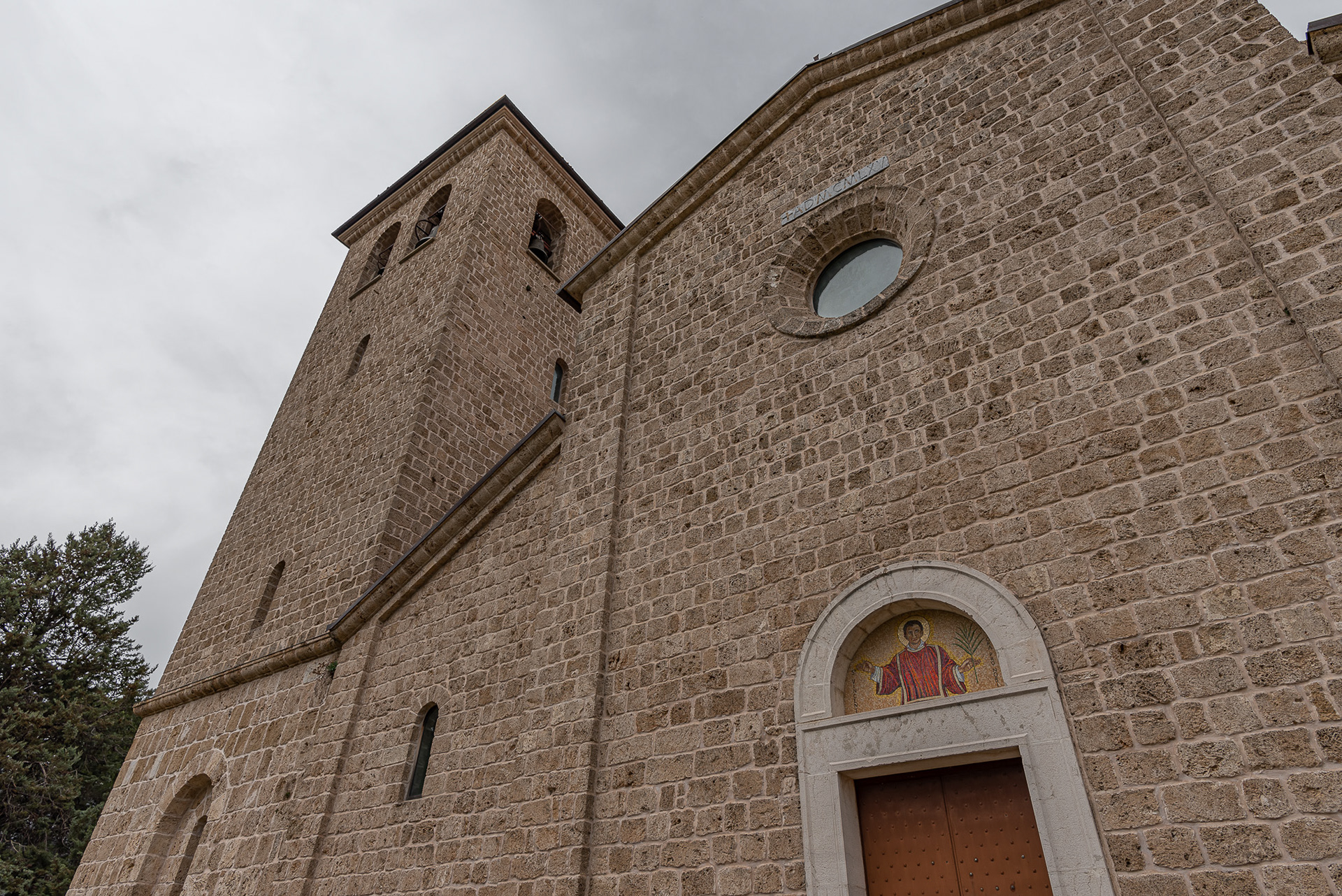
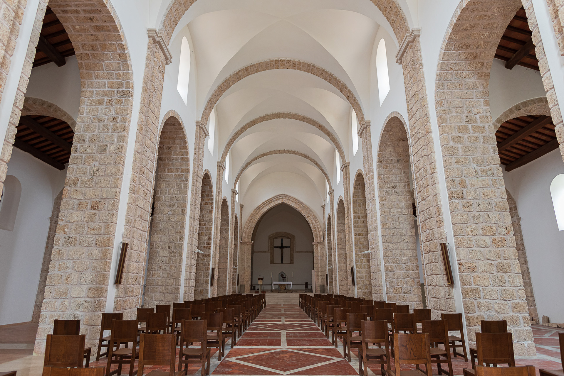
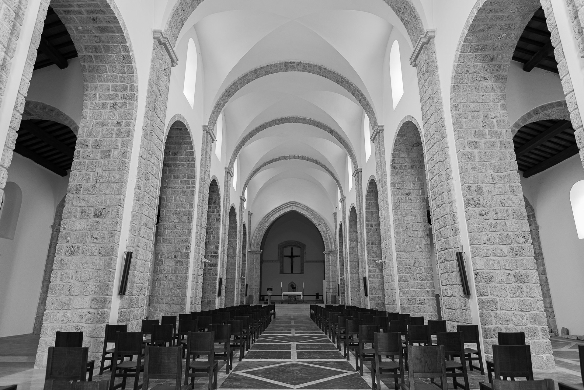
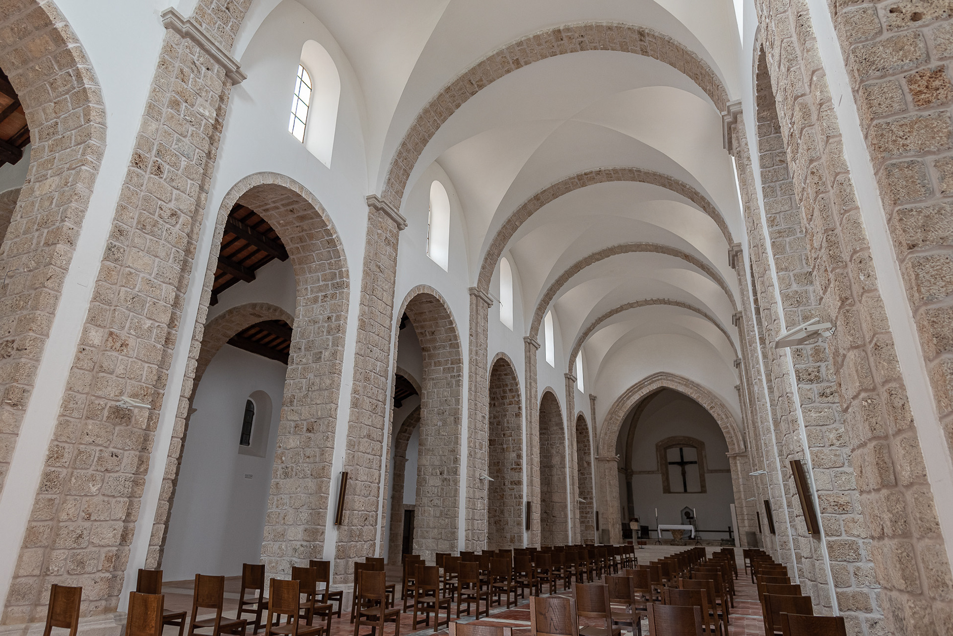
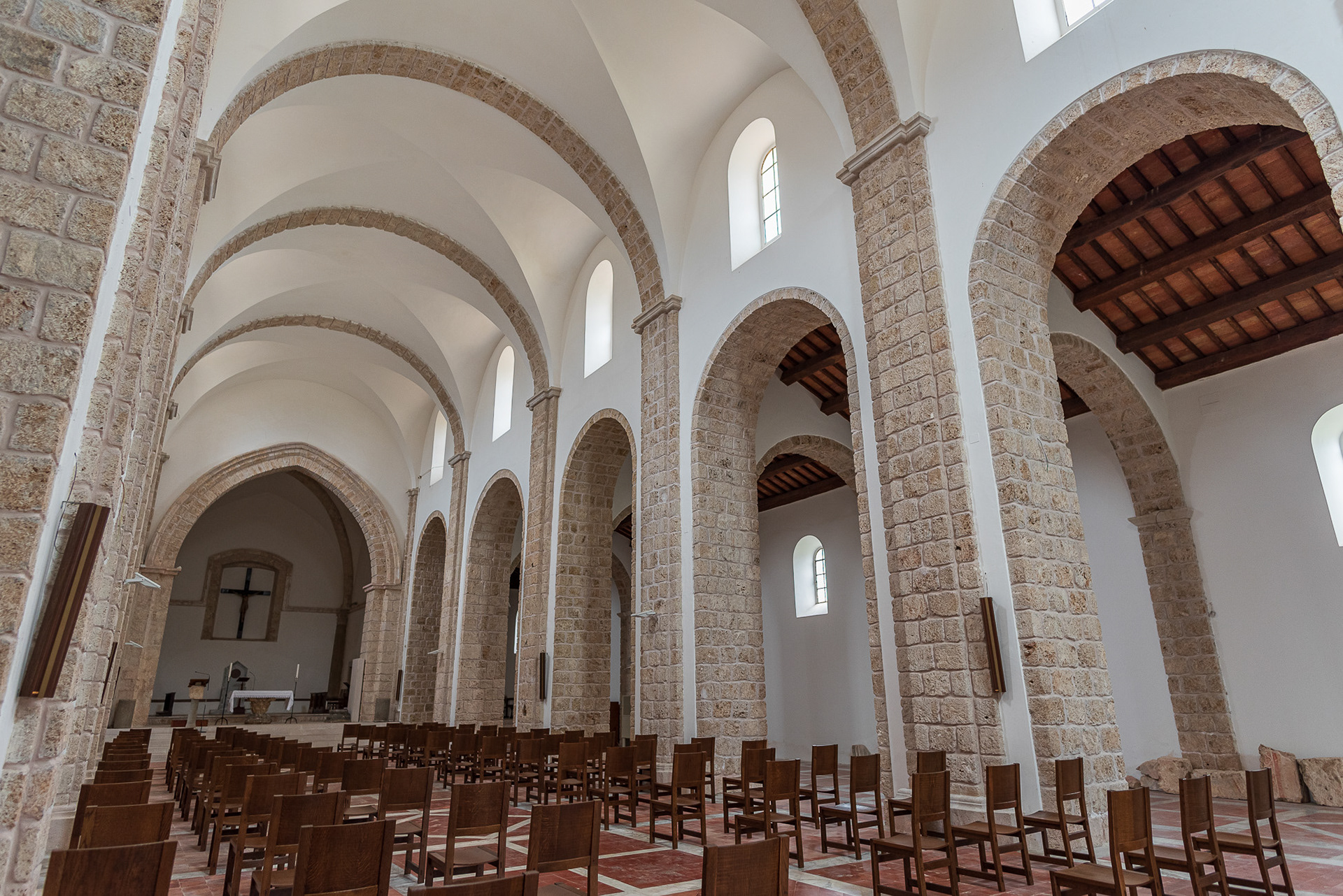
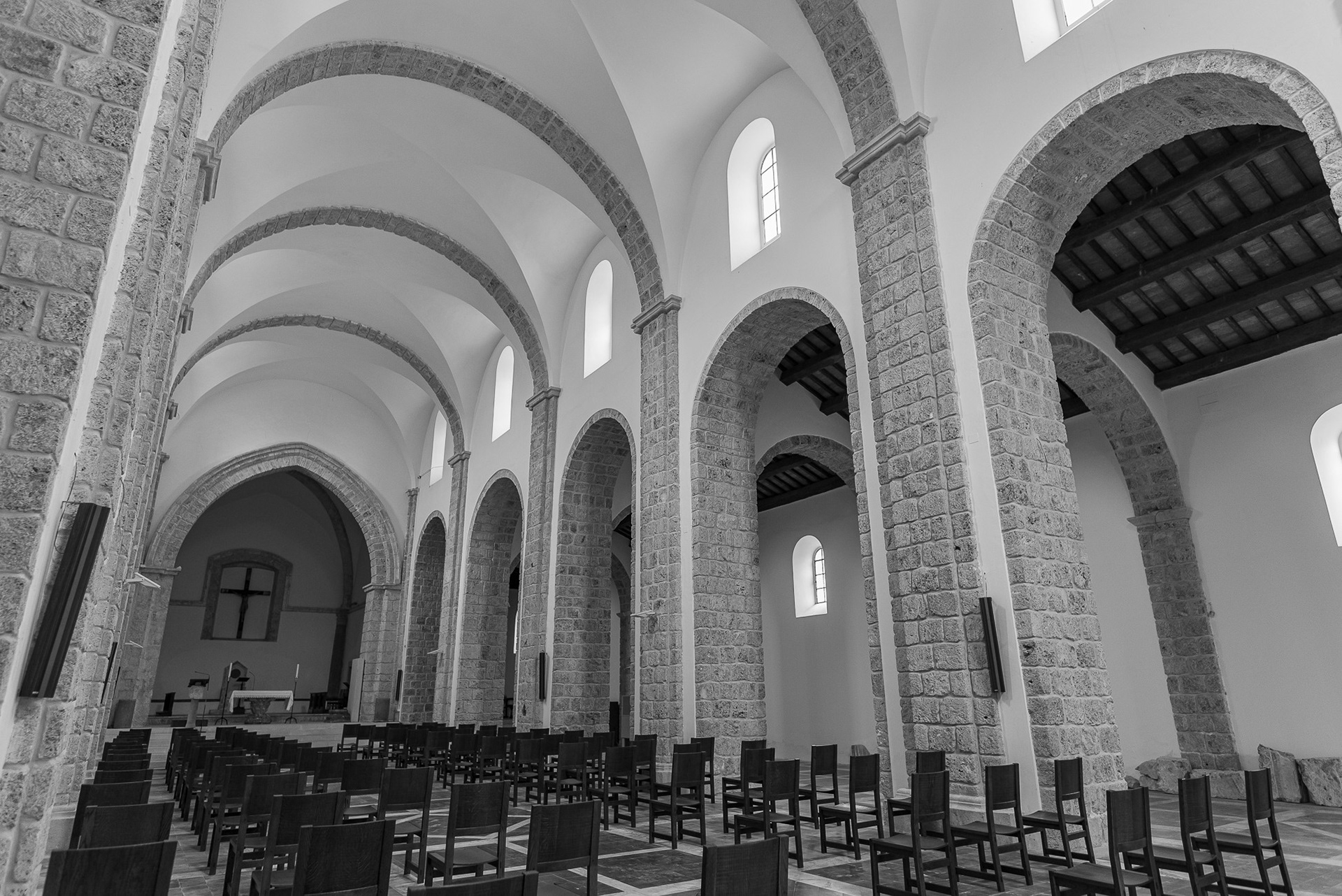
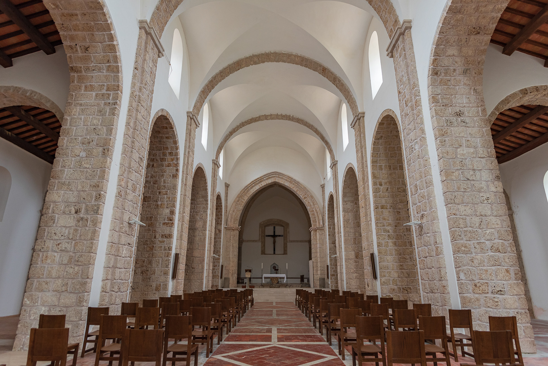
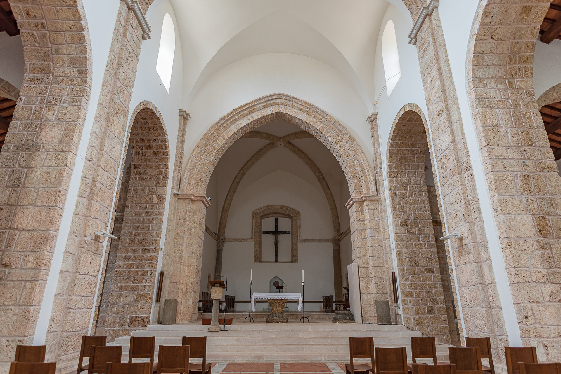
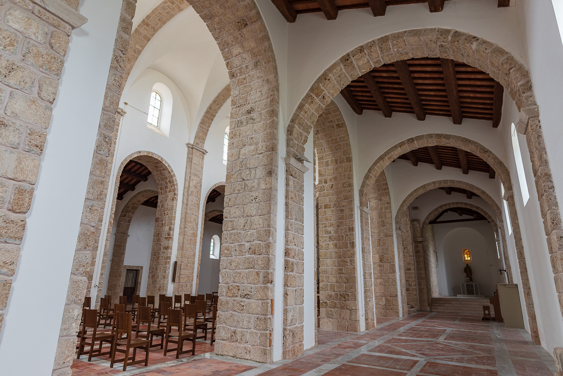
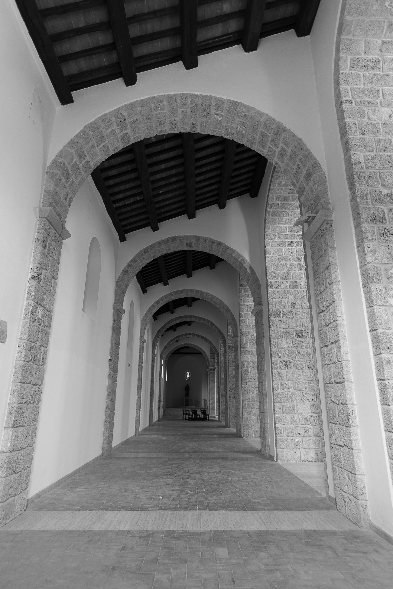
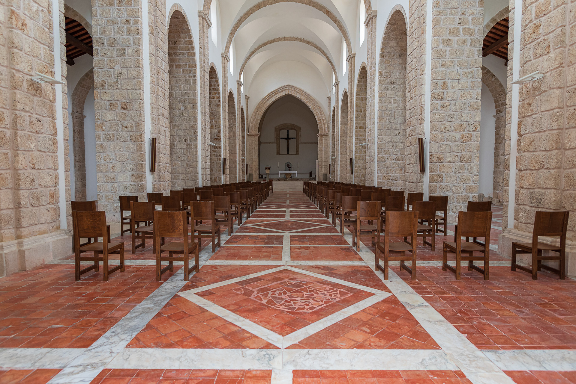
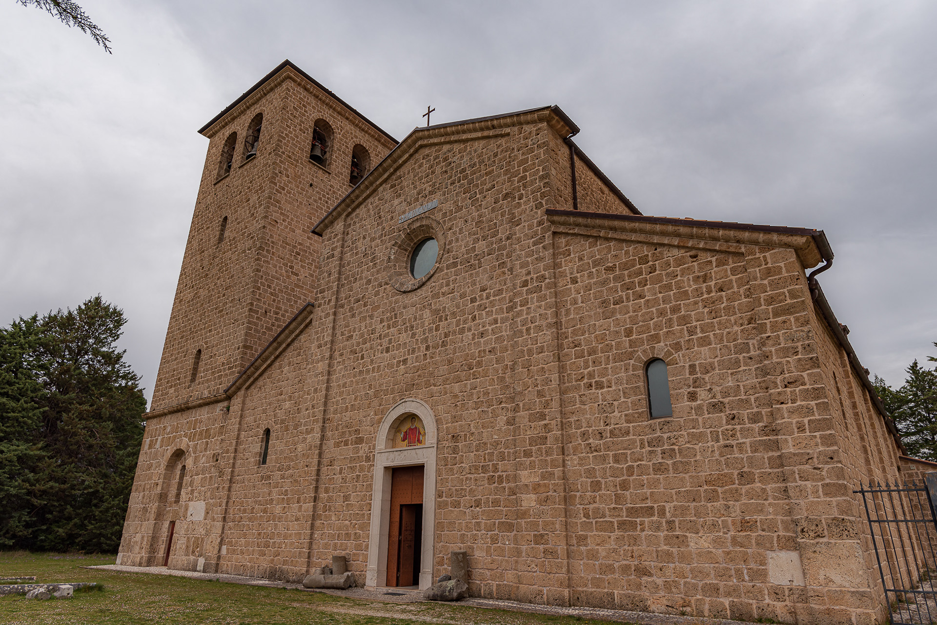
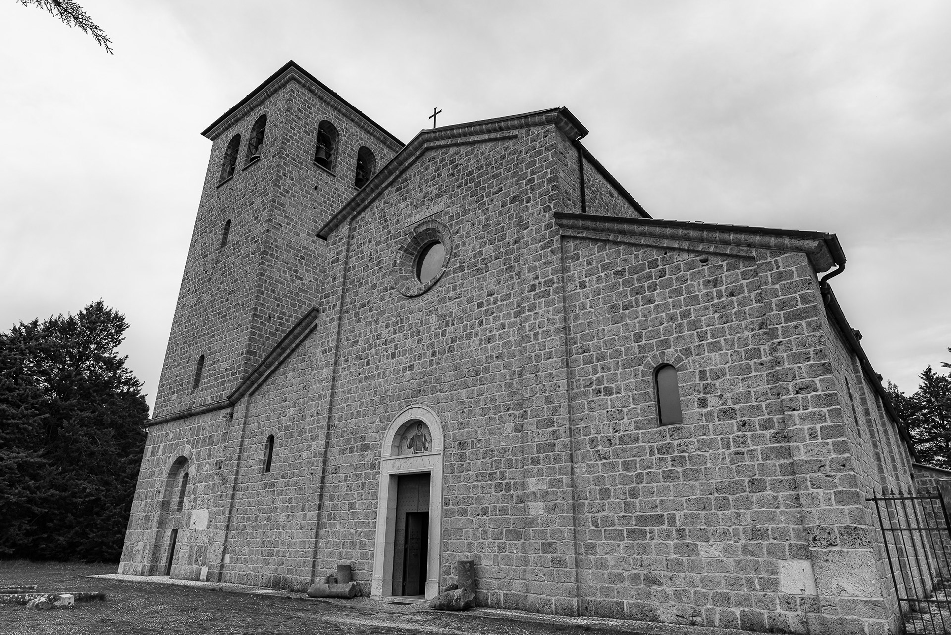
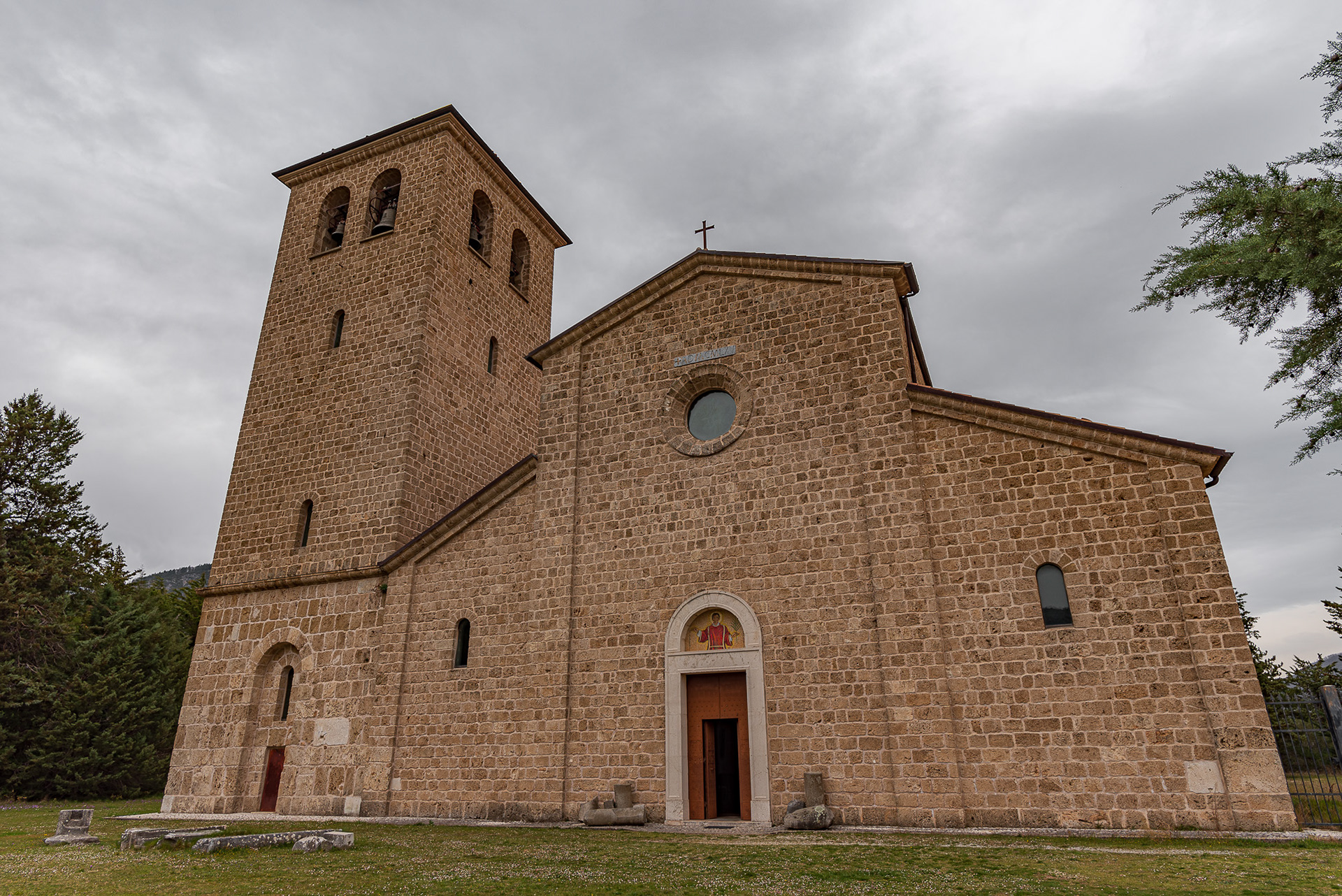
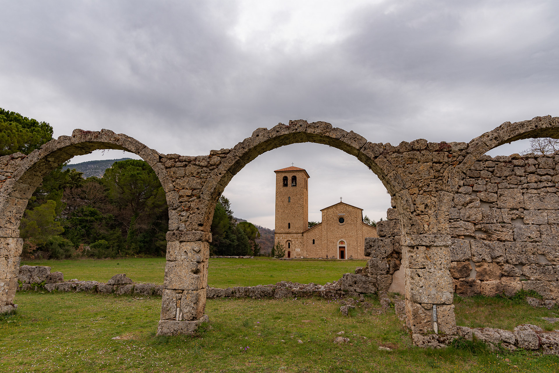
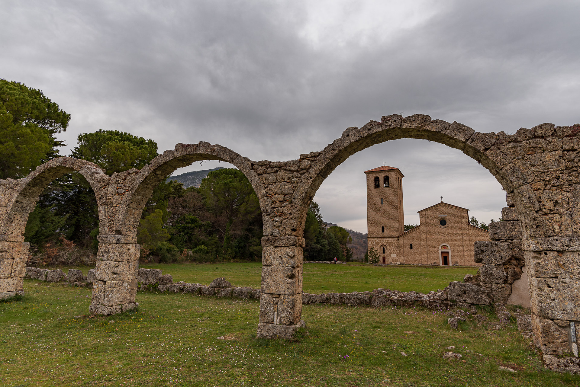
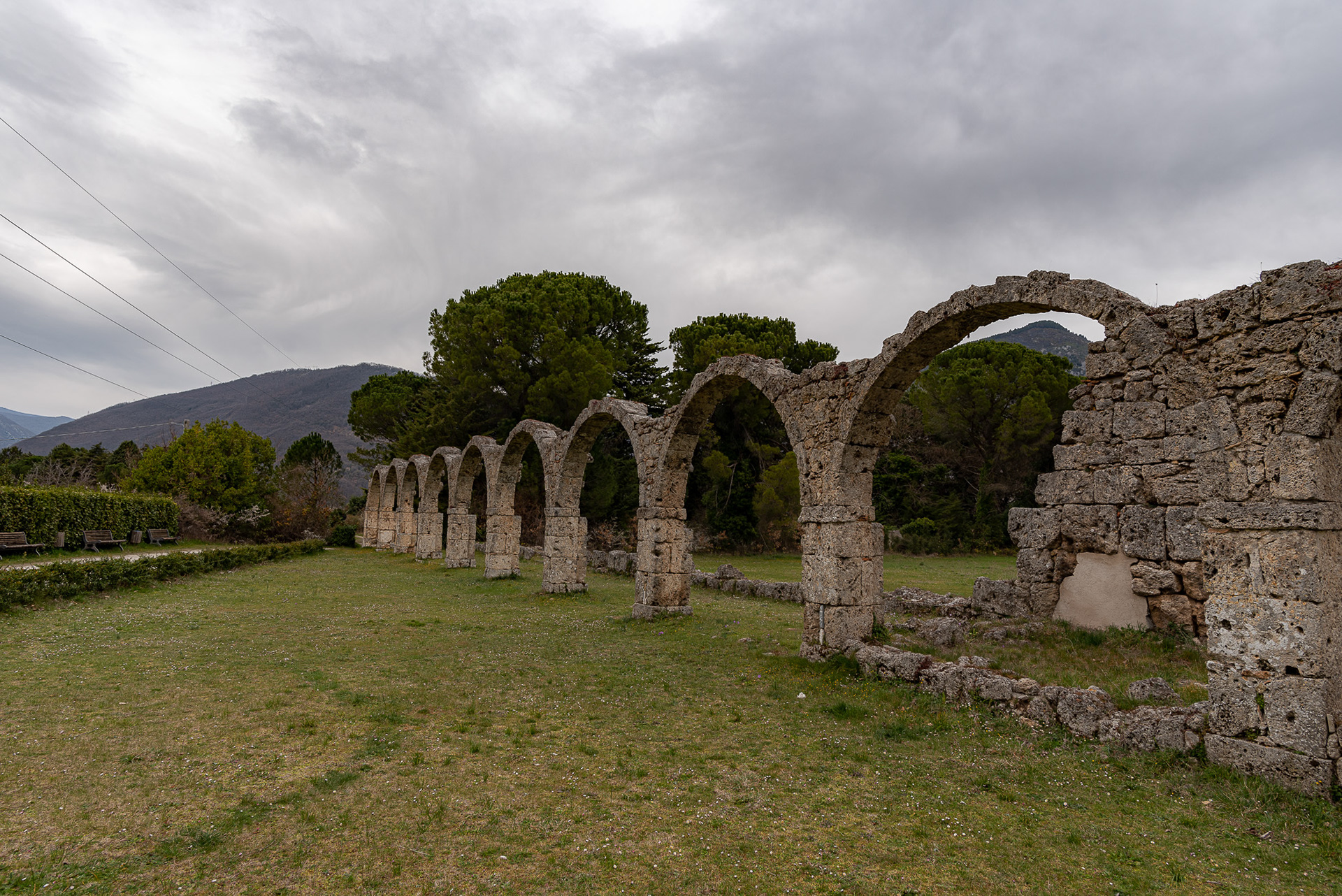
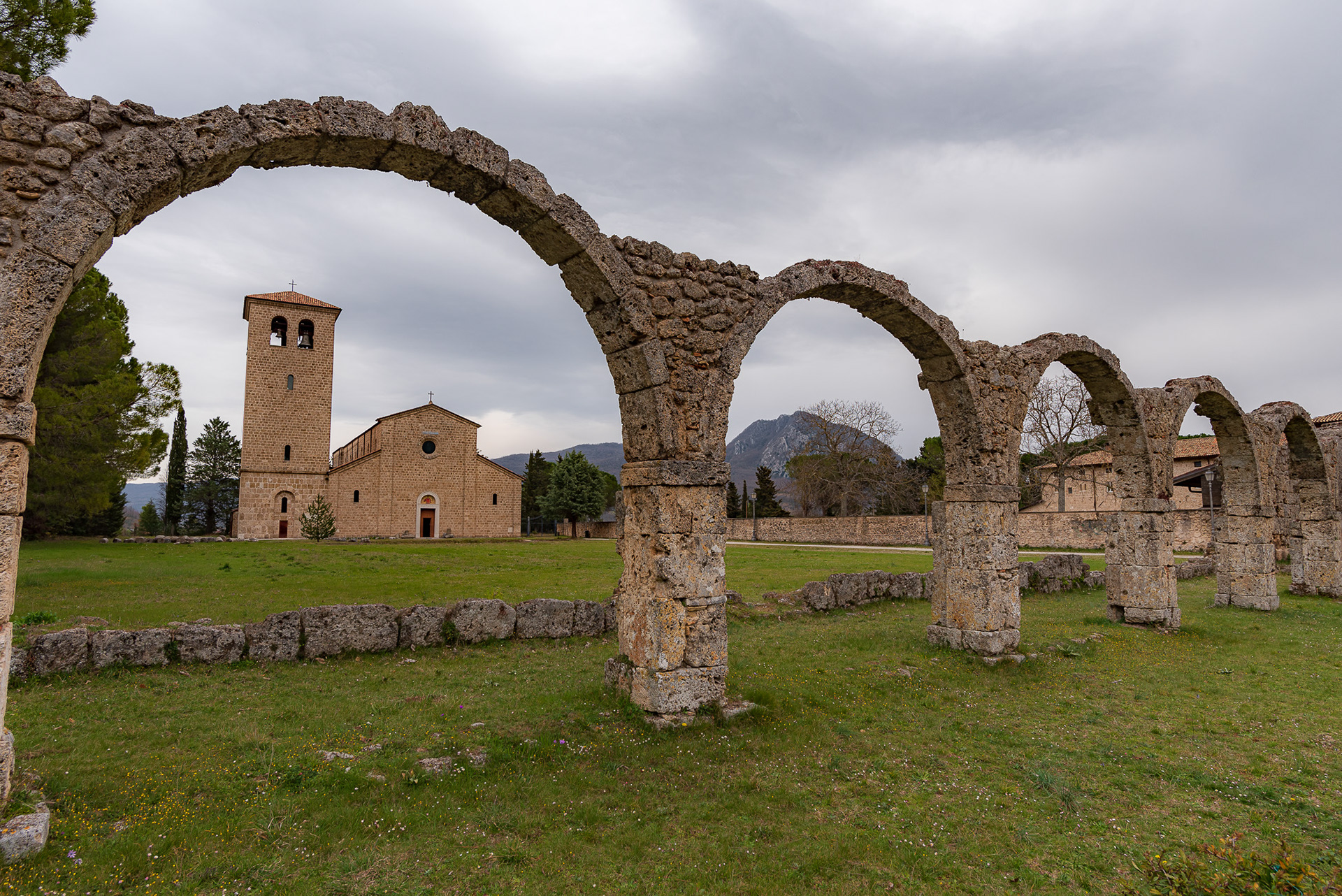
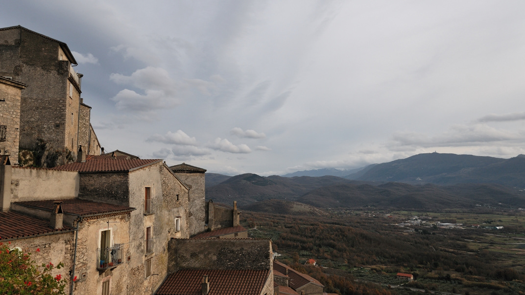
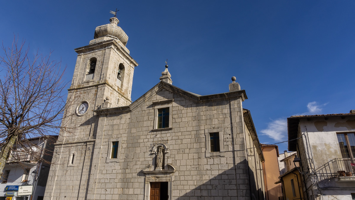
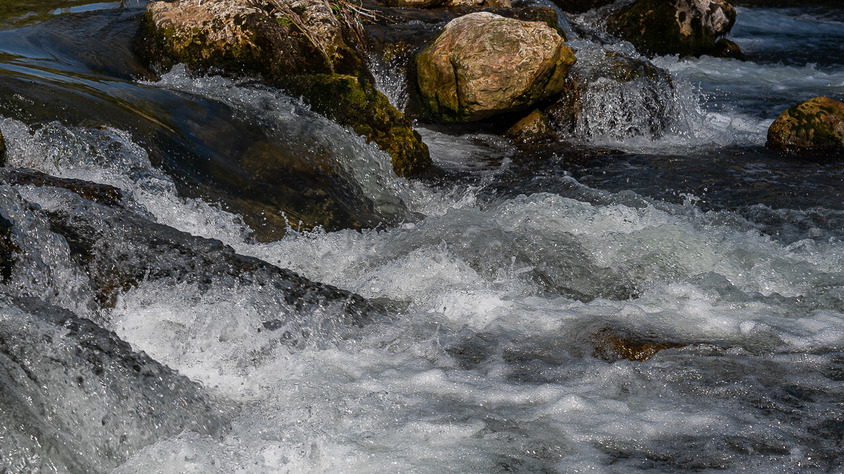
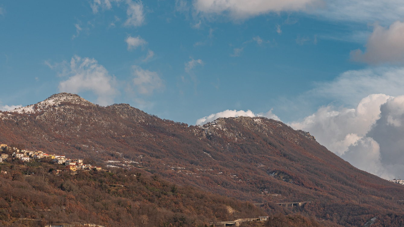
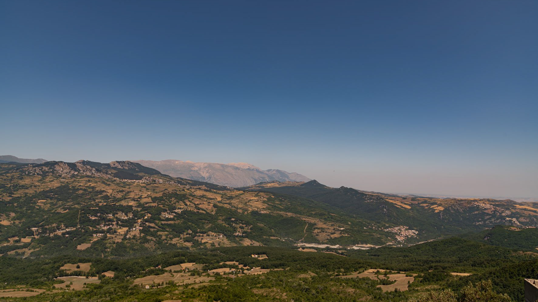
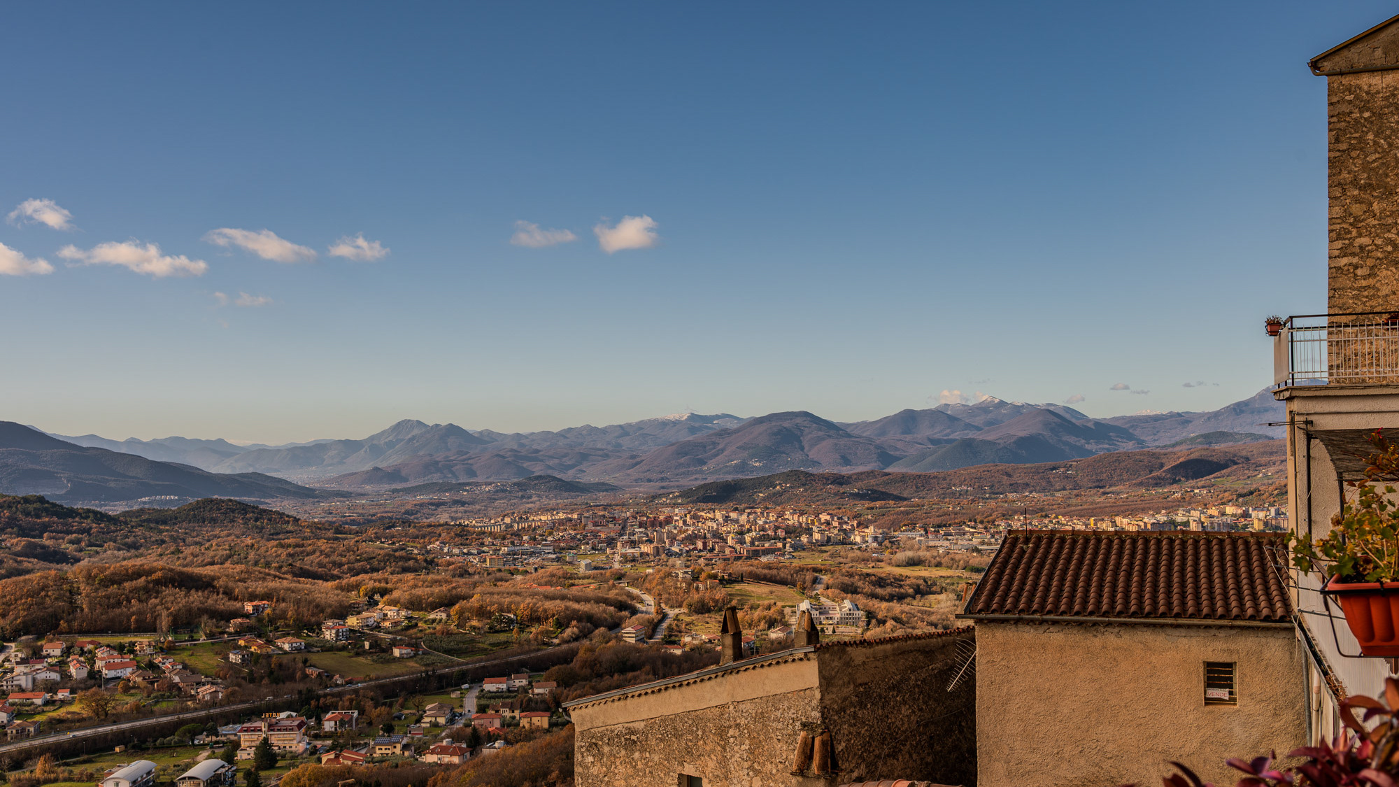
Cerro al Volturno (Cièrrë in Molise) is an Italian town of 1 194 inhabitants in the province of Isernia in Molise, about 20 km from the border with Abruzzo. The municipality is also simply called Cerro because of its territory rich in oak woods, among which the Cerro, Quercus cerris, stands out. The Cerrese territory is on the border with the National Park of Abruzzo, Lazio and Molise. The climate is mainly of the Apennine type: cool and rainy autumn, cold and snowy winter and mild summer. The town was founded by the Samnites (III century BC), of which fortifications remain at Mount Santa Croce. In medieval times the hill of the present village was colonized by peasants (9th century), since the fiefdom depended on the nearby Abbey of San Vincenzo al Volturno. The origin of the community itself is linked to the influence of the abbey of San Vincenzo al Volturno, one of the oldest Benedictine monasteries in the Kingdom of Naples and in the land of San Pietro, together with Montecassino and Farfa. Cerro already existed since 899, as evidenced in the Chrnicon Vulturnense, when Roffredo, abbot of San Vincenzo led the first peasant colony to cultivate the lands in the place of Cerrum, from the name of the oak trees. The 11th century Norman castle was later owned by the Filangieri, Borrello and Cantelmo di Popoli family, until the 15th century, when it passed to the Pandone family, who renovated it extensively. In the following centuries the feud belonged to various families, including the Carafa. In 1811 the village passed to the territory of Benevento, and only in 1861 was it included again in Molise, first linked to the territory of Piedimonte Matese, and then to the area of Castellone Volturno, i.e. Castel San Vincenzo. Since 1970 it has been part of the province of Isernia.