2015
Vastogirardi (IS)
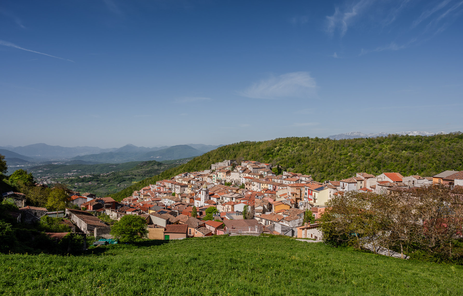
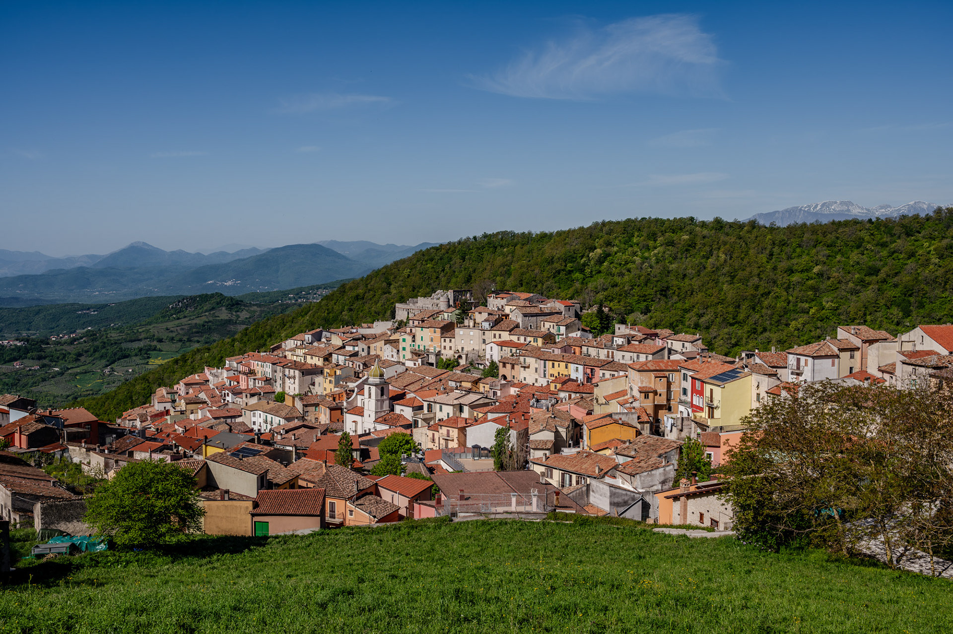
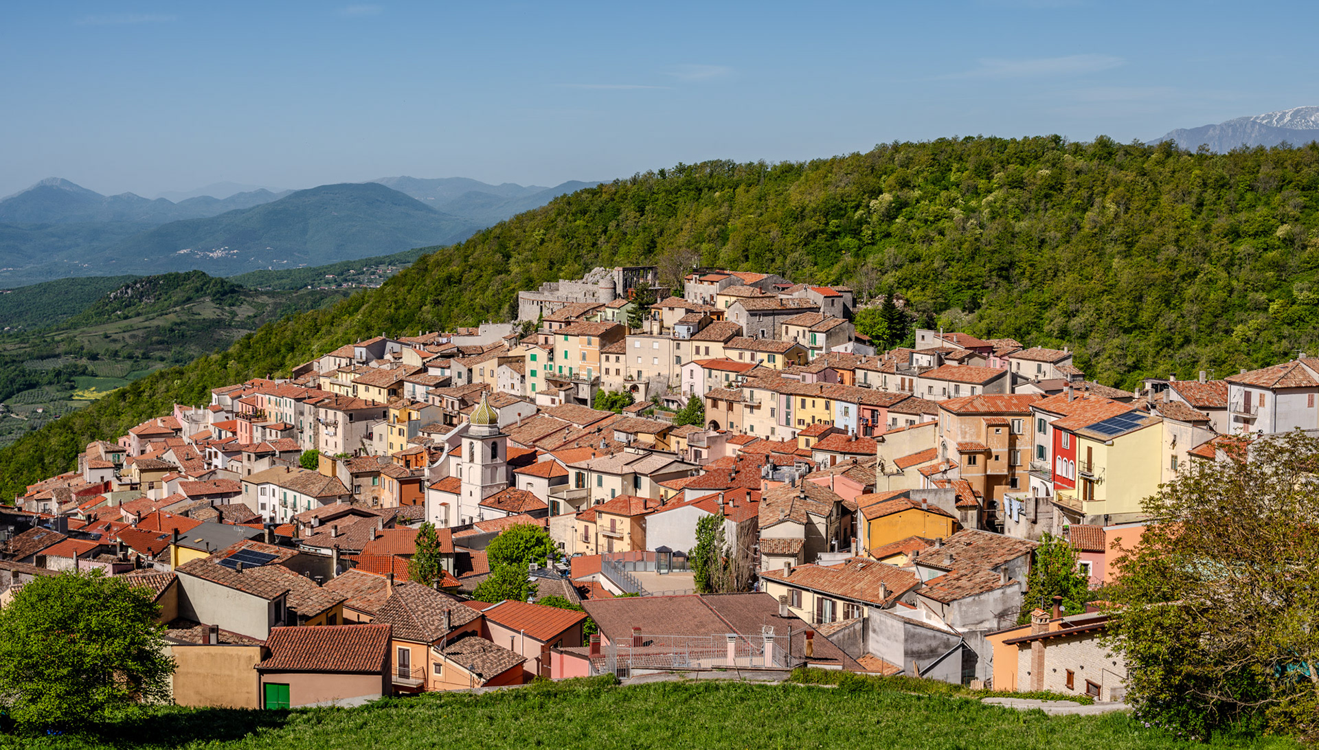
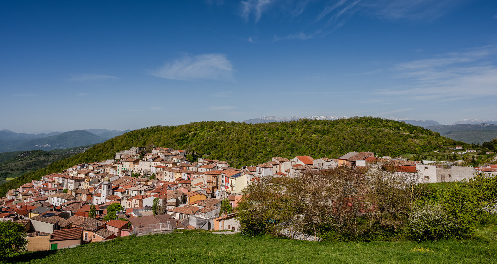
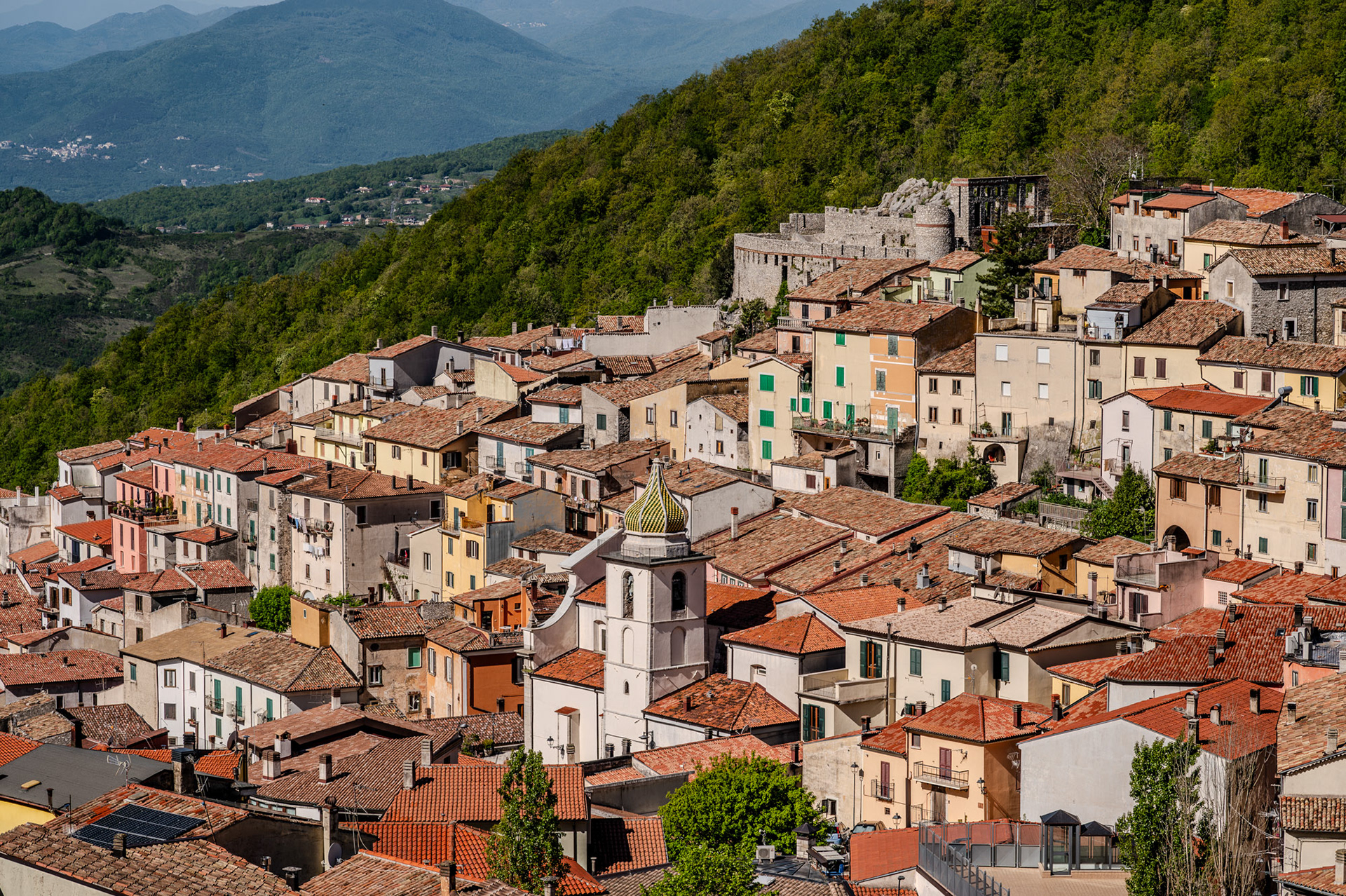
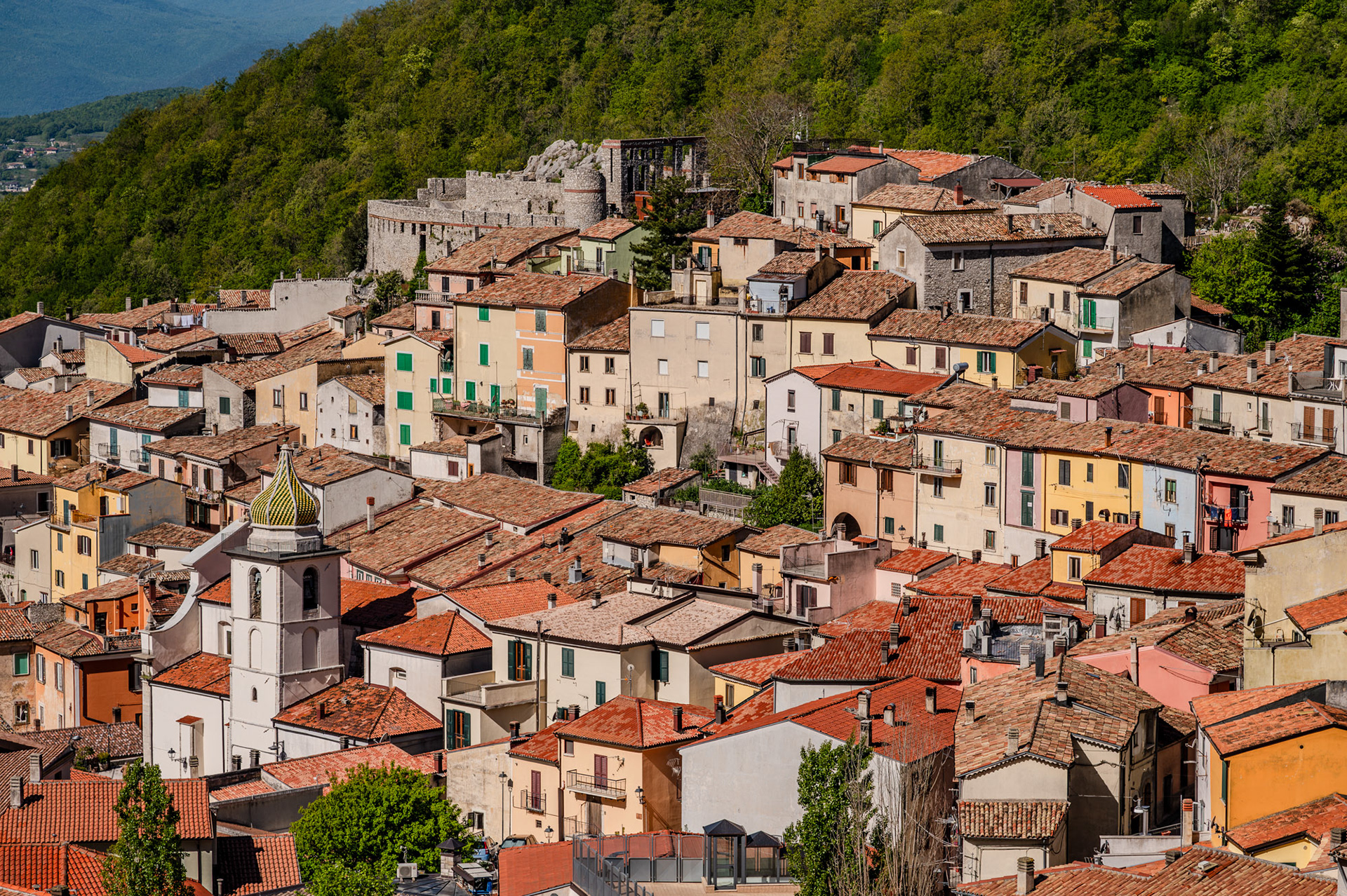
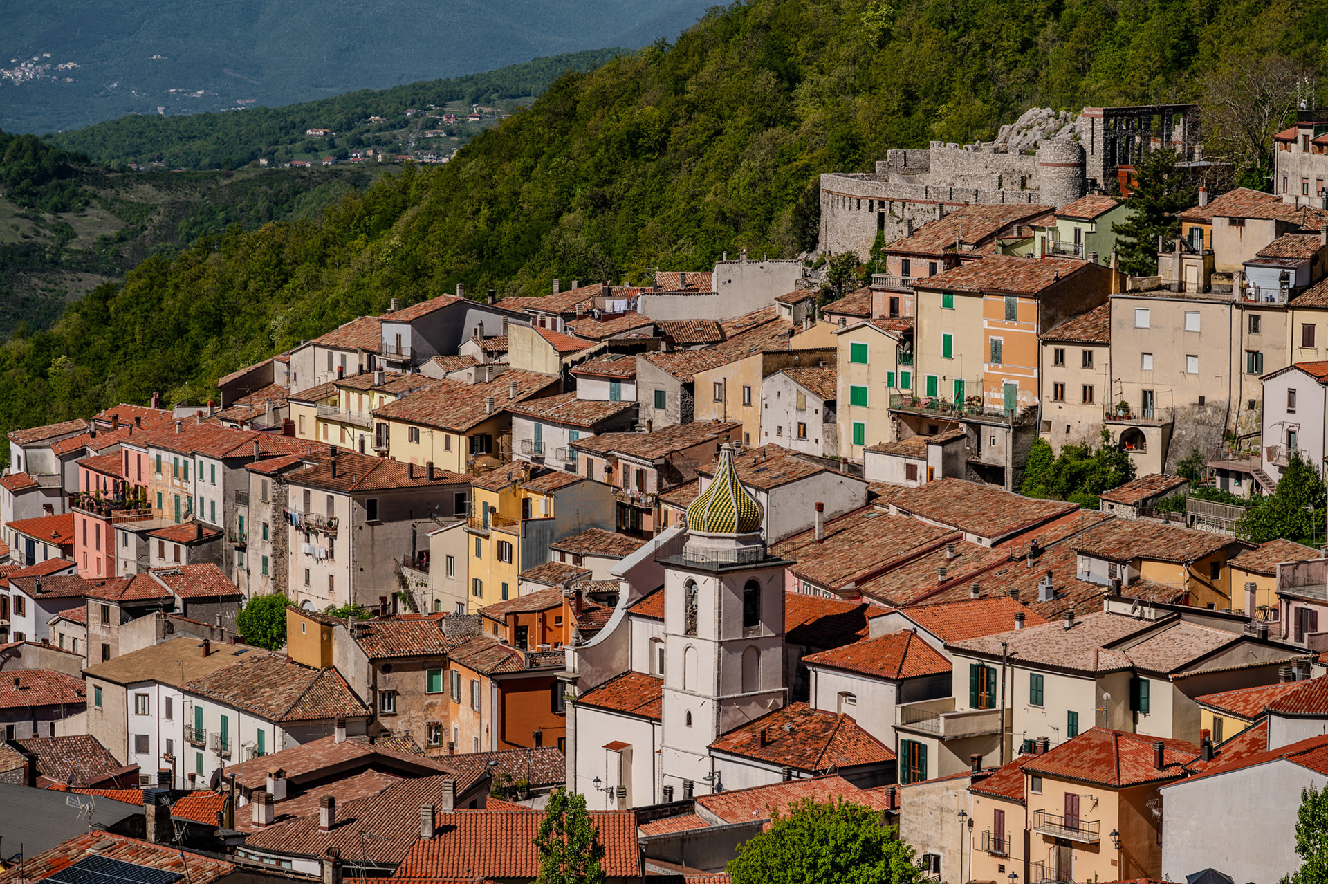
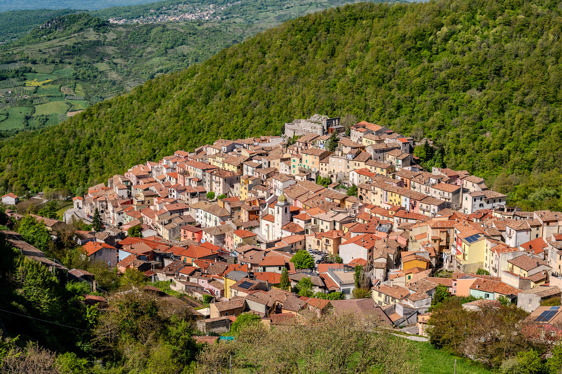
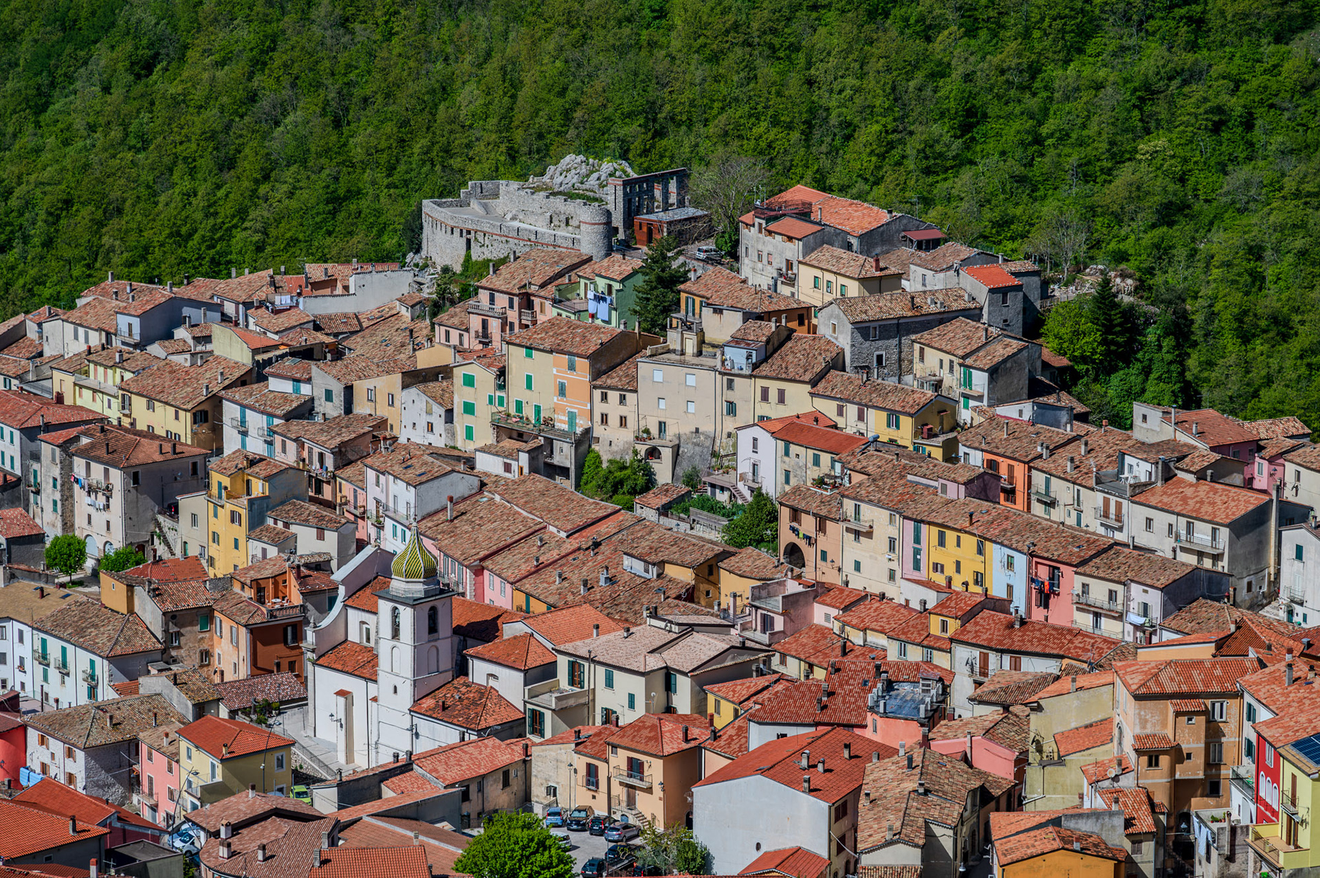
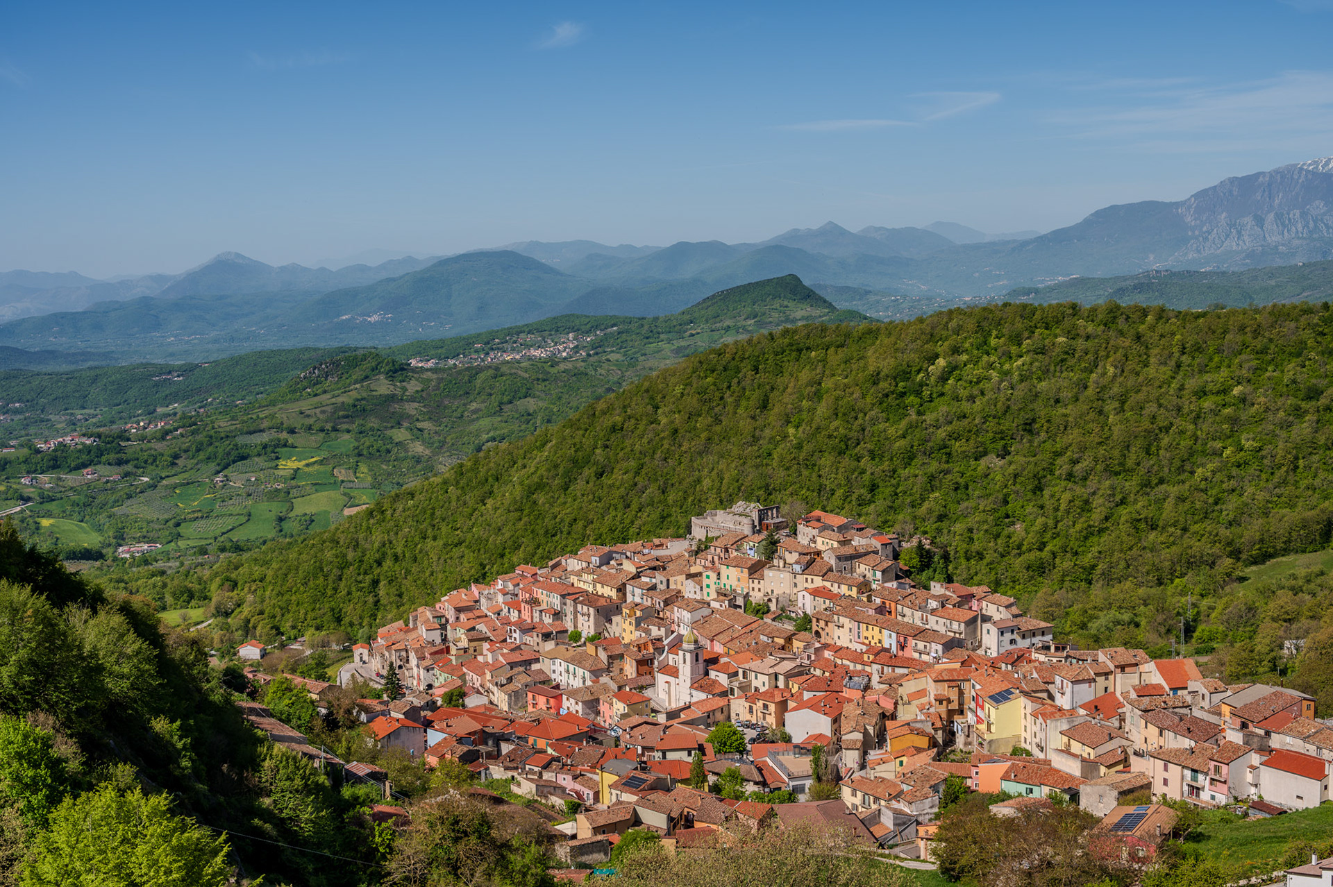
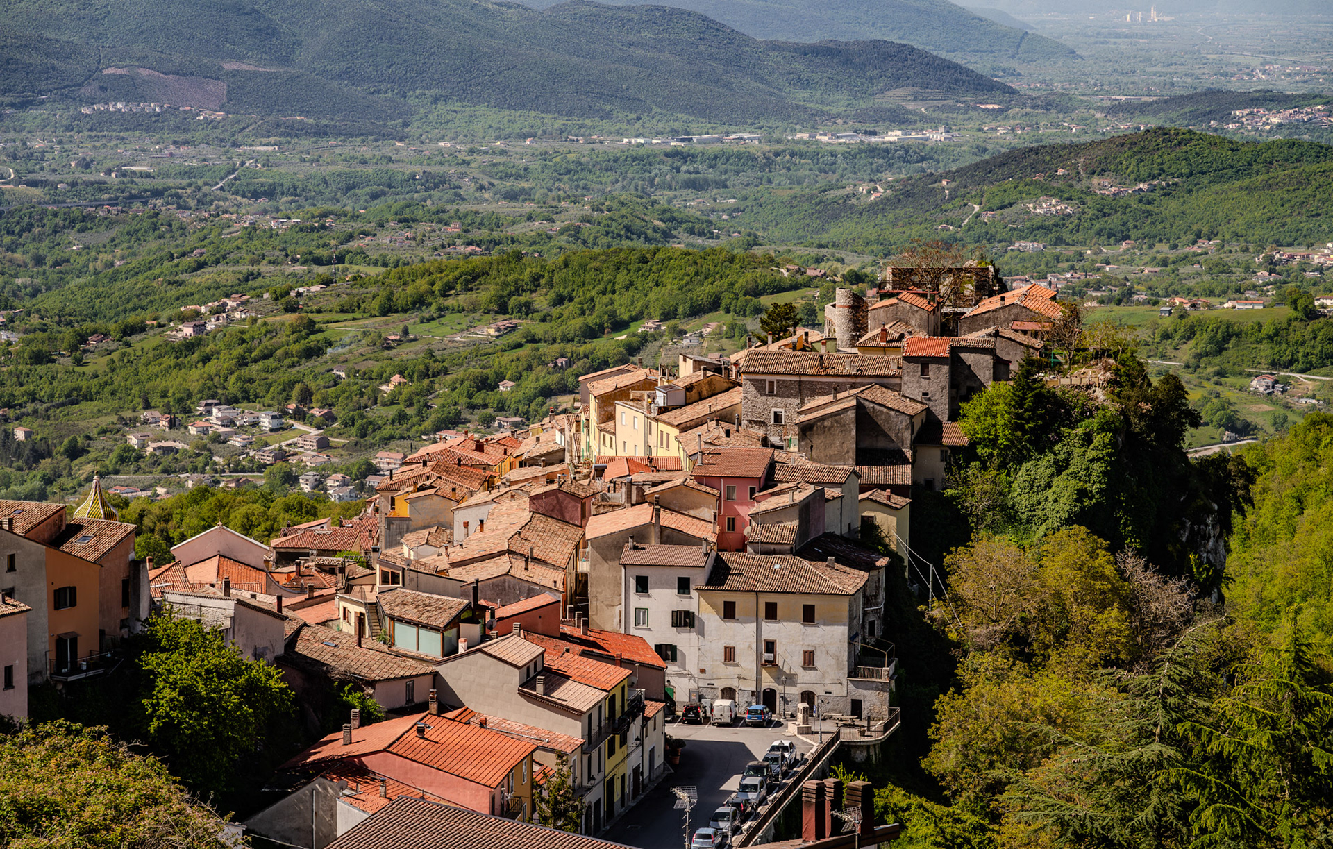
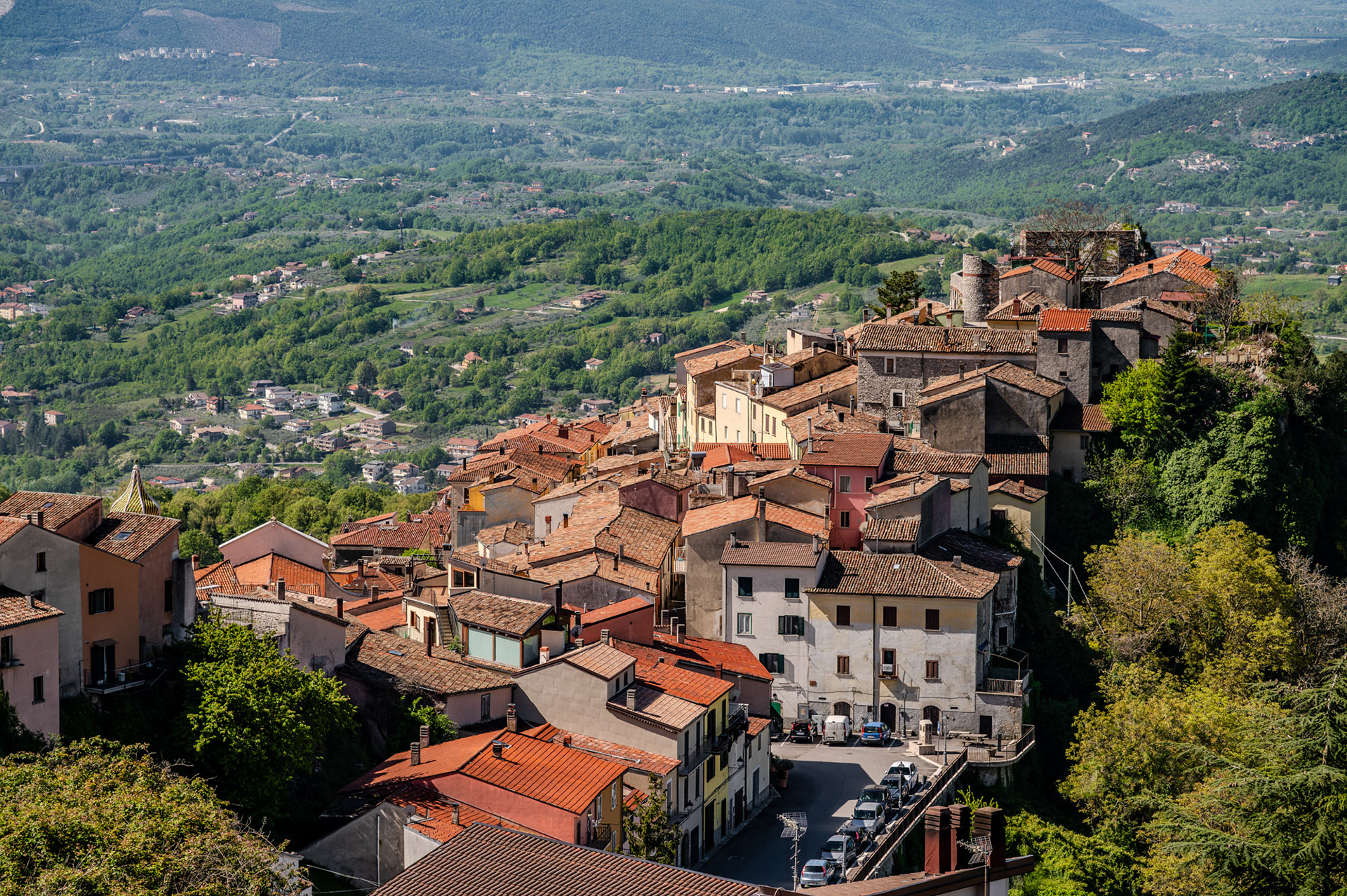
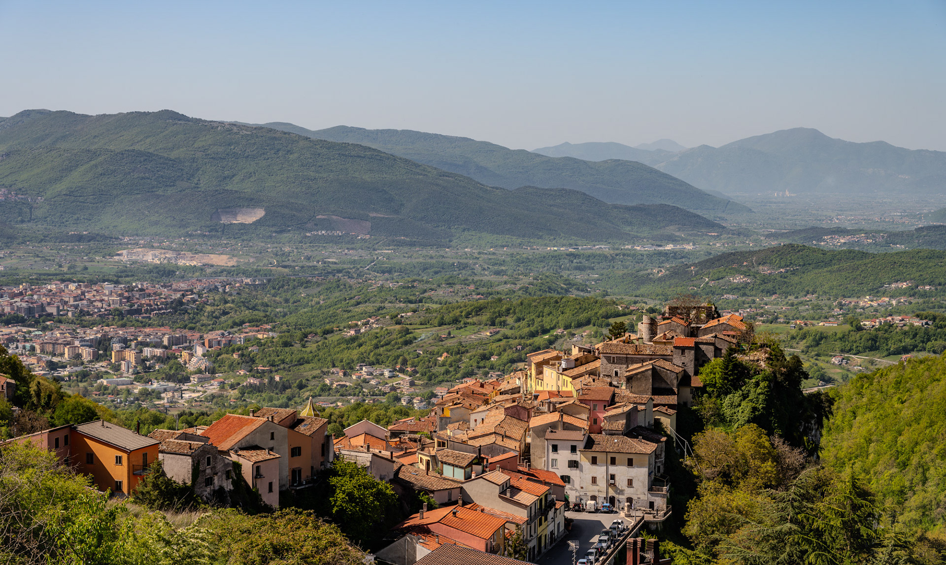
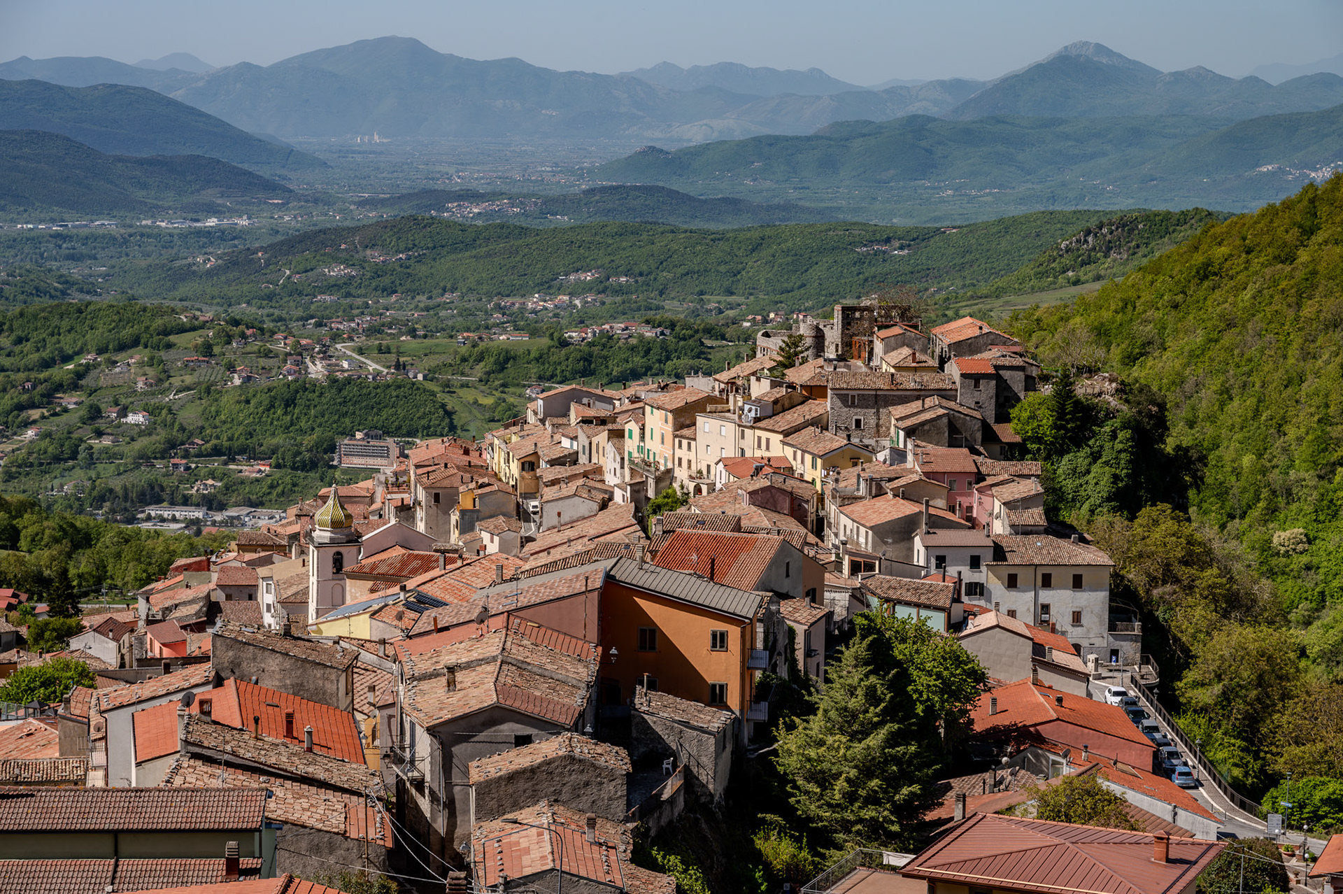
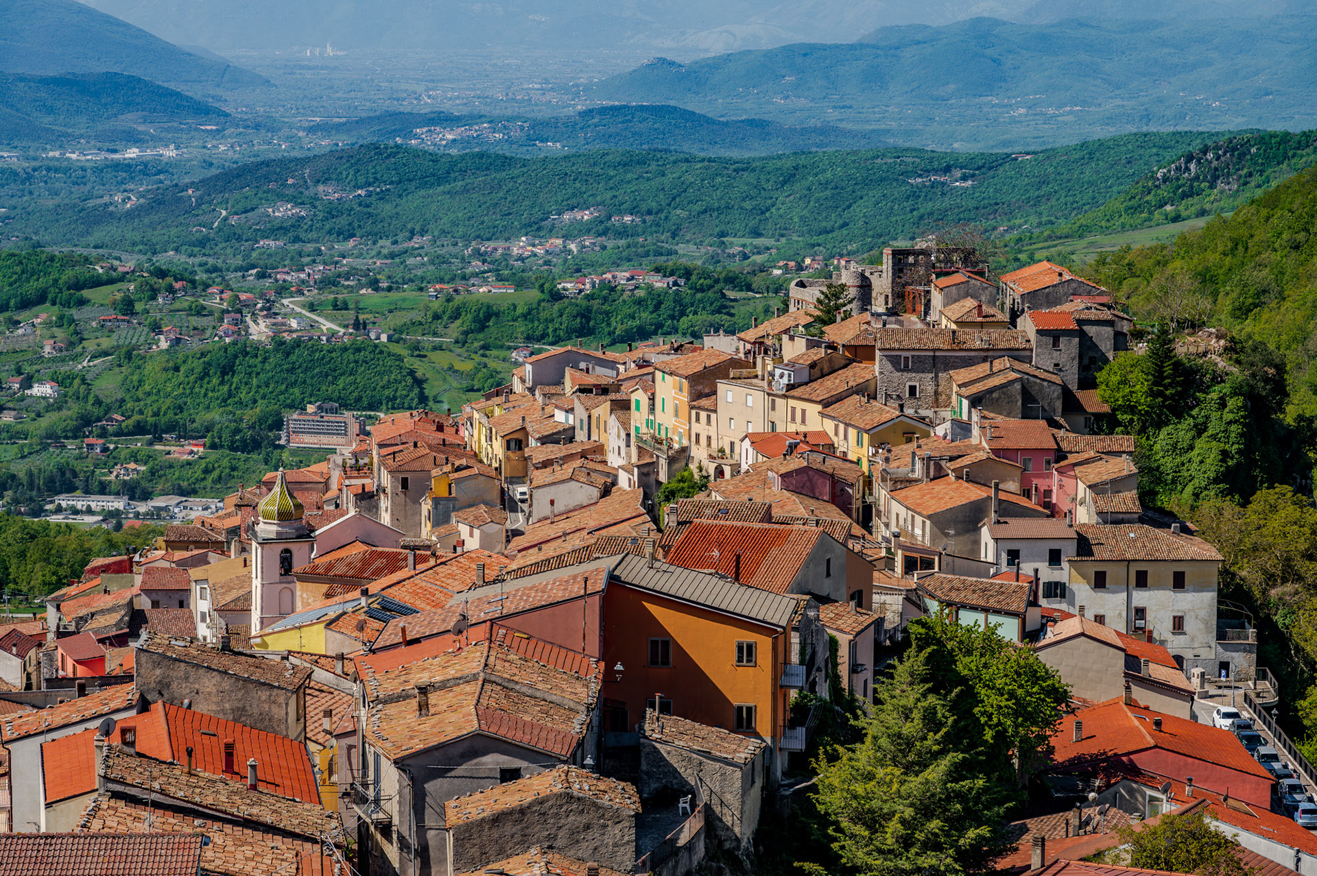
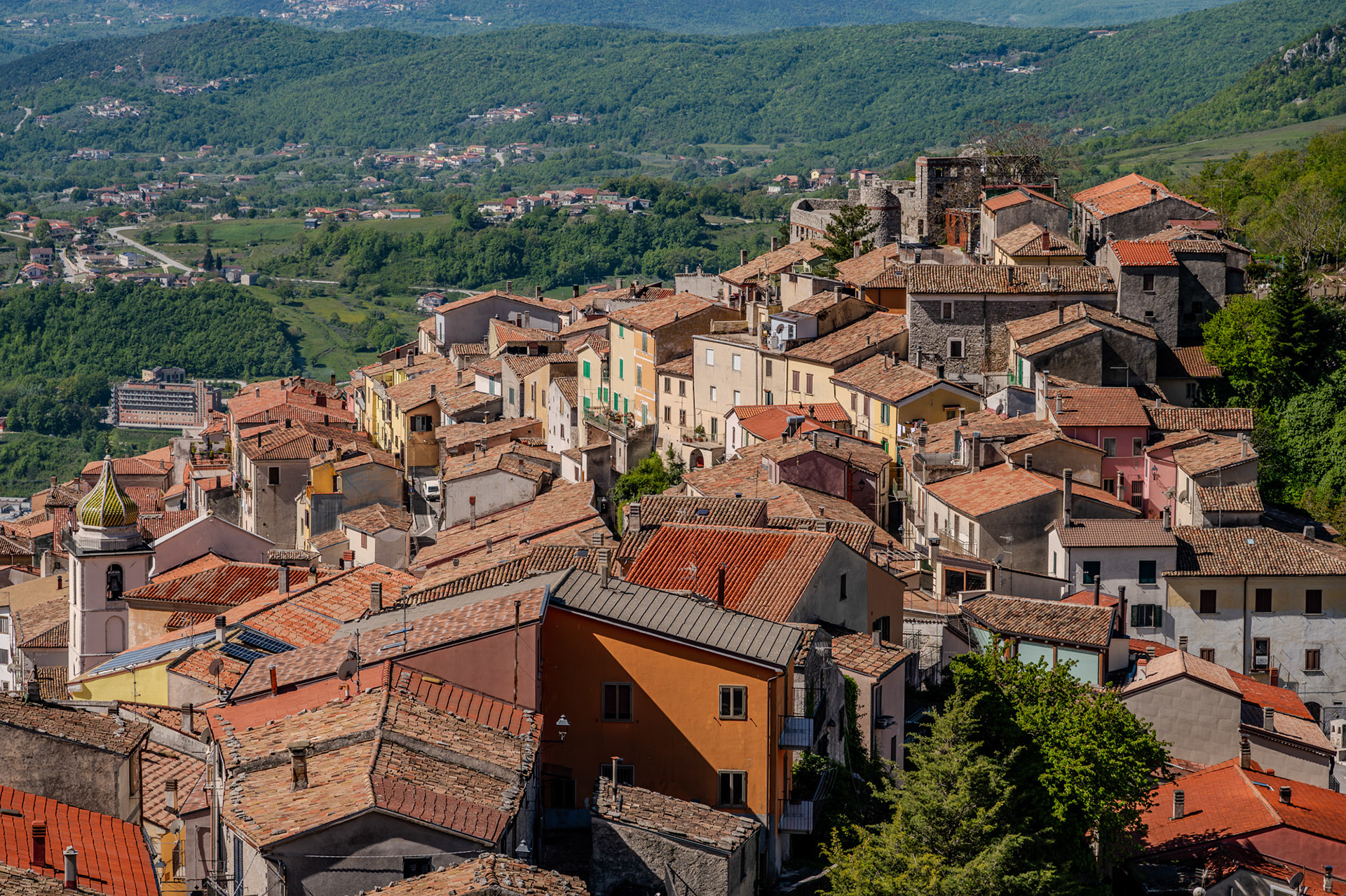
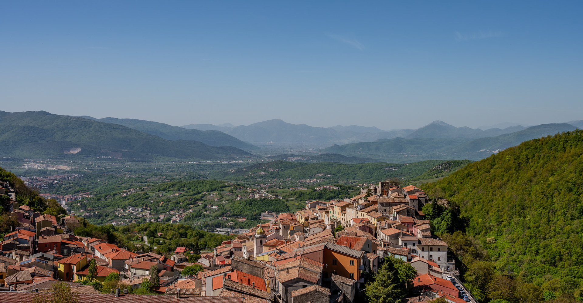
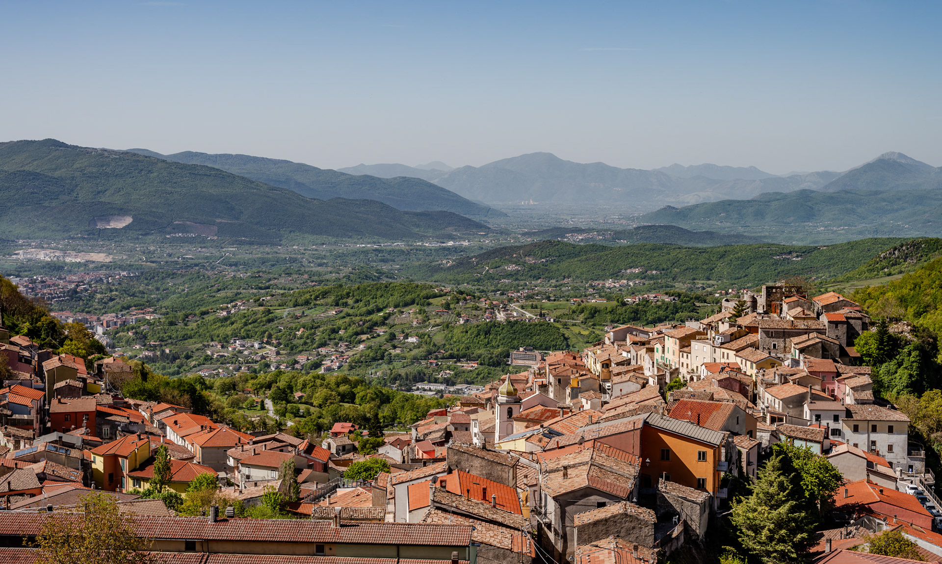
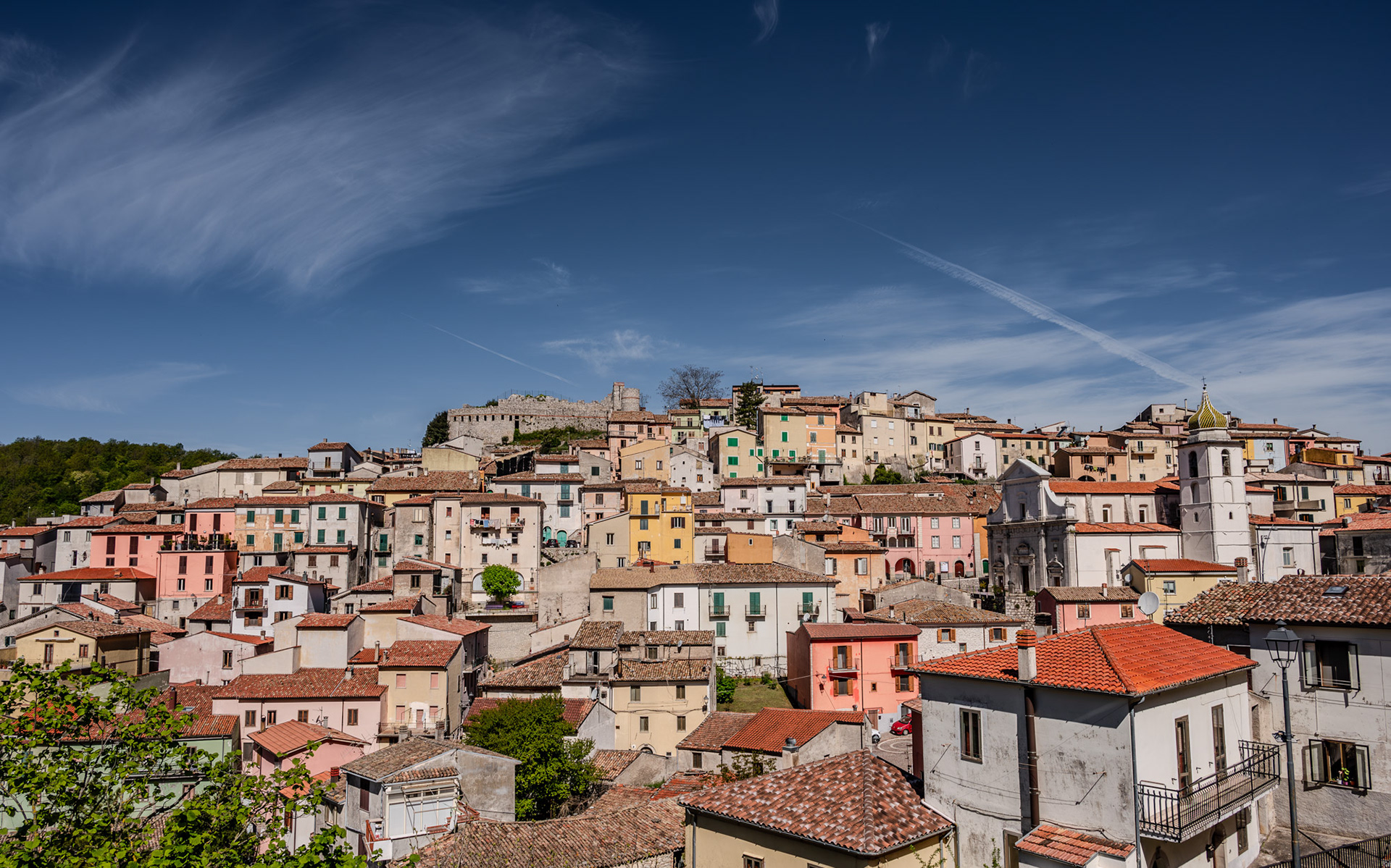
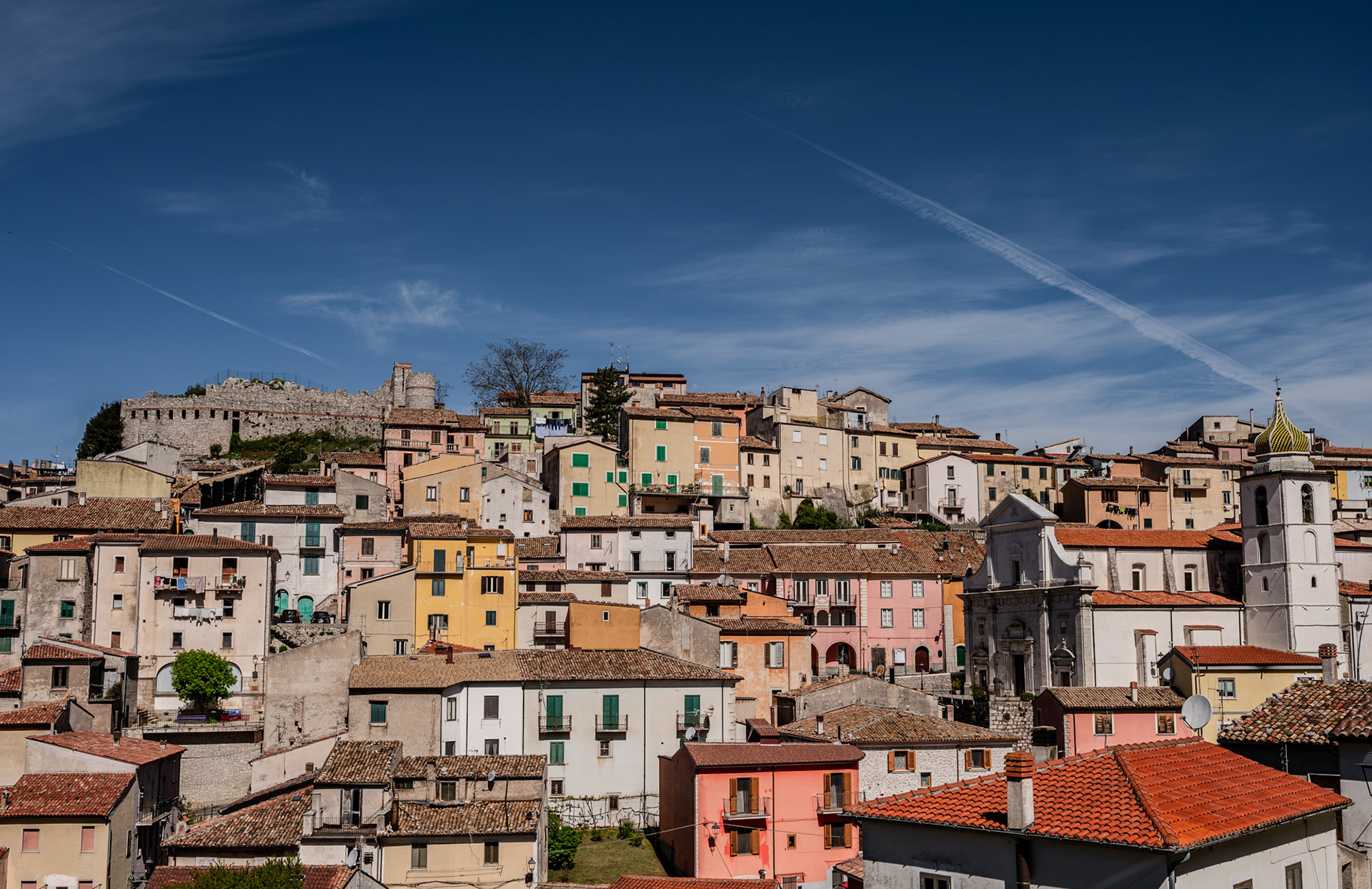
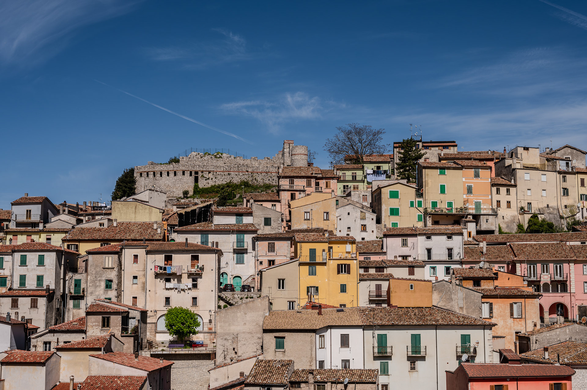
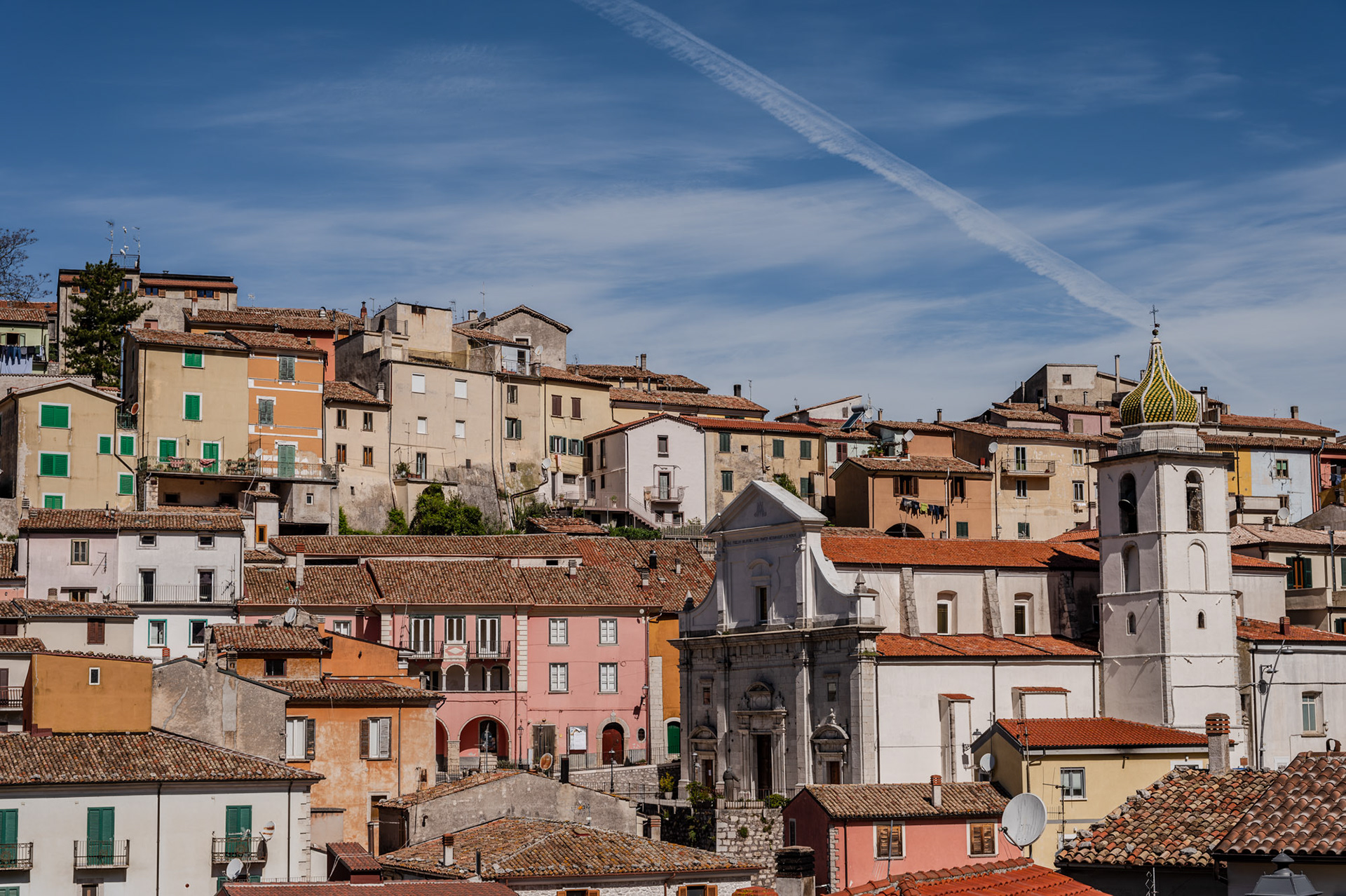
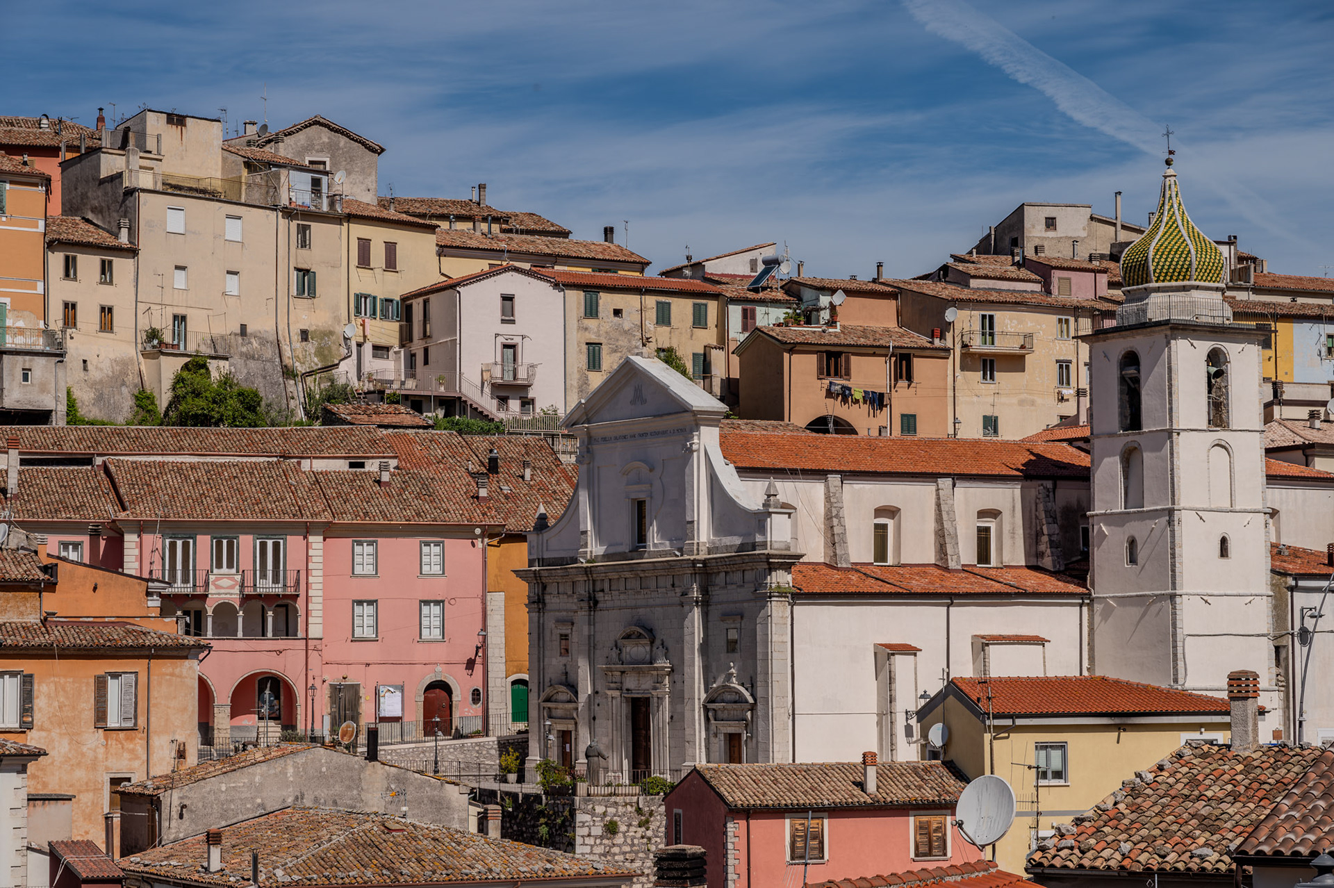
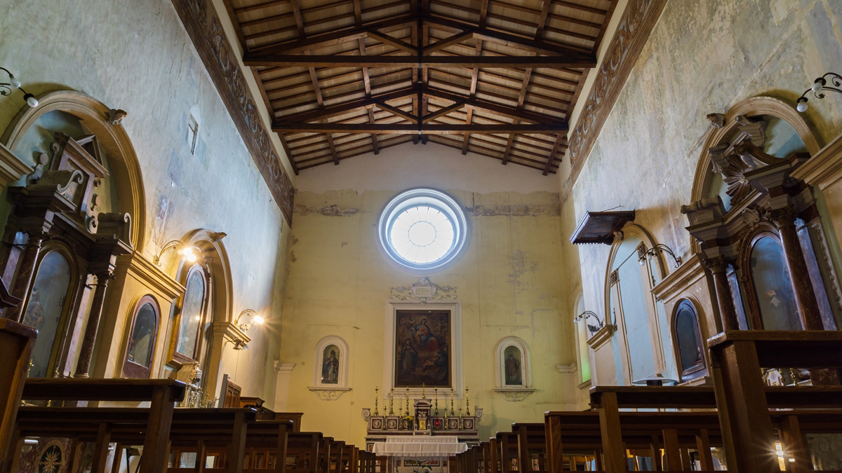
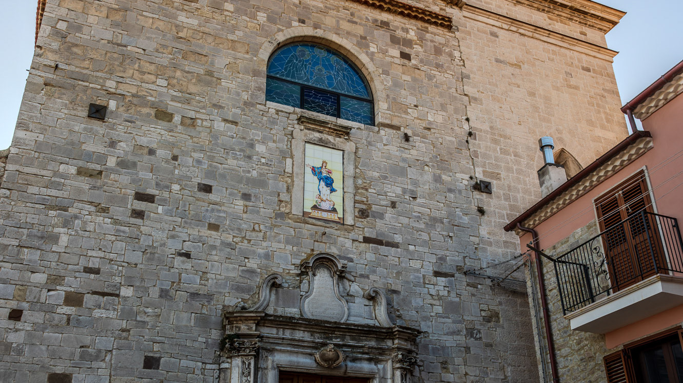
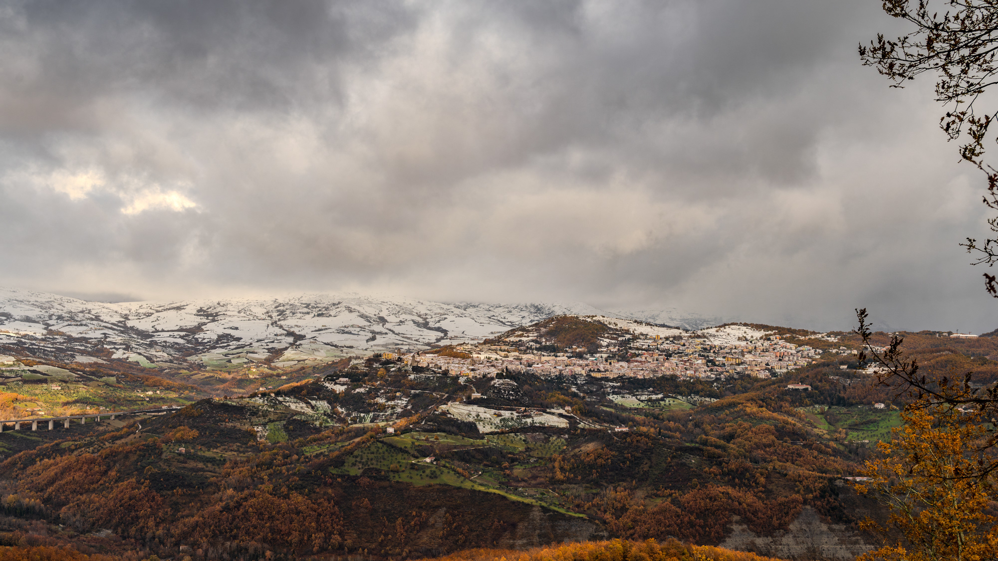
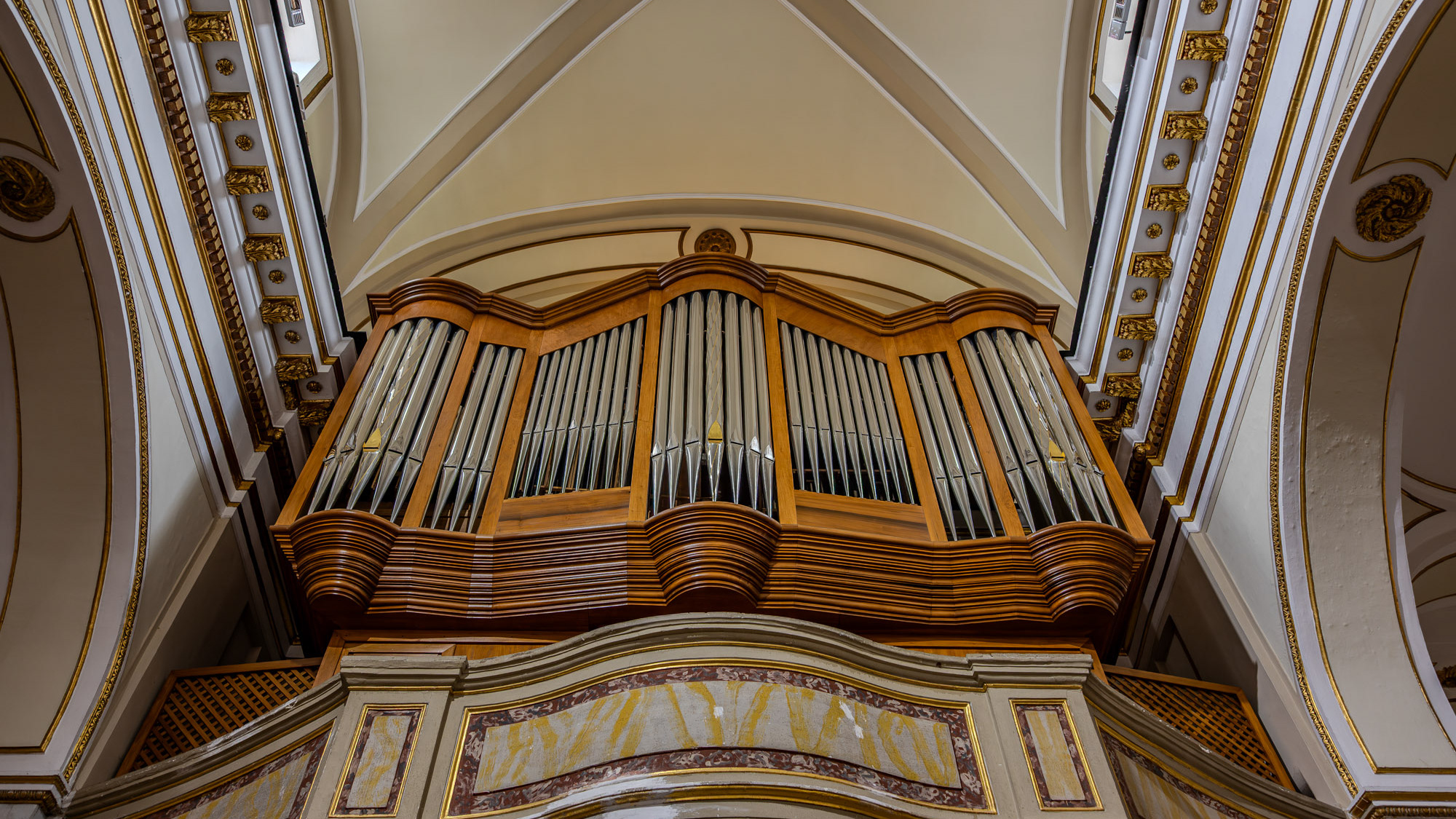
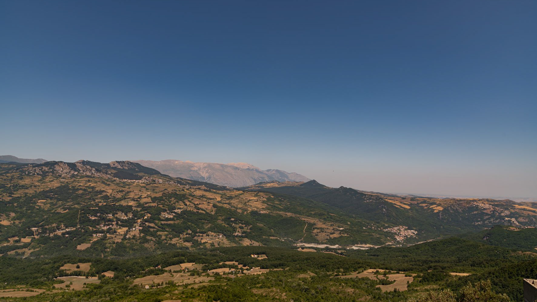
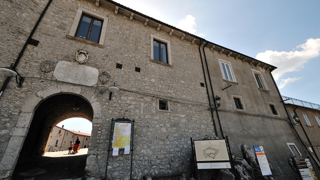
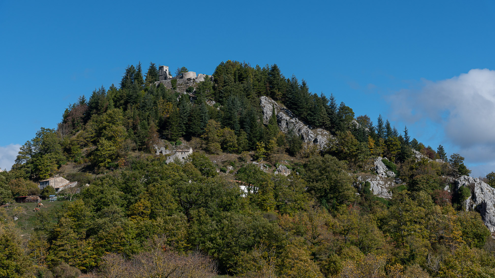
Vastogirardi (Rë Uàštë in molisano) è un comune italiano di 690 abitanti della provincia di Isernia nel Molise. Si presume che il nome Vastogirardi tragga origine dal nome di un capitano crociato, Giusto Girardi. In passato assunse anche il nome di Castrum Girardi per via del castello (altri toponimi attestati risultano Castel Girardo, Rocca Girardo, Guasti Belardi, Guardia Giraldo e Guardia Gerardo) e successivamente il nome attuale, che semplicisticamente si attribuisce alla felice posizione geografica del paese, dalla cui sommità è possibile godere di un vasto panorama, ma molto più scientificamente da un'allitterazione di gergo longobardo. Il patrimonio archeologico-architettonico di Vastogirardi annovera i resti di un santuario sannitico del II secolo a.C. in località S. Angelo e l'eccezionale complesso del castello fortificato, corte interna e complesso parrocchiale. Portali in pietra delle abitazioni, le stesse in pietrame a pezzatura irregolare, e aperture incorniciate da blocchi lapidei e mensole in pietre sagomate rappresentano invece il carattere dell'edilizia minore. Il castello fu costruito nel XIII secolo dagli Angioini sopra il colle montuoso del borgo. Successivamente appartenne ai Caldora e poi a famiglie del regno di Napoli, tra i quali i Caracciolo. Il castello fu oggetto di consolidamento nel XVIII secolo e con tale restauro fu trasformato in residenza gentilizia. Il castello è inglobato nelle mura di cinta della parte più alta del borgo, includendo la piazza e la chiesa parrocchiale di San Nicola. Si accede da un arco a tutto sesto. Della fortificazione angioina resta una torre circolare, e del periodo Caldoresco un loggiato nella parte all'interno del borgo prospiciente la piazza. Il castello assieme al borgo forma una ellisse. La Chiesa di S. Nicola di Bari risale al XV secolo ma l'edificio risulta integralmente restaurato nel 1702, come attesta un'iscrizione murata nel portale d'ingresso. Ad una sola navata, al cui interno è presente un antico ostensorio in argento, vi si accede attraverso un porticato a sua volta accessibile da una doppia rampa. Al suo fianco vi è un campanile in pietra.