Alfedena. The Montagna Spaccata lake
2023
The Montagna Spaccata lake is a small artificial lake on the southern borders of Abruzzo. It is located entirely in the province of L'Aquila, in the municipality of Alfedena.
You may also like
2025
Ortona. The Aragonese Castle
The Aragonese Castle is a fortification of Ortona, on the edge of the city and overlooking the sea. Famous residence of the protector of Ortona Ludovica Ianneys (1756-1812) from 1773 to 1812.
2023
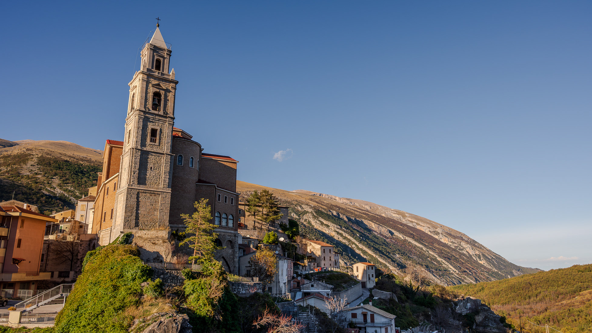
Palena, Church of San Falco and Sant'Antonino
Parish church of the town, it was built in the 12th century, after the earthquake of 1706, it was built again, however maintaining the 14th century bell tower
2023
Sulmona. Complex of the Santissima Annunziata.
The Santissima Annunziata complex is the most famous and representative monument of the city of Sulmona, declared a national monument in 1902. The main entrance to the complex is on the Annunziata square although other interesting visual glimpses of the building, especially for architectural interest, are admirable from the adjacent streets, via Pantaleo and via Paolina. The church, founded in 1320 by the confraternity of the Compenitenti together with the annexed hospital, does not retain traces of the original construction, both due to the damage suffered in the earthquake of 1456 and due to the architectural transformation interventions which radically modified the original structure of the sixteenth century. Furthermore, another ruinous seismic event, that of 1706, led to a new, important reconstruction intervention which gave the church a Baroque appearance, with an imposing façade with two orders of columns, the work of Maestro Norberto Cicco from Pescocostanzo ( 1710). The interior is divided into three naves and is covered with stuccos. Among the paintings that embellish the church are the frescoes by Giambattista Gamba on the vaults and the canvases on the side altars, among which the Pentecost of 1598 by a Florentine master and the Communion of the Apostles by Alessandro Salini stands out for their quality. The apse instead presents two works by Giuseppe Simonelli, a pupil of Luca Giordano, the Nativity and the Presentation in the temple and an Annunciation by Lazzaro Baldi, a Tuscan artist who was a pupil of Pietro da Cortona. The choir, in wood, was made by the local artist Bartolomeo Balcone between 1577 and 1579, while the part underneath the organs, in a vaguely rococo style, in carved and gilded wood, is by Ferdinando Mosca. The organs, on the other hand, are the one on the left side by Tommaso Cefalo di Vasto (1749) and the one on the right side was built by the Fedeli di Camerino in 1753. At the end of the right aisle is the altar of the Virgin, in polychrome marble, a work partly executed by the Roman artist Giacomo Spagna (1620), with subsequent contributions by artists from Pescocostanzo. On the right side, shortly after the entrance, there is the tomb of Panfilo Serafini, a Sulmona patriot who died in 1864. The sacristy has carved furniture dating back to 1643 with a series of sacred furnishings from the Baroque era and Neapolitan-made silverware; there are numerous pieces from the church that are placed on display in the local Civic Museum. The bell tower (built between 1565 and 1590, imposing, just over 65 meters high, has a square plan with sides of 7.20 m; it is built on two floors with a pyramidal spire and 4 mullioned windows on each floor. It is the bell tower and tallest tower in Abruzzo.The church was reopened for worship in December 2012 after three years of closure due to the 2009 earthquake.
2023
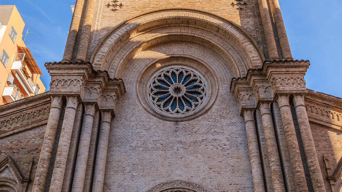
Pescara. Church of the Sacred Heart
It was built in 1886 in neo-Romanesque style. It has a main façade characterized by brick cladding. The interior has three naves, in neo-Romanesque style.
2024
Celano and the Fucino Plain
Celano is a splendid town in Abruzzo, overlooking the Fucino plain, composed of a medieval village which in the upper part still preserves the Castle dating back to the 14th century.
2025
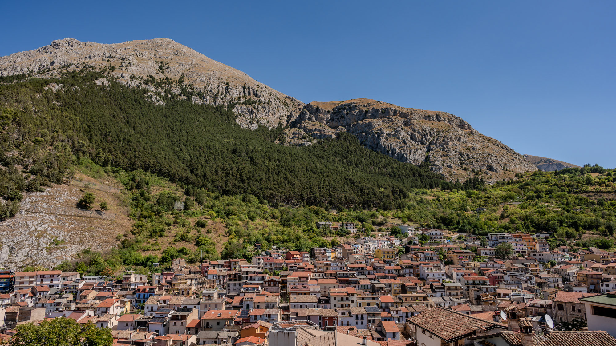
Lake Barrea. Glimpses of summer
2023
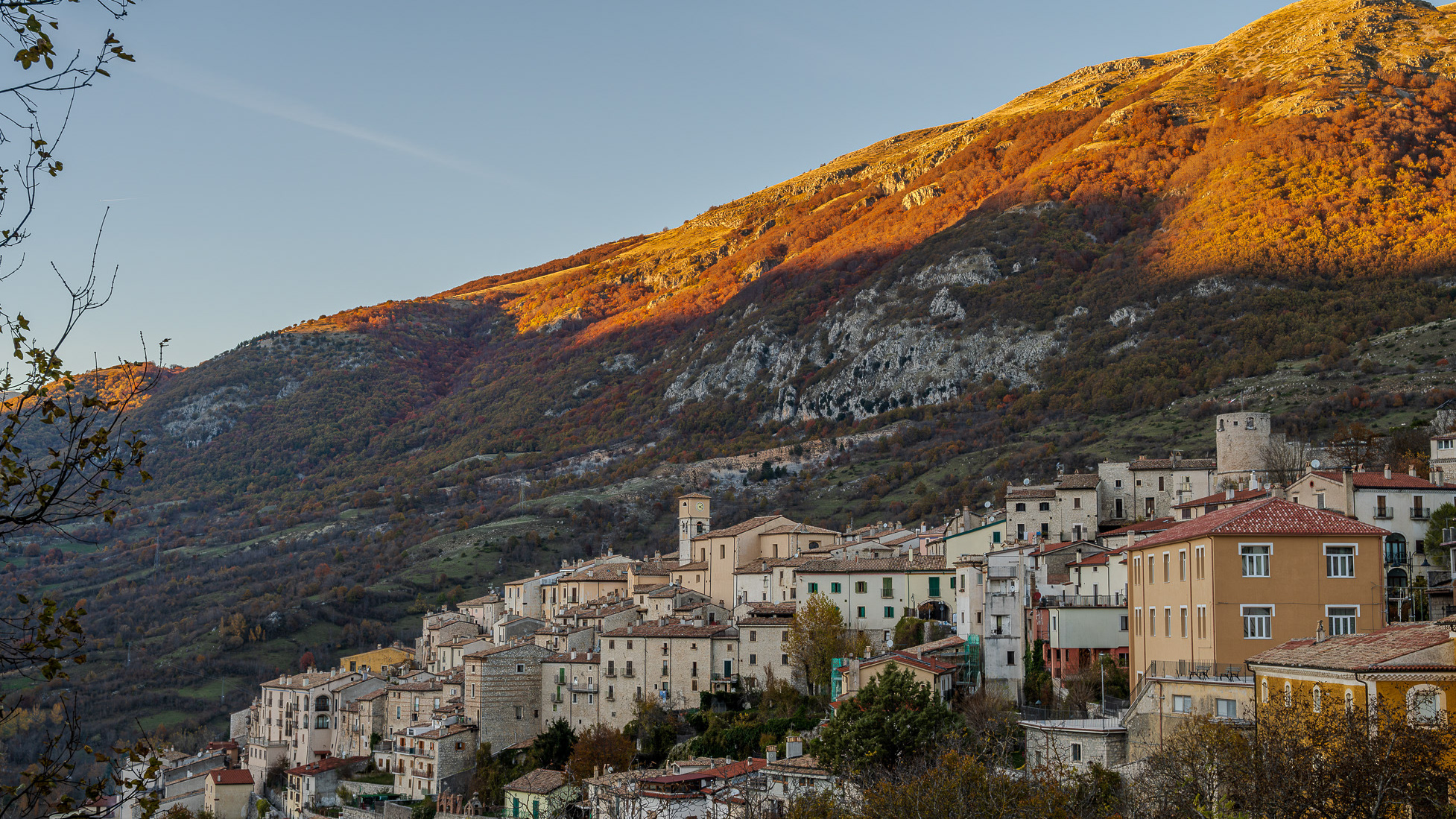
Barrea and its lake. Glimpses of autumn
Barrea (Varréa in Barreano dialect) is an Italian municipality of 705 inhabitants in the province of L'Aquila in Abruzzo. Located in Alto Sangro, it is a tourist resort thanks to the presence of the lake of the same name and the national park of Abruzzo, Lazio and Molise. Barrea is located in a mountain area belonging to the Alto Sangro basin and Lake Barrea. The inhabited center, located at an altitude of 1,060 m above sea level, occupies a protrusion at the eastern end of the lake enclosed by the steep sides of the Meta mountains to the south and Mount Greco to the north. The lake was created in 1951 by damming the Sangro river and is used for the production of electricity. The Barrea Lake Wetland, managed by the Abruzzo Lazio and Molise National Park Authority, has been on the list of areas covered by the Ramsar Convention since 1976.
2017
Mainarde
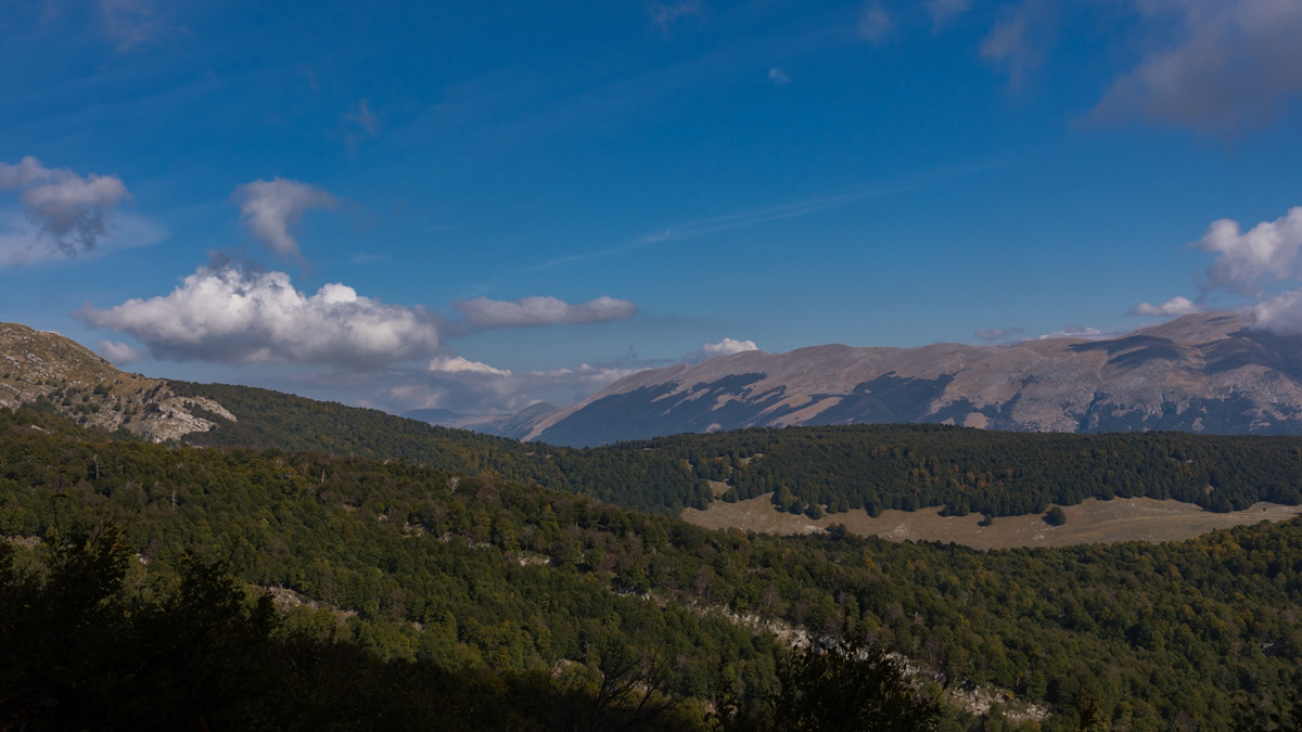
Mountain range which, compared to the Abruzzo National Park, extends from north to south and whose crests delimit the border between Lazio (west) and Molise (east). Due to its importance both from a naturalistic and faunistic point of view, the mountain range was inserted by presidential decree in the Abruzzo National Park in January 1990. It includes high altitude peaks that are around 2000 meters: Monte Meta (2241), Monte Metuccia, Coste dell'Altare, Monte Mare (2020), Monte Cavallo (2039), Monte Forcellone (2030). The Mainarde, like the rest of the Apennine mountains, are very ancient and of limestone origin. On them the erosion of winds and waters has left clear traces in gorges, gullies and beautiful potholes of the giants, the latter very clearly visible by anyone who looks out from the viewpoint of San Michele. Covered by dense arboreal vegetation (beech groves) up to an altitude of 1800-1900 meters, the Mainarde - beyond this altitude - offer a spectacular turf, ideal habitat for particular types of endangered fauna such as the Abruzzo chamois the Marsican brown bear, the Apennine wolf and the lynx.
2023
Sulmona. Church of San Filippo Neri
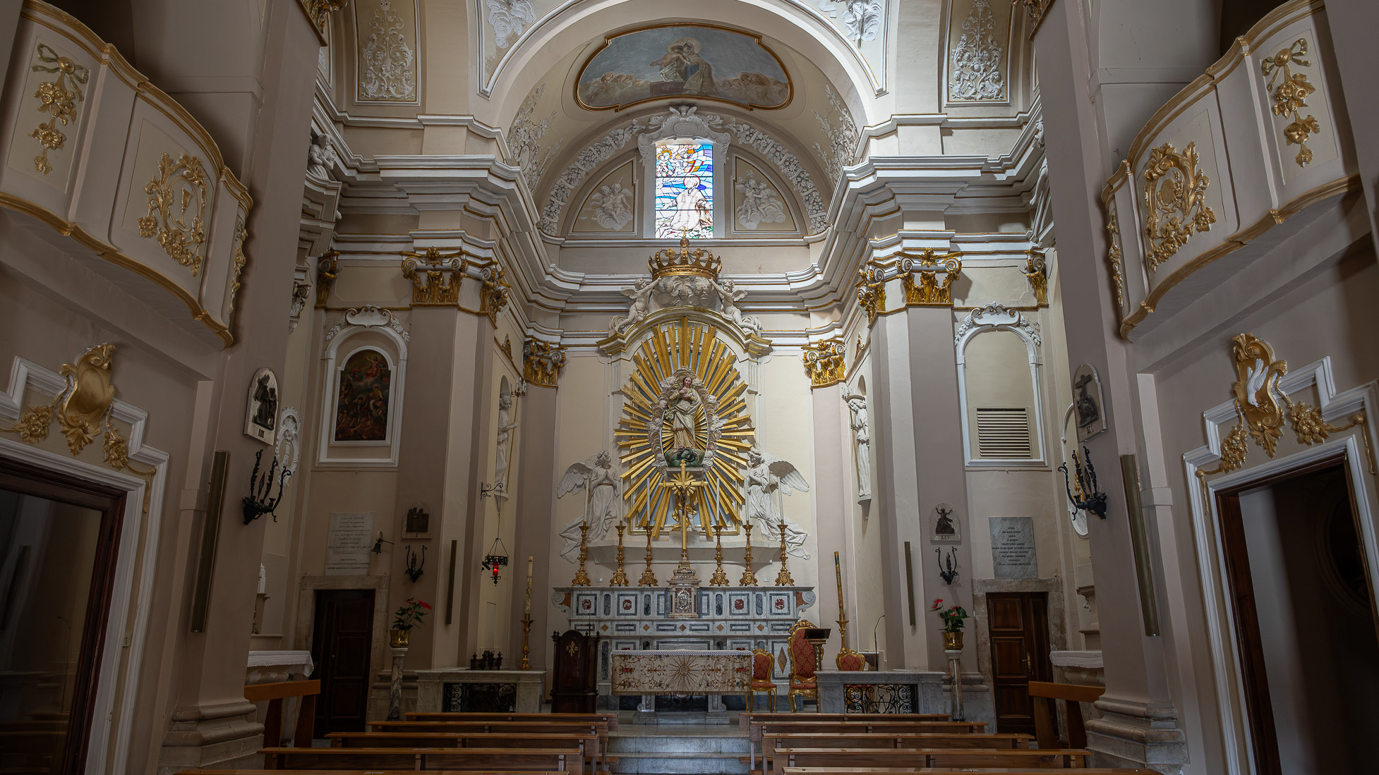
The construction of the church and oratory of San Filippo Neri began in the mid-17th century and was completed in 1677. However, in the beginning the congregation was based - together with that of the Jesuit Fathers - in the church of Sant'Ignazio , located in Piazza XX Settembre and no longer existing today; only later did it move to Piazza Maggiore - the current Piazza Garibaldi - within the lively and populous Borgo Pacentrano. The earthquake of 1706 forced a reconstruction of the complex, which Baron Giambattista Mazara magnanimously took charge of between 1785 and 1794, deserving the commemorative plaque placed on the right wall of the church; the adjoining convent had to assume considerable decorum, so much so that in 1796 it was even able to host King Ferdinand IV of Bourbon on a visit to the city. In 1799, with the suppression of the Filipino order, the Fathers left the city and the sacred building, abandoned and reduced to profane use, was transformed into an oven and also used for military purposes. Likewise, the oratory, confiscated by the Royal Property, had various uses and today is the headquarters of the Command of the Guardia di Finanza. Only in 1920 did the church regain its religious use, becoming the seat of the parish of Sant'Agata. From here the traditional demonstration of the Madonna fleeing into the square begins on Easter morning, the joyful conclusion of Holy Week in Sulmona.
2022
Abruzzo, Italy. Spectacular landscapes
