You may also like

2016
Borrello (CH)
The village of Borrello, as also handed down by Benedetto Croce, was a fief of the Borrello family: the Abruzzo philosopher claims to have found a document from the year 1000 which would suggest some lordship of this family already at the end of the 10th century. In fact, the news is also confirmed in the most ancient historical sources, consulted and collected in the eighteenth century also by Antinori for the drafting of his Annali degli Abruzzi, in which the progenitor of the dynasty, a certain Borrello from whom the Castle then took its name and he perpetuated it over the centuries, he would have been a Frankish leader linked to the Counts of the Marsi. Croce, on the other hand, asserts that the family descends from some exponent of the Borel family of French origin.
2018
P.N.A.L.M. - Part III
The National Park of Abruzzo, Lazio and Molise is a national park including for the most part (about 3/4) in the province of L'Aquila in Abruzzo and for the remainder in that of Frosinone in Lazio and in that of Isernia in Molise. It was inaugurated on 9 September 1922 in Pescasseroli, the current headquarters and central management of the park, while the body of the same name had already been established on 25 November 1921 with a provisional directorate. Its establishment took place officially with the Royal decree-law of 11 January 1923.
2022
Abruzzo, Italy. Spectacular sunrise.
2018
Barrea and its lake (AQ)
Barrea is located in a mountainous area overlooking the Sangro Valley and the Barrea Lake. The inhabited center, located at an altitude of 1,060 m a.s.l., occupies a ledge at the eastern end of the lake enclosed by the steep sides of the Meta mountains to the south and Mount Greco to the north. Its territory is included in the national park of Abruzzo, Lazio and Molise. The lake was formed in 1951 by the damming of the Sangro river and is used for the production of electricity. The Wetland of Lake Barrea, managed by the Abruzzo, Lazio and Molise National Park Authority, has been on the list of areas provided for by the Ramsar Convention since 1976.
2017
P.N.A.L.M. - Part II
The National Park of Abruzzo, Lazio and Molise is a national park including for the most part (about 3/4) in the province of L'Aquila in Abruzzo and for the remainder in that of Frosinone in Lazio and in that of Isernia in Molise. It was inaugurated on 9 September 1922 in Pescasseroli, the current headquarters and central management of the park, while the body of the same name had already been established on 25 November 1921 with a provisional directorate. Its establishment took place officially with the Royal decree-law of 11 January 1923.
2023
Stiffe Caves, Abruzzo, Italy
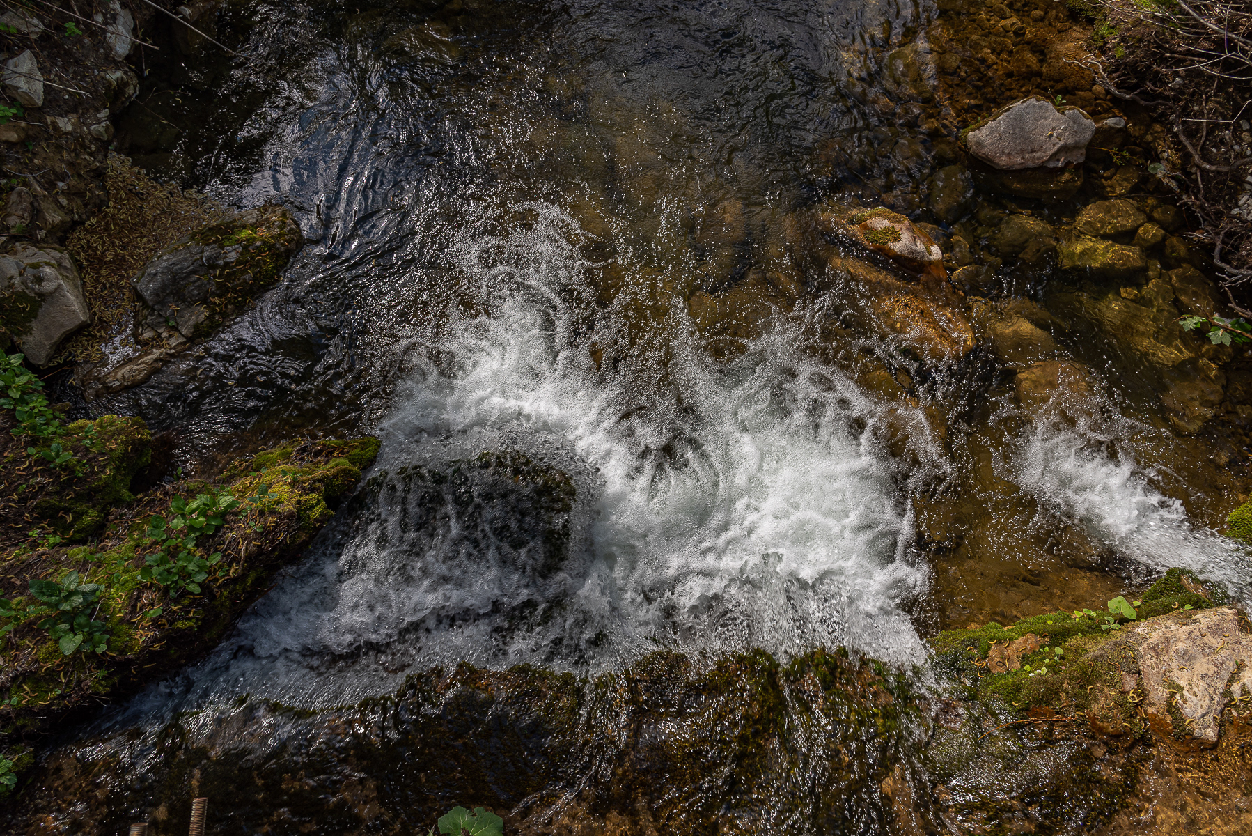
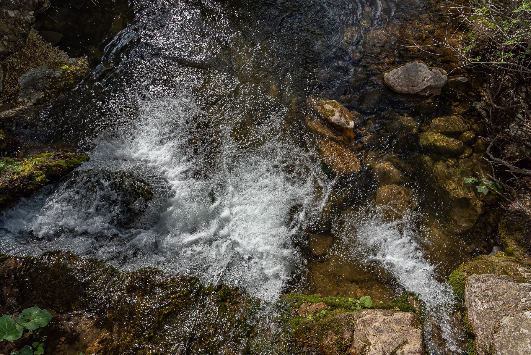
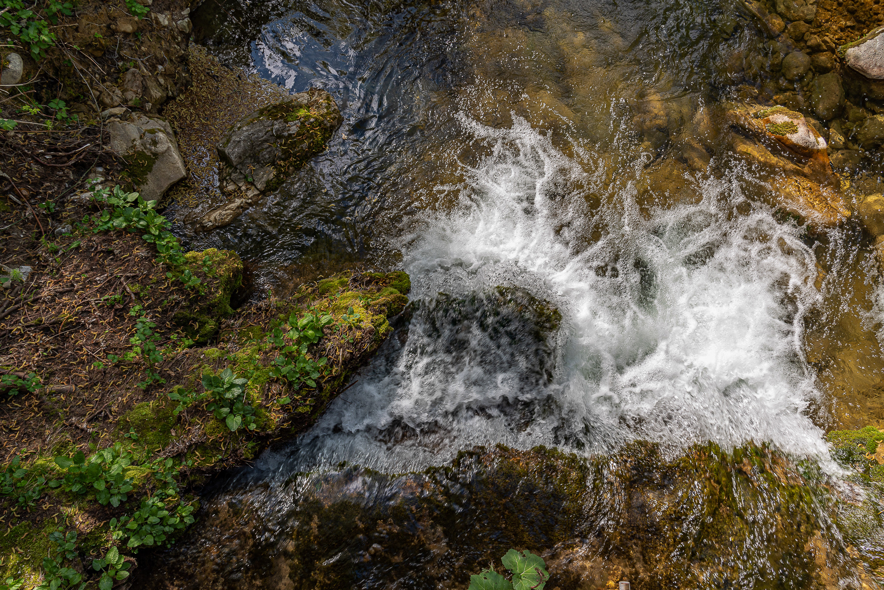
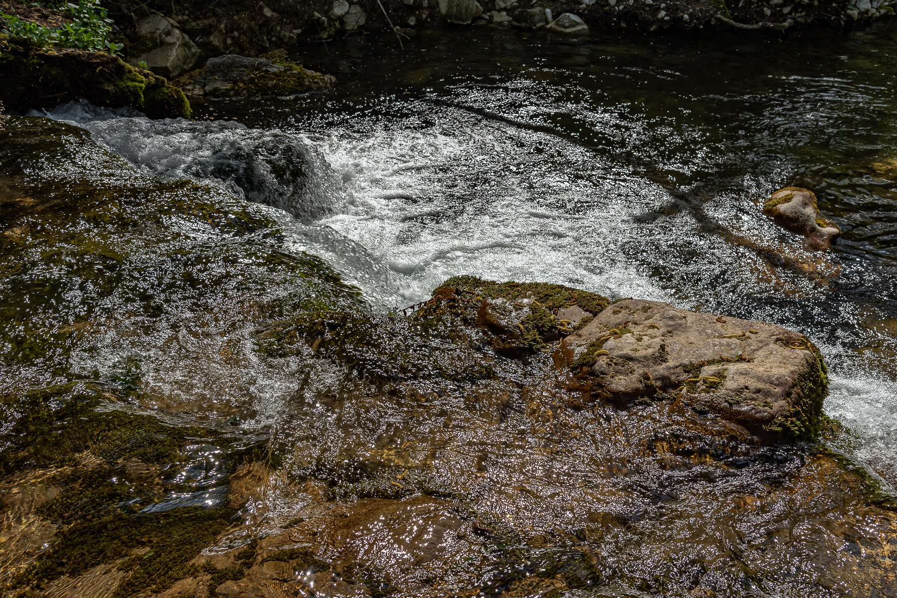
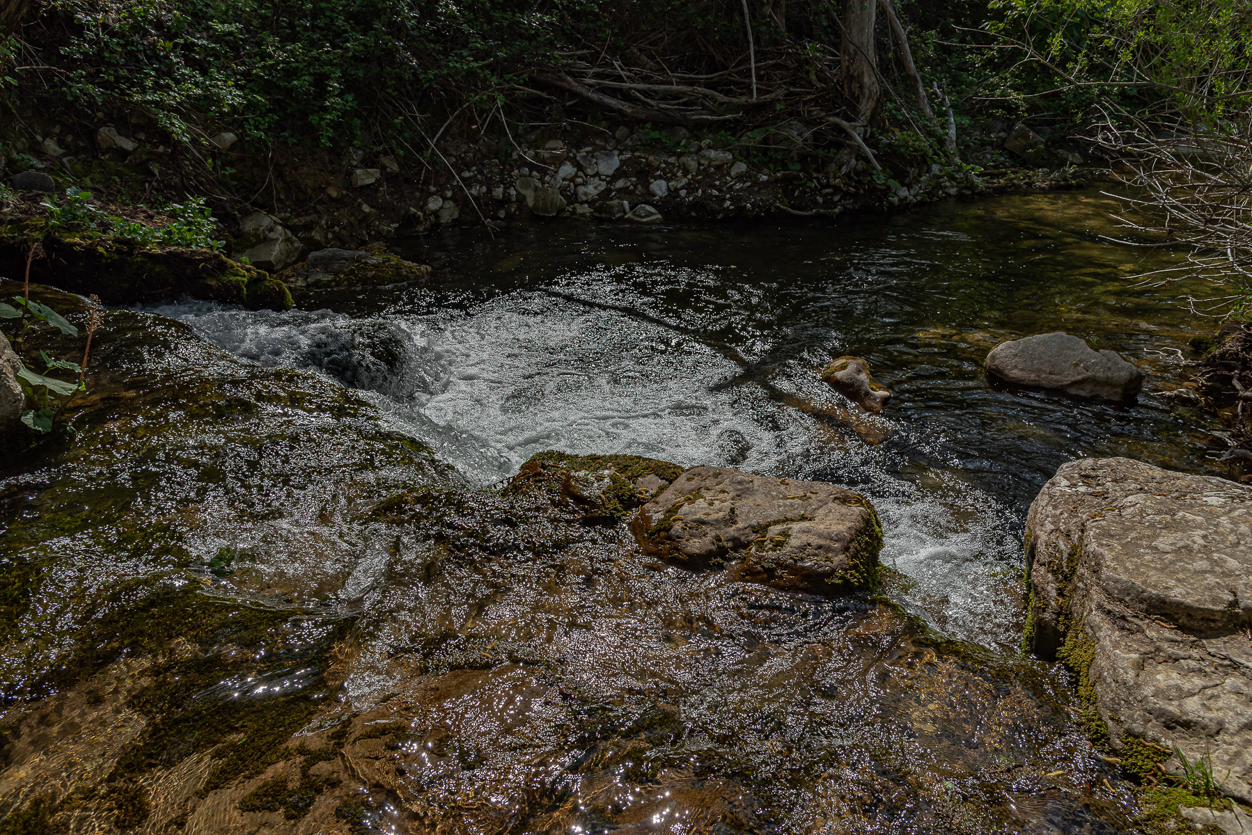
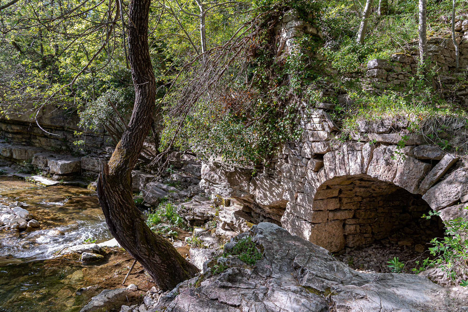
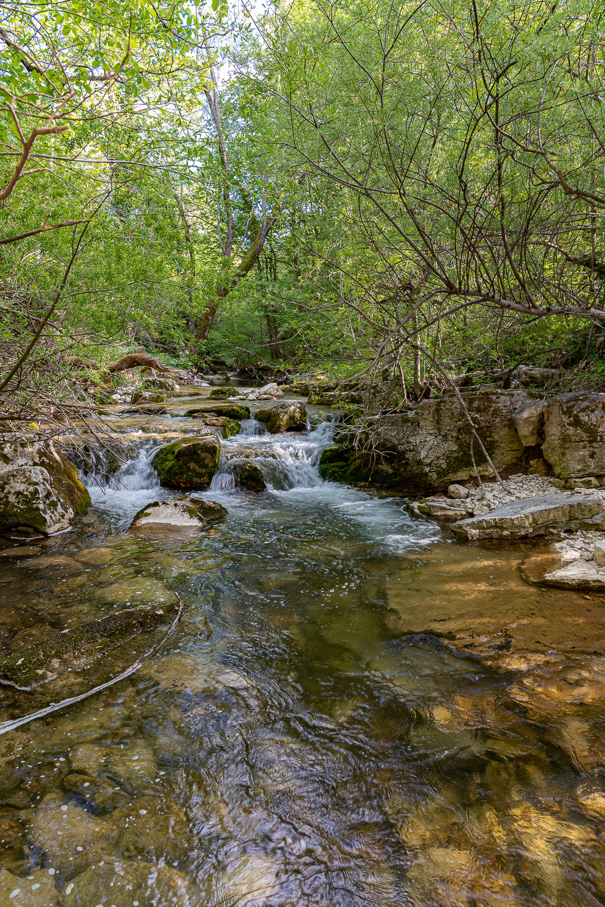
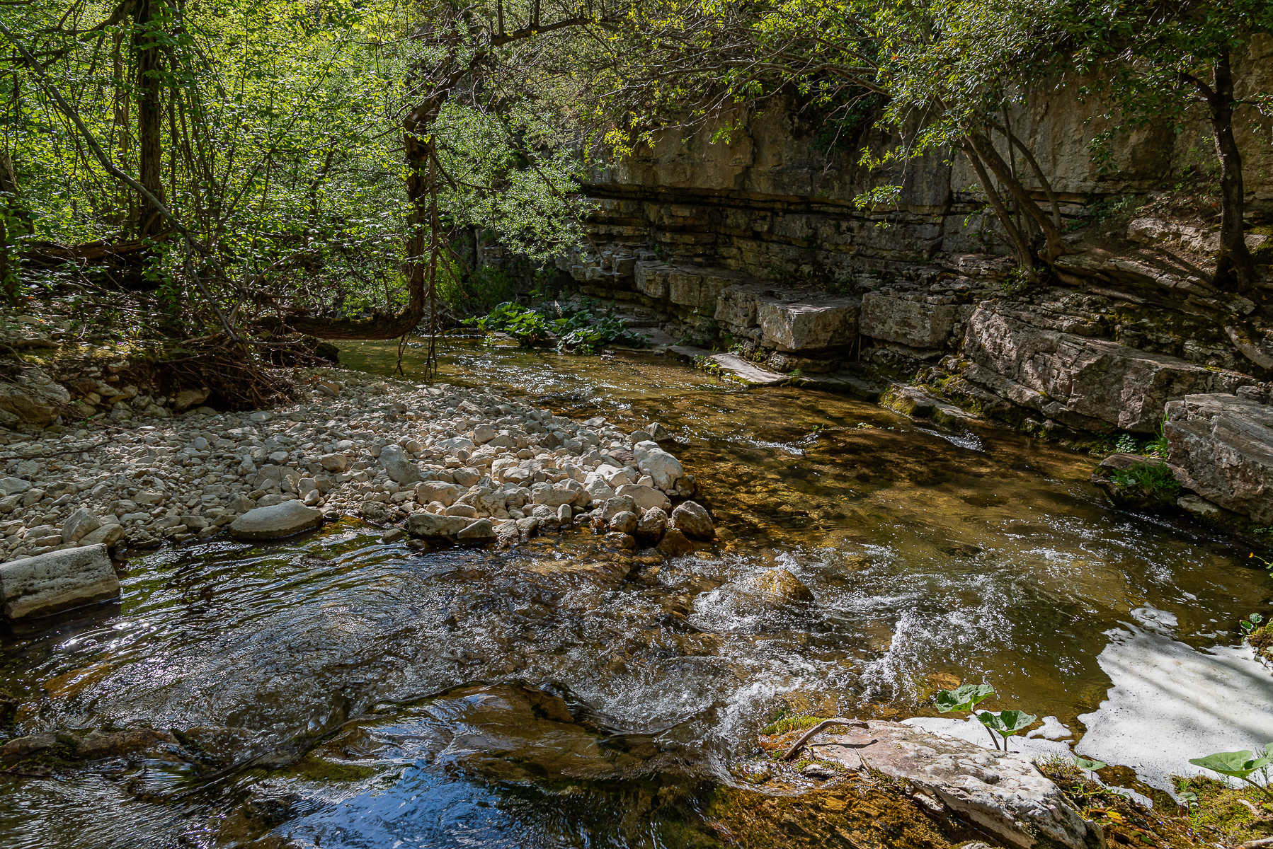
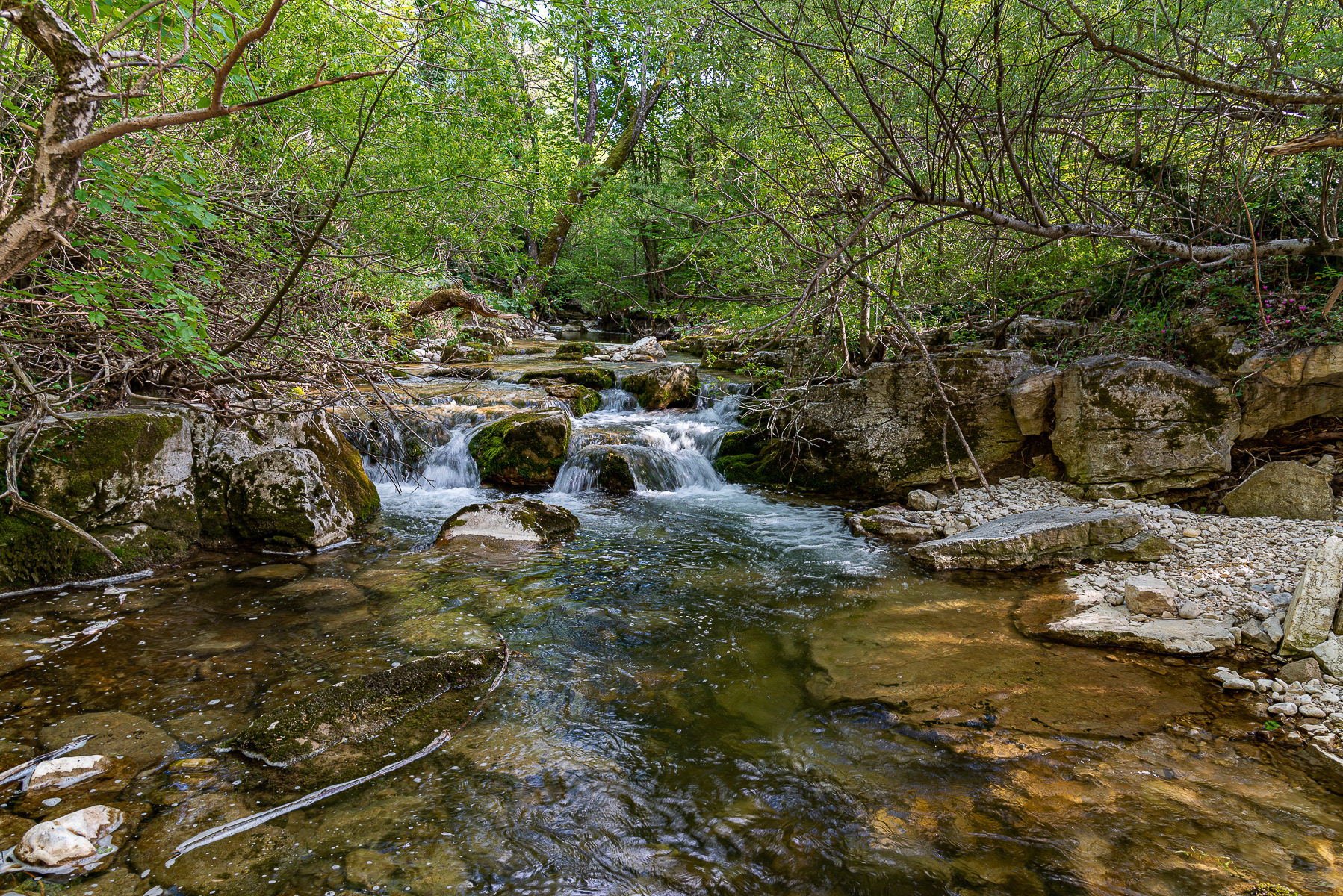
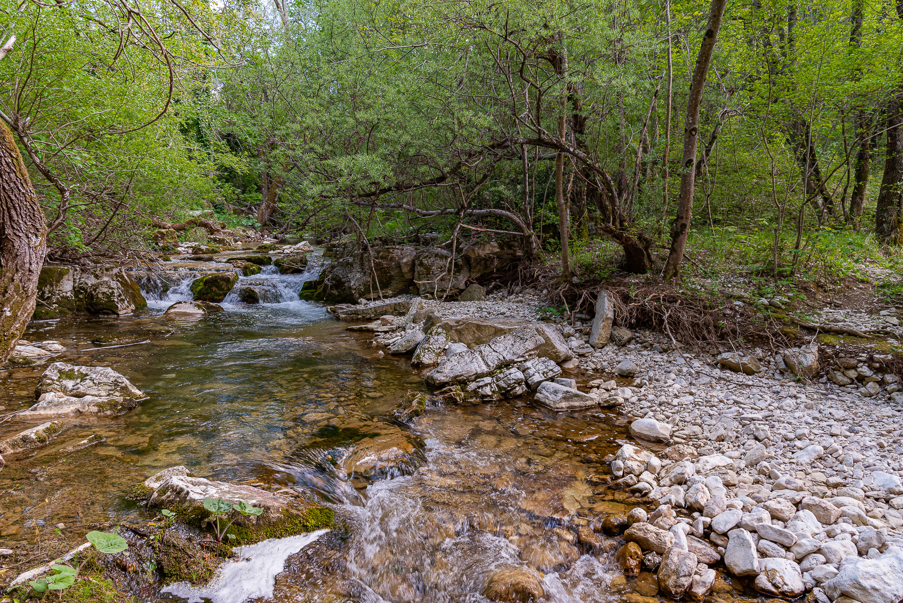
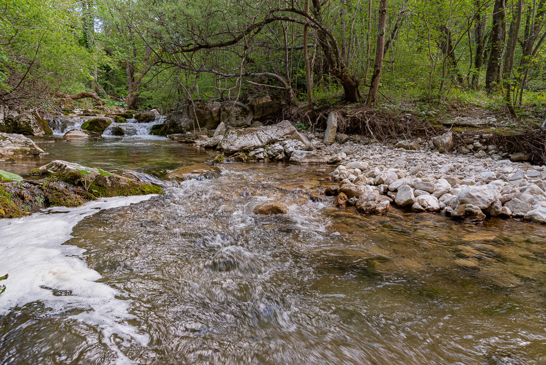
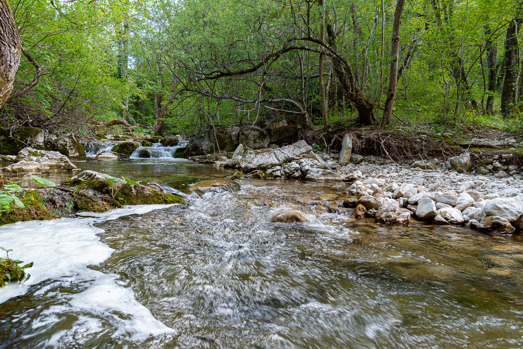
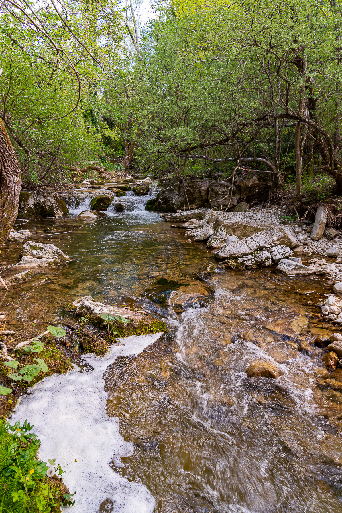
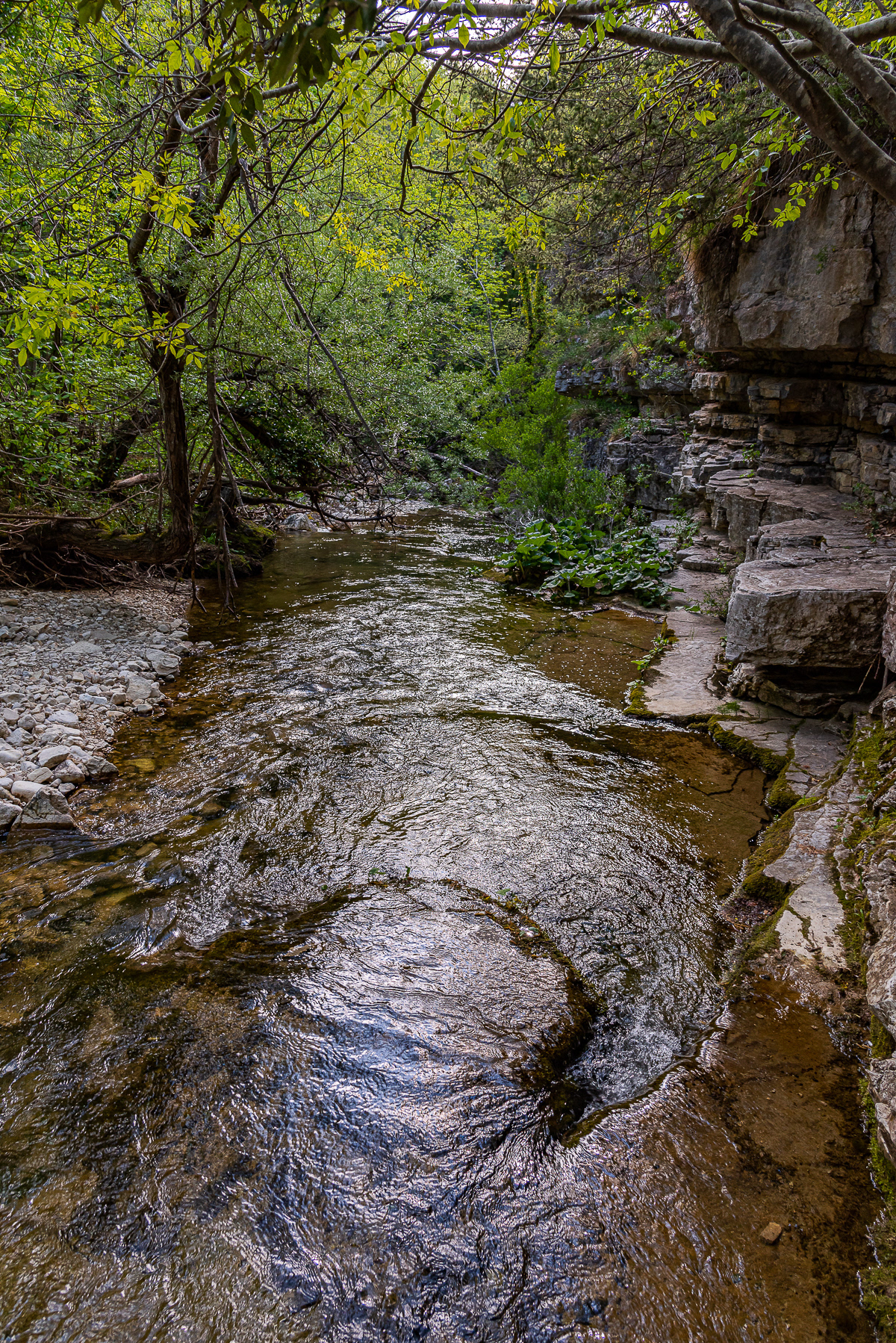
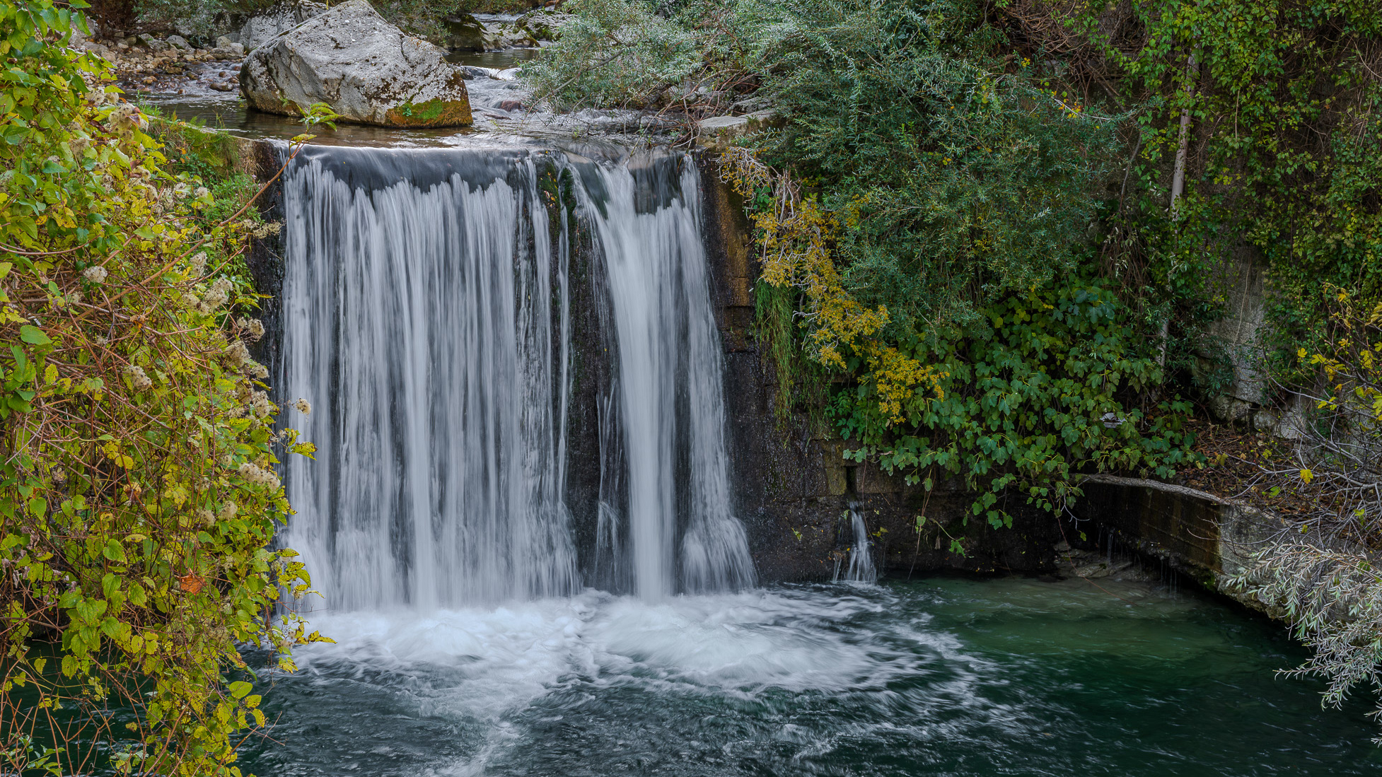
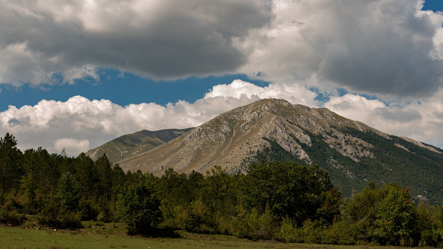
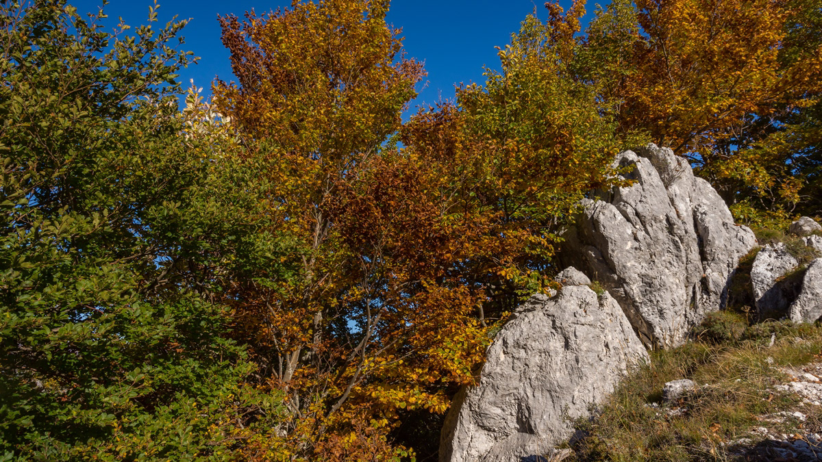
The Stiffe caves are a complex of karst caves located near Stiffe, in the territory of the municipality of San Demetrio ne' Vestini (AQ), in Abruzzo, included within the Sirente-Velino regional natural park. Testimony of a unique active resurgence in Italy, made accessible to the public since 1991, today they constitute one of the main naturalistic sites of the L'Aquila area, recording over 40,000 visitors annually. The Stiffe caves represent one of the best-known karst phenomena in central Italy. The complex has been used since the Bronze Age even if archaeological remains have been found inside it dating back to the Neolithic and Eneolithic. The presence of an underground stream that gave rise to the complex led, in 1907 and on the initiative of the Marquis Alfonso Cappelli, to the construction of a hydroelectric plant of which some remains are still visible today near the entrance to the cavities. In 1956, when the plant was dismantled, the first speleological explorations began; after a first visit in 1957, the following year it was the Marche Speleological Group of Ancona that went beyond the first natural siphon. Subsequently, the Roman Speleological Group and, starting from the eighties, the Aquilano Speleological Group continued the first exploration attempts. The speleological excursions were then followed by a process of valorisation of the site which led to the opening of the complex to the public in 1991. In 1994 a mixed group of speleologists from L'Aquila and France managed to access for the first time the unexplored area after the first waterfall while in 1996 the speleology museum named after Vincenzo Rivera was opened. A second extension of the tourist route, up to the current length of about 700 m, was made in 2007 with the opening of the second waterfall to visitors, while the extension of the explored part of the cavity exceeds one kilometre. From 1996 to 2018 the site was managed by the public-private company Progetto Stiffe S.p.A. while it is currently managed directly by the Municipality of San Demetrio ne' Vestini. The 2009 earthquake led to a closure of the caves for safety reasons; the complex was only reopened to the public in 2011.
2023
Fara San Martino. The Gorges of San Martino
the Gole di San Martino opens with a narrow passage from the high rocky walls on the eastern slope of the Maiella, just outside the town of Fara. This is the beginning of the gorge-like valley that leads to the highest peak of the Maiella, Monte Amaro (2793 m), and includes the wildest territories of the entire massif with a 14 km long route and a difference in height of 2300 m . It can be divided into three parts: the Valle di S. Spirito, the Valle di Macchia Lunga and the Val Cannella. The latter ends with a glacial cirque in the center of which is the Manzini refuge. According to popular tradition, these suggestive gorges, just 2 m wide and about 30 m long, were opened by San Martino with the strength of his arms to allow the people of Fares to access the high pastures of the Majella more quickly. After walking a few meters, you can see the monastery of San Martino in Valle which an archaeological excavation has recently brought to light. In reality, this remarkable scenario was produced by the erosive and incessant action of the torrential waters coming from the melting of the surrounding snowfields during the Quaternary, in particular during the glaciations. With an evident franapoggio stratification that highlights the oldest terms as you go up, the oldest rocks of the Maiella emerge here, represented by beige-hazelnut platform limestones dating back to the lower Cretaceous. They contain fossil remains of algae and benthic foraminifera. Near the monastery, it is possible to observe an outcrop full of rudists, lamellibranchs who build cliffs now extinct but clearly visible in Maiella on Cima Murelle.
2023
Palena, Church of San Falco and Sant'Antonino
Parish church of the town, it was built in the 12th century, after the earthquake of 1706, it was built again, however maintaining the 14th century bell tower
2022
Abruzzo, Italy. Spectacular landscapes
Abruzzo is an Italian region located east of Rome, between the Adriatic and the Apennines. The hinterland is mostly made up of national parks and nature reserves. The region also includes medieval and Renaissance villages perched on the hills. The regional capital, L'Aquila, is a city surrounded by walls, damaged by the earthquake of 2009. The Costa dei Trabocchi, with its sandy coves, takes its name from the traditional fishing jetties.
2023
Fara San Martino, Chieti. San Martino in Valle Abbey
The abbey of San Martino in Valle is a ruined Benedictine abbey near the Gole di Fara San Martino in Fara San Martino in the province of Chieti. The first historical sources on the Church located inside the Castle of Rocca S. Martino date back to 829 which list it among the possessions of the monastery of Santo Stefano in Lucania of Tornareccio, to which it had been donated by Pepin the Short. In 844 it passed under the control of the bishop of Spoleto and subsequently among the possessions of the abbey of San Liberatore a Majella. In 1044 the Theatine count Credindeo on his deathbed and for the redemption of his soul and his loved ones (recalling the capitulars of the Longobard king Liutprando) donated the church to the venerable priest Isberto so that he could endow it with an independent Benedictine monastery. In 1172 it became part of the diocese of Chieti. In 1222 Pope Honorius II confirmed the donation of Count Credindeo. The monastery was suppressed in 1452 by Pope Nicholas V and united with the Vatican Chapter, to return in 1789 to the archdiocese of Chieti. The definitive abandonment of the monastery took place on 8 September 1818 due to a flood that covered it with debris. The first excavations for its recovery took place in 1891, but only with those of 2009 were the remains of the structure fully brought to light. The remains of the abbey show a gate to an internal courtyard bordered by a three-arched portico, on the north side of which is a bell gable. The interior of the church had to have three naves with stone slab flooring. A wall with three arches separates the central nave from the northern one, from where one enters what must have been the initial nucleus of the church, dug into the rock, which suggests the birth of the place of worship as a hermitage.
Back to Top