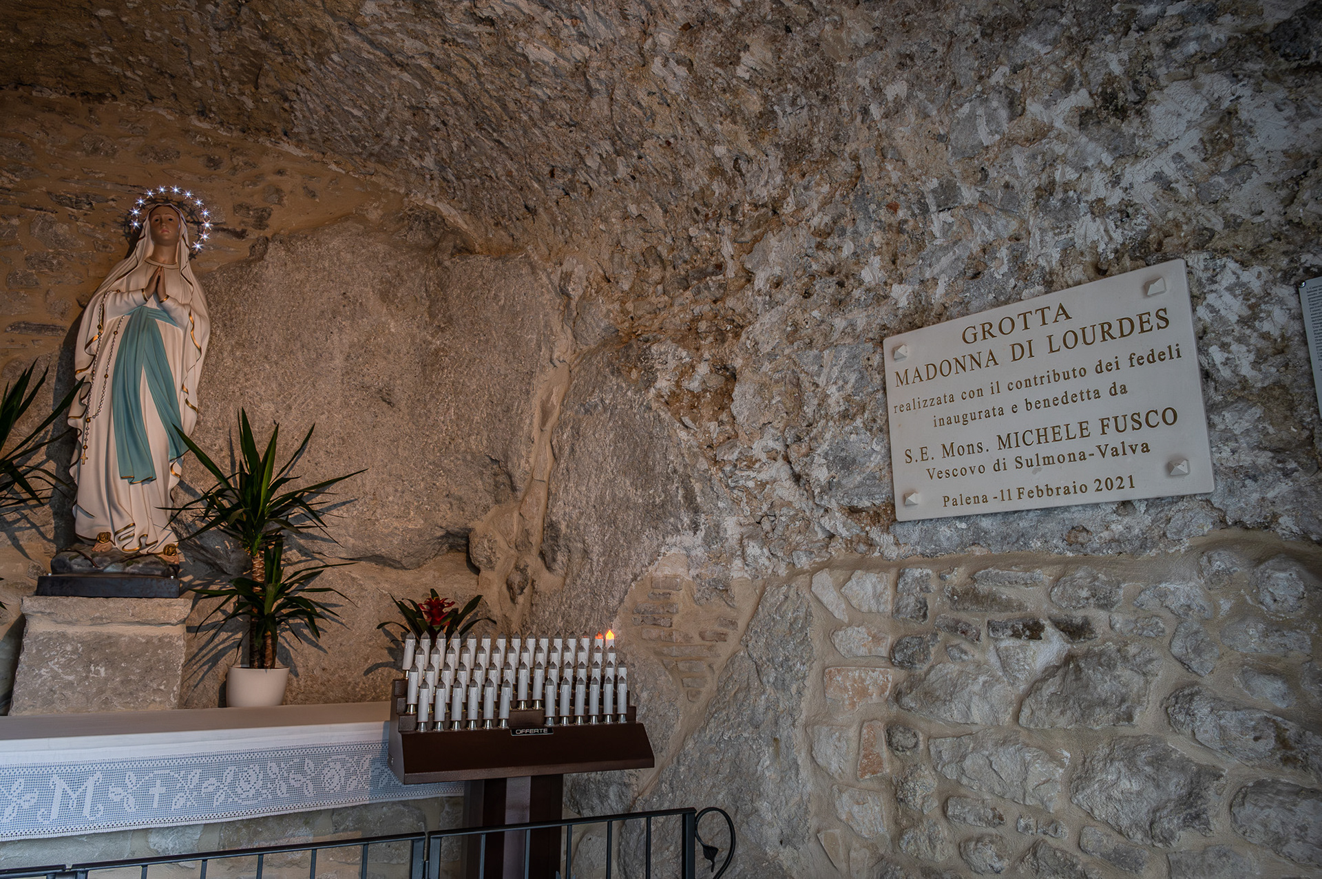
2023
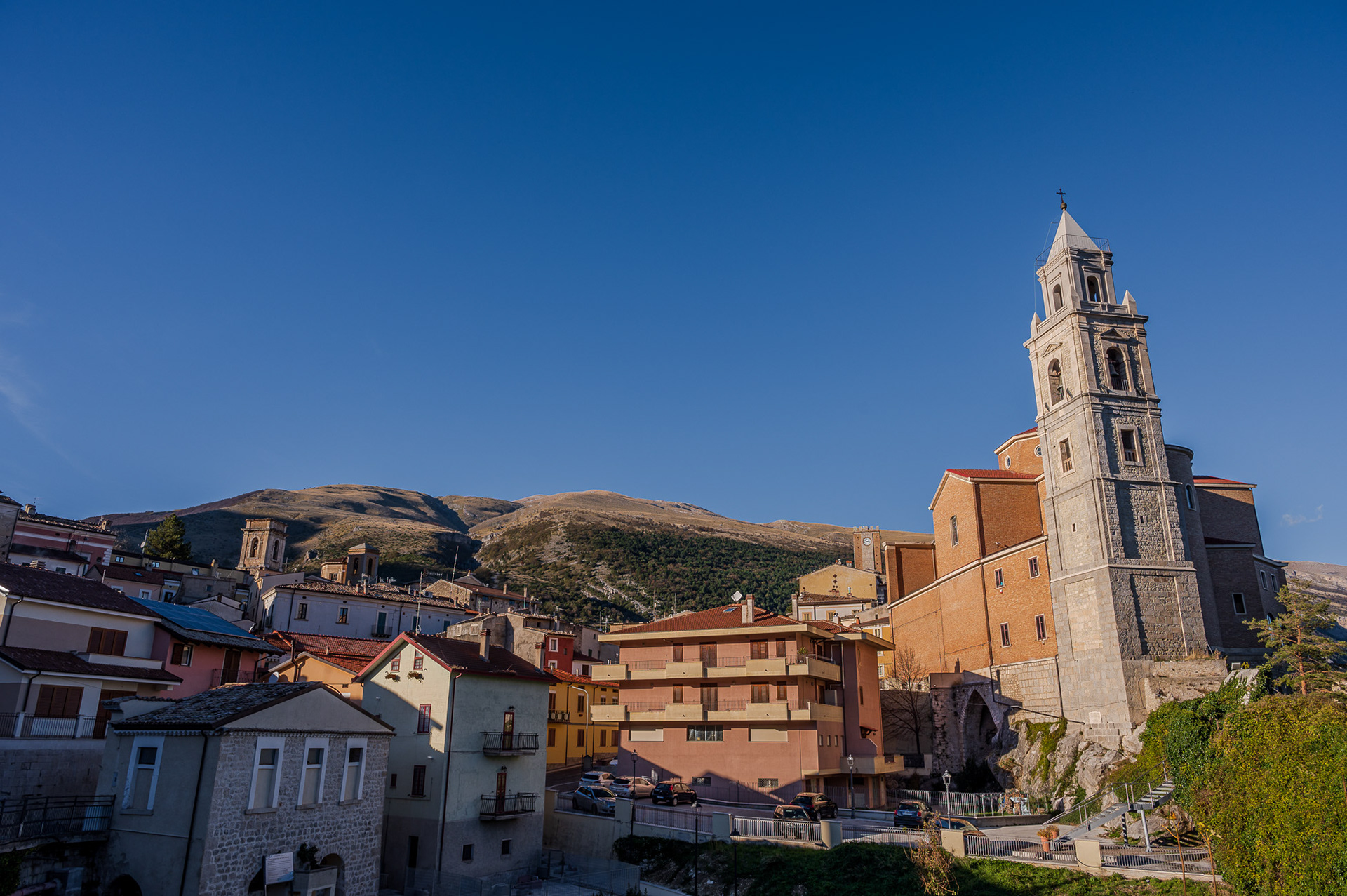
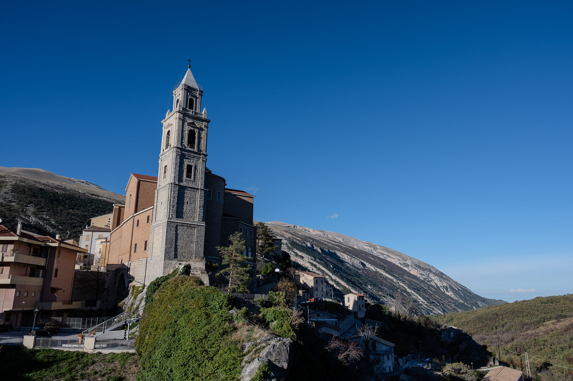
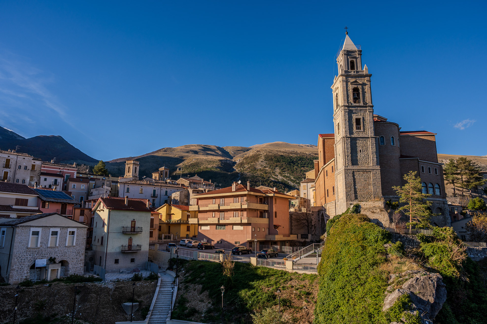
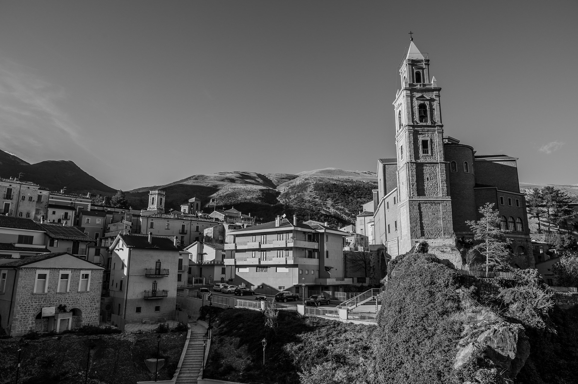
Sulmona. Complex of the Santissima Annunziata.
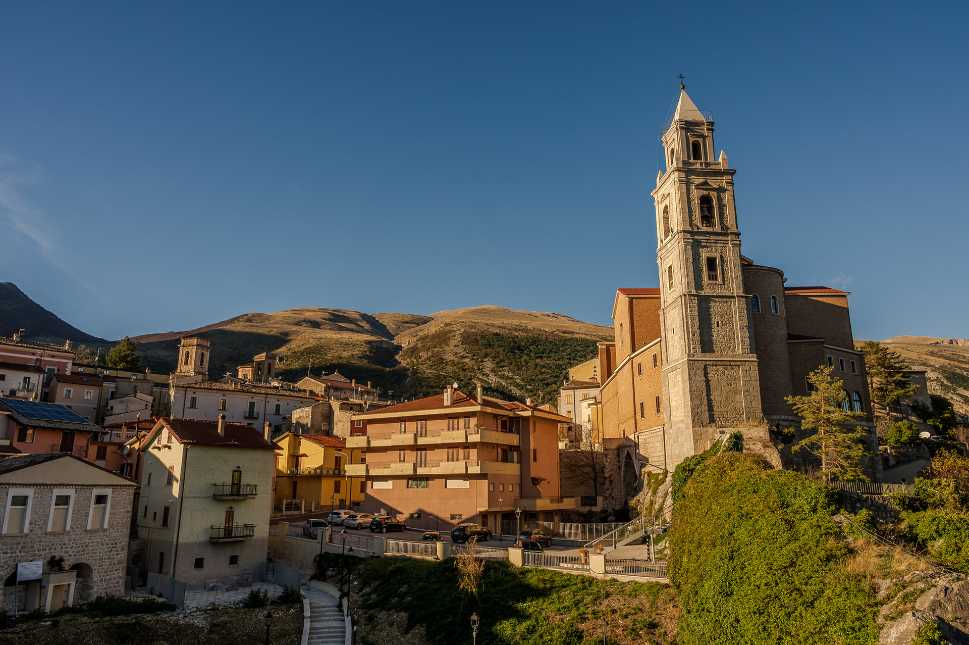
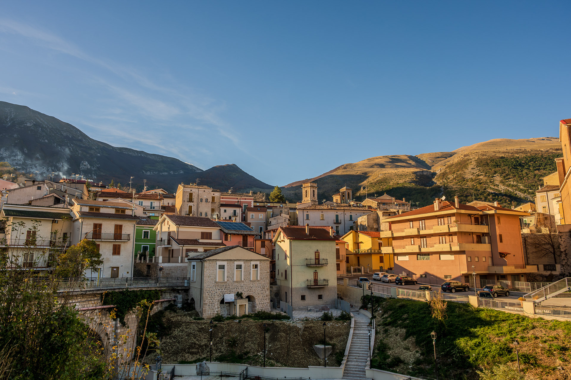
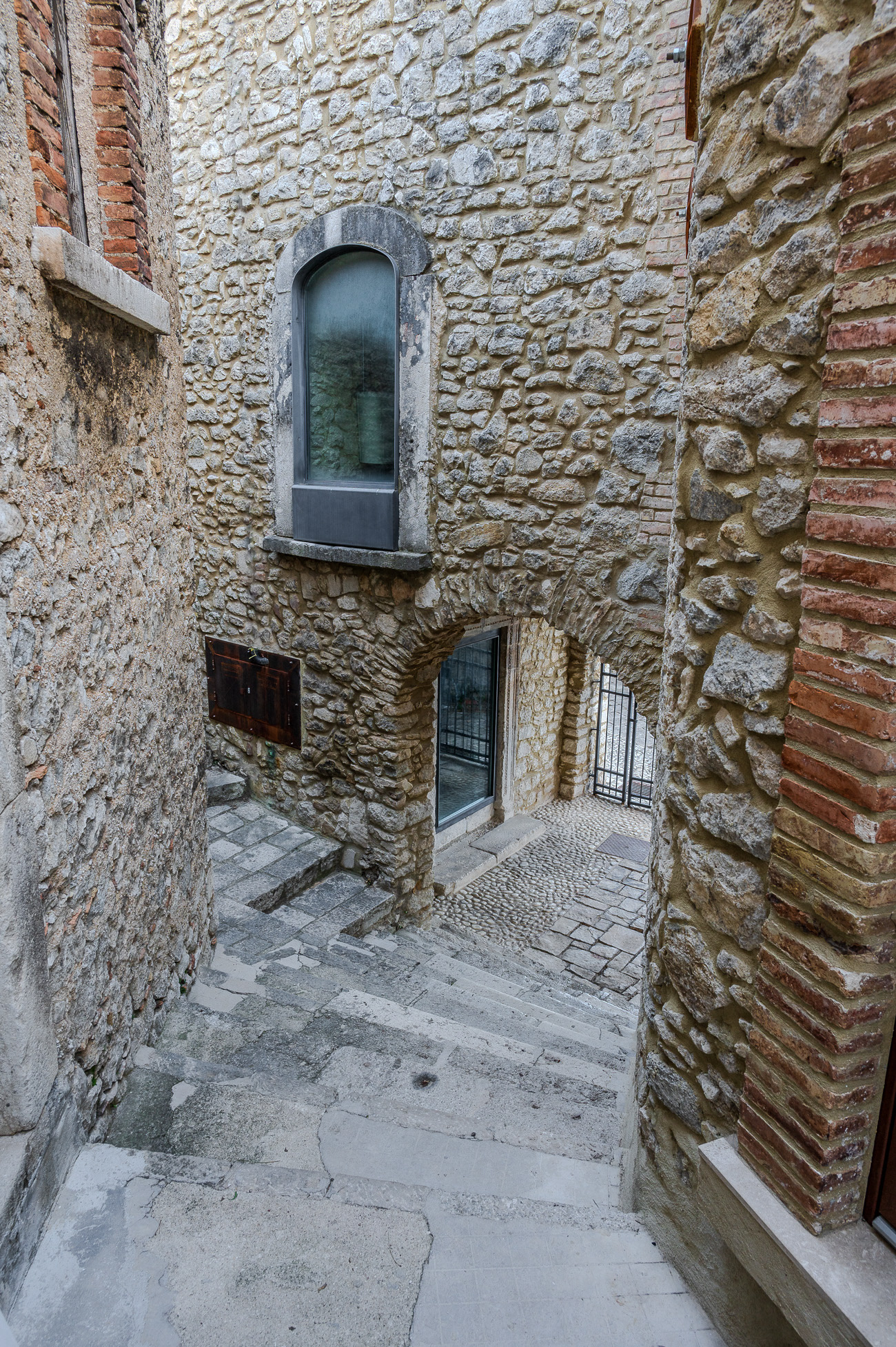
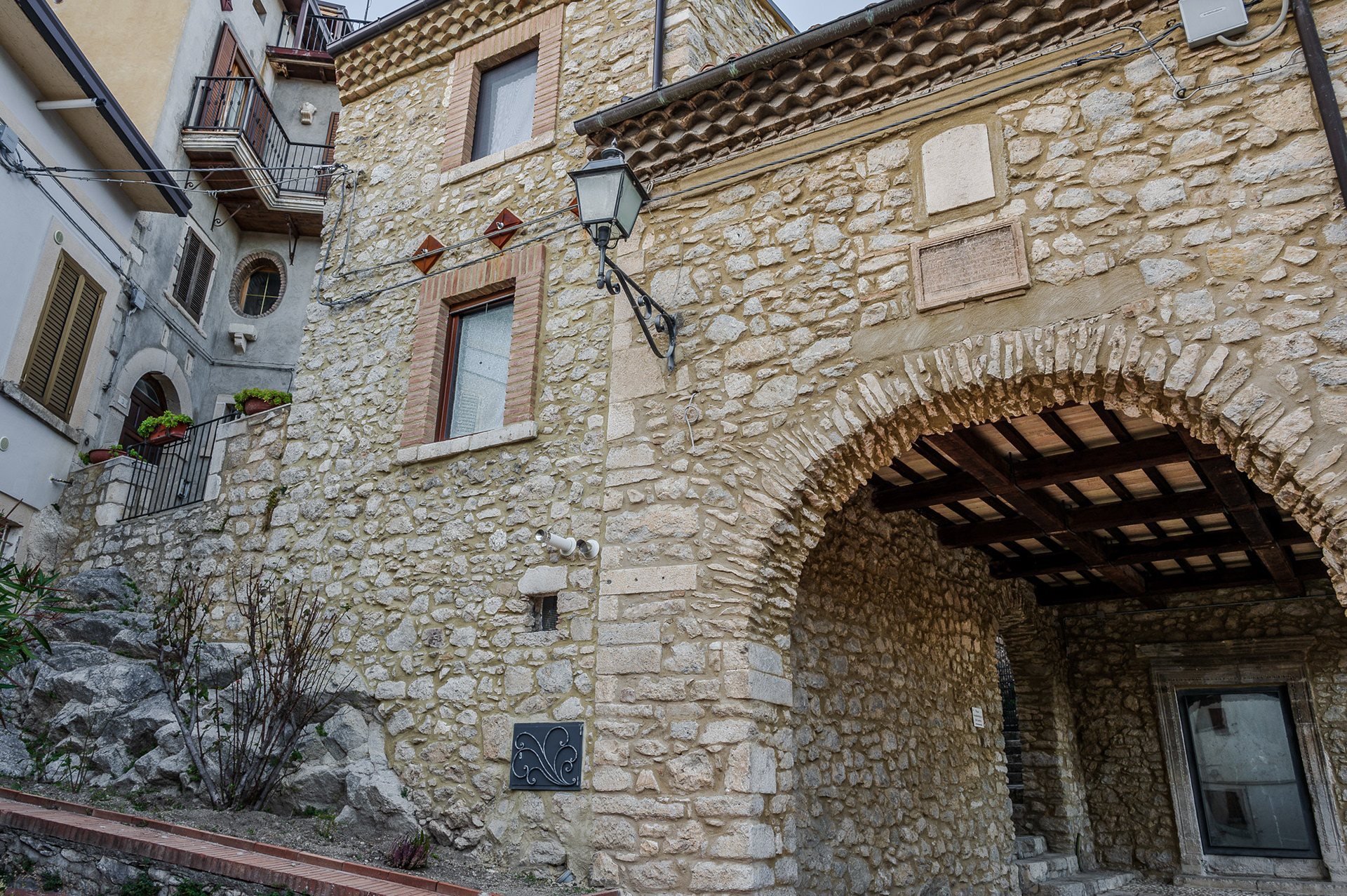
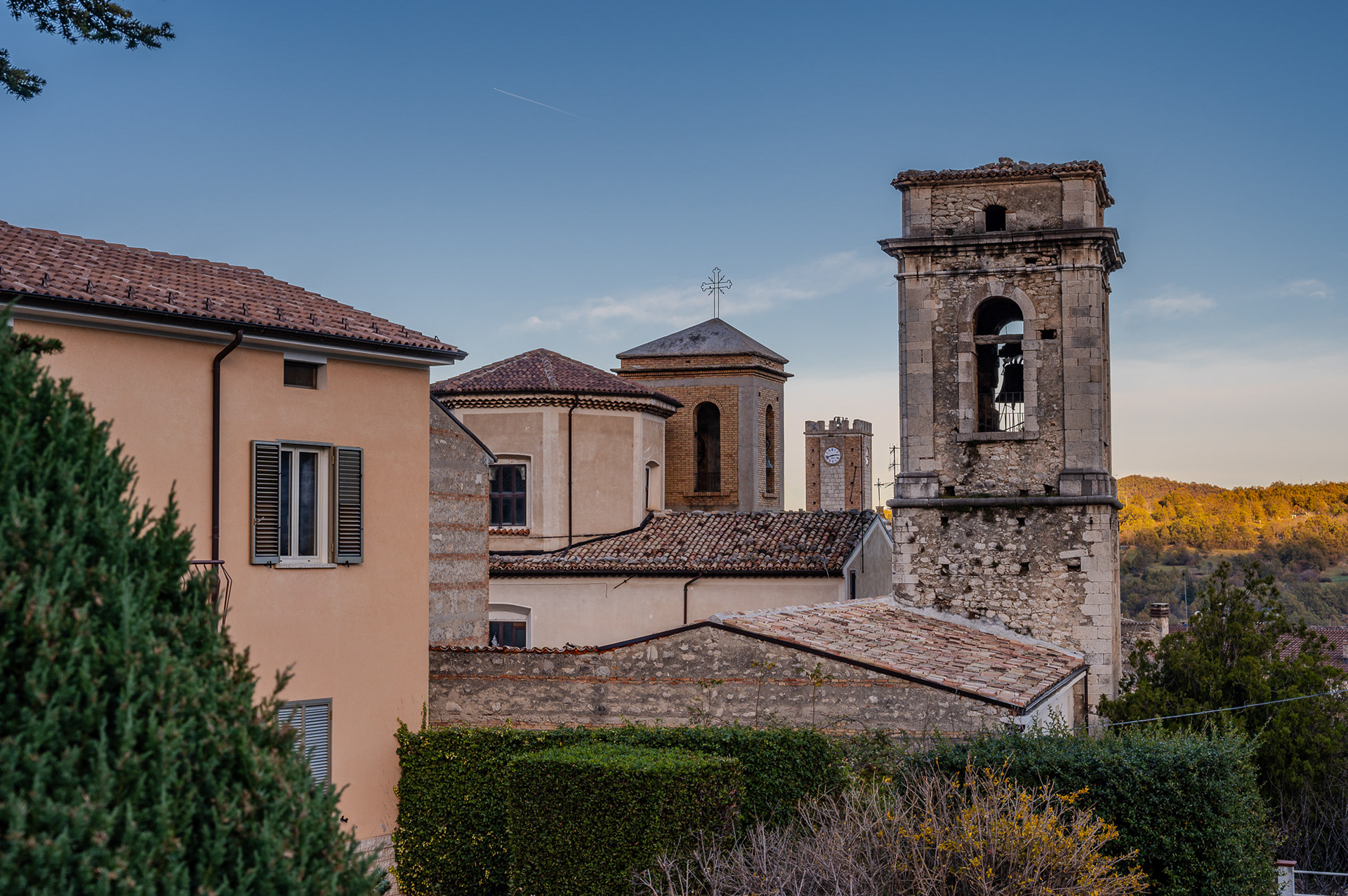
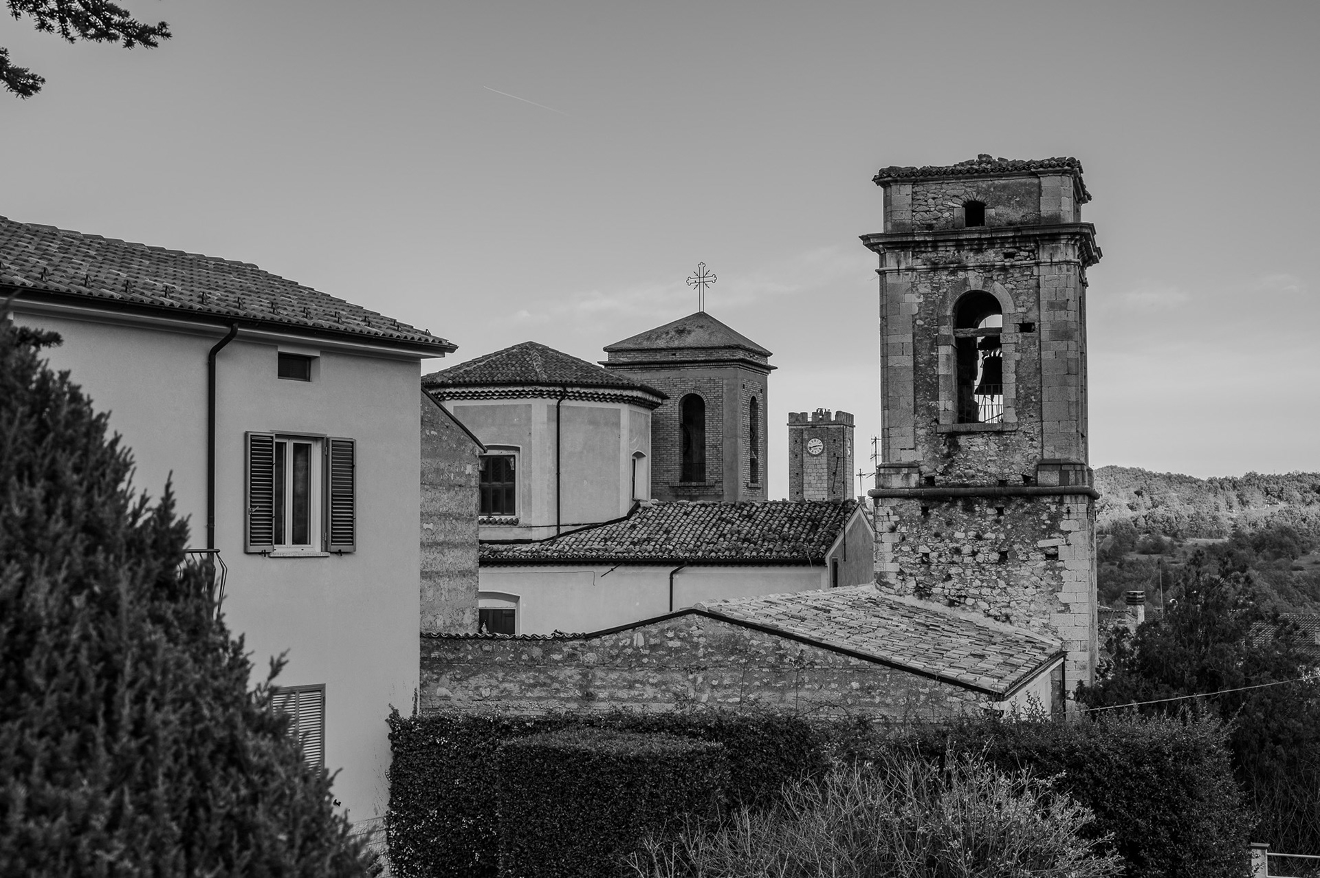
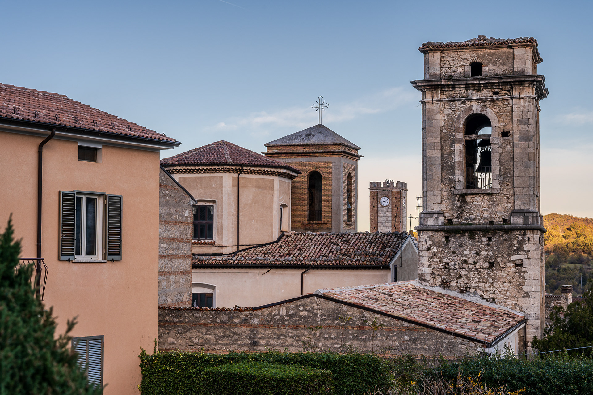
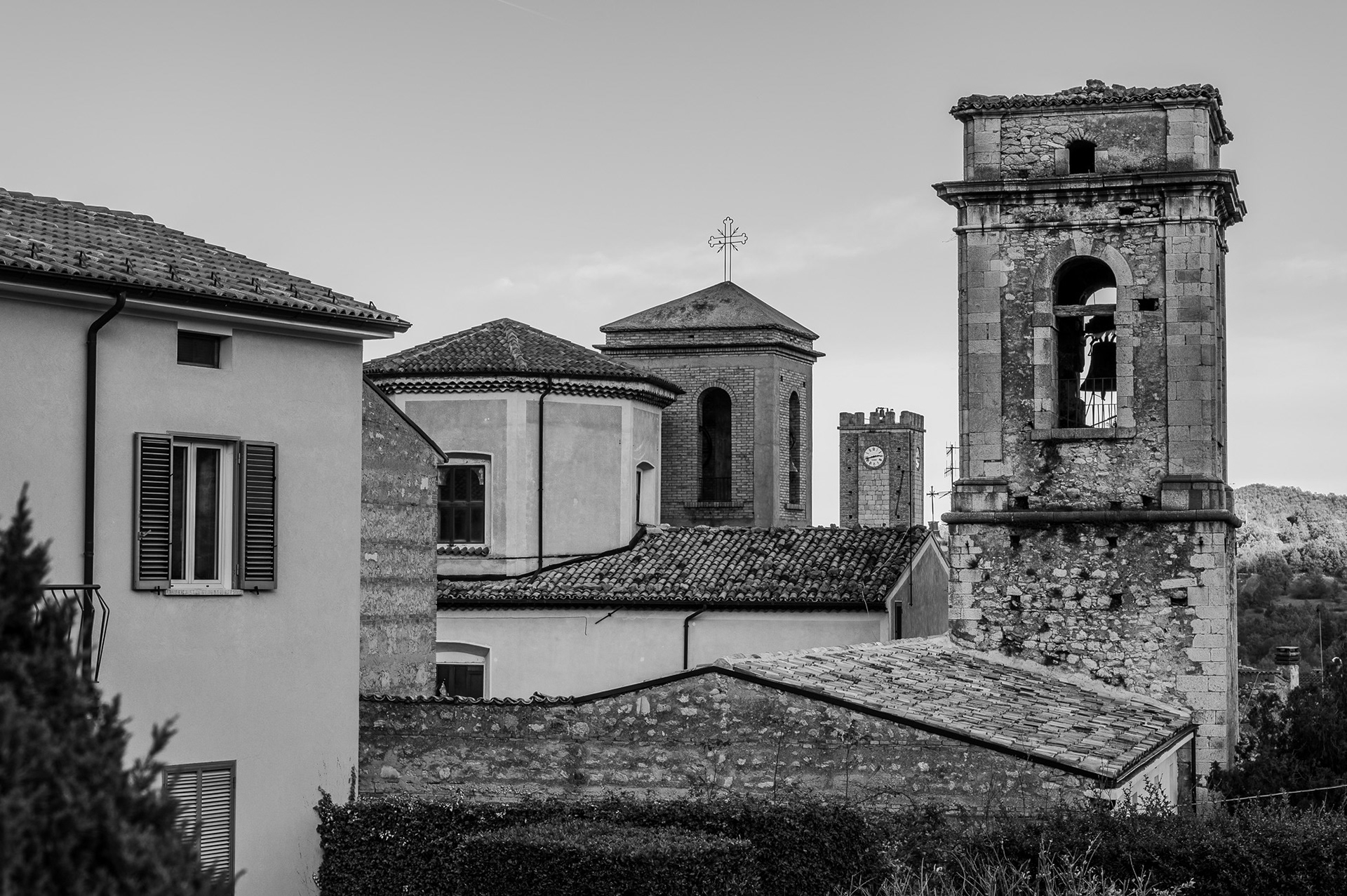
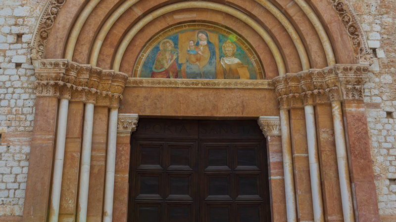
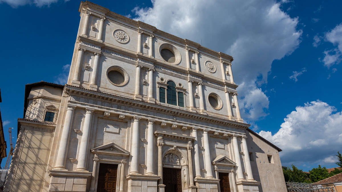
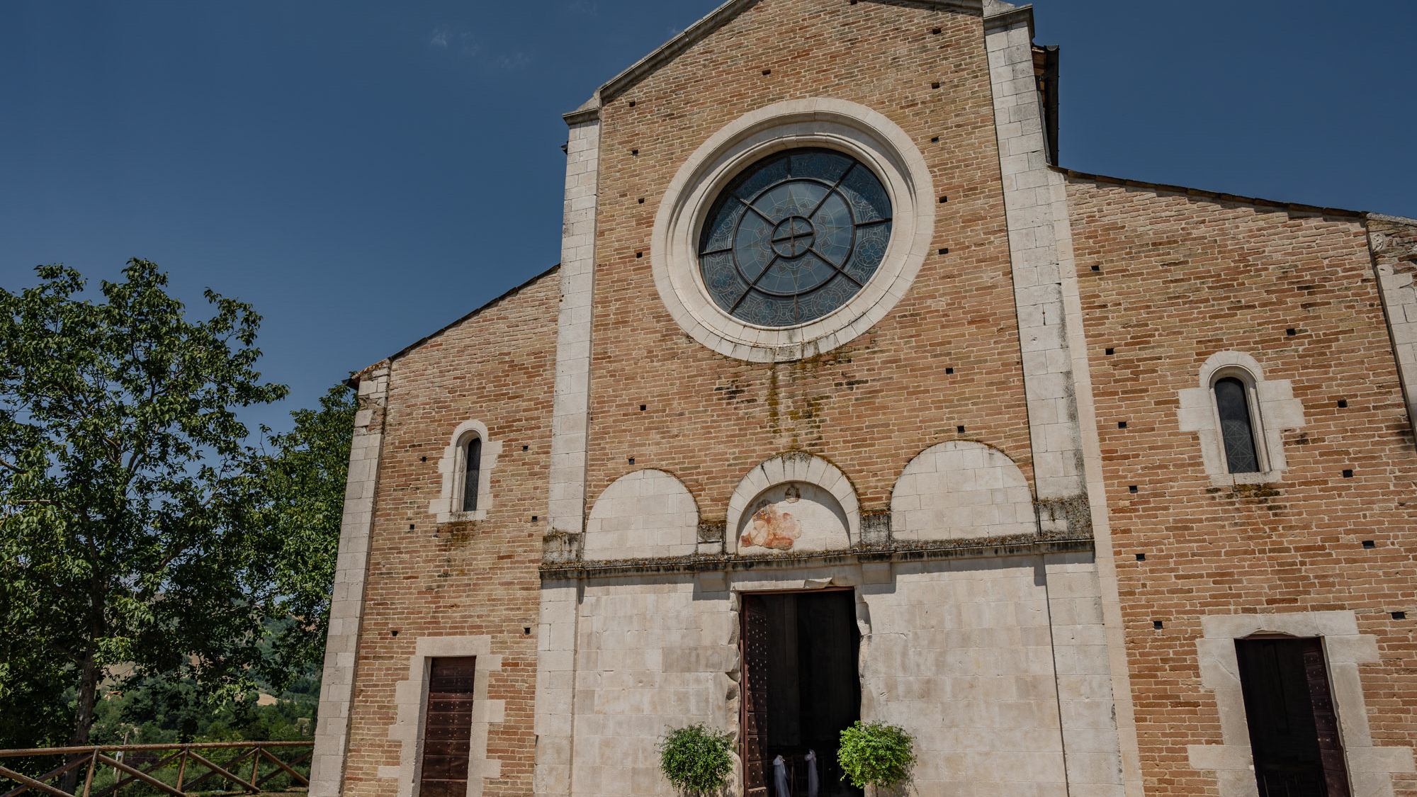
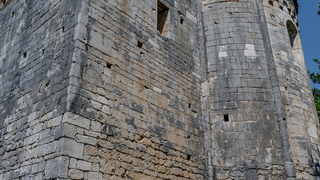
The Santissima Annunziata complex is the most famous and representative monument of the city of Sulmona, declared a national monument in 1902. The main entrance to the complex is on the Annunziata square although other interesting visual glimpses of the building, especially for architectural interest, are admirable from the adjacent streets, via Pantaleo and via Paolina. The church, founded in 1320 by the confraternity of the Compenitenti together with the annexed hospital, does not retain traces of the original construction, both due to the damage suffered in the earthquake of 1456 and due to the architectural transformation interventions which radically modified the original structure of the sixteenth century. Furthermore, another ruinous seismic event, that of 1706, led to a new, important reconstruction intervention which gave the church a Baroque appearance, with an imposing façade with two orders of columns, the work of Maestro Norberto Cicco from Pescocostanzo ( 1710). The interior is divided into three naves and is covered with stuccos. Among the paintings that embellish the church are the frescoes by Giambattista Gamba on the vaults and the canvases on the side altars, among which the Pentecost of 1598 by a Florentine master and the Communion of the Apostles by Alessandro Salini stands out for their quality. The apse instead presents two works by Giuseppe Simonelli, a pupil of Luca Giordano, the Nativity and the Presentation in the temple and an Annunciation by Lazzaro Baldi, a Tuscan artist who was a pupil of Pietro da Cortona. The choir, in wood, was made by the local artist Bartolomeo Balcone between 1577 and 1579, while the part underneath the organs, in a vaguely rococo style, in carved and gilded wood, is by Ferdinando Mosca. The organs, on the other hand, are the one on the left side by Tommaso Cefalo di Vasto (1749) and the one on the right side was built by the Fedeli di Camerino in 1753. At the end of the right aisle is the altar of the Virgin, in polychrome marble, a work partly executed by the Roman artist Giacomo Spagna (1620), with subsequent contributions by artists from Pescocostanzo. On the right side, shortly after the entrance, there is the tomb of Panfilo Serafini, a Sulmona patriot who died in 1864. The sacristy has carved furniture dating back to 1643 with a series of sacred furnishings from the Baroque era and Neapolitan-made silverware; there are numerous pieces from the church that are placed on display in the local Civic Museum. The bell tower (built between 1565 and 1590, imposing, just over 65 meters high, has a square plan with sides of 7.20 m; it is built on two floors with a pyramidal spire and 4 mullioned windows on each floor. It is the bell tower and tallest tower in Abruzzo.The church was reopened for worship in December 2012 after three years of closure due to the 2009 earthquake.