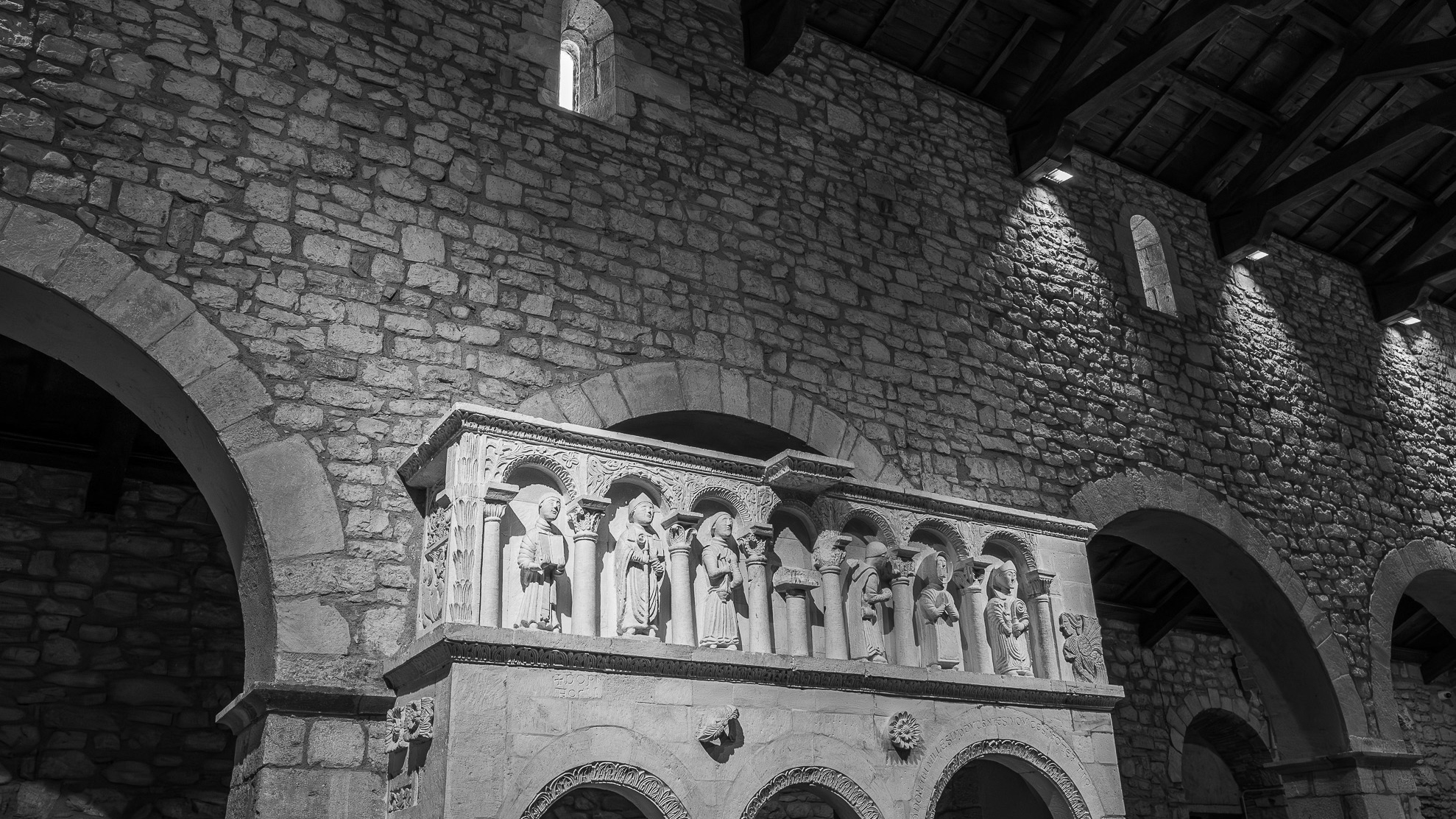
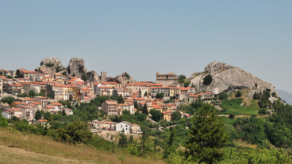
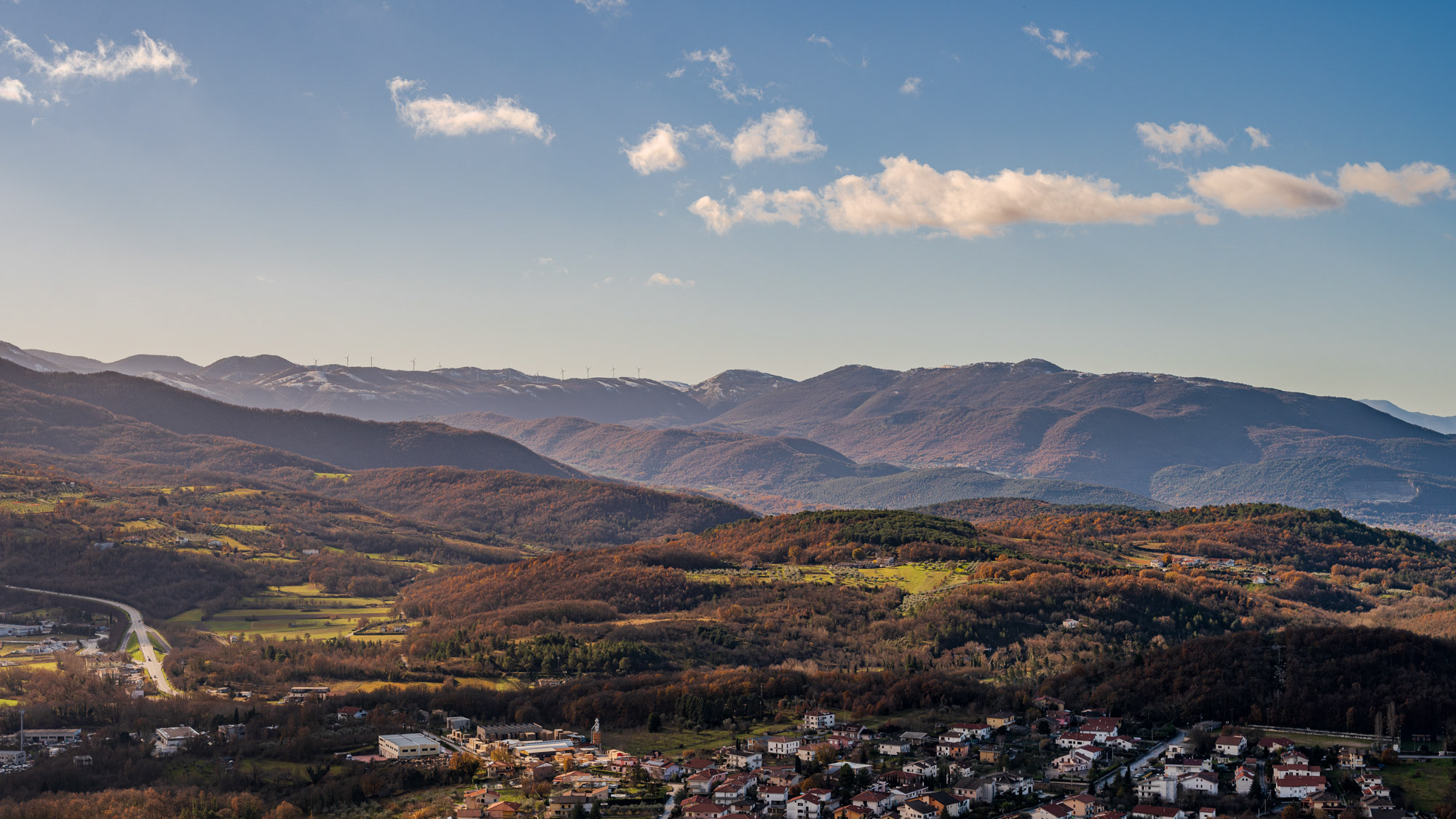
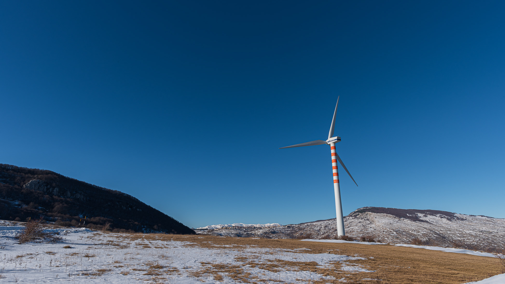
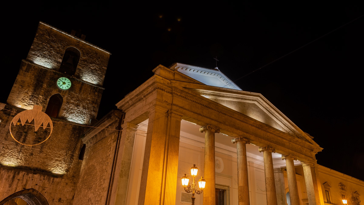
Isernia - La Cattedrale di S. Pietro Apostolo
2018
La cattedrale di San Pietro Apostolo è l'edificio di culto cattolico più importante della città di Isernia, chiesa madre della diocesi di Isernia-Venafro e sede dell'omonima parrocchia. Si trova in piazza Andrea d'Isernia, nel centro storico della città e sorge su un antico tempio pagano italico del III secolo a.C.; il suo aspetto odierno è il risultato di numerosi interventi, effettuati sia dopo i numerosi terremoti, sia in seguito a progetti di rinnovamento dell'edificio.
You may also like
2021
Termoli
Termoli è un comune italiano di 32 953 abitanti della provincia di Campobasso in Molise. Termoli si trova lungo la costa adriatica. Unico porto del Molise, è centro peschereccio, turistico e industriale. Mantieni il borgo medievale chiuso all'interno delle mura che lo separano dalla città moderna.
2022
Cerro al Volturno. Winter 2022
Cerro al Volturno (Cièrrë in Molise) is an Italian town of 1 194 inhabitants in the province of Isernia in Molise, about 20 km from the border with Abruzzo. The municipality is also simply called Cerro because of its territory rich in oak woods, among which the Cerro, Quercus cerris, stands out. The Cerrese territory is on the border with the National Park of Abruzzo, Lazio and Molise. The climate is mainly of the Apennine type: cool and rainy autumn, cold and snowy winter and mild summer. The town was founded by the Samnites (III century BC), of which fortifications remain at Mount Santa Croce. In medieval times the hill of the present village was colonized by peasants (9th century), since the fiefdom depended on the nearby Abbey of San Vincenzo al Volturno. The origin of the community itself is linked to the influence of the abbey of San Vincenzo al Volturno, one of the oldest Benedictine monasteries in the Kingdom of Naples and in the land of San Pietro, together with Montecassino and Farfa. Cerro already existed since 899, as evidenced in the Chrnicon Vulturnense, when Roffredo, abbot of San Vincenzo led the first peasant colony to cultivate the lands in the place of Cerrum, from the name of the oak trees. The 11th century Norman castle was later owned by the Filangieri, Borrello and Cantelmo di Popoli family, until the 15th century, when it passed to the Pandone family, who renovated it extensively. In the following centuries the feud belonged to various families, including the Carafa. In 1811 the village passed to the territory of Benevento, and only in 1861 was it included again in Molise, first linked to the territory of Piedimonte Matese, and then to the area of Castellone Volturno, i.e. Castel San Vincenzo. Since 1970 it has been part of the province of Isernia.
2023
Vastogirardi, novembre 2023
Physical geography
It is located at 1200 m above sea level. in the part of Molise bordering Abruzzo. The territory of Vastogirardi (IS) extends over an area of 60.72 km² and borders the municipalities of Capracotta to the north, San Pietro Avellana, Castel di Sangro (AQ) and Rionero Sannitico to the west, Forlì del Sannio, Roccasicura and Carovilli to the south, Agnone to the east. From a morphological point of view, the territory is separated from that of Capracotta by reliefs of Monte Capraro, which oscillate between 1300 - 1350 m, which descend steeply to Piano S. Angelo and Difesa Grande and Capo di Trigno (ancient lake basin ) at an altitude of 1100 m from which the Trigno river originates, one of the two most important Molise rivers which flows into the Adriatic Sea and gives its name to the road of the same name which reaches up to San Salvo (CH), i.e. the Trignina. To the west are the mountains of Montagnola (1292 m) and Monte Miglio (1350 m), to the south is Monte Pizzi (1373 m), while to the east are the mountains of Montagna Fiorita with Montarone (1278 m). Vastogirardi develops close to a hill at the top of which are the castle and the ecclesiastical complex of San Nicola di Bari. Inside the walls is the village, which appears well preserved in its original defense function, as evidenced by the cylindrical towers incorporated in factories and the supports between building blocks. The result of subsequent expansions, the churches of S. Rocco and S. Maria delle Grazie were built at the beginning of the 18th century and incorporated into the third urban expansion dating back to the 18th - 19th century. Over the course of the last century the town no longer followed the aggregation trend of stepped bands, according to the morphological trend of the site, but developed along via Garibaldi c.da Difensa (towards Castel di Sangro) and via Re d'Italia (direction Isernia).
Origins of the name
It is assumed that the name Vastogirardi originates from the name of a crusader captain, Giusto Girardi. In the past it also took the name of Castrum Girardi due to the castle (other attested toponyms are Castel Girardo, Rocca Girardo, Guasti Belardi, Guardia Giraldo and Guardia Gerardo) and subsequently its current name, deriving from an alliteration of Lombard jargon.
2018
Boiano (CB)
Bojano è un comune italiano di 8 097 abitanti della provincia di Campobasso. Importante città dei Sanniti, fu conquistata dai Romani nel III secolo a.C. a seguito della battaglia di Boviano. Nel VI secolo vi fu fondata la diocesi, collegata a Campobasso; facente parte del Ducato di Benevento, nel XIII secolo divenne la capitale del ducato omonimo, per poi entrare a far parte del Contado di Molise. Divenuta possesso dei vari signori campani Pandone, Carafa, De Capua, Bojano attraversò duri periodi a seguito del terremoto del 1805 prima, e della seconda guerra mondiale poi.
2016
Poggio Sannita (IS)
Poggio Sannita (Caccavone in dialetto poggese) è un comune italiano di 639 abitanti della provincia di Isernia in Molise.
2024
Carpinone. The waterfalls. Spring 2024
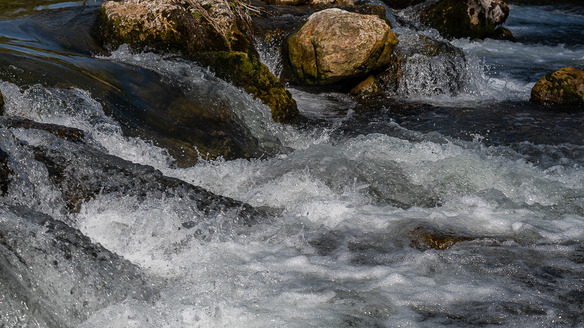
In the heart of a very small village in Molise, immersed in an enchanted forest and floral nature, stands the Carpinone waterfall, one of the most fascinating natural spectacles of the place. The rush of foaming water, which rushes downwards, pervades you as soon as you take the path and when you finally reach it you have a fantastic visual effect of light and roar. The Carpinone waterfall is becoming one of the major natural attractions of Molise, thanks also to a group of volunteers who, for some years, have been taking care of its appearance to make it accessible to everyone and not just to the few enthusiasts or those who despise the danger... She's too beautiful to leave there alone! It was born as a gift from nature and can be reached by following various paths, all immersed in the bright greenery of Molise and all marked with hand-made wooden signs, so as not to affect the suggestive panorama. As you walk, you feel a very pleasant emotion thanks to the direct contact with nature, the breathing of healthy, clean air and the sight of wonderful floral species that make everything fairytale-like.
2022
The waterfalls of Carpinone
In the heart of a very small village in Molise, immersed in an enchanted forest and floral nature, stands the Carpinone waterfall, one of the most fascinating spectacles of the local nature.
2022
Rocchetta a Volturno. Winter 2022
Rocchetta a Volturno is an Italian town of 1 098 inhabitants in the province of Isernia in Molise. The Municipality of Rocchetta al Volturno is made up of two nuclei: the original village, called Rocchetta Alta, or Rocchetta Vecchia, still perched in a defensive position on the mountain, and Rocchetta Nuova, which is located at a lower altitude. The new Rocchetta was born because, at the end of the 19th century, the slope that connected the southern part of the ancient town with the opposite hill was deforested and the land began to show serious subsidence from 1890 due to the progressive sliding of the superimposed layers of clay and sandstone, increased by water infiltrations, both rain and spring. In 1905, following further disastrous events, the population moved for the most part downstream, where there was a hamlet called Case Sparse. The modern town is developed today in the center of a plateau, bordered to the west by the terminal part of the Mainarde chain and to the east by a depression, at the bottom of which the Volturno flows; about two kilometers away are the sources of the river. Its name characterizes the toponyms of other nearby municipalities such as Colli a Volturno and Cerro al Volturno.
2017
Molise - Castel S. Vincenzo (IS) - Il Lago
Il lago di Castel San Vincenzo è un invaso artificiale realizzato sul finire degli anni Cinquanta per scopi idroelettrici. Il lago occupa una superficie di 6,140 km² ed ha una capacità utile di 10 milioni di metri cubi. Le acque che alimentano il lago provengono principalmente dai torrenti della Montagna Spaccata nei vicini comuni di Alfedena e Barrea. Le acque di questi torrenti alimentano le centrali Enel di Pizzone, di Rocchetta a Volturno e di Colli a Volturno. Seppure artificiale, il lago è ben armonizzato con il paesaggio circostante di montagne e boschi. La fauna acquatica è costituita in prevalenza da salmonidi. In prossimità del lago, dove è possibile dedicarsi alla pesca e ad altri sport d'acqua, sono presenti un'area attrezzata per il camping e un maneggio.
2024
Rionero Sannitico. Church of San Bartolomeo Apostolo
Mother church of San Bartolomeo Apostolo. Formerly dedicated to S. Maria Assunta in cielo. Its shape is a Latin cross, with three naves separated by two rows of columns.