2018
Isernia - Chiesa di Santa Chiara
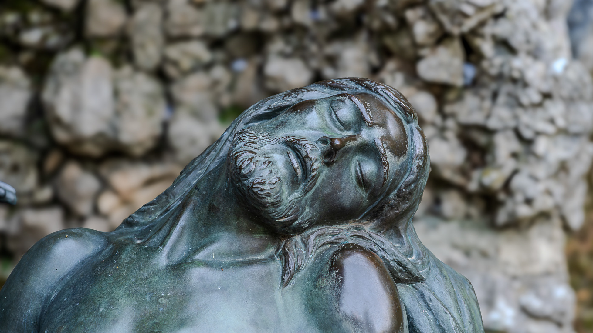
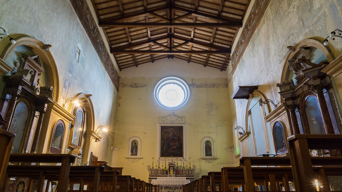
La chiesa di Santa Chiara, insieme al monastero omonimo, è stata fondata nel 1275. Allo stato attuale, però, non esistono più tracce dell'edificio originario. Nel 1809 il monastero fu soppresso, mentre verso la fine del secolo un terremoto danneggiò seriamente la chiesa, che per questo fu chiusa al culto; la riapertura avvenne il 10 ottobre 1910. Durante la Prima guerra mondiale, l'ex edificio monasteriale servì da alloggio a prigionieri austriaci e ungheresi. La chiesa custodisce la statua dell'Addolorata che, durante la processione del Venerdì Santo, viene trasportata dai portantini subito dietro a quella del Cristo morto.