Isernia, aurora
2021
You may also like
2022
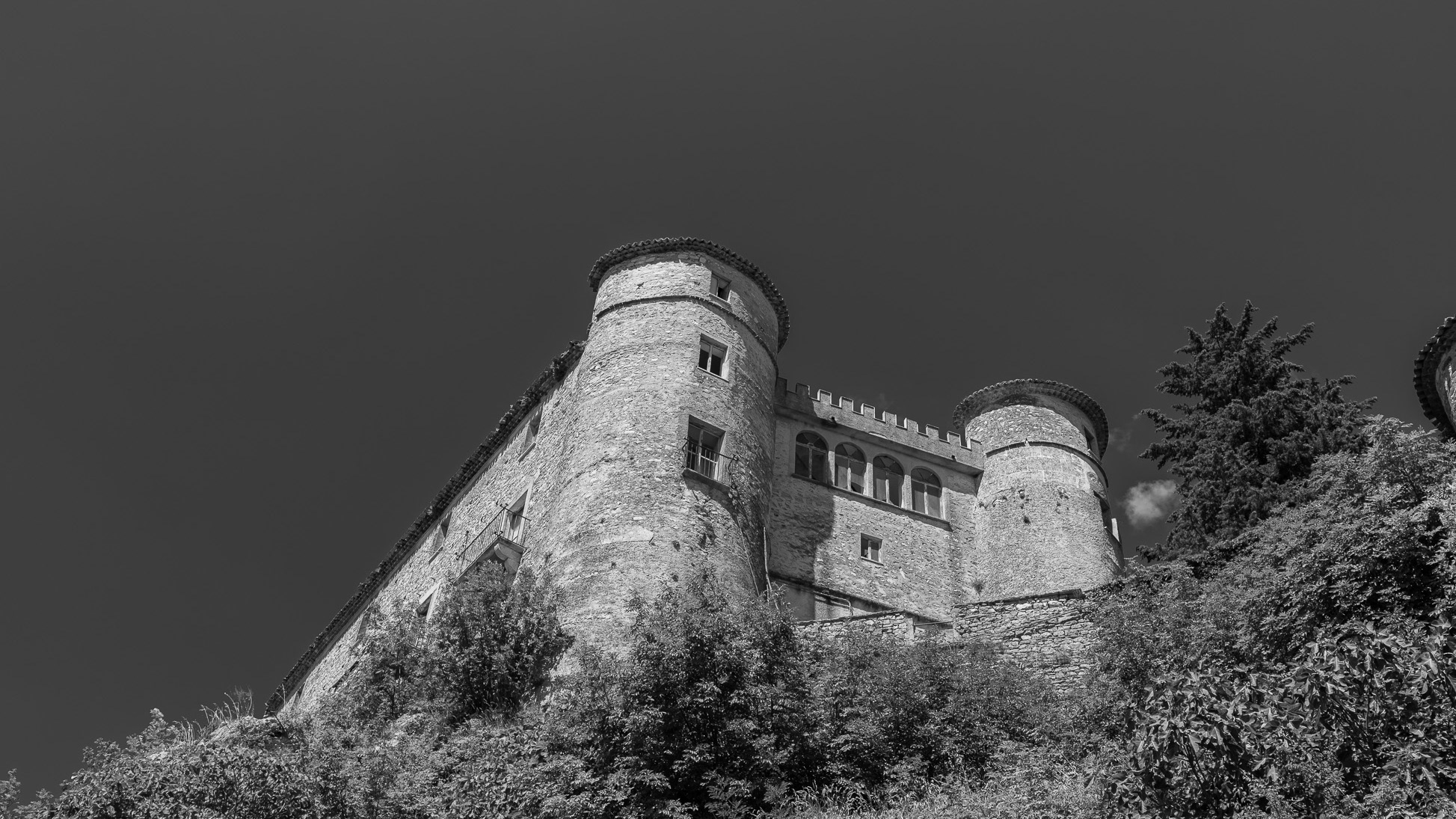
Carpinone. Caldora castle.
The castle was built in the 11th century, in the shape of an irregular pentagon, bordered by 5 towers, above the ravine overlooking the Carpino river. In 1223 it was destroyed by Ruggero da Pescolanciano.
2018
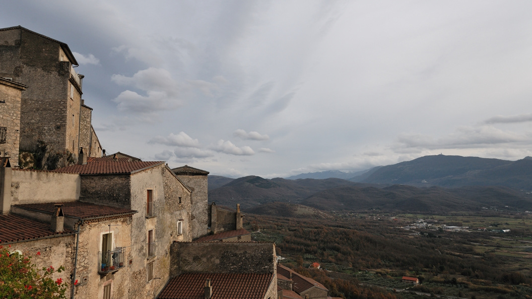
Pesche (IS)
Pesche (Pèschë in molisano) è un comune italiano di 1.682 abitanti della provincia di Isernia nel Molise. In località Fonte Lappone è situato il Dipartimento di Bioscienze e Territorio dell'Università del Molise, sede dei corsi di laurea in Informatica, Ingegneria Edile, Scienze Biologiche e Scienze Turistiche, nonché alcuni corsi di laurea magistrale. Tra le attività più tradizionali vi sono quelle artigianali, che pur non essendo diffuse come nel passato non sono del tutto scomparse, e si distinguono per la lavorazione del legno, ad intaglio, a mosaico, o per la realizzazione di mobili e di altri oggetti.
2022
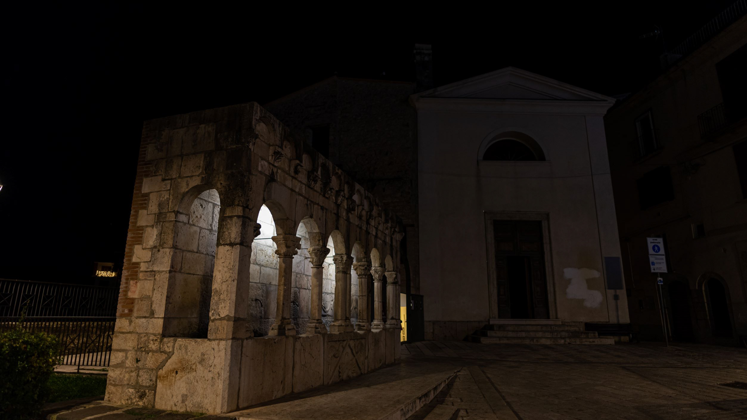
Isernia. The "Fraternal Fountain"
2020
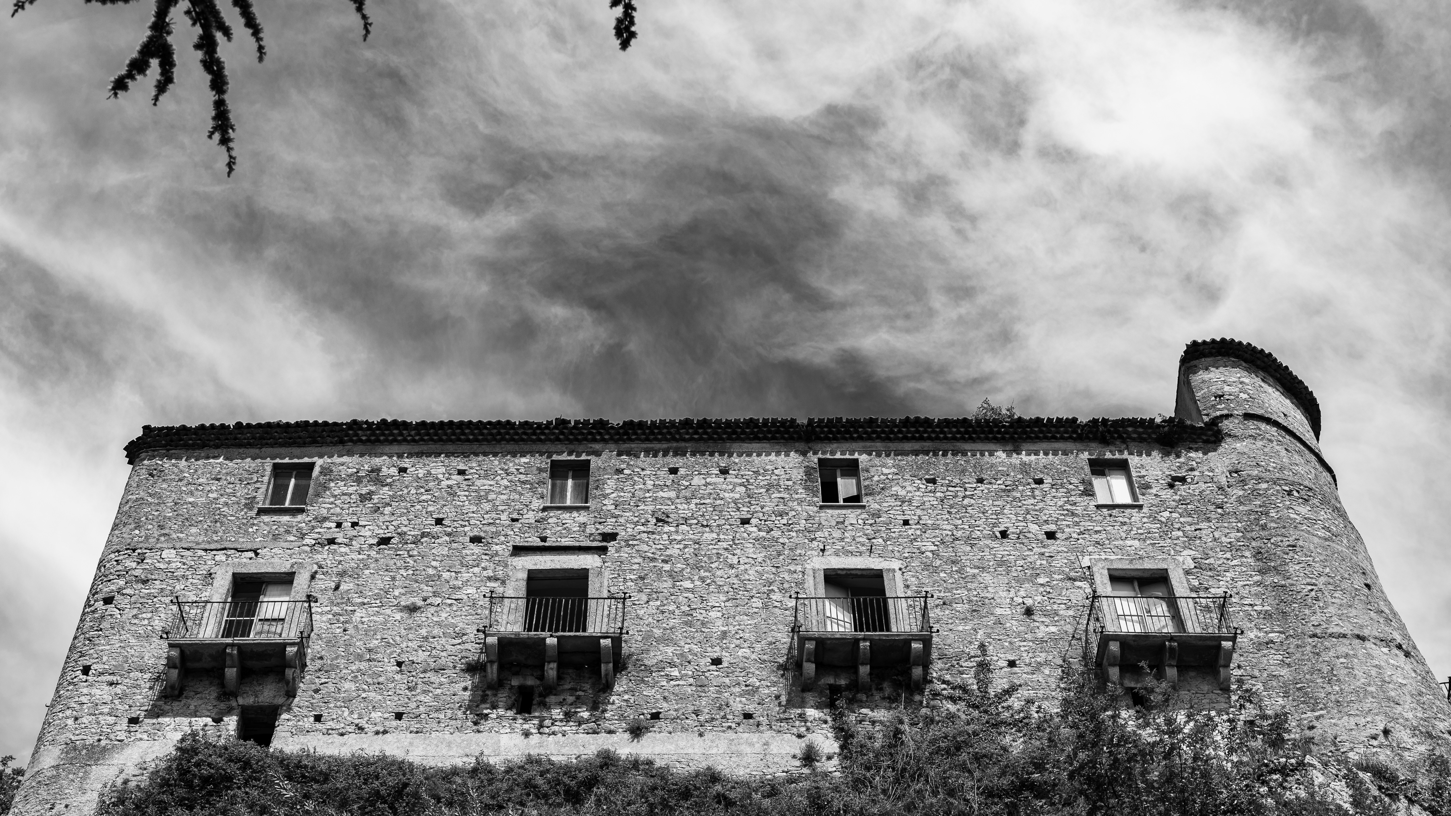
Carpinone. Il Castello
The Castle of Carpinone was probably built in the Norman period and from the time of its construction until the end of the thirteenth century the building was repeatedly enlarged and equipped with greater fortifications to become one of the strongholds of Tommaso da Celano. In 1223, on the basis of an edict issued by Frederick II of Swabia, the castle was destroyed by Ruggiero di Pescolanciano. It was then rebuilt during the 14th century by the d'Evoli family and during the 15th century it returned to its former glory thanks to the commitment of Giacomo Caldora. The last family that bought the fiefdom, that of the de Riso, maintained it until the abolition of feudalism, in 1806. In 1954 the notary Valente, one of the last owners, had the entire main floor and the second floor rebuilt, adapting them to new housing needs. Currently the castle is presented, with its three surviving towers, in a state of evident majesty.
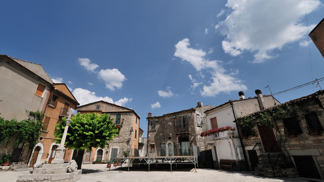
2015
Frosolone (IS)
Frosolone con i suoi 3.250 abitanti circa è situato a m 894 sul livello del mare. Visibili da lontano, mentre continuano a girare, come gigantesche girandole lasciate lì chissà da quali bambini stanchi di giocare, i pali del campo prova eolico annunciano che ci stiamo avvicinando a Frosolone e alla sua montagna. E poi i profumi, il verde, l'aria pura e pungente. L'ambiente montano è un sorprendente "mare di verde", uno scrigno prezioso che raccoglie meraviglie dove alberi secolari, stagni e laghetti, cucuzzoli e paesaggi scoscesi, rocce bianche e rifugi, sanno accogliere sapientemente valori paesaggistici (floristici e faunistici) miracolosamente inviolati fino ai nostri giorni.
Tutti i mesi dell'anno vanno bene e qualsiasi stagione è buona per visitare la montagna di Frosolone, perché ogni periodo dell'anno è buono per fruire e godere delle sue bellezze. Quassù, su questi monti, anche a più di mille metri sono riusciti a vegetare alberi di faggio e la faggeta di Monte Marchetta e di Colle dell'Orso rappresenta uno dei rari esempi in cui questa specie vegetale è riuscita a convivere felicemente con il clima di queste altitudini.
Il più grosso rappresentante vivente è il maestoso faggio del Pedalone, vero e proprio colosso botanico vecchio più di cento anni e alto più di quaranta metri. Proprio in ogni stagione dell'anno, lo spettacolo che offre il Bosco della Grisciata è davvero impareggiabile e ci accompagna fino ai verdi prati e poi alla Valle della Contessa ricoperta di arbusti di uva spina e di siepi di rosa canina.

2017
Mainarde - Monte Meta
Il monte Meta (nota anche come la Meta, 2241 m s.l.m) è una delle maggiori cime dell'appennino abruzzese, situata sul confine tra Lazio, Abruzzo e Molise, all'interno del Parco nazionale d'Abruzzo, Lazio e Molise, tra i comuni di Alfedena (AQ), Picinisco (provincia di Frosinone) e Pizzone (provincia di Isernia). Dà il nome all'omonima catena montuosa dei Monti della Meta, compresi all'interno dei Monti Marsicani, che dal valico di Forca d'Acero procede verso la valle di Comino meridionale e digrada nelle valli del Liri e del Volturnoprendendo il nome di Mainarde nelle cime più basse e più meridionali. Ai suoi piedi si trova il passo dei Monaci (1981 m s.l.m.)). La cima del monte Meta era stata interdetta agli escursionisti perché protetta dalla riserva integrale del parco nazionale d'Abruzzo, per le notevoli presenze di camosci d'Abruzzo, recentemente però (estate 2010) è stato momentaneamente aperto un prolungamento del sentiero L1 che porta fino alla cima a 2241 metri. Diversi sentieri portano alla Meta partendo dal Pianoro Le Forme (Pizzone) a 1380 metri. Le montagne più alte oltre al Monte Meta (Monte Petroso 2247 s.l.m., Monte Cavallo 2039 s.l.m., Monte Mare 2020 s.l.m.) presentano vistose tracce di glacialismo quaternario; nelle valli che si sviluppano all'interno della catena montuosa sorgono copiose le acque del fiume Melfa e Mollarino in provincia di Frosinone, del Rio Torto in provincia dell'Aquila. Dalle cime la vista spazia su tutti i Monti Marsicani, la Majella e i Monti del Matese. I rilievi più bassi dello stesso massiccio, al confine tra Lazio e Molise sono storicamente detti Mainarde; sono le montagne in cui la presenza dell'uomo per il clima meno rigido era stanziale (abitazioni e coltivi in quota) e non stagionale e pastorale come per i Monti della Meta. Non è definito un confine geologico preciso tra le due catene montuose: è certo solo che le Mainarde non rientrano nel territorio regionale dell'Abruzzo, ma molti le ritengono del Molise. L'uso tradizionale dell'oronimo è riproposto nelle carte dell'Istituto Geografico Militare che lo applica ai rilievi più esterni dei Monti della Meta, quelli che dal Monte Cavallo e dal Monte Mare degradano progressivamente verso Vallerotonda (FR) e la valle del fiume Rapido-Gari e verso Scapoli (IS) e Filignano (IS) e la valle del fiume Volturno che ivi nasce. Settore Mainarde è il nome che le amministrazioni del Parco nazionale d'Abruzzo, Lazio e Molise danno alla parte del territorio della riserva in provincia di Isernia, che comprende i territori di Castel San Vincenzo, Pizzone, Rocchetta al Volturno, Scapoli, inclusi nel 1990. L'etimologia è oscura, sembra ricordare un nome proprio germanico.
2022
Isernia. Monument to the fallen of the F. W. War
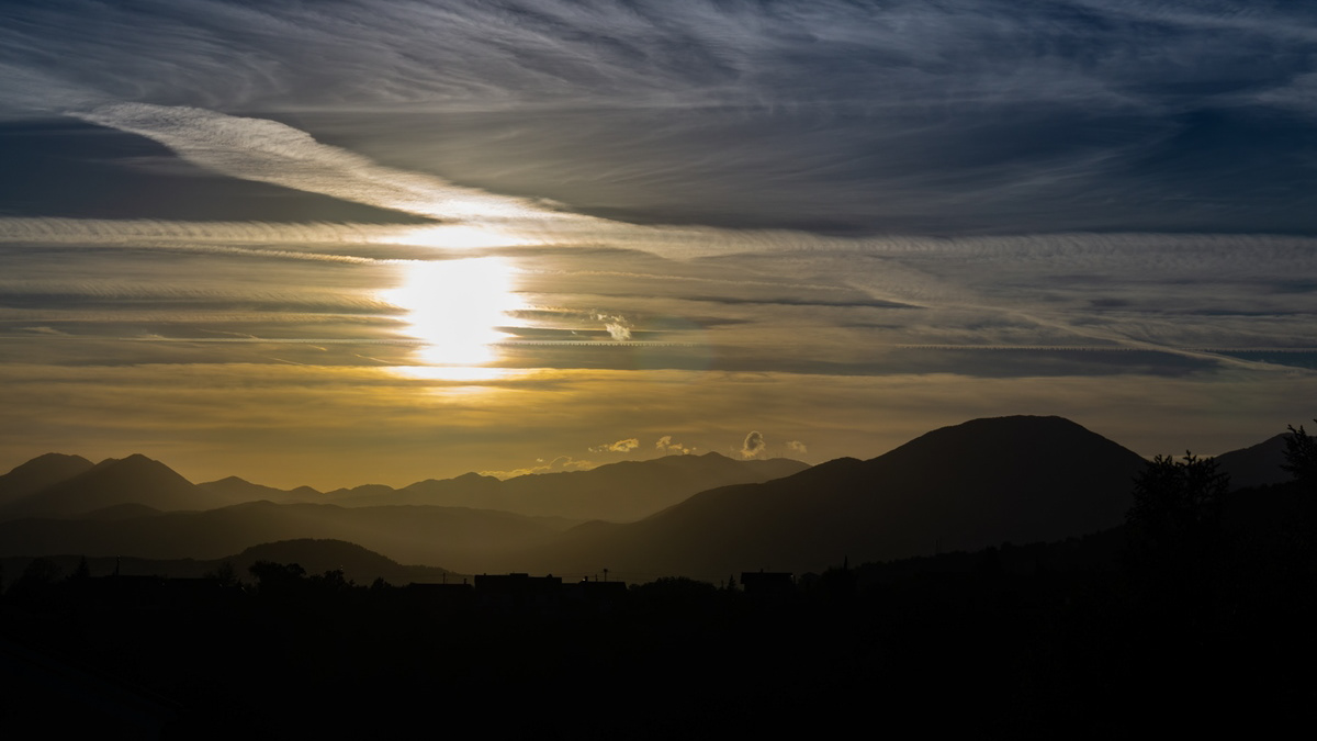
2018
Tramonto sulle Mainarde
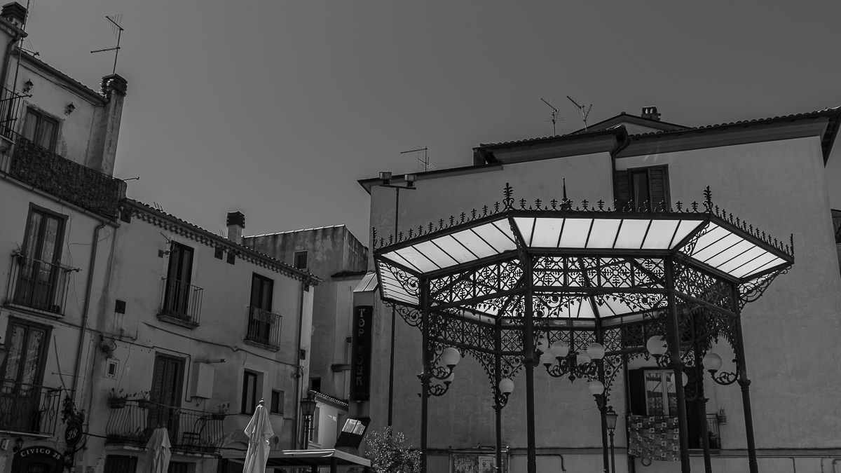
2021
Isernia, scorci
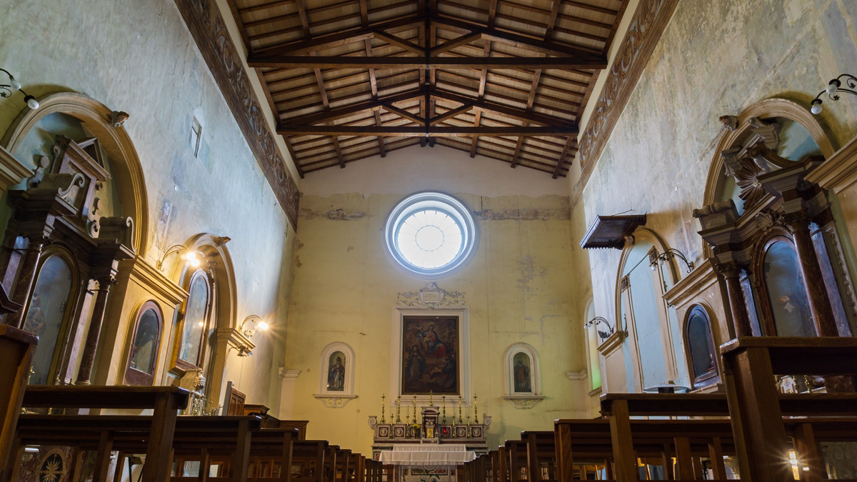
2018
Isernia - Chiesa di Santa Chiara
La chiesa di Santa Chiara, insieme al monastero omonimo, è stata fondata nel 1275. Allo stato attuale, però, non esistono più tracce dell'edificio originario. Nel 1809 il monastero fu soppresso, mentre verso la fine del secolo un terremoto danneggiò seriamente la chiesa, che per questo fu chiusa al culto; la riapertura avvenne il 10 ottobre 1910. Durante la Prima guerra mondiale, l'ex edificio monasteriale servì da alloggio a prigionieri austriaci e ungheresi. La chiesa custodisce la statua dell'Addolorata che, durante la processione del Venerdì Santo, viene trasportata dai portantini subito dietro a quella del Cristo morto.
