Agnone. Winter landscape 2024
2025
You may also like
2022
Archaeological complex of the Cathedral of Isernia.
This complex testifies to what remains of the Italic temple from the second half of the third century. BC, preserved thanks to the fact that what is now the cathedral of Isernia was built on it.
2018
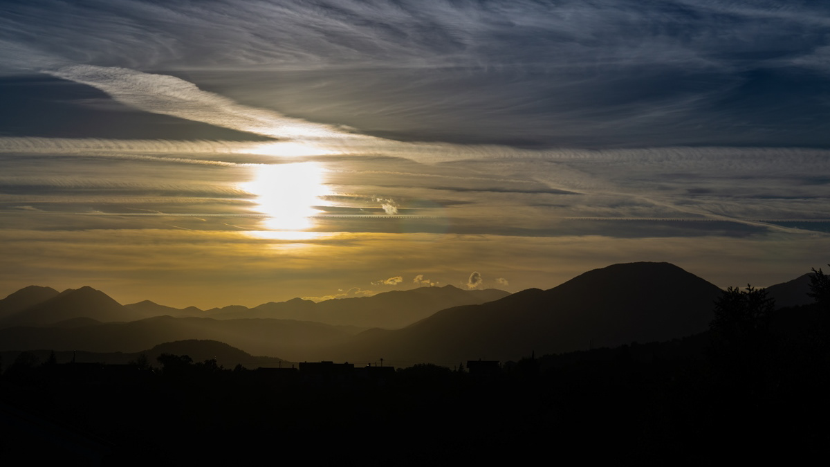
Tramonto sulle Mainarde
2022
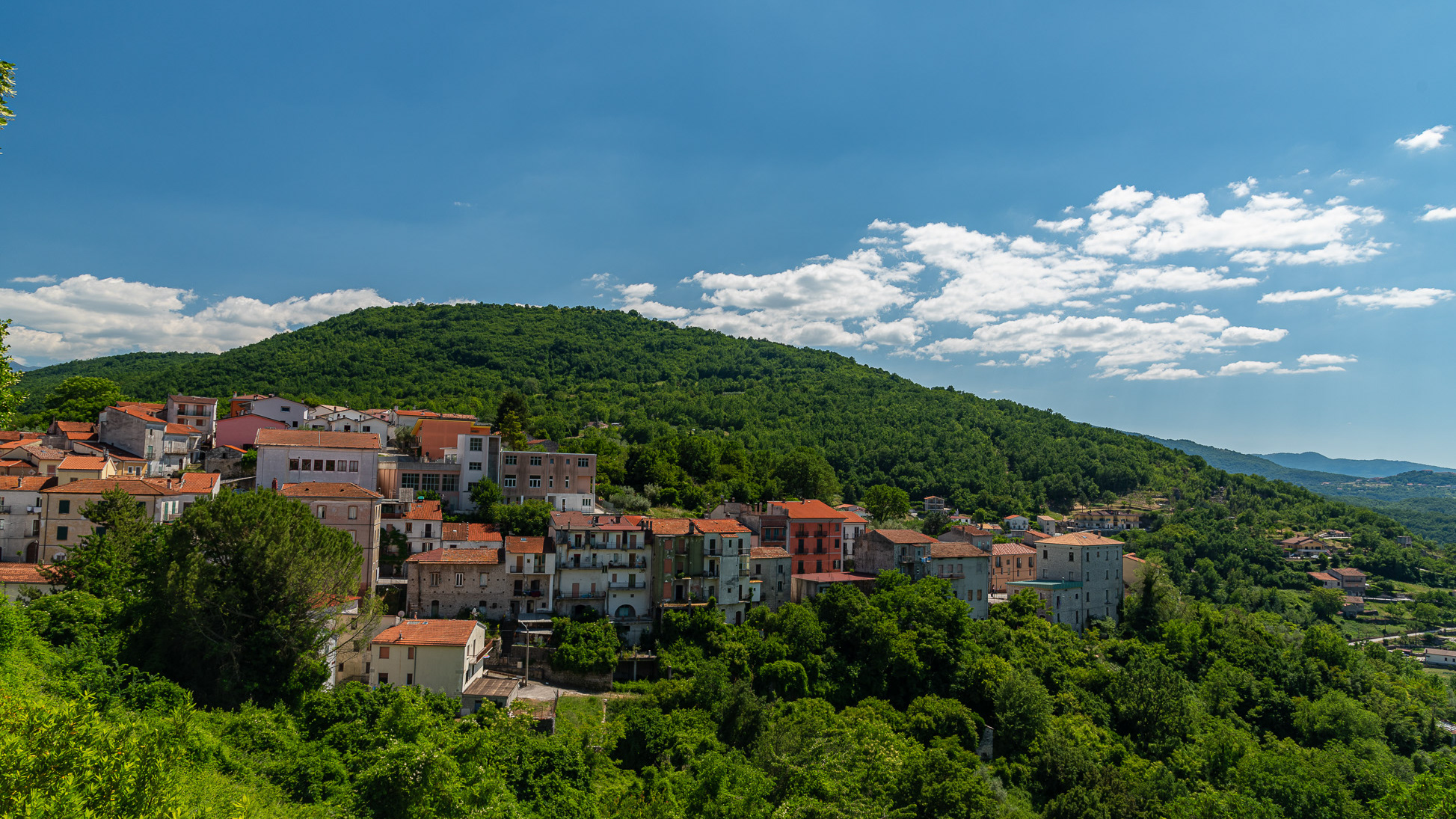
Carpinone.
Carpinone is an Italian town of 1,075 inhabitants in the province of Isernia in Molise. The name derives from the Carpino river that runs along the center, or from the Carpinus plant.
2018
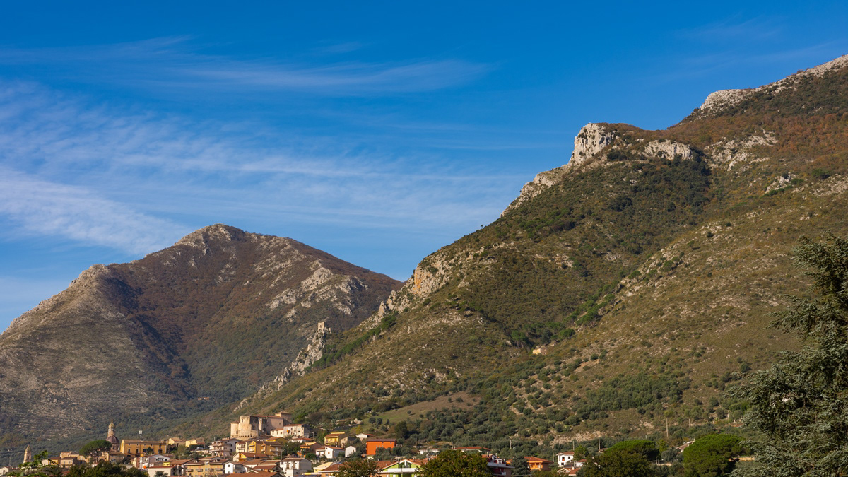
Venafro (IS)
Venafro (Venafrum in latino, Venafrë in dialetto locale) è un comune italiano di 11 226 abitanti della provincia di Isernia, in Molise. È la quarta città della regione per popolazione. Ha origini molto antiche, risalenti al popolo italico dei Sanniti, dove nel III secolo a.C. combatterono aspramente contro Roma durante le guerre sannitiche. Nell'89 a.C. Venafrum fu teatro di uno scontro decisivo contro Roma dove guerreggiò il gruppo dei popoli della "Lega italica", nella cosiddetta "Guerra sociale". Nel Medioevo, fu invasa dai Longobardi, e divenne dal VI secolo sede di una diocesi, nonché importante centro di passaggio da Molise e Abruzzo per Napoli. Dal XV secolo fu di proprietà della famiglia Pandone, che contribuì alla ripresa economica del centro. Nel 1860 ospitò anche Vittorio Emanuele II in viaggio per l'incontro con Giuseppe Garibaldi. Il centro storico si presenta sotto aspetto di borgo fortificato lungo la scarpata della montagna, distante dall'antico centro romano, identificato nella zona dell'anfiteatro. Il punto più alto del borgo è il Castello Pandone, mentre la Cattedrale, seguendo lo schema delle antiche città normanno-longobarde, si trova fuori le mura. L'assetto urbanistico è molto preciso, scandito da cardo e decumano, e risente dell'influsso architettonico del barocco napoletano. Presso il centro si trovano altri due monumenti importanti: il cimitero militarefrancese di guerra, e il convento di San Nicandro, divenuto santuario già ai tempi della visita di Padre Pio nei primi anni del '900, necessitando di cure mediche per le sue malattie.
2021
Isernia, Church of S. Maria Assunta
La Chiesa, in stile moderno, si trova nel centro cittadino della parte nuova ed è facilmente raggiungibile da ogni punto. Essa stessa rappresenta un punto di riferimento urbano per muoversi all'interno della città.
2018
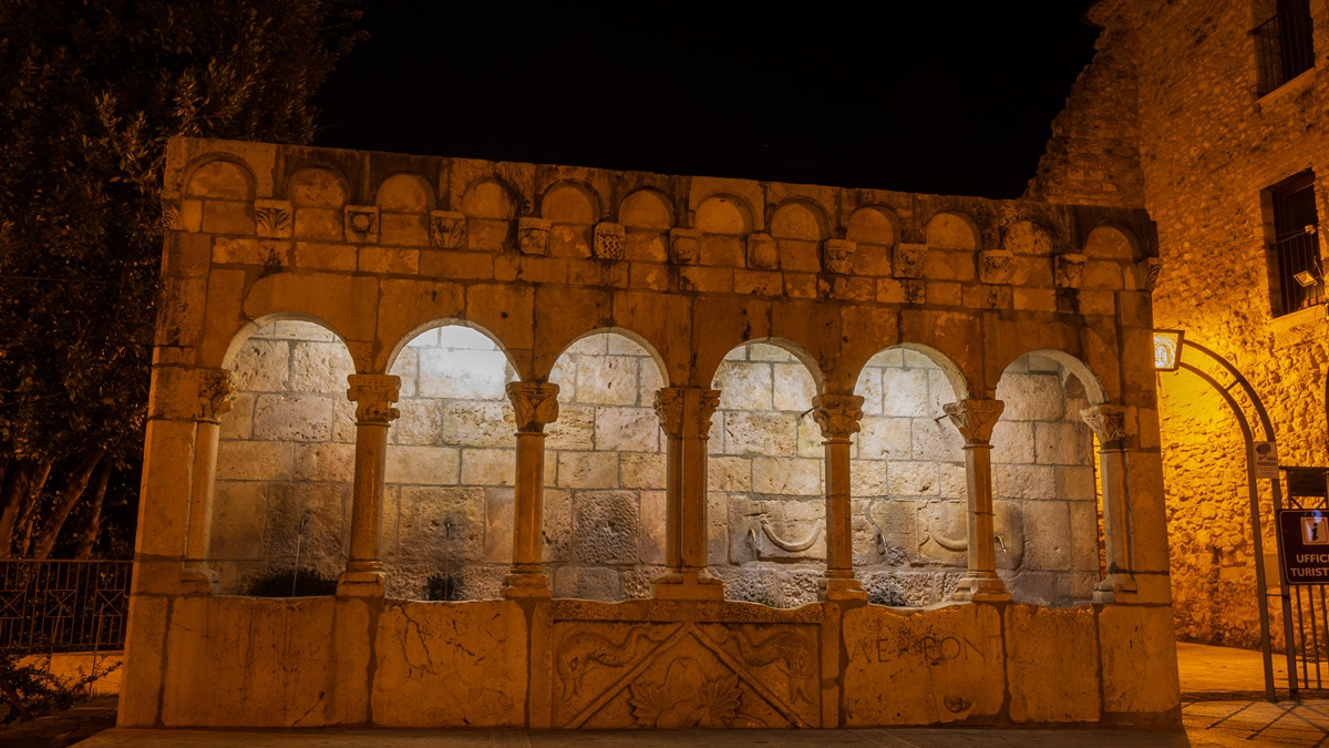
Isernia, Fontana Fraterna, notturne
2022
Isernia. Monument to the fallen of the F. W. War
2023
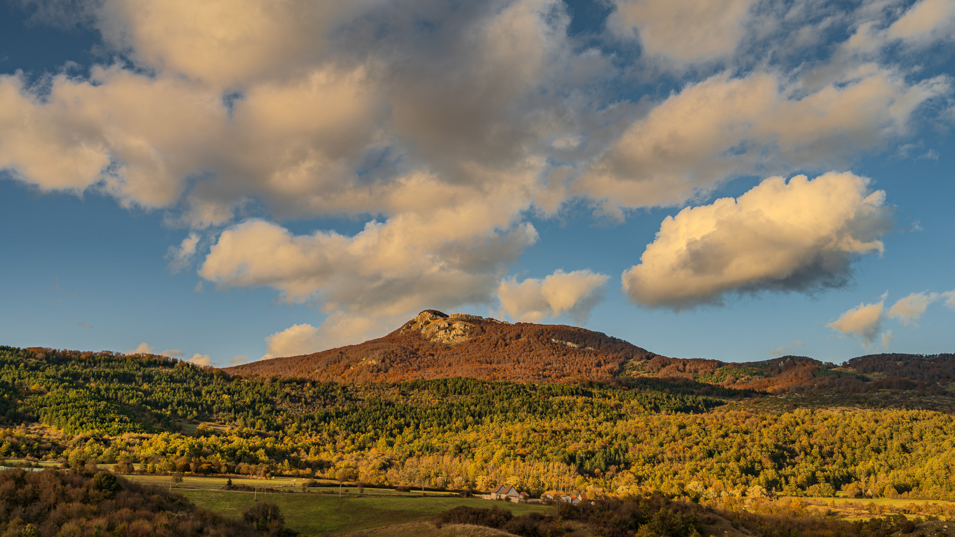
Spectacular autumn landscape
2023
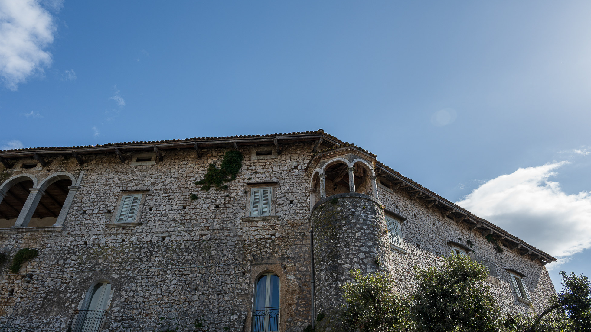
Macchia d'Isernia. Baronial castle D'Alena. View
Baronial castle of Alena: the castle occupies a substantial portion of the ancient circular village. It was built around 1100 by Clementina, daughter of Roger II Norman, king of Sicily, when the feud was part of the county of Ugone del Molise. The garrison passed into the hands of the Anjou, the Afflitto and the Rotondi barons. In 1480 it was restored in Renaissance style as a patrician residence, purchased by Giovanni Donato della Marra, who was count of Macchia. In 1748 the castle was sold to Maria Grazia Rotondi, then given to Nicola d'Alena. Celeste d'Alena was baroness of Macchia, married to the Frisaris, counts of Bisceglie and patricians of Castel San Vincenzo. The façade of the building dominates the square in front of the village, embellished by a Renaissance loggia with round arches. The first part of this loggia dates back to the Aragonese era, with a roof resting on 5 small arches. The rest of the castle is spread over 3 levels, of which the highest is the attic. In the internal courtyard, the beautiful Renaissance staircase with the colonnade stands out, which leads to the main floors. On the ground floor there are cellars, stables and servants' rooms. The upper floor was the residence of the nobles, with various rooms, including the private chapel with various relics. In 1984 the castle was extensively restored, being brought back to its eighteenth-century splendour.
2021
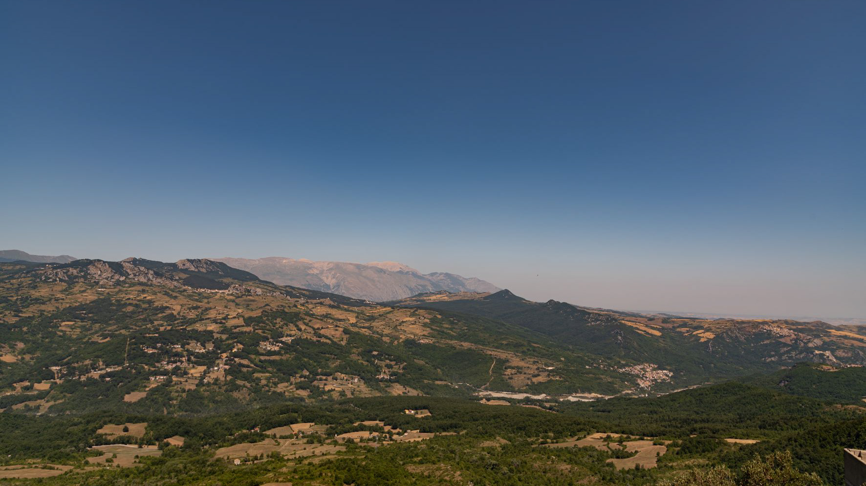
Molise, Italy. Glimpses of summer.
Molise is an Italian mountainous region with a stretch of coast overlooking the Adriatic Sea. It includes a part of the Abruzzo National Park in the Apennine mountain range, with a rich wildlife.
