2023
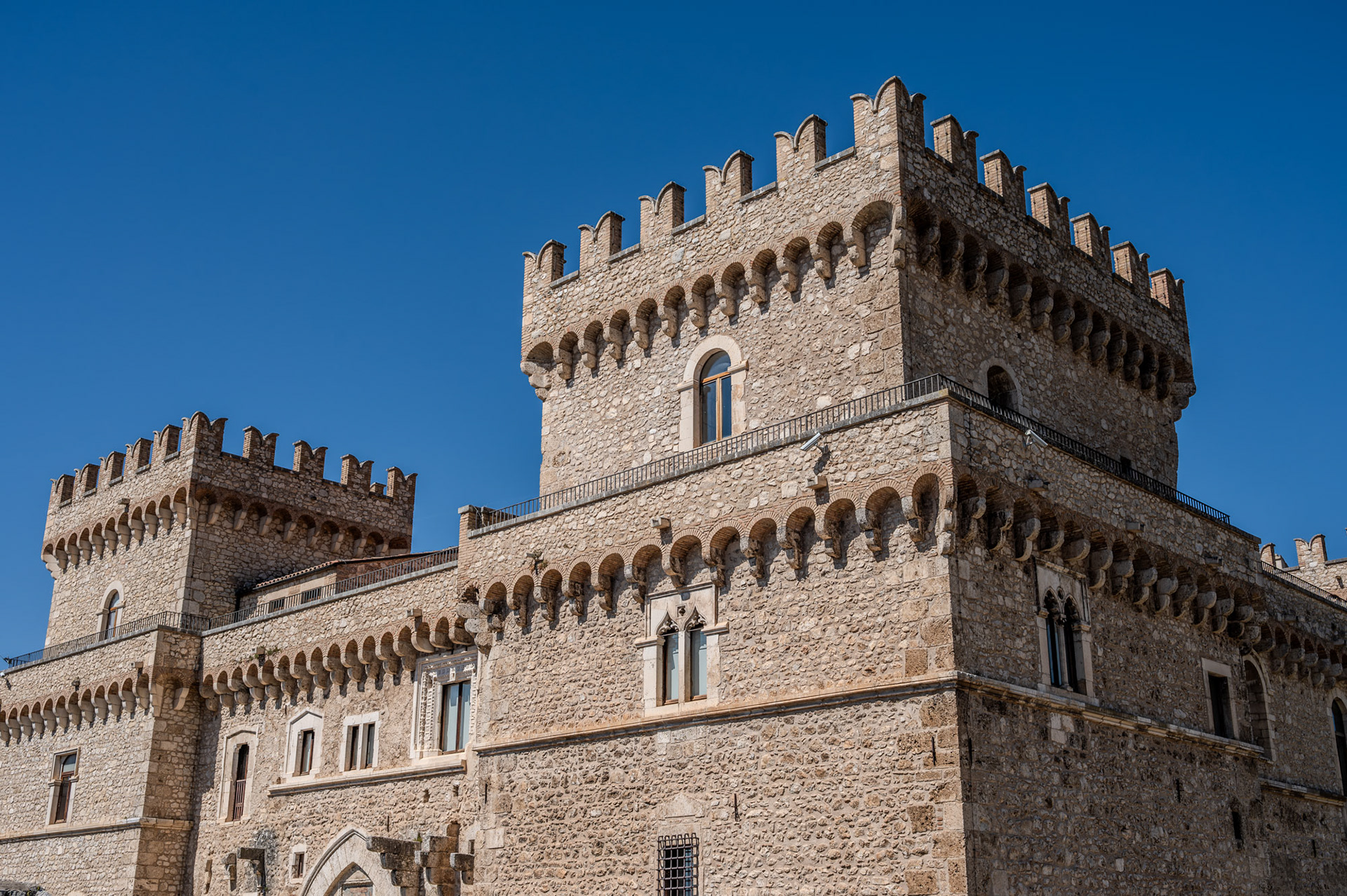
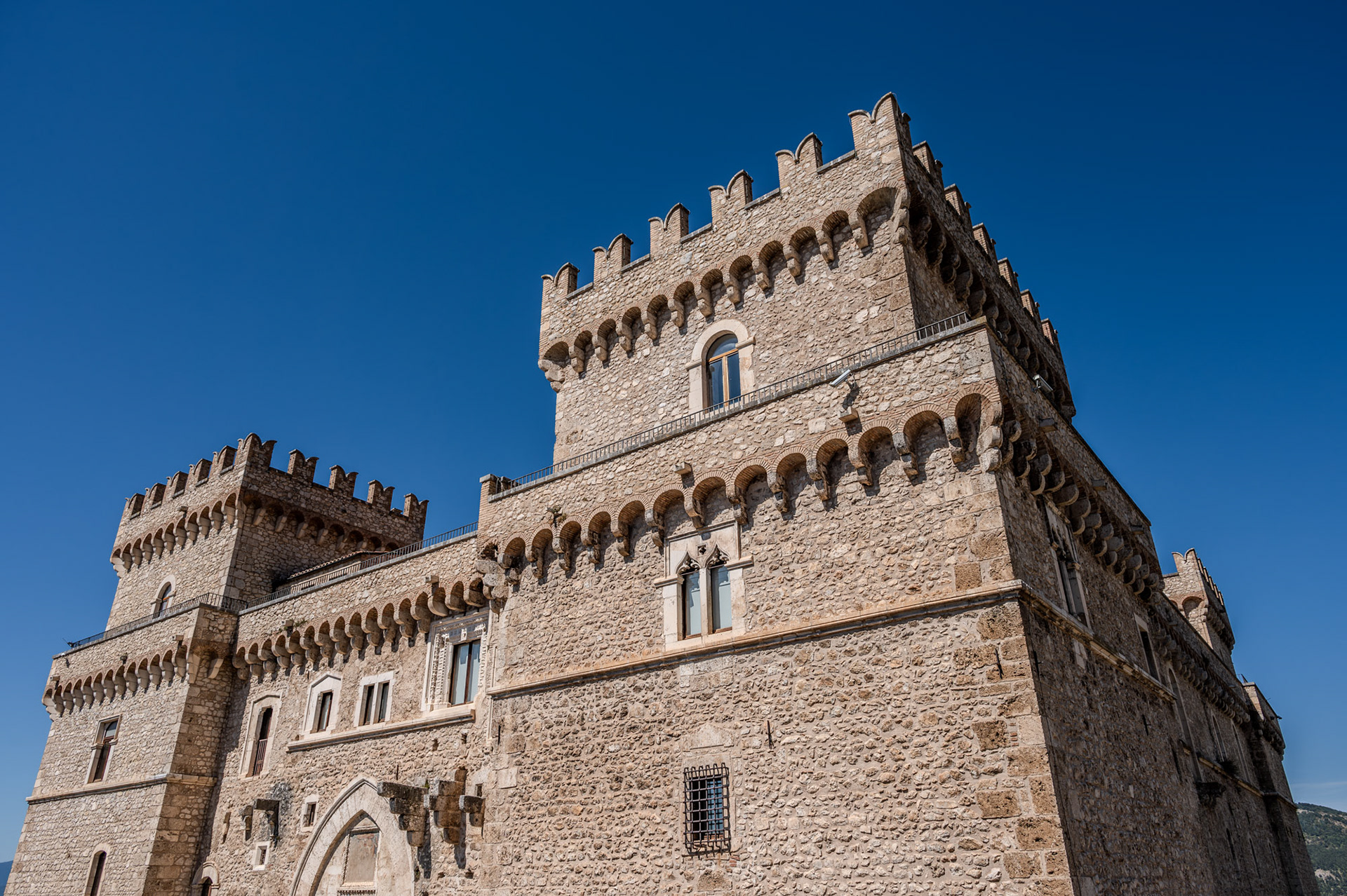
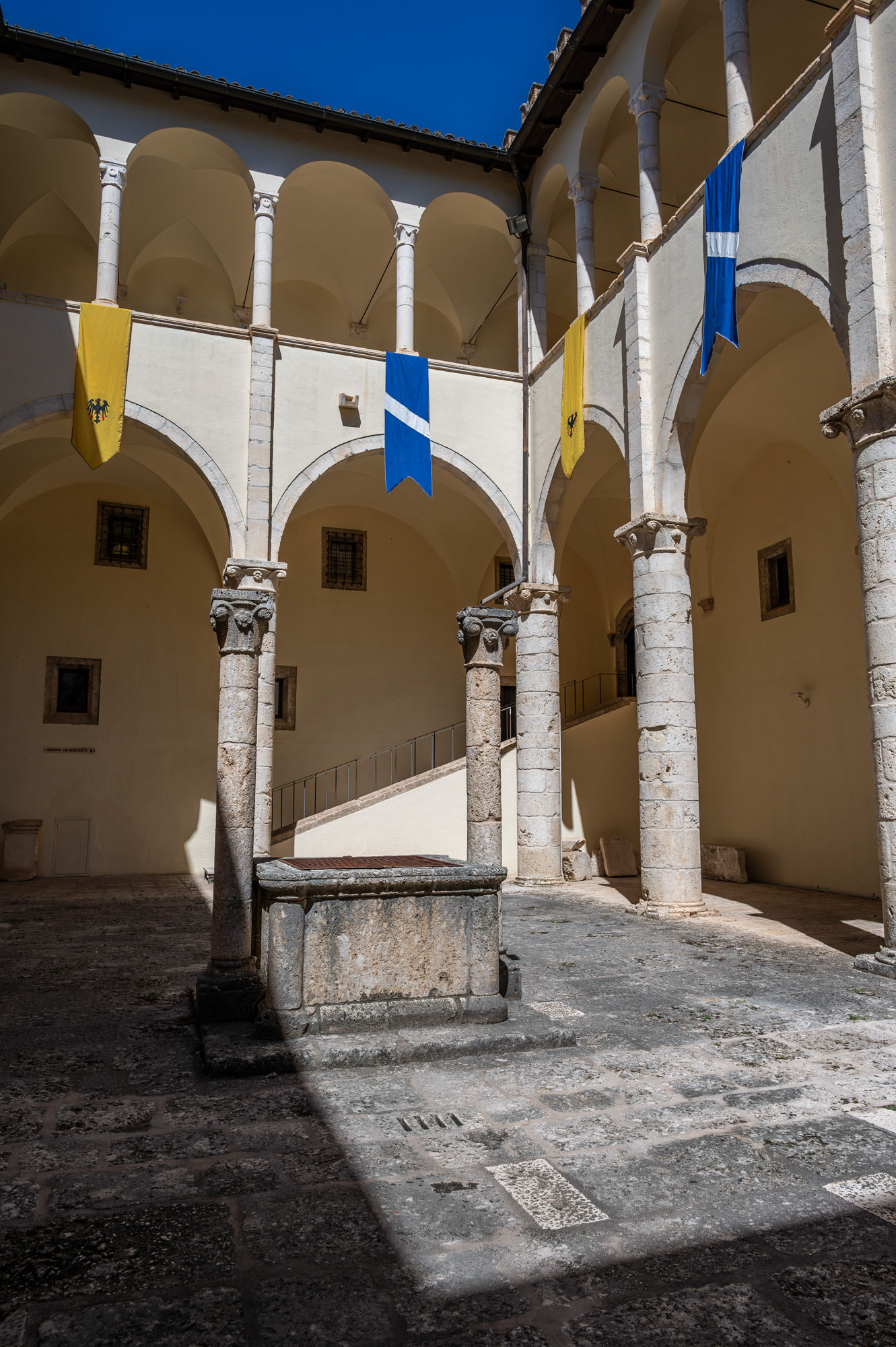
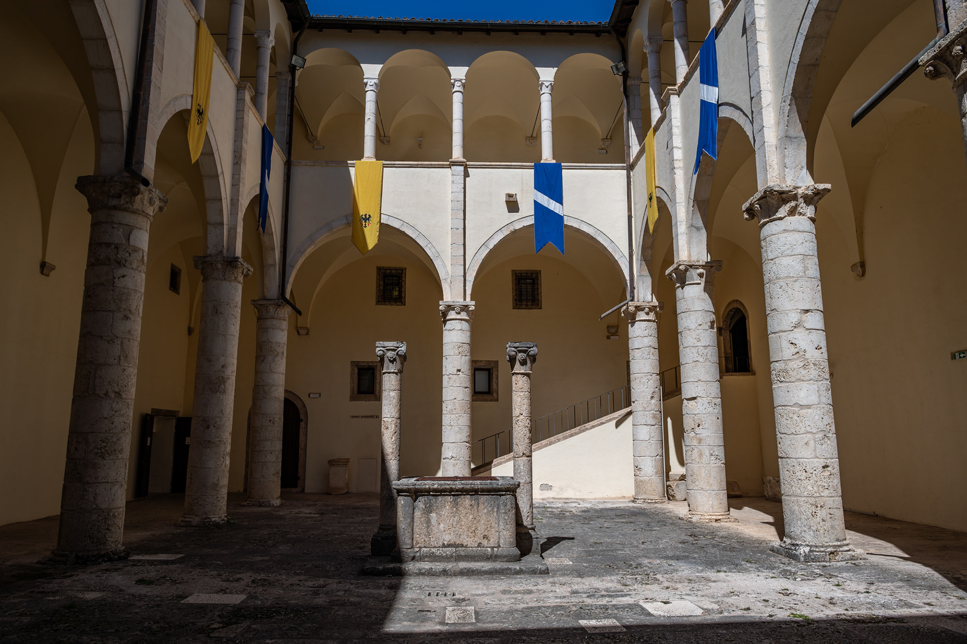
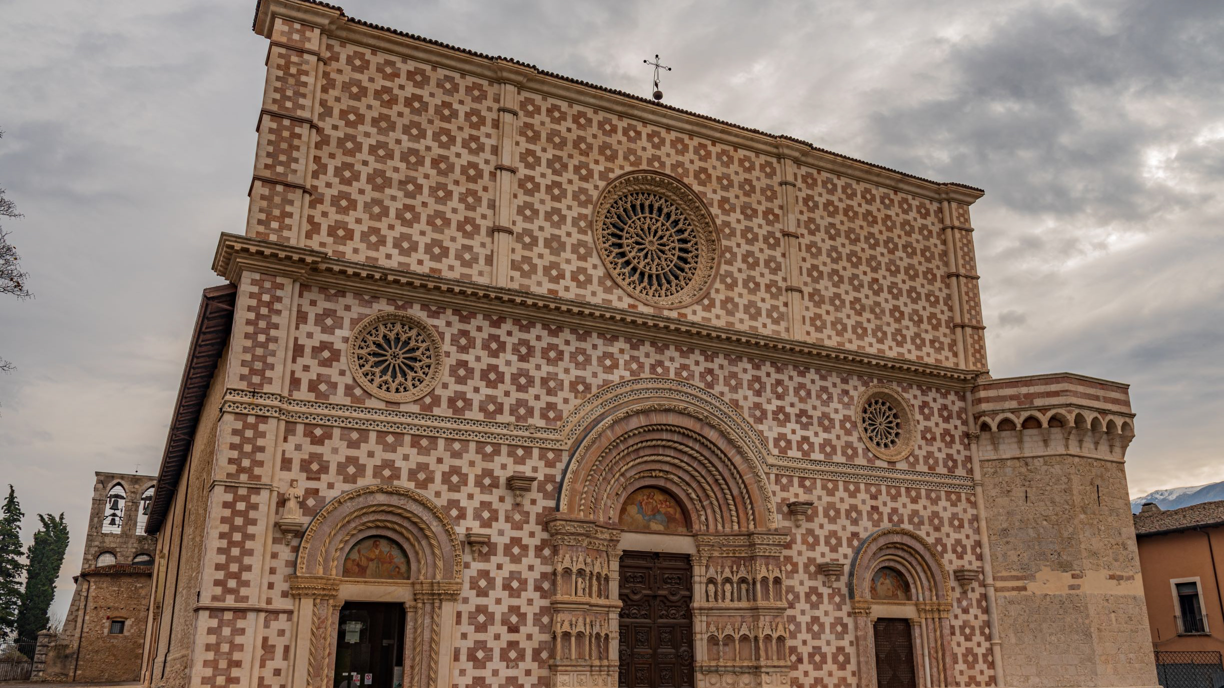
Lama dei Peligni. Church of S. Nicholas and Clemente
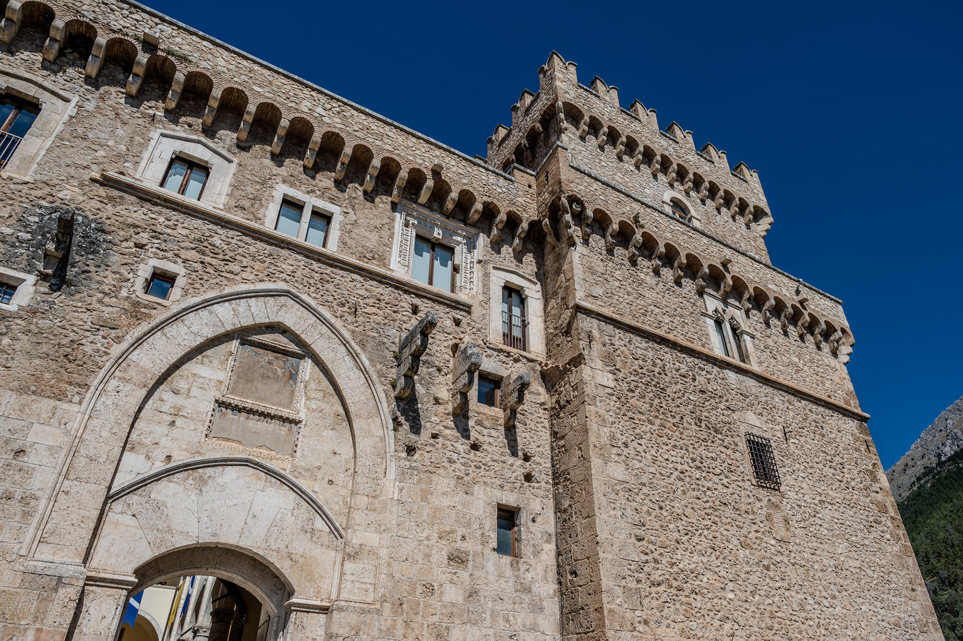
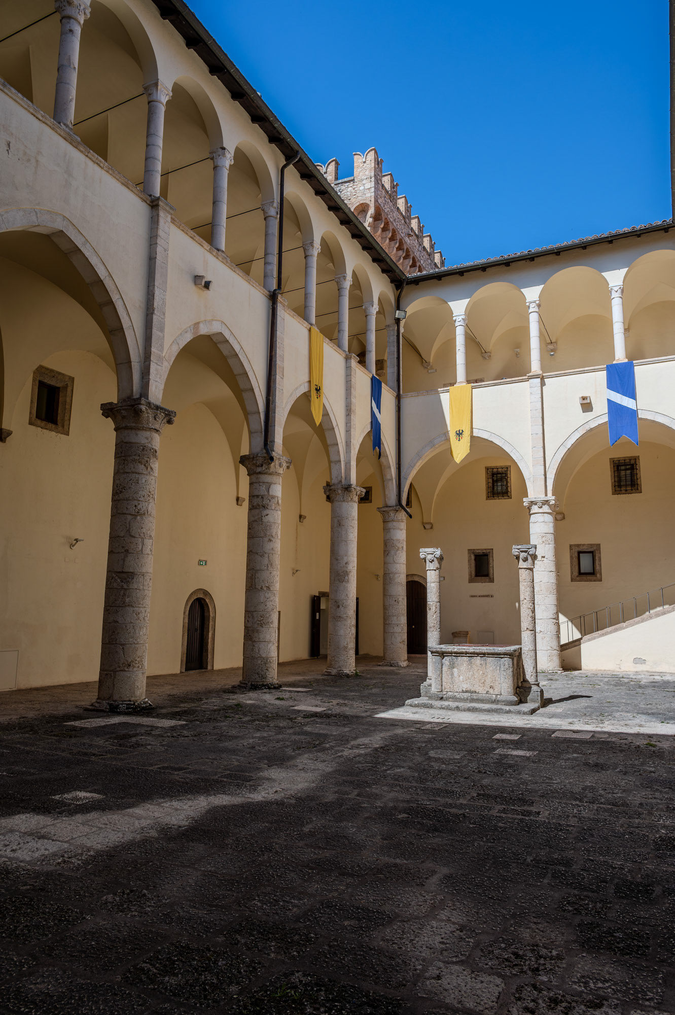
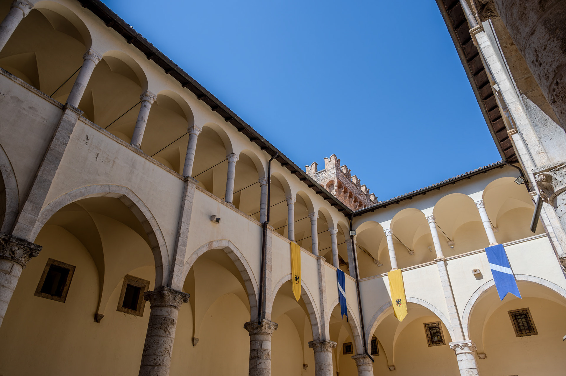
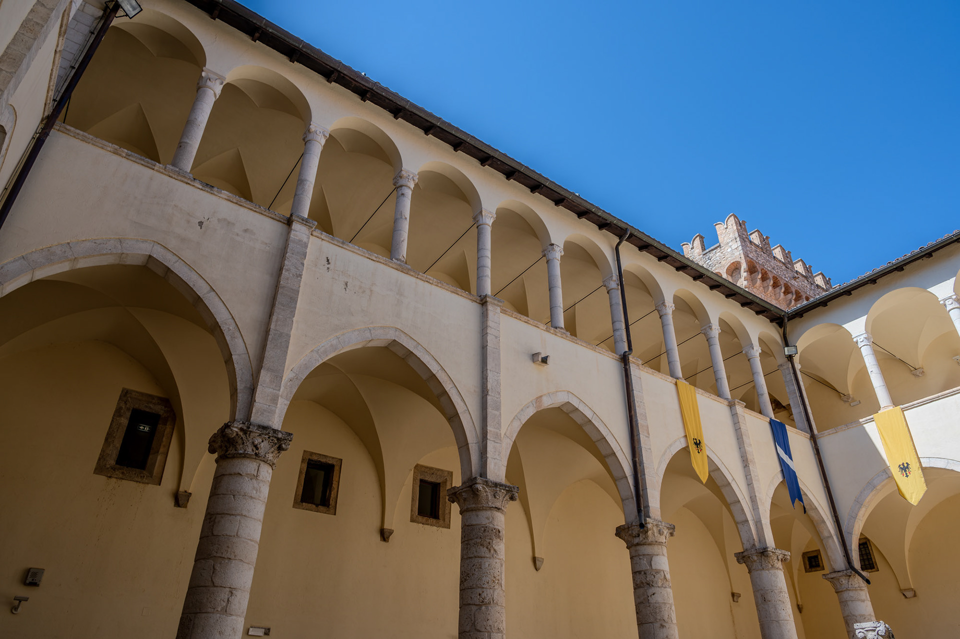
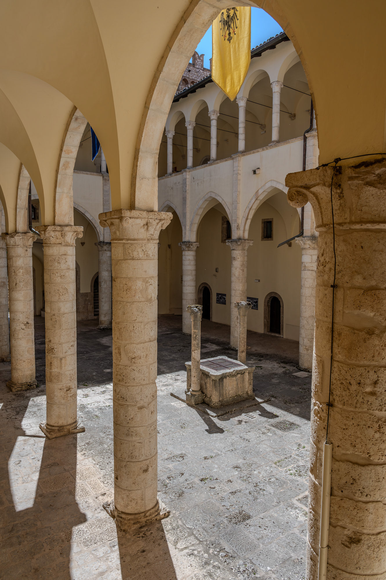
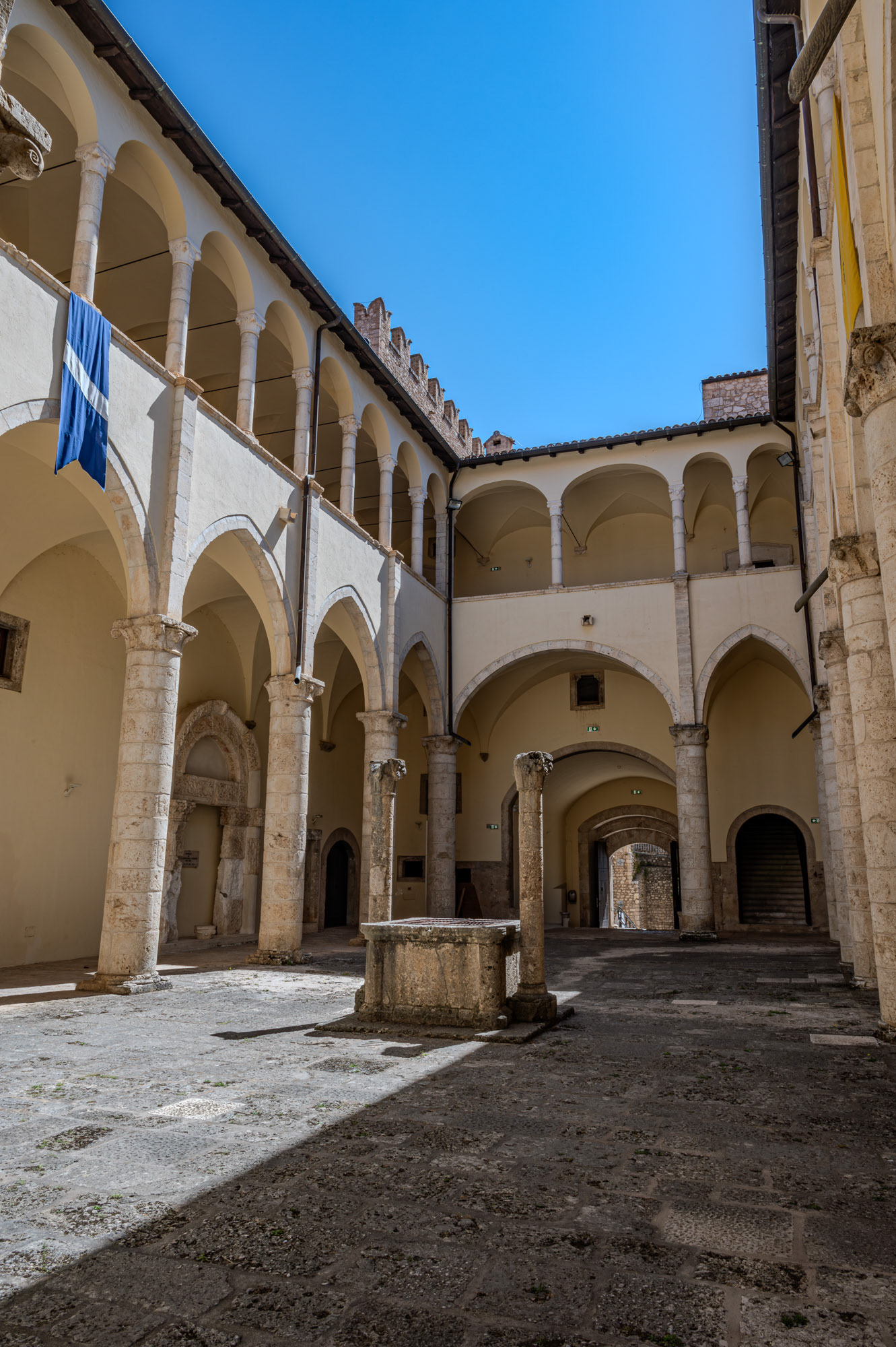
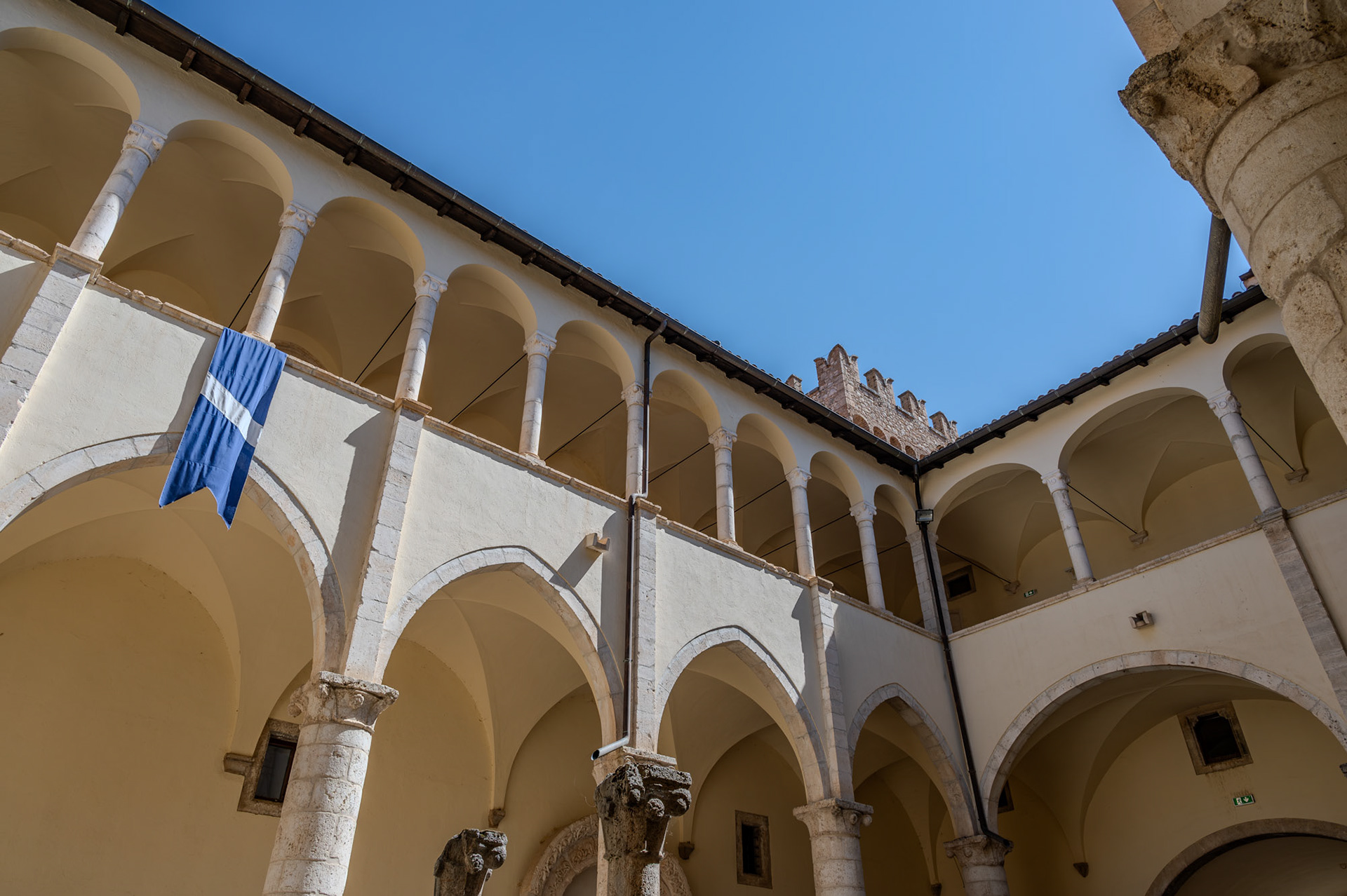
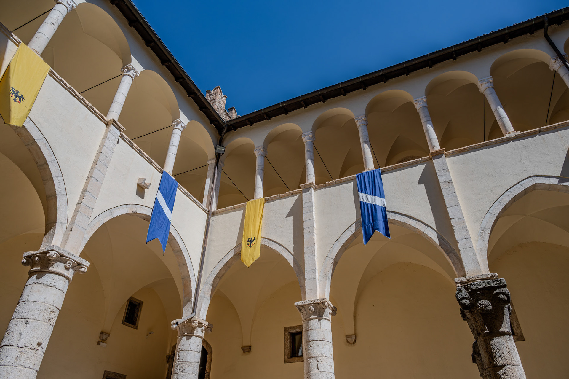
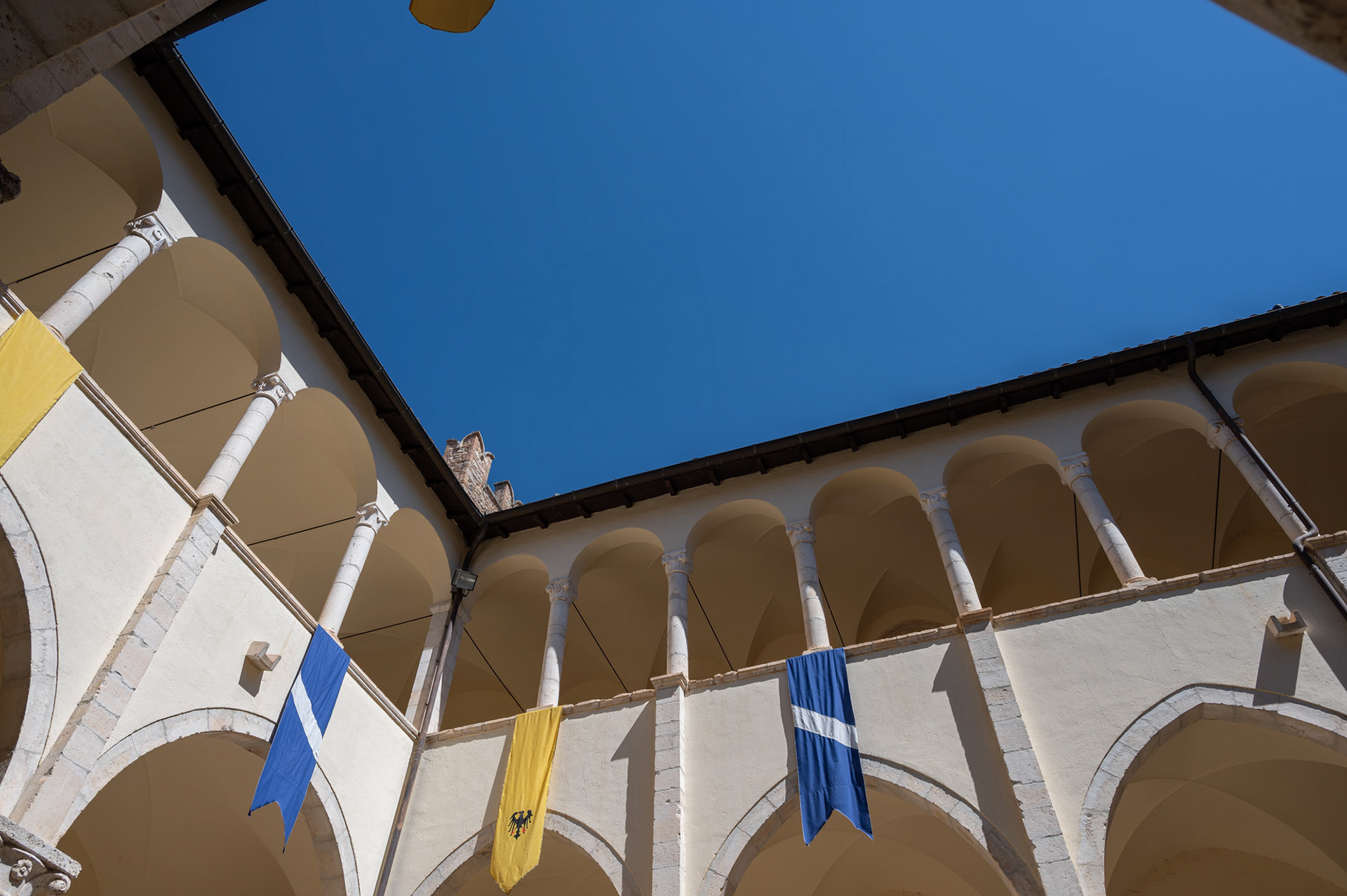
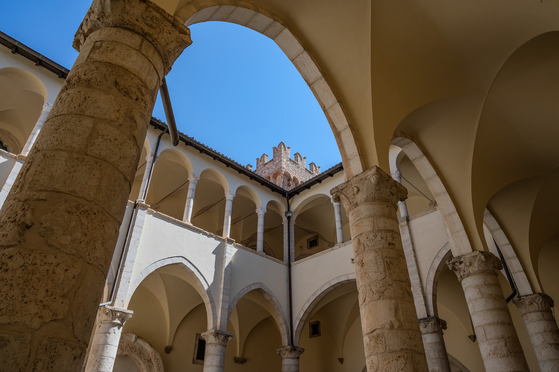
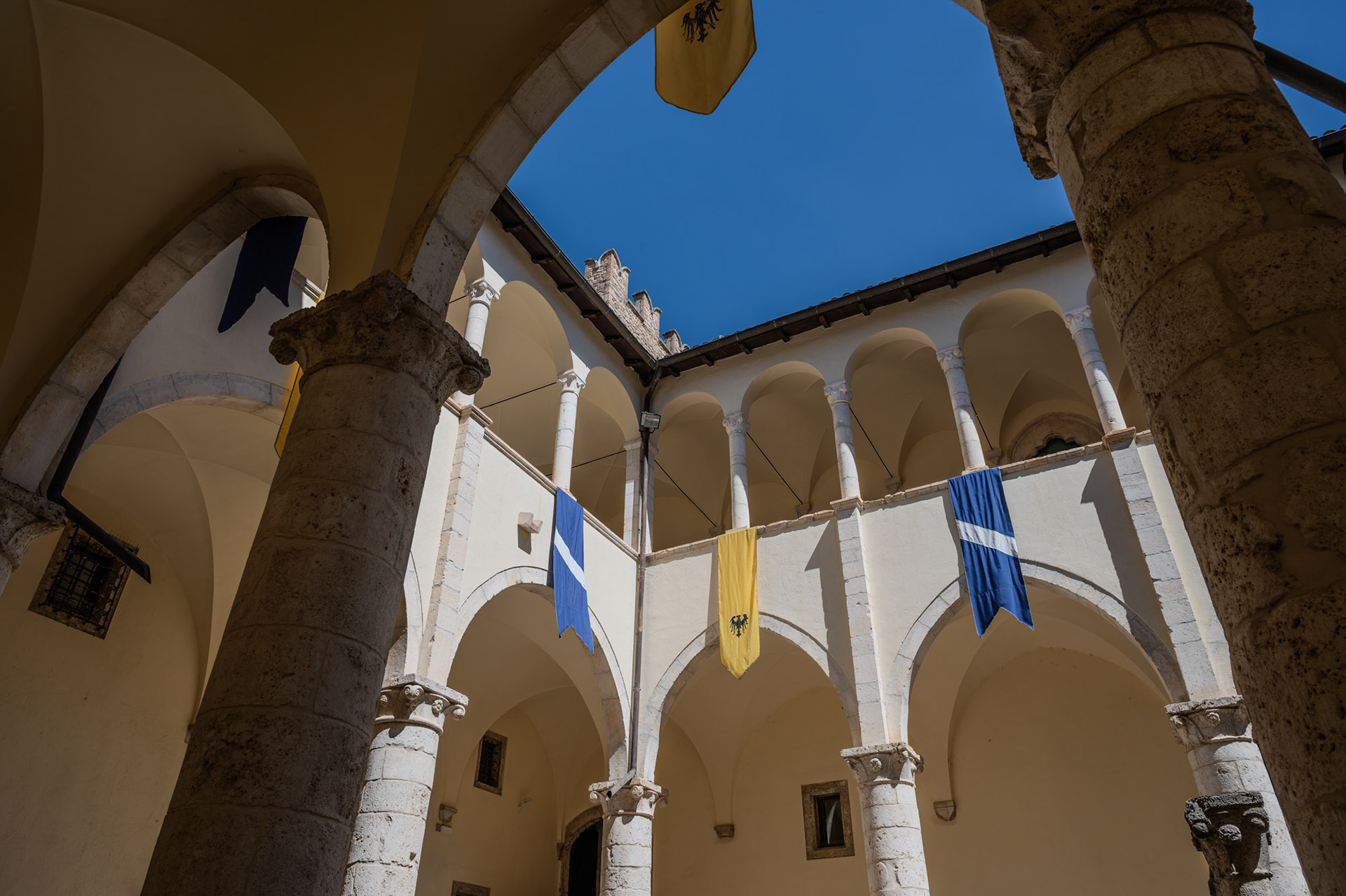
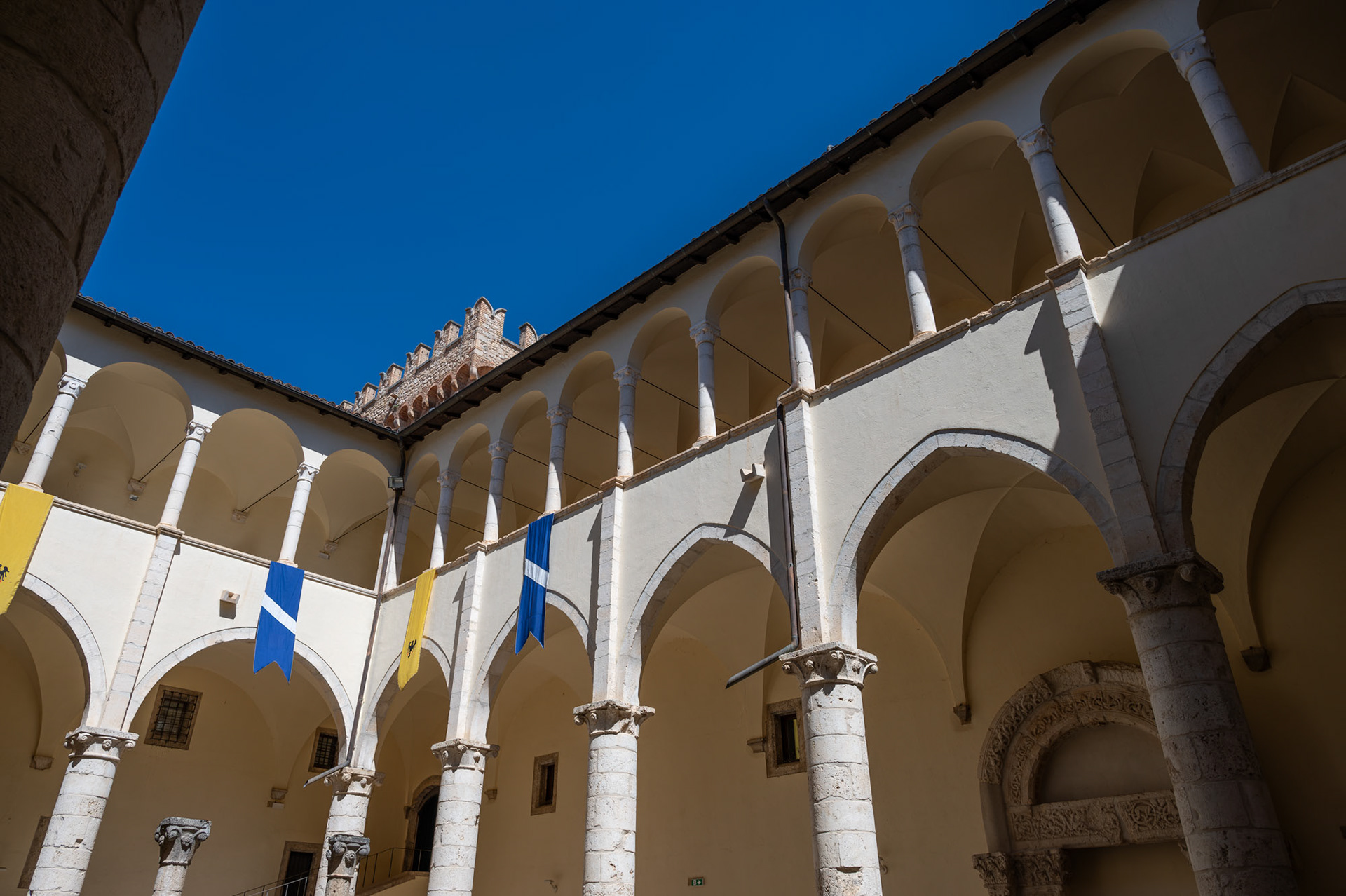
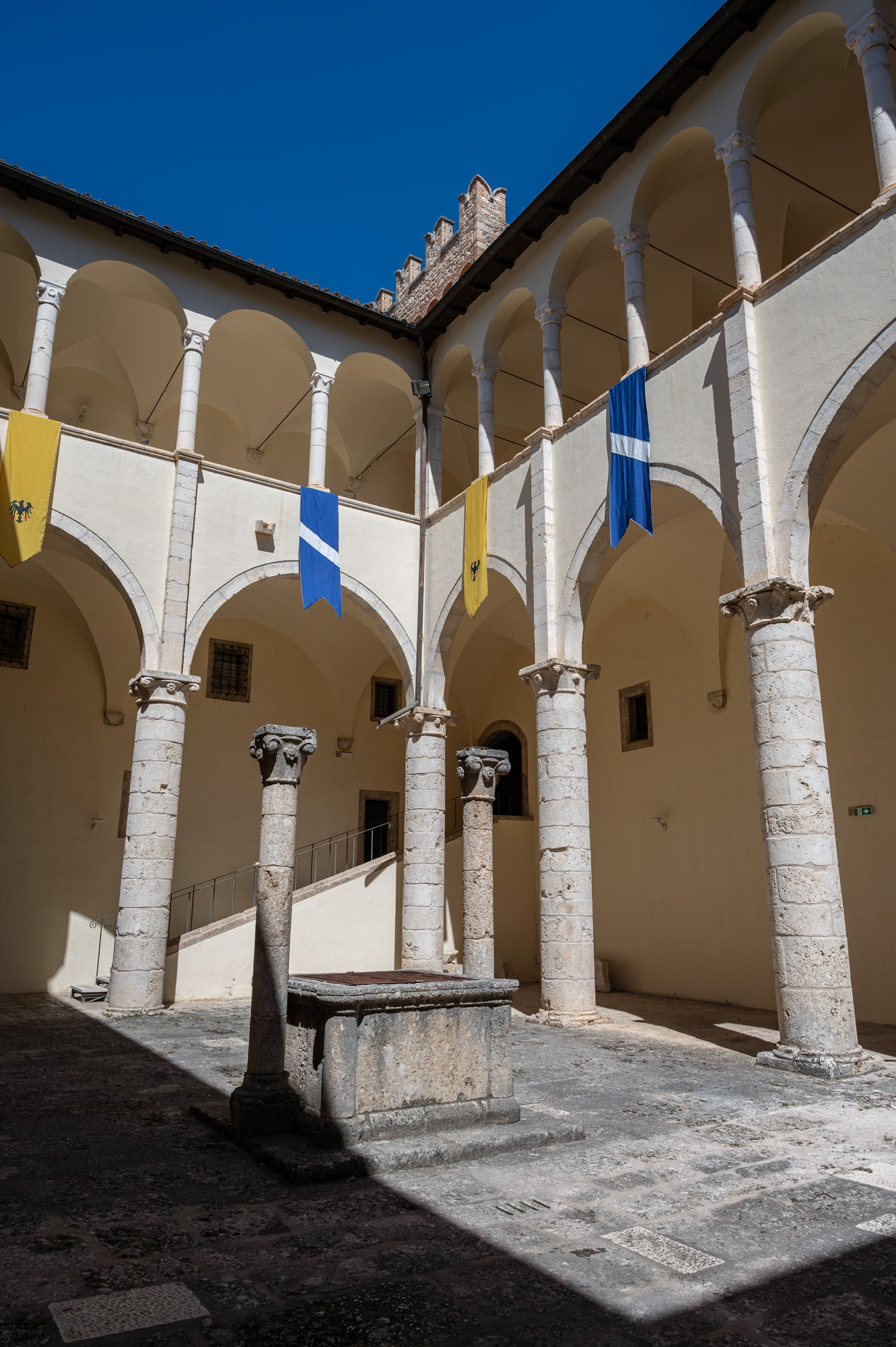
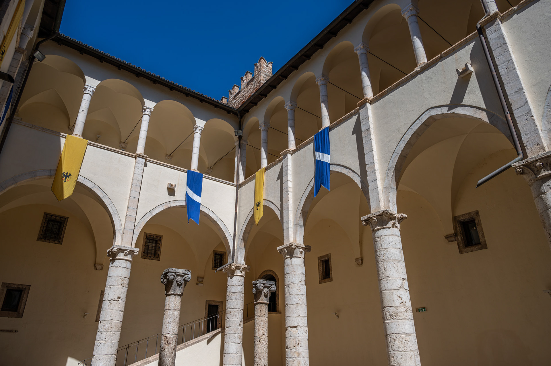
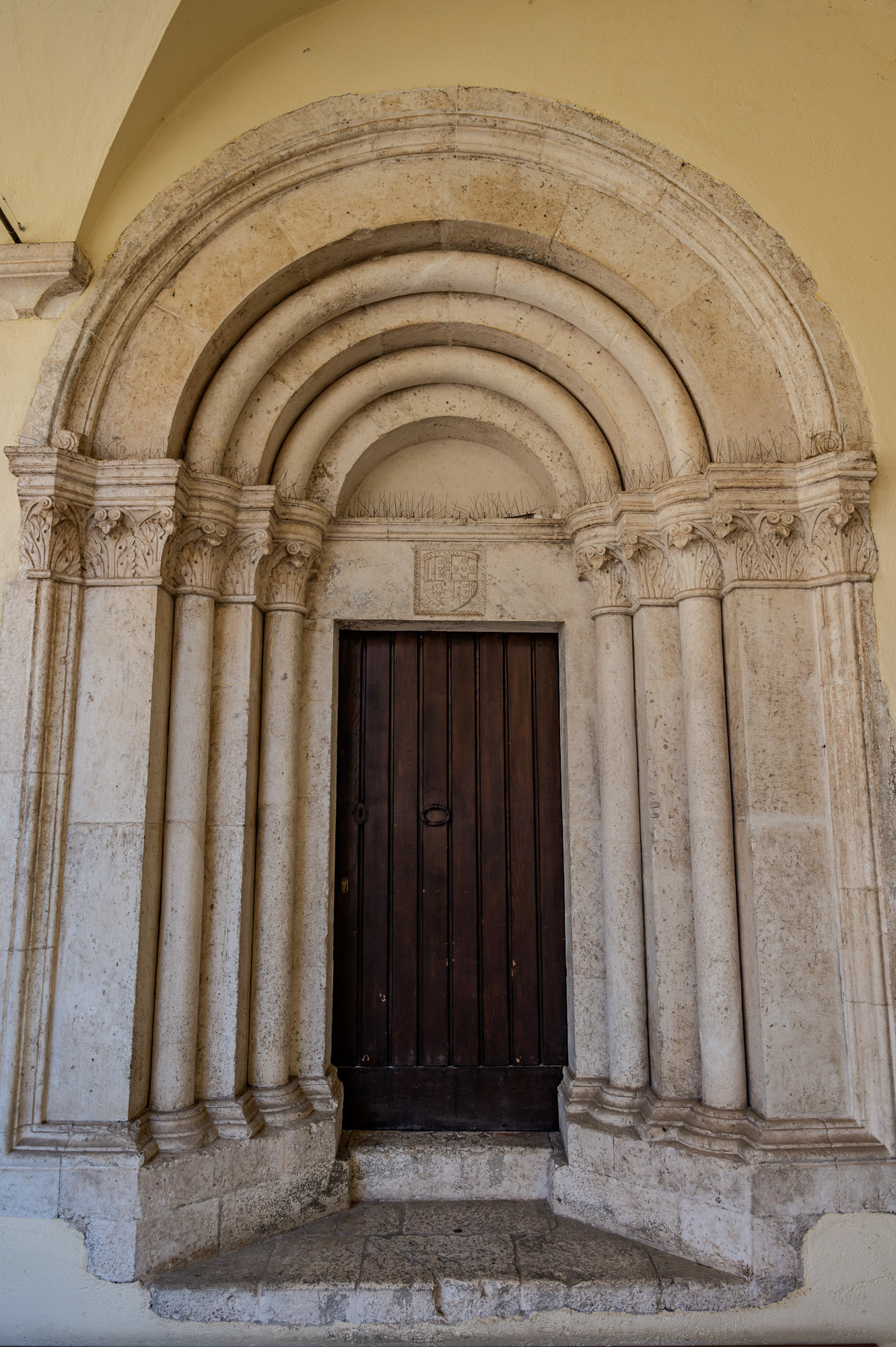
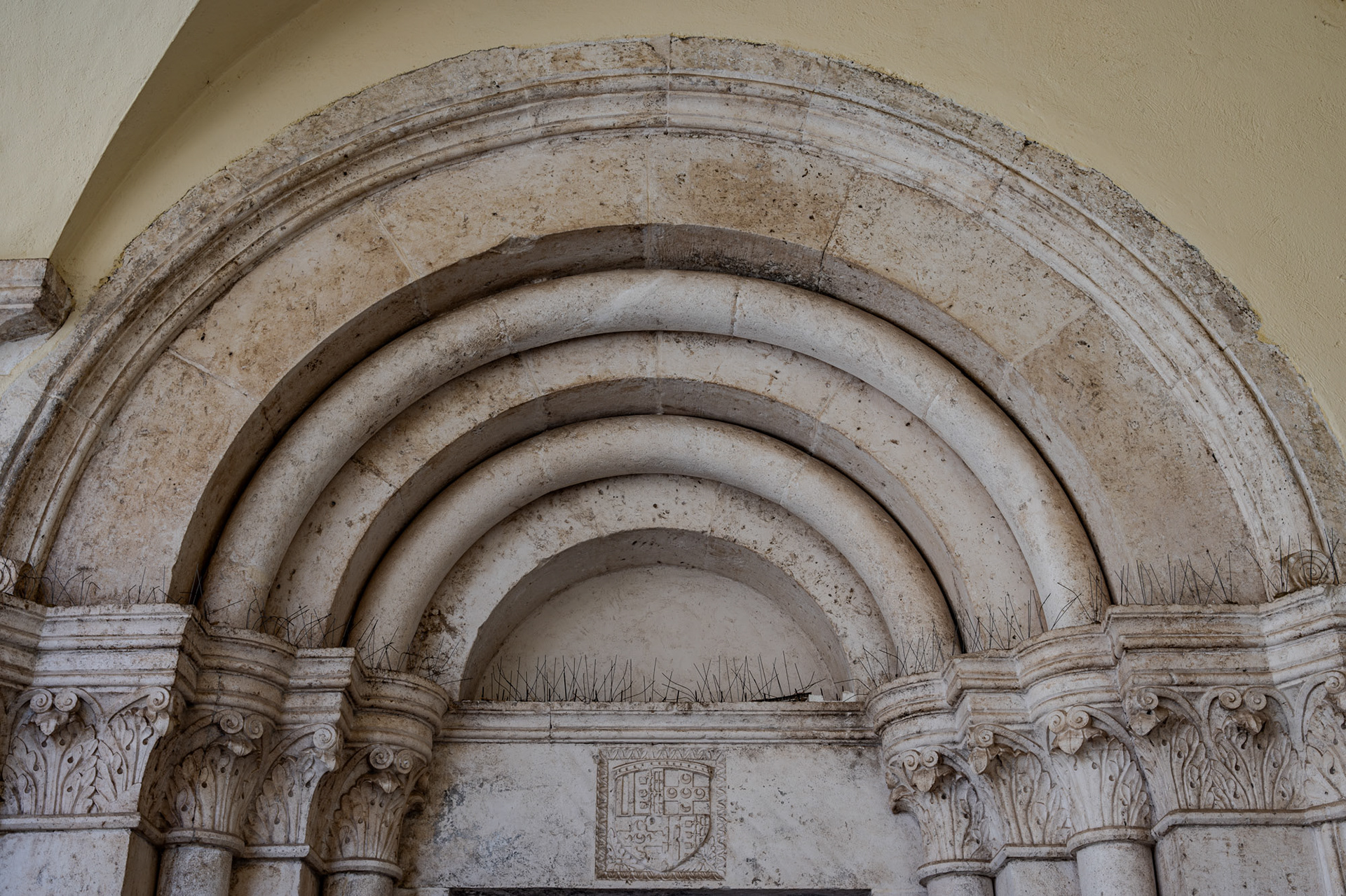
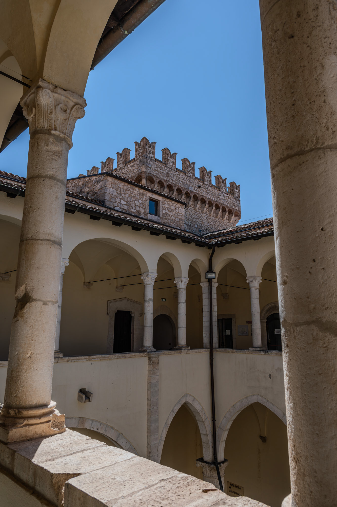
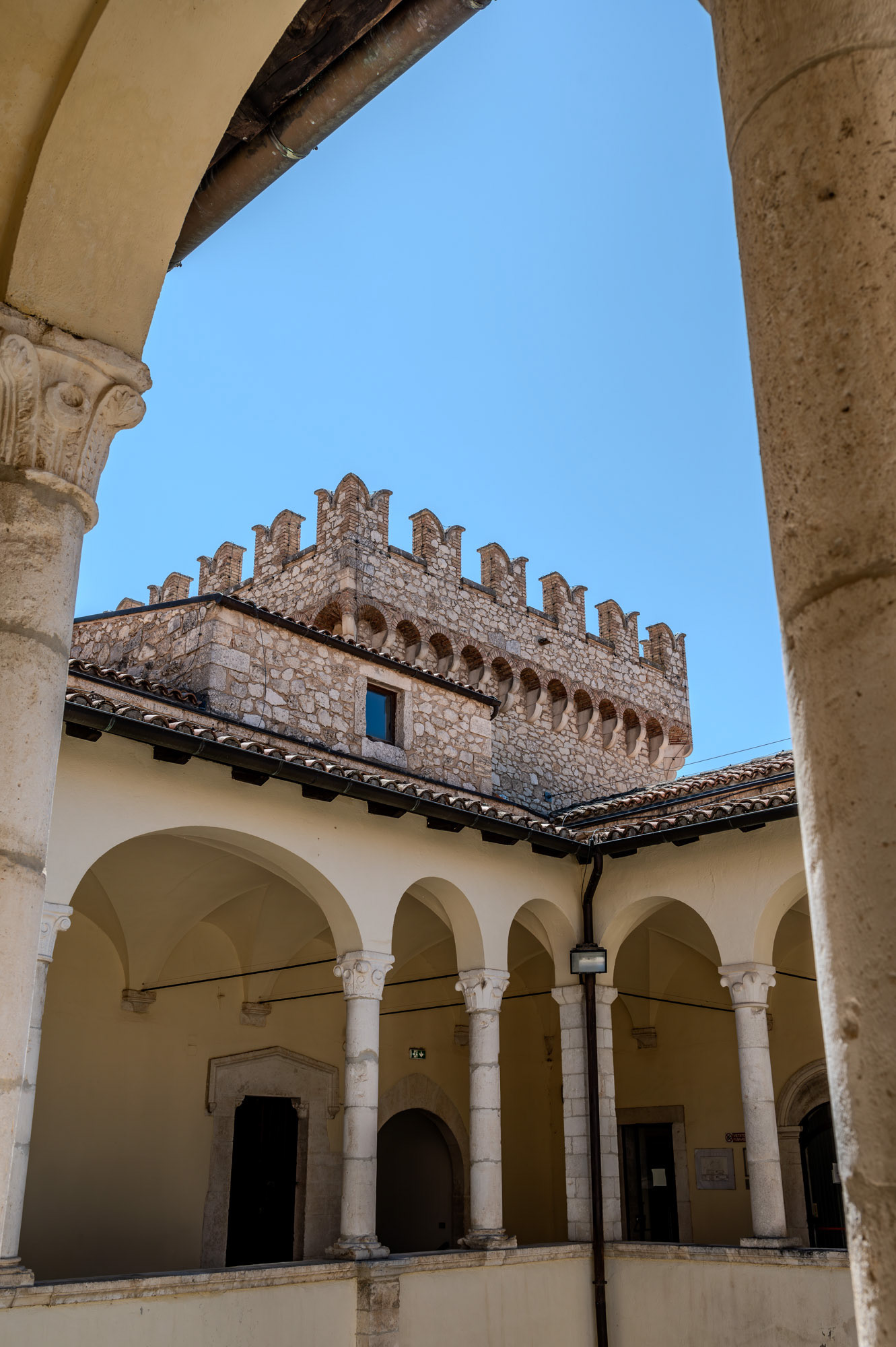
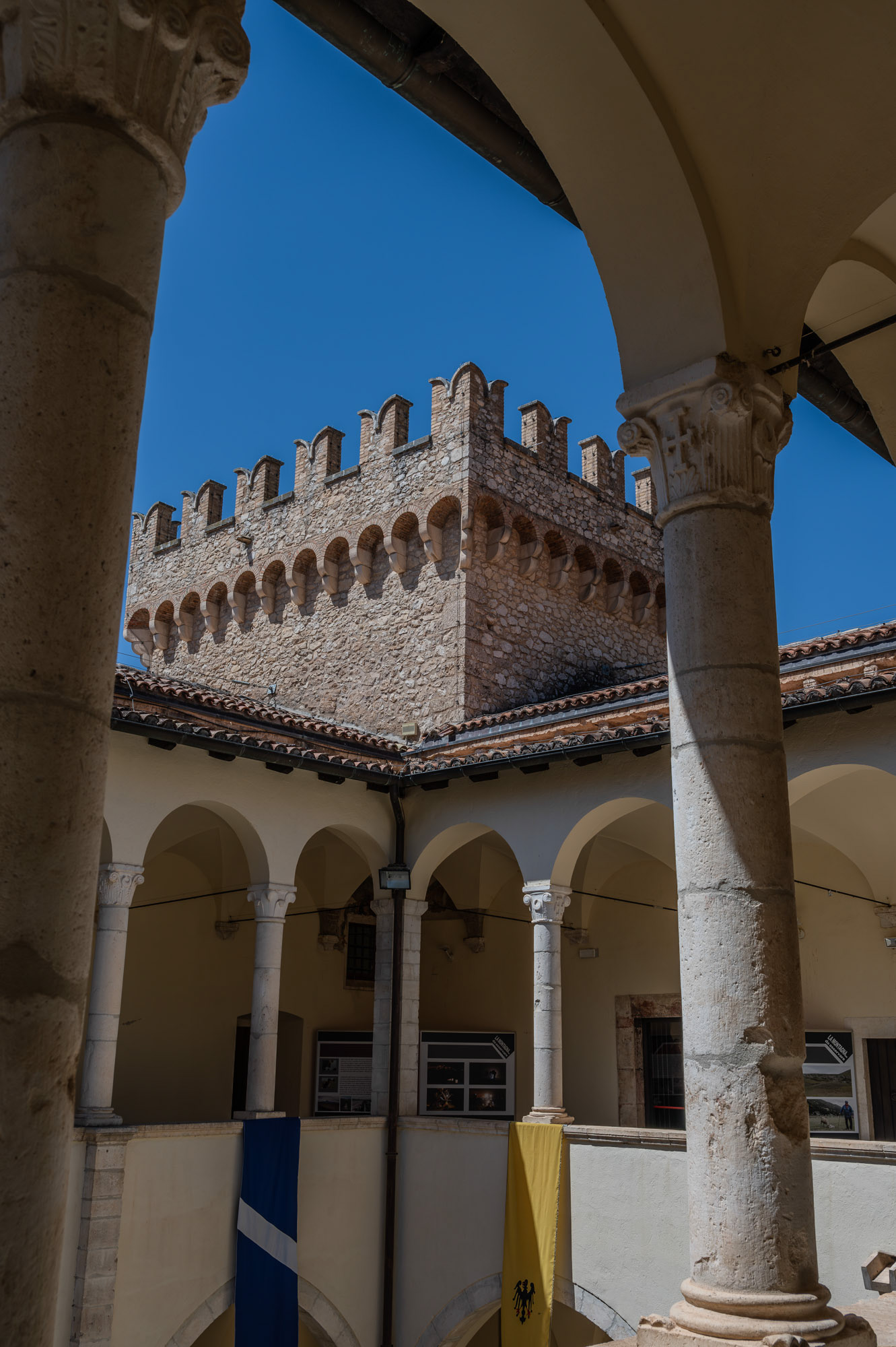
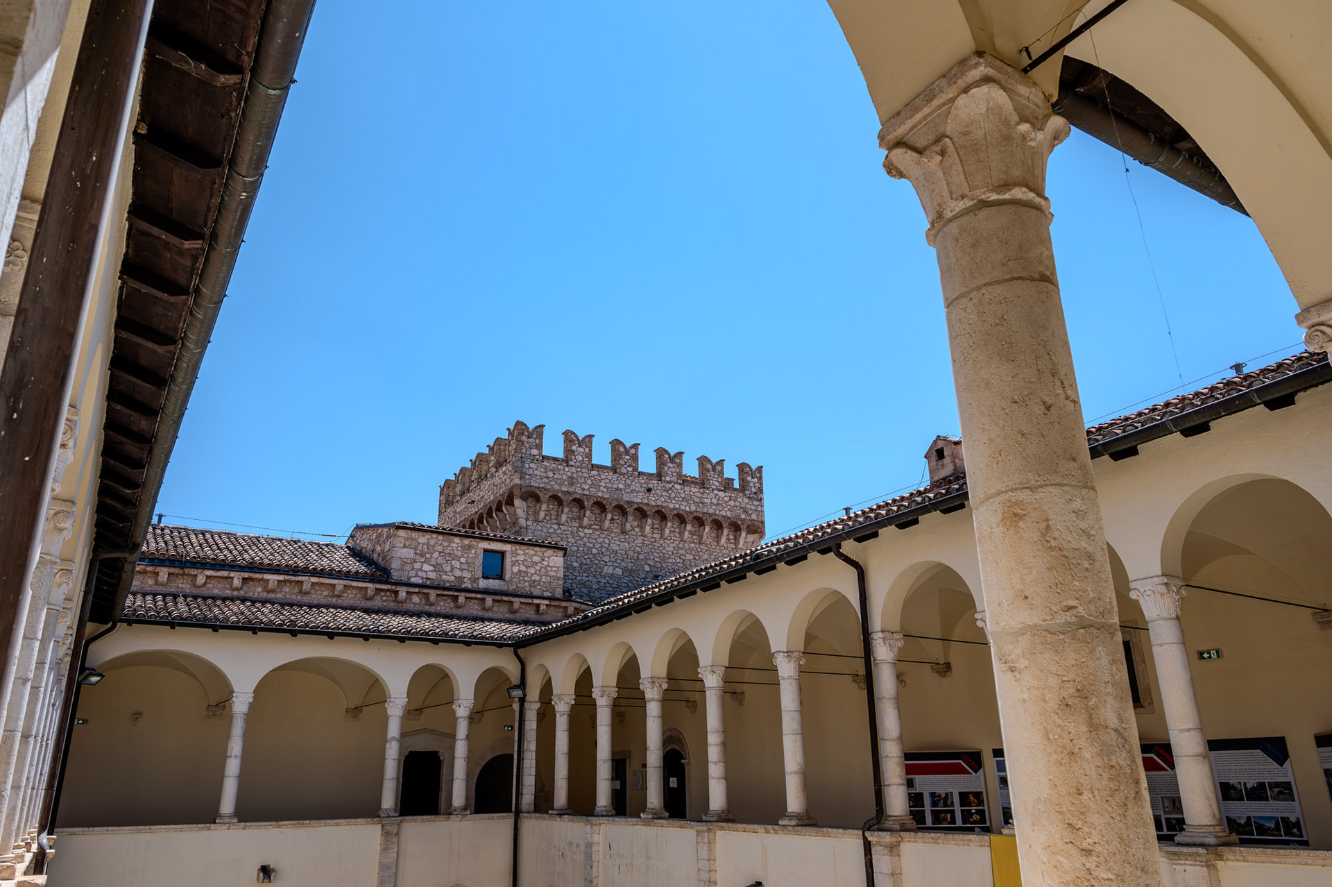
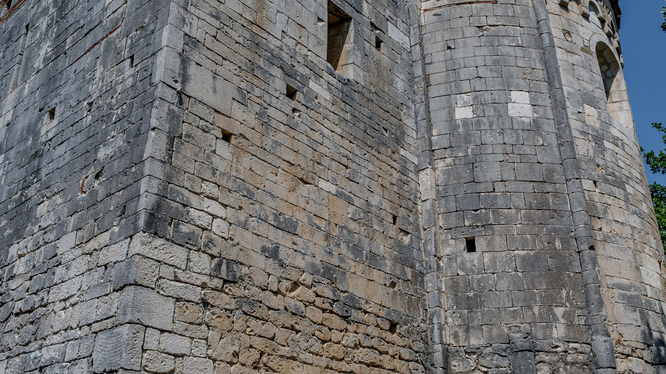
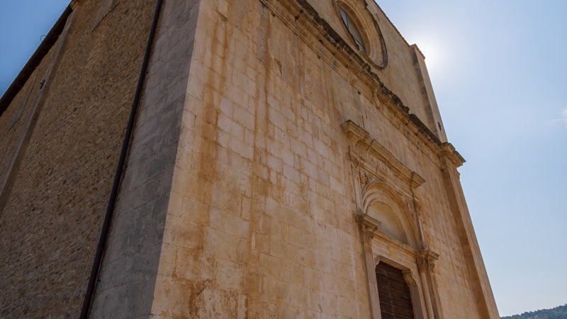
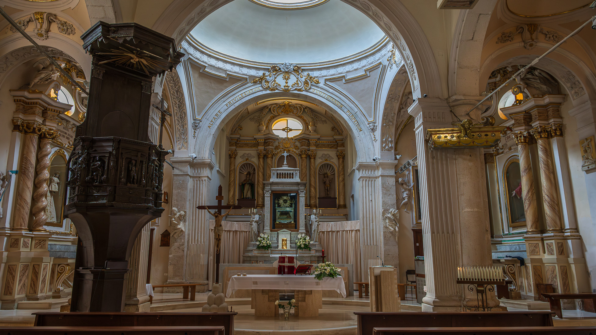
Parish Church of the Child Jesus or of Saints Nicholas and Clemente. The parish church, originally dedicated to SS. Nicola and Clemente, was dedicated in 2015 to the Child Jesus, with a Decree of the archbishop mons. Bruno Strong. It is located in Piazza Umberto I, in front of the town hall. The original building dates back to the 16th century. An epigraph on the bell tower attests that the church was built in 1589 in the eighteenth century two windows were added on the facade for more light. The portico, located on the right side, dates back to the 20th century. The facade is rectangular. A tympanum dominates the portal, while a rose window is decorated with some little heads of angels. The portico has six bays with a round arch. The bell tower has three levels marked on the outside by a stringcourse frame. The interior has three naves, one central and two lateral. In the side aisles there are minor altars, with representations of saints. In the right aisle appear, in order, a niche with St. Sebastian, a first modern altar with an effigy of the Divine Mercy (recently set up), which houses the baptismal font, the latter covered by a late Gothic wooden chest dating back to the nineteenth century. Subsequently there is an altar with Our Lady of Sorrows and the dead Christ, then an altar with St. Anthony of Padua and finally a last one with the representation of the Sacred Heart of Jesus. In the left aisle there is, in order, a first altar with the Madonna del Rosario, then an altar with a painting of the Madonna delle Grazie. Subsequently an altar with S. Cesidio, followed by that in honor of S. Giuseppe. Finally there is a niche with S. Gabriele dell'Addolorata. At the back of the church, on the entrance door, there is a mezzanine supported by four columns, which houses a pipe organ built in the 17th century. At the end to the left of the central nave there is a wooden pulpit, with representations of the life of Jesus. The main altar is located at the end of the central nave, located in the center of the presbytery and is illuminated by the light from the dome. Behind the altar is the urn of the Holy Child, with the tabernacle below.