You may also like

2023
Fara San Martino, Chieti. San Martino in Valle Abbey
The abbey of San Martino in Valle is a ruined Benedictine abbey near the Gole di Fara San Martino in Fara San Martino in the province of Chieti. The first historical sources on the Church located inside the Castle of Rocca S. Martino date back to 829 which list it among the possessions of the monastery of Santo Stefano in Lucania of Tornareccio, to which it had been donated by Pepin the Short. In 844 it passed under the control of the bishop of Spoleto and subsequently among the possessions of the abbey of San Liberatore a Majella. In 1044 the Theatine count Credindeo on his deathbed and for the redemption of his soul and his loved ones (recalling the capitulars of the Longobard king Liutprando) donated the church to the venerable priest Isberto so that he could endow it with an independent Benedictine monastery. In 1172 it became part of the diocese of Chieti. In 1222 Pope Honorius II confirmed the donation of Count Credindeo. The monastery was suppressed in 1452 by Pope Nicholas V and united with the Vatican Chapter, to return in 1789 to the archdiocese of Chieti. The definitive abandonment of the monastery took place on 8 September 1818 due to a flood that covered it with debris. The first excavations for its recovery took place in 1891, but only with those of 2009 were the remains of the structure fully brought to light. The remains of the abbey show a gate to an internal courtyard bordered by a three-arched portico, on the north side of which is a bell gable. The interior of the church had to have three naves with stone slab flooring. A wall with three arches separates the central nave from the northern one, from where one enters what must have been the initial nucleus of the church, dug into the rock, which suggests the birth of the place of worship as a hermitage.
2023
Fara San Martino. The Gorges of San Martino
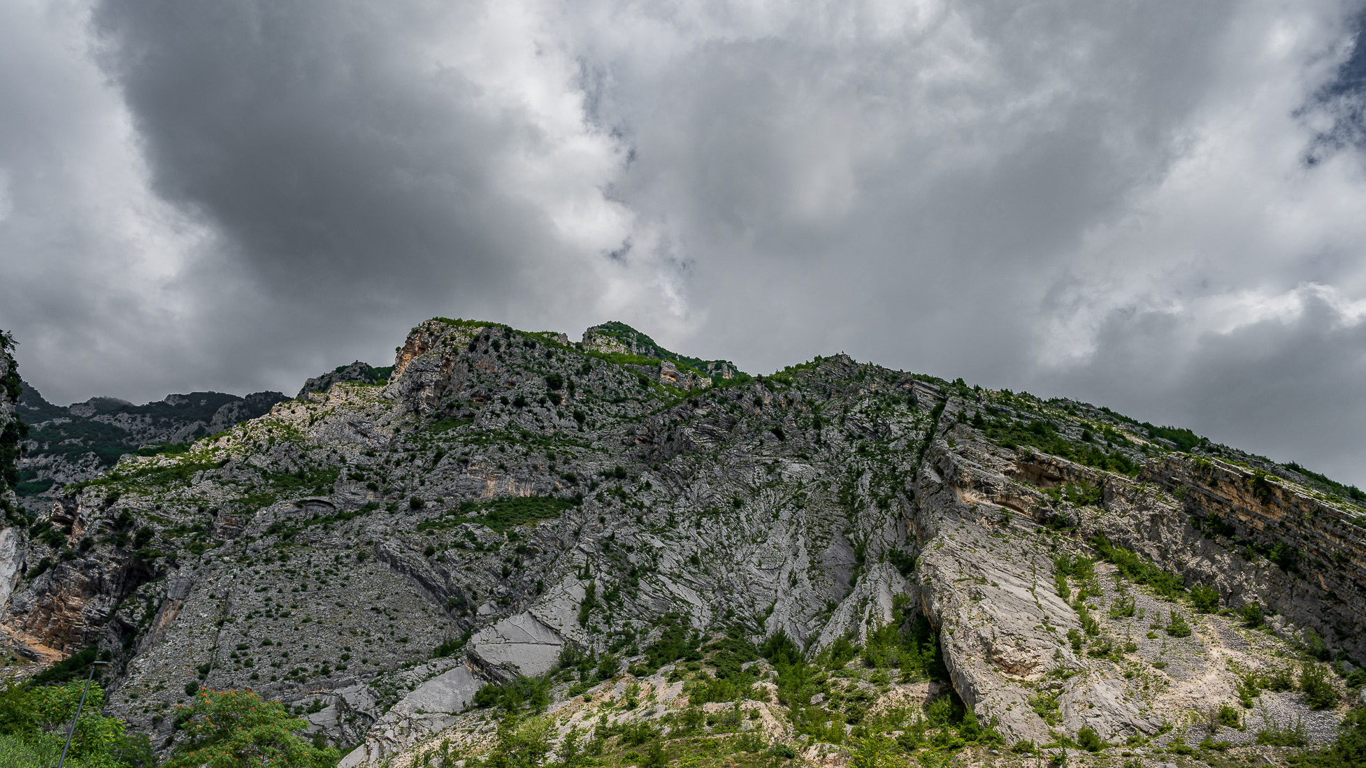
the Gole di San Martino opens with a narrow passage from the high rocky walls on the eastern slope of the Maiella, just outside the town of Fara. This is the beginning of the gorge-like valley that leads to the highest peak of the Maiella, Monte Amaro (2793 m), and includes the wildest territories of the entire massif with a 14 km long route and a difference in height of 2300 m . It can be divided into three parts: the Valle di S. Spirito, the Valle di Macchia Lunga and the Val Cannella. The latter ends with a glacial cirque in the center of which is the Manzini refuge. According to popular tradition, these suggestive gorges, just 2 m wide and about 30 m long, were opened by San Martino with the strength of his arms to allow the people of Fares to access the high pastures of the Majella more quickly. After walking a few meters, you can see the monastery of San Martino in Valle which an archaeological excavation has recently brought to light. In reality, this remarkable scenario was produced by the erosive and incessant action of the torrential waters coming from the melting of the surrounding snowfields during the Quaternary, in particular during the glaciations. With an evident franapoggio stratification that highlights the oldest terms as you go up, the oldest rocks of the Maiella emerge here, represented by beige-hazelnut platform limestones dating back to the lower Cretaceous. They contain fossil remains of algae and benthic foraminifera. Near the monastery, it is possible to observe an outcrop full of rudists, lamellibranchs who build cliffs now extinct but clearly visible in Maiella on Cima Murelle.
2023
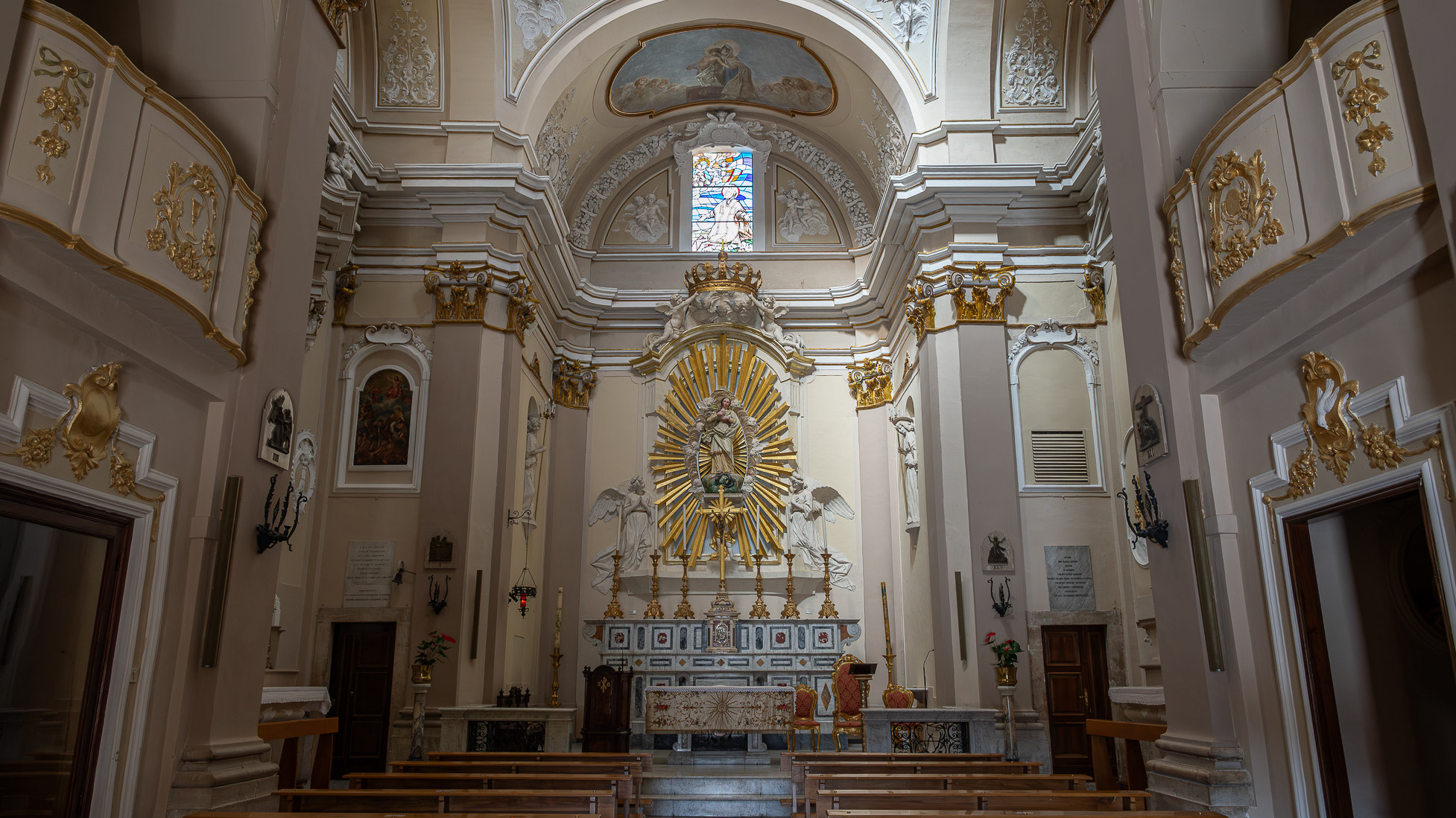
Sulmona. Church of San Filippo Neri
The construction of the church and oratory of San Filippo Neri began in the mid-17th century and was completed in 1677. However, in the beginning the congregation was based - together with that of the Jesuit Fathers - in the church of Sant'Ignazio , located in Piazza XX Settembre and no longer existing today; only later did it move to Piazza Maggiore - the current Piazza Garibaldi - within the lively and populous Borgo Pacentrano. The earthquake of 1706 forced a reconstruction of the complex, which Baron Giambattista Mazara magnanimously took charge of between 1785 and 1794, deserving the commemorative plaque placed on the right wall of the church; the adjoining convent had to assume considerable decorum, so much so that in 1796 it was even able to host King Ferdinand IV of Bourbon on a visit to the city. In 1799, with the suppression of the Filipino order, the Fathers left the city and the sacred building, abandoned and reduced to profane use, was transformed into an oven and also used for military purposes. Likewise, the oratory, confiscated by the Royal Property, had various uses and today is the headquarters of the Command of the Guardia di Finanza. Only in 1920 did the church regain its religious use, becoming the seat of the parish of Sant'Agata. From here the traditional demonstration of the Madonna fleeing into the square begins on Easter morning, the joyful conclusion of Holy Week in Sulmona.
2024
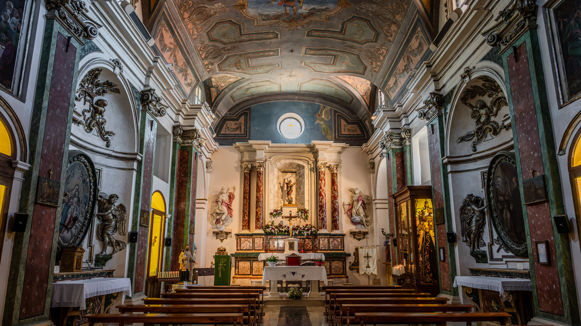
Celano. Church of San Michele Arcangelo
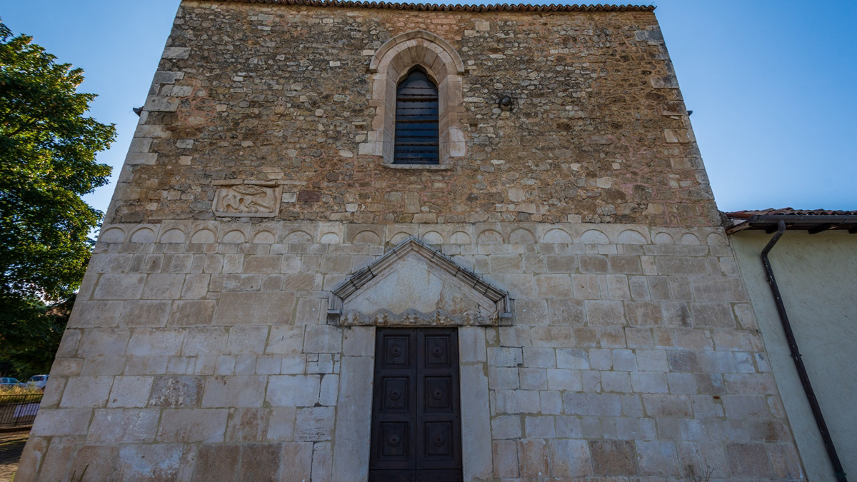
The construction of the Church of San Michele Arcangelo dates back to the 14th century. At the end of the 14th century the Counts of Celano donated it to the congregation of the Celestine monks
2018
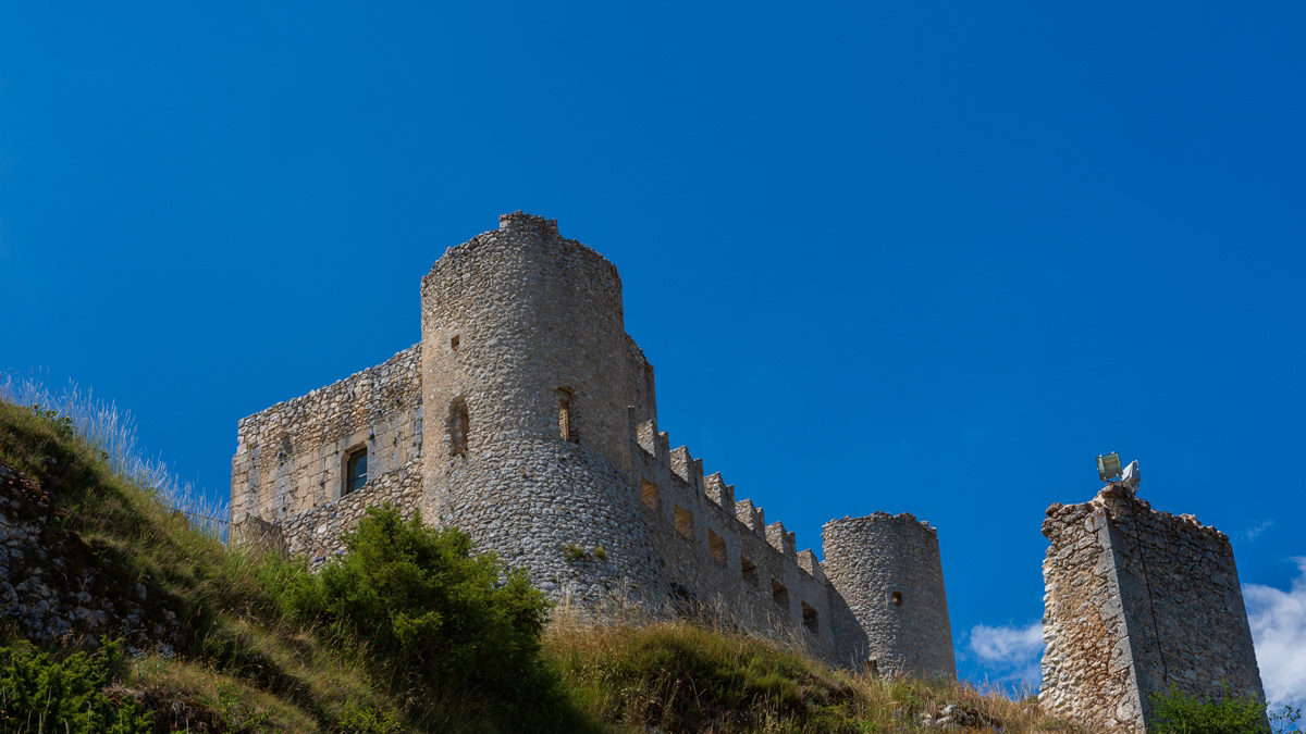
Rocca Calascio (AQ)
Rocca Calascio is a fortress located in Abruzzo, in the province of L'Aquila, in the territory of the municipality of Calascio, at an altitude of 1450 meters above sea level, just above the town. It is included in the Gran Sasso and Monti della Laga National Park. It is known for the presence of the castle, one of the highest in Italy, and the ancient medieval village below, still inhabited by some inhabitants. The Rocca is considered one of the symbols of Abruzzo. The foundation of the fortress is probably due to the will of King Ruggero d'Altavilla after the Norman conquest of 1140 with a prevalent sighting function, even if the first historical document attesting its presence is dated 1239. It was part of Calascio, Castelvecchio Calvisio, Carapelle Calvisio and Santo Stefano di Sessanio of the famous Barony of Carapelle, whose historical events he followed until 1806, the year of the abolition of feudality. Over the centuries, the Pagliara, Plessis, Colonna, Celano, Caldora, Accrocciamuro, Todeschini Piccolomini, Del Pezzo, Cattaneo, Medici and Bourbon families followed one another in the domain. In particular, in 1463 it was granted by King Ferdinand to Antonio Todeschini of the Piccolomini family who modified the fortification by equipping it with a pebble wall and four cylindrical towers for military use, with a Ghibelline battlements. In 1703 it was devastated by a violent earthquake following which the highest area of ​​the village was abandoned and a large part of the population moved to the nearby town of Calascio. In the twentieth century, even the last remaining families left the village and the fortress remained uninhabited. At the end of the century, however, also in the wake of the success deriving from the setting of some films (above all Lady Hawke of 1985 and The Name of the Rose of 1986), some houses were recovered and others were converted to accommodation facilities; Furthermore, the castle has undergone an important restoration and consolidation operation and is now one of the main tourist attractions in the area, thanks to the work of two spouses and their family who have opened a widespread hotel just below the castle.
2024
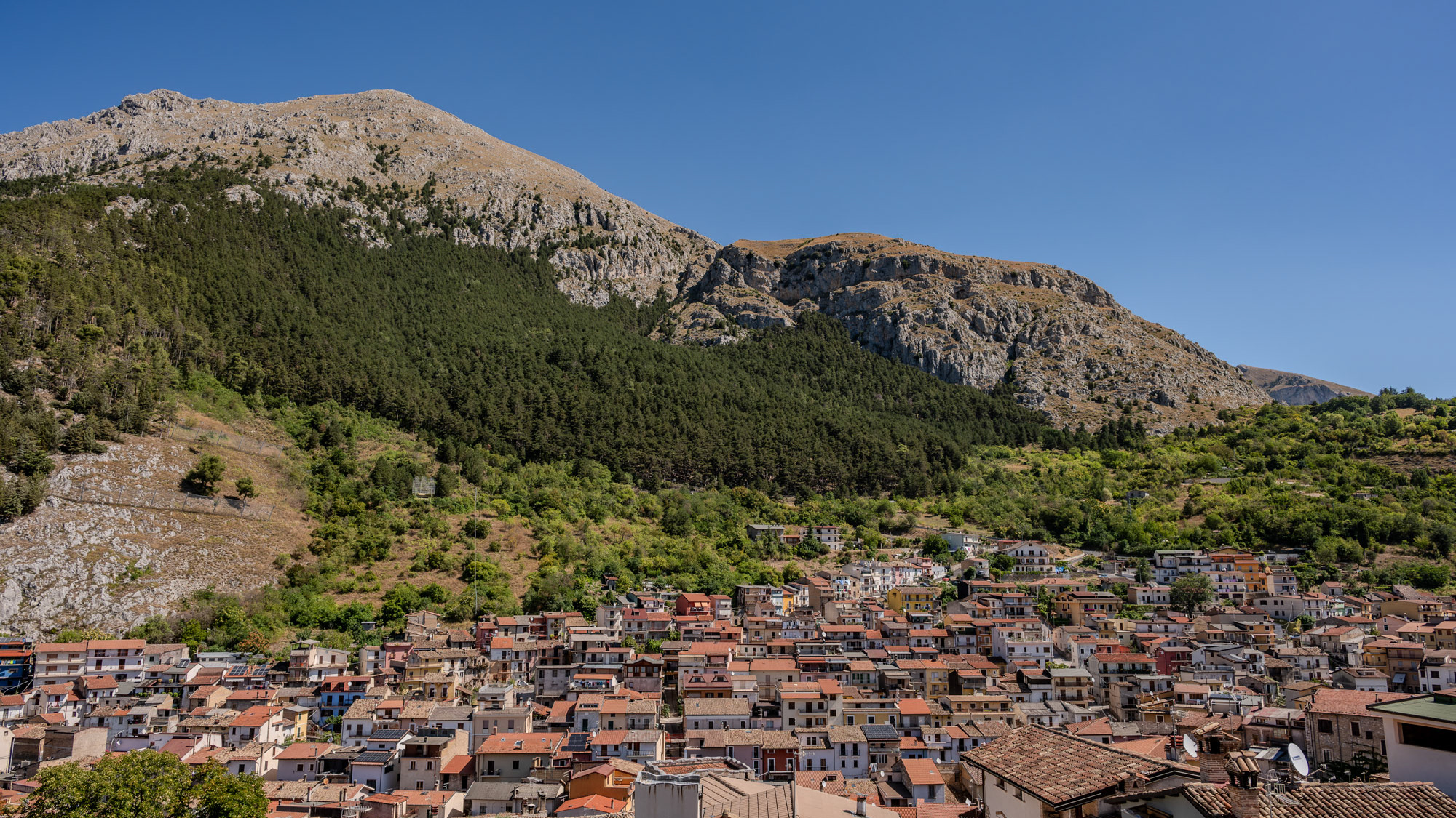
Celano and the Fucino Plain
Celano is a splendid town in Abruzzo, overlooking the Fucino plain, composed of a medieval village which in the upper part still preserves the Castle dating back to the 14th century.
2018
Coppito (AQ) - Church of San Pietro Apostolo
2021
Panoramas of Abruzzo
Abruzzo is an Italian region located east of Rome, between the Adriatic and the Apennines. The hinterland consists largely of national parks and nature reserves. The region also includes medieval and Renaissance villages perched on the hills. The regional capital, L'Aquila, is a walled city, damaged by the earthquake of 2009. The Costa dei Trabocchi, with its sandy coves, takes its name from the traditional fishing piers.
2017
Abruzzo - Gran Sasso of Italy
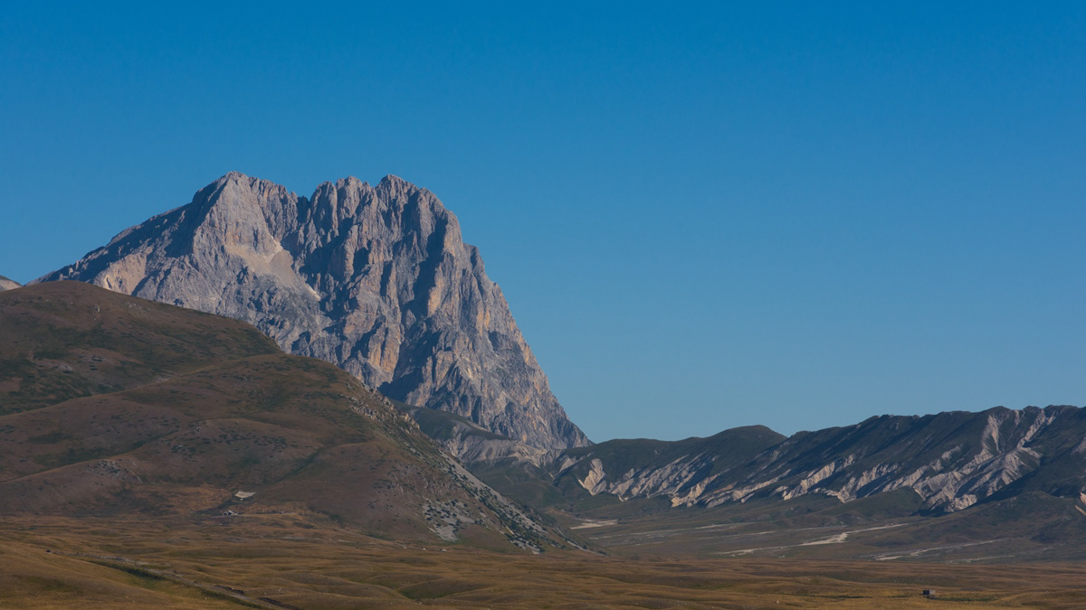
The Gran Sasso (or Gran Sasso d'Italia) is the highest mountain massif of the continental Apennines, located in the central Apennines, entirely in Abruzzo, as part of the easternmost ridge of the Abruzzo Apennines, on the border between the provinces of L ' Aquila, Teramo and Pescara. It borders to the north with the territories of Fano Adriano, Pietracamela, Isola del Gran Sasso d'Italia, Castelli and Arsita, to the east with the Gorges of Popoli, to the south-west directly with the plain of Assergi, further downstream with L'Aquila , to the south it is limited by Campo Imperatore and downstream by the Piana di Navelli, while to the west-north-west it borders the chain of the Monti della Laga and Lake Campotosto, separated from them by the upper Vomano Valley and the state road 80 of the Gran Sasso d'Italia that crosses it. The Gran Sasso d'Italia is a protected environmental area with the establishment of the Gran Sasso and Monti della Laga National Park. It includes the Gran Sasso mountain community and the Campo Imperatore-Piana di Navelli mountain community.
2024
Fossacesia. Abbey of San Giovanni in Venere
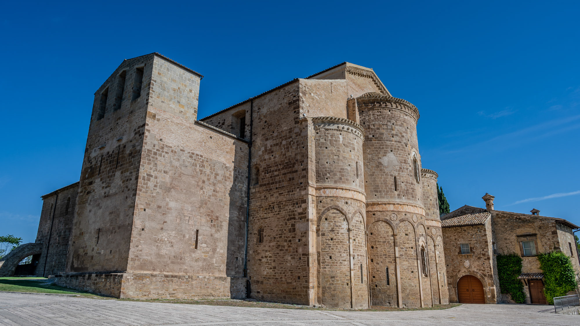
It is a Christian monastic complex located in the municipality of Fossacesia, on a hill overlooking the Adriatic Sea. The complex is made up of a basilica and the nearby convent.
Back to Top